Elevation of Чигота, Čigota, Rakovica, Serbia
Location: Serbia > Zlatibor District > Rakovica >
Longitude: 19.7730556
Latitude: 43.6483333
Elevation: 1399m / 4590feet
Barometric Pressure: 86KPa
Elevation Map:
Satellite Map:
Related Photos:

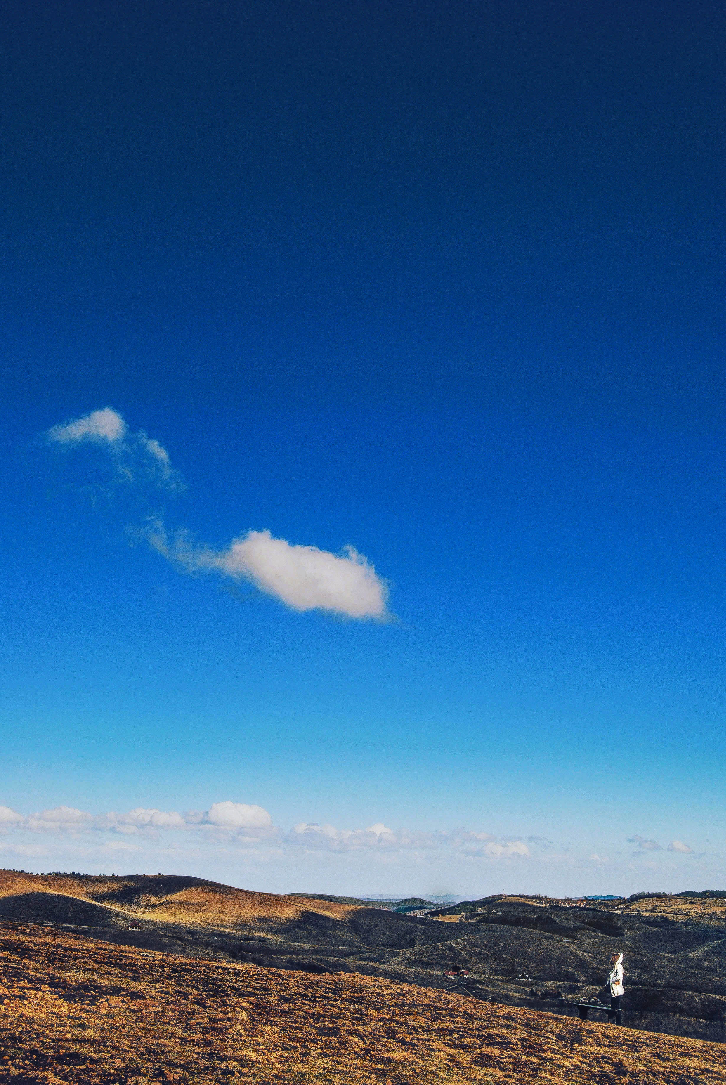
Bench with a view

Golden summer glow

is it a sign?

Gostilje, Zlatibor

Zlatibor skyline 2

Alone against the storm.

Vodopad Gostilje 3

After storm...

Vodopad Gostilje 4

Vodopad Gostilje 2

Lake reflection.

Vodopad Gostilje 1

Gostilje waterfall

RS - Sušica - 441 512

a natural symmetry

in the middle of ...

Pessanger train from Belgrade to Prijepolje

Zlatar lake 3
Tell her, cloud!!!

Serbia ♥ ~

Fantastic structures of Stopica cave, Serbia

Mirror lake

Zlatibor landscape.
Topographic Map of Чигота, Čigota, Rakovica, Serbia
Find elevation by address:

Places near Чигота, Čigota, Rakovica, Serbia:
Rakovica
Zlatibor District
Zlatibor
Užice
Makovište
Povlen
Debelo Brdo
Magleš
Crni Vrh
Divčibare
Gornje Leskovice
Moravica District
Čačak
Valjevo
Prislonica
Kolubara District
Vujan Monastery
Majdan
Varnice
Borač, Knić
Recent Searches:
- Elevation of 24 Oakland Rd #, Scotland, ON N0E 1R0, Canada
- Elevation of Deep Gap Farm Rd E, Mill Spring, NC, USA
- Elevation of Dog Leg Dr, Minden, NV, USA
- Elevation of Dog Leg Dr, Minden, NV, USA
- Elevation of Kambingan Sa Pansol Atbp., Purok 7 Pansol, Candaba, Pampanga, Philippines
- Elevation of Pinewood Dr, New Bern, NC, USA
- Elevation of Mountain View, CA, USA
- Elevation of Foligno, Province of Perugia, Italy
- Elevation of Blauwestad, Netherlands
- Elevation of Bella Terra Blvd, Estero, FL, USA