Elevation of Crni vrh, Divčibare, Serbia
Location: Serbia > Kolubara District > Divčibare >
Longitude: 20.0003053
Latitude: 44.1004002
Elevation: 1015m / 3330feet
Barometric Pressure: 90KPa
Elevation Map:
Satellite Map:
Related Photos:
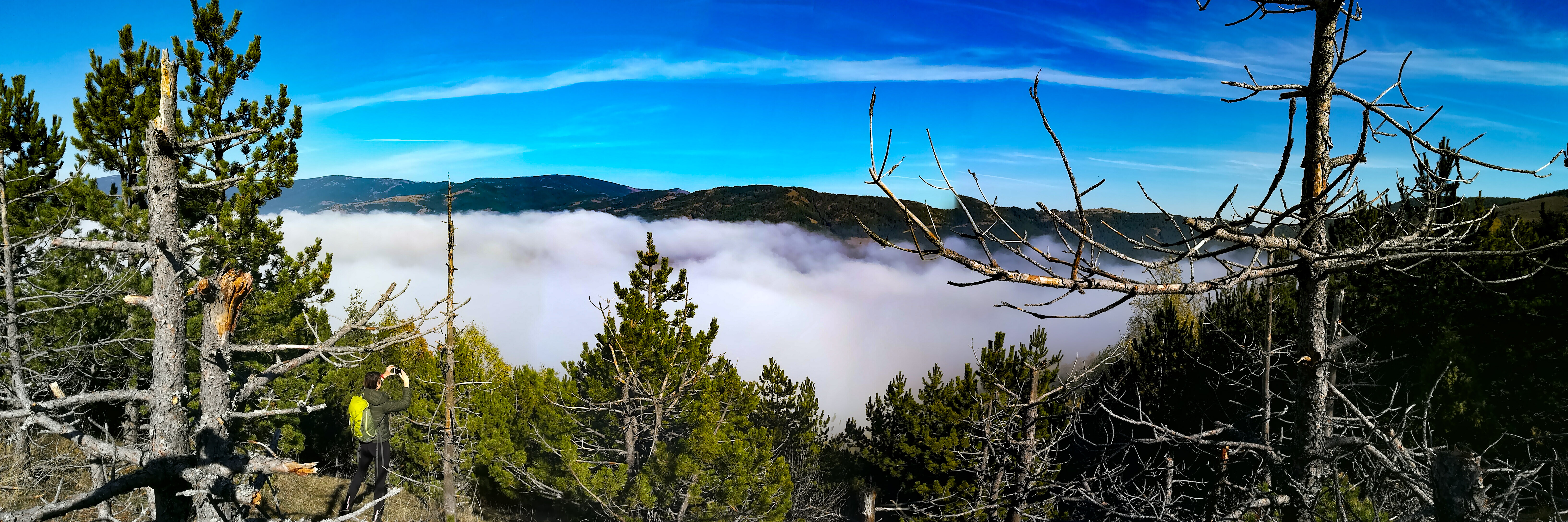
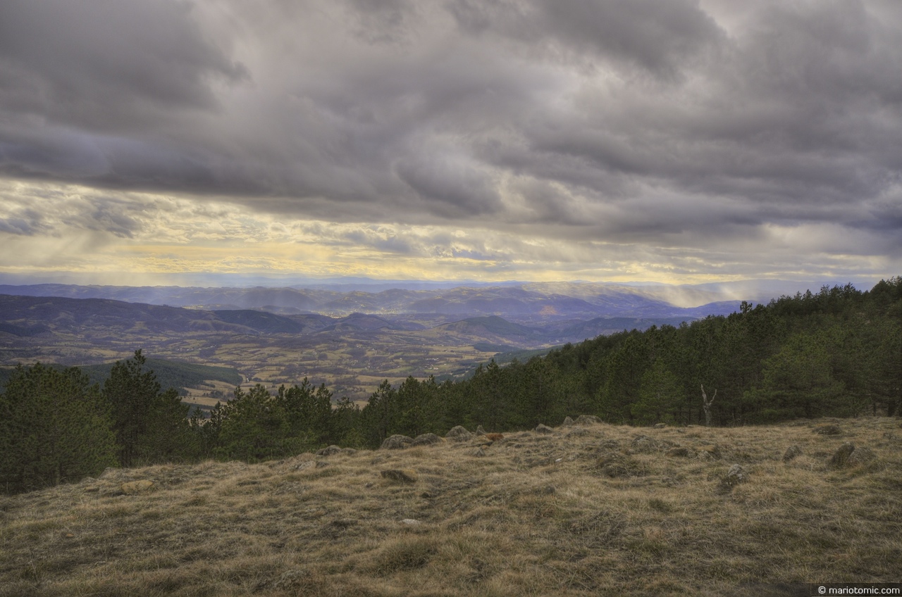
above the clouds

Paljba Divcibare
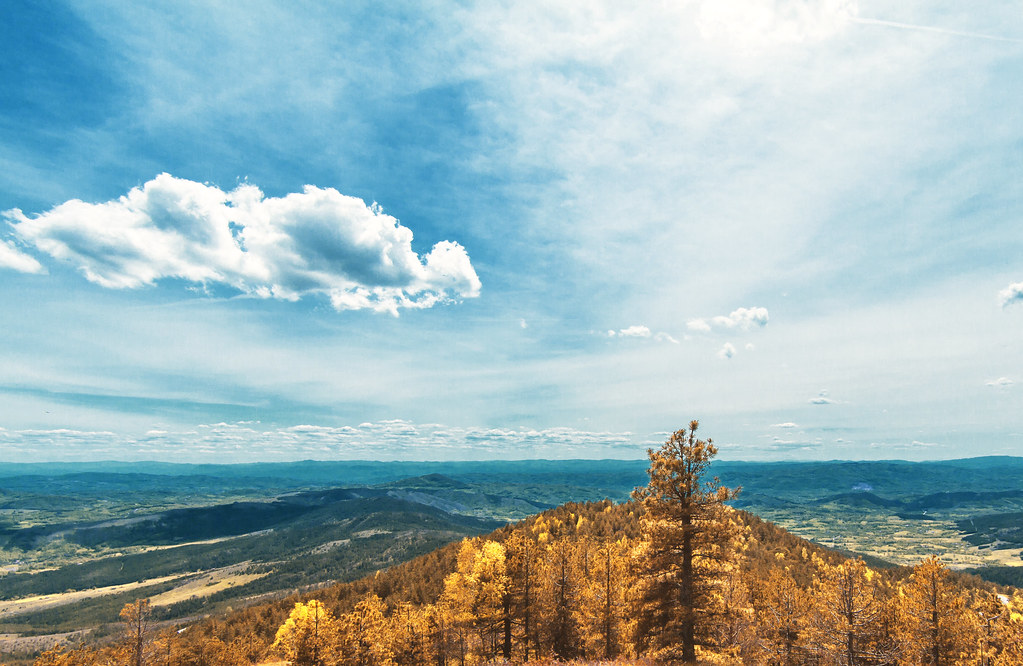
Crni Vrh Divcibare 2
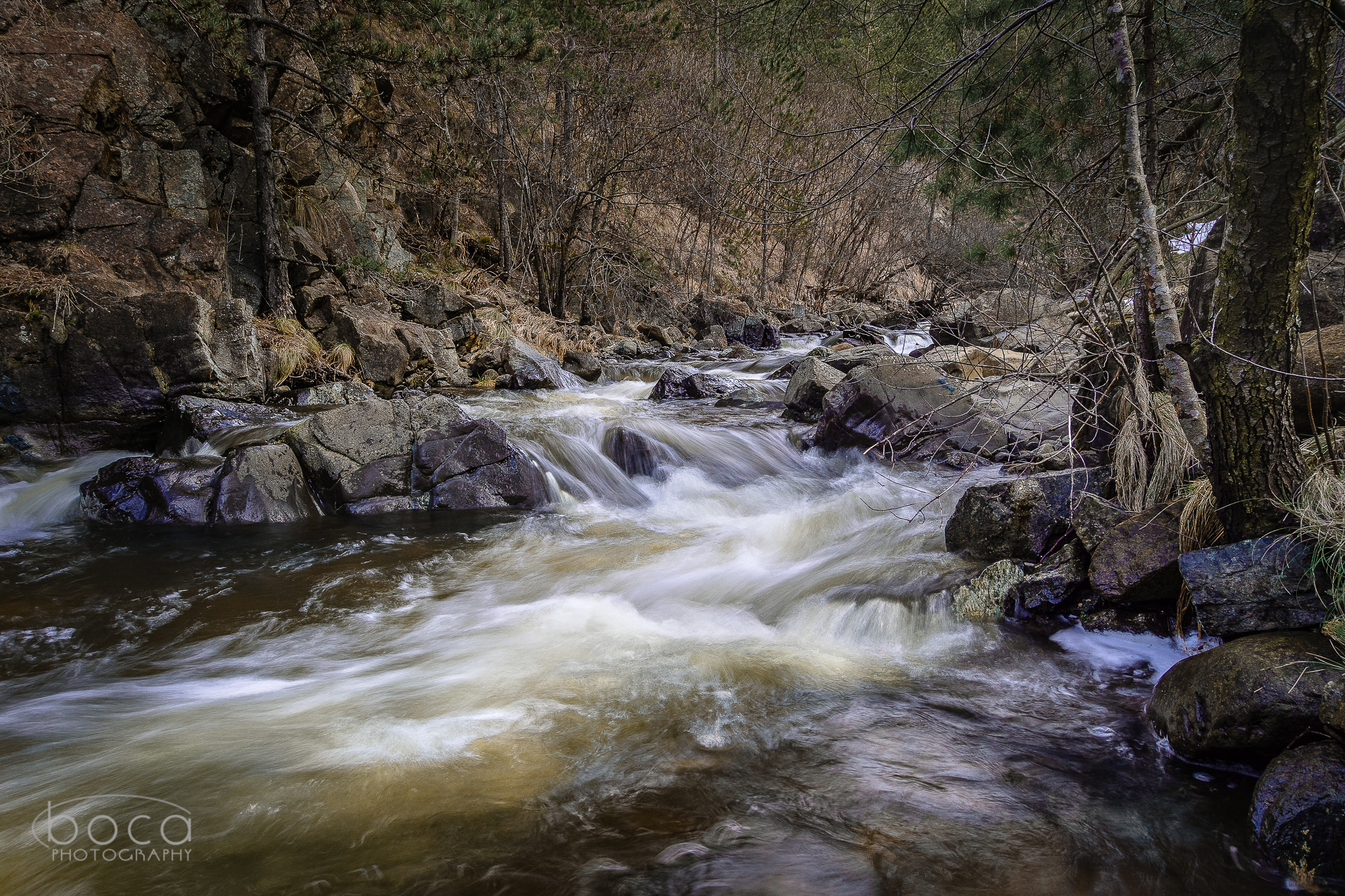
Crna reka, Valjevo

#danube #viminacium #djerdap #clouds #skyporn #road #sunset #nikon #nikond800e #landscape #serbia
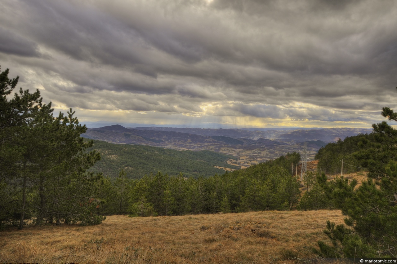
Rain in the distance (HDR)
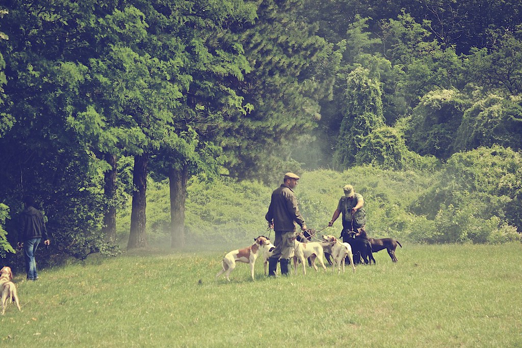
Hunting we will go
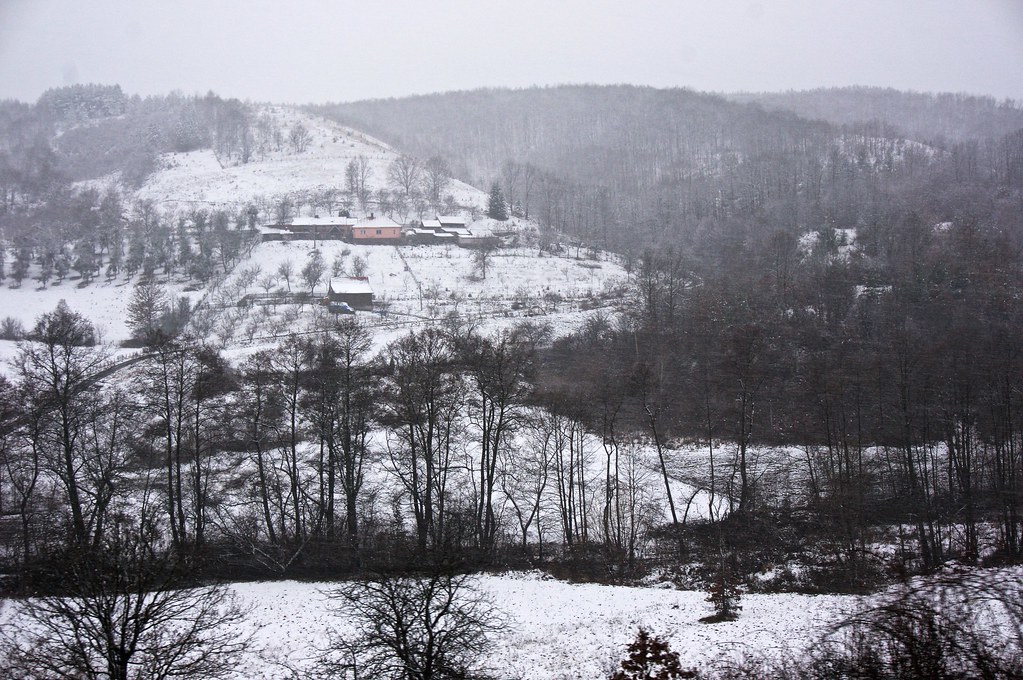
Divčibare (HDR)
2015-11-27 5811
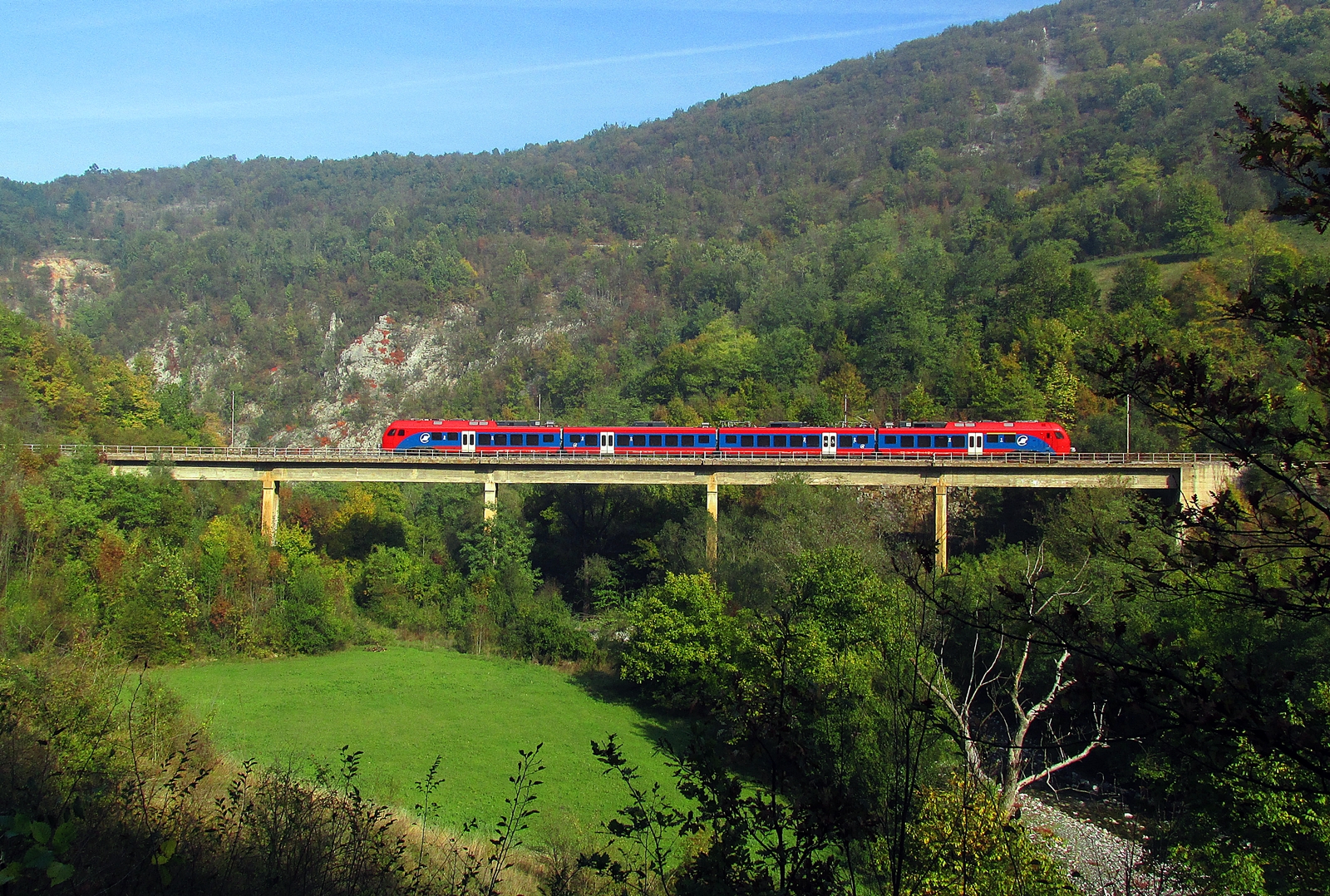
PT 2100 Vrbnica-Beograd
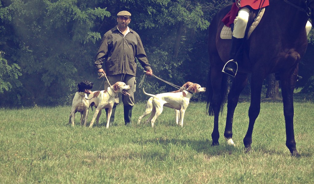
Hunting we will go
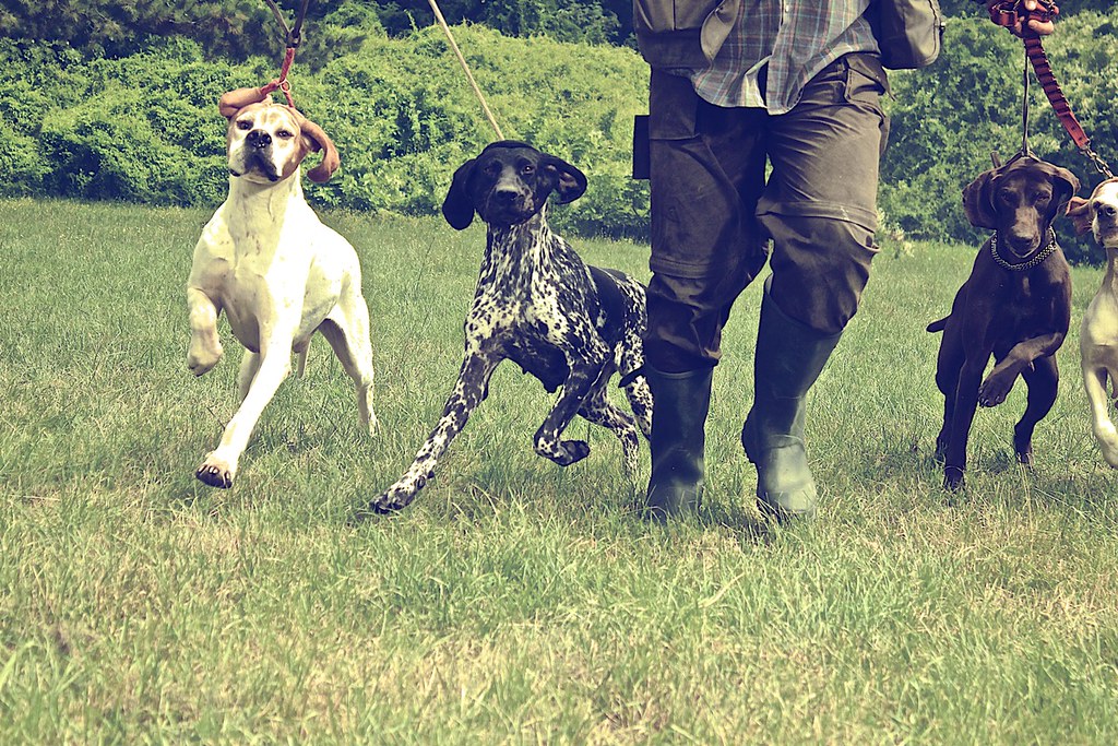
Hunting we will go
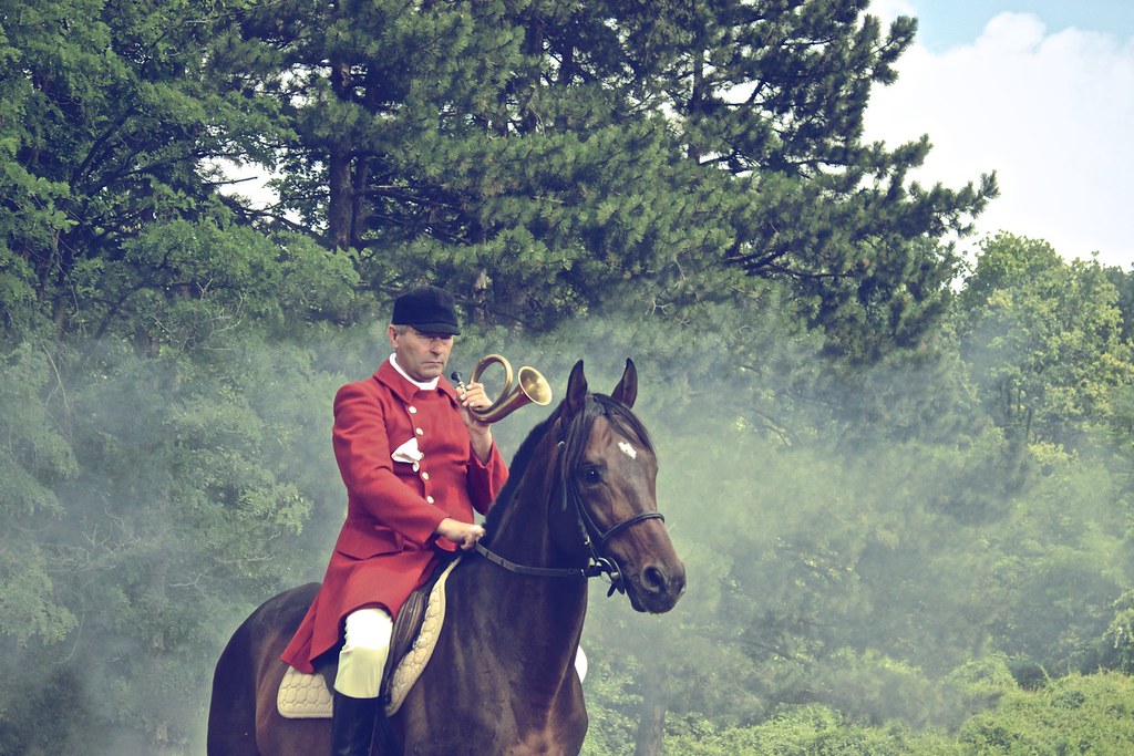
Hunting we will go

Hunting we will go
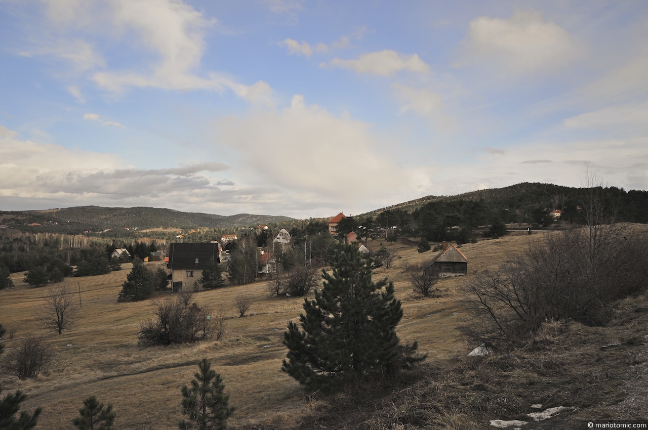
Divčibare
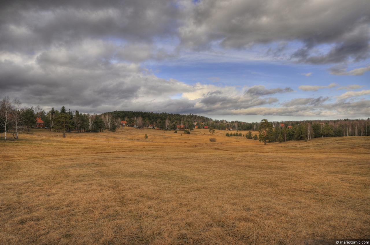
Divčibare field (HDR)
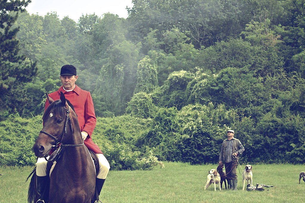
Hunting we will go
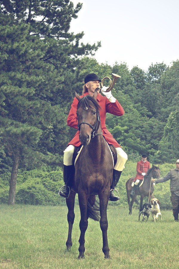
Hunting we will go
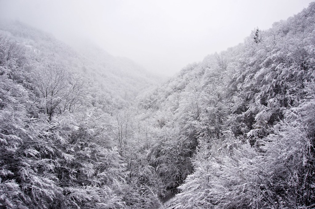
2015-11-27 5787
Topographic Map of Crni vrh, Divčibare, Serbia
Find elevation by address:

Places near Crni vrh, Divčibare, Serbia:
Divčibare
Gornje Leskovice
Magleš
Valjevo
Makovište
Kolubara District
Povlen
Užice
Debelo Brdo
Moravica District
Čačak
Varnice
Vujan Monastery
Prislonica
Rakovica
Zlatibor
Majdan
Чигота
Zlatibor District
Vukosavci
Recent Searches:
- Elevation of Dog Leg Dr, Minden, NV, USA
- Elevation of Dog Leg Dr, Minden, NV, USA
- Elevation of Kambingan Sa Pansol Atbp., Purok 7 Pansol, Candaba, Pampanga, Philippines
- Elevation of Pinewood Dr, New Bern, NC, USA
- Elevation of Mountain View, CA, USA
- Elevation of Foligno, Province of Perugia, Italy
- Elevation of Blauwestad, Netherlands
- Elevation of Bella Terra Blvd, Estero, FL, USA
- Elevation of Estates Loop, Priest River, ID, USA
- Elevation of Woodland Oak Pl, Thousand Oaks, CA, USA