Elevation of Dawson, TX, USA
Location: United States > Texas > Navarro County >
Longitude: -96.714712
Latitude: 31.8940478
Elevation: 148m / 486feet
Barometric Pressure: 100KPa
Elevation Map:
Satellite Map:
Related Photos:

These spectacular views are the best of a long journey. Somewhere in the middle of Texas.
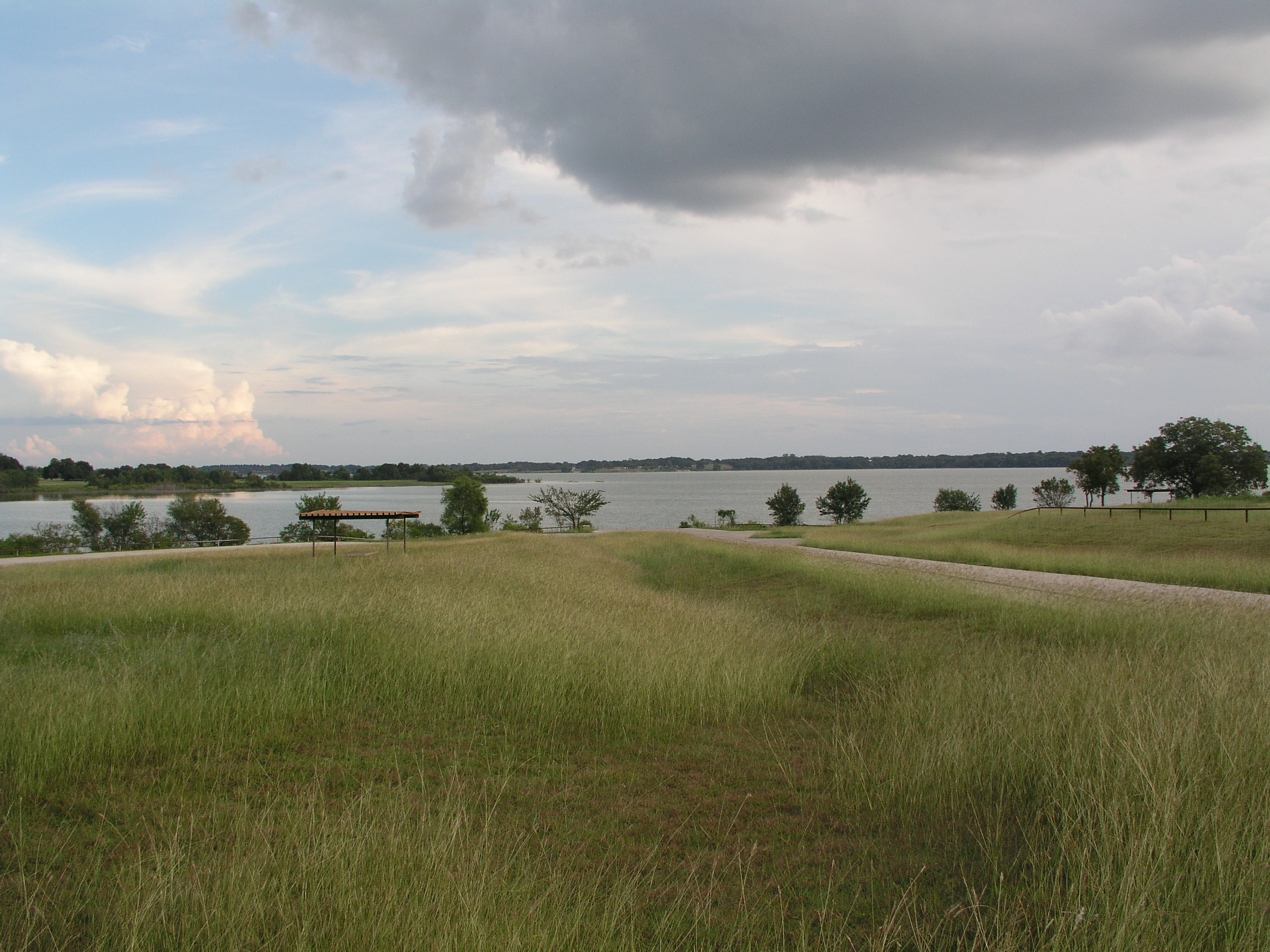
Navarro Mills Lake
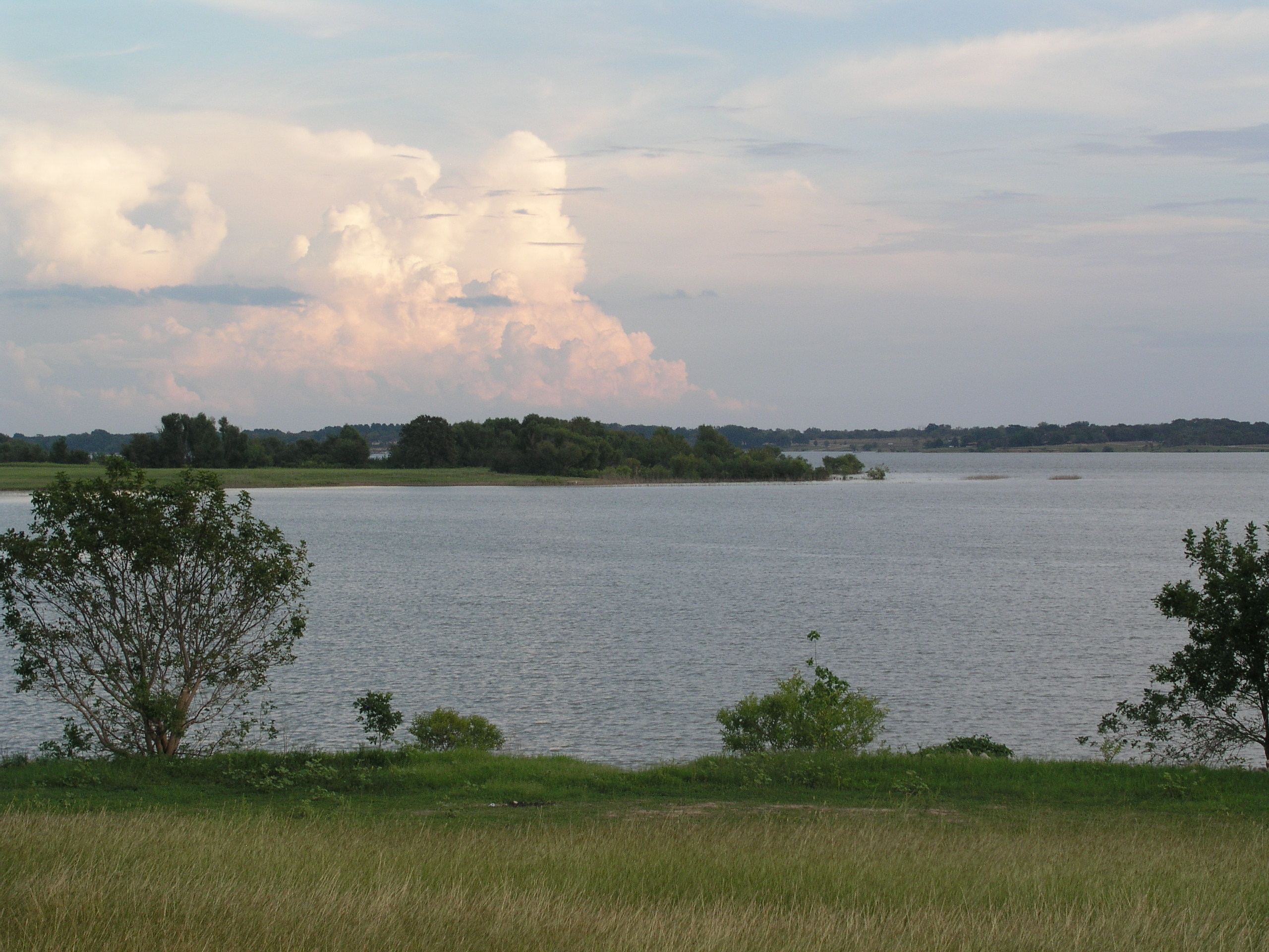
Navarro Mills Lake
Navarro Mills Lake
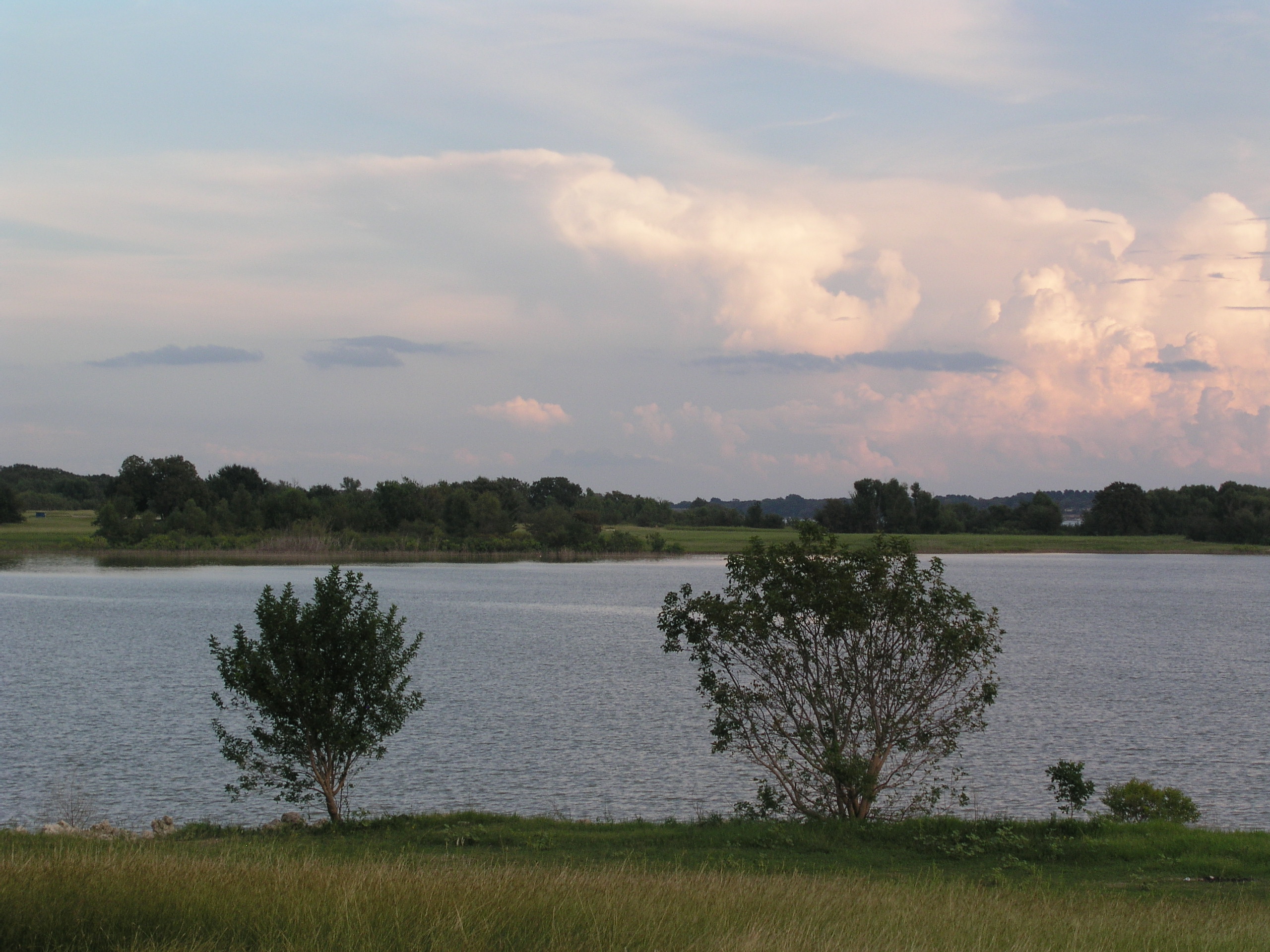
Navarro Mills Lake
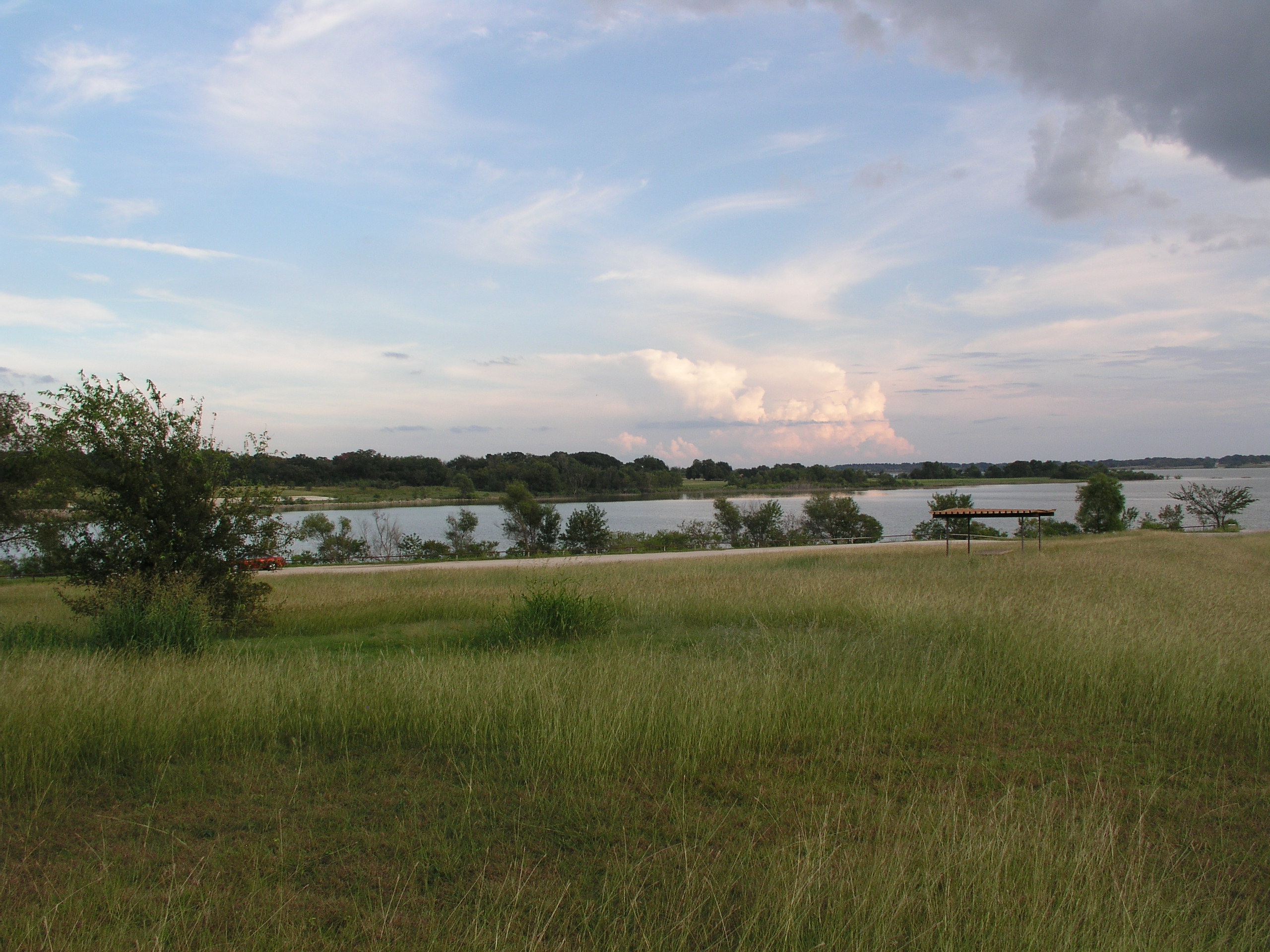
Navarro Mills Lake
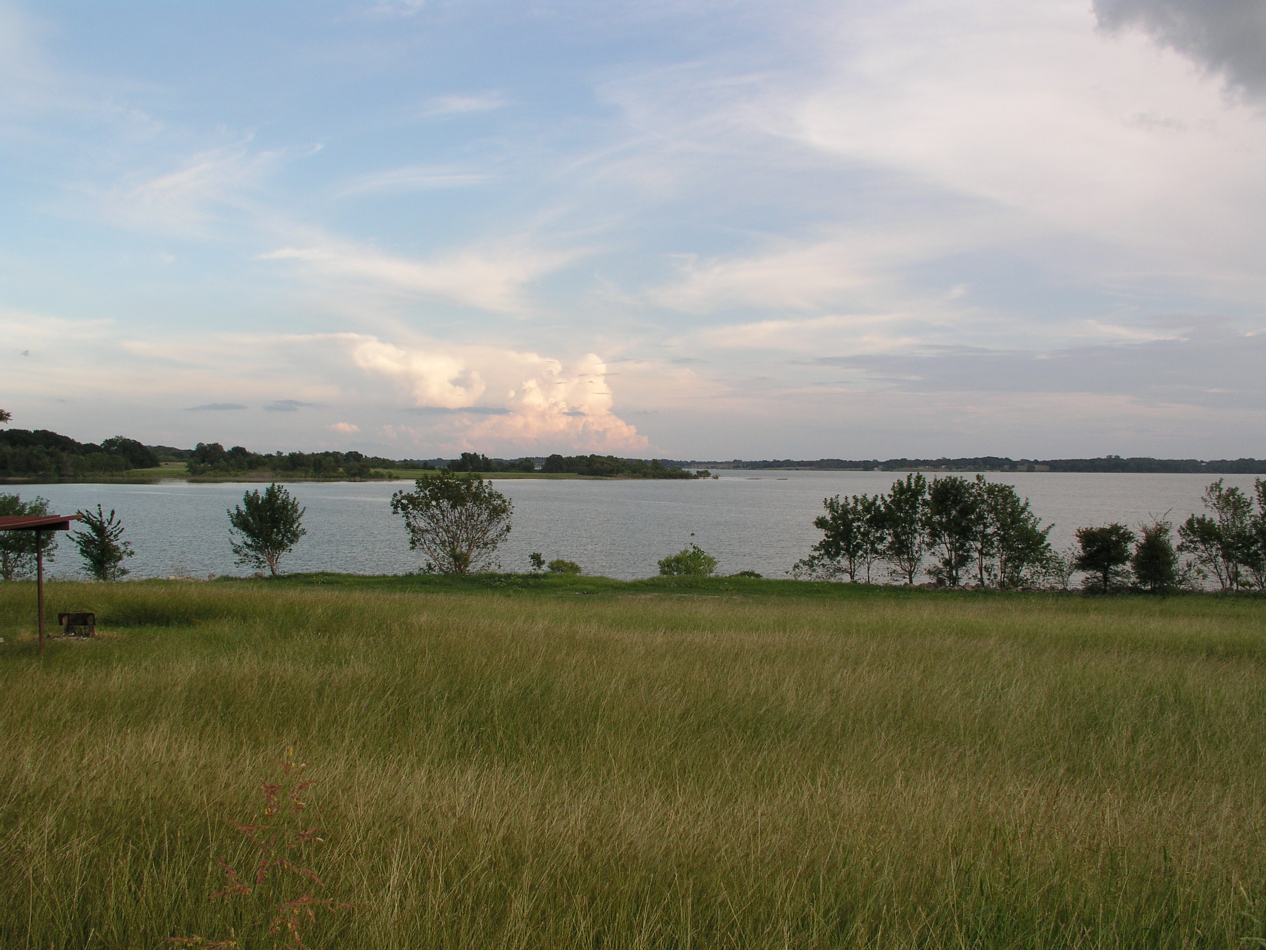
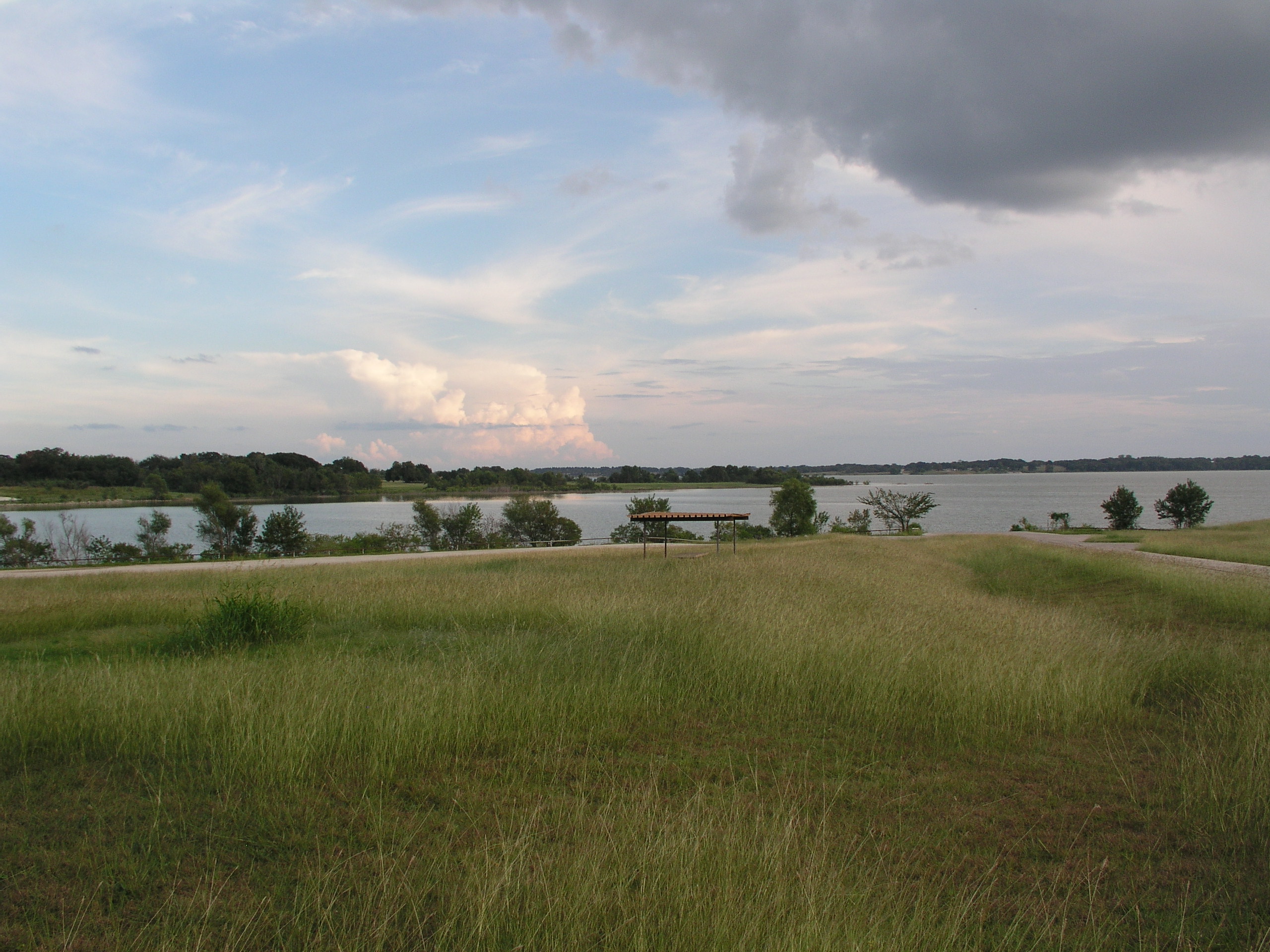
Navarro Mills Lake

Lake Navarro Mills 1.jpg

Navarro County Road
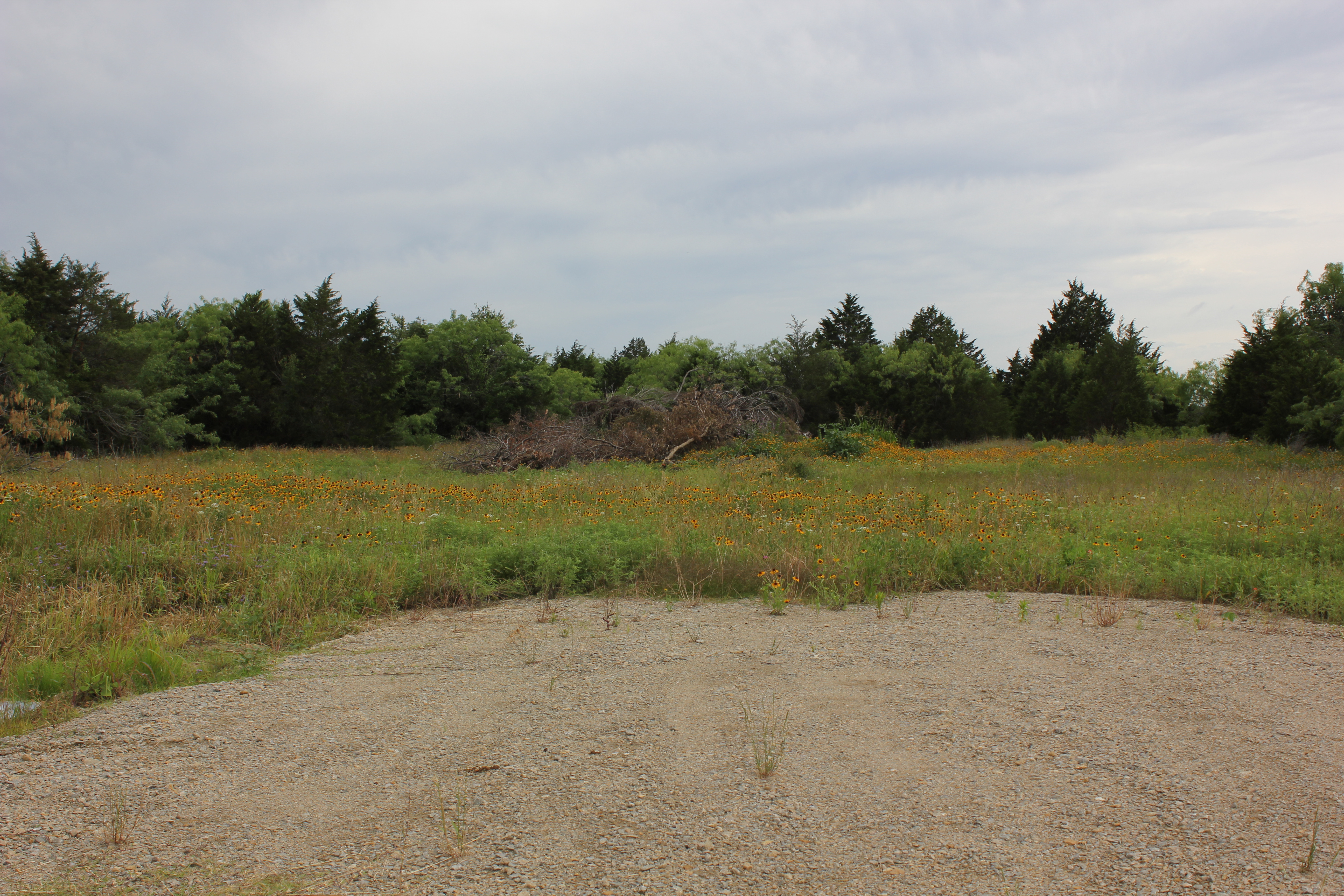
Navarro County
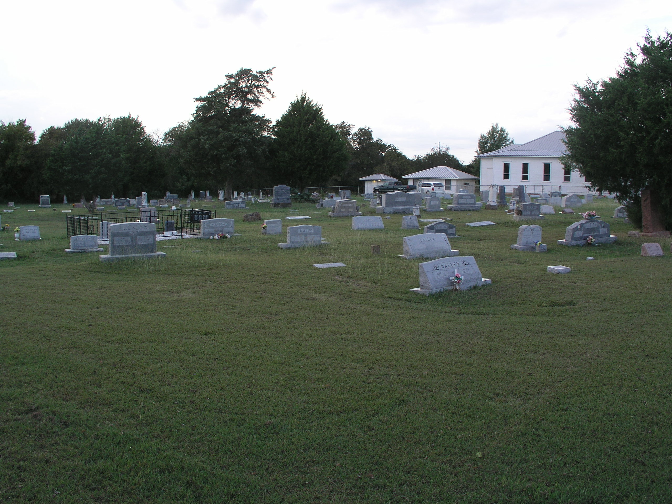
Prairie Grove Cemetery and Church
Topographic Map of Dawson, TX, USA
Find elevation by address:

Places in Dawson, TX, USA:
Places near Dawson, TX, USA:
N 1st St, Dawson, TX, USA
313 Fm 1838
16188 Tx-31
N Magnolia Ave, Hubbard, TX, USA
Hubbard
NW County Rd, Frost, TX, USA
S Kerr St, Barry, TX, USA
Coolidge
S Third St, Mertens, TX, USA
Blooming Grove
Frost
Allyn Ave, Mt Calm, TX, USA
Mount Calm
Penelope
FM 73, Prairie Hill, TX, USA
100 Wright St
Barry
10896 Fm 55
FM 55, Italy, TX, USA
2nd Ave, Mt Calm, TX, USA
Recent Searches:
- Elevation of Village Ln, Finleyville, PA, USA
- Elevation of 24 Oakland Rd #, Scotland, ON N0E 1R0, Canada
- Elevation of Deep Gap Farm Rd E, Mill Spring, NC, USA
- Elevation of Dog Leg Dr, Minden, NV, USA
- Elevation of Dog Leg Dr, Minden, NV, USA
- Elevation of Kambingan Sa Pansol Atbp., Purok 7 Pansol, Candaba, Pampanga, Philippines
- Elevation of Pinewood Dr, New Bern, NC, USA
- Elevation of Mountain View, CA, USA
- Elevation of Foligno, Province of Perugia, Italy
- Elevation of Blauwestad, Netherlands