Elevation of FM, Dawson, TX, USA
Location: United States > Texas > Navarro County > Dawson >
Longitude: -96.704661
Latitude: 31.8660639
Elevation: 153m / 502feet
Barometric Pressure: 99KPa
Elevation Map:
Satellite Map:
Related Photos:
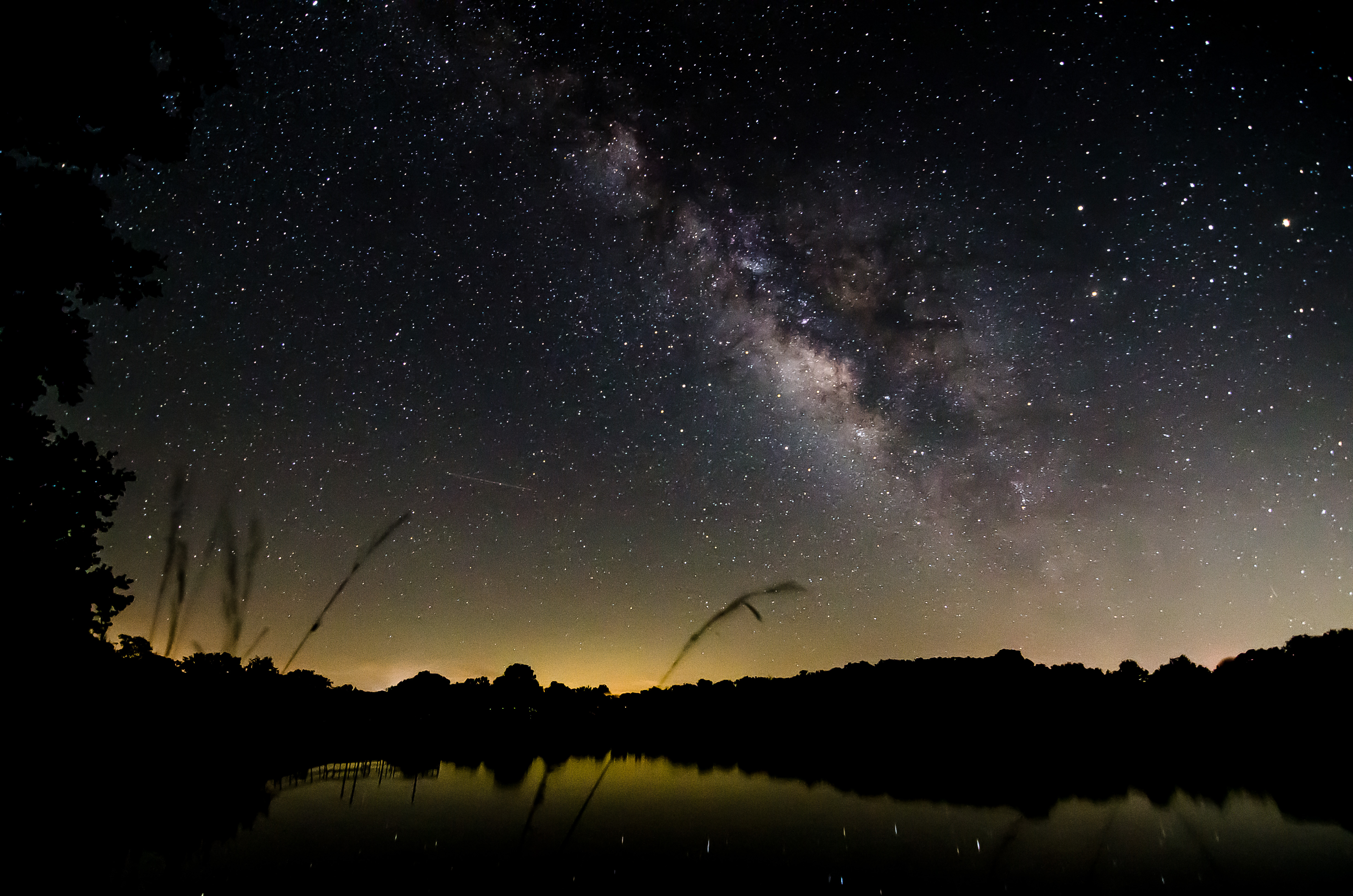
Milky Way over Lake
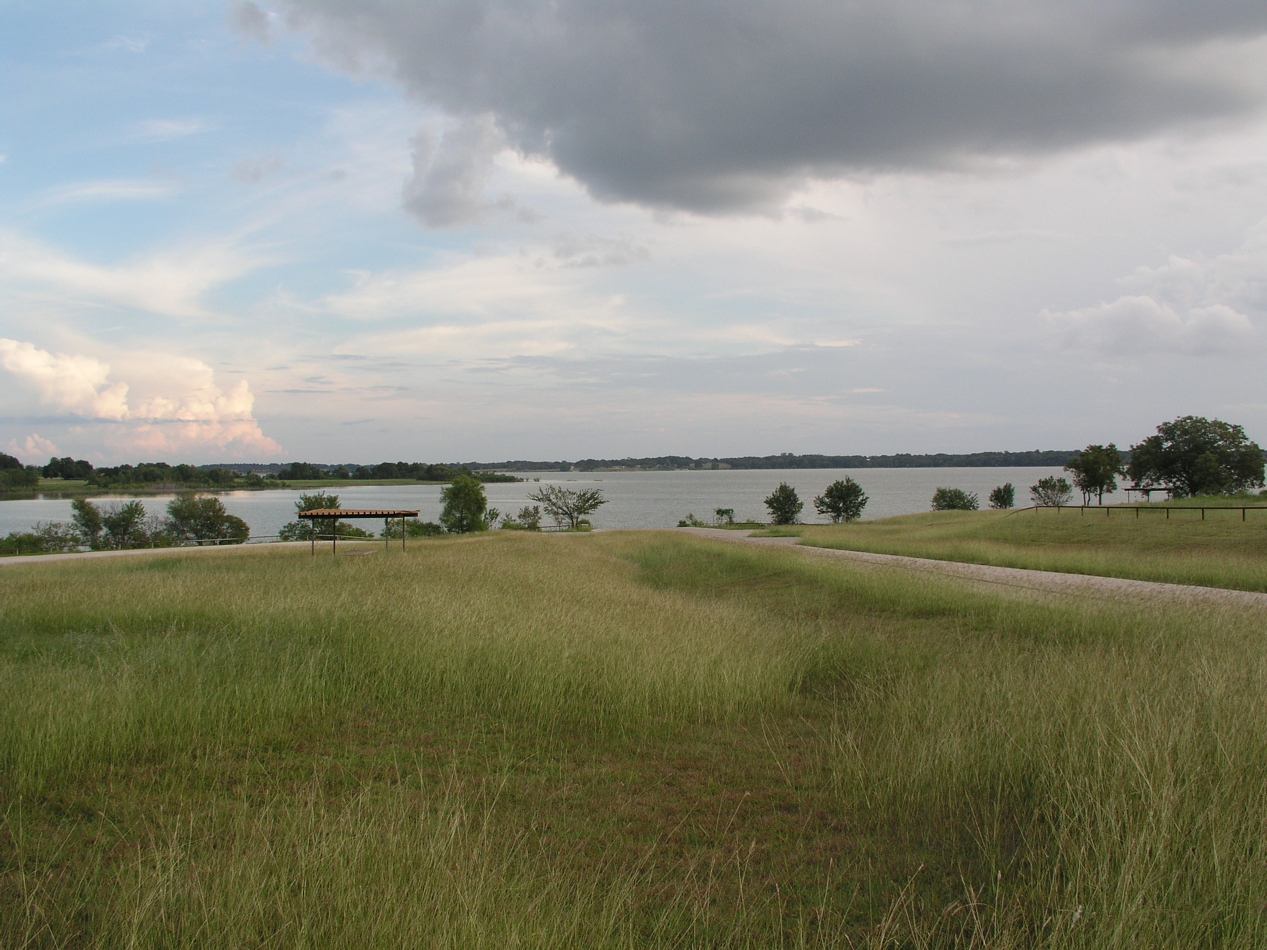
Navarro Mills Lake
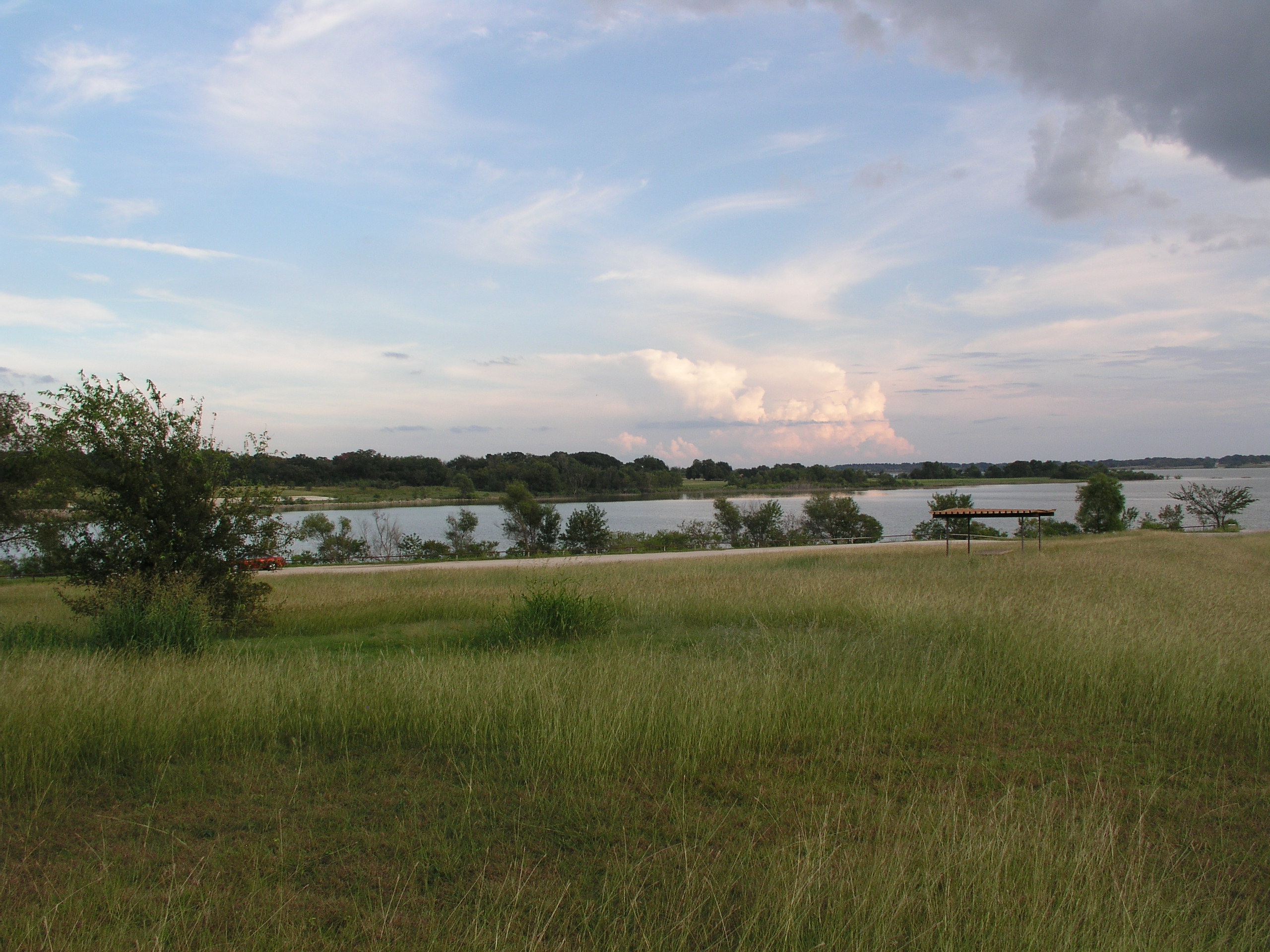
Navarro Mills Lake
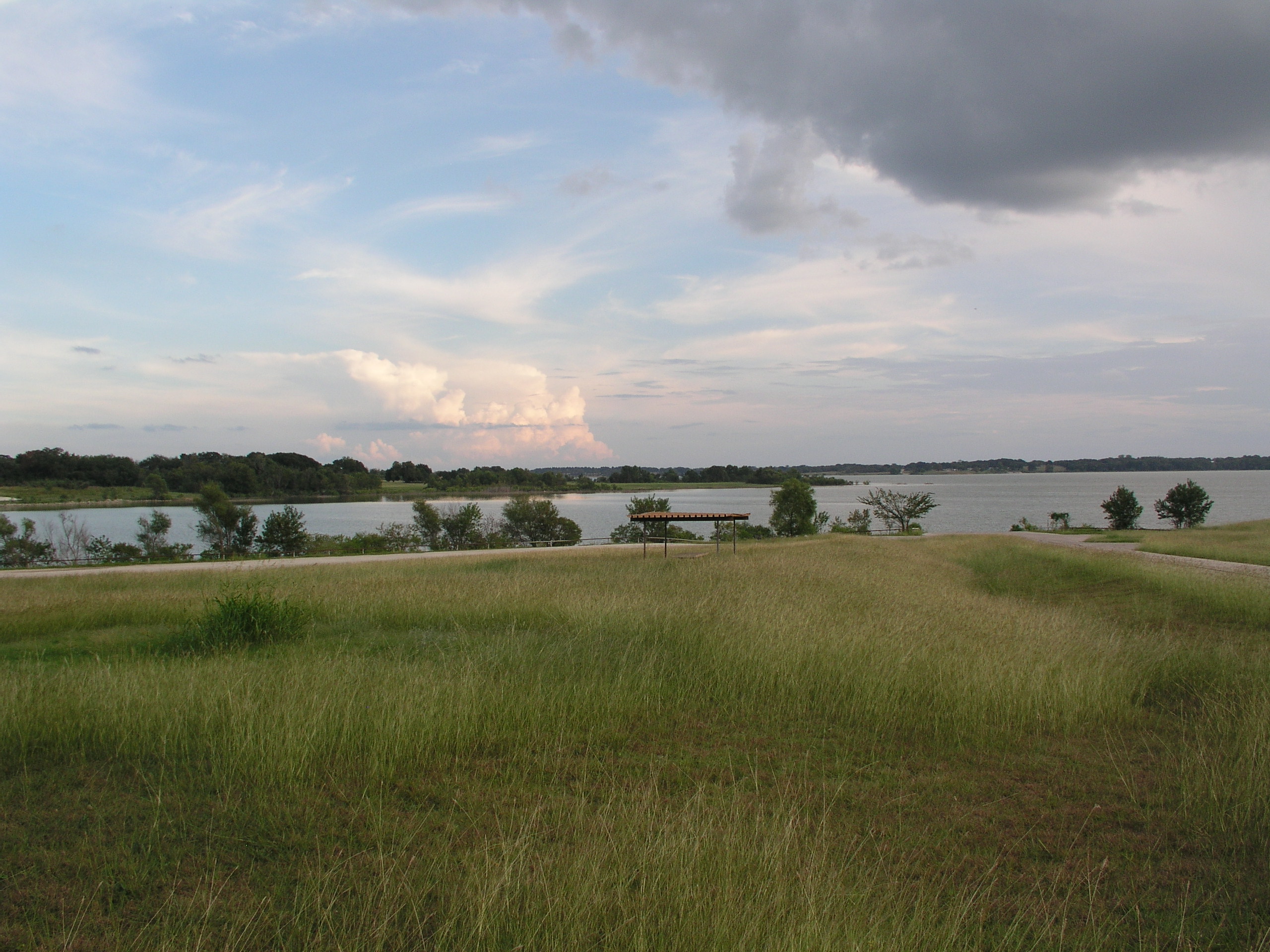
Navarro Mills Lake
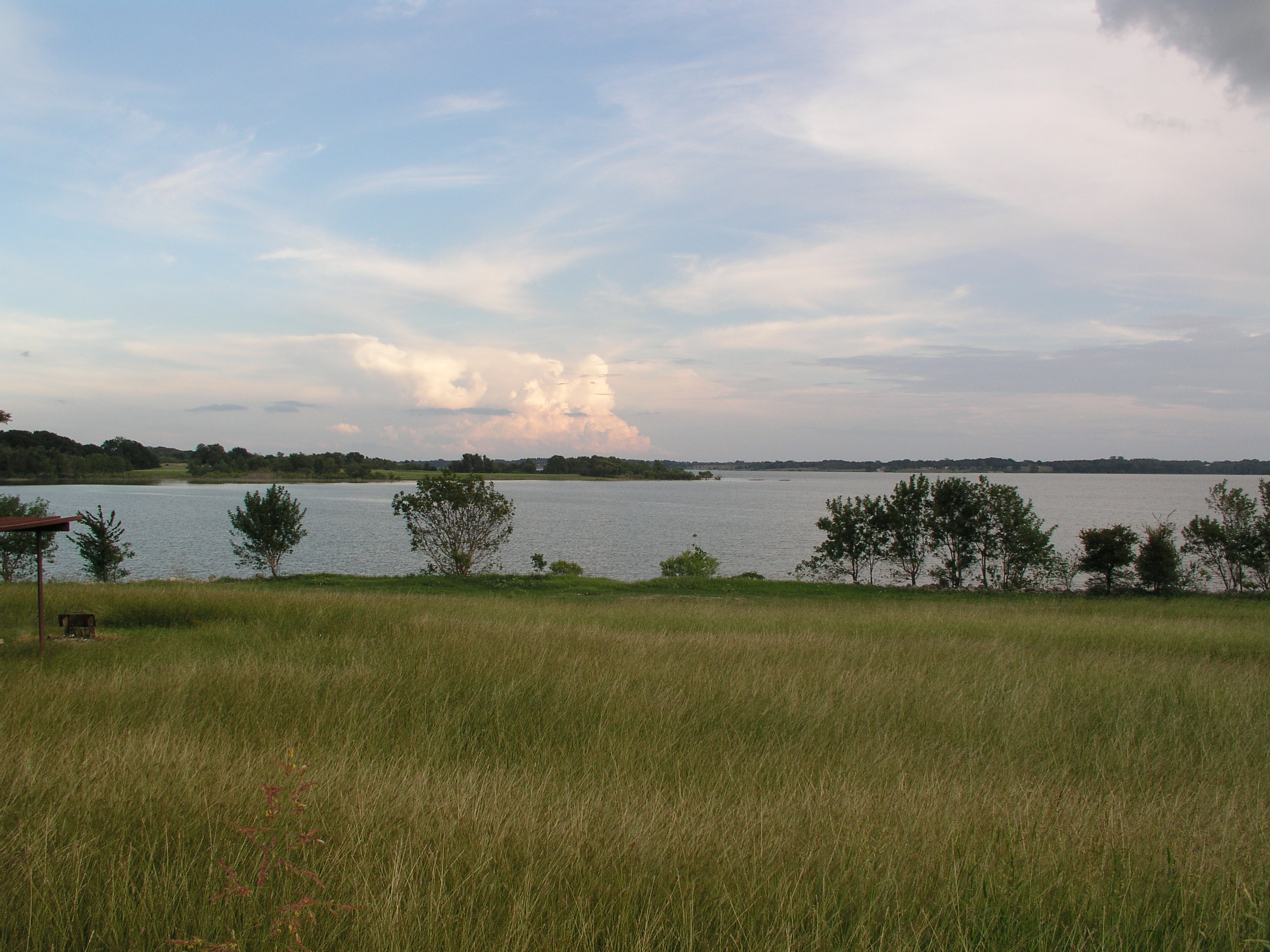
Navarro Mills Lake

Lake Navarro Mills 1.jpg

Navarro County Road
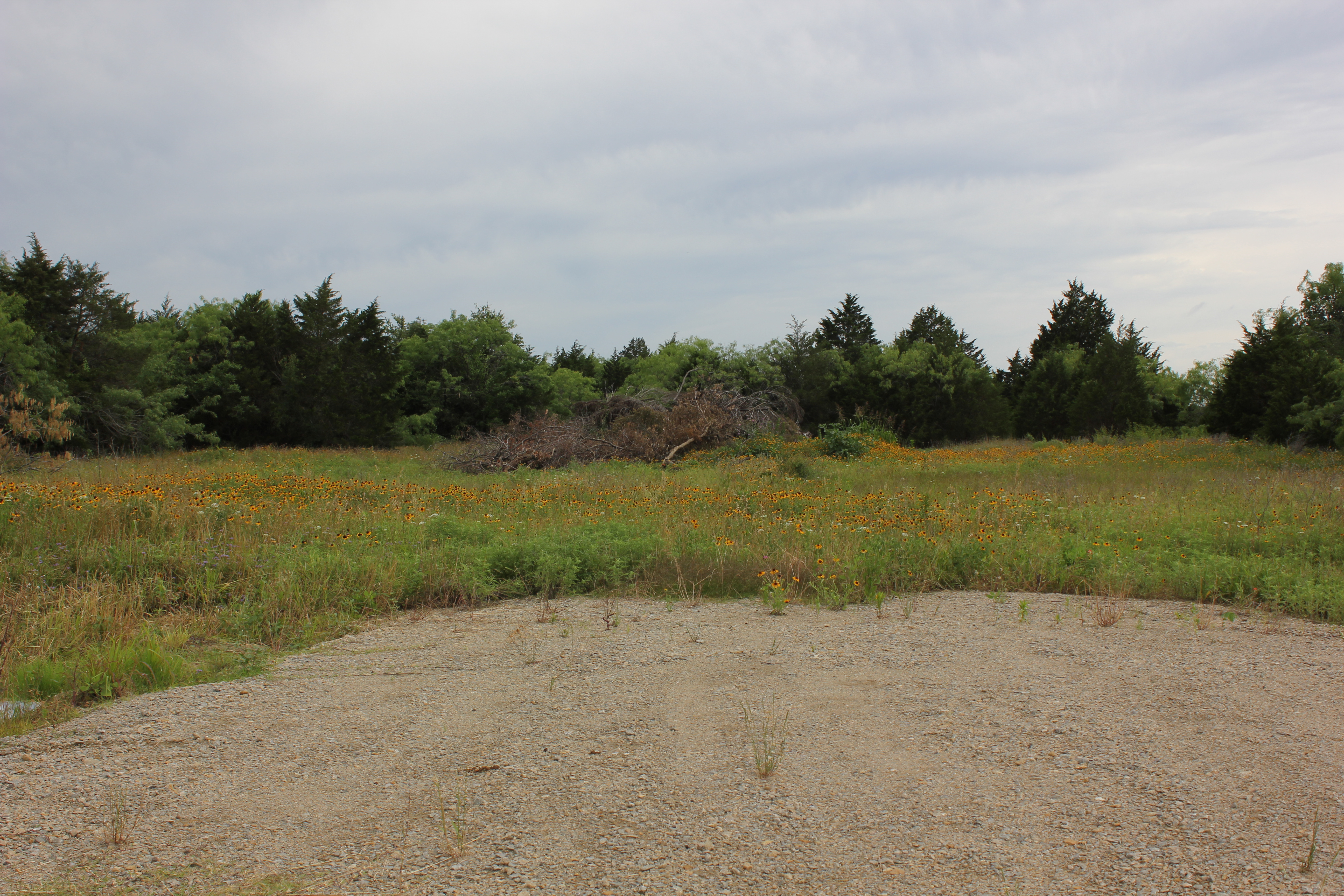
Navarro County
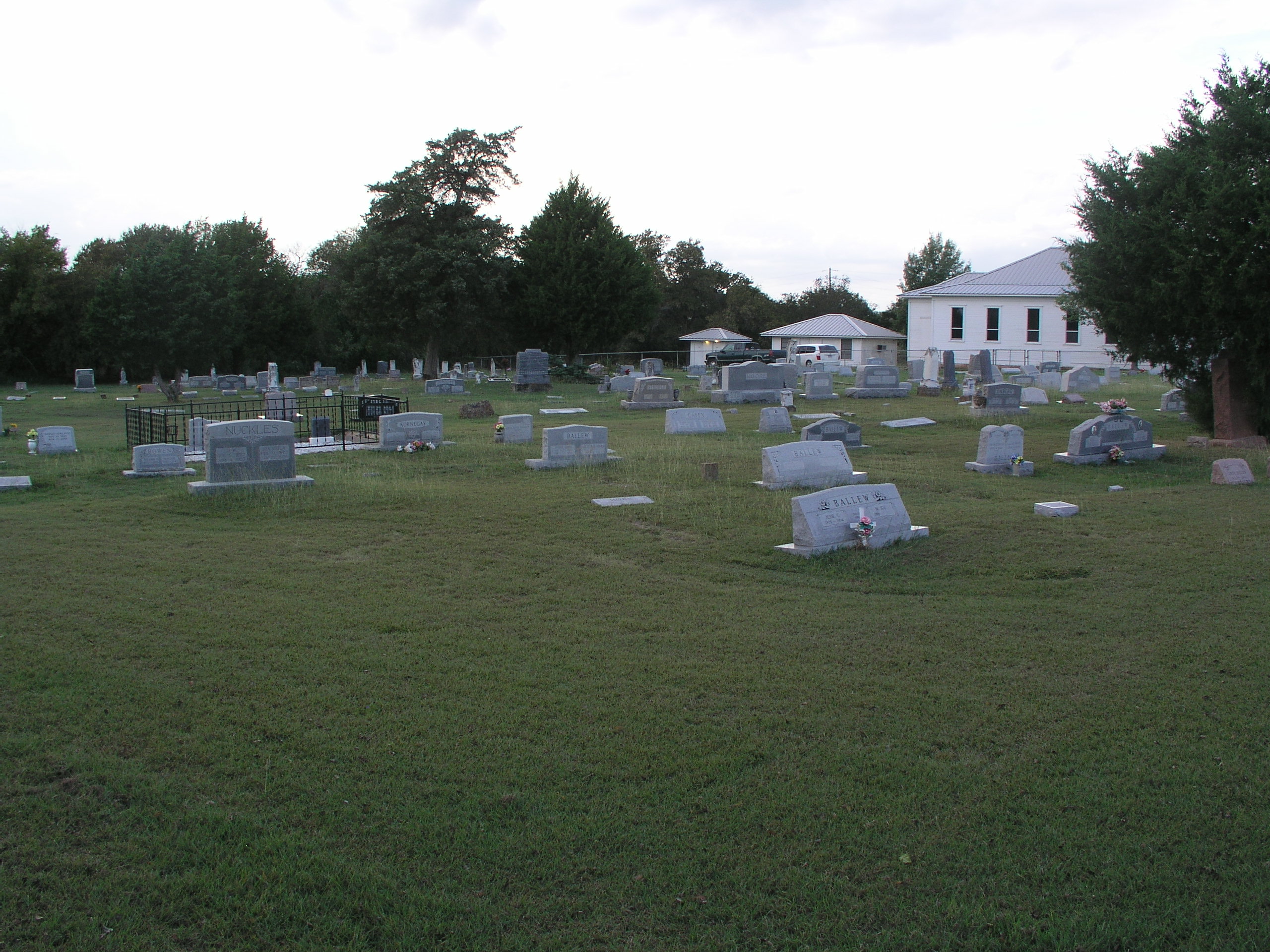
Prairie Grove Cemetery and Church
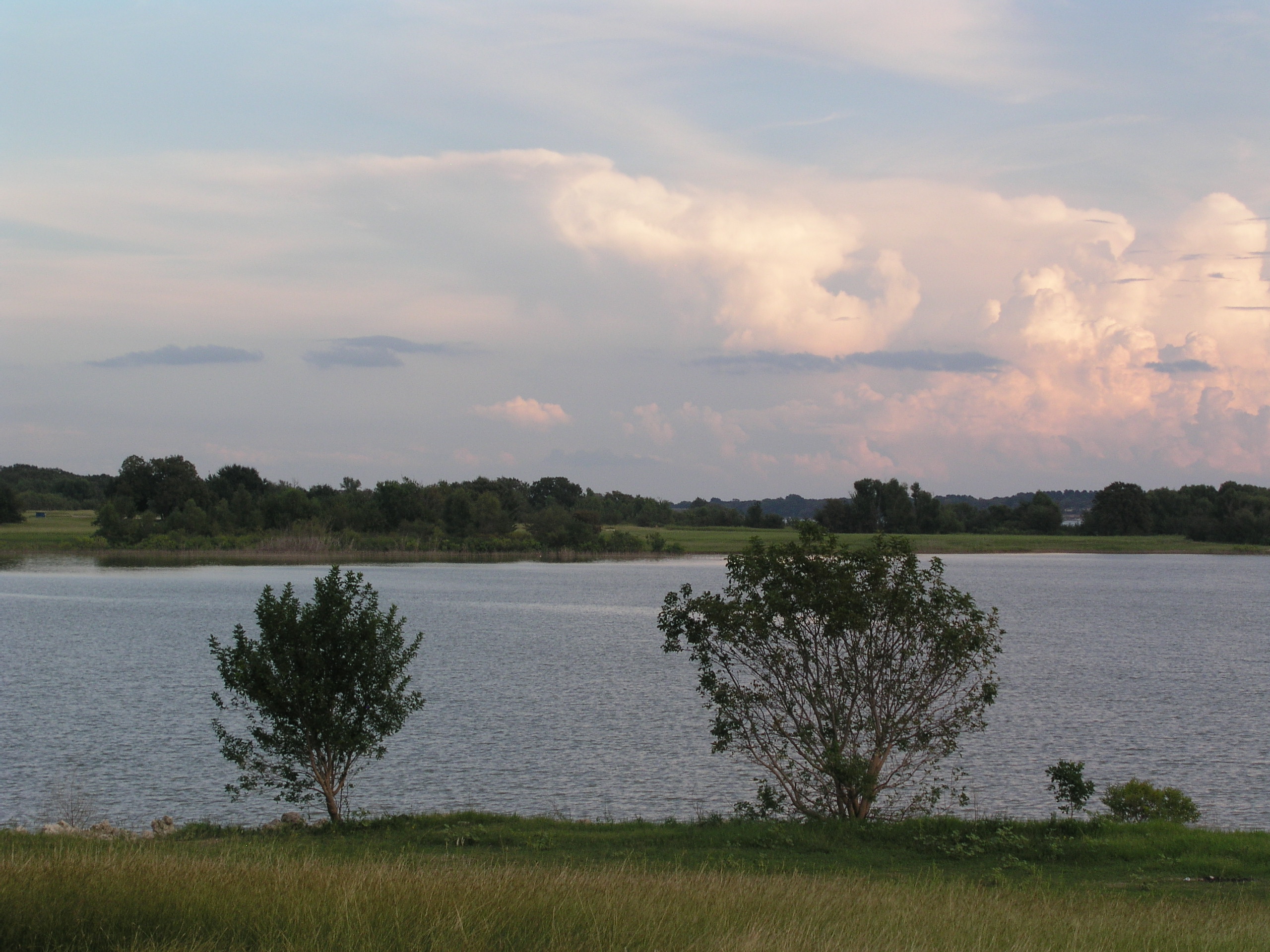
Navarro Mills Lake
Topographic Map of FM, Dawson, TX, USA
Find elevation by address:

Places near FM, Dawson, TX, USA:
Dawson
N 1st St, Dawson, TX, USA
16188 Tx-31
N Magnolia Ave, Hubbard, TX, USA
Hubbard
Coolidge
NW County Rd, Frost, TX, USA
S Kerr St, Barry, TX, USA
FM 73, Prairie Hill, TX, USA
Allyn Ave, Mt Calm, TX, USA
Mount Calm
S Third St, Mertens, TX, USA
Penelope
Blooming Grove
Frost
100 Wright St
Barry
Wortham
2nd Ave, Mt Calm, TX, USA
10896 Fm 55
Recent Searches:
- Elevation of Hobbyhorse Ct, Dover, DE, USA
- Elevation of Horseshoe Ln, Dahlonega, GA, USA
- Elevation of Village Point Dr, Daphne, AL, USA
- Elevation map of Kabardino-Balkarian Republic, Russia
- Elevation of Tyrnyauz, Kabardino-Balkarian Republic, Russia
- Elevation of Sunset Dr, Hernando, MS, USA
- Elevation of Lake Rotoroa, Tasman, New Zealand
- Elevation of George St, New Bern, NC, USA
- Elevation of Cove Rd, Jasper, GA, USA
- Elevation of Cove Rd, Jasper, GA, USA