Elevation of N Magnolia Ave, Hubbard, TX, USA
Location: United States > Texas > Hill County >
Longitude: -96.796859
Latitude: 31.848346
Elevation: 197m / 646feet
Barometric Pressure: 99KPa
Elevation Map:
Satellite Map:
Related Photos:
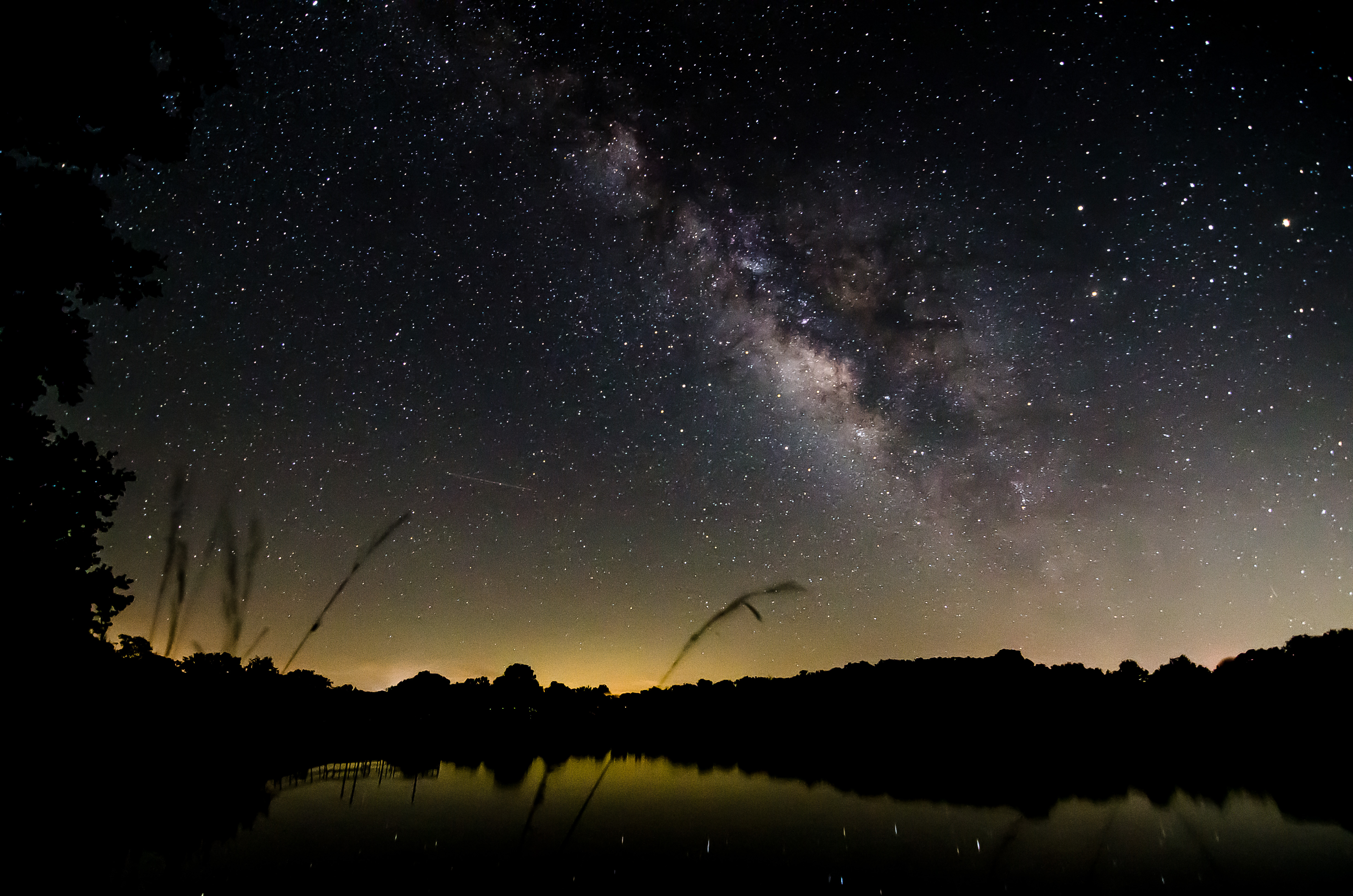
Milky Way over Lake
Penelope-22

These spectacular views are the best of a long journey. Somewhere in the middle of Texas.
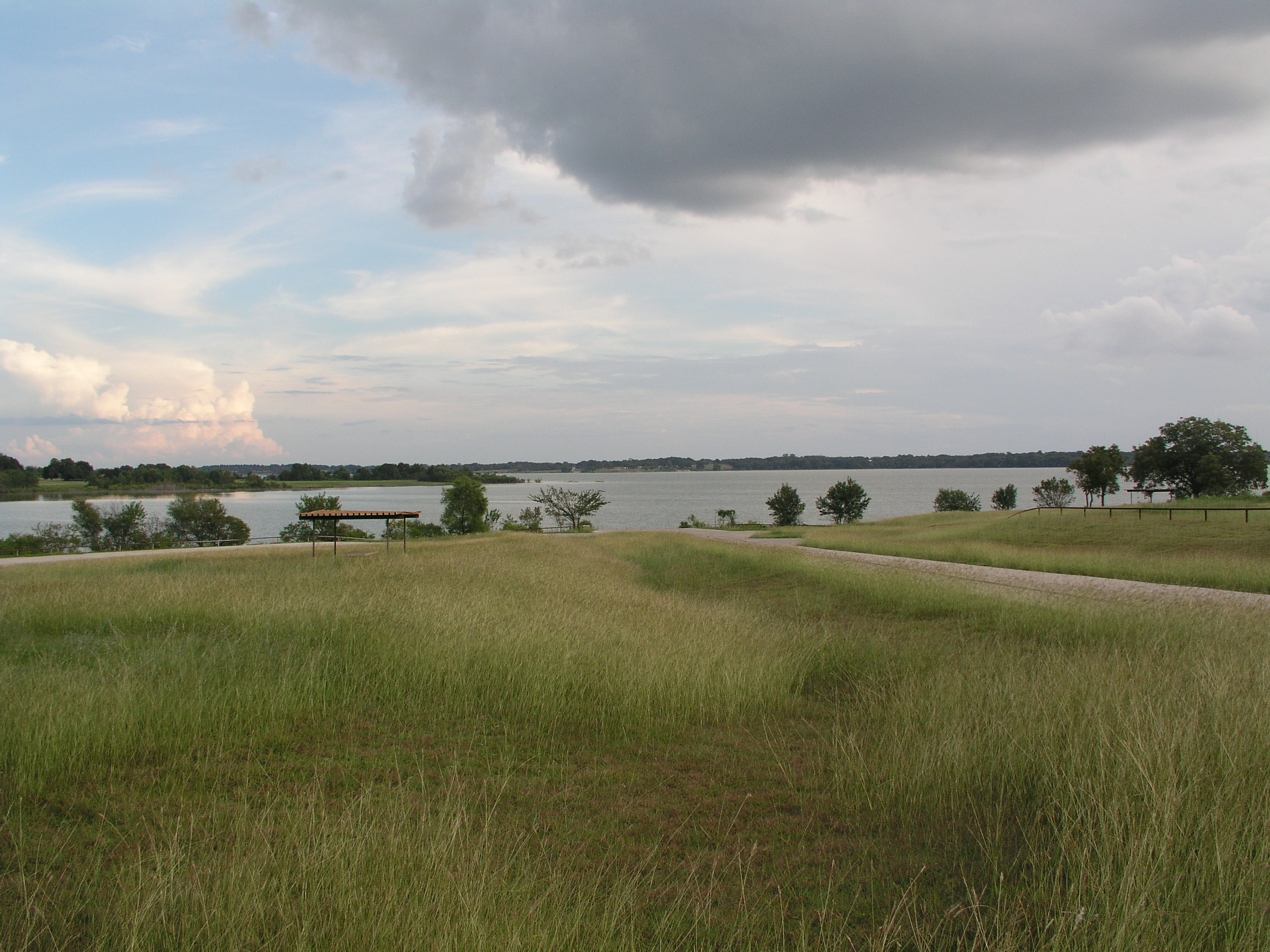
Navarro Mills Lake
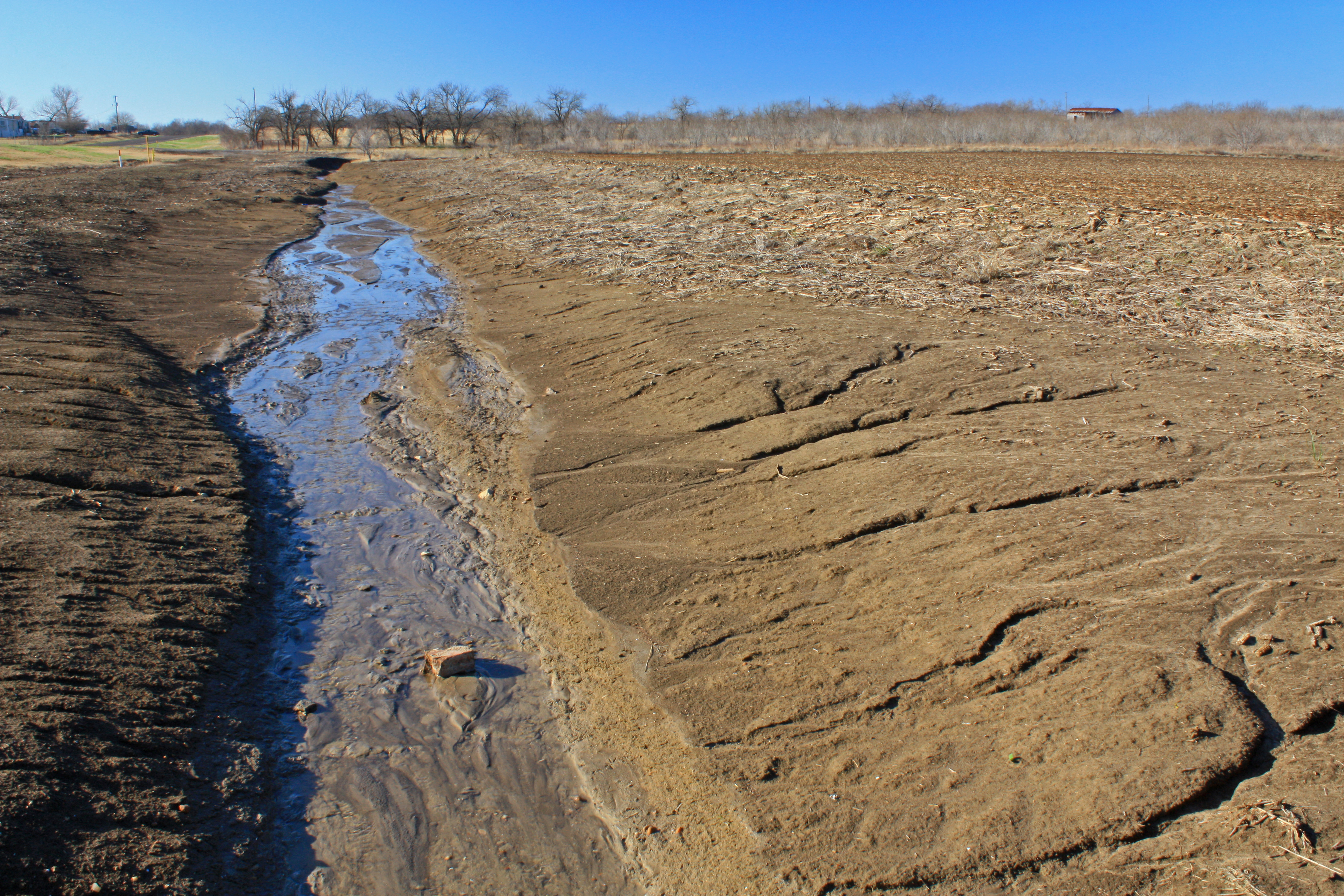
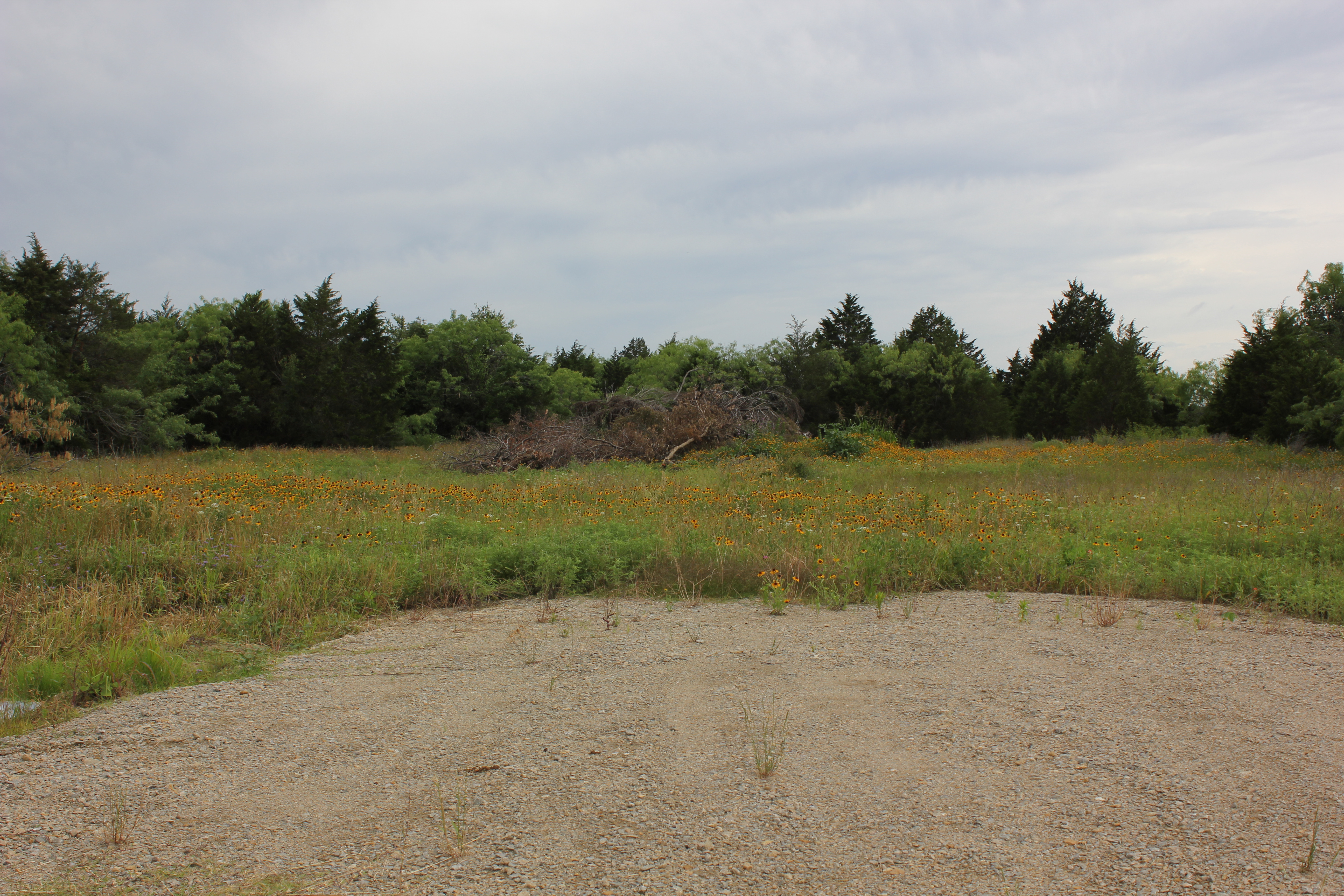
unnamed tributary to White Rock Creek, west of Highway F.M. 308, south of Irene, Hill County, Texas 2
Navarro Mills Lake

Bluebonnets 2006 (crw_6176)
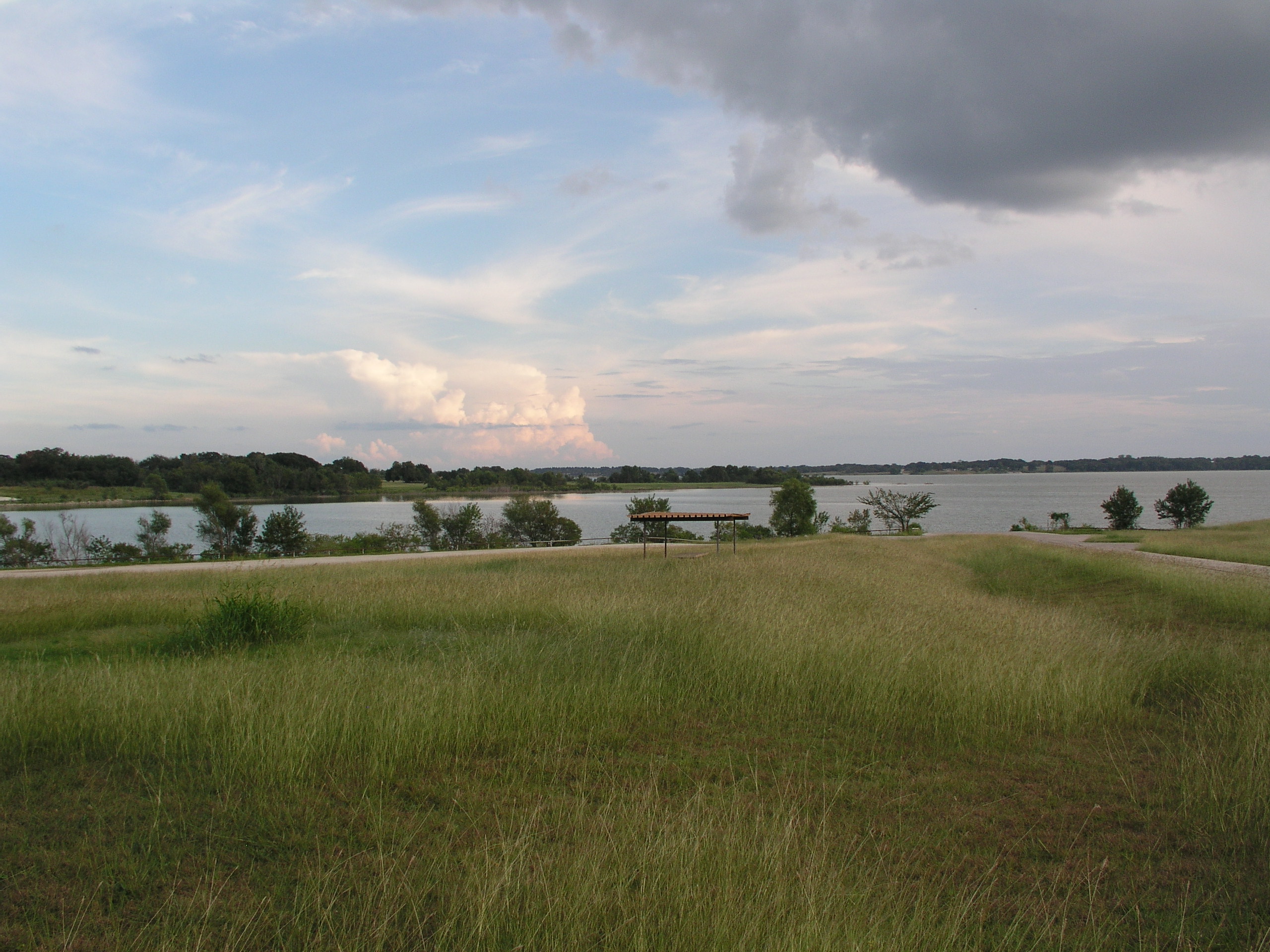
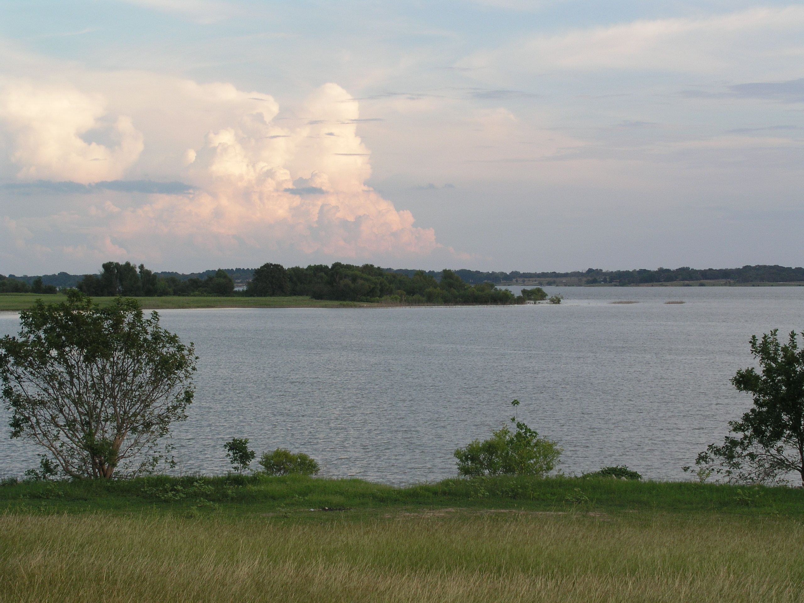
Navarro Mills Lake
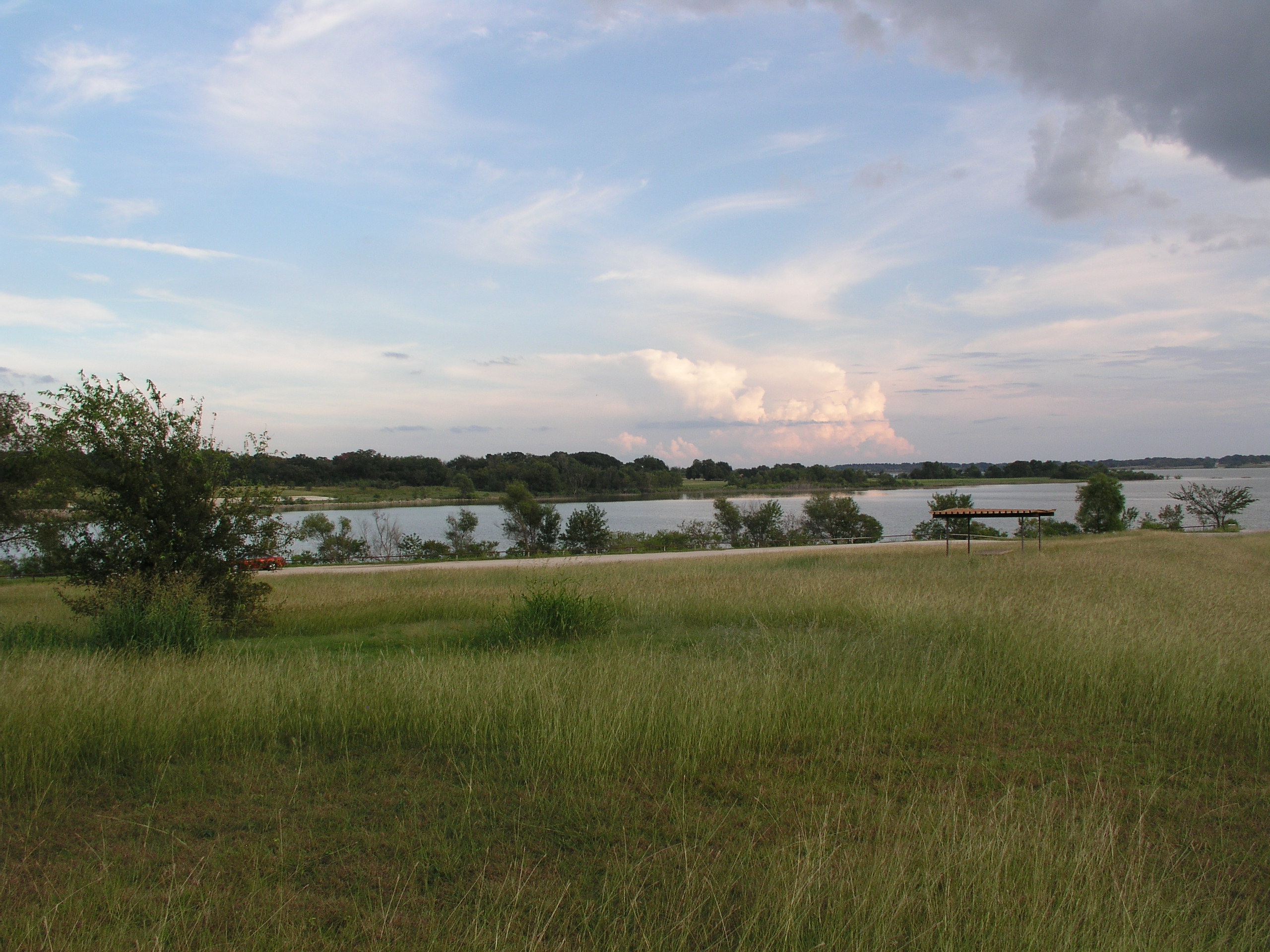
Navarro Mills Lake
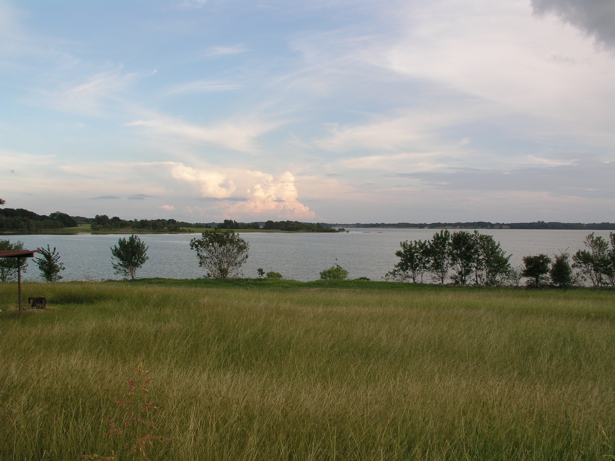
Navarro Mills Lake

Lake Navarro Mills 1.jpg

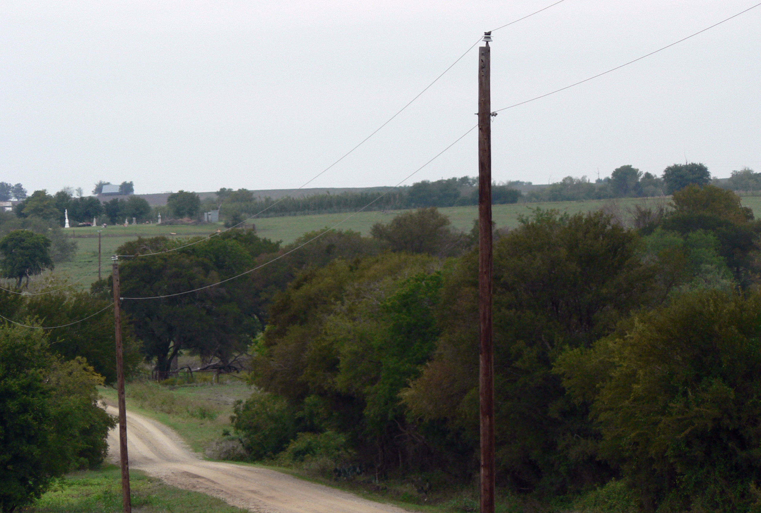
Navarro County Road
Navarro County
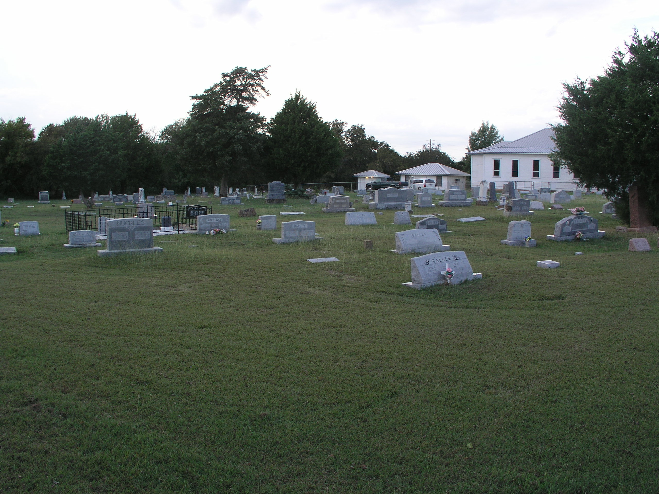
Prairie Grove Cemetery and Church
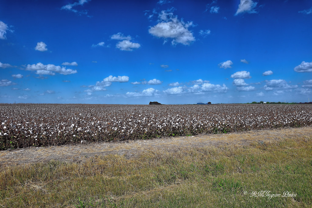
'In Them Old Cotton Fields Back Home'

A Path Along The Sunset
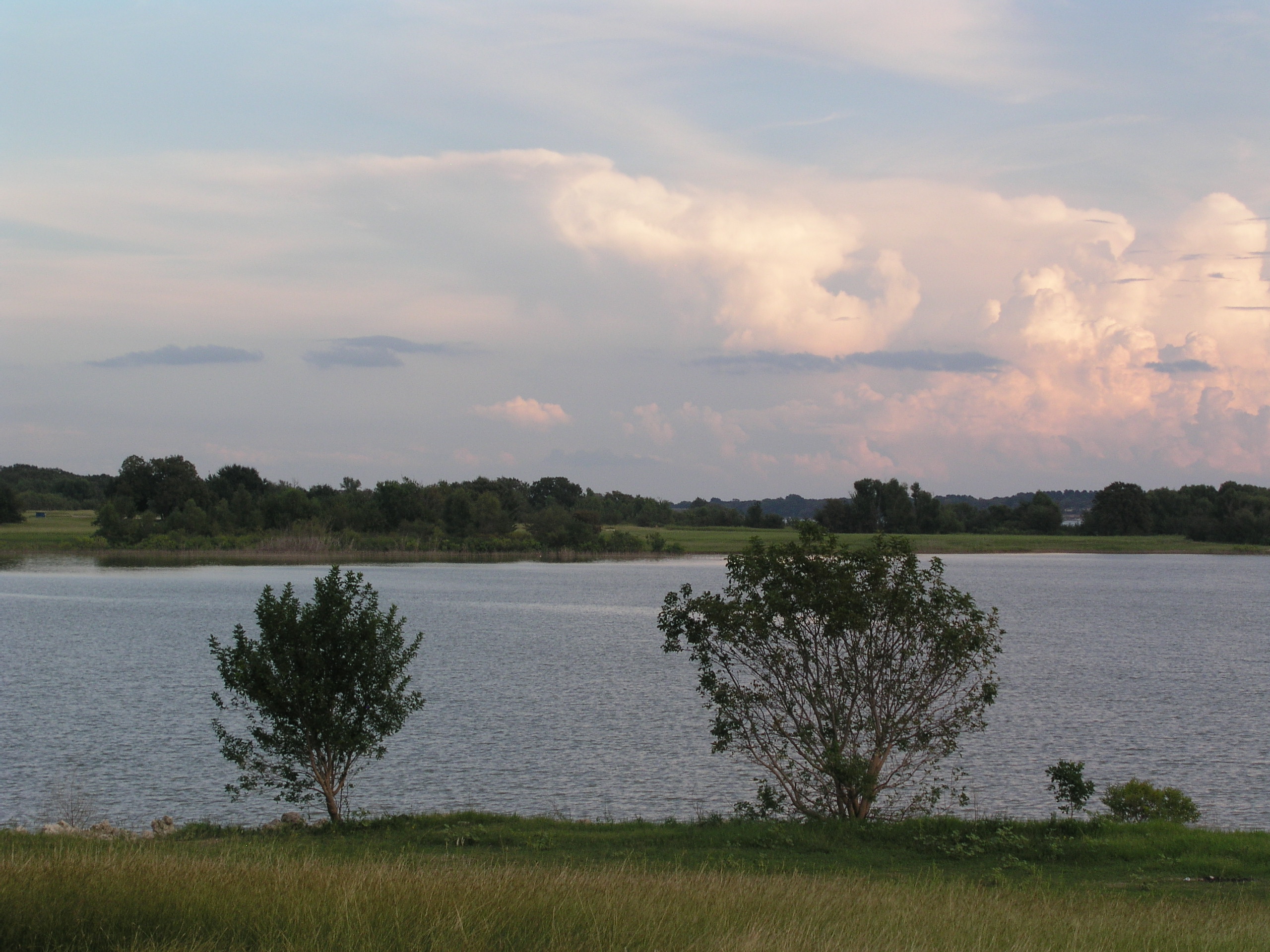
Navarro Mills Lake
Topographic Map of N Magnolia Ave, Hubbard, TX, USA
Find elevation by address:

Places near N Magnolia Ave, Hubbard, TX, USA:
Hubbard
313 Fm 1838
Dawson
N 1st St, Dawson, TX, USA
Allyn Ave, Mt Calm, TX, USA
Mount Calm
Penelope
NW County Rd, Frost, TX, USA
16188 Tx-31
S Third St, Mertens, TX, USA
2nd Ave, Mt Calm, TX, USA
Coolidge
FM 73, Prairie Hill, TX, USA
S Kerr St, Barry, TX, USA
955 Kirkland Hill Rd
Frost
Bynum
Heritage Pkwy, West, TX, USA
Blooming Grove
Axtell
Recent Searches:
- Elevation of Beall Road, Beall Rd, Florida, USA
- Elevation of Leguwa, Nepal
- Elevation of County Rd, Enterprise, AL, USA
- Elevation of Kolchuginsky District, Vladimir Oblast, Russia
- Elevation of Shustino, Vladimir Oblast, Russia
- Elevation of Lampiasi St, Sarasota, FL, USA
- Elevation of Elwyn Dr, Roanoke Rapids, NC, USA
- Elevation of Congressional Dr, Stevensville, MD, USA
- Elevation of Bellview Rd, McLean, VA, USA
- Elevation of Stage Island Rd, Chatham, MA, USA