Elevation of Dalton, Israel
Location: Israel > North District > Tzfat >
Longitude: 35.489911
Latitude: 33.016553
Elevation: 813m / 2667feet
Barometric Pressure: 92KPa
Elevation Map:
Satellite Map:
Related Photos:

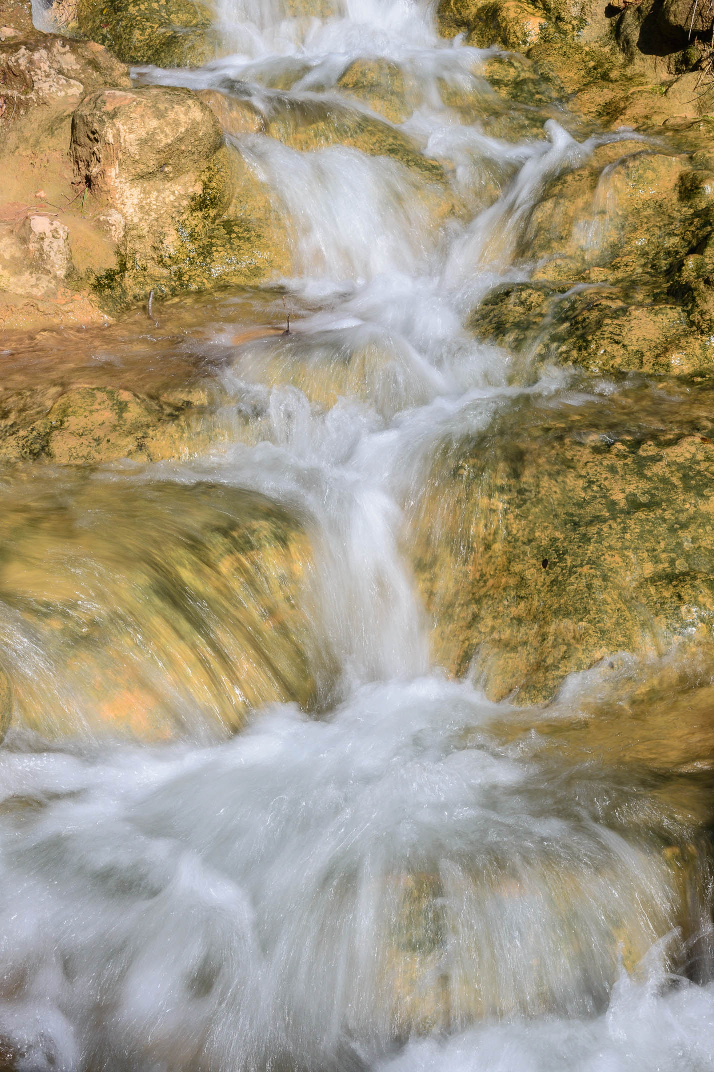
Colors and layers #2!
Colors and layers!

Mt. Hermon with Snow
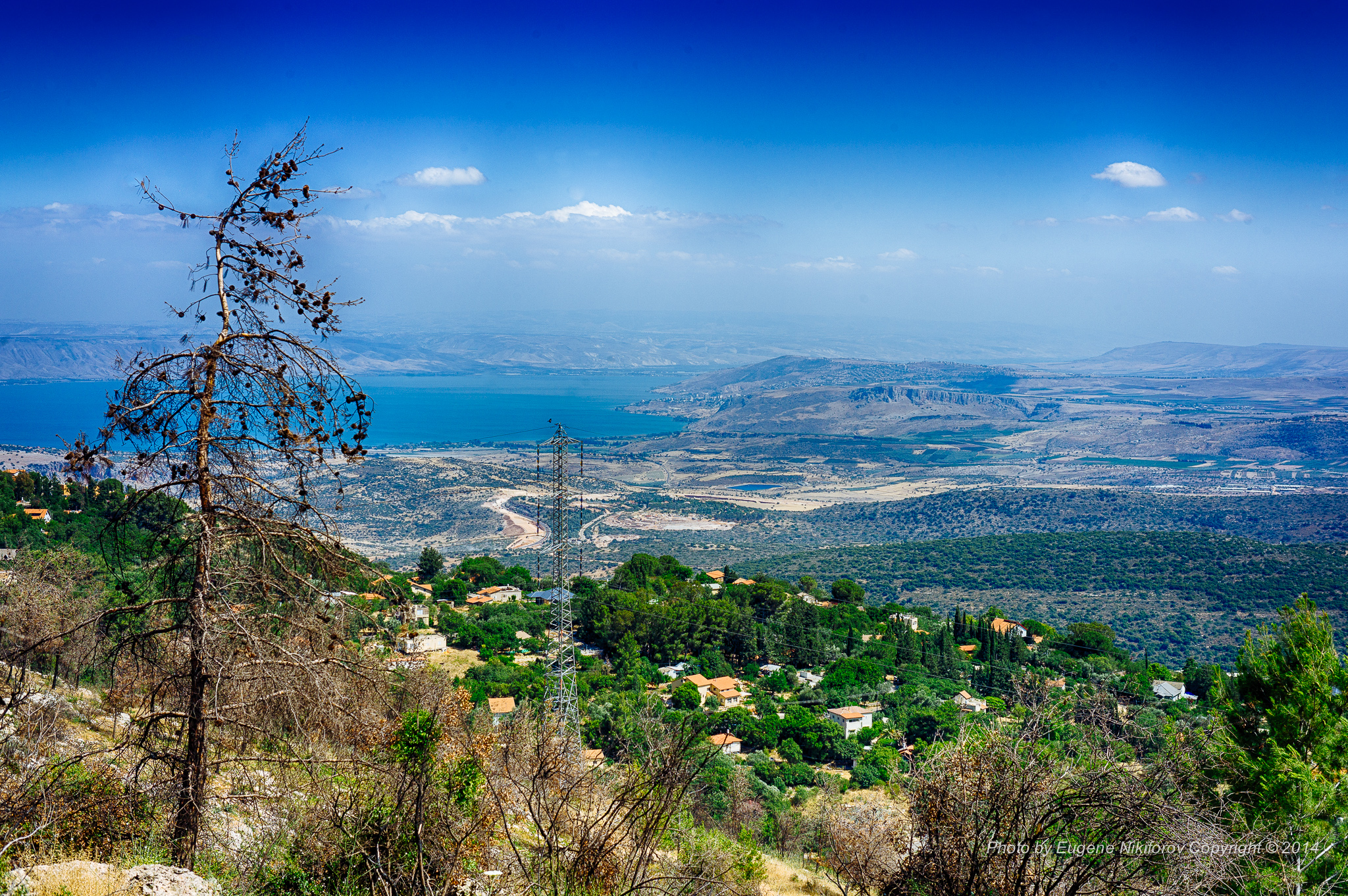
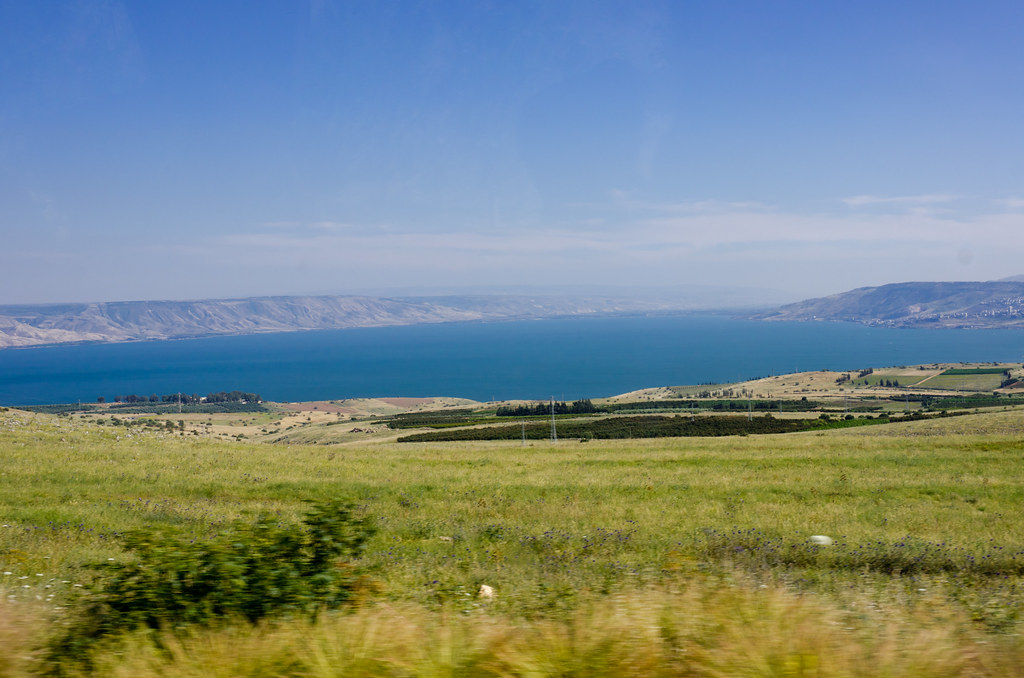
Kinneret, Israel

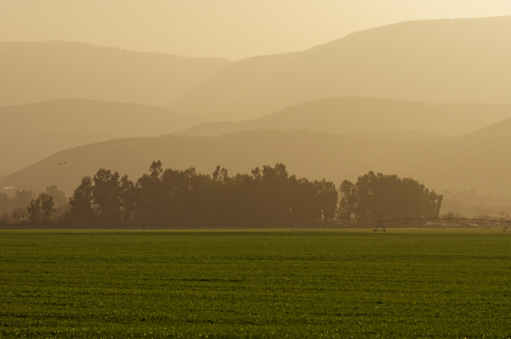
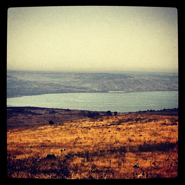
Darkened hills
Driving ヅ
IL-0362-20121223.jpg
נוף על הכינרת מאזור צפת

062. DSC03612

Hula-0116-20120318.jpg

Sunset it Israel.

#israeltours #landscape #galilee
Israel 2011
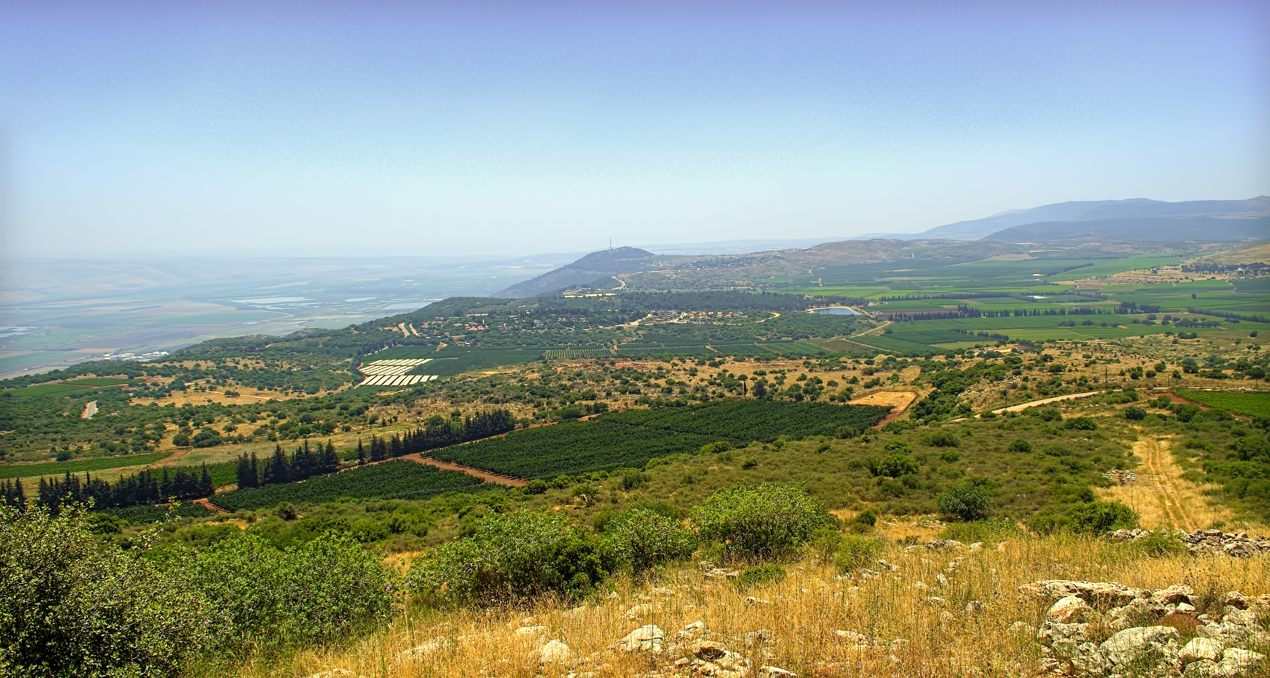
Mountain Above the Kibbutz

Hula-0314-20120318.jpg

Hula-0207-20120318.jpg

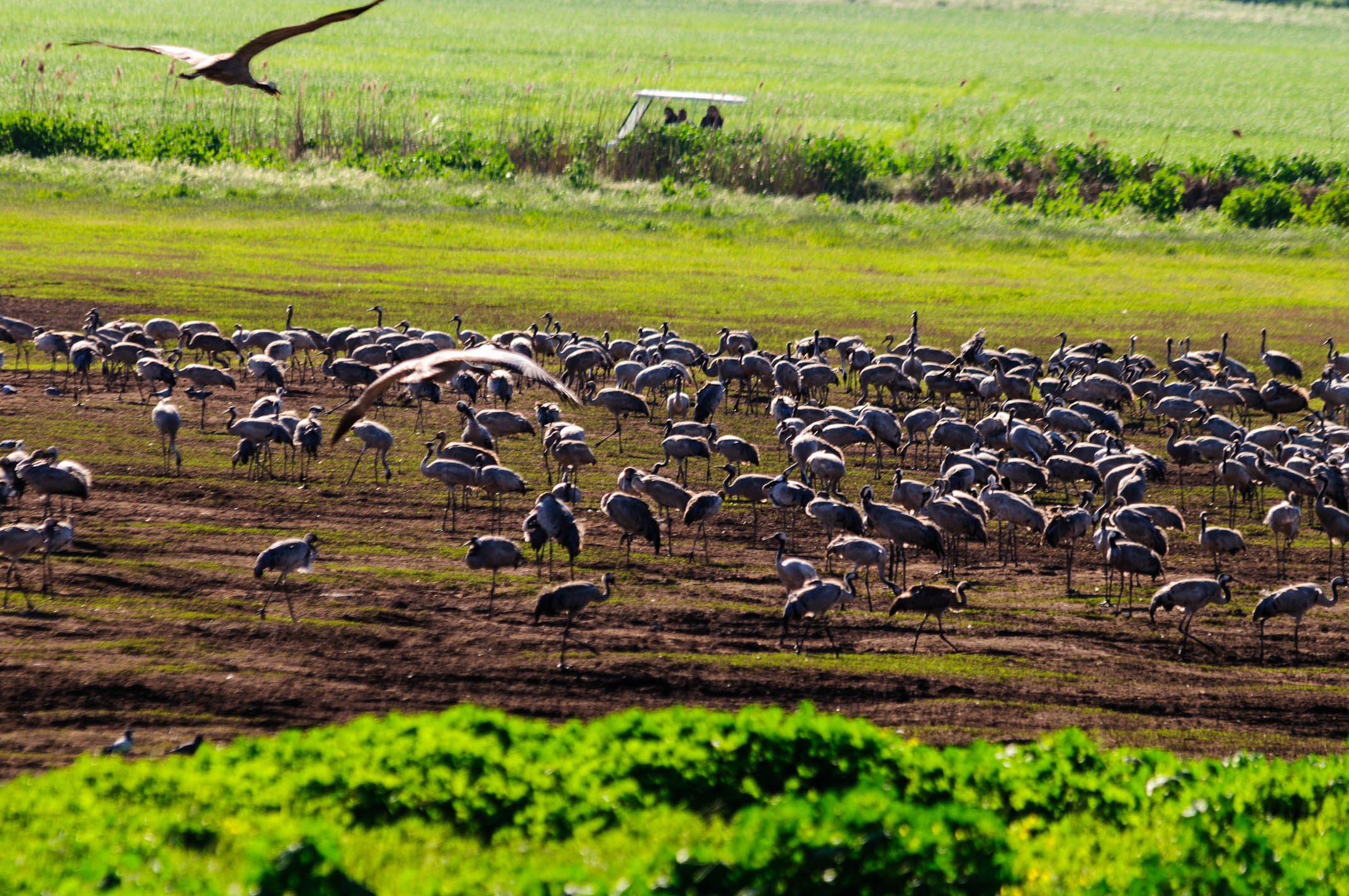
Hula-0275-20120318.jpg

Hula-0253-20120318.jpg
Kfar Hananya, Galilee
Hula-0132-20120318.jpg

Hula-0127-20120318.jpg
Topographic Map of Dalton, Israel
Find elevation by address:

Places near Dalton, Israel:
Ma'ayan Ein Gever
Har No`azim
Merom Hagalil
Safed
Ein Zeved
Mount Meron
Ein Hazaken
Ein Al-asad
Peki'in
Elkosh
Nof Yam 20
Nof Yam 20
Kamon
Ma'ale Kamon Street
Ezor Yehiam
Ma'alot-tarshiha
The Tefen Tower
Hiram St 2
Hiram St 2
Kfar Vradim
Recent Searches:
- Elevation of Spaceport America, Co Rd A, Truth or Consequences, NM, USA
- Elevation of Warwick, RI, USA
- Elevation of Fern Rd, Whitmore, CA, USA
- Elevation of 62 Abbey St, Marshfield, MA, USA
- Elevation of Fernwood, Bradenton, FL, USA
- Elevation of Felindre, Swansea SA5 7LU, UK
- Elevation of Leyte Industrial Development Estate, Isabel, Leyte, Philippines
- Elevation of W Granada St, Tampa, FL, USA
- Elevation of Pykes Down, Ivybridge PL21 0BY, UK
- Elevation of Jalan Senandin, Lutong, Miri, Sarawak, Malaysia