Elevation of Mount Meron
Location: Israel > North District > Merom Hagalil >
Longitude: 35.4122222
Latitude: 32.9975
Elevation: 1173m / 3848feet
Barometric Pressure: 88KPa
Elevation Map:
Satellite Map:
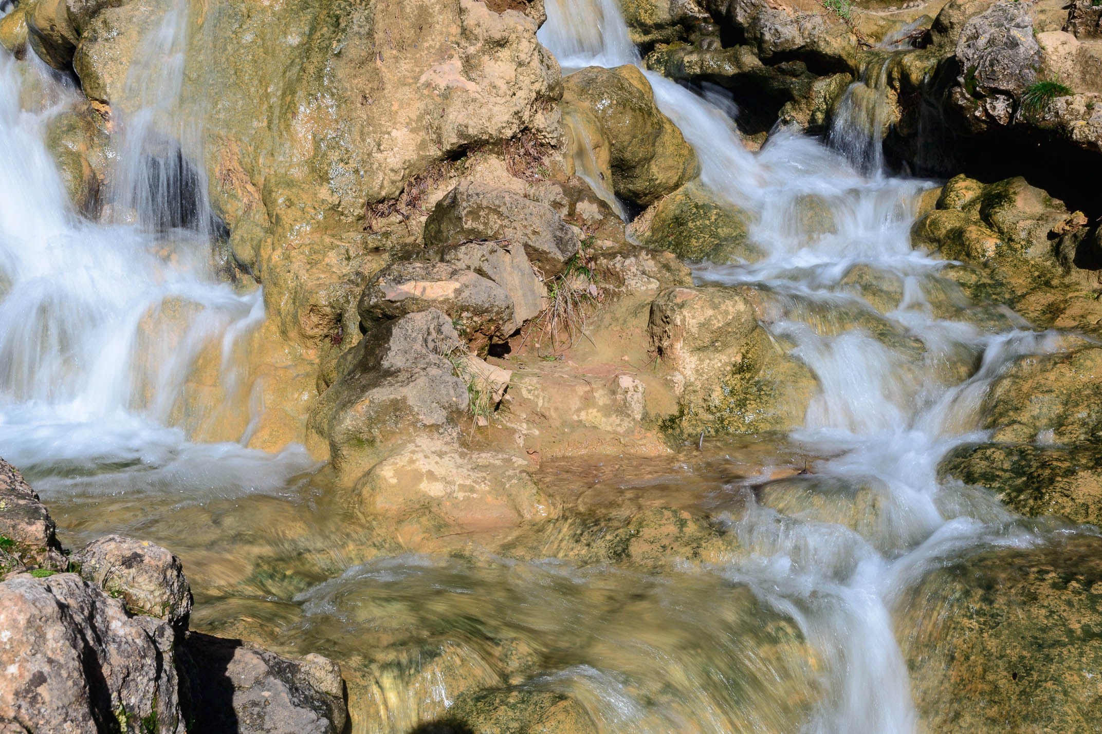
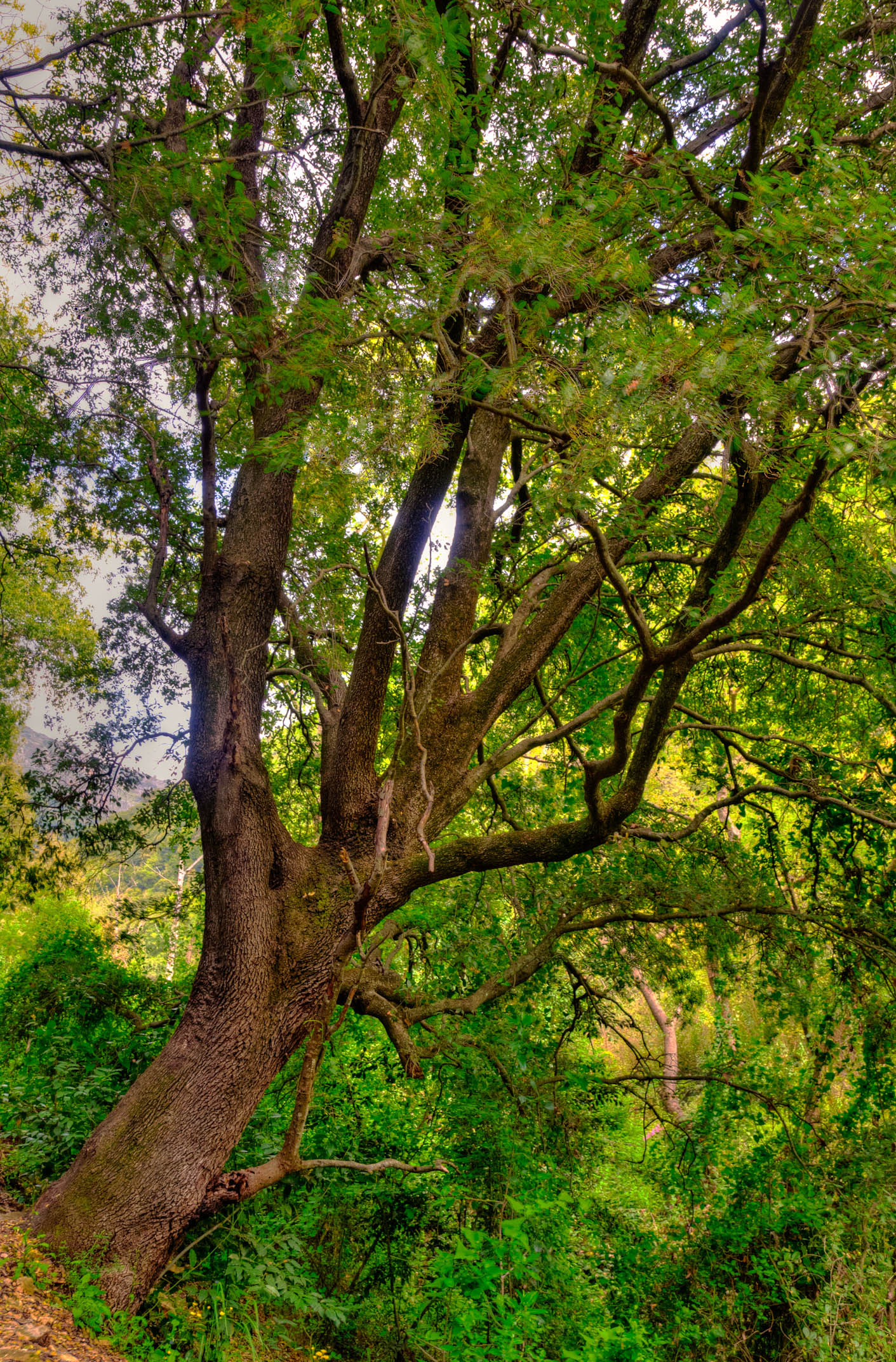
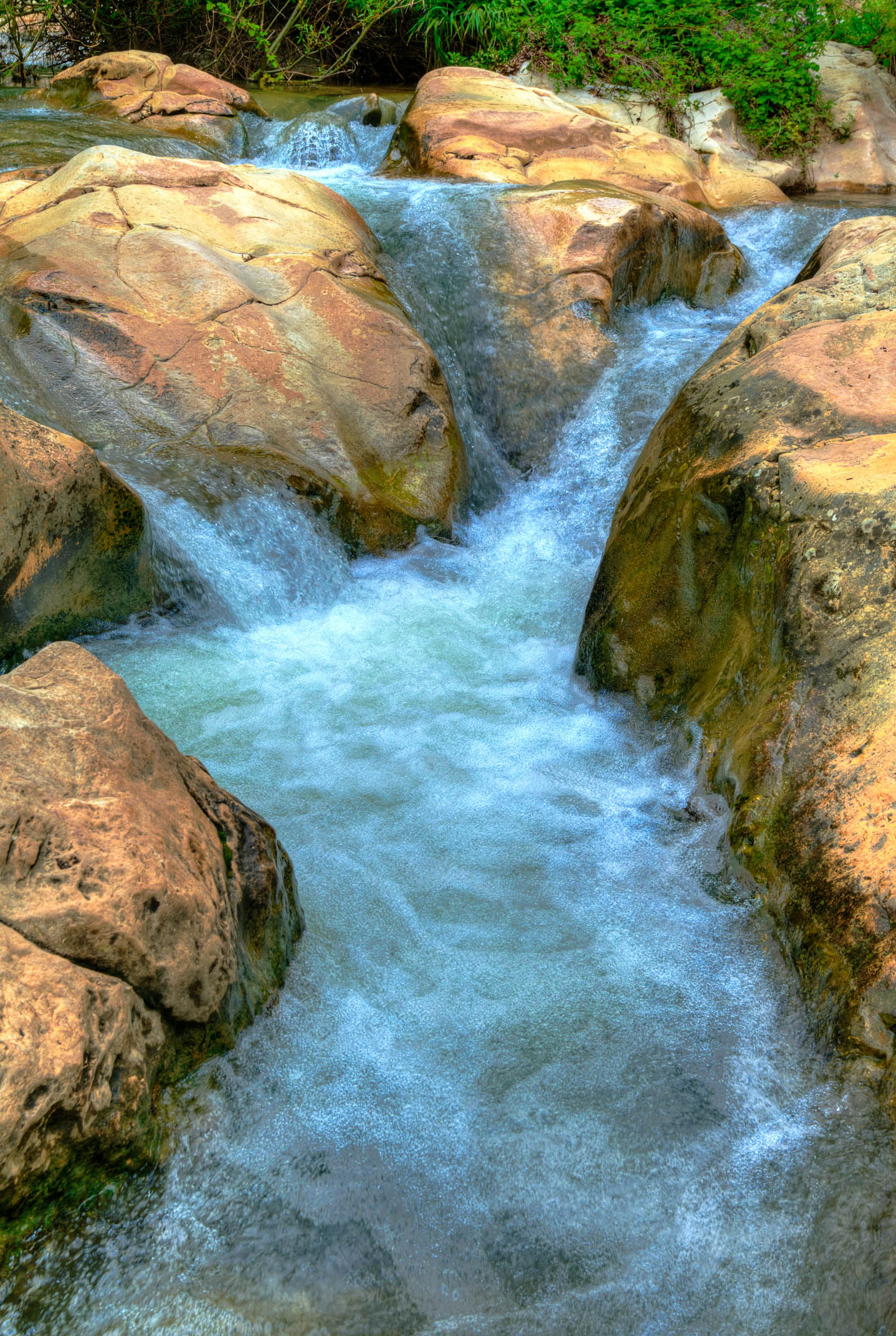
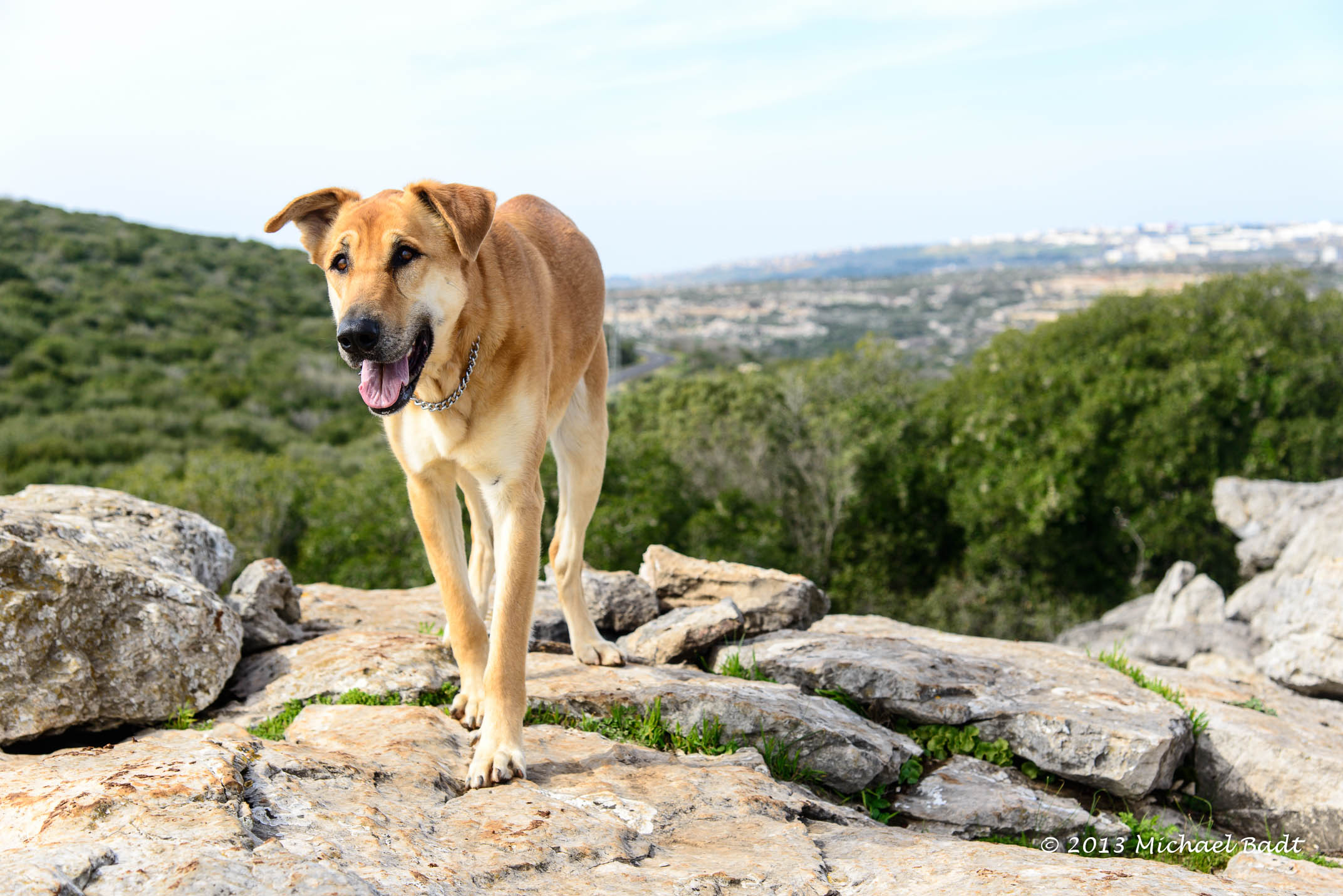
Related Photos:

Mt. Hermon with Snow
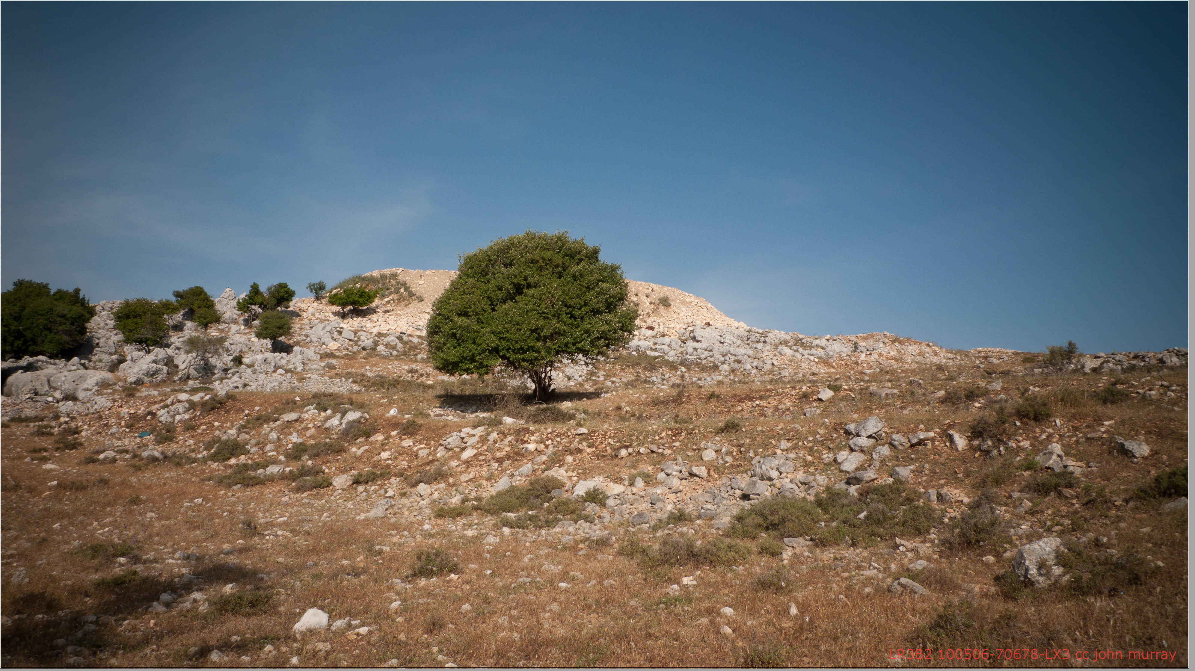
100506-70678-LX3
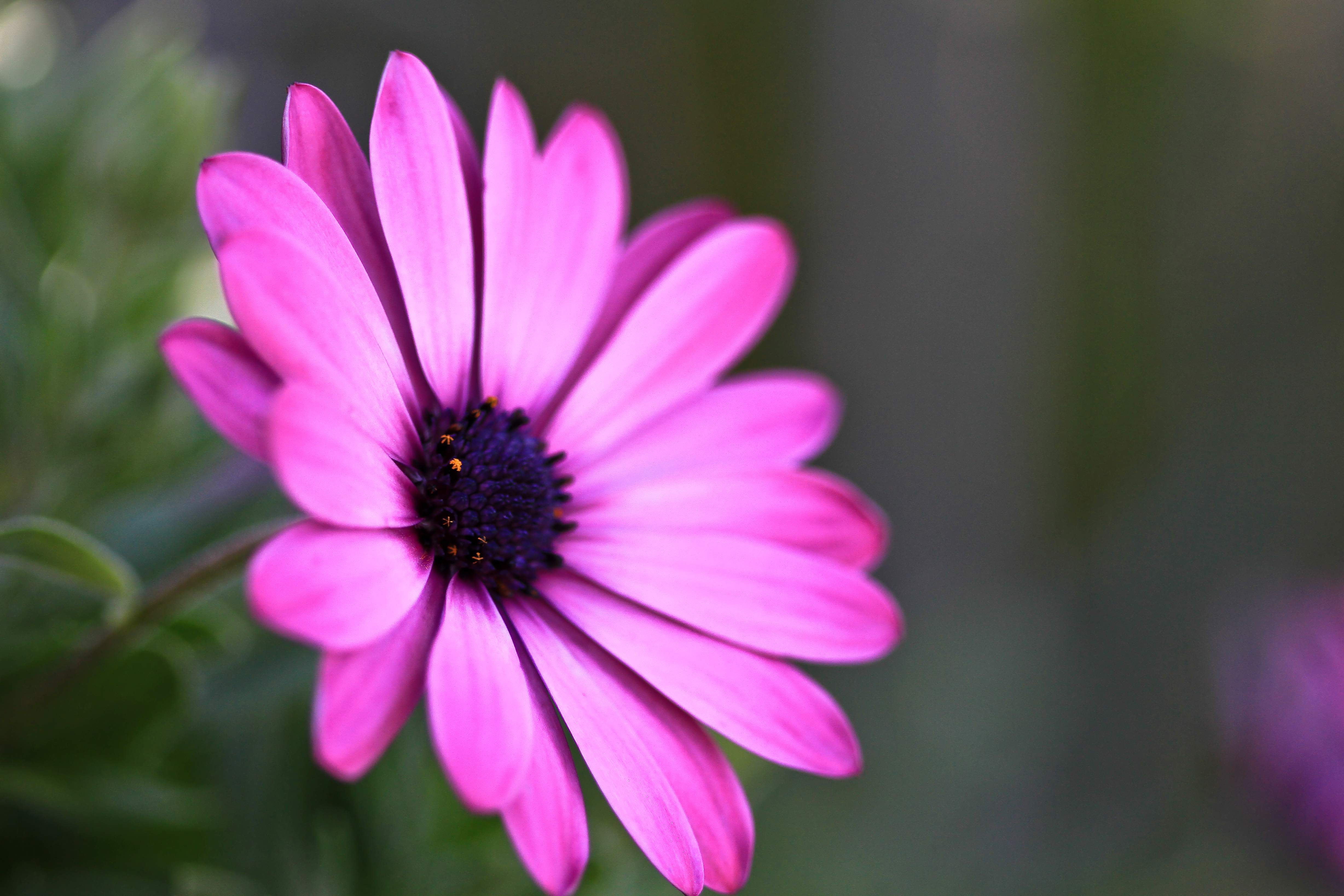
Flowers at Mom's backyard

Driving in Golan View

100507-1202-500D
100507-70712-LX3

100507-70707-LX3

100506-70671-LX3

Buckeye Trip #13

100507-1204-500D
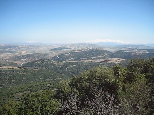
View From Mount Adir
100507-70701-LX3

100507-1203-500D
100507-70693-LX3

100507-70708-LX3

Flowers at Mom's backyard

100507-70694-LX3
100505-70622-LX3

100506-70670-LX3

The Golan Heights

Flowers at Mom's backyard

Sunset-0007-20141002And4more-HDRI-Edit.jpg
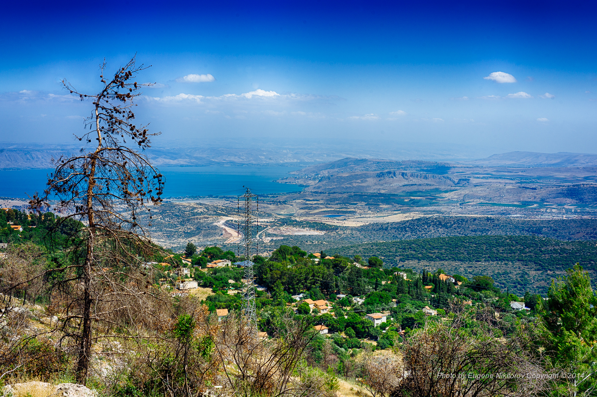
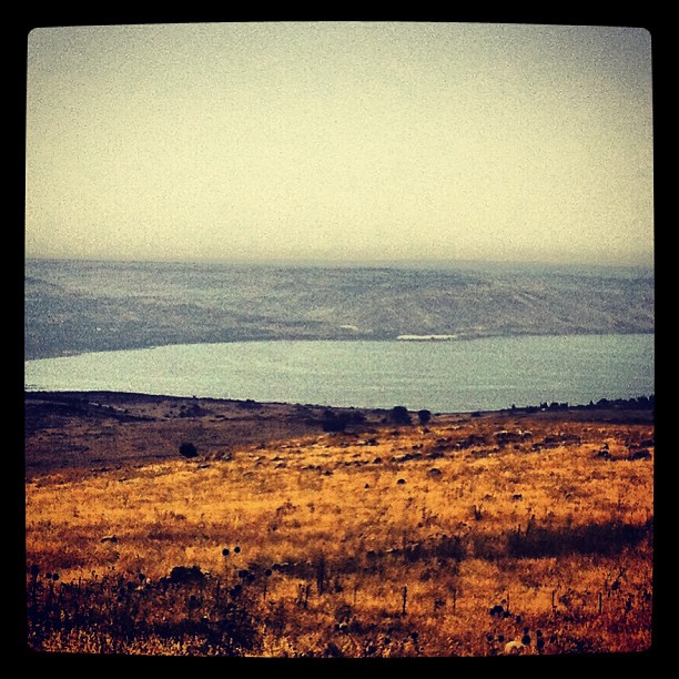
Kinneret, Israel
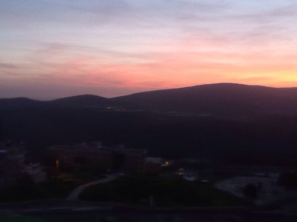
Darkened hills
Driving ヅ
נוף על הכינרת מאזור צפת
IL-0362-20121223.jpg

Sunset it Israel.
IL-0361-20121223.jpg

#israeltours #landscape #galilee
BL_TRL-Cziv--0796-20110409And4more.jpg
BL_TRL-Cziv--0748-20110409And4more.jpg
IL-0201-20130221.jpg

Sunset-0012-20141002And4more-HDRI-Edit.jpg
IL-0824-20130306.jpg
IL-0193-20121215_tonemapped copy.jpg
IL-0233-238_Pano-20120409.jpg
Hills of Galilee

BL_TRL-Cziv--0816-20110409And4more.jpg
IL-0554-20140125.jpg

BL_TRL-Cziv--0806-20110409And4more.jpg
Topographic Map of Mount Meron
Find elevation by address:

Places near Mount Meron:
Ein Zeved
Ein Hazaken
Merom Hagalil
Ein Al-asad
Peki'in
Dalton
Ma'ayan Ein Gever
Safed
Elkosh
Har No`azim
Nof Yam 20
Nof Yam 20
Kamon
Ma'ale Kamon Street
Ezor Yehiam
The Tefen Tower
Ma'alot-tarshiha
Hiram St 2
Hiram St 2
Kfar Vradim
Recent Searches:
- Elevation of Corso Fratelli Cairoli, 35, Macerata MC, Italy
- Elevation of Tallevast Rd, Sarasota, FL, USA
- Elevation of 4th St E, Sonoma, CA, USA
- Elevation of Black Hollow Rd, Pennsdale, PA, USA
- Elevation of Oakland Ave, Williamsport, PA, USA
- Elevation of Pedrógão Grande, Portugal
- Elevation of Klee Dr, Martinsburg, WV, USA
- Elevation of Via Roma, Pieranica CR, Italy
- Elevation of Tavkvetili Mountain, Georgia
- Elevation of Hartfords Bluff Cir, Mt Pleasant, SC, USA