Elevation of Merom HaGalil, Israel
Location: Israel > North District >
Longitude: 35.4672368
Latitude: 32.9916546
Elevation: 723m / 2372feet
Barometric Pressure: 93KPa
Elevation Map:
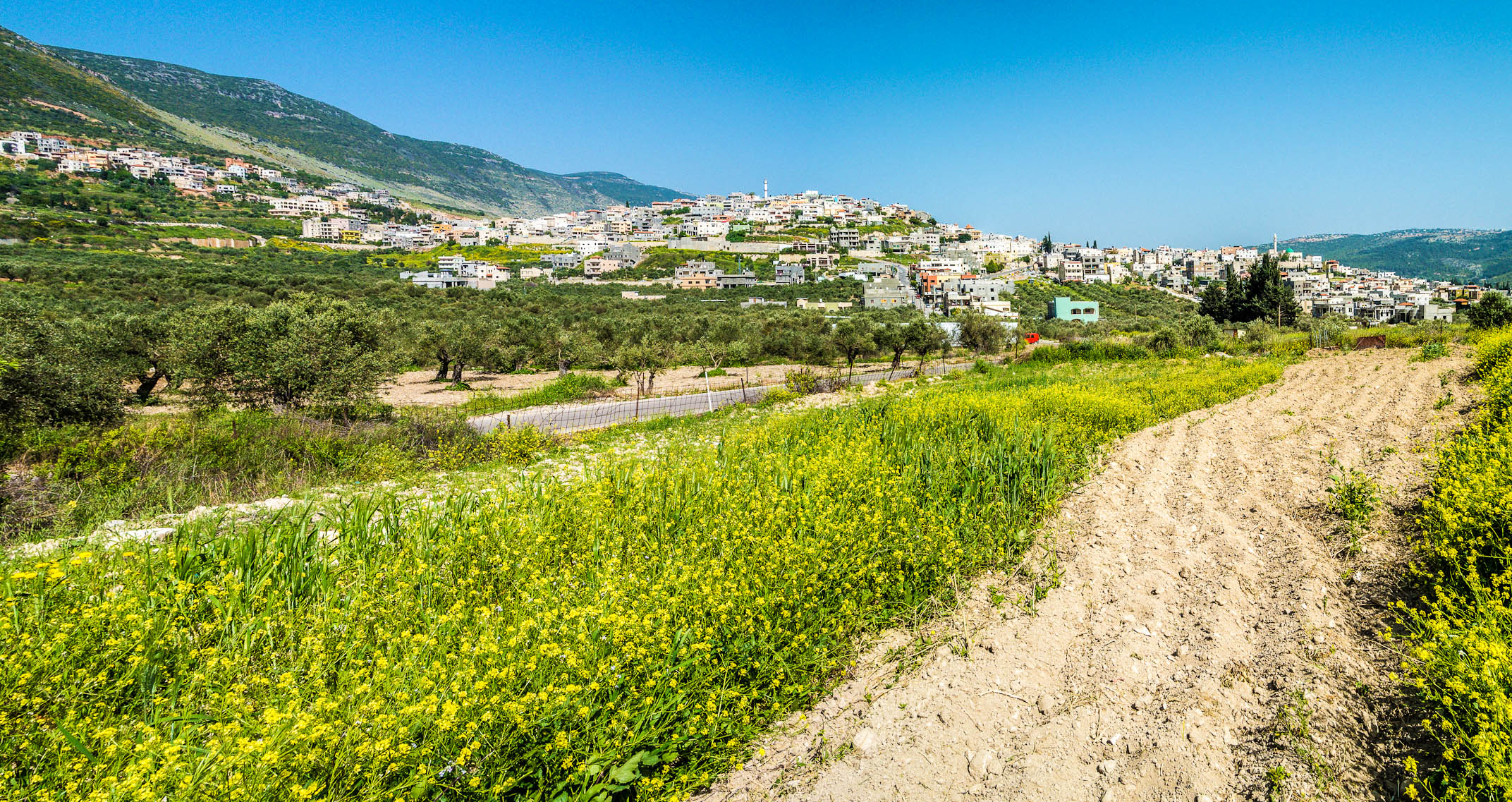
Satellite Map:
Related Photos:

Mt. Hermon with Snow

Driving in Golan View
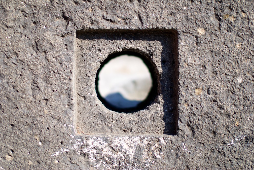
Square Peg and a Round Hole
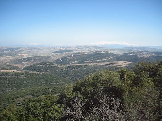
View From Mount Adir

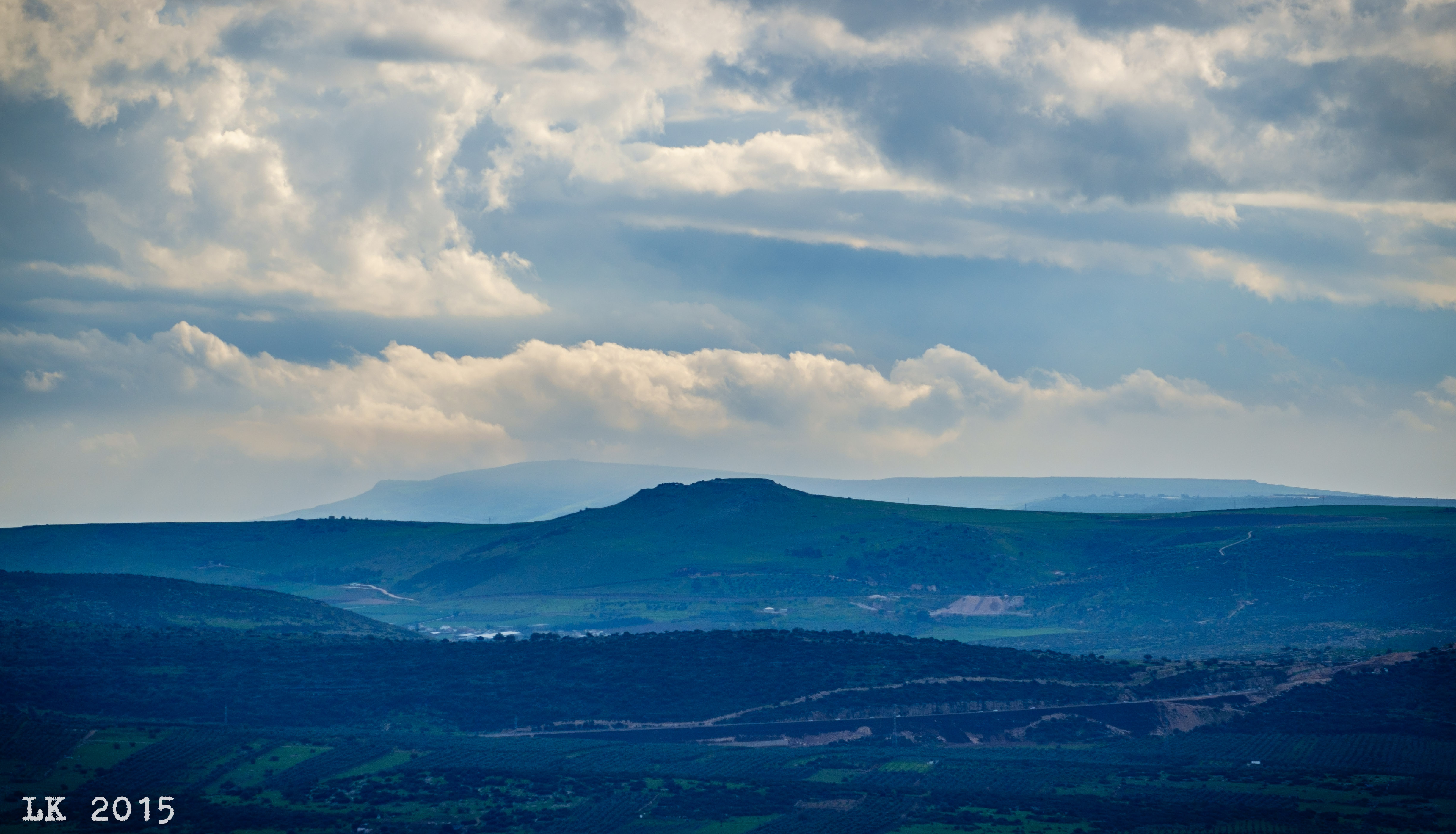
The Golan Heights
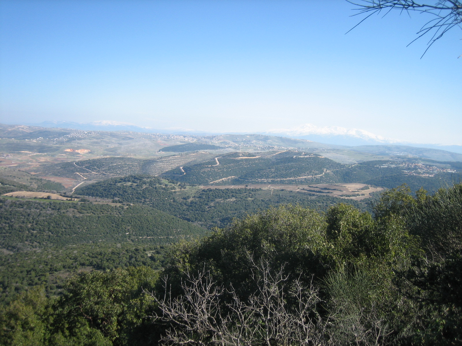
View From Mount Adir
View to the North from Safed
Ethiopian Absorption Center

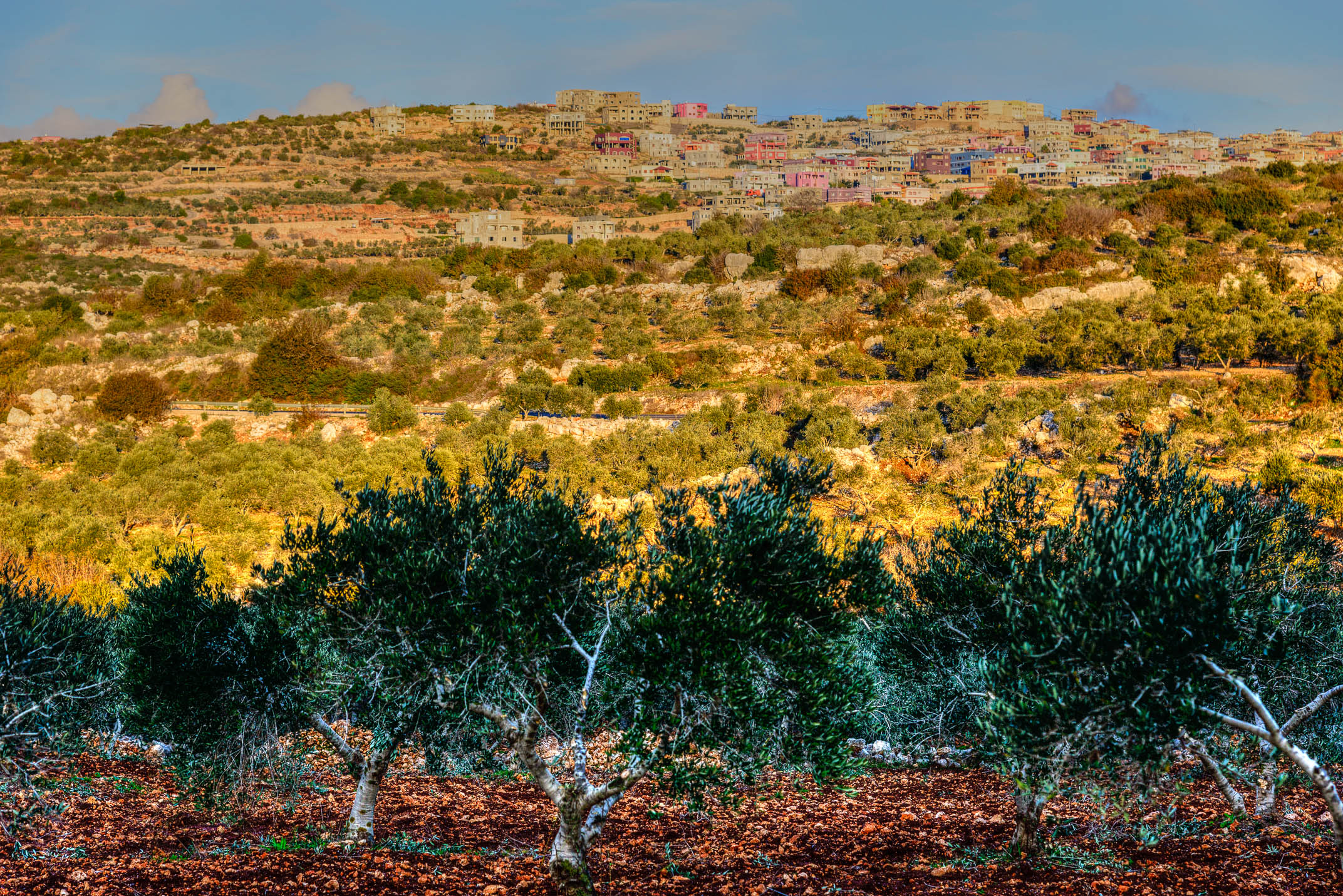
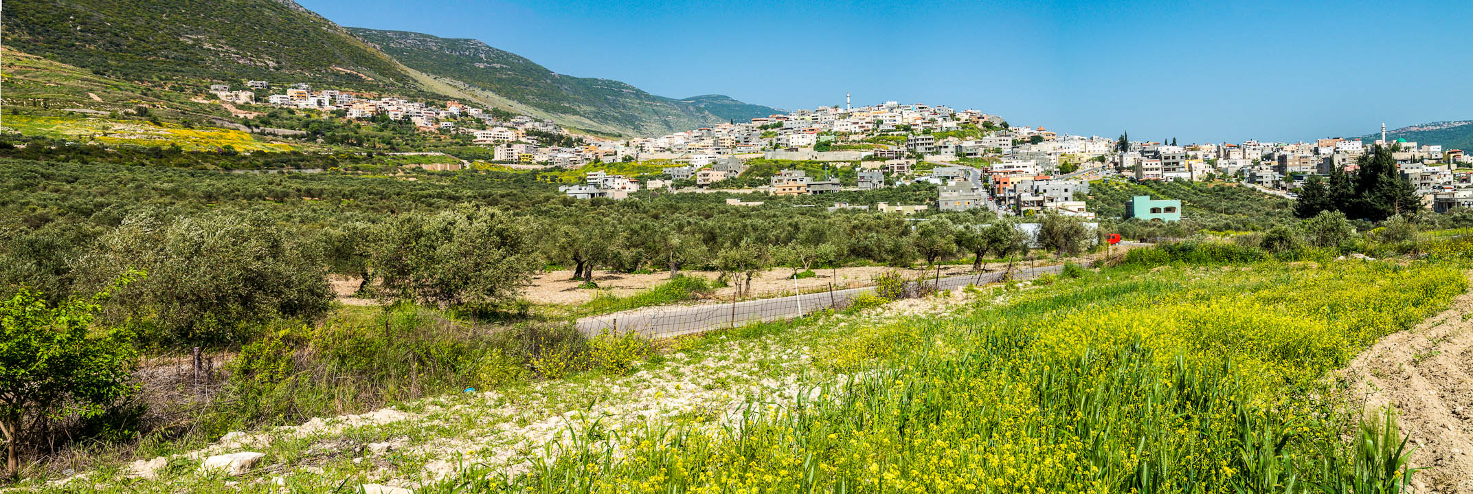
Views of the village of Fassuta
Hahula Pano
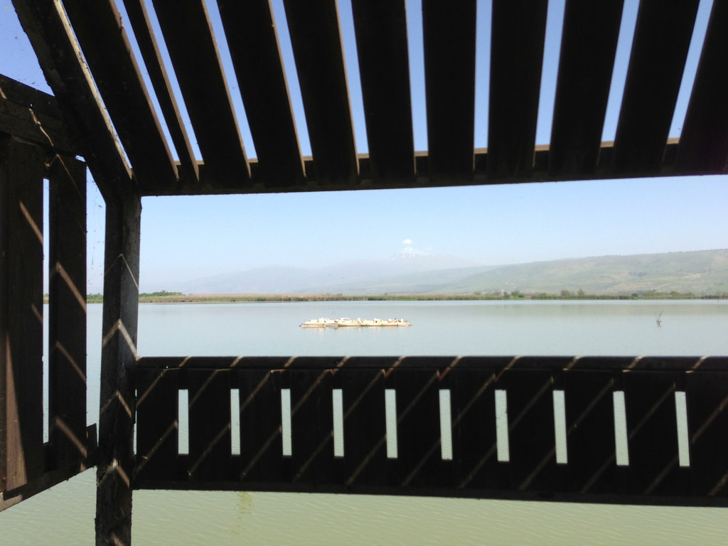
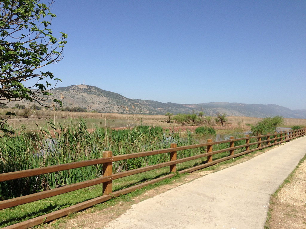
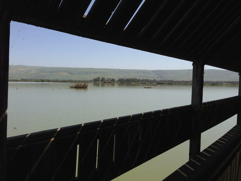
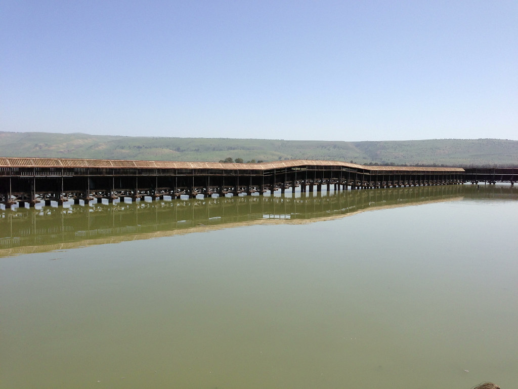
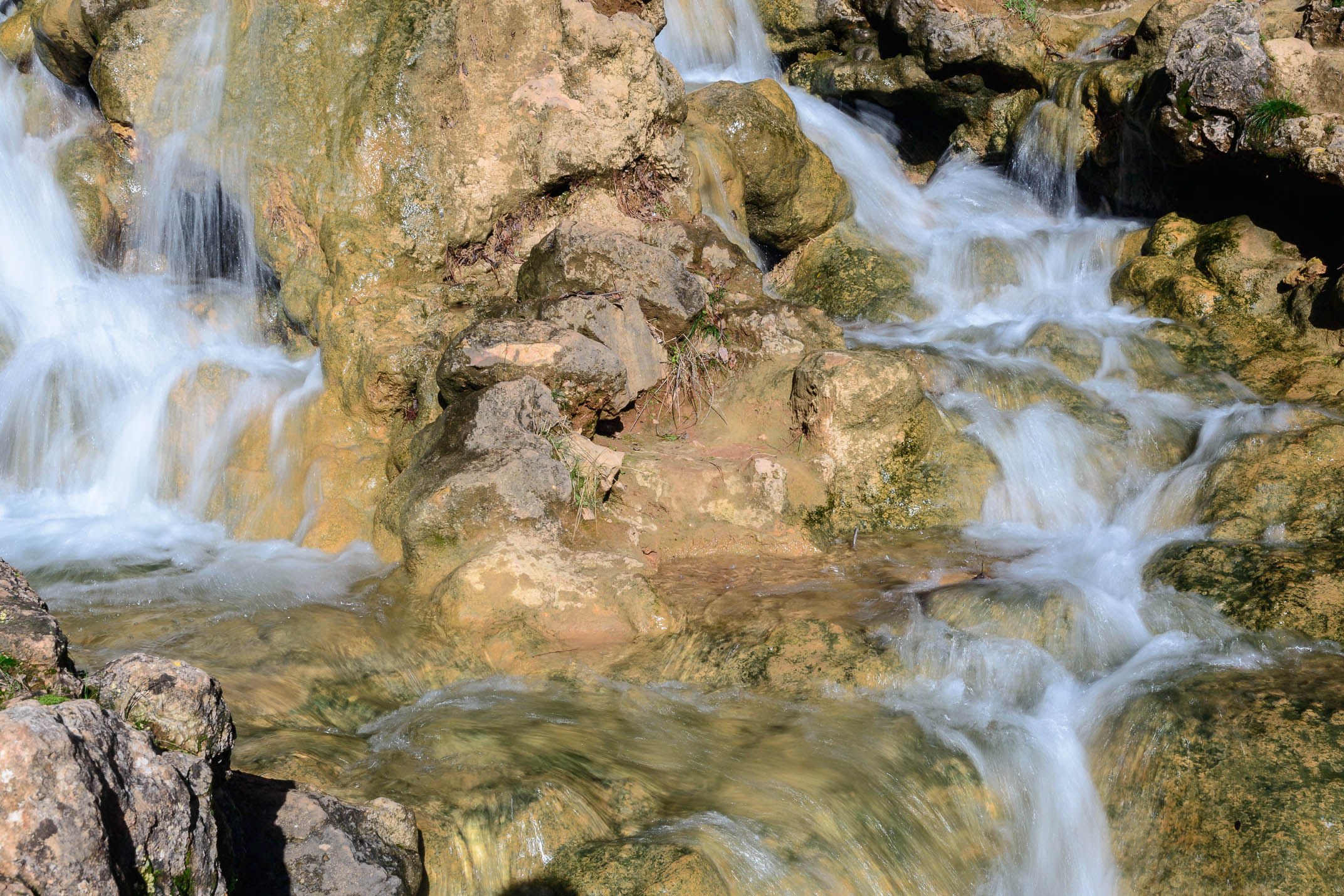
Hula National Park

IL09 3308 Church of the Multiplication, Tabgha, Ein Sheva עין שבע
Hula National Park
Hula National Park
Hula National Park
Hula National Park
Hula National Park

Hula National Park
Hula National Park
Mishmar Ha Yarden. South of former Lake Huleh (Meron) showing former French frontier post (J'sr Banat Ya'qub) at the Jordan
Buckeye Trip #3 (המוביל הארצי ליד חוקוק)
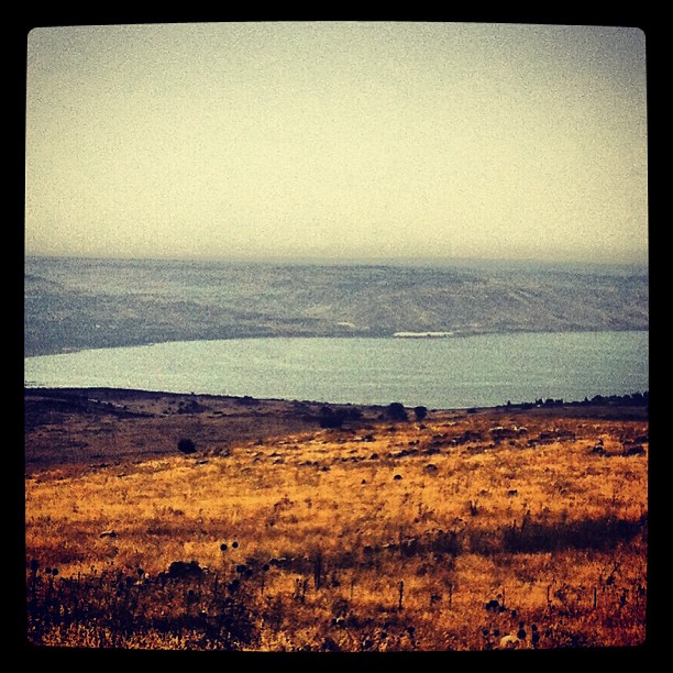
Kinneret, Israel
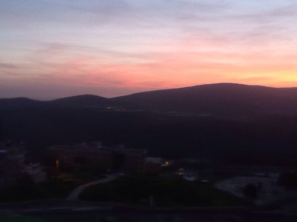
Darkened hills
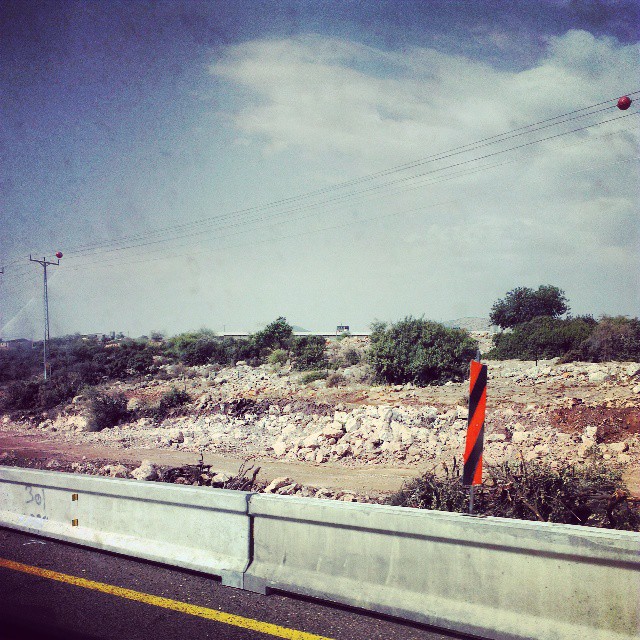
Driving ヅ
נוף על הכינרת מאזור צפת
IL-0362-20121223.jpg

Sunset it Israel.
IL-0361-20121223.jpg

#israeltours #landscape #galilee
IL-0201-20130221.jpg

Sunset-0012-20141002And4more-HDRI-Edit.jpg
IL-0824-20130306.jpg
IL-0193-20121215_tonemapped copy.jpg
IL-0233-238_Pano-20120409.jpg
Hills of Galilee

Sunset-0007-20141002And4more-HDRI-Edit.jpg
IL-0554-20140125.jpg
Galil Nahal Aviv P4080484_.jpg

IL-0534-20140125.jpg
IL-0226_229_pano-20120409.jpg
Topographic Map of Merom HaGalil, Israel
Find elevation by address:

Places in Merom HaGalil, Israel:
Places near Merom HaGalil, Israel:
Ma'ayan Ein Gever
Dalton
Safed
Har No`azim
Ein Zeved
Ein Hazaken
Mount Meron
Ein Al-asad
Nof Yam 20
Nof Yam 20
Peki'in
Kamon
Ma'ale Kamon Street
Elkosh
Ezor Yehiam
North District
The Tefen Tower
Karmiel
Ma'alot-tarshiha
Hiram St 2
Recent Searches:
- Elevation of Jalan Senandin, Lutong, Miri, Sarawak, Malaysia
- Elevation of Bilohirs'k
- Elevation of 30 Oak Lawn Dr, Barkhamsted, CT, USA
- Elevation of Luther Road, Luther Rd, Auburn, CA, USA
- Elevation of Unnamed Road, Respublika Severnaya Osetiya — Alaniya, Russia
- Elevation of Verkhny Fiagdon, North Ossetia–Alania Republic, Russia
- Elevation of F. Viola Hiway, San Rafael, Bulacan, Philippines
- Elevation of Herbage Dr, Gulfport, MS, USA
- Elevation of Lilac Cir, Haldimand, ON N3W 2G9, Canada
- Elevation of Harrod Branch Road, Harrod Branch Rd, Kentucky, USA