Elevation of Tzfat, Israel
Location: Israel > North District >
Longitude: 35.5220012
Latitude: 33.0229939
Elevation: 481m / 1578feet
Barometric Pressure: 96KPa
Elevation Map:
Satellite Map:
Related Photos:

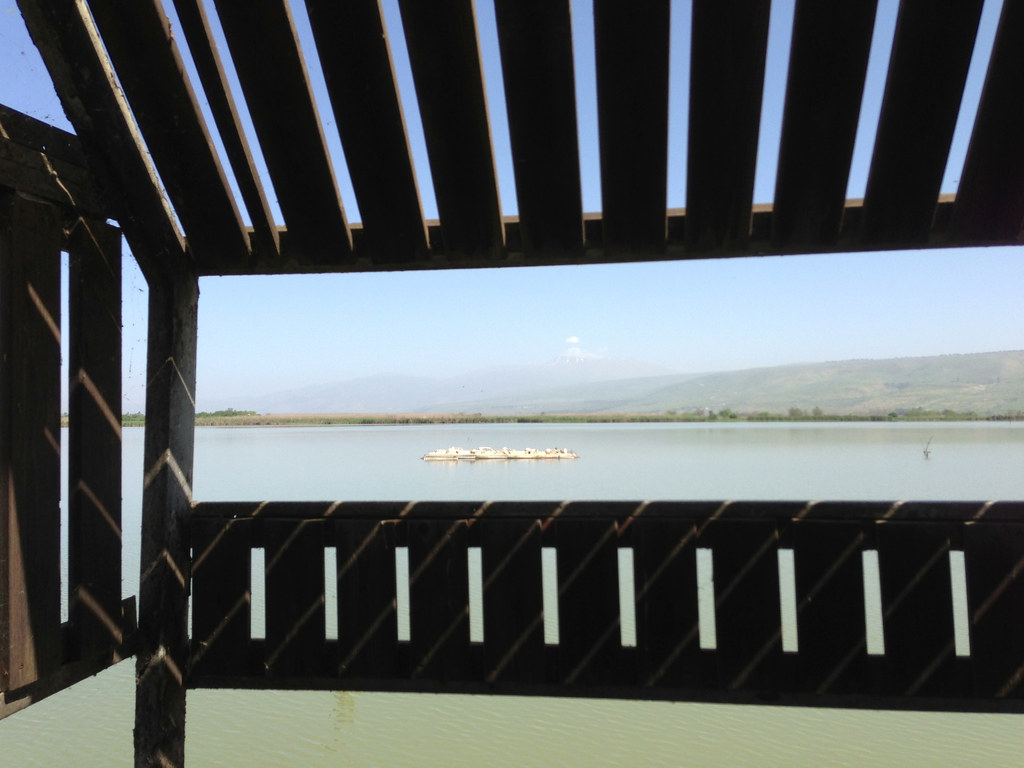
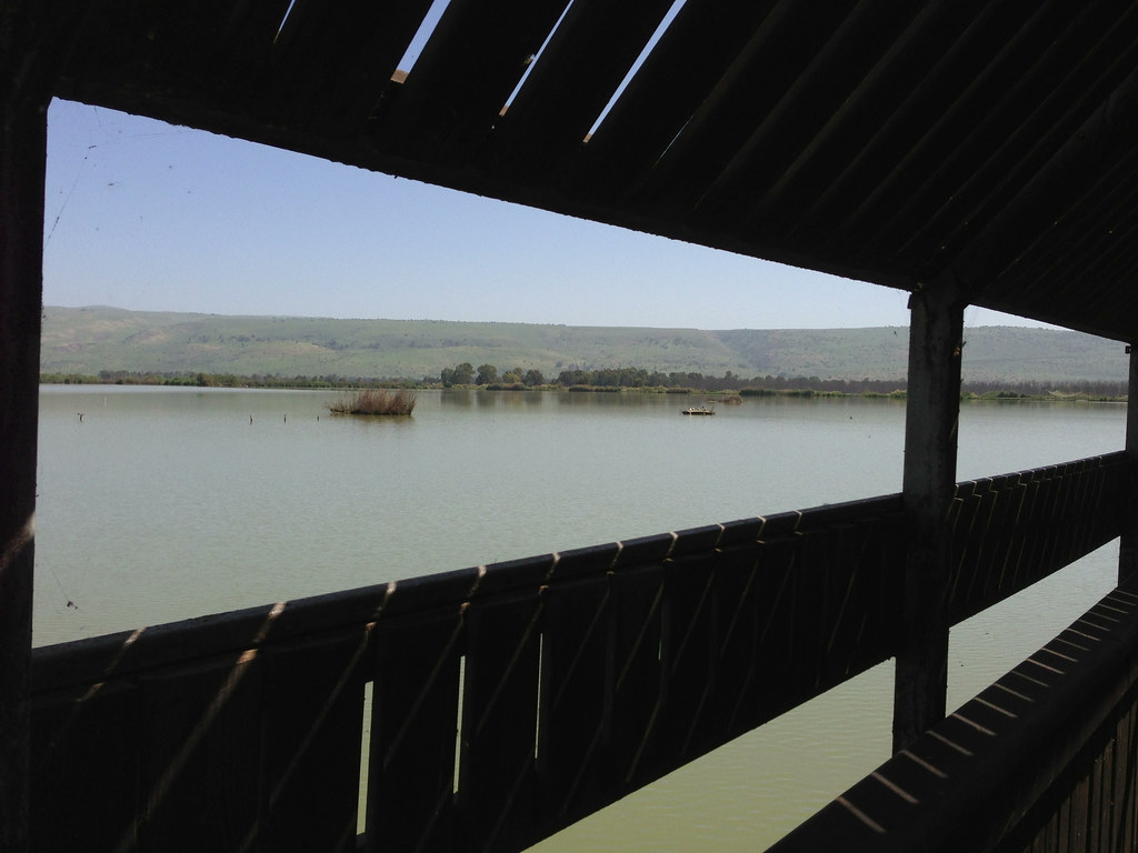
Misty lake view

Mt. Hermon with Snow
From a point of view of an ant!

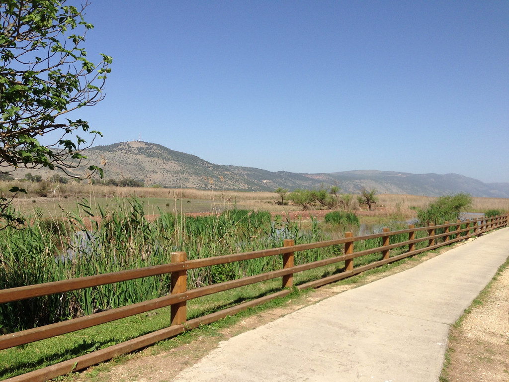
Driving in Golan View
Agamon view
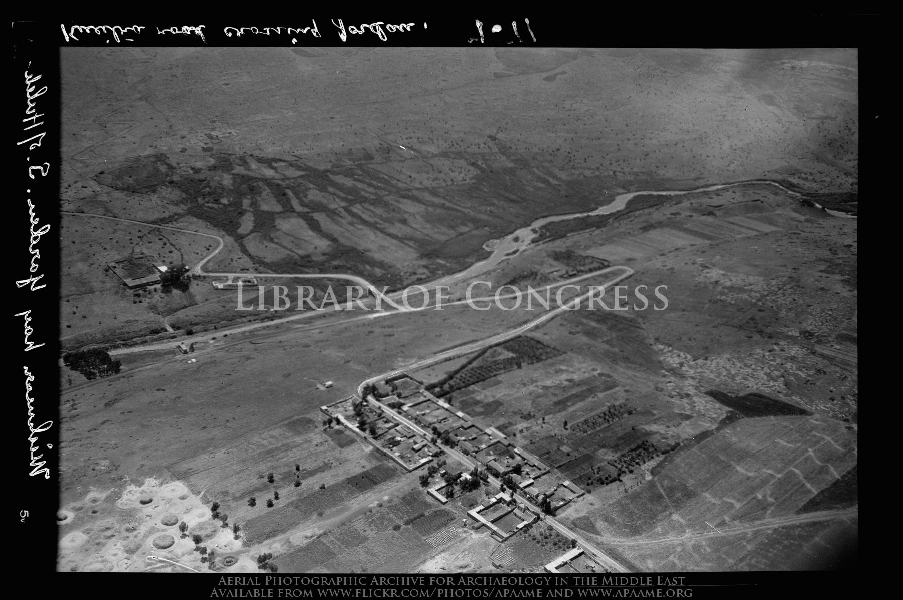
Mishmar Ha Yarden. South of former Lake Huleh (Meron) showing former French frontier post (J'sr Banat Ya'qub) at the Jordan
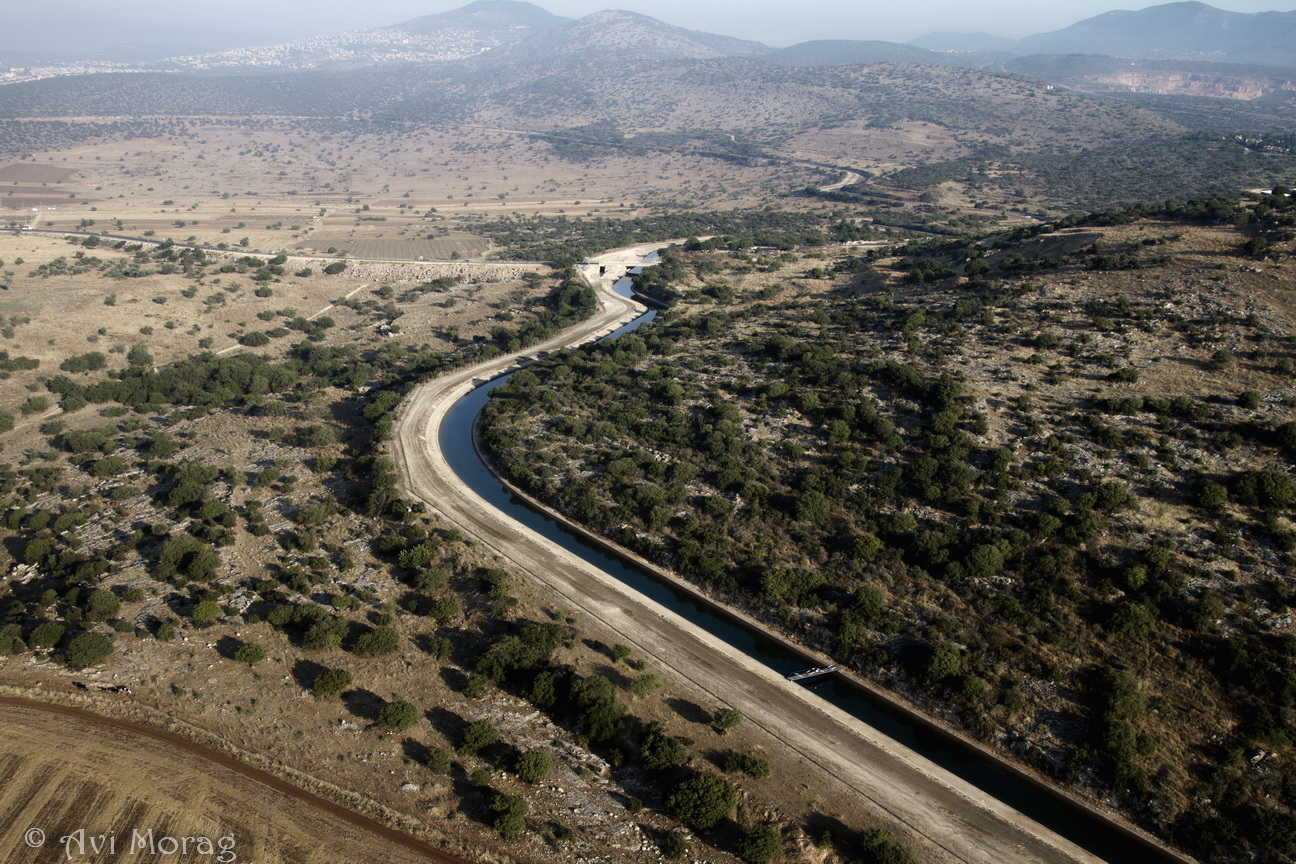
Buckeye Trip #3 (המוביל הארצי ליד חוקוק)
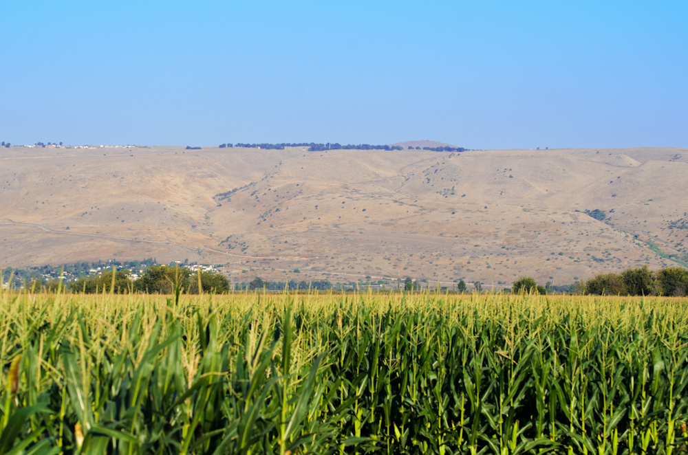
Enjoying the Apple and the View of the Jordan River
View of the Sea of Galilee Church of the Beatitudes
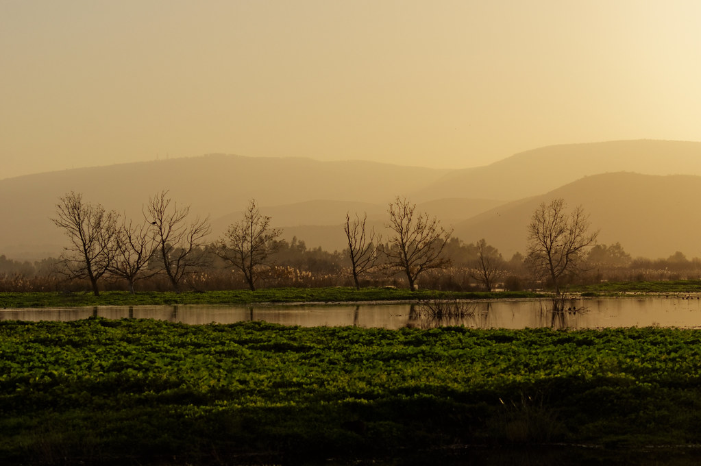
Hahula Pano
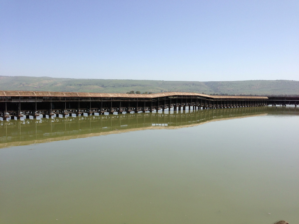
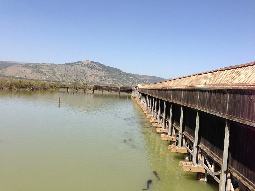
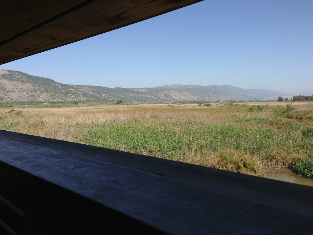
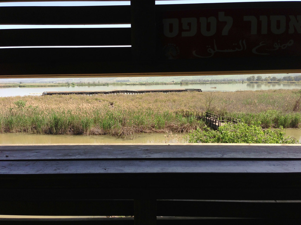
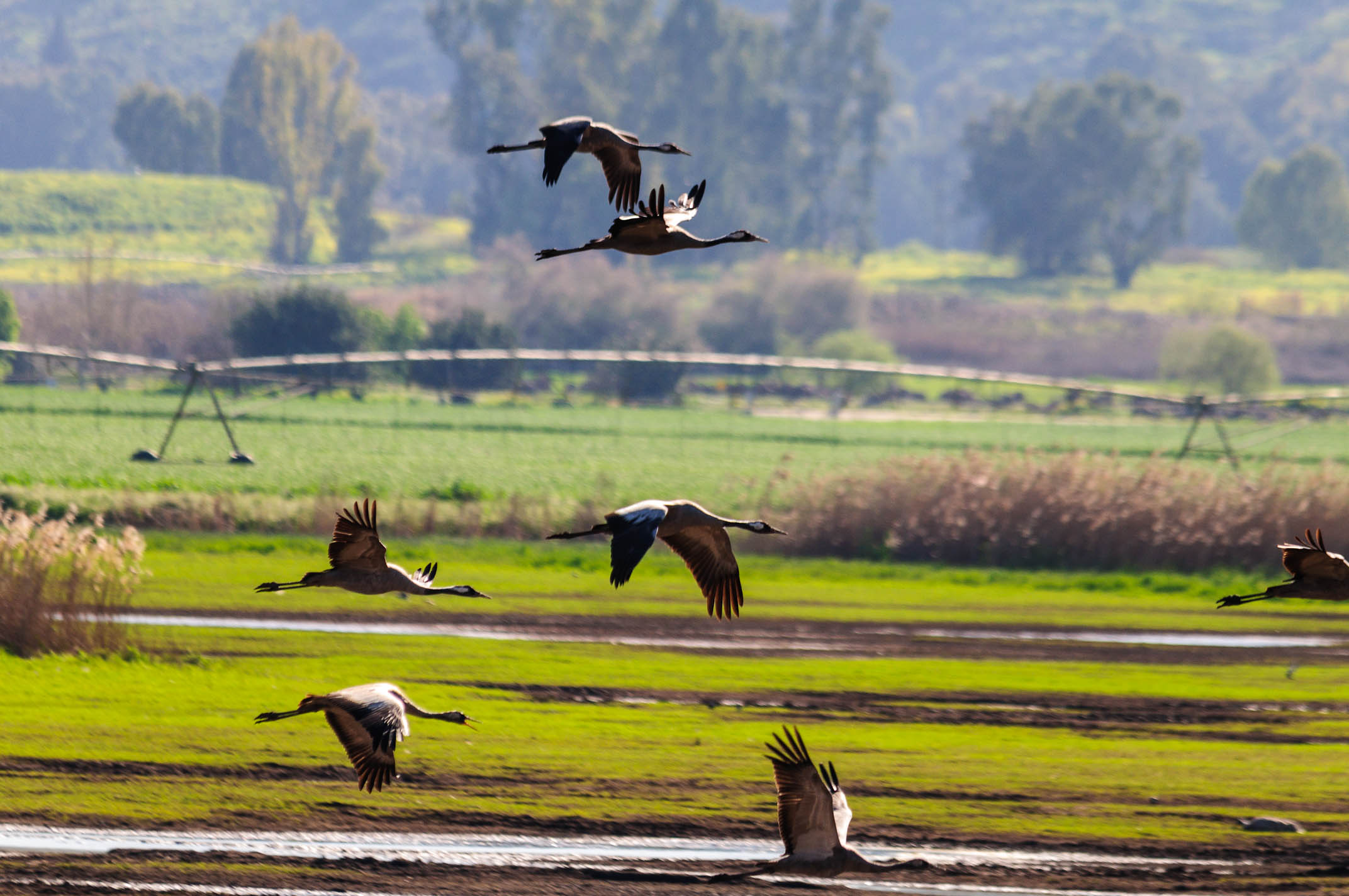
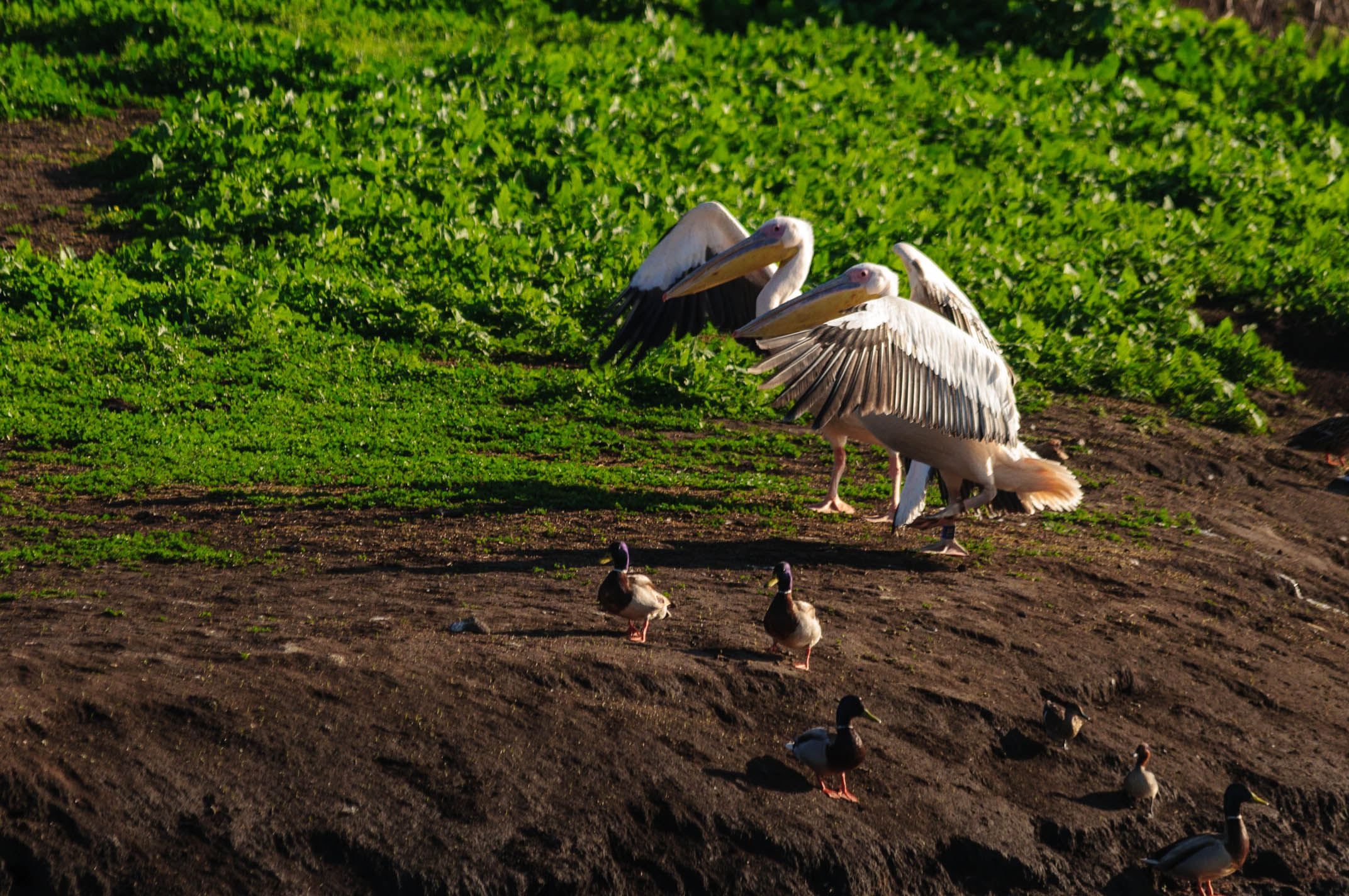
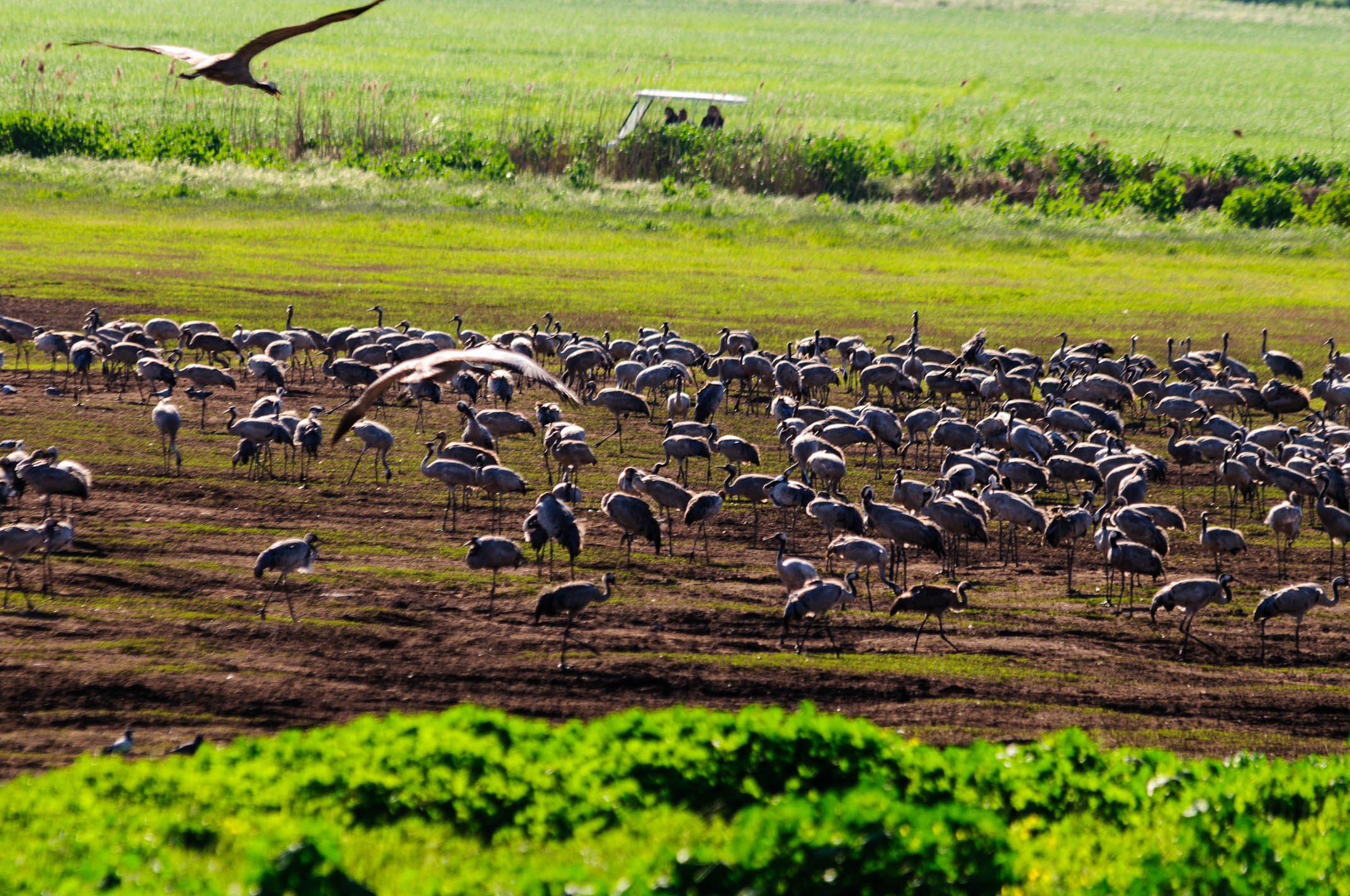
Hula National Park
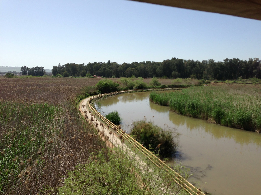
Hula National Park
Hula National Park
Hula National Park
Hula National Park
Hula National Park

Hula National Park
Hula National Park
Hula National Park
Hula National Park
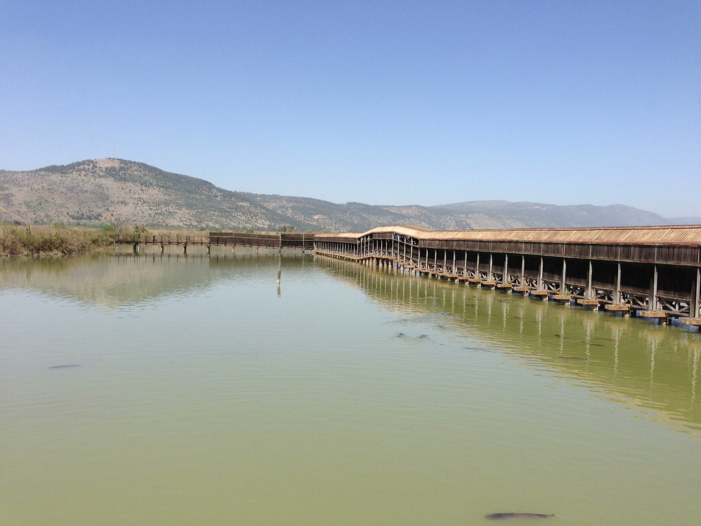
Hula National Park
Colors and layers #2!
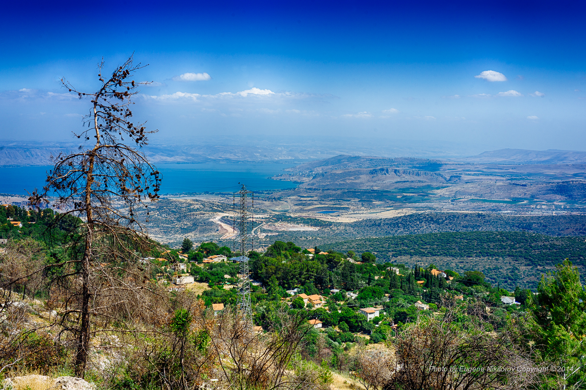
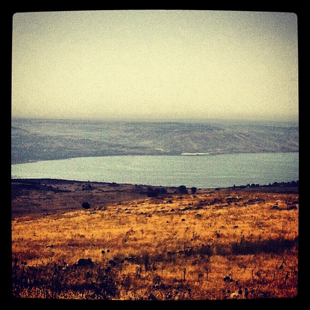
Kinneret, Israel
Darkened hills
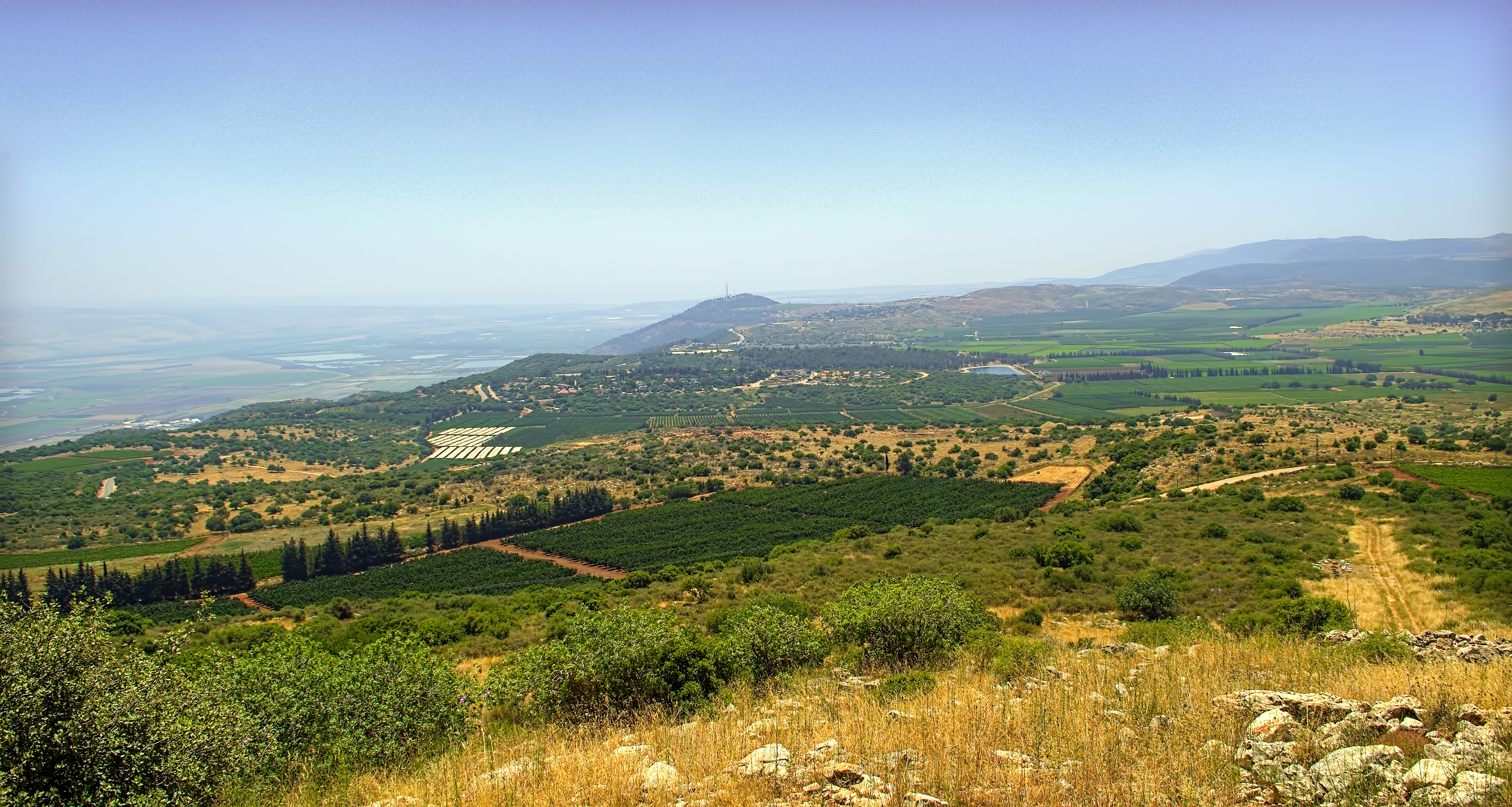
נוף על הכינרת מאזור צפת
IL-0362-20121223.jpg

062. DSC03612
Hula-0116-20120318.jpg

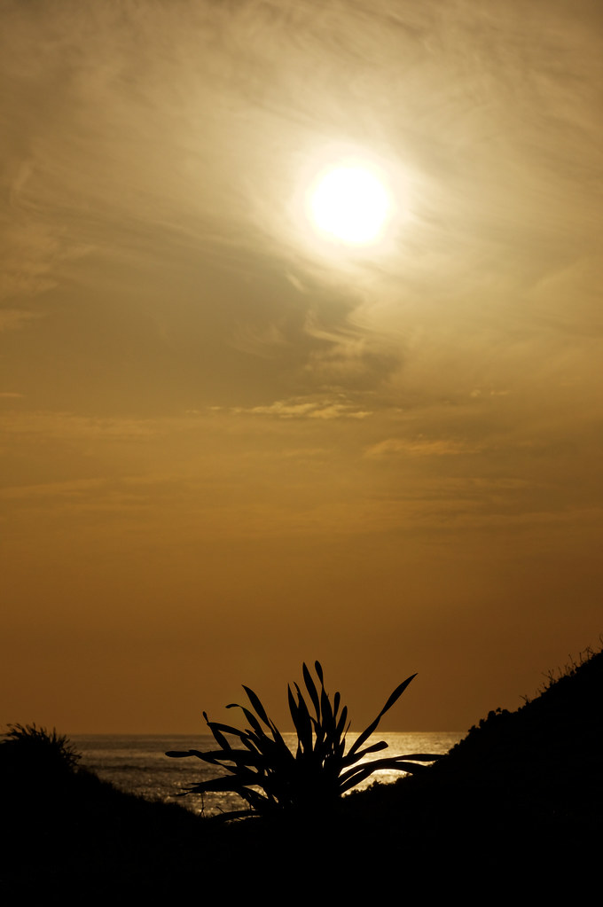
Sunset it Israel.
IL-0361-20121223.jpg

#israeltours #landscape #galilee

Hula-0312-20120318.jpg
Mountain Above the Kibbutz

121108_3202-e
Golan Heights
Colors and layers!

Hula-0314-20120318.jpg

Hula-0275-20120318.jpg
Hula-0207-20120318.jpg
Hula-0132-20120318.jpg
Topographic Map of Tzfat, Israel
Find elevation by address:

Places in Tzfat, Israel:
Places near Tzfat, Israel:
Eye Banbury
Bat-ya'ar Farm
Dalton
Ma'ayan Ein Gever
Har No`azim
Tel Hazor National Park - גן לאומי תל חצור-כולל מוזיאון
Tel Hazor National Park
Rosh Pinna
Dishon
Merom Hagalil
Safed
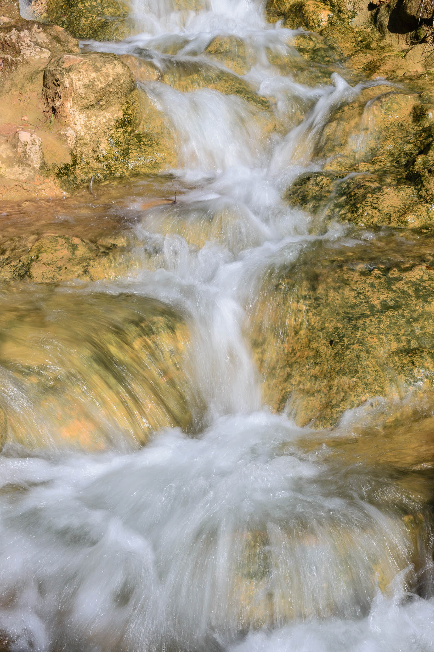
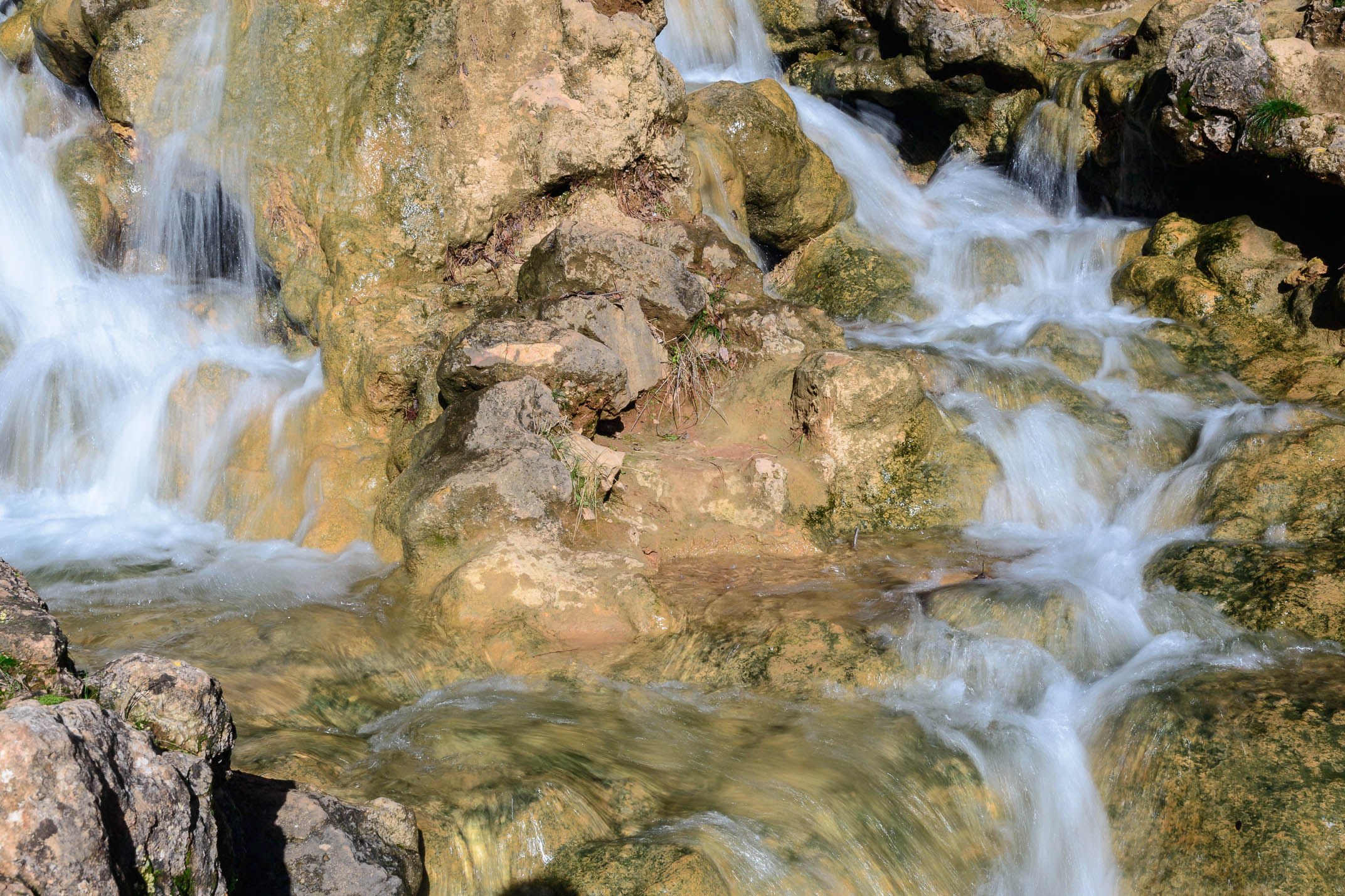
Hula Nature Reserve
Gadot
Ein Zeved
Mount Meron
Ein Hazaken
Chorazin
Hula Valley
Bint Jbeil
Emek Hulah
Recent Searches:
- Elevation of W Granada St, Tampa, FL, USA
- Elevation of Pykes Down, Ivybridge PL21 0BY, UK
- Elevation of Jalan Senandin, Lutong, Miri, Sarawak, Malaysia
- Elevation of Bilohirs'k
- Elevation of 30 Oak Lawn Dr, Barkhamsted, CT, USA
- Elevation of Luther Road, Luther Rd, Auburn, CA, USA
- Elevation of Unnamed Road, Respublika Severnaya Osetiya — Alaniya, Russia
- Elevation of Verkhny Fiagdon, North Ossetia–Alania Republic, Russia
- Elevation of F. Viola Hiway, San Rafael, Bulacan, Philippines
- Elevation of Herbage Dr, Gulfport, MS, USA