Elevation of Daggett, IN, USA
Location: United States > Indiana > Owen County > Jefferson Township > Coal City >
Longitude: -87.038899
Latitude: 39.2155983
Elevation: 201m / 659feet
Barometric Pressure: 99KPa
Elevation Map:
Satellite Map:
Related Photos:

PC 1860 10-14-72 2

09-21-2009 Hazmat Response

I have a lot of #nature pictures... This one's just bending over backwards for you to see it.

#nature leaves and sticks and trees and dirt

Library Worthington, IN

Library Worthington, IN2

Library Worthington, IN3

Tin Worthington, IN
Shop Worthington, IN

Brick Worthington, IN

Brick Worthington, IN2

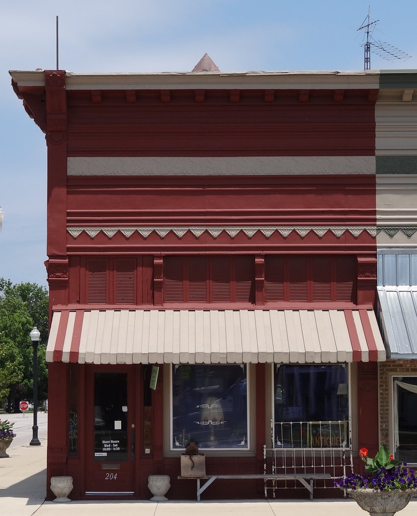
Store Worthington, IN

Abandoned drug store neon sign - Worthington, IN

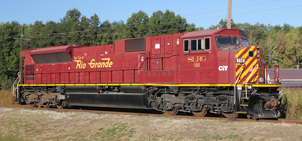
Indiana Railroad INRD 3804 (GP38-2) Jasonville, Indiana

Goshorn Park

Goshorn Park

Goshorn Park

Goshorn Park

Goshorn Park

Joe's Garage BBQ

Goshorn Park

Joe's Garage BBQ
WGRF #93

WGRF #83

WGRF #81
Topographic Map of Daggett, IN, USA
Find elevation by address:

Places near Daggett, IN, USA:
IN-, Coal City, IN, USA
Coal City
County Rd W, Coal City, IN, USA
3051 County Rd 1500 W
E County Rd S, Clay City, IN, USA
Denmark Rd, Coal City, IN, USA
Jefferson Township
County Rd W, Clay City, IN, USA
Marion Township
Clay City
Harrison Township
Smithville Rd, Bowling Green, IN, USA
6300 Pleasant Bethel Rd
Arney
Hubble St, Bowling Green, IN, USA
Patricksburg
IN-46, Bowling Green, IN, USA
Freedom
Harrison Memorial Hwy, Freedom, IN, USA
Saline City
Recent Searches:
- Elevation of Elwyn Dr, Roanoke Rapids, NC, USA
- Elevation of Congressional Dr, Stevensville, MD, USA
- Elevation of Bellview Rd, McLean, VA, USA
- Elevation of Stage Island Rd, Chatham, MA, USA
- Elevation of Shibuya Scramble Crossing, 21 Udagawacho, Shibuya City, Tokyo -, Japan
- Elevation of Jadagoniai, Kaunas District Municipality, Lithuania
- Elevation of Pagonija rock, Kranto 7-oji g. 8"N, Kaunas, Lithuania
- Elevation of Co Rd 87, Jamestown, CO, USA
- Elevation of Tenjo, Cundinamarca, Colombia
- Elevation of Côte-des-Neiges, Montreal, QC H4A 3J6, Canada