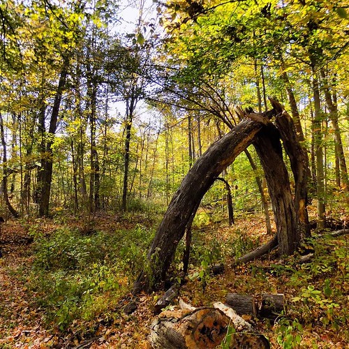
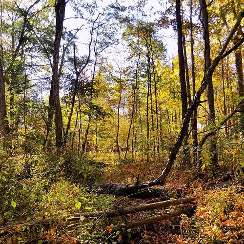
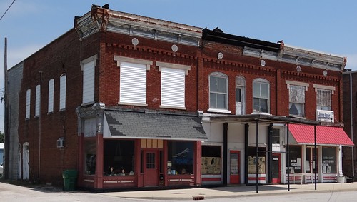
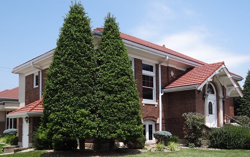
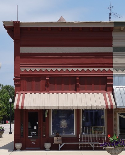
Elevation of County Rd W, Coal City, IN, USA
Location: United States > Indiana > Owen County > Jefferson Township > Coal City >
Longitude: -87.047413
Latitude: 39.245374
Elevation: 194m / 636feet
Barometric Pressure: 99KPa
Related Photos:
Topographic Map of County Rd W, Coal City, IN, USA
Find elevation by address:

Places near County Rd W, Coal City, IN, USA:
Coal City
County Rd W, Coal City, IN, USA
E County Rd S, Clay City, IN, USA
IN-, Coal City, IN, USA
Daggett
Denmark Rd, Coal City, IN, USA
County Rd W, Clay City, IN, USA
Clay City
Marion Township
Harrison Township
Smithville Rd, Bowling Green, IN, USA
Jefferson Township
Patricksburg
Hubble St, Bowling Green, IN, USA
Arney
6300 Pleasant Bethel Rd
Saline City
IN-46, Bowling Green, IN, USA
Clay County
Boles Rd, Bowling Green, IN, USA
Recent Searches:
- Elevation of Congressional Dr, Stevensville, MD, USA
- Elevation of Bellview Rd, McLean, VA, USA
- Elevation of Stage Island Rd, Chatham, MA, USA
- Elevation of Shibuya Scramble Crossing, 21 Udagawacho, Shibuya City, Tokyo -, Japan
- Elevation of Jadagoniai, Kaunas District Municipality, Lithuania
- Elevation of Pagonija rock, Kranto 7-oji g. 8"N, Kaunas, Lithuania
- Elevation of Co Rd 87, Jamestown, CO, USA
- Elevation of Tenjo, Cundinamarca, Colombia
- Elevation of Côte-des-Neiges, Montreal, QC H4A 3J6, Canada
- Elevation of Bobcat Dr, Helena, MT, USA
