Elevation of IN-, Coal City, IN, USA
Location: United States > Indiana > Owen County > Jefferson Township > Coal City >
Longitude: -87.037623
Latitude: 39.216416
Elevation: 195m / 640feet
Barometric Pressure: 99KPa
Elevation Map:
Satellite Map:
Related Photos:
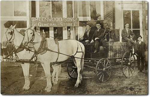
Greenwood and Sons General Store, Clay City, Indiana
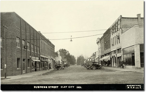
Main Street looking north, Clay City, Indiana
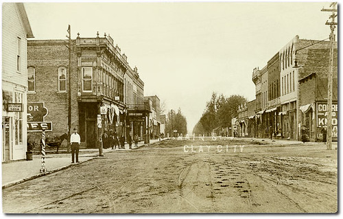
Main Street, Clay City, Indiana
Point Commerce Covered Bridge, Worthington, Indiana, close-up section
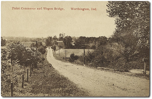
Point Commerce Covered Bridge, Worthington, Indiana
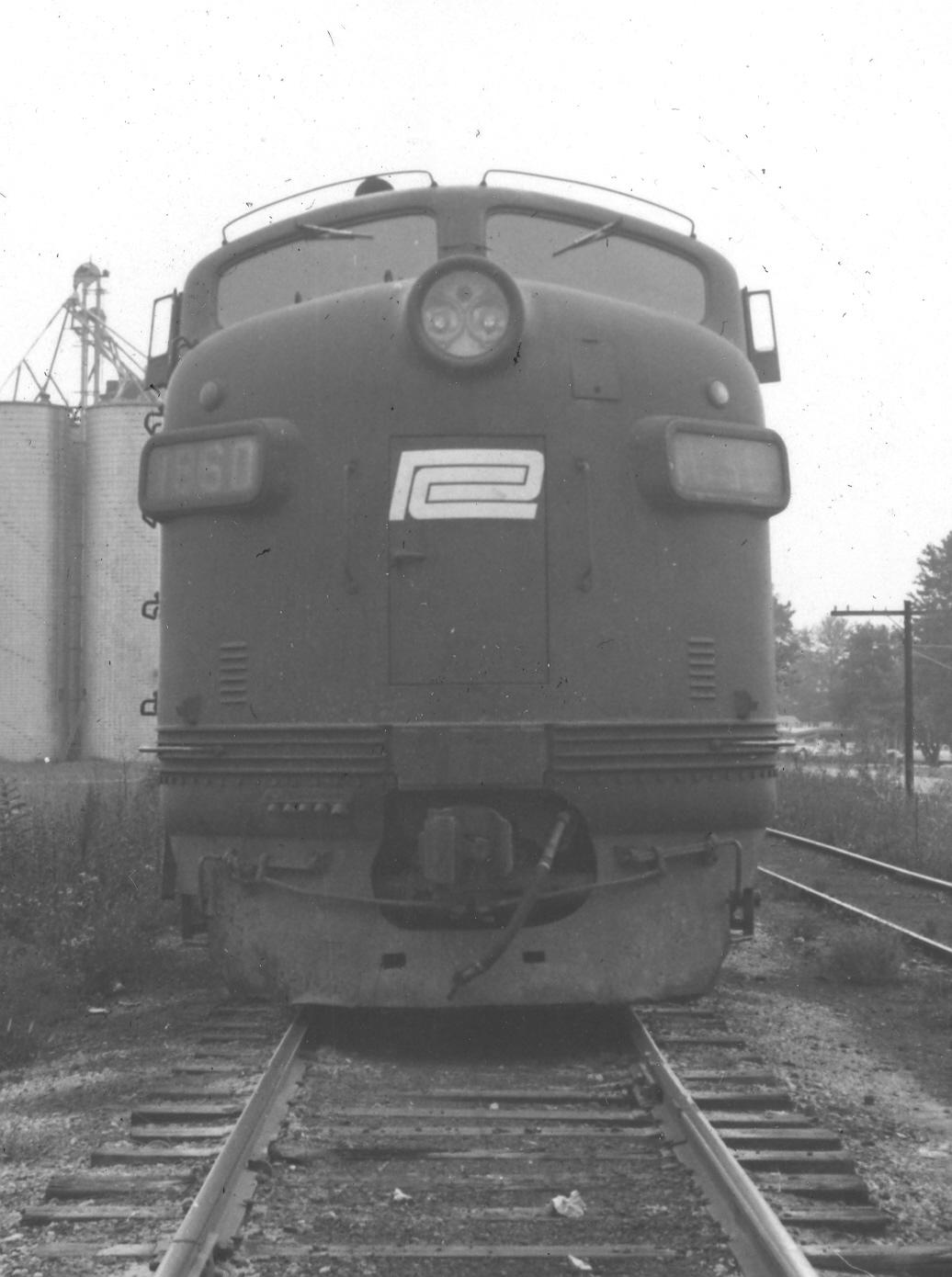
PC 1860 10-14-72 2

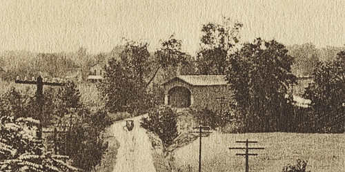
Sunset near Freedom
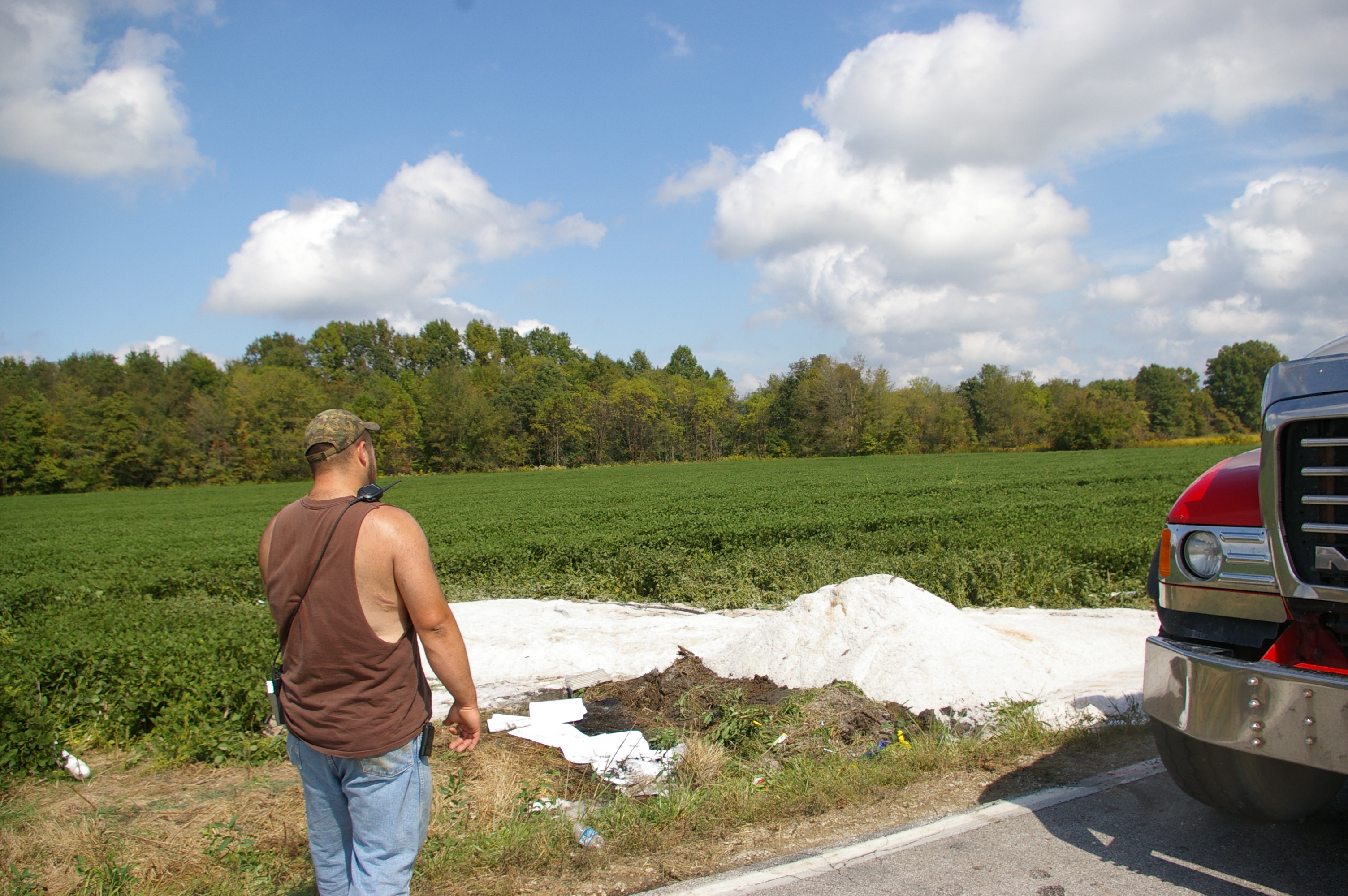
09-21-2009 Hazmat Response
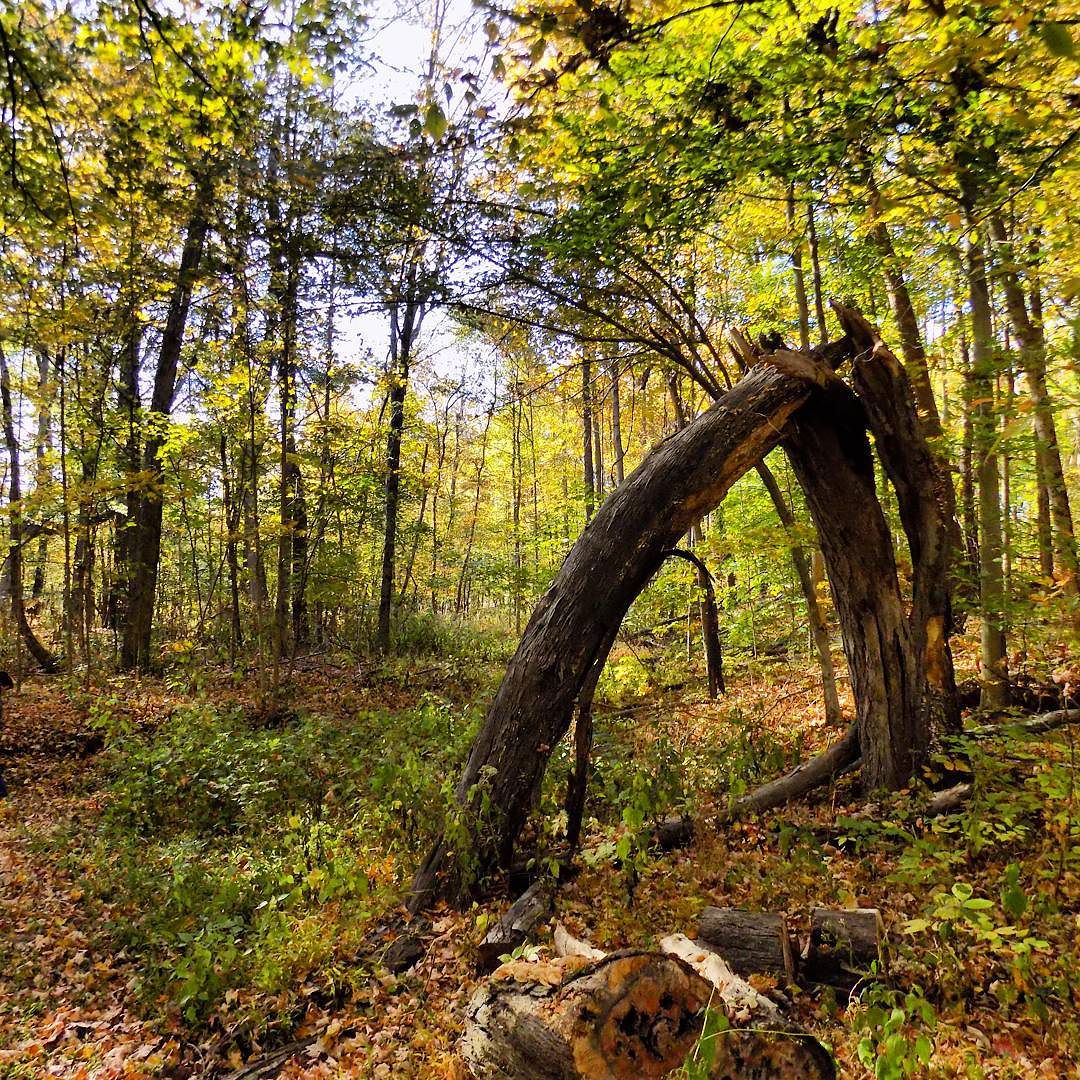
I have a lot of #nature pictures... This one's just bending over backwards for you to see it.
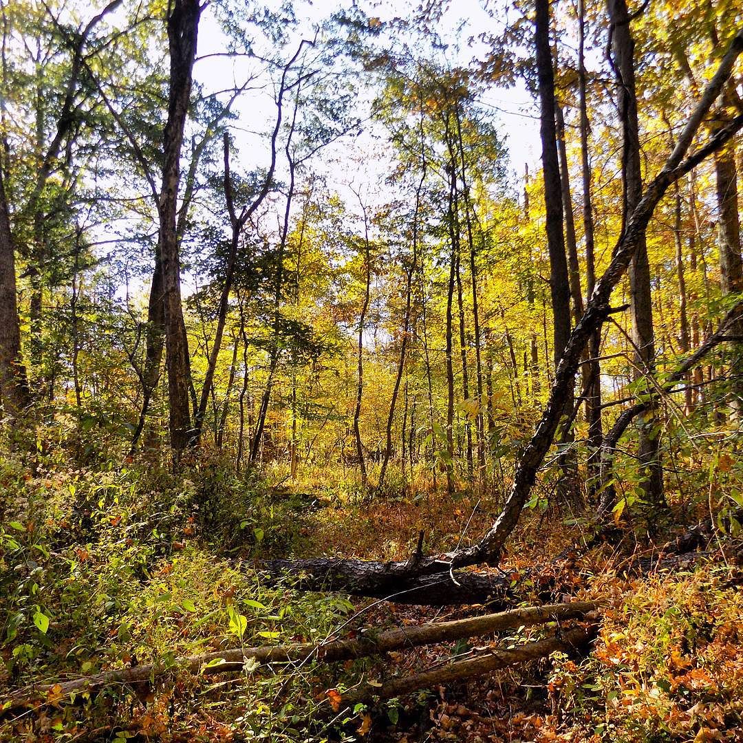
#nature leaves and sticks and trees and dirt
Topographic Map of IN-, Coal City, IN, USA
Find elevation by address:

Places near IN-, Coal City, IN, USA:
Daggett
Coal City
County Rd W, Coal City, IN, USA
3051 County Rd 1500 W
E County Rd S, Clay City, IN, USA
Denmark Rd, Coal City, IN, USA
Jefferson Township
County Rd W, Clay City, IN, USA
Marion Township
Clay City
Harrison Township
Smithville Rd, Bowling Green, IN, USA
Arney
6300 Pleasant Bethel Rd
Hubble St, Bowling Green, IN, USA
Patricksburg
IN-46, Bowling Green, IN, USA
Freedom
Harrison Memorial Hwy, Freedom, IN, USA
Lafayette Township
Recent Searches:
- Elevation of Hercules Dr, Colorado Springs, CO, USA
- Elevation of Szlak pieszy czarny, Poland
- Elevation of Griffing Blvd, Biscayne Park, FL, USA
- Elevation of Kreuzburger Weg 13, Düsseldorf, Germany
- Elevation of Gateway Blvd SE, Canton, OH, USA
- Elevation of East W.T. Harris Boulevard, E W.T. Harris Blvd, Charlotte, NC, USA
- Elevation of West Sugar Creek, Charlotte, NC, USA
- Elevation of Wayland, NY, USA
- Elevation of Steadfast Ct, Daphne, AL, USA
- Elevation of Lagasgasan, X+CQH, Tiaong, Quezon, Philippines