Elevation of Saline City, IN, USA
Location: United States > Indiana > Clay County > Sugar Ridge Township > Center Point >
Longitude: -87.132236
Latitude: 39.365319
Elevation: 175m / 574feet
Barometric Pressure: 99KPa
Elevation Map:
Satellite Map:
Related Photos:

Cows. Fog. Barn.

Cattails in the morning
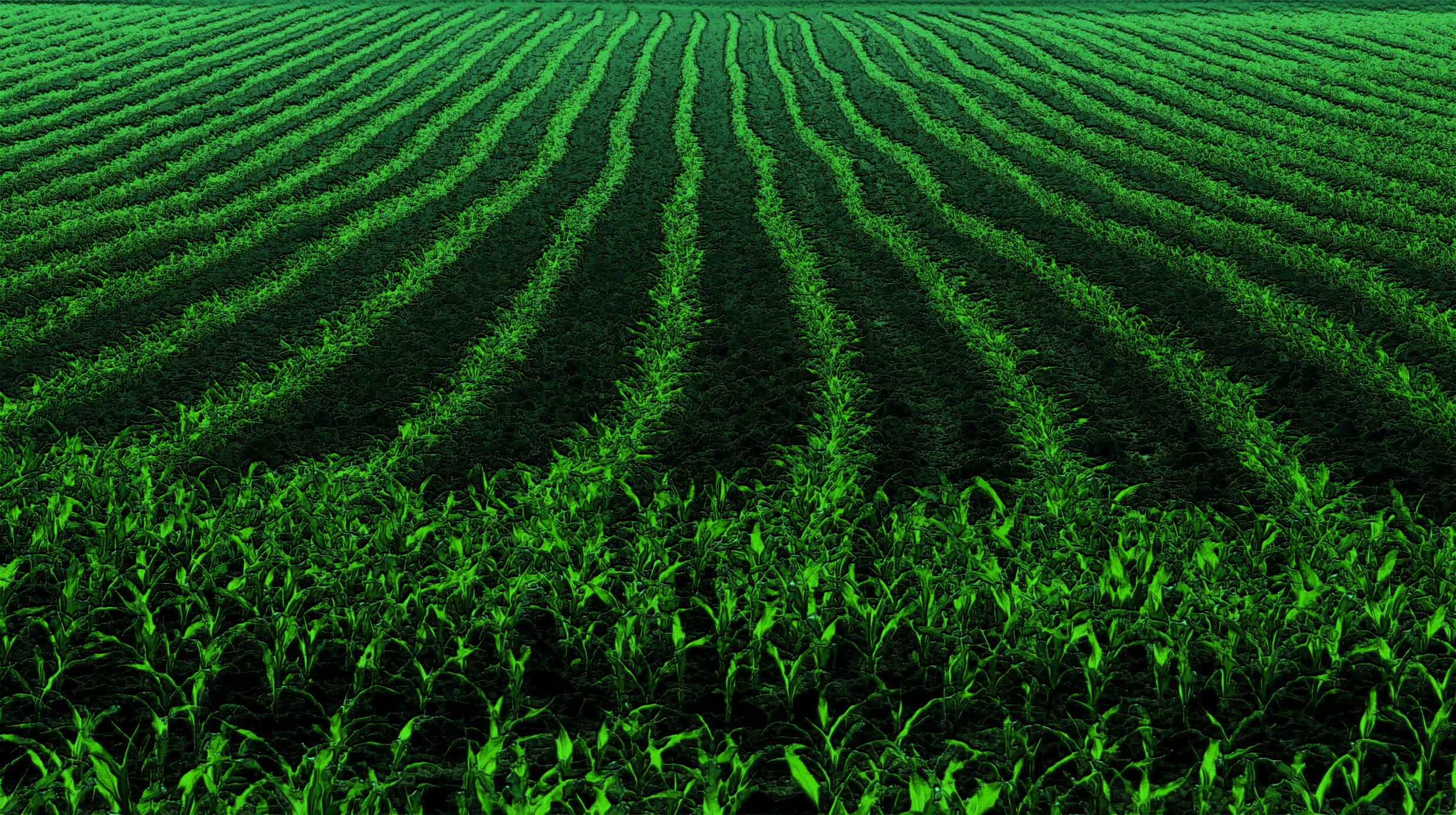
early mornin light on the cornfield

Truck_072611_LR-78.jpg
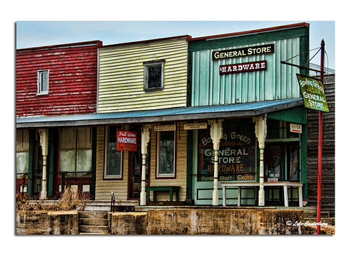
Store Fronts
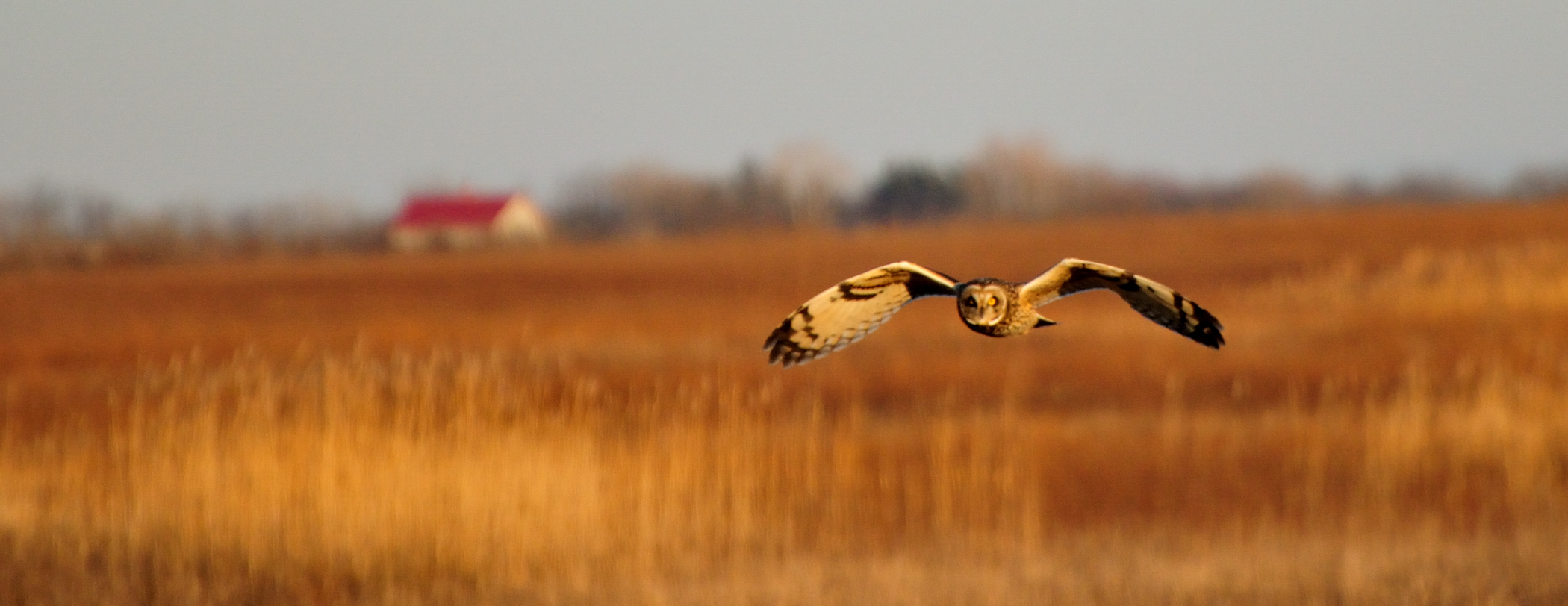
Short-eared owl
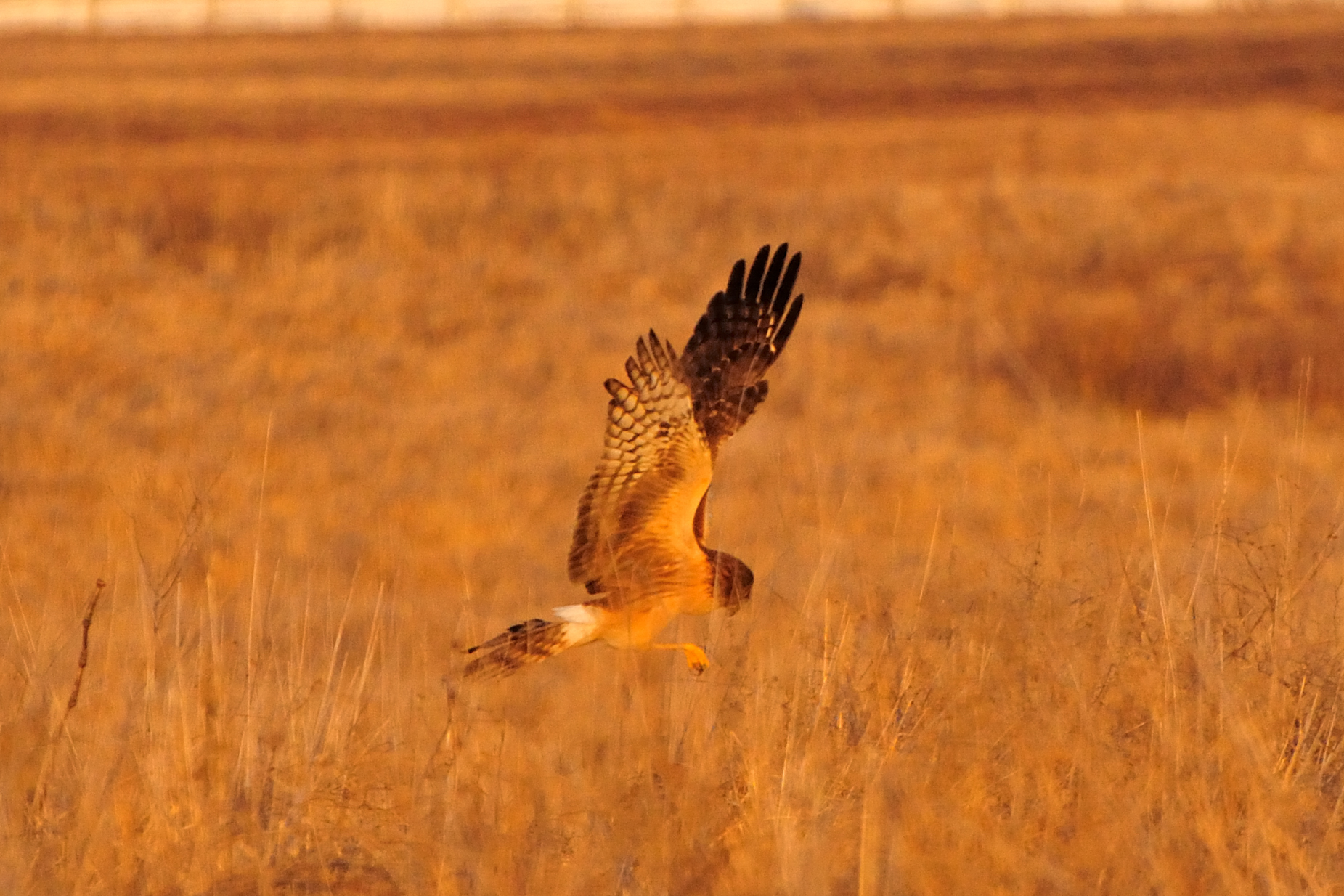
Northern Harrier
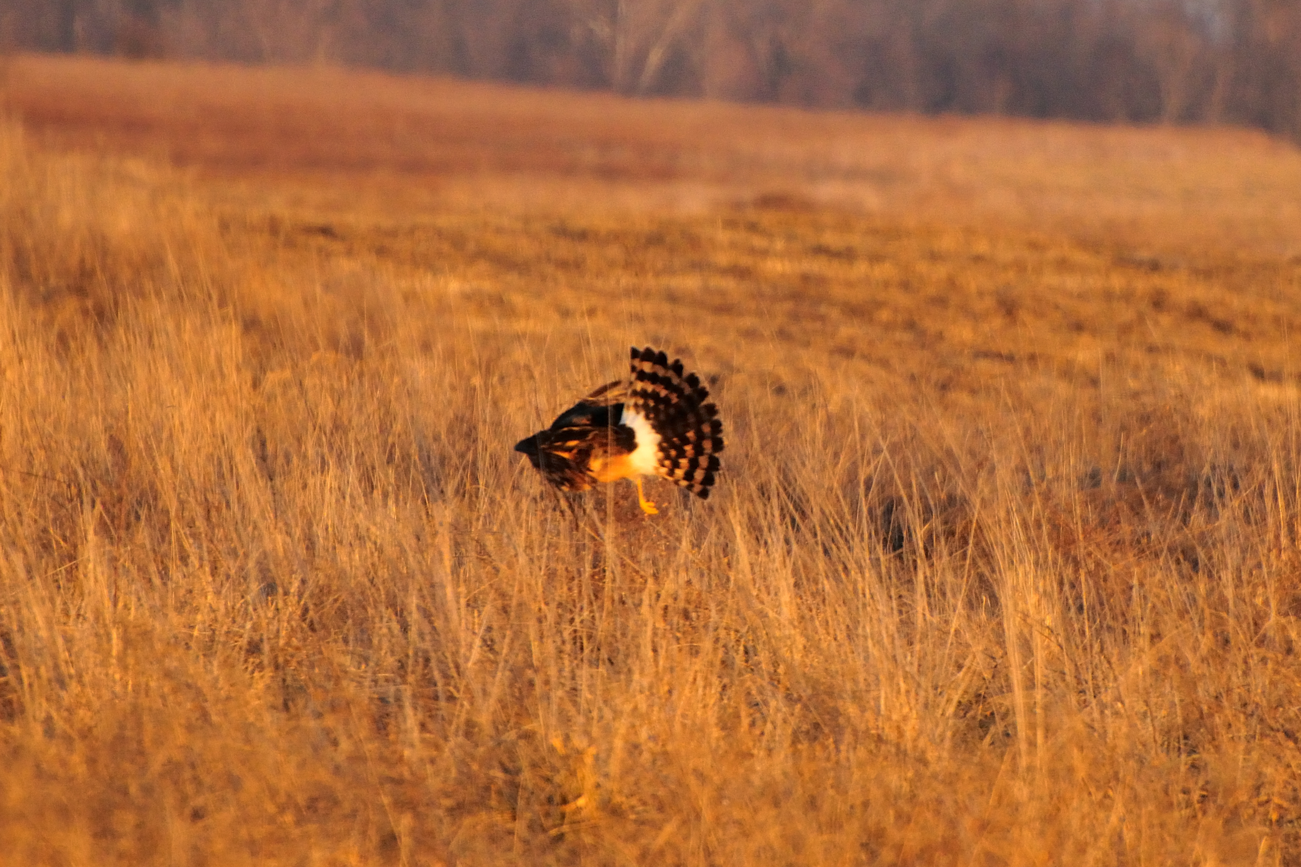
Northern Harrier
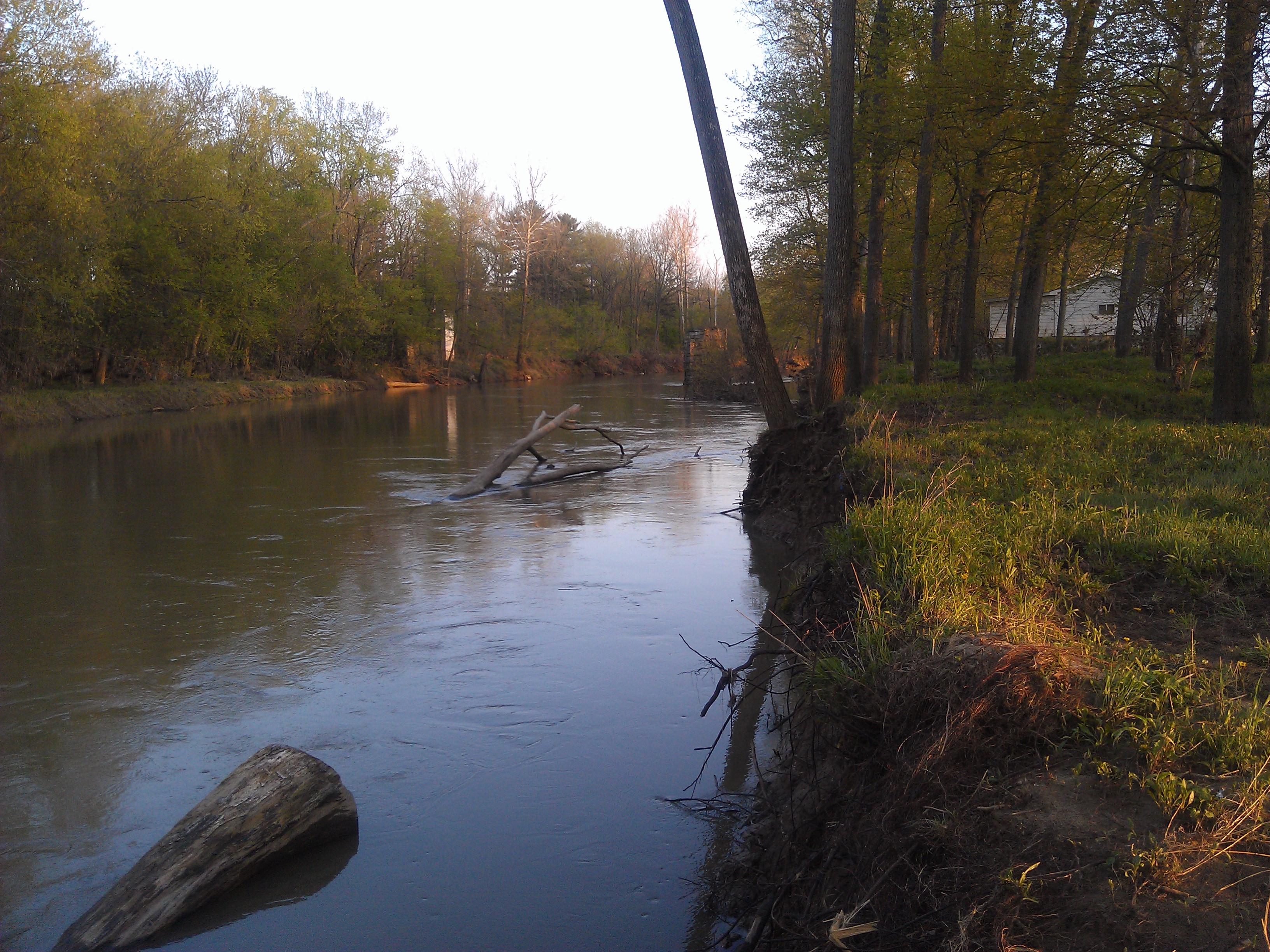
Eel River- Clay County IN

The End of the Chinook Owls?
TheBigCats 018
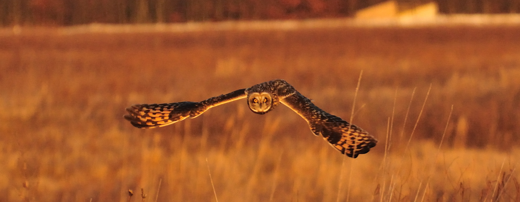
Short-eared owl

Start of the Open Race
Topographic Map of Saline City, IN, USA
Find elevation by address:

Places near Saline City, IN, USA:
Clay County
Clay City
Harrison Township
County Rd W, Clay City, IN, USA
Smithville Rd, Bowling Green, IN, USA
E County Rd S, Clay City, IN, USA
Denmark Rd, Coal City, IN, USA
Marion Township
3051 County Rd 1500 W
Coal City
County Rd W, Coal City, IN, USA
IN-, Coal City, IN, USA
Daggett
Patricksburg
Hubble St, Bowling Green, IN, USA
IN-46, Bowling Green, IN, USA
Boles Rd, Bowling Green, IN, USA
Jefferson Township
Morgan Township
Arney
Recent Searches:
- Elevation of Steadfast Ct, Daphne, AL, USA
- Elevation of Lagasgasan, X+CQH, Tiaong, Quezon, Philippines
- Elevation of Rojo Ct, Atascadero, CA, USA
- Elevation of Flagstaff Drive, Flagstaff Dr, North Carolina, USA
- Elevation of Avery Ln, Lakeland, FL, USA
- Elevation of Woolwine, VA, USA
- Elevation of Lumagwas Diversified Farmers Multi-Purpose Cooperative, Lumagwas, Adtuyon, RV32+MH7, Pangantucan, Bukidnon, Philippines
- Elevation of Homestead Ridge, New Braunfels, TX, USA
- Elevation of Orchard Road, Orchard Rd, Marlborough, NY, USA
- Elevation of 12 Hutchinson Woods Dr, Fletcher, NC, USA