Elevation of County Road P-, Co Rd P-, Squires, MO, USA
Location: United States > Missouri > Douglas County >
Longitude: -92.593267
Latitude: 36.8675666
Elevation: 379m / 1243feet
Barometric Pressure: 97KPa
Elevation Map:
Satellite Map:
Related Photos:

JUST TACKS
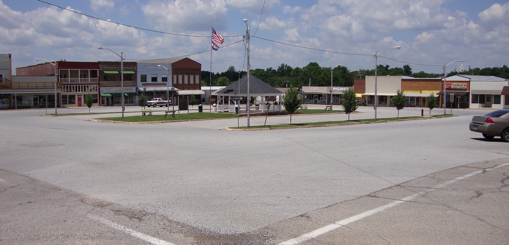
Downtown Ava, Missouri
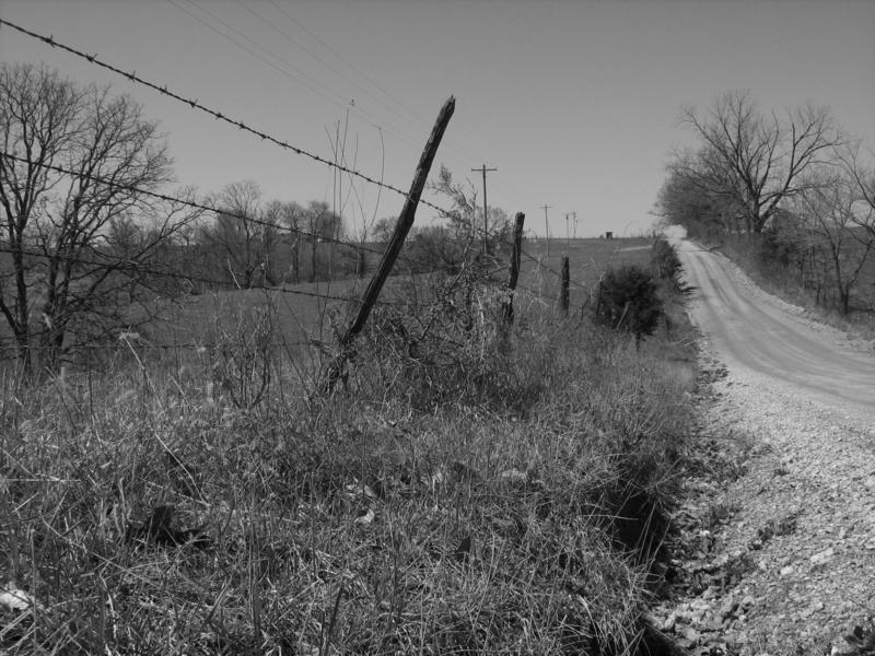
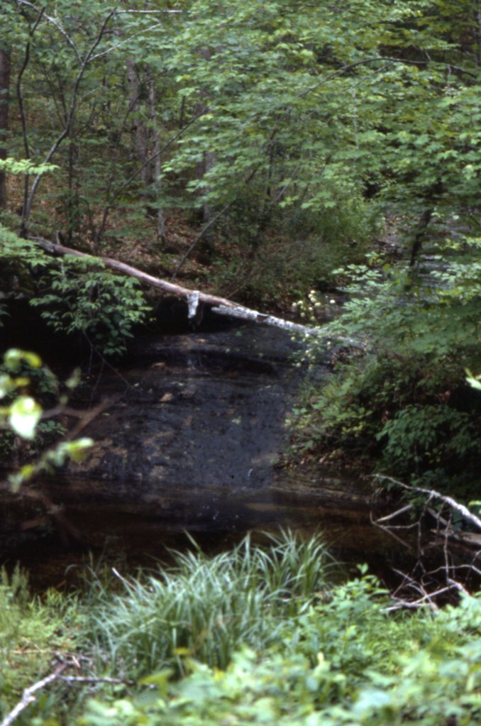
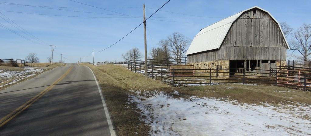
LONESOME ROAD
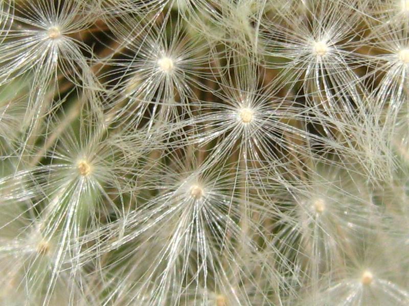
DANDELION CLOCK
1981 01 jan 26
1981 05 may ii _0001
1981 01 jan ii 12
1981 01 jan 23
1981 01 jan ii 33
1981 05 may i _0012

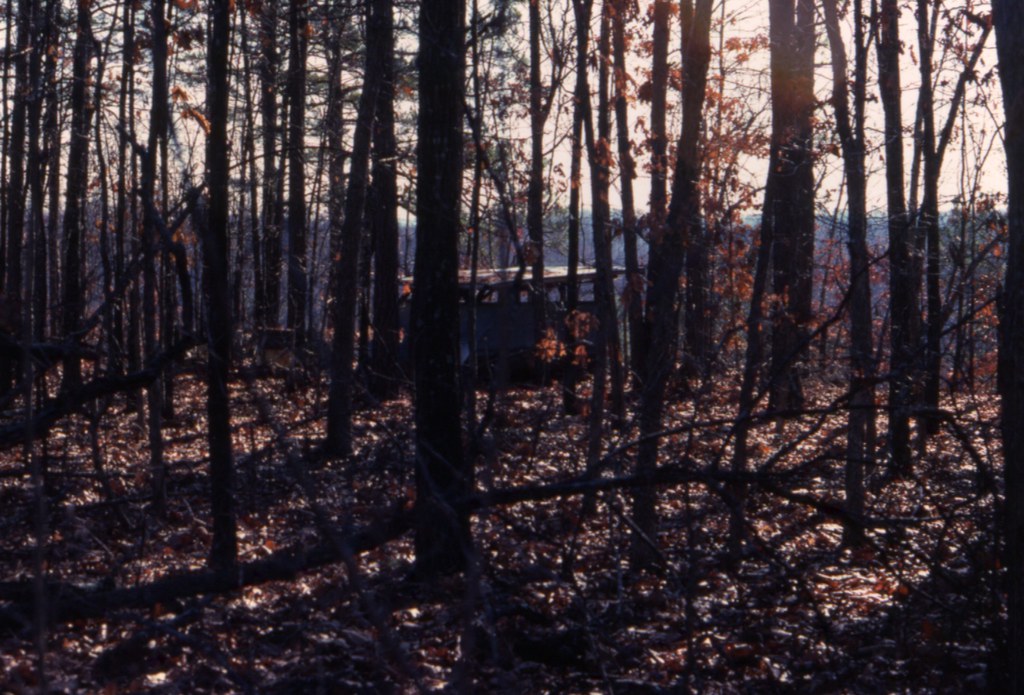
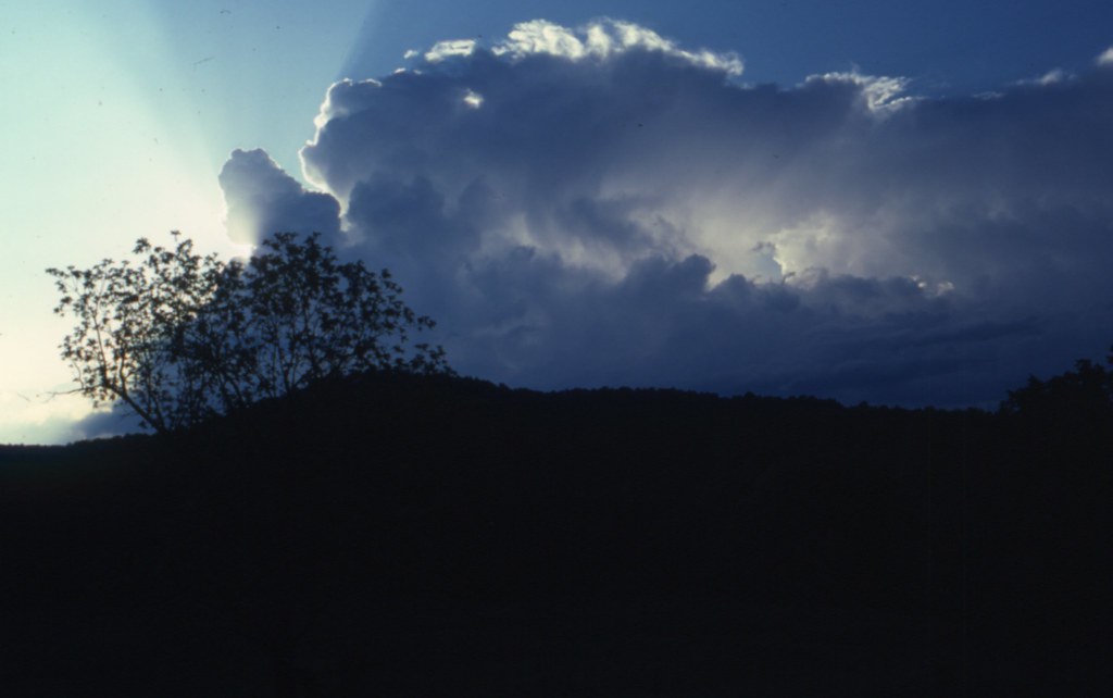
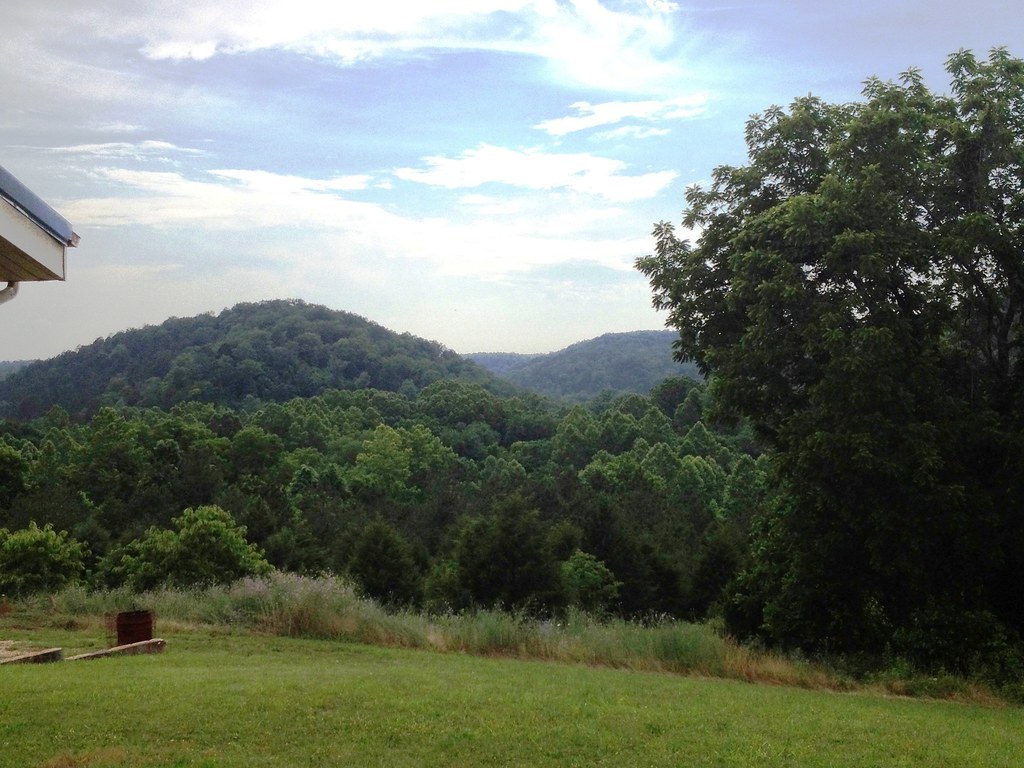
SUNSET FROM THE DRIVEWAY
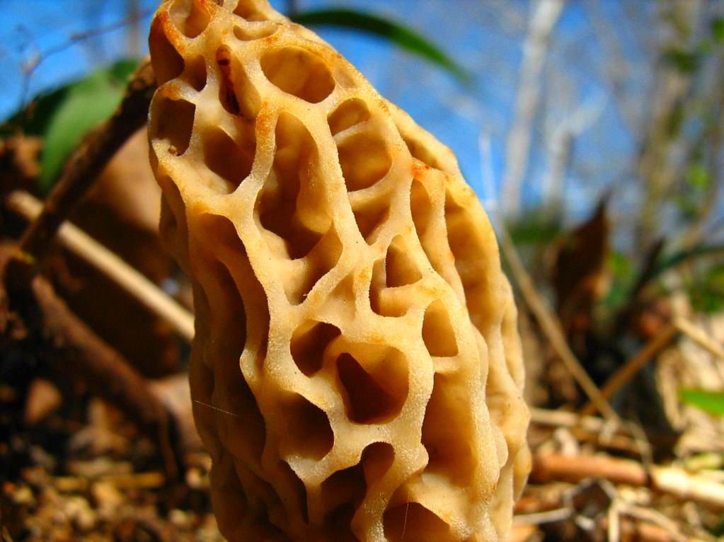
MOREL MUSHROOM
b19 IMG_2509 ac
1981 05 may i _0003 a ac
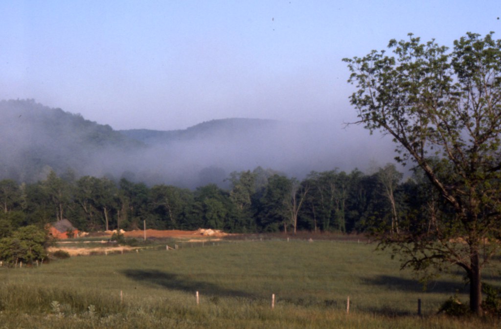
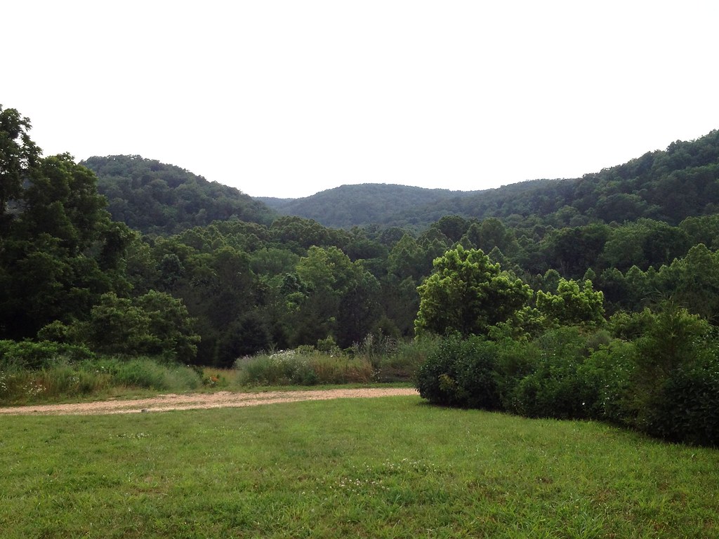
Ozarks Farm (Ozark County, Missouri)
b17 IMG_2507 ac
Topographic Map of County Road P-, Co Rd P-, Squires, MO, USA
Find elevation by address:

Places near County Road P-, Co Rd P-, Squires, MO, USA:
County Road P-305
Walls Township
Squires
County Road 417
Wasola
Spring Creek Township
Noble Township
808 Elm Ave
Ava
Benton Township
Northwest 3rd Avenue
Douglas County
Barren Fork Township
320 Stone Mountain Dr
MO-76, Norwood, MO, USA
County Road Y-521
401 County Rd 113
Nottinghill
County Road 113
County Road 145
Recent Searches:
- Elevation of Congressional Dr, Stevensville, MD, USA
- Elevation of Bellview Rd, McLean, VA, USA
- Elevation of Stage Island Rd, Chatham, MA, USA
- Elevation of Shibuya Scramble Crossing, 21 Udagawacho, Shibuya City, Tokyo -, Japan
- Elevation of Jadagoniai, Kaunas District Municipality, Lithuania
- Elevation of Pagonija rock, Kranto 7-oji g. 8"N, Kaunas, Lithuania
- Elevation of Co Rd 87, Jamestown, CO, USA
- Elevation of Tenjo, Cundinamarca, Colombia
- Elevation of Côte-des-Neiges, Montreal, QC H4A 3J6, Canada
- Elevation of Bobcat Dr, Helena, MT, USA