Elevation of Ava, MO, USA
Location: United States > Missouri > Douglas County > Benton Township >
Longitude: -92.660445
Latitude: 36.951999
Elevation: 390m / 1280feet
Barometric Pressure: 97KPa
Elevation Map:
Satellite Map:
Related Photos:

LITTLE LADY

JUST TACKS

CAMO MOTH
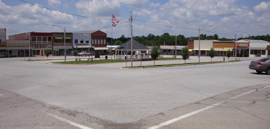
Downtown Ava, Missouri
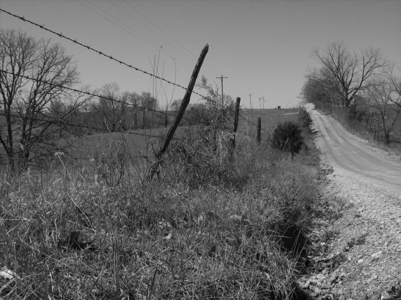
LONESOME ROAD

DANDELION CLOCK

Bryant Creek near Assumption Abey

Bryant Creek near Assumption Abey

SUNSET FROM THE DRIVEWAY
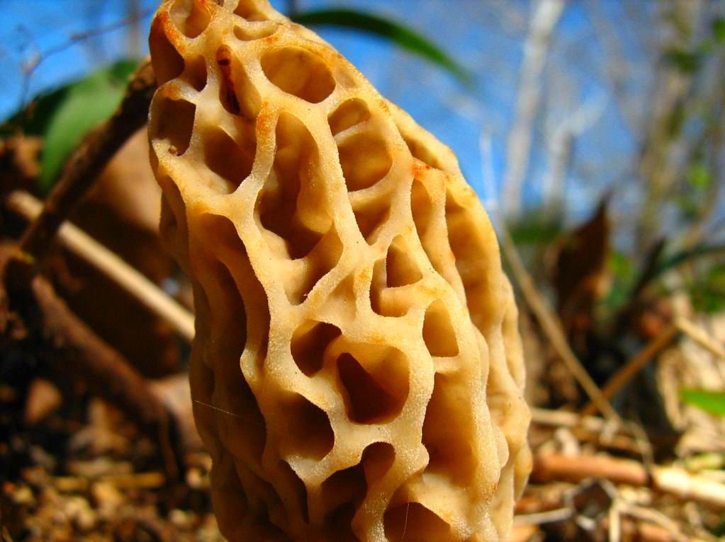
MOREL MUSHROOM
Topographic Map of Ava, MO, USA
Find elevation by address:

Places in Ava, MO, USA:
Places near Ava, MO, USA:
808 Elm Ave
Northwest 3rd Avenue
Benton Township
County Road Y-521
Spring Creek Township
County Road 417
Squires
County Road P-305
County Road P-305
Walls Township
Washington Township
2262 Peewee Crossing Rd
Douglas County
E Commercial St, Mansfield, MO, USA
Mansfield
Pleasant Valley Township
Wasola
Noble Township
2694 Mountain Rd
Finley Township
Recent Searches:
- Elevation of Hickory St, Greenville, NC, USA
- Elevation of Poplar Ln, Guffey, CO, USA
- Elevation of Falling Spring Rd, Clyde, NC, USA
- Elevation of Kingsfield St, Castle Rock, CO, USA
- Elevation of AMELIA CT HSE, VA, USA
- Elevation of Abbey Dr, Virginia Beach, VA, USA
- Elevation of Brooks Lp, Spearfish, SD, USA
- Elevation of Panther Dr, Maggie Valley, NC, USA
- Elevation of Jais St - Wadi Shehah - Ras al Khaimah - United Arab Emirates
- Elevation of Shawnee Avenue, Shawnee Ave, Easton, PA, USA