Elevation of Washington Township, MO, USA
Location: United States > Missouri > Douglas County >
Longitude: -92.797901
Latitude: 36.9427646
Elevation: 383m / 1257feet
Barometric Pressure: 97KPa
Elevation Map:
Satellite Map:
Related Photos:

LITTLE LADY

JUST TACKS

CAMO MOTH
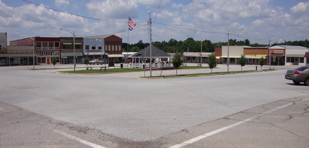
Downtown Ava, Missouri
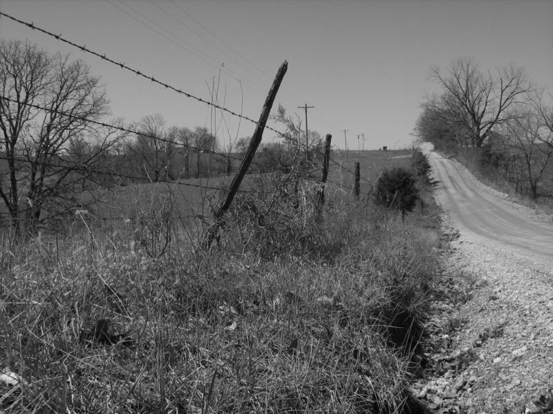
LONESOME ROAD

DANDELION CLOCK

Bryant Creek near Assumption Abey

Bryant Creek near Assumption Abey

SUNSET FROM THE DRIVEWAY
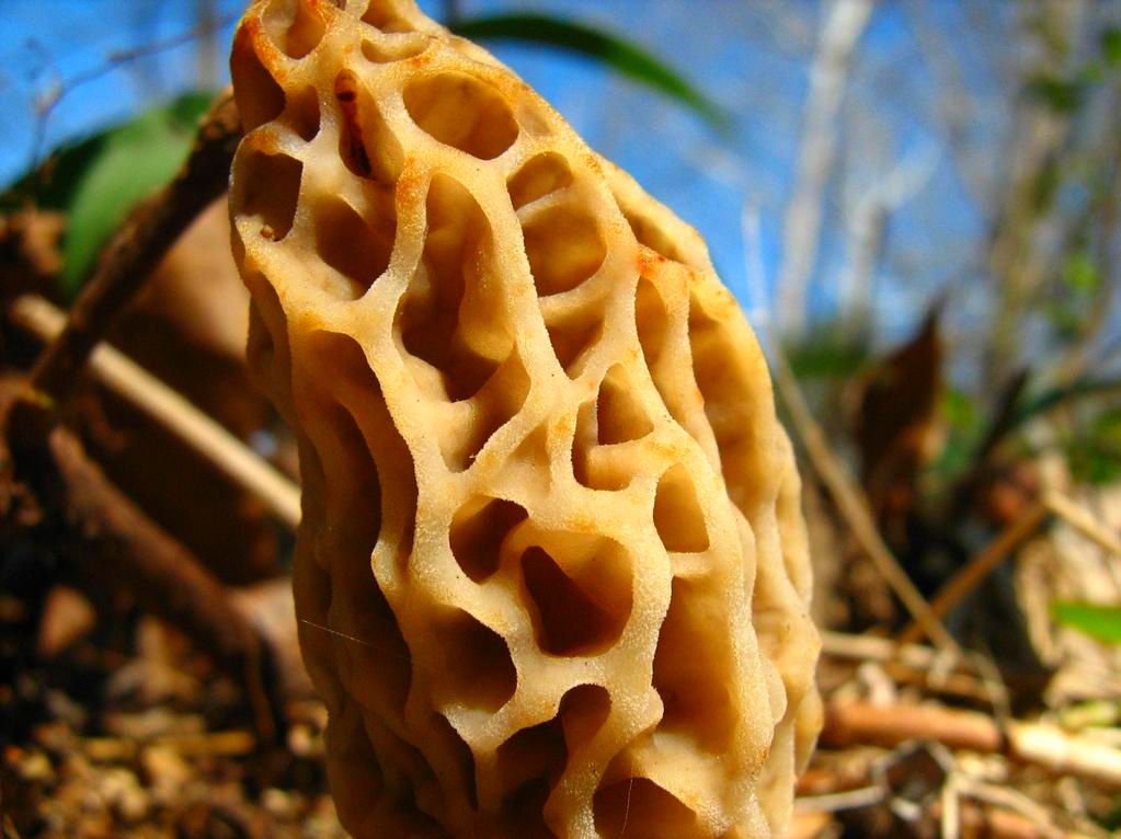
MOREL MUSHROOM
Topographic Map of Washington Township, MO, USA
Find elevation by address:

Places in Washington Township, MO, USA:
Places near Washington Township, MO, USA:
County Road Y-521
Benton Township
Northwest 3rd Avenue
Ava
808 Elm Ave
Spring Creek Township
Finley Township
2262 Peewee Crossing Rd
County Road 417
Squires
Seymour
226 N Main St
Walls Township
County Road P-305
County Road P-305
389 Old Jericho Rd
489 Old Jericho Rd
489 Old Jericho Rd
1268 Winningham Rd
1268 Winningham Rd
Recent Searches:
- Elevation of Lytham Ln, Katy, TX, USA
- Elevation of Tater Hill, Oklahoma, USA
- Elevation of NY-, Friendship, NY, USA
- Elevation of 64 Danakas Dr, Winnipeg, MB R2C 5N7, Canada
- Elevation of 4 Vale Rd, Sheffield S3 9QX, UK
- Elevation of Keene Point Drive, Keene Point Dr, Grant, AL, USA
- Elevation of State St, Zanesville, OH, USA
- Elevation of Austin Stone Dr, Haslet, TX, USA
- Elevation of Bydgoszcz, Poland
- Elevation of Bydgoszcz, Poland