Elevation of Barren Fork Township, MO, USA
Location: United States > Missouri > Ozark County >
Longitude: -92.519793
Latitude: 36.7338315
Elevation: 348m / 1142feet
Barometric Pressure: 97KPa
Elevation Map:
Satellite Map:
Related Photos:
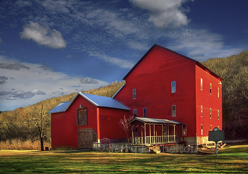
Rockbridge Grist Mill

Rockbridge Mill, Ozark County

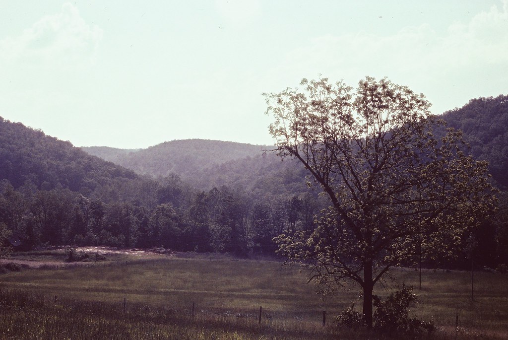
Ozarks Farm (Ozark County, Missouri)

1981 05 may ii _0009 wp1

1981 05 may 01

1981 05 may ii _0001

1980 08 aug 16 bal1

1981 05 may i _0012

1981 05 may ii _0018 ac
0462959-R1-E003

1981 01 jan ii 33

1981 05 may i _0003 a ac

b19 IMG_2509 ac

b17 IMG_2507 ac

1981 01 jan ii 12

b01 IMG_2502 ac

DSC03608.JPG

Dry Orchard

1981 01 jan 23

1981 01 jan 20

1981 01 jan 26
Topographic Map of Barren Fork Township, MO, USA
Find elevation by address:

Places near Barren Fork Township, MO, USA:
320 Stone Mountain Dr
401 County Rd 113
County Road 113
Wasola
Nottinghill
Noble Township
County Road 145
Nottinghill Township
1065 Co Rd 806
Walls Township
Ozark County
County Road P-305
County Road P-305
Squires
Gainesville
County Road 417
Isabella
County Road 618
Jackson Township
Pine Creek Township
Recent Searches:
- Elevation of Congressional Dr, Stevensville, MD, USA
- Elevation of Bellview Rd, McLean, VA, USA
- Elevation of Stage Island Rd, Chatham, MA, USA
- Elevation of Shibuya Scramble Crossing, 21 Udagawacho, Shibuya City, Tokyo -, Japan
- Elevation of Jadagoniai, Kaunas District Municipality, Lithuania
- Elevation of Pagonija rock, Kranto 7-oji g. 8"N, Kaunas, Lithuania
- Elevation of Co Rd 87, Jamestown, CO, USA
- Elevation of Tenjo, Cundinamarca, Colombia
- Elevation of Côte-des-Neiges, Montreal, QC H4A 3J6, Canada
- Elevation of Bobcat Dr, Helena, MT, USA