Elevation of MO-76, Norwood, MO, USA
Location: United States > Missouri >
Longitude: -92.445324
Latitude: 36.9706079
Elevation: 374m / 1227feet
Barometric Pressure: 97KPa
Elevation Map:
Satellite Map:
Related Photos:

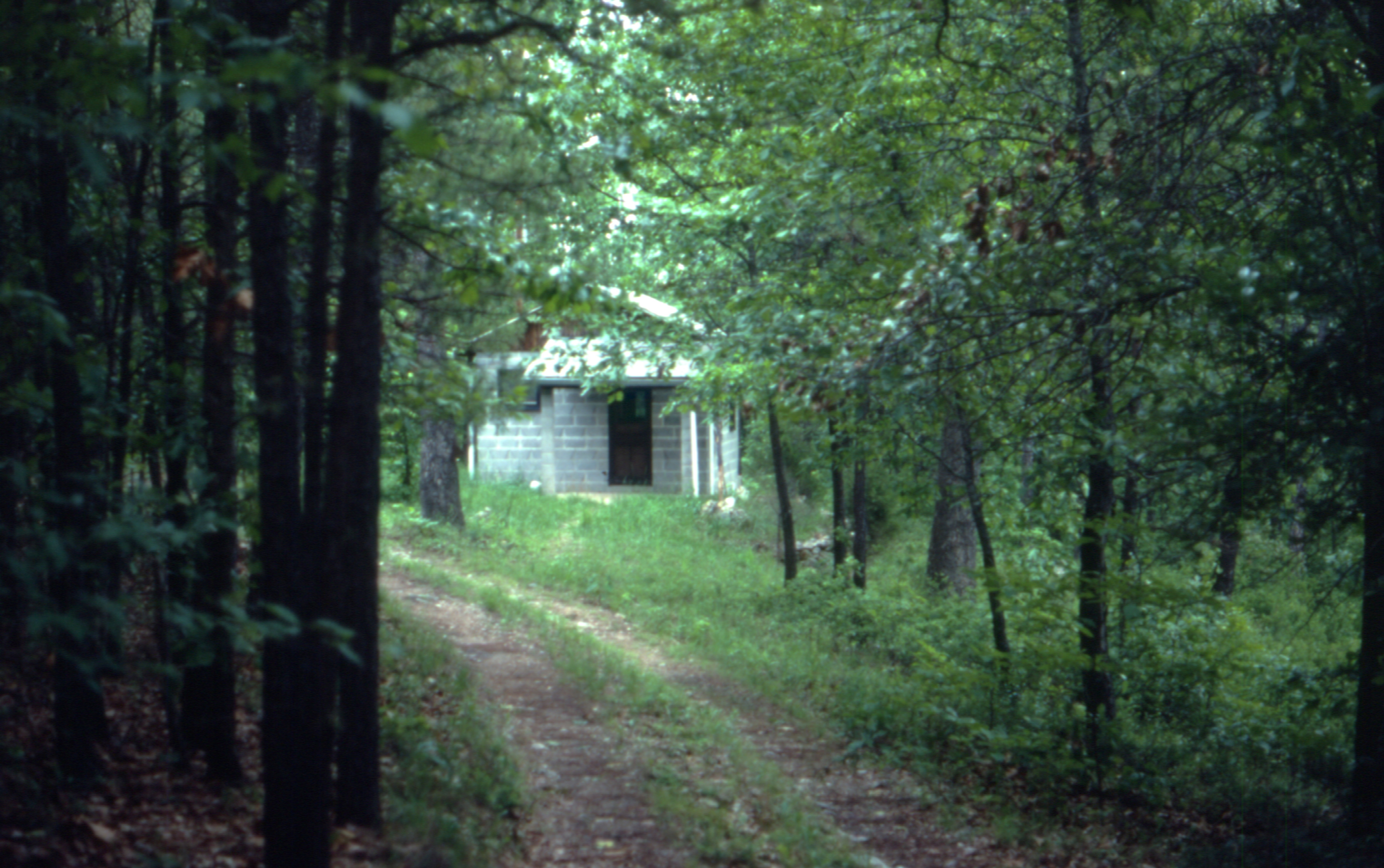
ffhhPICT0001 (107)
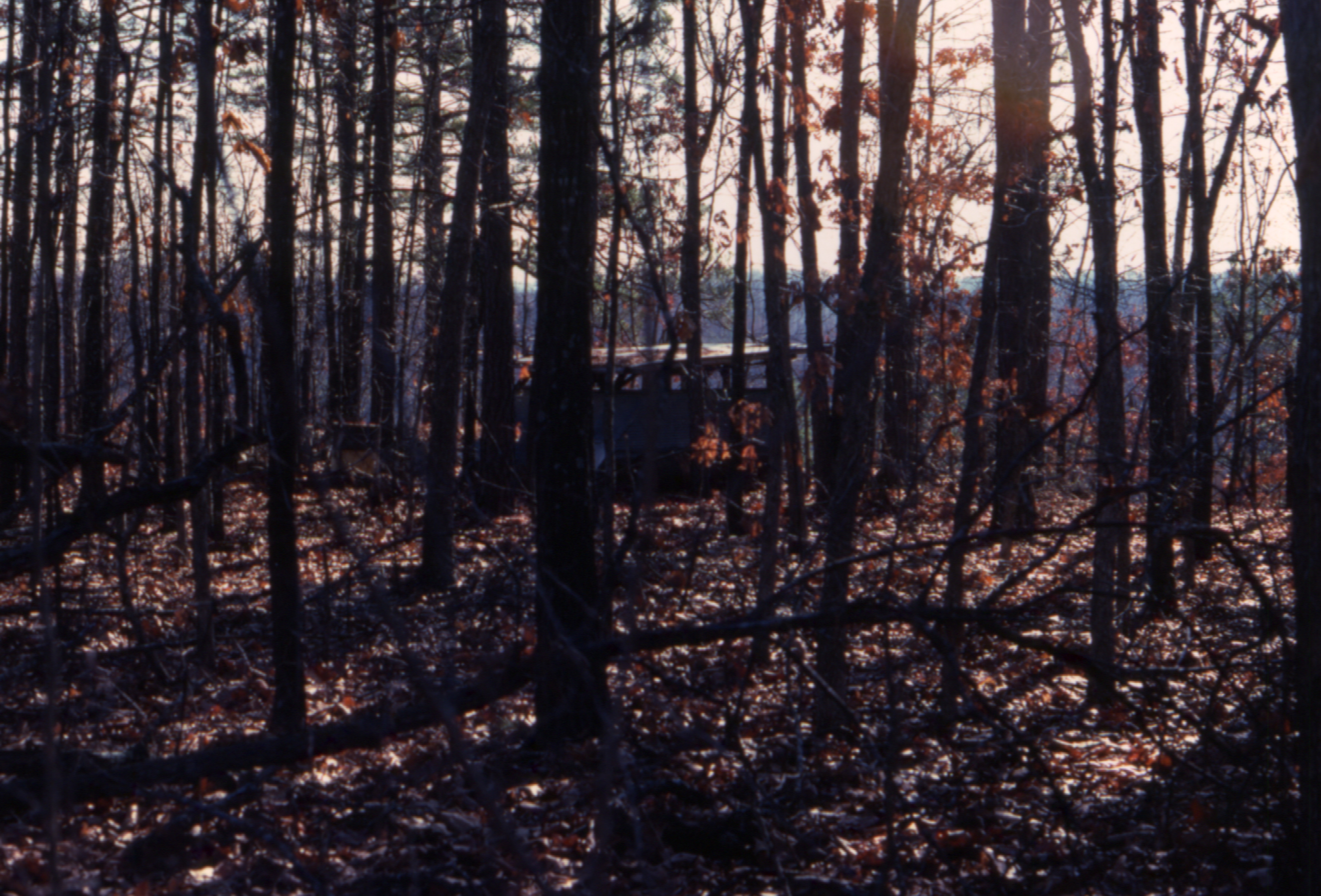
1981 01 jan 26

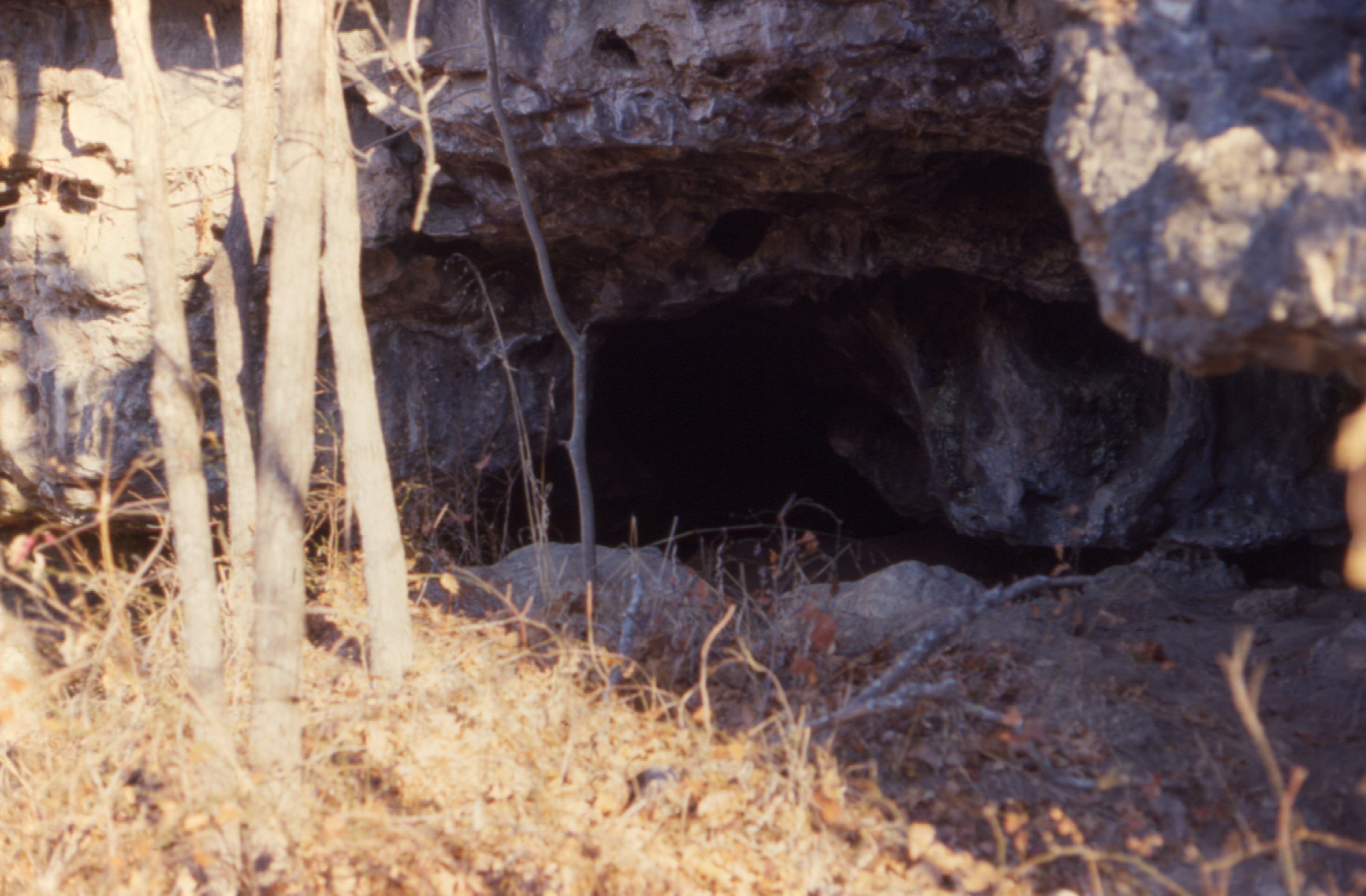
ffhhPICT0001 (103)
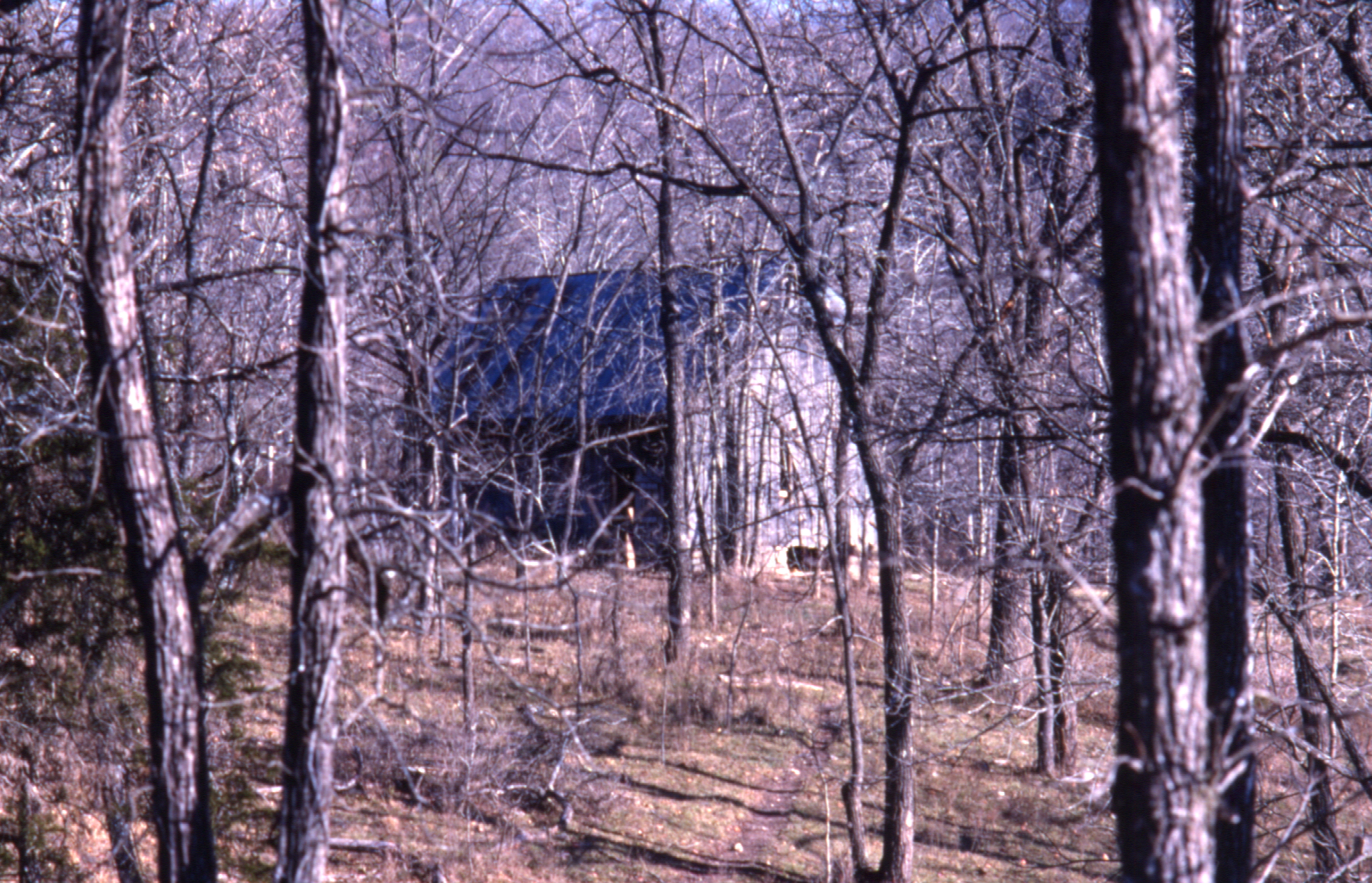
1981 01 jan 23

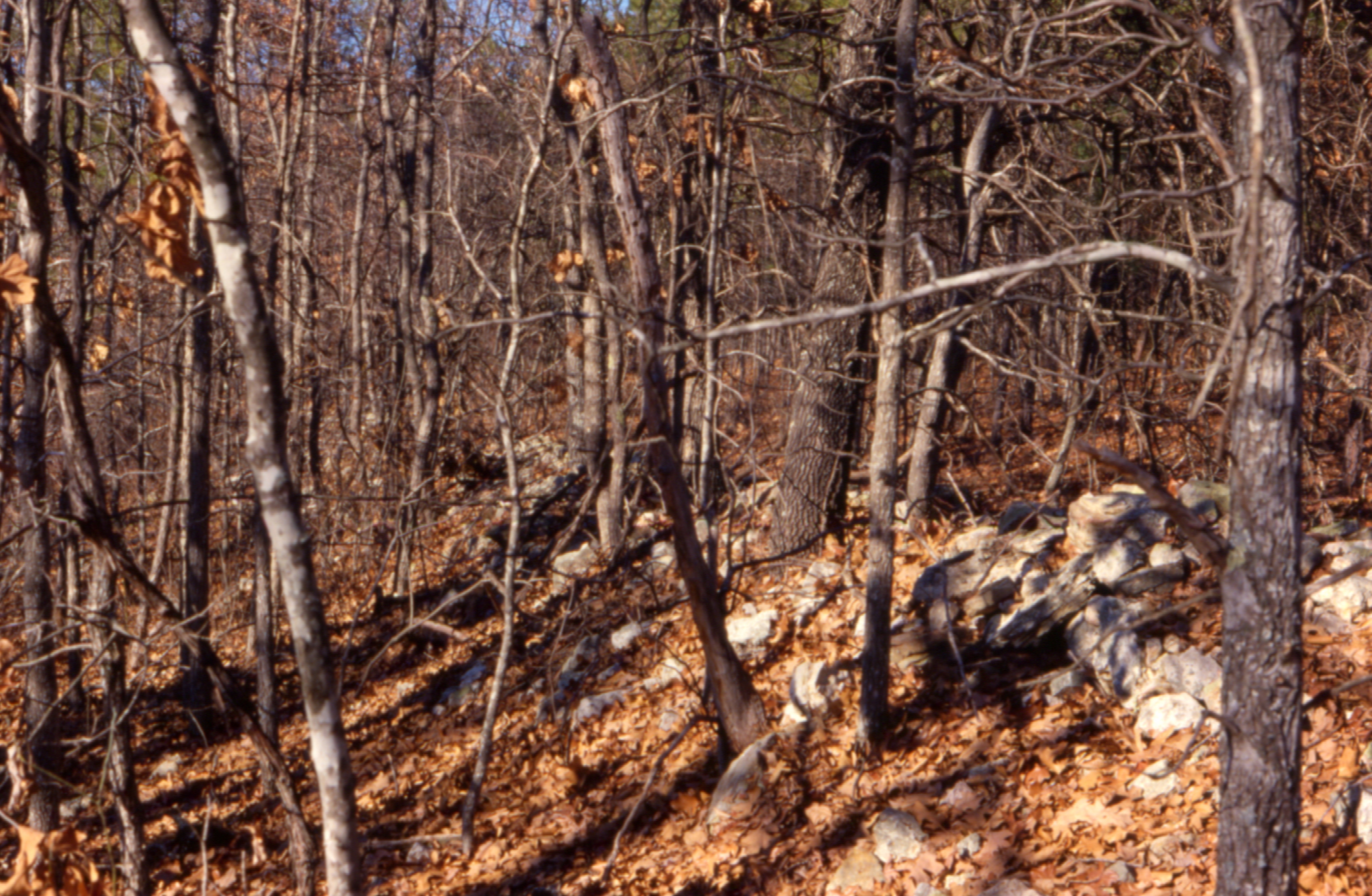
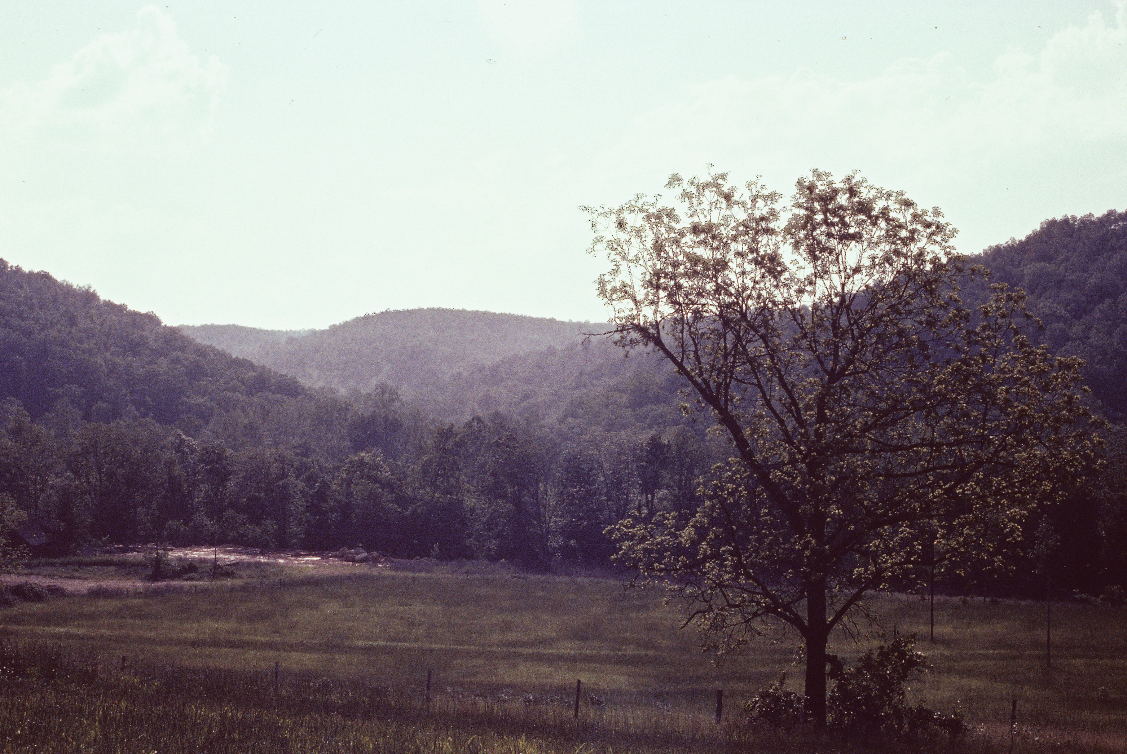
1981 05 may ii _0001
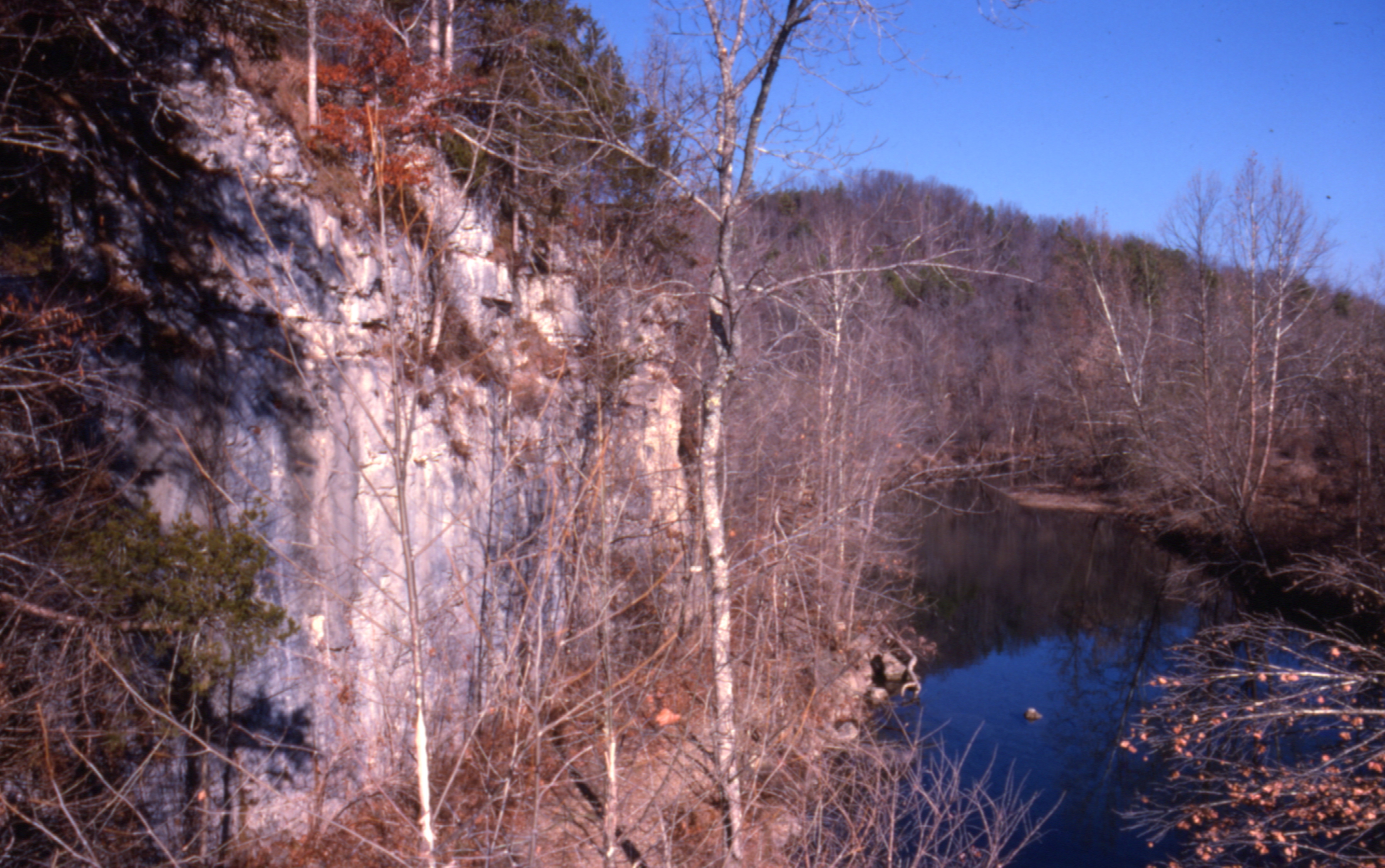
1981 01 jan ii 12

ffhhPICT0001 (54)
1981 01 jan 20
1981 05 may ii _0009 wp1

ffhhPICT0001 (52)
1981 01 jan ii 33

1981 05 may i _0012
0462959-R1-E003

ffhhPICT0001 (91)

ffhhPICT0001 (106)

1981 05 may 01

ffhhPICT0001 (74)

22,000 horsepower
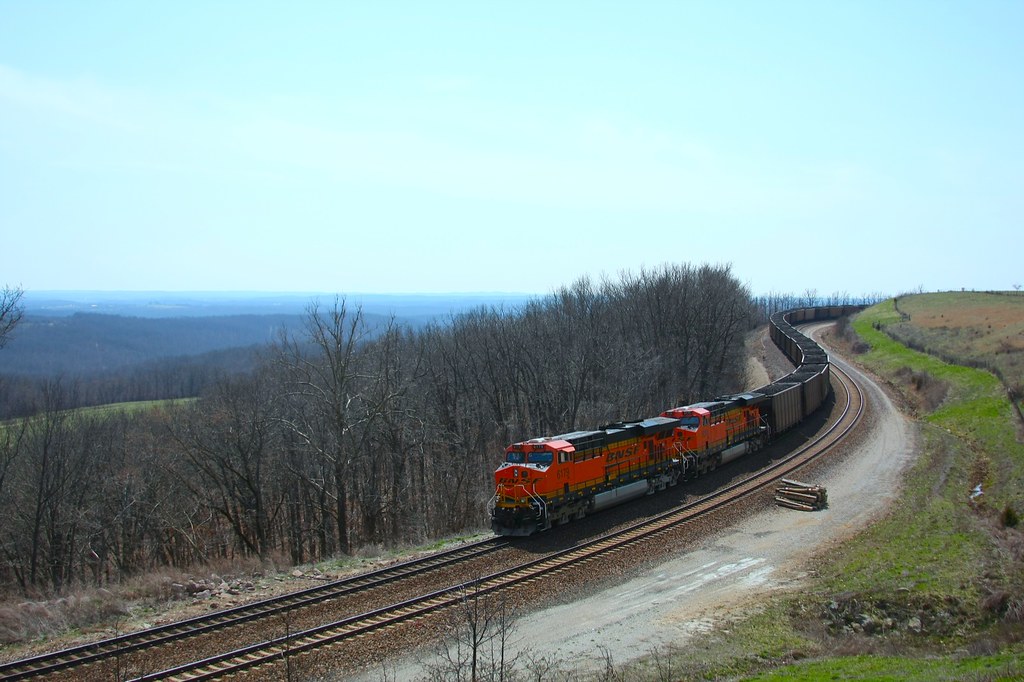
coal train hold the main
b19 IMG_2509 ac

ffhhPICT0001 (56)
Topographic Map of MO-76, Norwood, MO, USA
Find elevation by address:

Places near MO-76, Norwood, MO, USA:
Douglas County
County Road 235
Champion Township
Drury
Gentryville
Hill St, Norwood, MO, USA
Norwood
Vanzant
Clark Township
Jackson Township
Mountain Grove Township
County Road P-305
County Road P-305
Walls Township
Mansfield
E Commercial St, Mansfield, MO, USA
9310 Hwy Zz
808 Elm Ave
Bryan Township
Pleasant Valley Township
Recent Searches:
- Elevation of Bella Terra Blvd, Estero, FL, USA
- Elevation of Estates Loop, Priest River, ID, USA
- Elevation of Woodland Oak Pl, Thousand Oaks, CA, USA
- Elevation of Brownsdale Rd, Renfrew, PA, USA
- Elevation of Corcoran Ln, Suffolk, VA, USA
- Elevation of Mamala II, Sariaya, Quezon, Philippines
- Elevation of Sarangdanda, Nepal
- Elevation of 7 Waterfall Way, Tomball, TX, USA
- Elevation of SW 57th Ave, Portland, OR, USA
- Elevation of Crocker Dr, Vacaville, CA, USA