Elevation of Hill St, Norwood, MO, USA
Location: United States > Missouri > Wright County >
Longitude: -92.415250
Latitude: 37.1069333
Elevation: 464m / 1522feet
Barometric Pressure: 96KPa
Elevation Map:
Satellite Map:
Related Photos:
locke, missouri

ffhhPICT0001 (107)

ffhhPICT0001 (103)
ffhhPICT0001 (54)
ffhhPICT0001 (52)

ffhhPICT0001 (91)
ffhhPICT0001 (106)

ffhhPICT0001 (74)

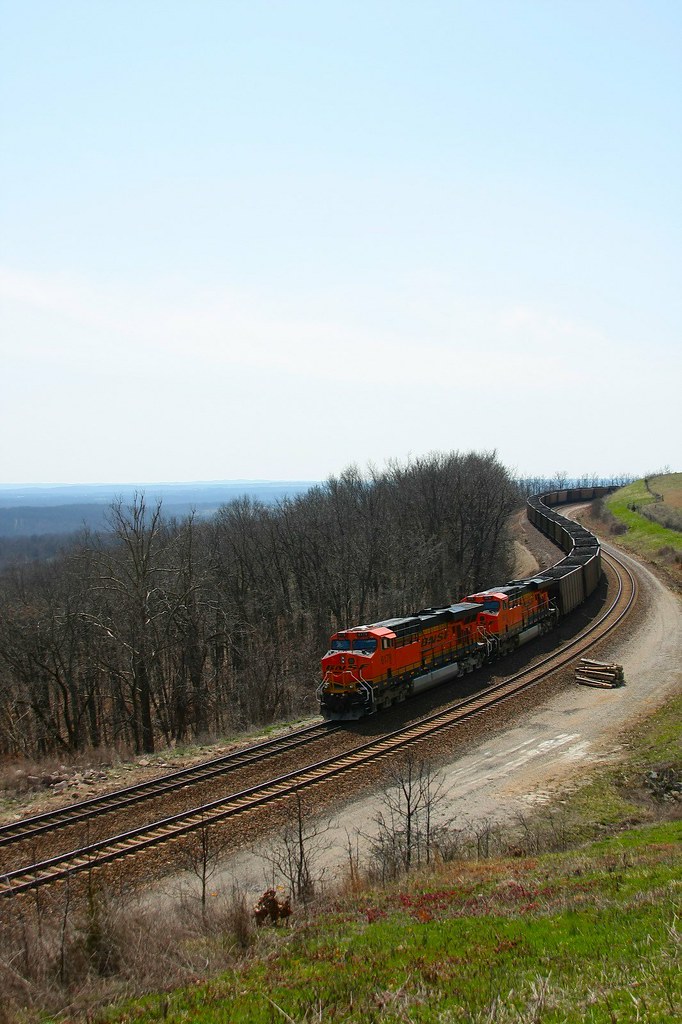
22,000 horsepower
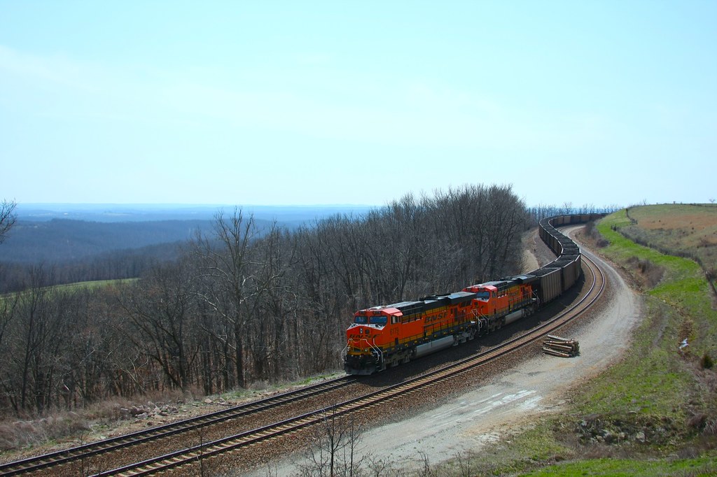
coal train hold the main

ffhhPICT0001 (56)
ffhhPICT0001 (105)

ffhhPICT0001 (57)

ffhhPICT0001 (58)

Tri-County MarooNation Picnic - June 2013

ffhhPICT0001 (61)

ffhhPICT0001 (59)

ffhhPICT0001 (138)

ffhhPICT0001 (108)
Topographic Map of Hill St, Norwood, MO, USA
Find elevation by address:

Places near Hill St, Norwood, MO, USA:
Norwood
Mountain Grove Township
Clark Township
2401 Coke Rd
9310 Hwy Zz
MO-76, Norwood, MO, USA
5097 Highway W
Mountain Grove Chamber
Mountain Grove
N Main St, Mountain Grove, MO, USA
Bethel Chapel Road
Bethel Chapel Road
Douglas County
Mansfield
E Commercial St, Mansfield, MO, USA
Hartville
Vanzant
2694 Mountain Rd
4578 Indian Grove Rd
Pleasant Valley Township
Recent Searches:
- Elevation of W Granada St, Tampa, FL, USA
- Elevation of Pykes Down, Ivybridge PL21 0BY, UK
- Elevation of Jalan Senandin, Lutong, Miri, Sarawak, Malaysia
- Elevation of Bilohirs'k
- Elevation of 30 Oak Lawn Dr, Barkhamsted, CT, USA
- Elevation of Luther Road, Luther Rd, Auburn, CA, USA
- Elevation of Unnamed Road, Respublika Severnaya Osetiya — Alaniya, Russia
- Elevation of Verkhny Fiagdon, North Ossetia–Alania Republic, Russia
- Elevation of F. Viola Hiway, San Rafael, Bulacan, Philippines
- Elevation of Herbage Dr, Gulfport, MS, USA