Elevation of County Rd 30, Eckley, CO, USA
Location: United States > Colorado > Yuma County > Eckley >
Longitude: -102.45907
Latitude: 40.0028739
Elevation: 1180m / 3871feet
Barometric Pressure: 88KPa
Elevation Map:
Satellite Map:
Related Photos:

Nature's Fractals

Grassy Mill
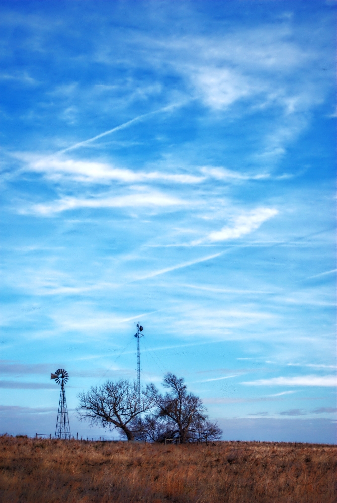
Tower Tech

Round Bail

No Bull

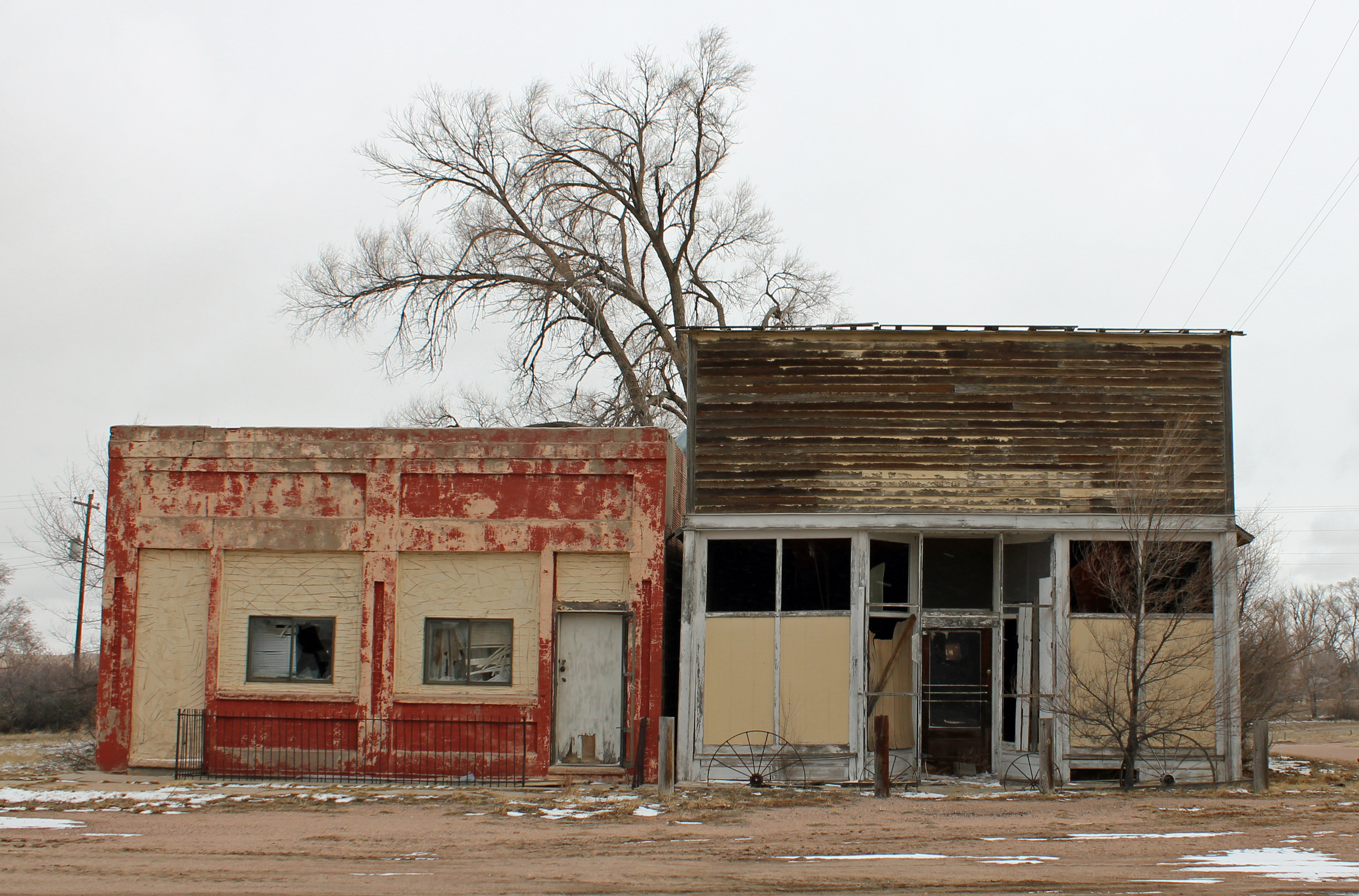
Old Storefront Block (Eckley, Colorado)

Post Office 80727 (Eckley, Colorado)

Alyce and Kathleen O'Neil, Silver Spur Bar & Grill

Silver Spur Bar
Colorado Eastern Plains
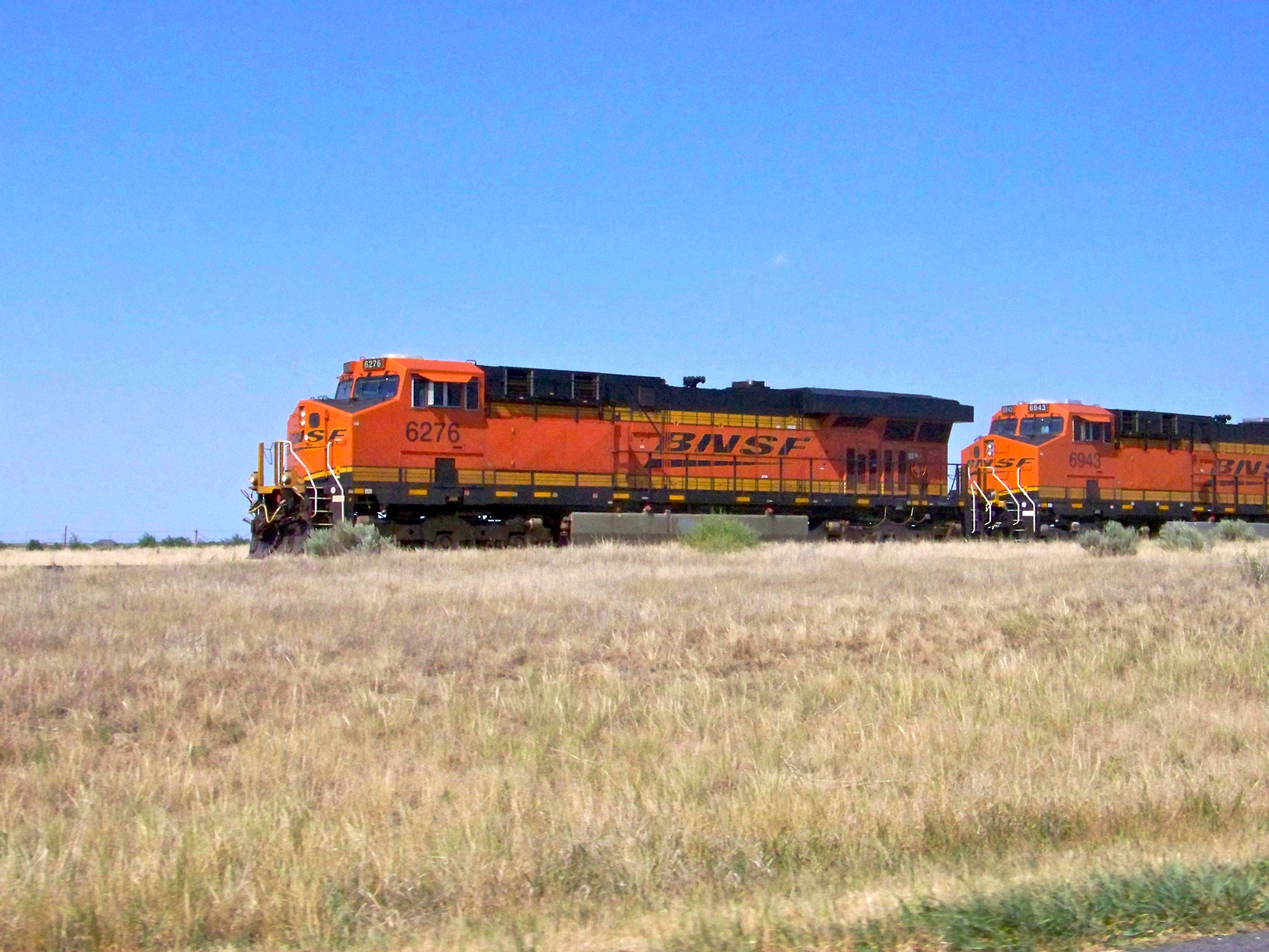
West-Bound
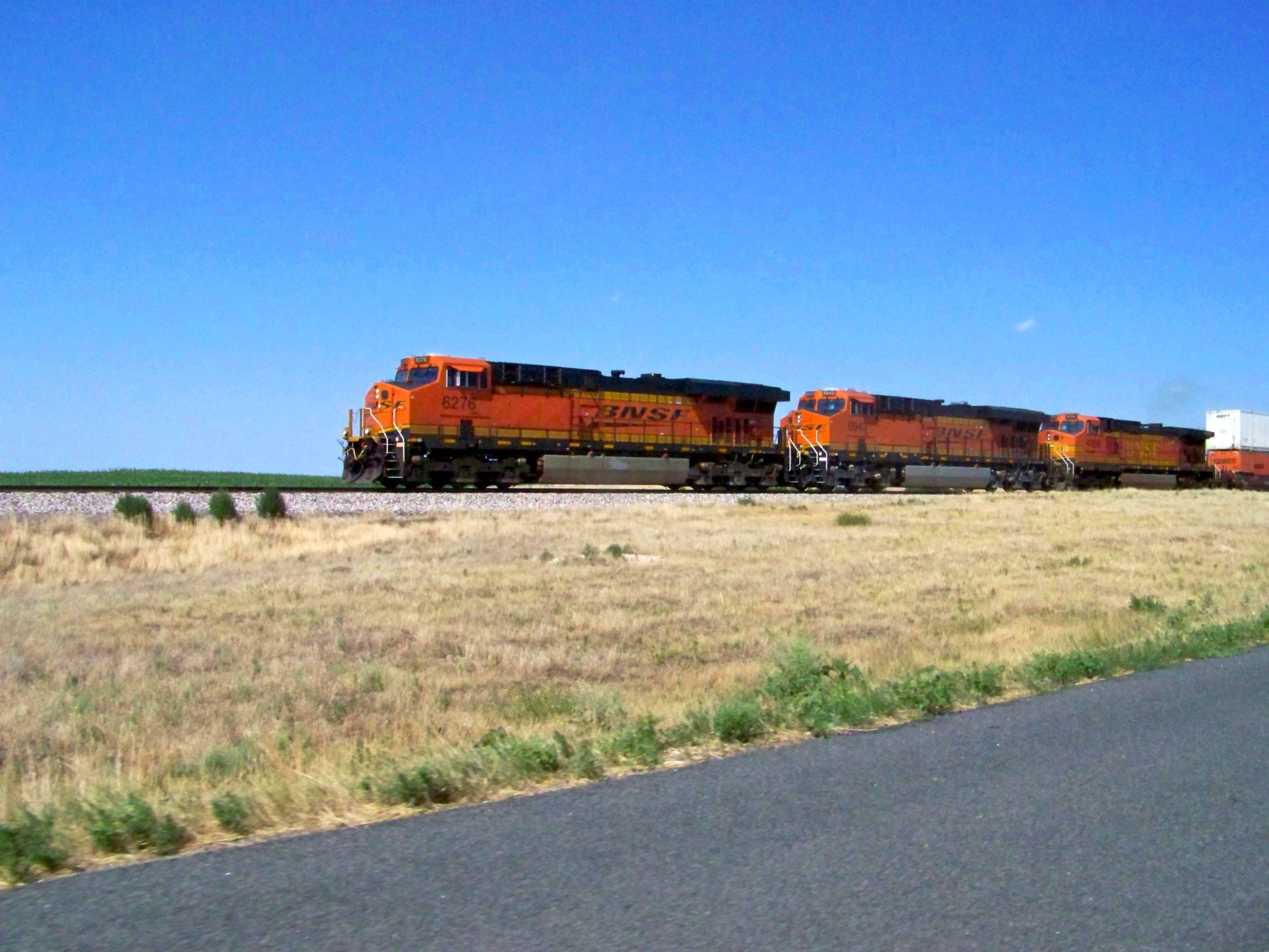
Racing a Train

Tree and old Granary

Fly & Flower

Decision Road
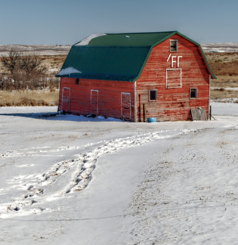
/Fr Barn

Oh, What Twisted Weeds We Weave

Not Chinatown

Turn out the Lights

Star Trail House
Eckley, Yuma County, rest area
Topographic Map of County Rd 30, Eckley, CO, USA
Find elevation by address:

Places near County Rd 30, Eckley, CO, USA:
Eckley
County Rd 26, Eckley, CO, USA
Vernon
1332 W 10th St
Wray
Yuma County
County Rd 9.1, Idalia, CO, USA
Idalia
Kirk, CO, USA
Laird
Campbell Ave, Wray, CO, USA
County Rd PP, Wray, CO, USA
County Rd 3, Kirk, CO, USA
Kirk
Bonny Dam
County Rd 51, Wray, CO, USA
Haigler
Phillips County
Phillips County
Phillips County
Recent Searches:
- Elevation of Corso Fratelli Cairoli, 35, Macerata MC, Italy
- Elevation of Tallevast Rd, Sarasota, FL, USA
- Elevation of 4th St E, Sonoma, CA, USA
- Elevation of Black Hollow Rd, Pennsdale, PA, USA
- Elevation of Oakland Ave, Williamsport, PA, USA
- Elevation of Pedrógão Grande, Portugal
- Elevation of Klee Dr, Martinsburg, WV, USA
- Elevation of Via Roma, Pieranica CR, Italy
- Elevation of Tavkvetili Mountain, Georgia
- Elevation of Hartfords Bluff Cir, Mt Pleasant, SC, USA