Elevation of County Rd 9.1, Idalia, CO, USA
Location: United States > Colorado > Yuma County > Idalia >
Longitude: -102.29534
Latitude: 39.7036344
Elevation: 1209m / 3967feet
Barometric Pressure: 88KPa
Elevation Map:
Satellite Map:
Related Photos:
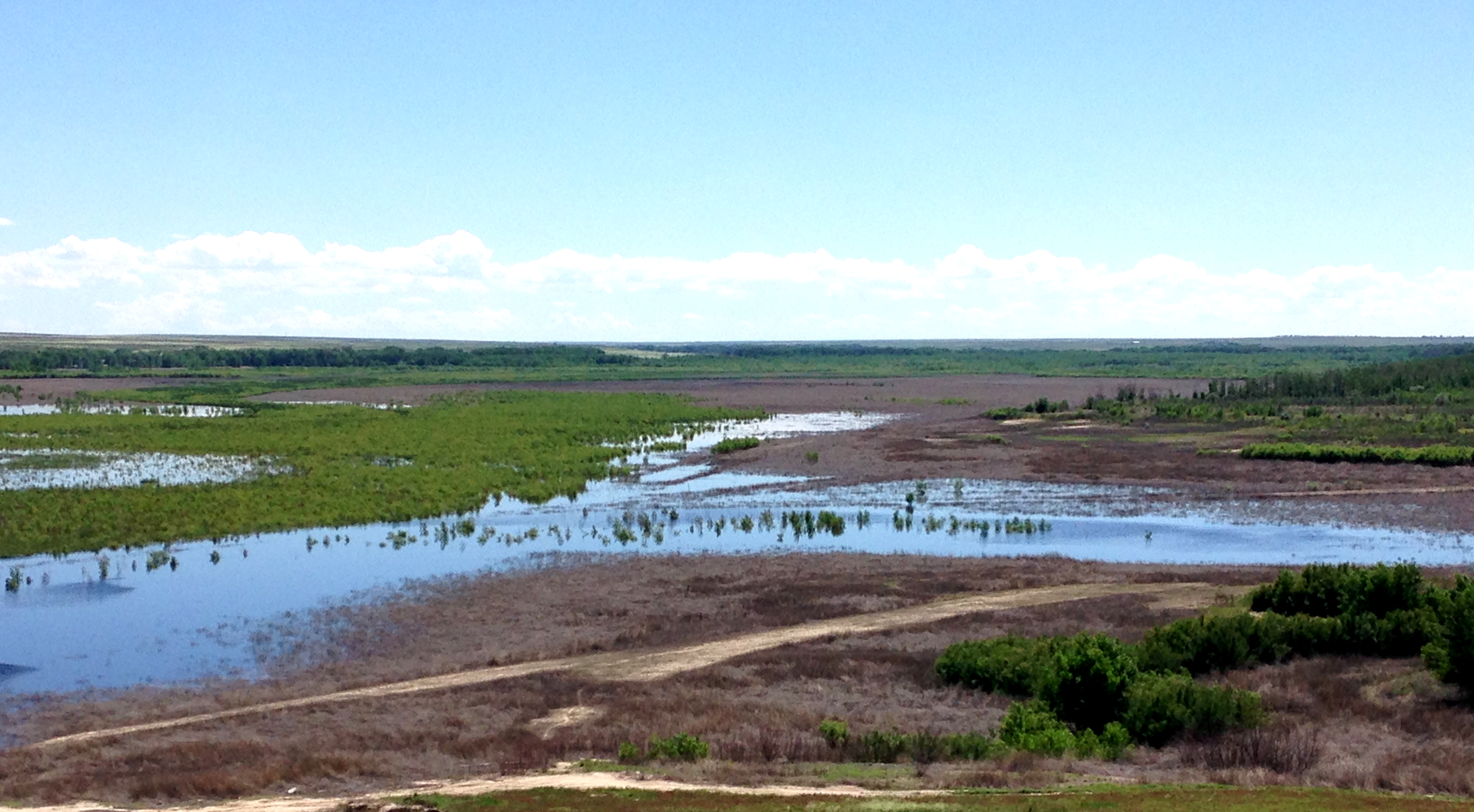
Establishing Shot - "Bonny Reservoir" - Yuma County, CO - May 2015
Establishing Shot 2 - Fox Ranch, Yuma County, CO - September 2014
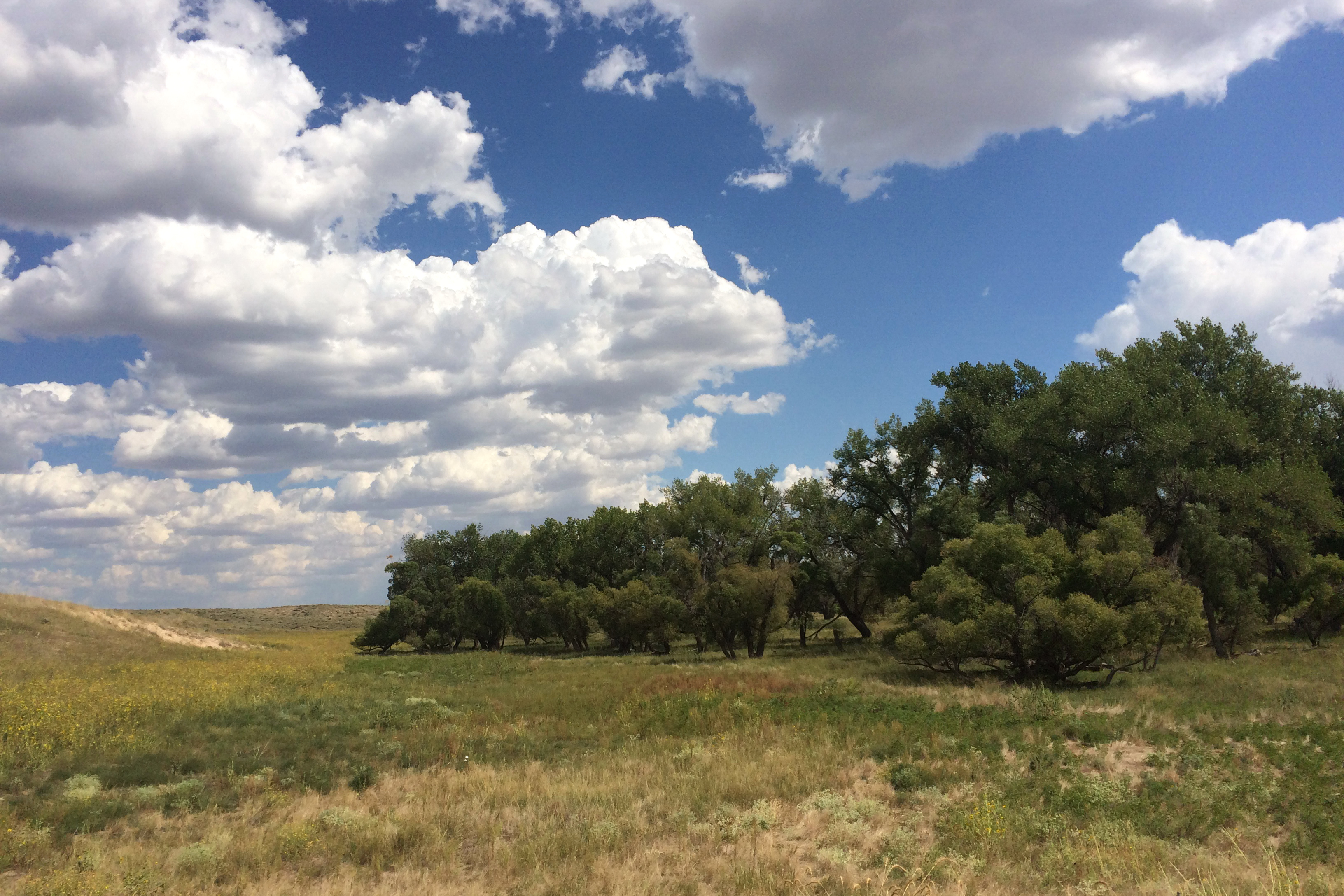
Fox Ranch
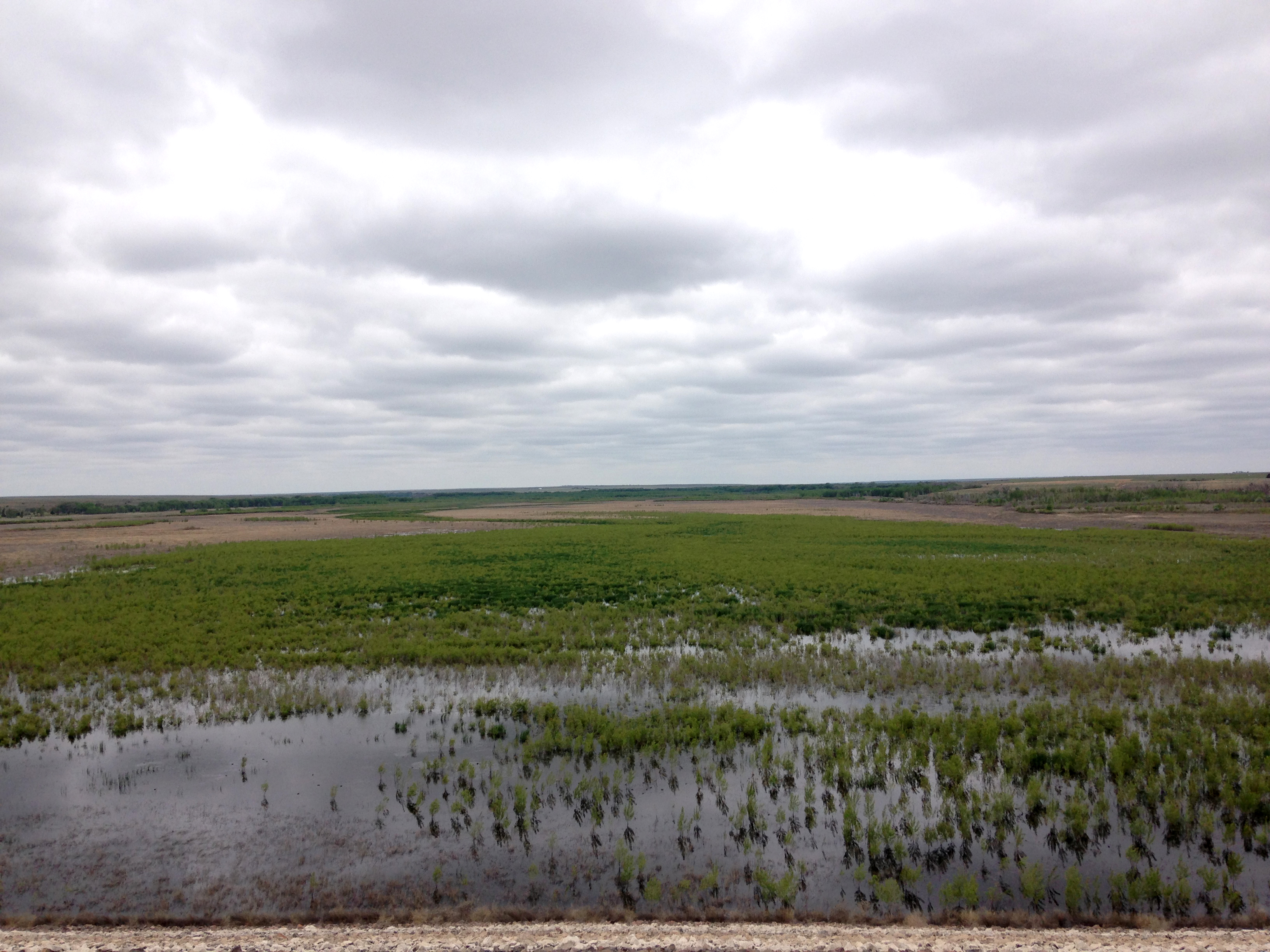
Establishing Shot - from Bonny Dam, Yuma County, CO - June 2015
Establishing Shot - Hale Crossing, Yuma County, CO - May 2015
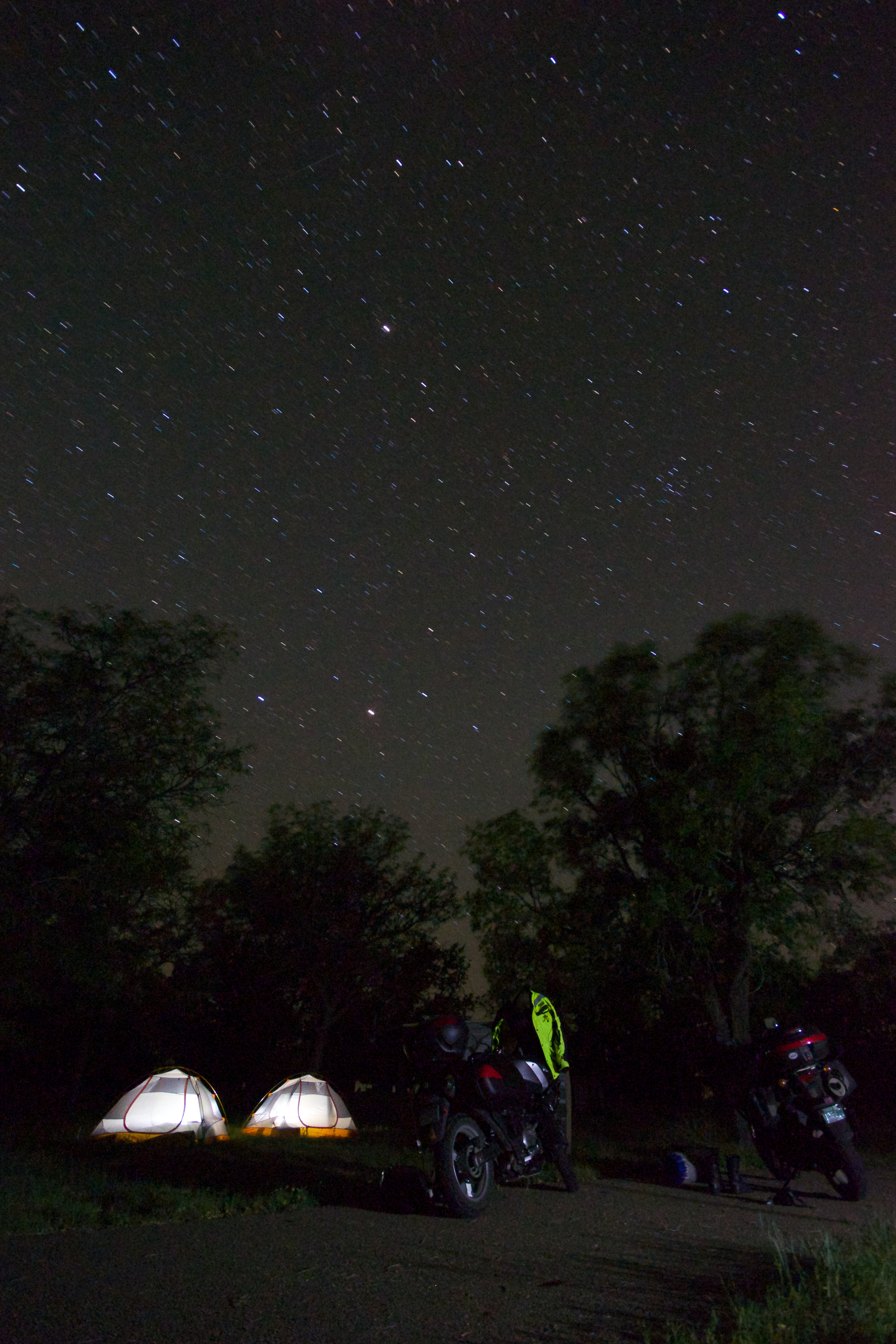
Camped at Bonnie Lake State Park

The road to Bonny State Park
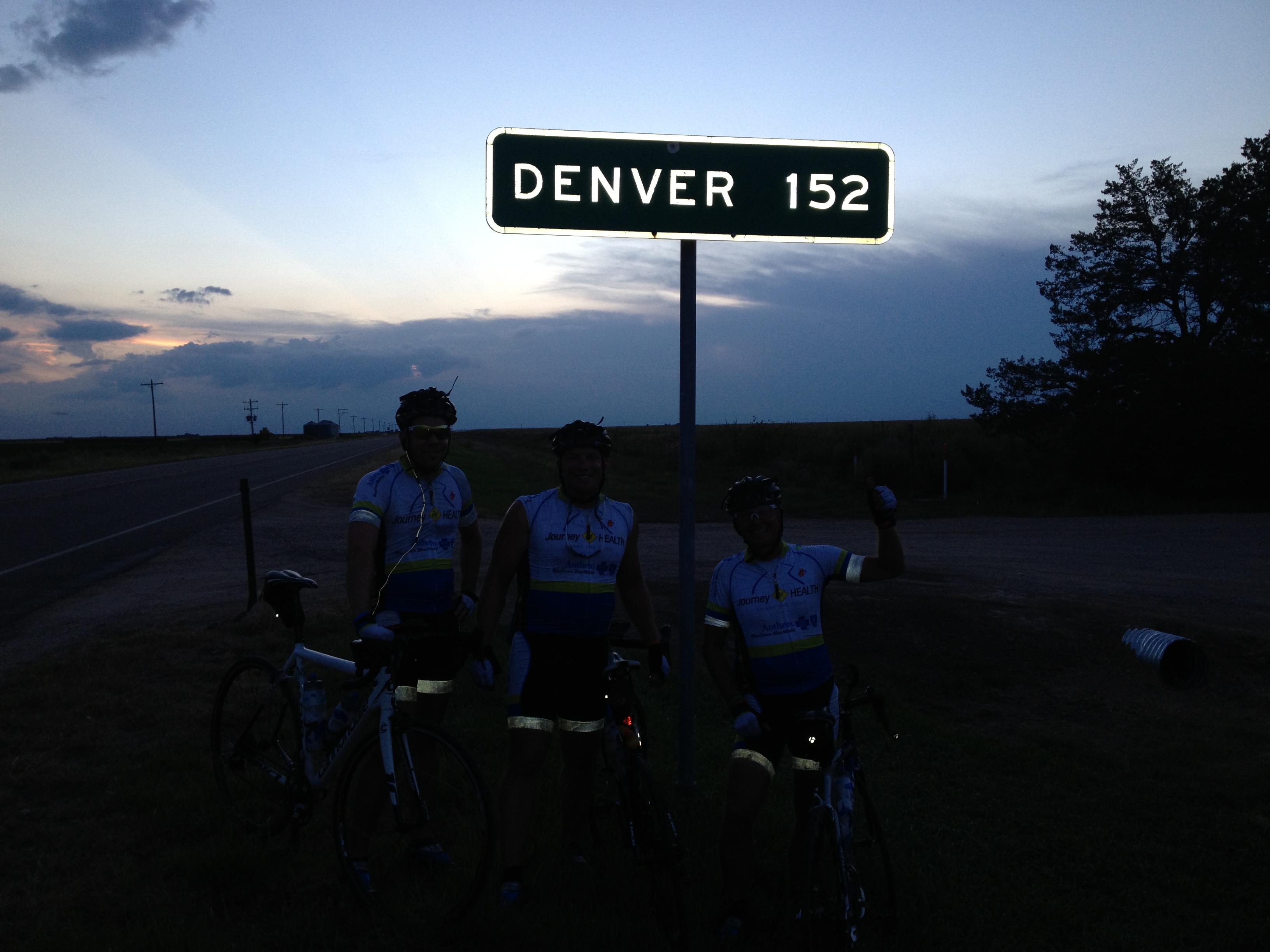
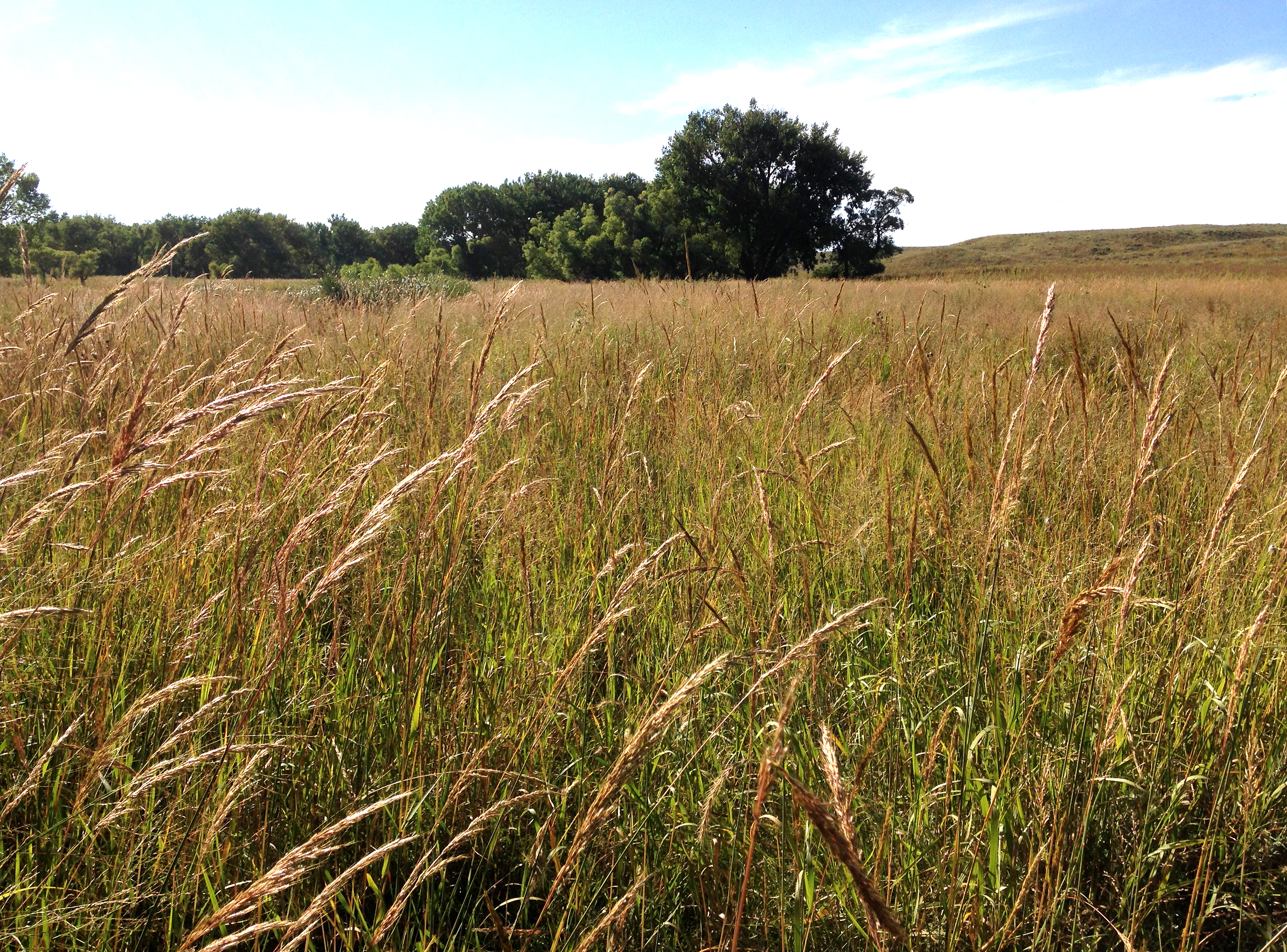
Our longest ride of the tour. 141.9 miles from our start in Aurora, CO

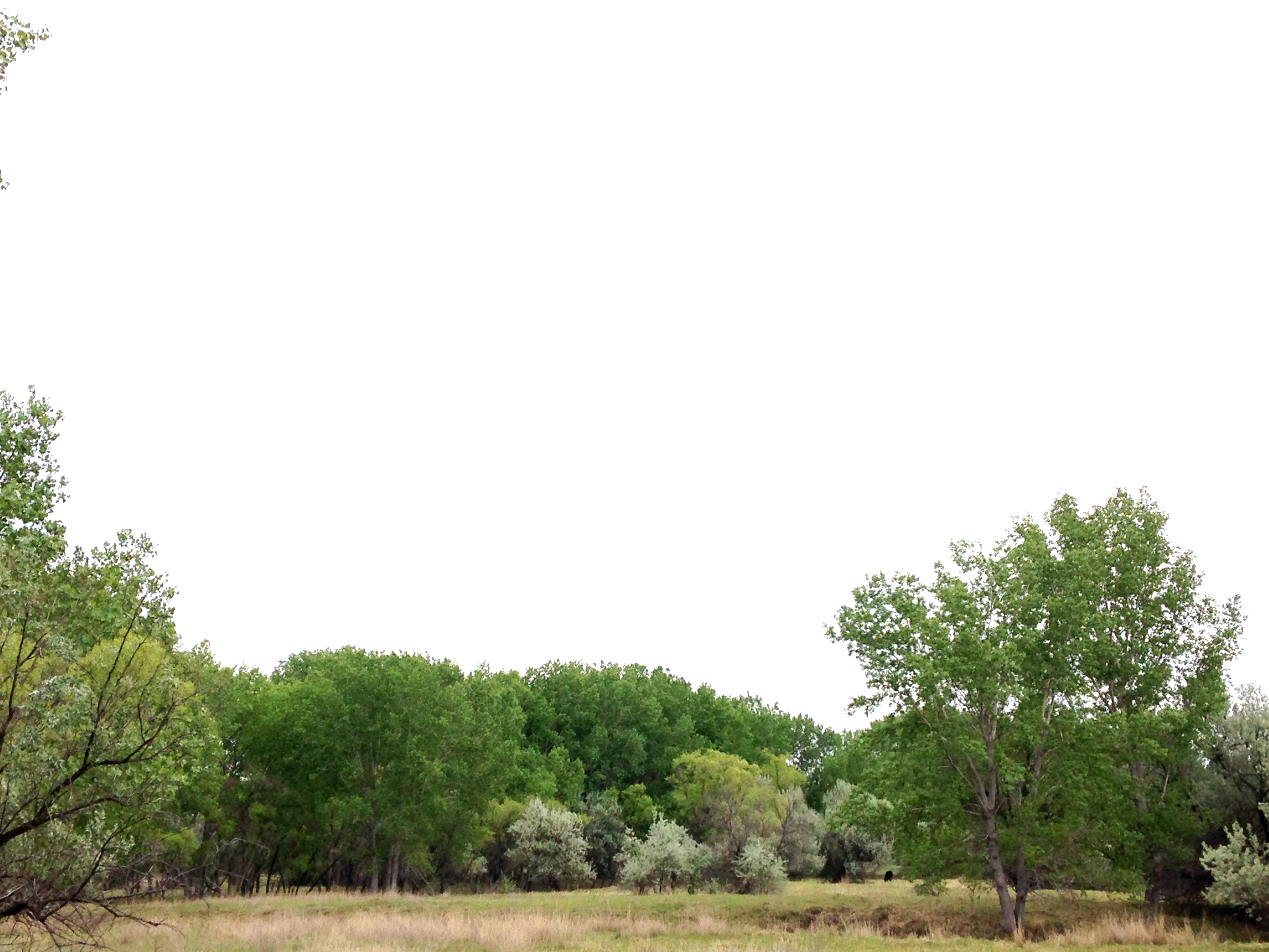
Bonny Reservoir, Colorado
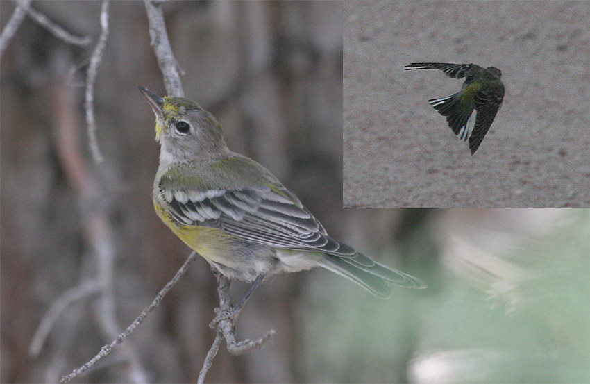
piwa-juv-bonnyres-8-06-05-tl-composite-smaller-lowres

Post Office 80735 (Idalia, Colorado)

Corn everywhere for hours and hours!
Topographic Map of County Rd 9.1, Idalia, CO, USA
Find elevation by address:

Places near County Rd 9.1, Idalia, CO, USA:
Idalia
Bonny Dam
County Rd PP, Wray, CO, USA
Kirk, CO, USA
Vernon
County Rd 3, Kirk, CO, USA
Kirk
County Rd 30, Eckley, CO, USA
1332 W 10th St
County Rd 26, Eckley, CO, USA
Wano
Wray
Kit Carson County
Campbell Ave, Wray, CO, USA
Laird
Yuma County
Eckley
Haigler
Saint Francis
Cheyenne County
Recent Searches:
- Elevation of W Granada St, Tampa, FL, USA
- Elevation of Pykes Down, Ivybridge PL21 0BY, UK
- Elevation of Jalan Senandin, Lutong, Miri, Sarawak, Malaysia
- Elevation of Bilohirs'k
- Elevation of 30 Oak Lawn Dr, Barkhamsted, CT, USA
- Elevation of Luther Road, Luther Rd, Auburn, CA, USA
- Elevation of Unnamed Road, Respublika Severnaya Osetiya — Alaniya, Russia
- Elevation of Verkhny Fiagdon, North Ossetia–Alania Republic, Russia
- Elevation of F. Viola Hiway, San Rafael, Bulacan, Philippines
- Elevation of Herbage Dr, Gulfport, MS, USA