Elevation of Kirk, CO, USA
Location: United States > Colorado > Yuma County >
Longitude: -102.59202
Latitude: 39.6128529
Elevation: 1281m / 4203feet
Barometric Pressure: 87KPa
Elevation Map:
Satellite Map:
Related Photos:

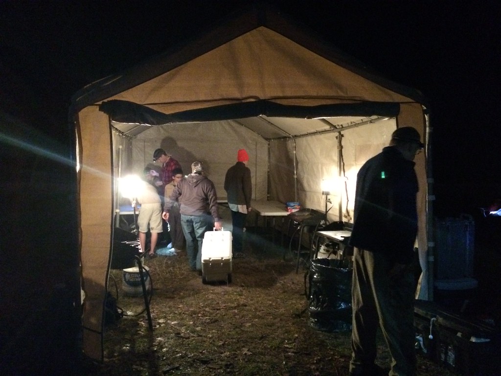
Marco gonzales
Day 111

Light my way

Post Office 80824 (Kirk, Colorado)

Fire Texture

Fire Texture

Abstract Lights
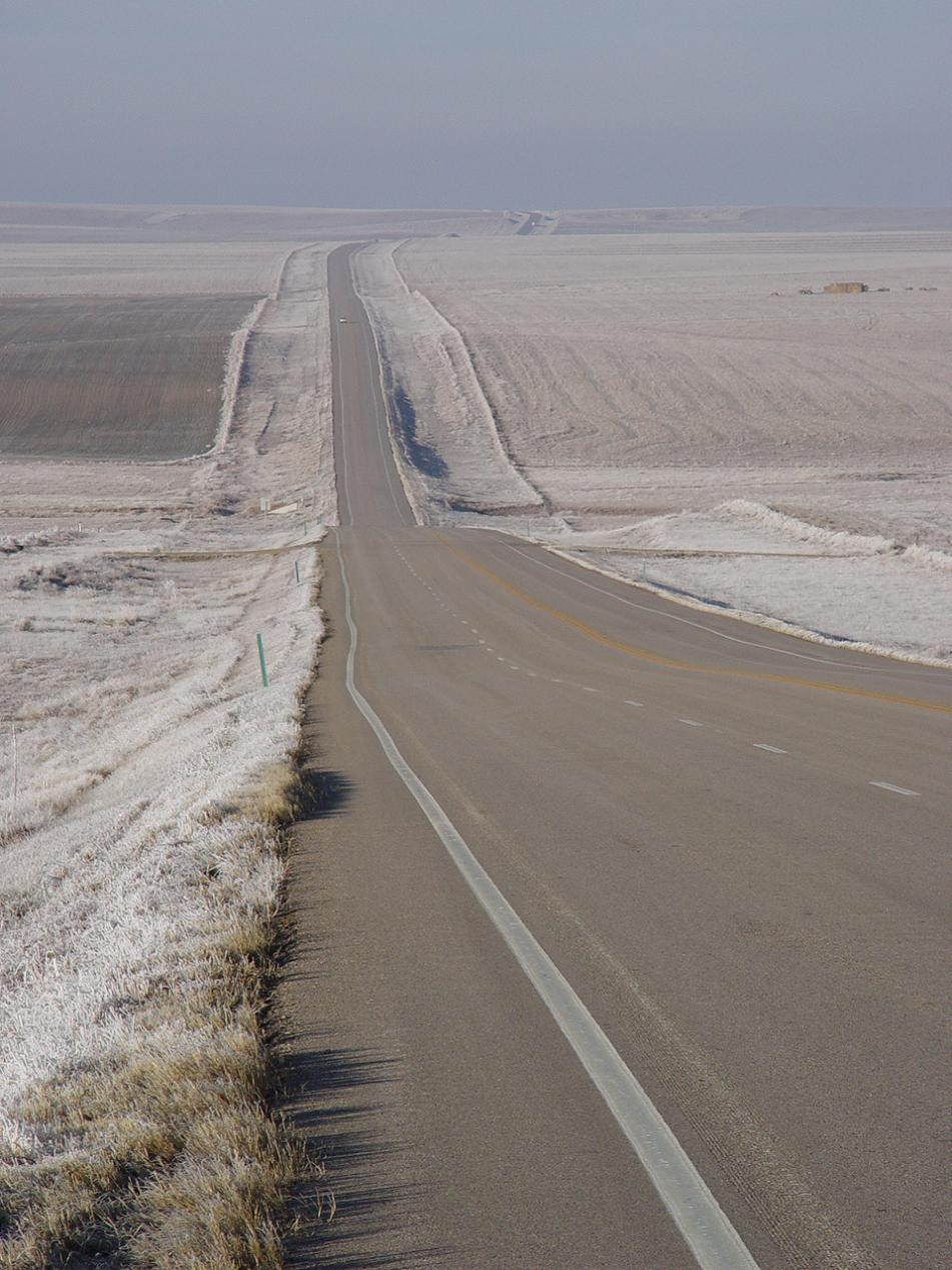
Frosty Colorado
Topographic Map of Kirk, CO, USA
Find elevation by address:

Places in Kirk, CO, USA:
Places near Kirk, CO, USA:
County Rd 3, Kirk, CO, USA
Kirk, CO, USA
Kit Carson County
County Rd 9.1, Idalia, CO, USA
Idalia
County Rd 26, Eckley, CO, USA
County Rd 30, Eckley, CO, USA
Bonny Dam
Vernon
Eckley
County Rd PP, Wray, CO, USA
1332 W 10th St
Wray
Yuma County
Campbell Ave, Wray, CO, USA
Laird
Wano
Haigler
Saint Francis
Cheyenne County
Recent Searches:
- Elevation of Jalan Senandin, Lutong, Miri, Sarawak, Malaysia
- Elevation of Bilohirs'k
- Elevation of 30 Oak Lawn Dr, Barkhamsted, CT, USA
- Elevation of Luther Road, Luther Rd, Auburn, CA, USA
- Elevation of Unnamed Road, Respublika Severnaya Osetiya — Alaniya, Russia
- Elevation of Verkhny Fiagdon, North Ossetia–Alania Republic, Russia
- Elevation of F. Viola Hiway, San Rafael, Bulacan, Philippines
- Elevation of Herbage Dr, Gulfport, MS, USA
- Elevation of Lilac Cir, Haldimand, ON N3W 2G9, Canada
- Elevation of Harrod Branch Road, Harrod Branch Rd, Kentucky, USA