Elevation of County Rd PP, Wray, CO, USA
Location: United States > Colorado > Yuma County > Wray >
Longitude: -102.10790
Latitude: 39.7972433
Elevation: 1161m / 3809feet
Barometric Pressure: 88KPa
Elevation Map:
Satellite Map:
Related Photos:
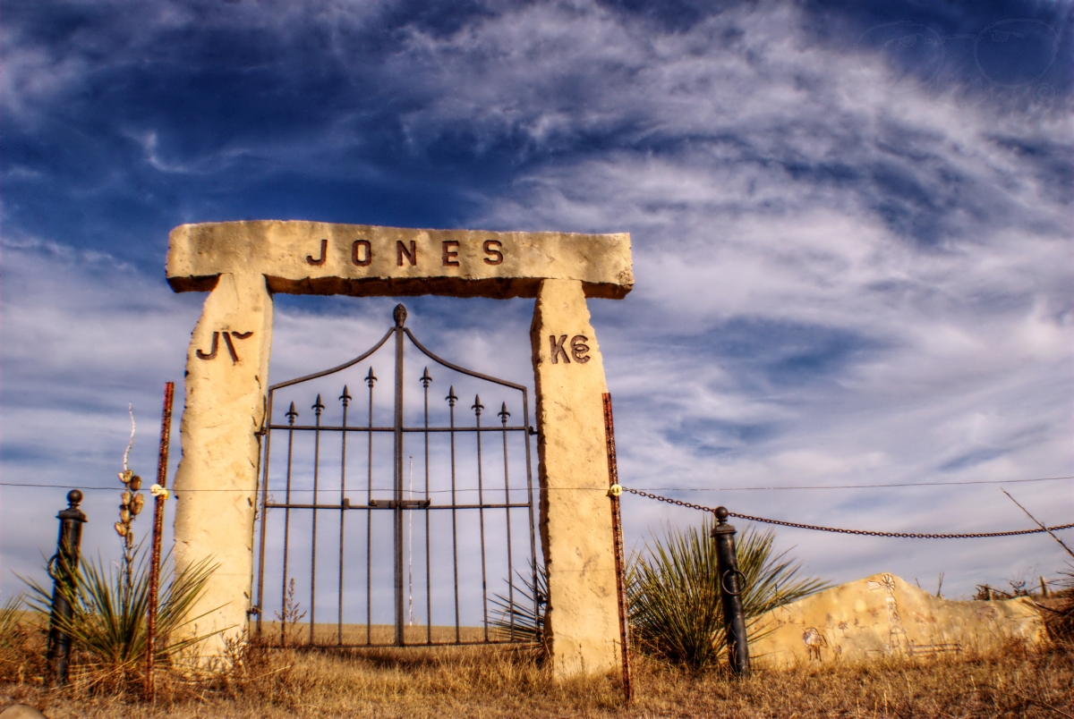
Jones Cementary
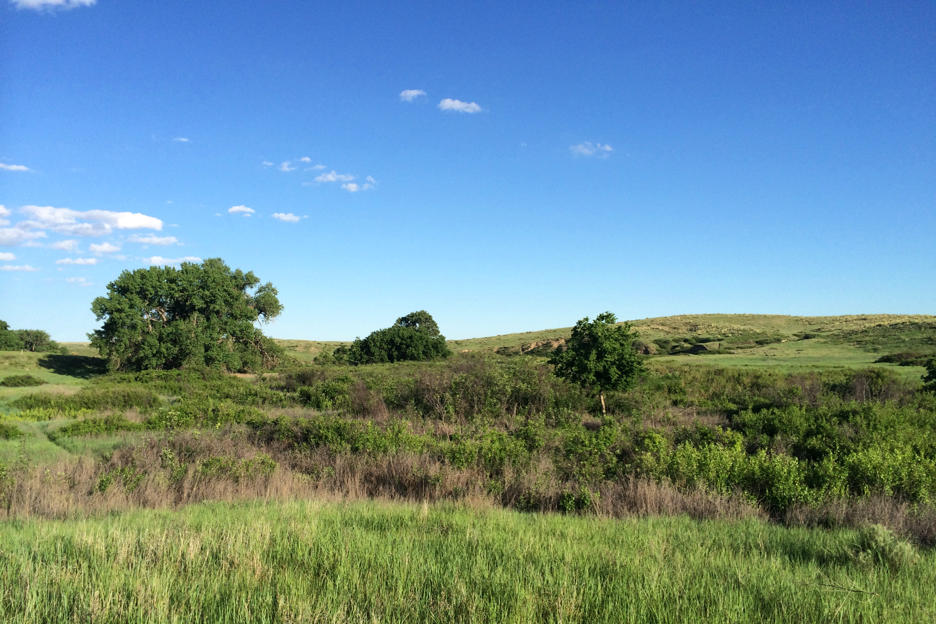
Simmons SWA
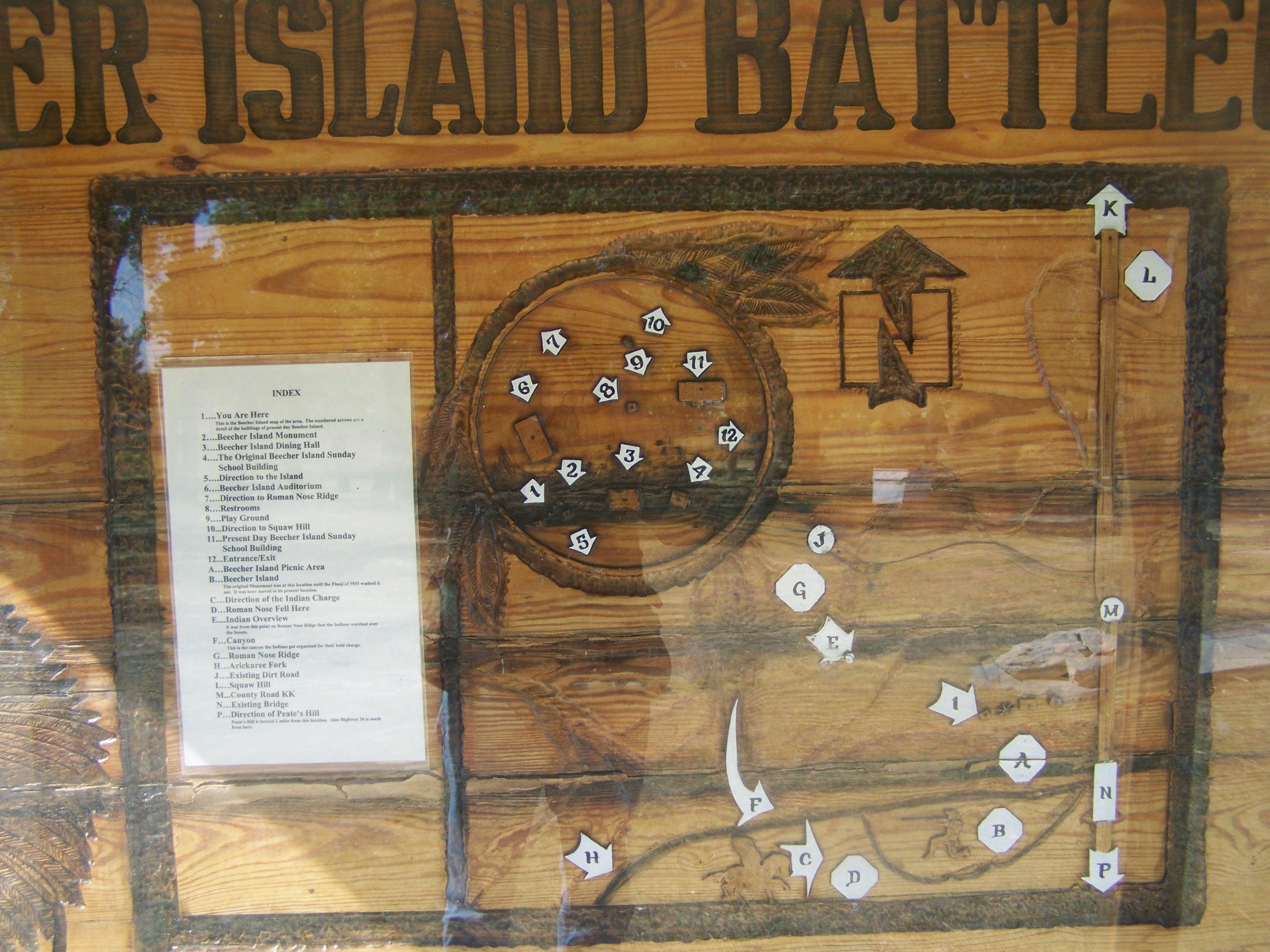
Beecher Island Battleground- Yuma County CO (3)
Establishing Shot - Sand Bluffs State Trust, Yuma County, CO - April 2014

2012-LAWRENCE06-Welcome to KS

Turkey Day

Corn everywhere for hours and hours!

Beecher Island Battleground- Yuma County CO (4)

Beecher Island Battleground- Yuma County CO (2)
Beecher Island Battleground- Yuma County CO (1)
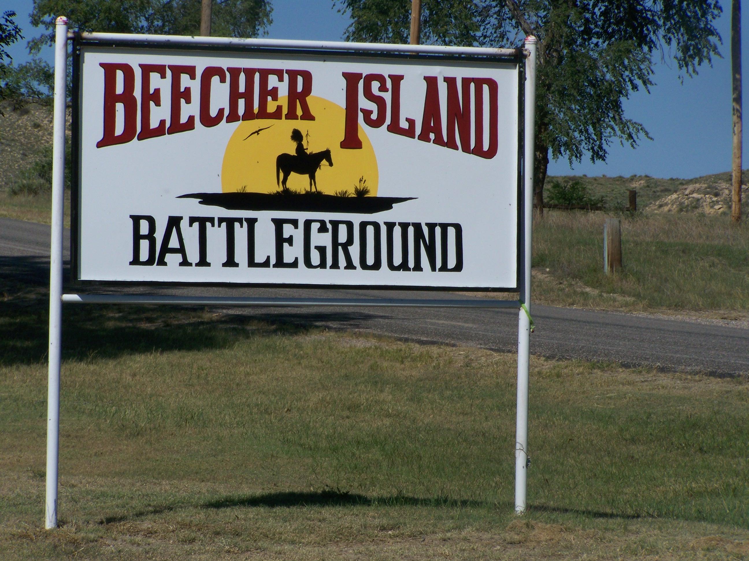
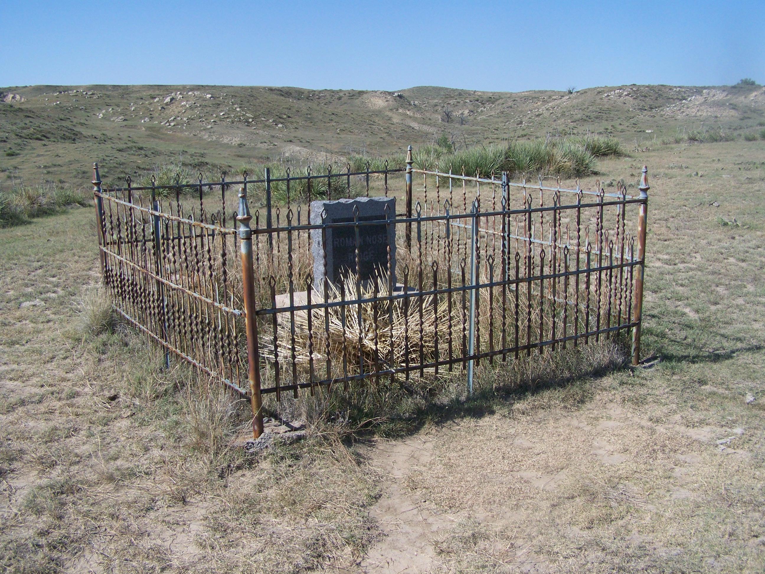
Beecher Island Battleground- Yuma County CO

Leaving Kansas
Topographic Map of County Rd PP, Wray, CO, USA
Find elevation by address:

Places near County Rd PP, Wray, CO, USA:
Wano
Bonny Dam
Idalia
County Rd 9.1, Idalia, CO, USA
Vernon
Haigler
Campbell Ave, Wray, CO, USA
Laird
Wray
1332 W 10th St
Saint Francis
Cheyenne County
Yuma County
County Rd 30, Eckley, CO, USA
Kirk, CO, USA
County Rd 26, Eckley, CO, USA
Eckley
County Rd 51, Wray, CO, USA
County Rd 3, Kirk, CO, USA
Kirk
Recent Searches:
- Elevation of Pykes Down, Ivybridge PL21 0BY, UK
- Elevation of Jalan Senandin, Lutong, Miri, Sarawak, Malaysia
- Elevation of Bilohirs'k
- Elevation of 30 Oak Lawn Dr, Barkhamsted, CT, USA
- Elevation of Luther Road, Luther Rd, Auburn, CA, USA
- Elevation of Unnamed Road, Respublika Severnaya Osetiya — Alaniya, Russia
- Elevation of Verkhny Fiagdon, North Ossetia–Alania Republic, Russia
- Elevation of F. Viola Hiway, San Rafael, Bulacan, Philippines
- Elevation of Herbage Dr, Gulfport, MS, USA
- Elevation of Lilac Cir, Haldimand, ON N3W 2G9, Canada