Elevation of County Hwy E, Richland Center, WI, USA
Location: United States > Wisconsin > Richland County > Sylvan >
Longitude: -90.62725
Latitude: 43.422446
Elevation: 384m / 1260feet
Barometric Pressure: 97KPa
Elevation Map:
Satellite Map:
Related Photos:

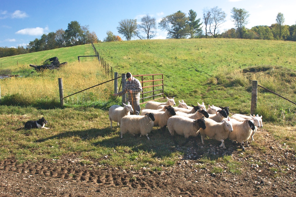
The Folks Who Live On The Hill

here they are

HDR Sunset
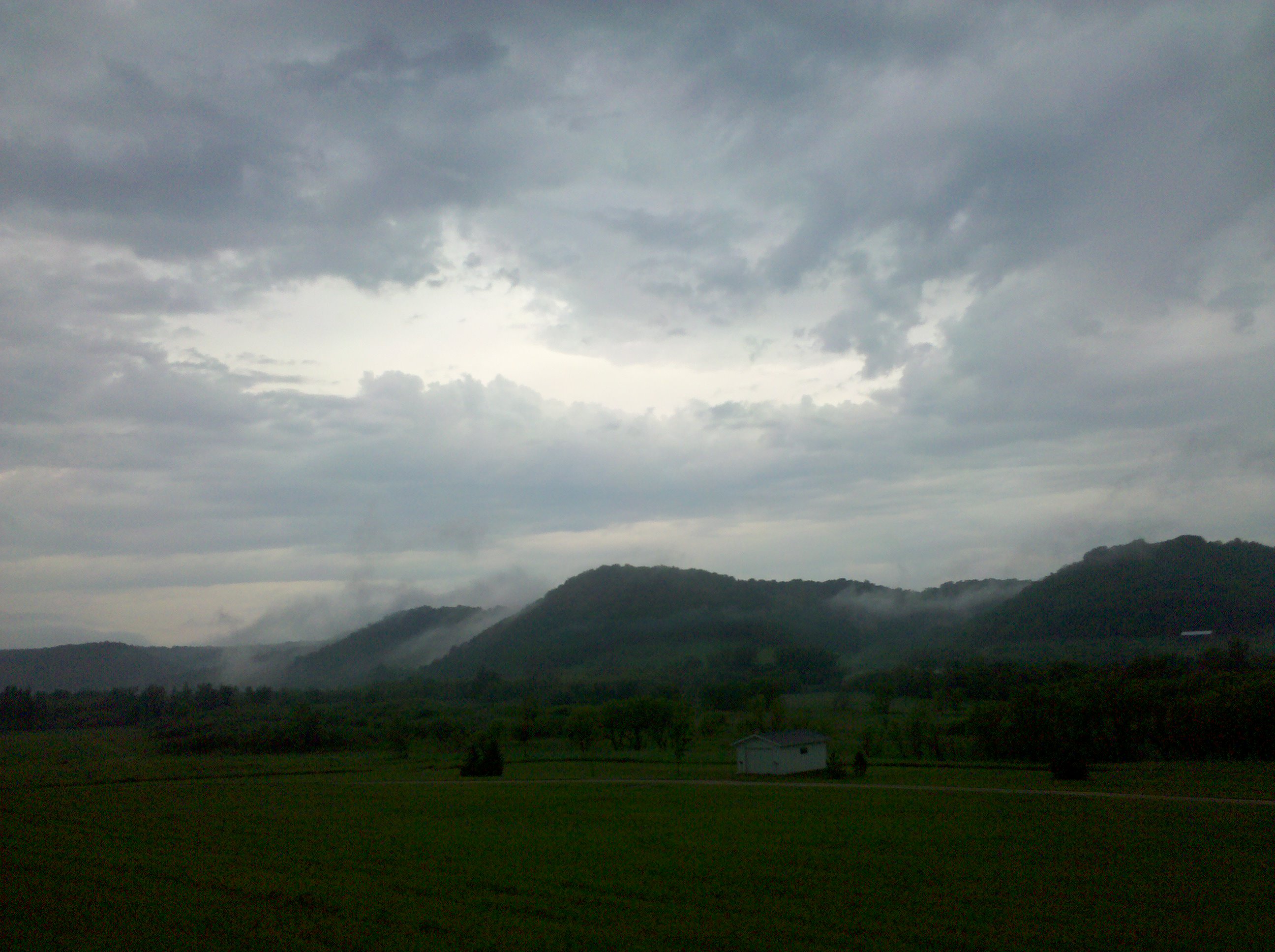
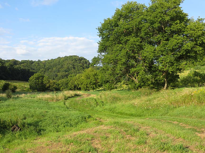
Southwestern Wisconsin
Driftless Dawn

Lone sheep
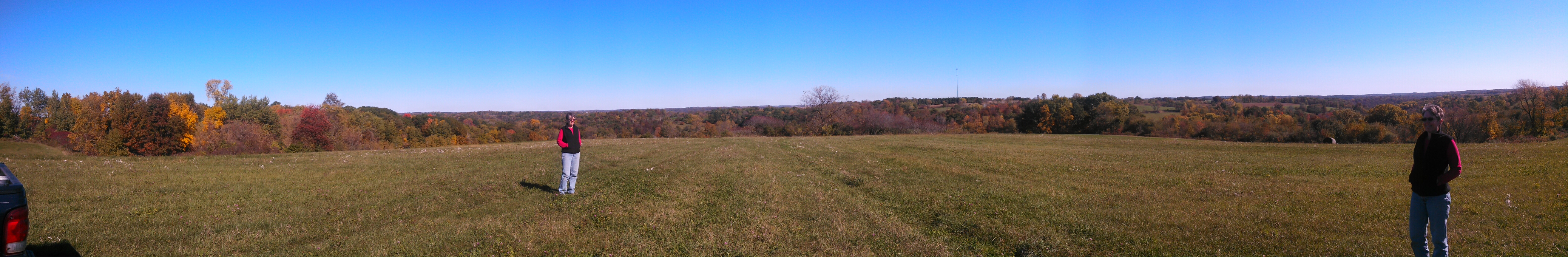
Top of the hill panorama

Countryside photos in West Wisconsin

0816_0162 copy

0815_0205 copy
Yesterday: two new all-time highs
0815_0204 copy
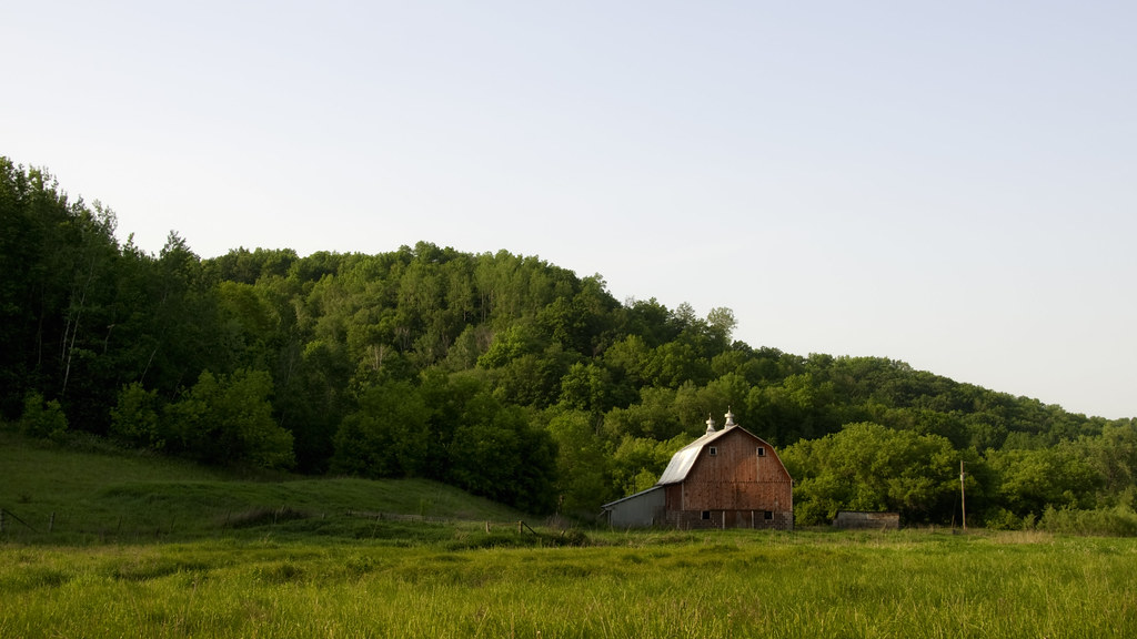
Back Forty
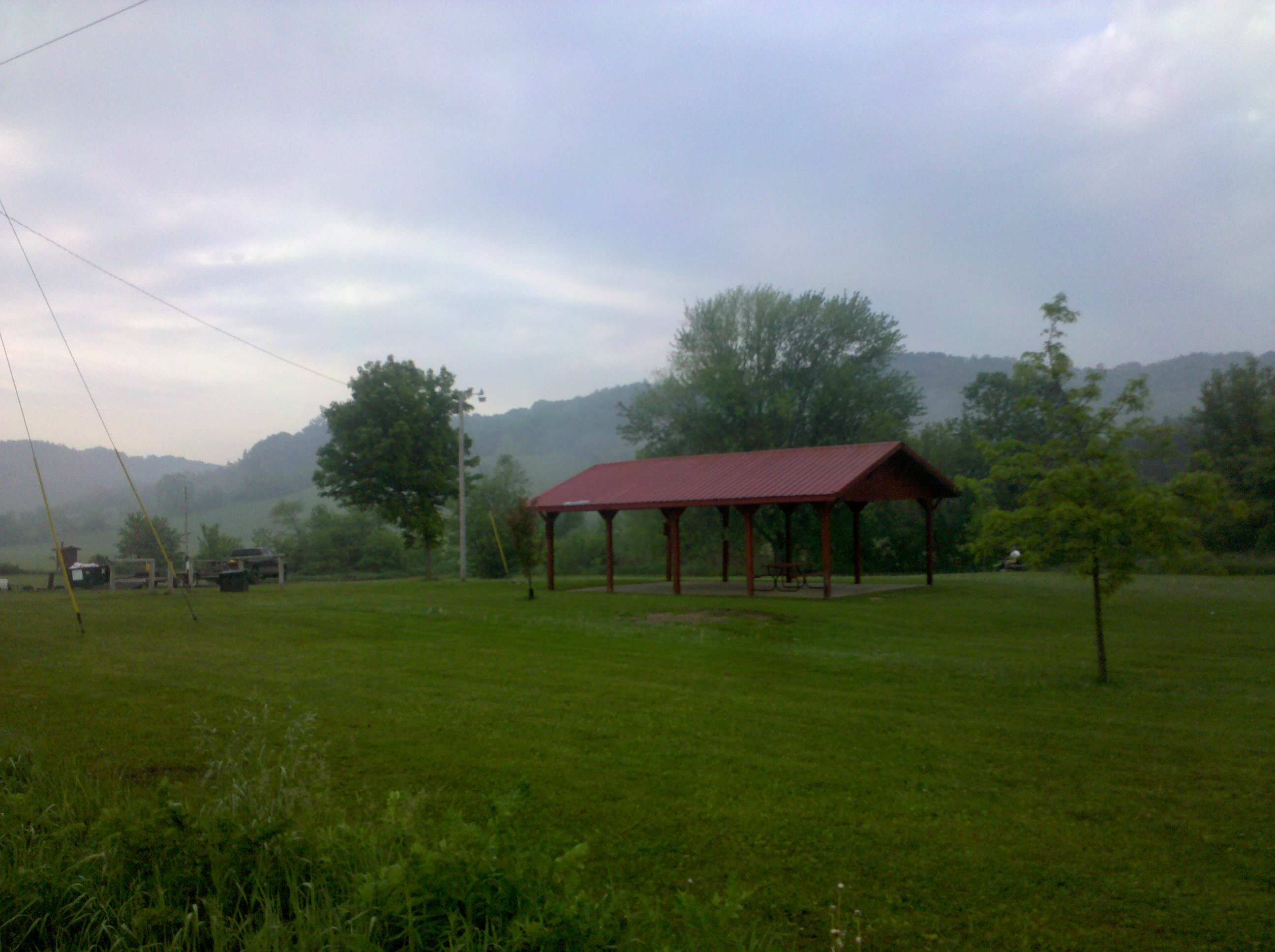
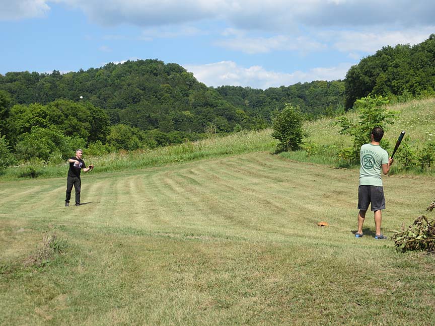
Good Day
0816_0168 copy
0815_0202 copy
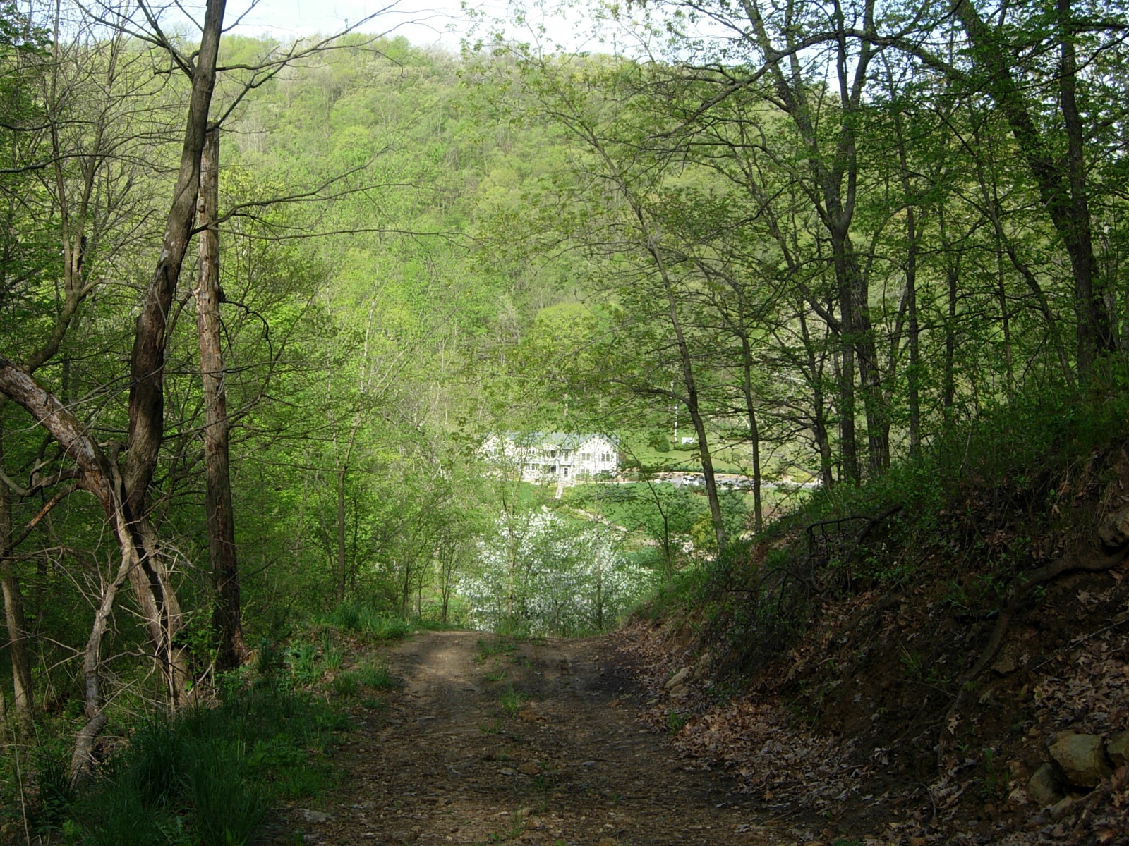
The Inn at Lonesome Hollow
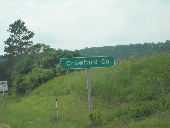
Crawford Co., WI

running flock
0816_0132 copy
move em
Topographic Map of County Hwy E, Richland Center, WI, USA
Find elevation by address:

Places near County Hwy E, Richland Center, WI, USA:
Sylvan
Forest
S Main St, Viola, WI, USA
Viola
225 W Exchange St
42912 N Clayton Rd
Marshall
Lingel Ln, Richland Center, WI, USA
Clayton
WI-, Viola, WI, USA
116n
Highpoint Rd, Soldiers Grove, WI, USA
12259 Us-61
Soldiers Grove
County Rd D, Hillsboro, WI, USA
WI-56, Richland Center, WI, USA
Bloom City
41826 County Rd W
14538 River Rd
Scott
Recent Searches:
- Elevation of Elwyn Dr, Roanoke Rapids, NC, USA
- Elevation of Congressional Dr, Stevensville, MD, USA
- Elevation of Bellview Rd, McLean, VA, USA
- Elevation of Stage Island Rd, Chatham, MA, USA
- Elevation of Shibuya Scramble Crossing, 21 Udagawacho, Shibuya City, Tokyo -, Japan
- Elevation of Jadagoniai, Kaunas District Municipality, Lithuania
- Elevation of Pagonija rock, Kranto 7-oji g. 8"N, Kaunas, Lithuania
- Elevation of Co Rd 87, Jamestown, CO, USA
- Elevation of Tenjo, Cundinamarca, Colombia
- Elevation of Côte-des-Neiges, Montreal, QC H4A 3J6, Canada