Elevation of Forest, WI, USA
Location: United States > Wisconsin > Richland County >
Longitude: -90.620416
Latitude: 43.5013111
Elevation: 249m / 817feet
Barometric Pressure: 98KPa
Elevation Map:
Satellite Map:
Related Photos:
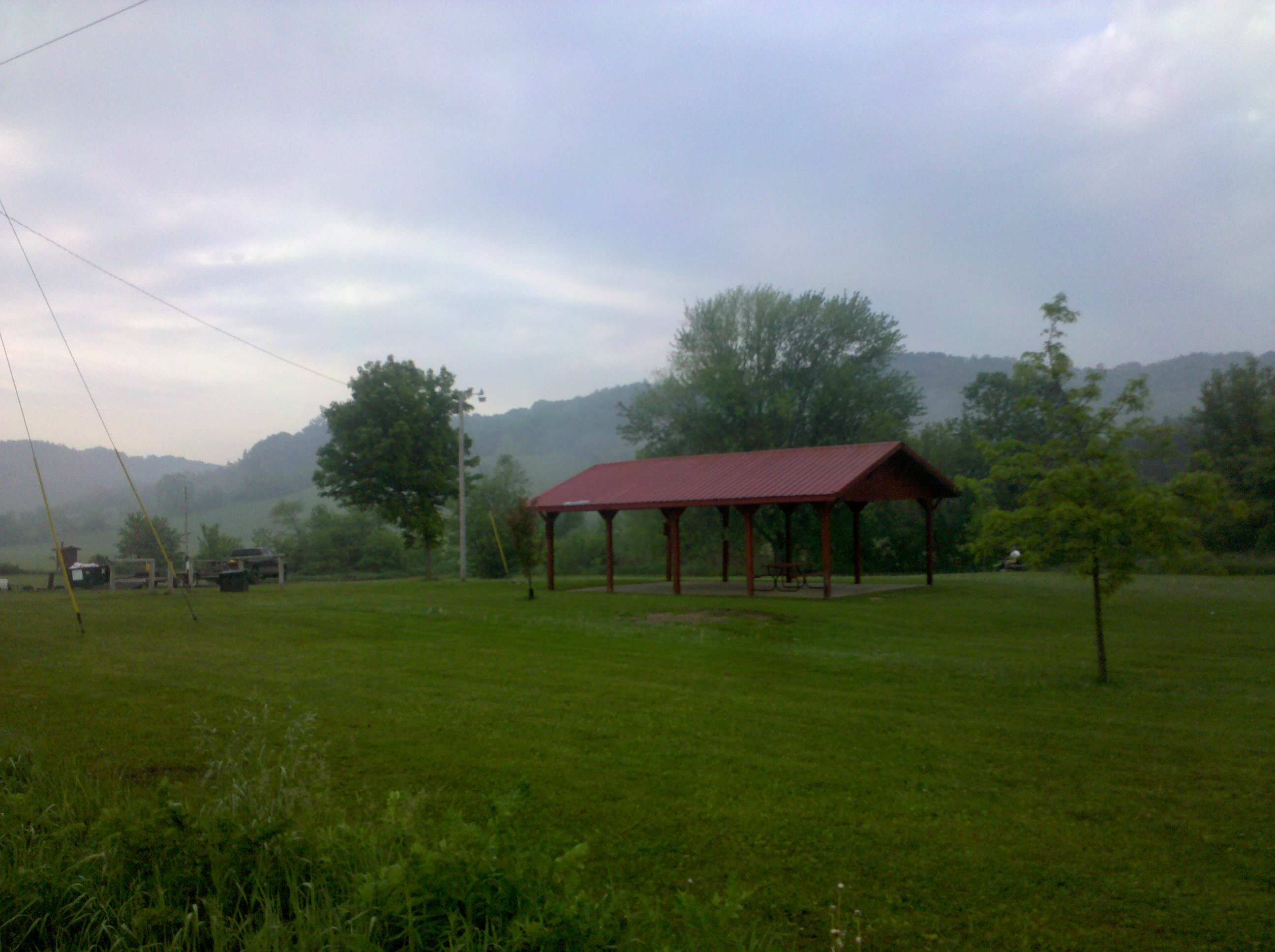
Nice Place to Build a Barn

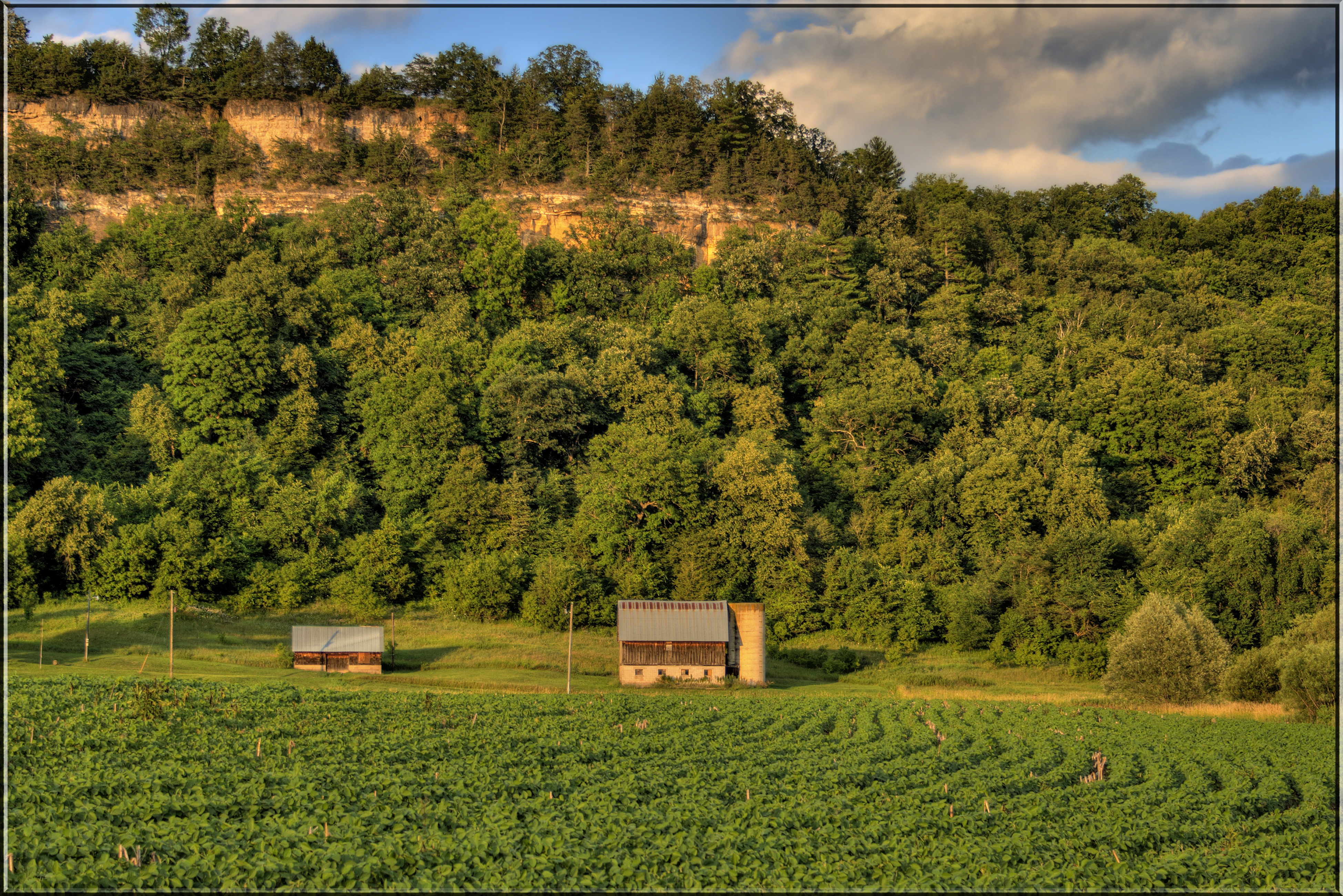
HDR Sunset
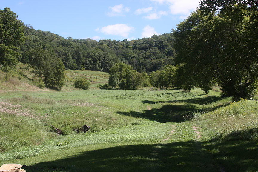
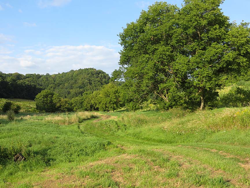
Southwestern Wisconsin

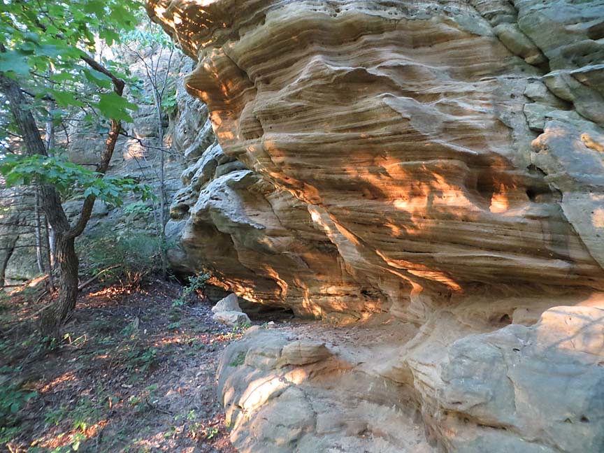
Environmental Geology Comes Home

0816_0162 copy

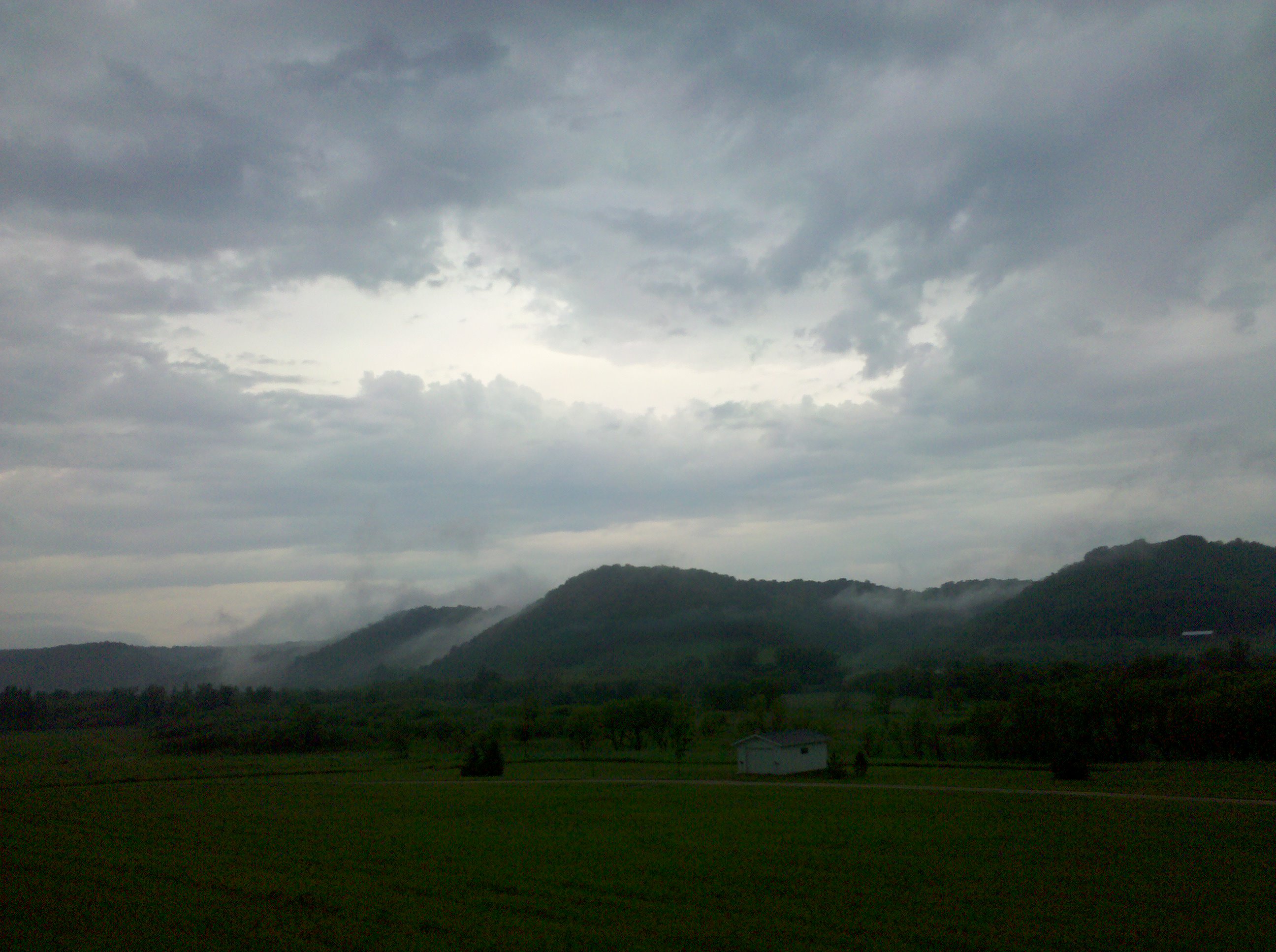
The Skies ~ 1-6-2013
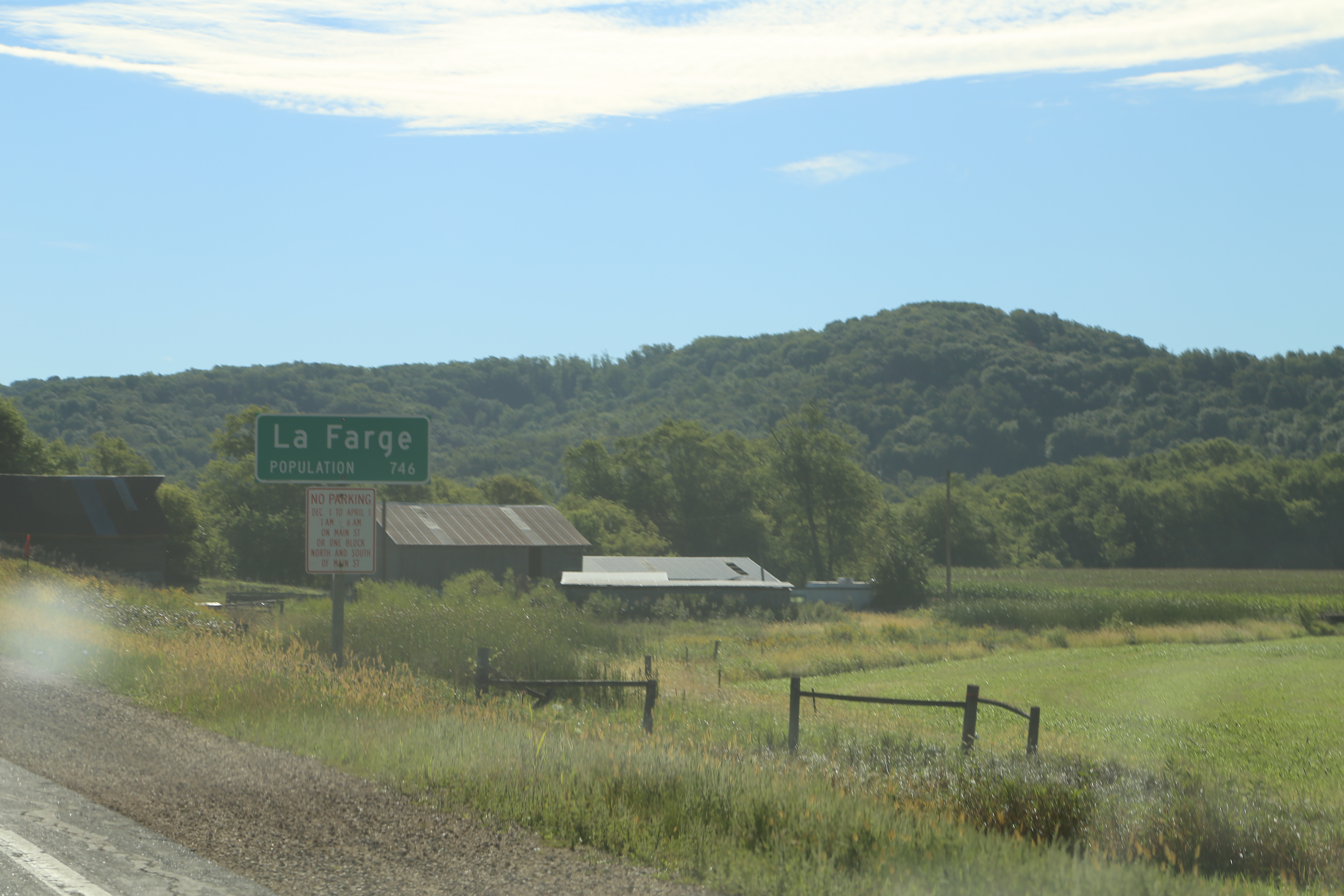
La Farge Wisconsin, Vernon County WI
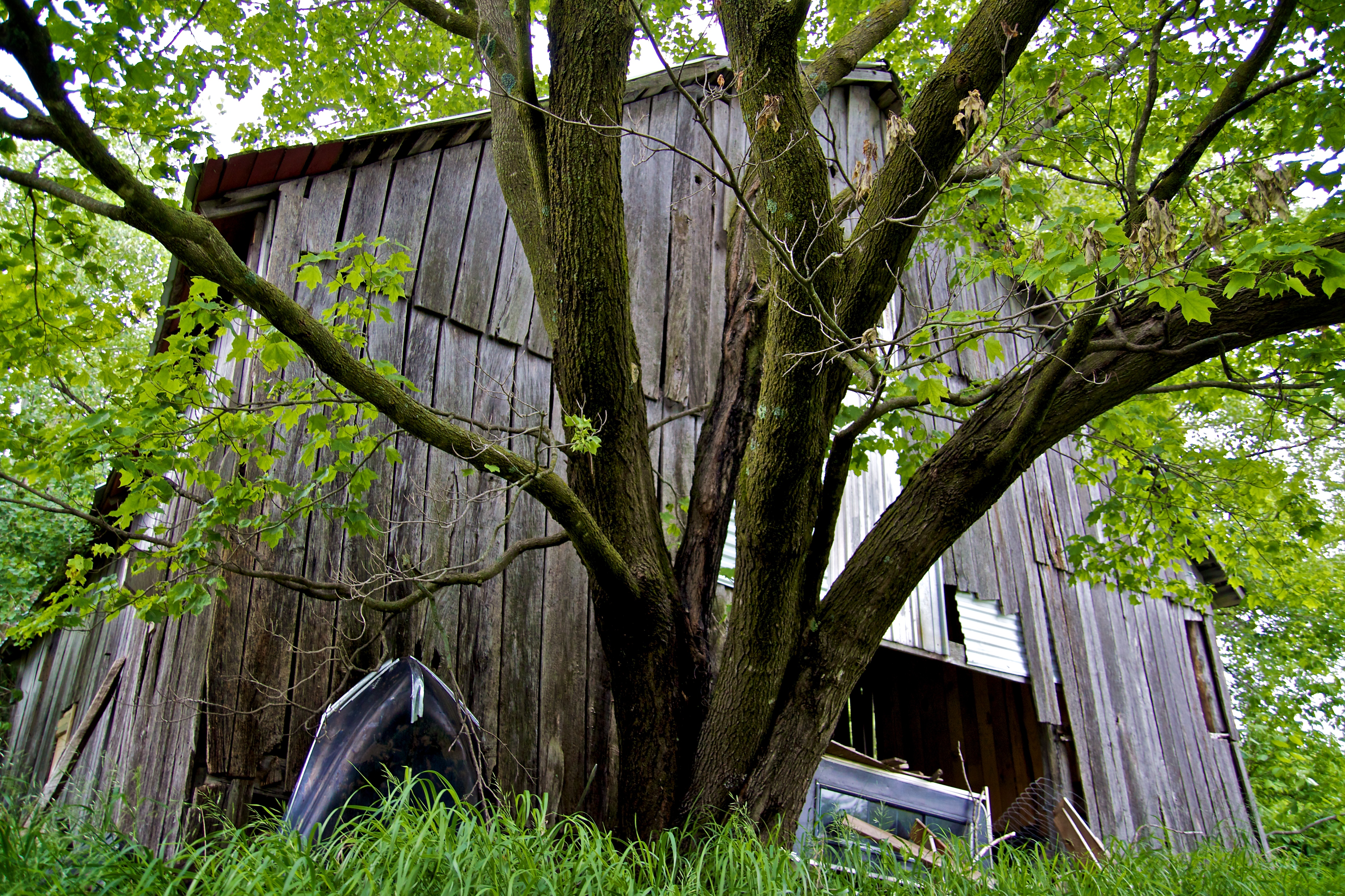
Old Barn

0815_0205 copy
Yesterday: two new all-time highs
0815_0204 copy
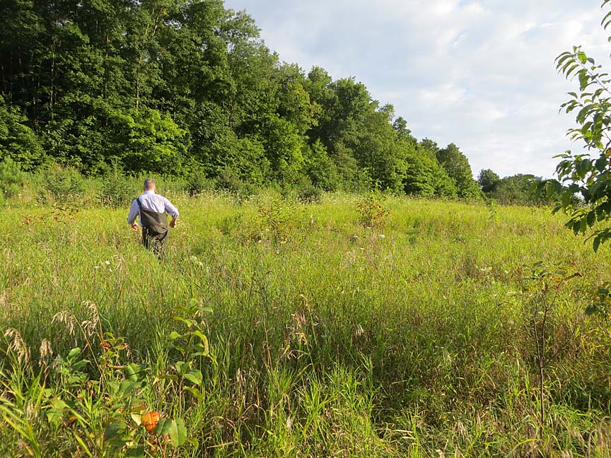
Back Forty
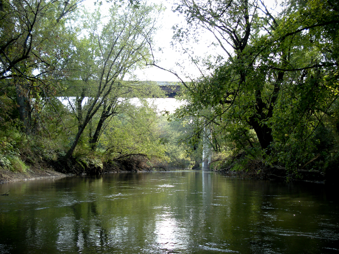
Canoe Trip 2008 (35 of 60)

S. Wisconsin 085
0816_0168 copy
0815_0202 copy
0816_0132 copy
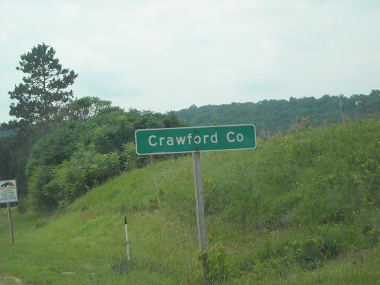
Crawford Co., WI
Topographic Map of Forest, WI, USA
Find elevation by address:

Places in Forest, WI, USA:
Places near Forest, WI, USA:
S Main St, Viola, WI, USA
Viola
225 W Exchange St
WI-, Viola, WI, USA
Sylvan
County Hwy E, Richland Center, WI, USA
County Rd D, Hillsboro, WI, USA
Marshall
116n
42912 N Clayton Rd
Bloom City
Lingel Ln, Richland Center, WI, USA
WI-56, Richland Center, WI, USA
12259 Us-61
Soldiers Grove
Clayton
Co Hwy C, Hillsboro, WI, USA
Highpoint Rd, Soldiers Grove, WI, USA
Vernon County
14538 River Rd
Recent Searches:
- Elevation of Corso Fratelli Cairoli, 35, Macerata MC, Italy
- Elevation of Tallevast Rd, Sarasota, FL, USA
- Elevation of 4th St E, Sonoma, CA, USA
- Elevation of Black Hollow Rd, Pennsdale, PA, USA
- Elevation of Oakland Ave, Williamsport, PA, USA
- Elevation of Pedrógão Grande, Portugal
- Elevation of Klee Dr, Martinsburg, WV, USA
- Elevation of Via Roma, Pieranica CR, Italy
- Elevation of Tavkvetili Mountain, Georgia
- Elevation of Hartfords Bluff Cir, Mt Pleasant, SC, USA