Elevation of S Main St, Viola, WI, USA
Location: United States > Wisconsin > Richland County >
Longitude: -90.667865
Latitude: 43.50598
Elevation: 233m / 764feet
Barometric Pressure: 99KPa
Elevation Map:
Satellite Map:
Related Photos:
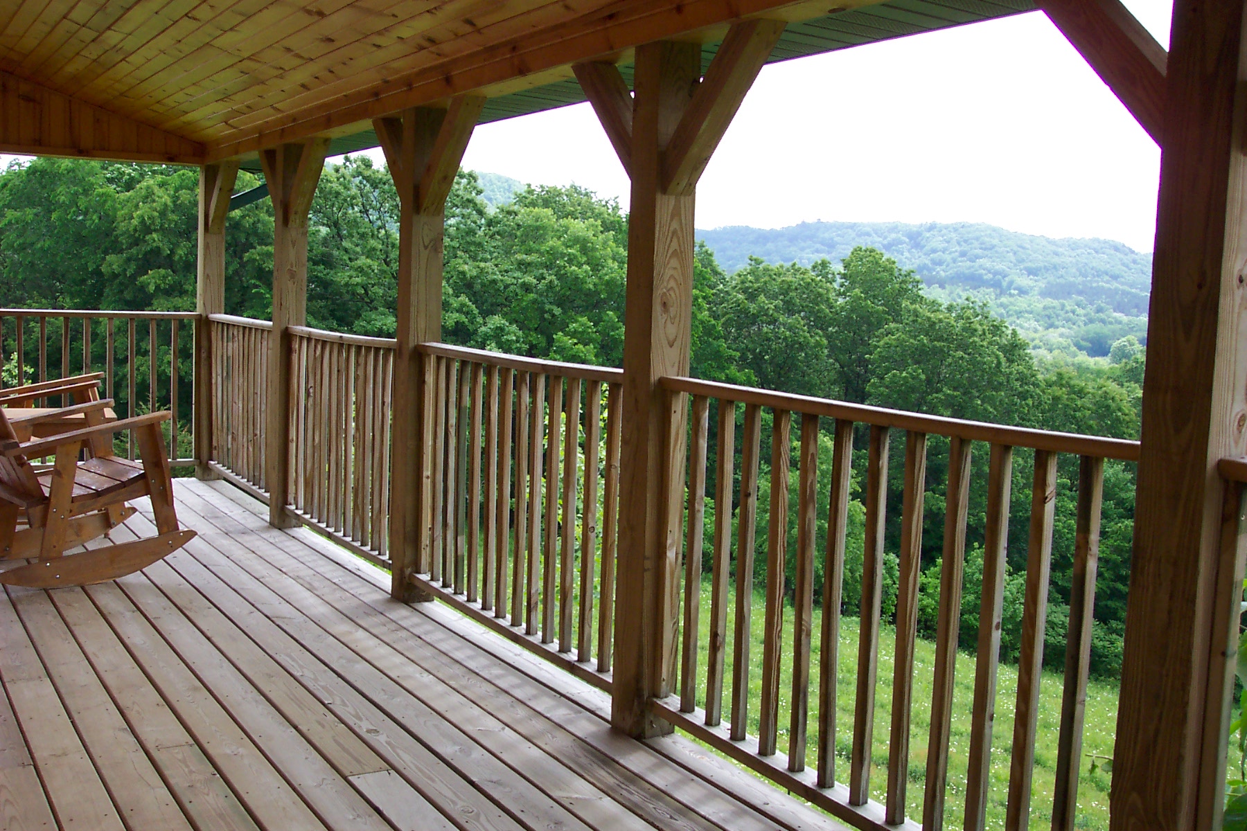
Kickapoo Valley Ranch Guest Cabins The Big Sky Getaway cabin porch with breathtaking views

Viking Inn Supper Club
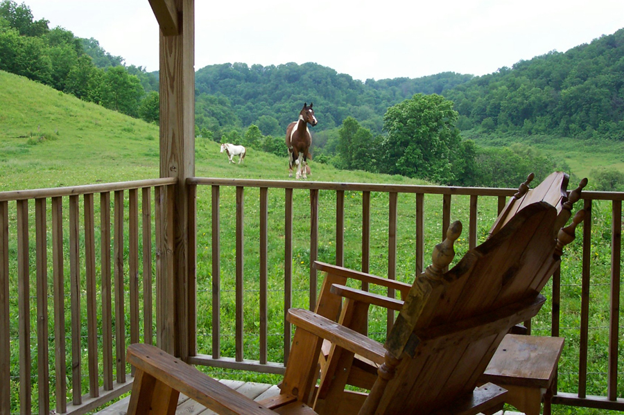
Kickapoo Valley Ranch Guest Cabins The Woodview cabin porch view
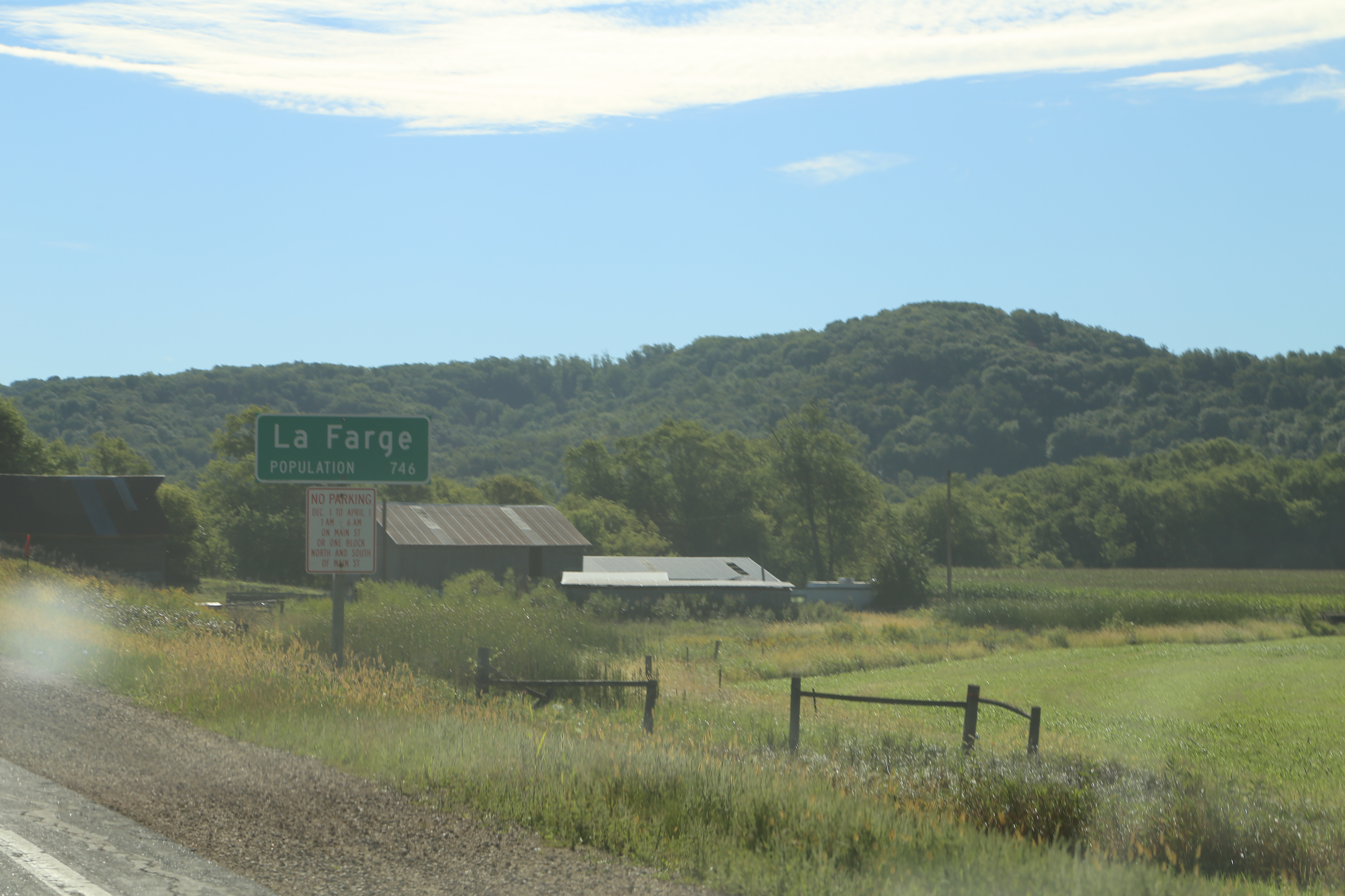
La Farge Wisconsin, Vernon County WI
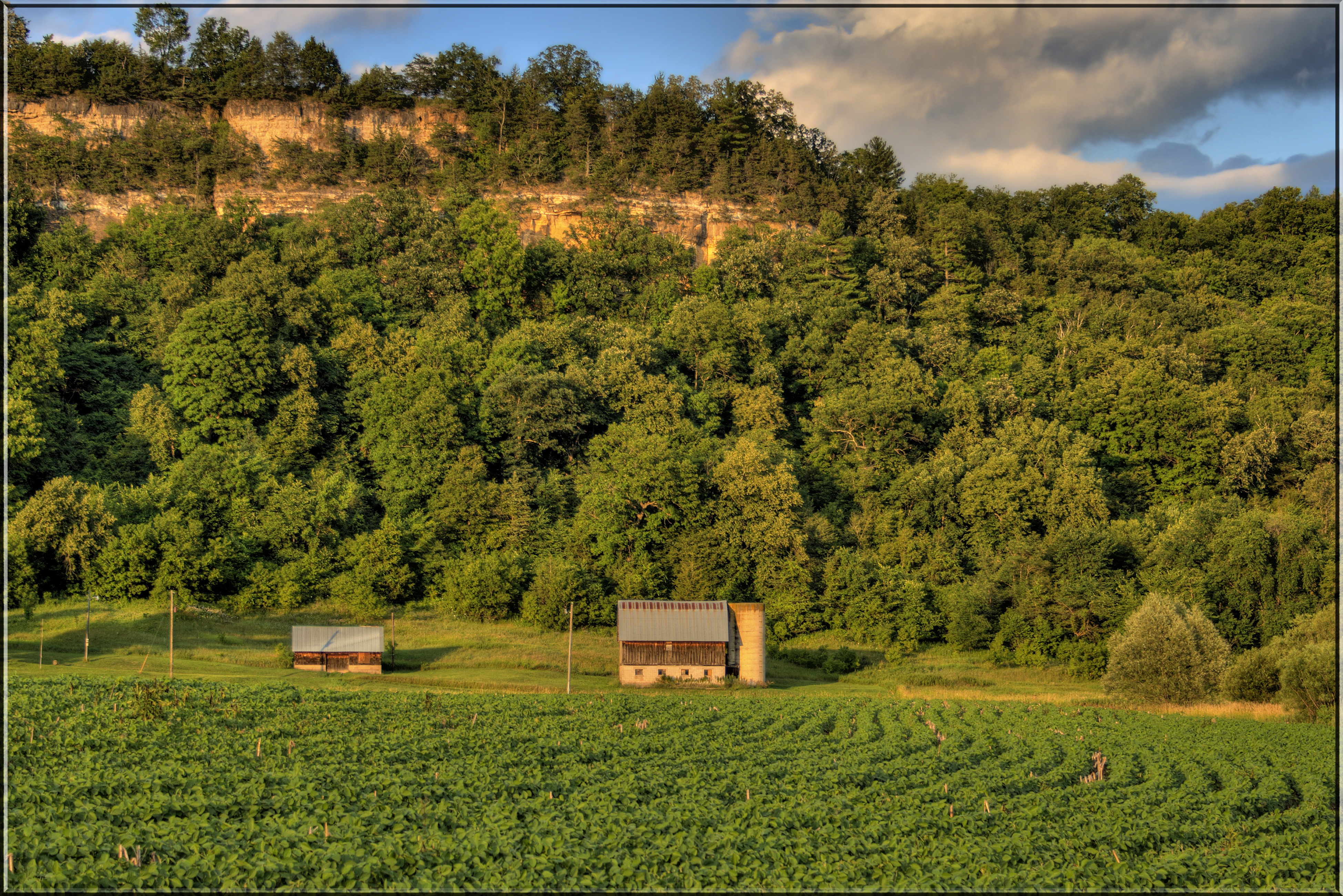
Nice Place to Build a Barn

Fences | #viroqua #driftless 2012

HDR Sunset

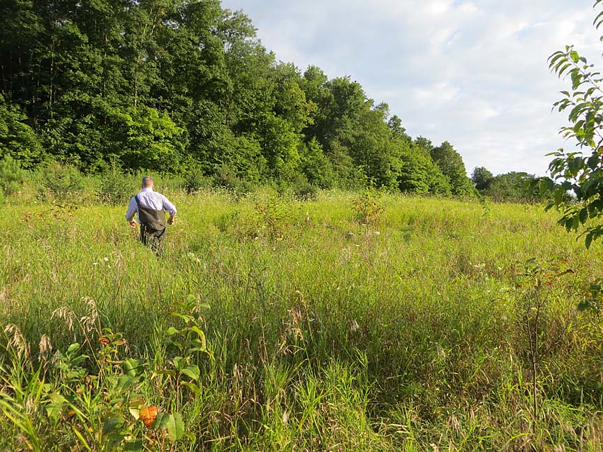
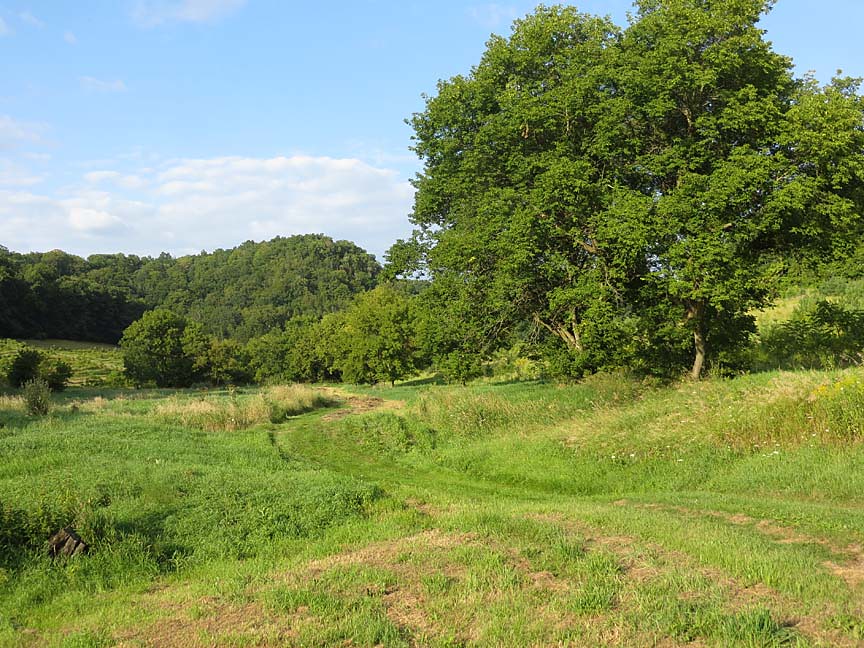
Southwestern Wisconsin

Top of the hill panorama

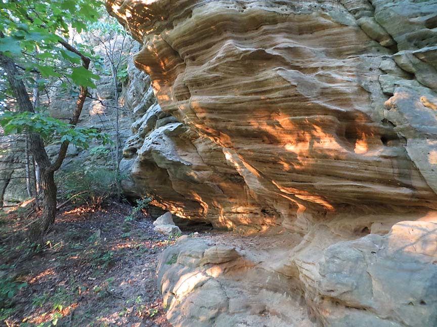
Environmental Geology Comes Home

0816_0162 copy

Maple Dale Dam

Old Barn

0815_0205 copy

Yesterday: two new all-time highs
0815_0204 copy
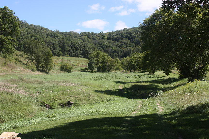
Back Forty
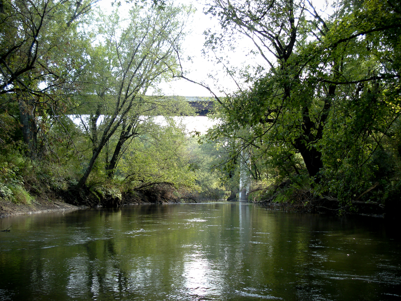
Canoe Trip 2008 (35 of 60)

Storm, the majestic one, here at the Ranch

S. Wisconsin 085
0816_0168 copy
0815_0202 copy
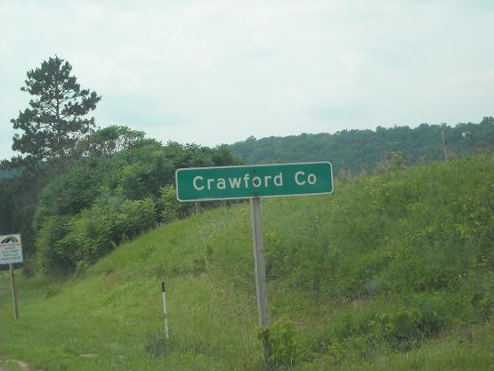
Crawford Co., WI
0816_0132 copy
Topographic Map of S Main St, Viola, WI, USA
Find elevation by address:

Places near S Main St, Viola, WI, USA:
Viola
225 W Exchange St
WI-, Viola, WI, USA
Forest
County Hwy E, Richland Center, WI, USA
Sylvan
116n
42912 N Clayton Rd
County Rd D, Hillsboro, WI, USA
12259 Us-61
Soldiers Grove
Vernon County
Highpoint Rd, Soldiers Grove, WI, USA
Clayton
Marshall
Bloom City
Lingel Ln, Richland Center, WI, USA
14538 River Rd
Viroqua
WI-56, Richland Center, WI, USA
Recent Searches:
- Elevation of Corso Fratelli Cairoli, 35, Macerata MC, Italy
- Elevation of Tallevast Rd, Sarasota, FL, USA
- Elevation of 4th St E, Sonoma, CA, USA
- Elevation of Black Hollow Rd, Pennsdale, PA, USA
- Elevation of Oakland Ave, Williamsport, PA, USA
- Elevation of Pedrógão Grande, Portugal
- Elevation of Klee Dr, Martinsburg, WV, USA
- Elevation of Via Roma, Pieranica CR, Italy
- Elevation of Tavkvetili Mountain, Georgia
- Elevation of Hartfords Bluff Cir, Mt Pleasant, SC, USA