Elevation of Copus Rd, Bakersfield, CA, USA
Location: United States > California > Kern County > Bakersfield >
Longitude: -118.98395
Latitude: 35.0954713
Elevation: 125m / 410feet
Barometric Pressure: 100KPa
Elevation Map:
Satellite Map:
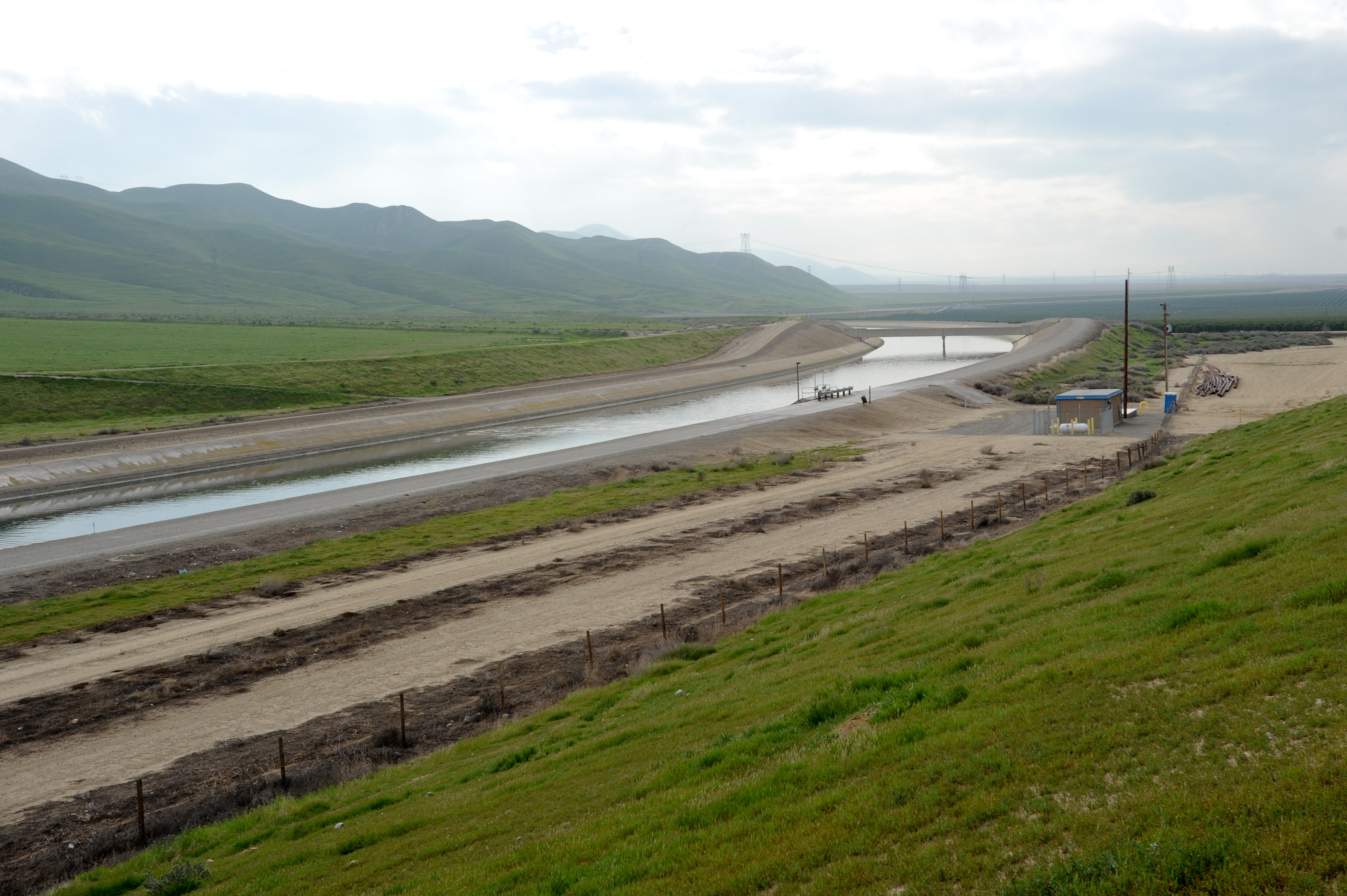
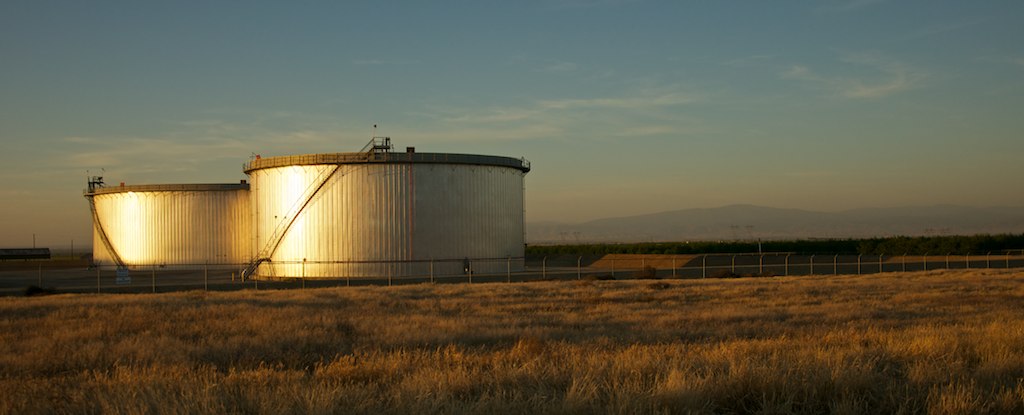
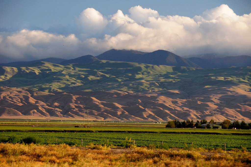
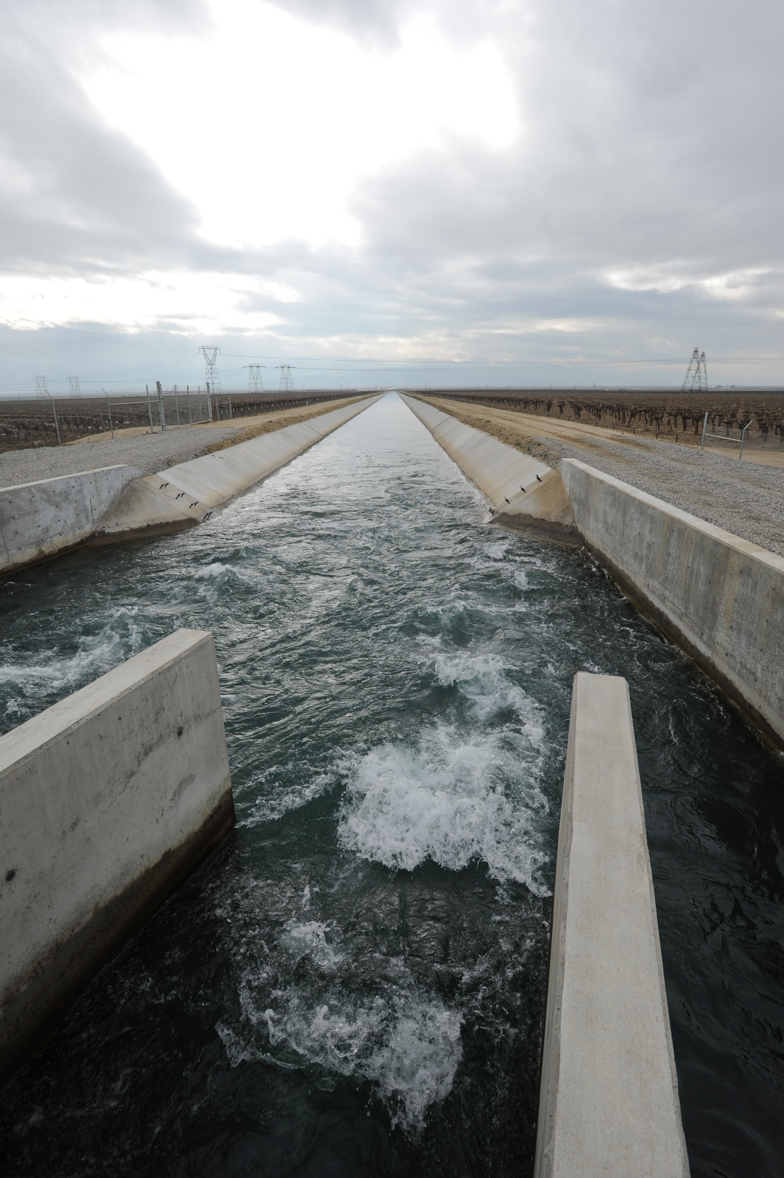
Related Photos:
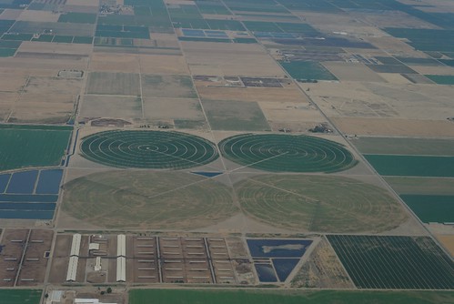
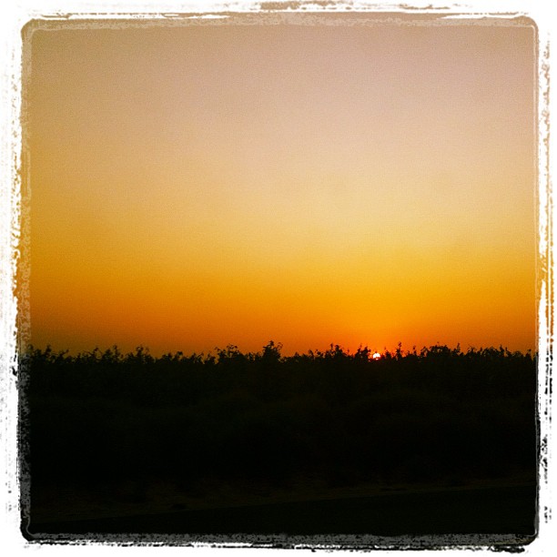
Crop circle ?
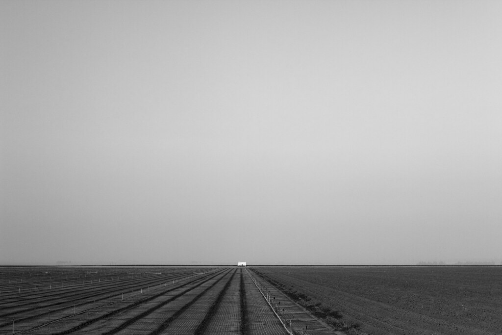
ballet of the toiling drones
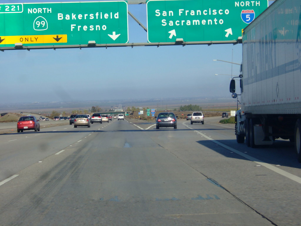
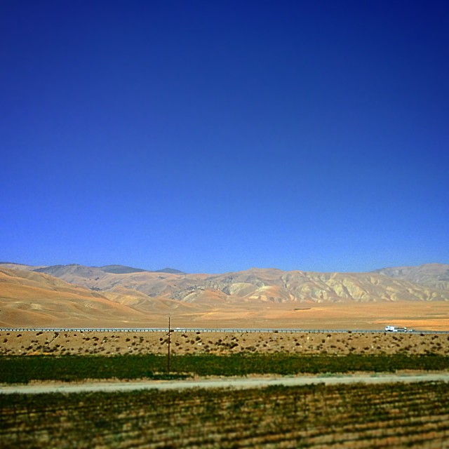
i5 views

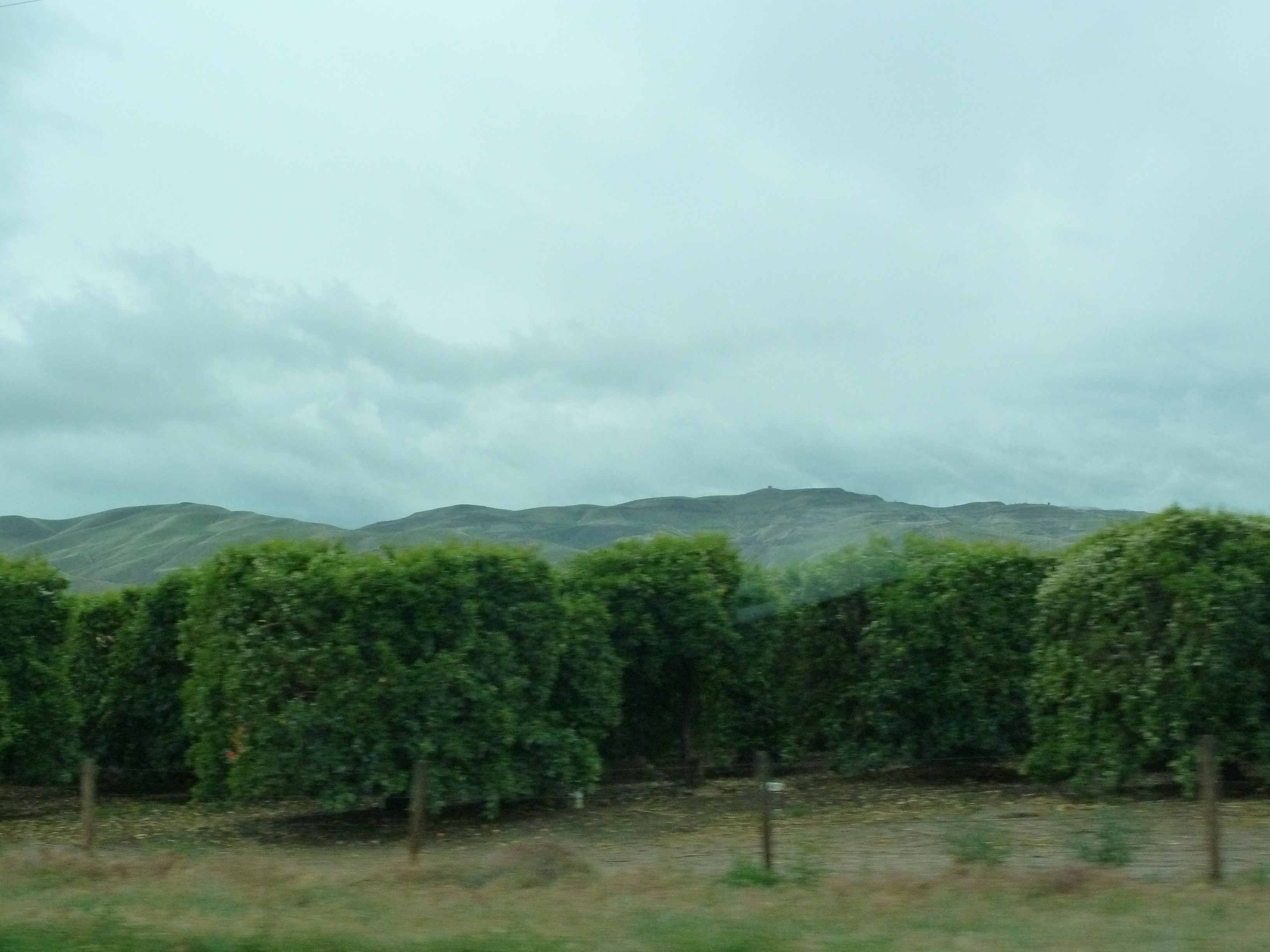
i5 views
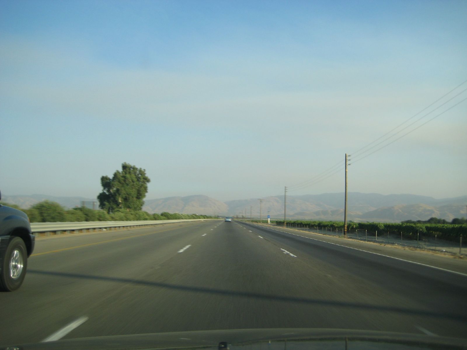
i5 views

i5 views
i5 views

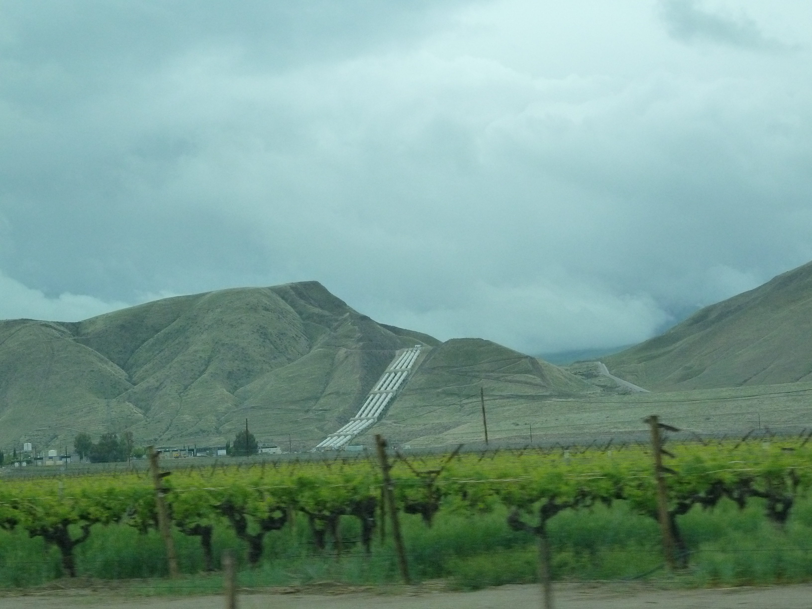
view from the road
i5 views
i5 views
i5 views
i5 views
i5 views
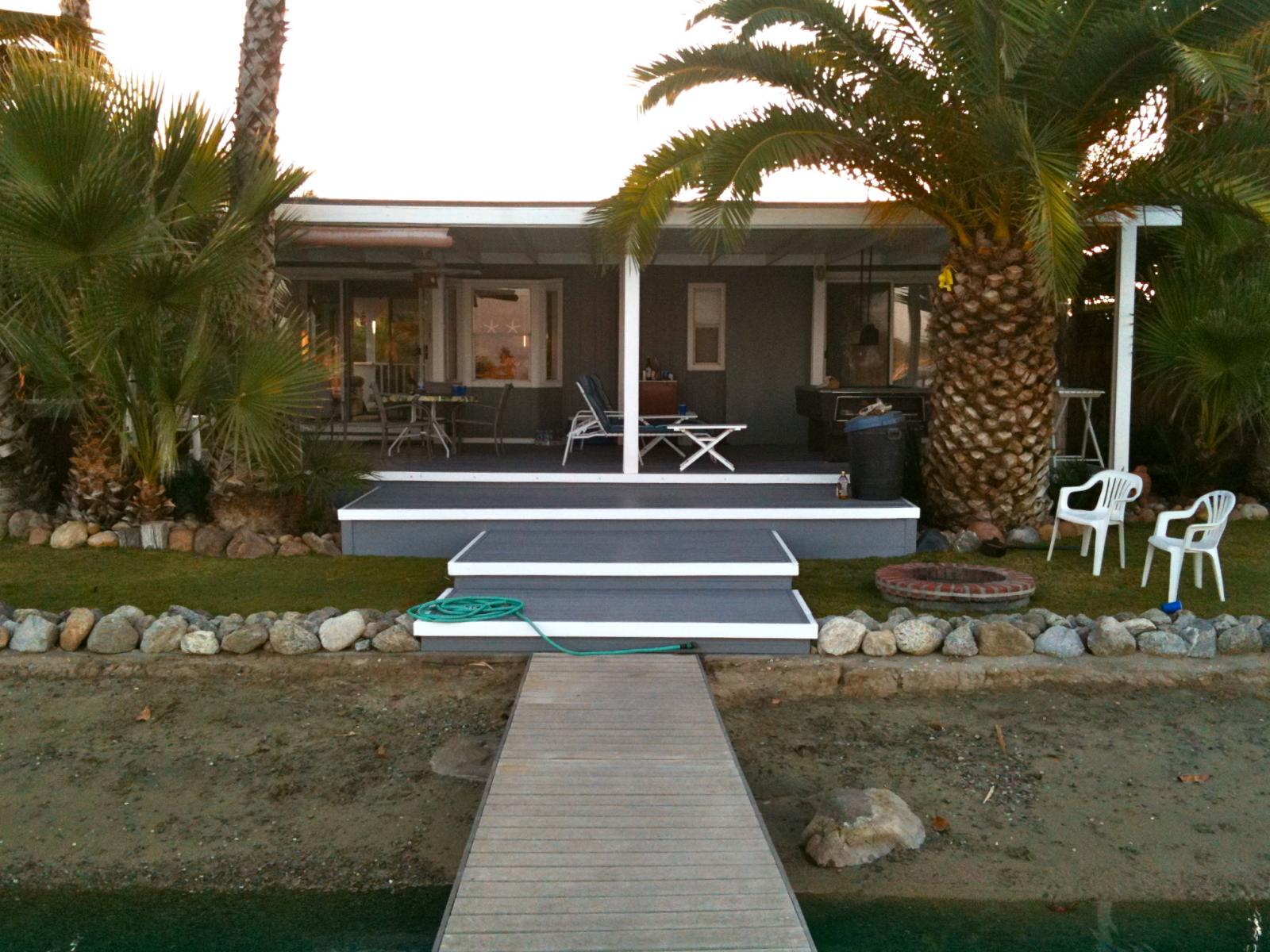
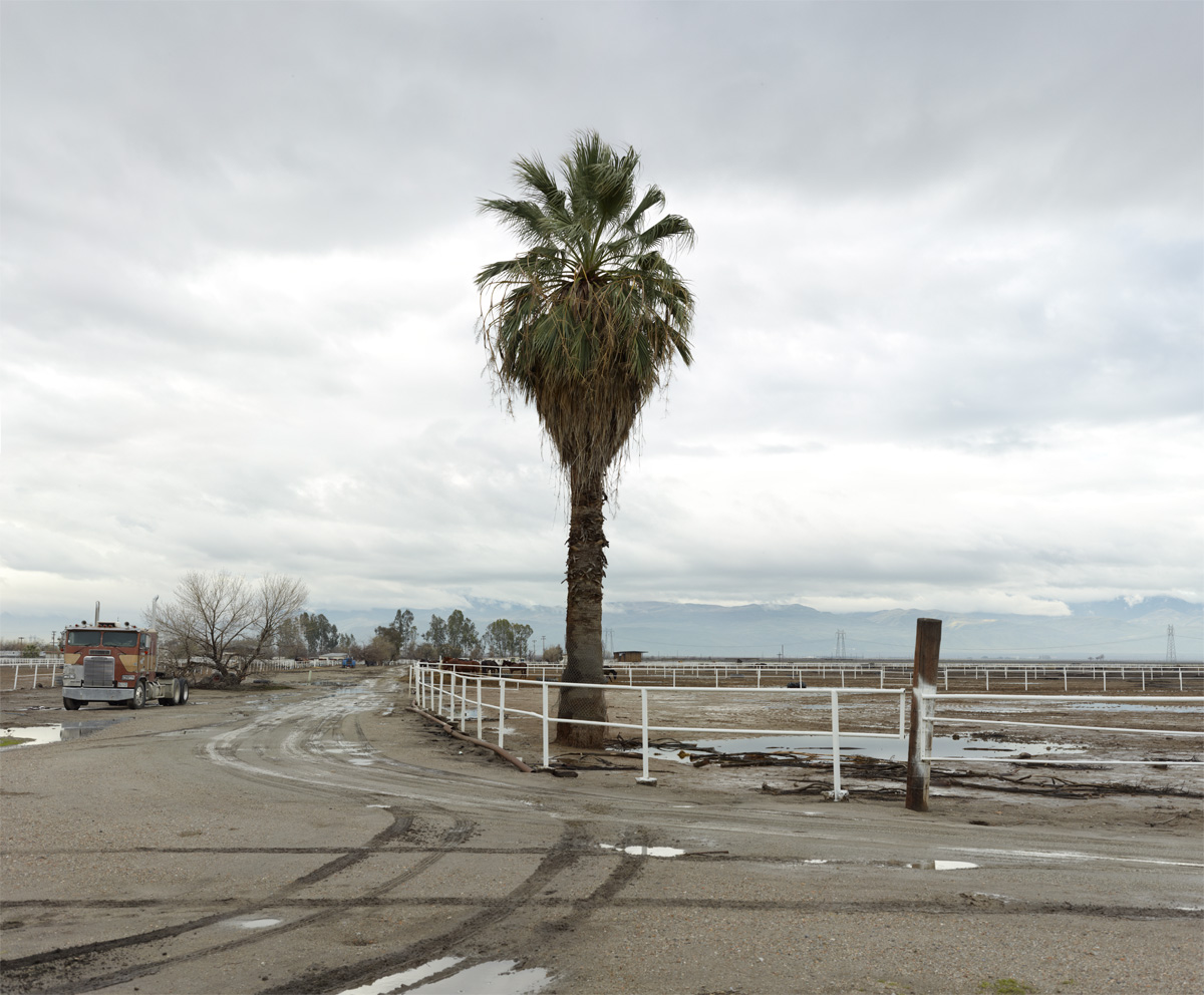
lake house
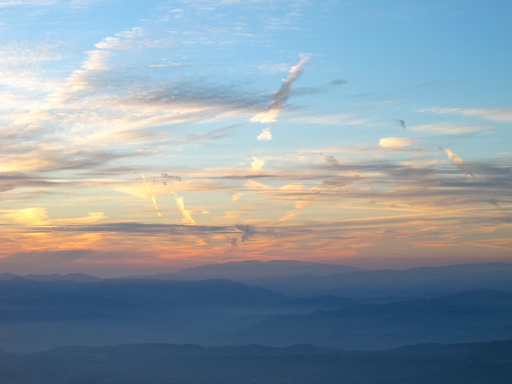
Contrails over California

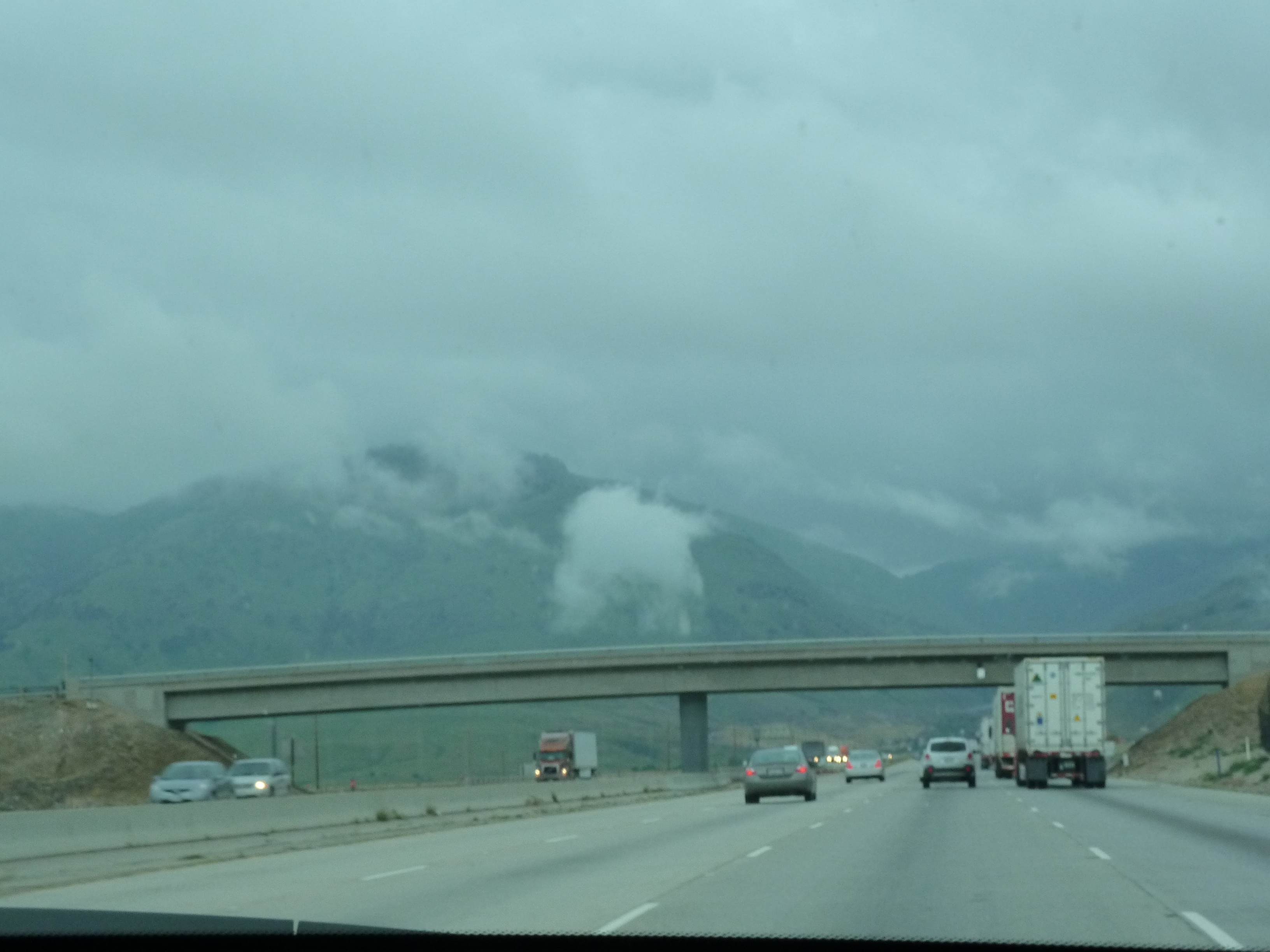
Pay attention, and you won't miss I-5... - Tuesday, December 23, 2008, 1 of 3
Pay attention, and you won't miss I-5... - Tuesday, December 23, 2008, 3 of 3
i5 views

Pay attention, and you won't miss I-5... - Tuesday, December 23, 2008, 2 of 3
highway 99 south
0P65_1342-5
2010.0224_JTP5494

On the road to SoCal
DSC_4710 5116

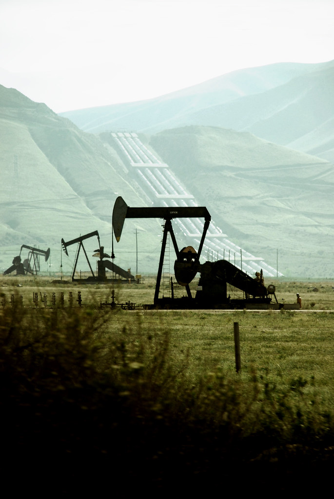
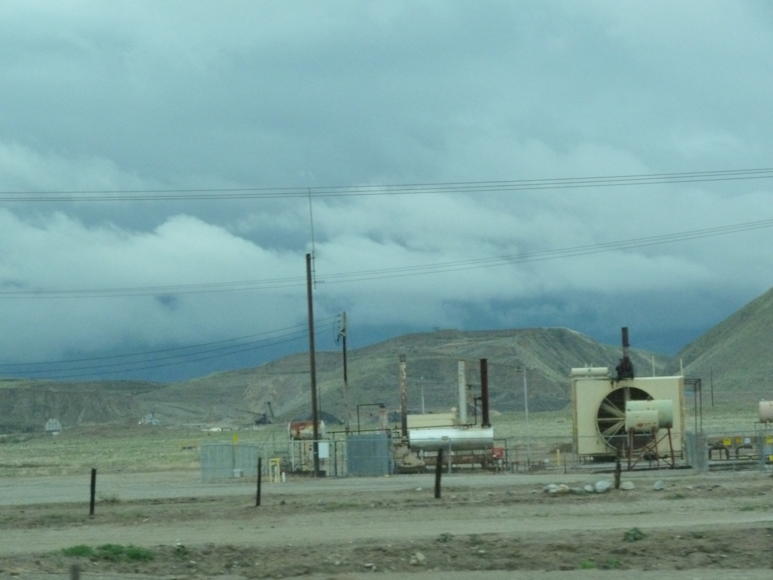
Oil well in Wheeler Ridge near Bakersfield
Sunset while driving on Highway 99/Interstate 5 South
spring sunset
#enroute #grapevine #roadtrip
2010.0224_JTP5456
sunset behind the mountains
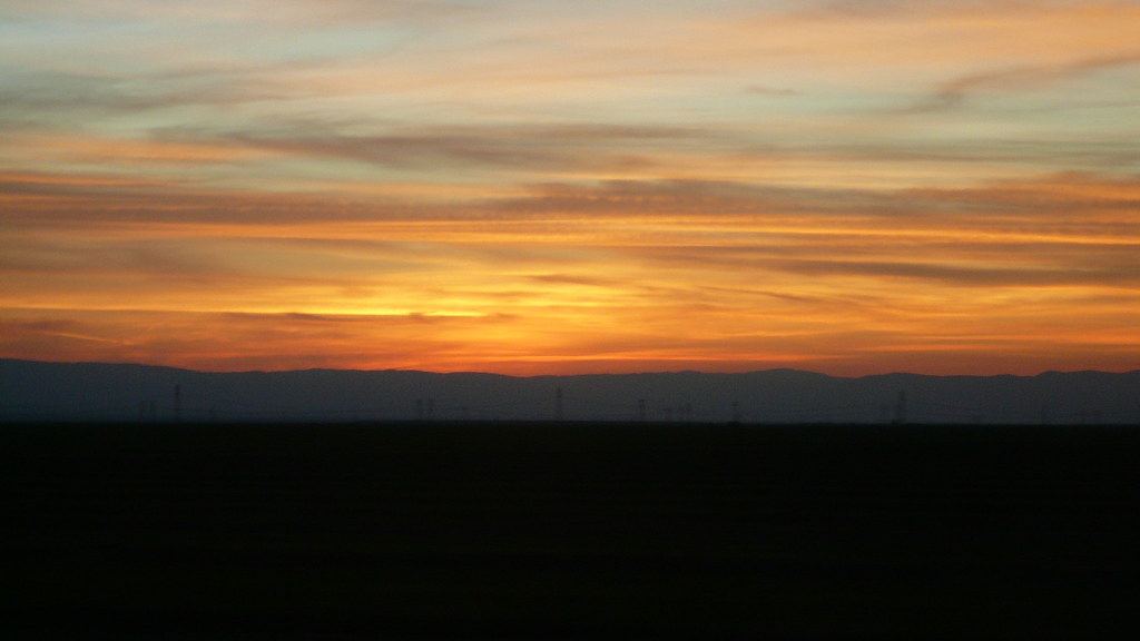
Sunset while driving on Highway 99/Interstate 5 South

The iPhone couldn't really capture the crazy light that was going on this morning as I drove through the grapevine this AM. #365project #roadtrip

Interstate 5 Northbound Golden State Freeway approaching 3/4 = 0.75 mile to Exit 219A - Laval Road East and 1 mile to Exit 219B - Laval Road West with this overhead sign located at Grapevine, California 93243.
Sunset on the 5
Cart off I-5
Topographic Map of Copus Rd, Bakersfield, CA, USA
Find elevation by address:

Places near Copus Rd, Bakersfield, CA, USA:
Mettler Frontage Rd E, Bakersfield, CA, USA
Dennis McCarthy Dr, Lebec, CA, USA
Wheeler Ridge
Grapevine
Grapevine Rd E, Lebec, CA, USA
Tejon Ranch
Fort Tejon State Historic Park
Eagle Rest Peak
Tecuya Mountain
Antimony Peak
800 Canyon Dr
South Kern Industrial Center
West End Drive
West End Drive
Willow Trail
Coldwater Dr, Frazier Park, CA, USA
Cuddy Valley
Frazier Park
3341 Los Padres Dr
Lake Of The Woods/frazier Mountain Park Rd.
Recent Searches:
- Elevation of Congressional Dr, Stevensville, MD, USA
- Elevation of Bellview Rd, McLean, VA, USA
- Elevation of Stage Island Rd, Chatham, MA, USA
- Elevation of Shibuya Scramble Crossing, 21 Udagawacho, Shibuya City, Tokyo -, Japan
- Elevation of Jadagoniai, Kaunas District Municipality, Lithuania
- Elevation of Pagonija rock, Kranto 7-oji g. 8"N, Kaunas, Lithuania
- Elevation of Co Rd 87, Jamestown, CO, USA
- Elevation of Tenjo, Cundinamarca, Colombia
- Elevation of Côte-des-Neiges, Montreal, QC H4A 3J6, Canada
- Elevation of Bobcat Dr, Helena, MT, USA