Elevation of Wheeler Ridge, CA, USA
Location: United States > California > Kern County >
Longitude: -118.94462
Latitude: 34.9890723
Elevation: 331m / 1086feet
Barometric Pressure: 97KPa
Elevation Map:
Satellite Map:
Related Photos:

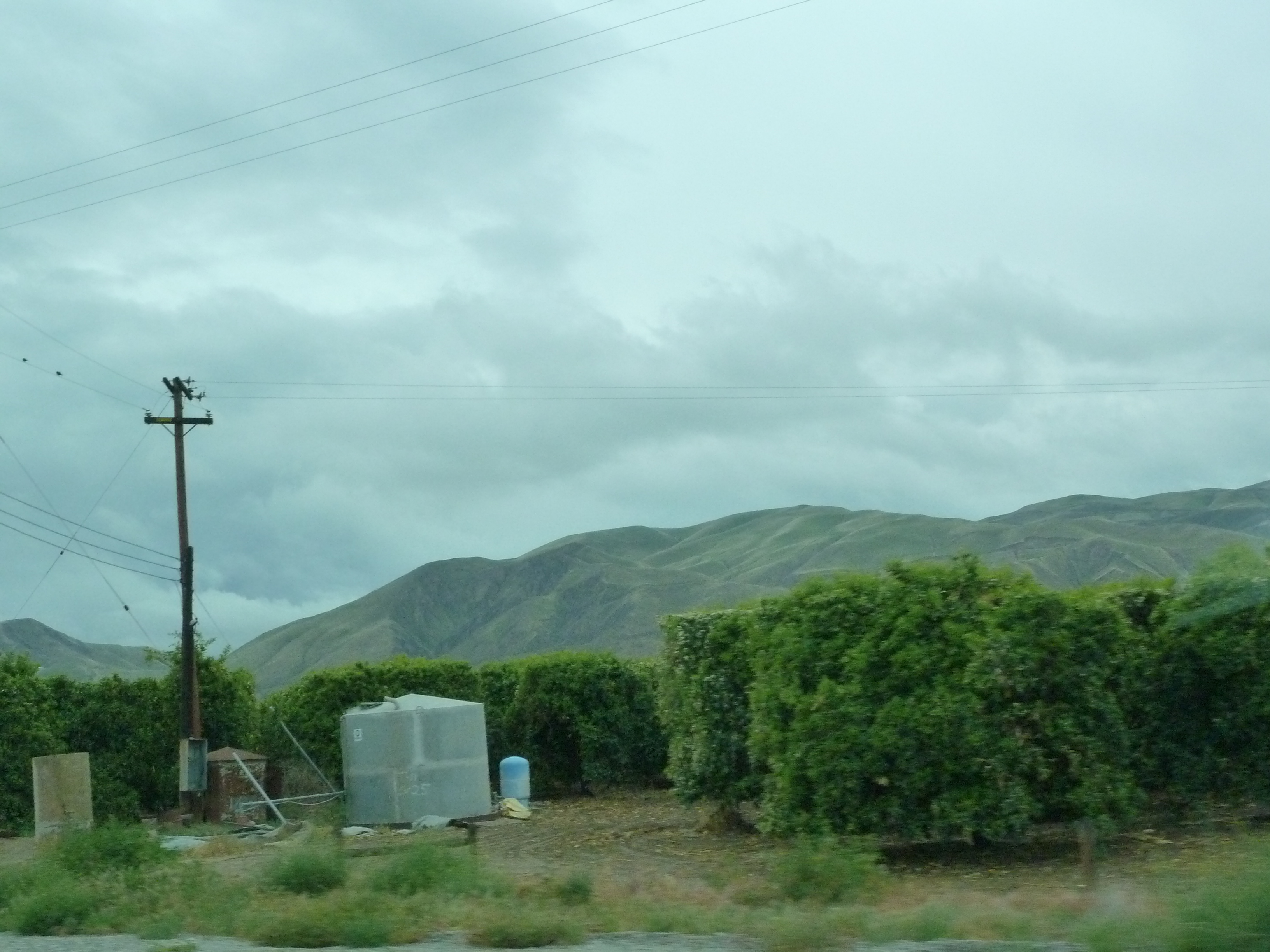
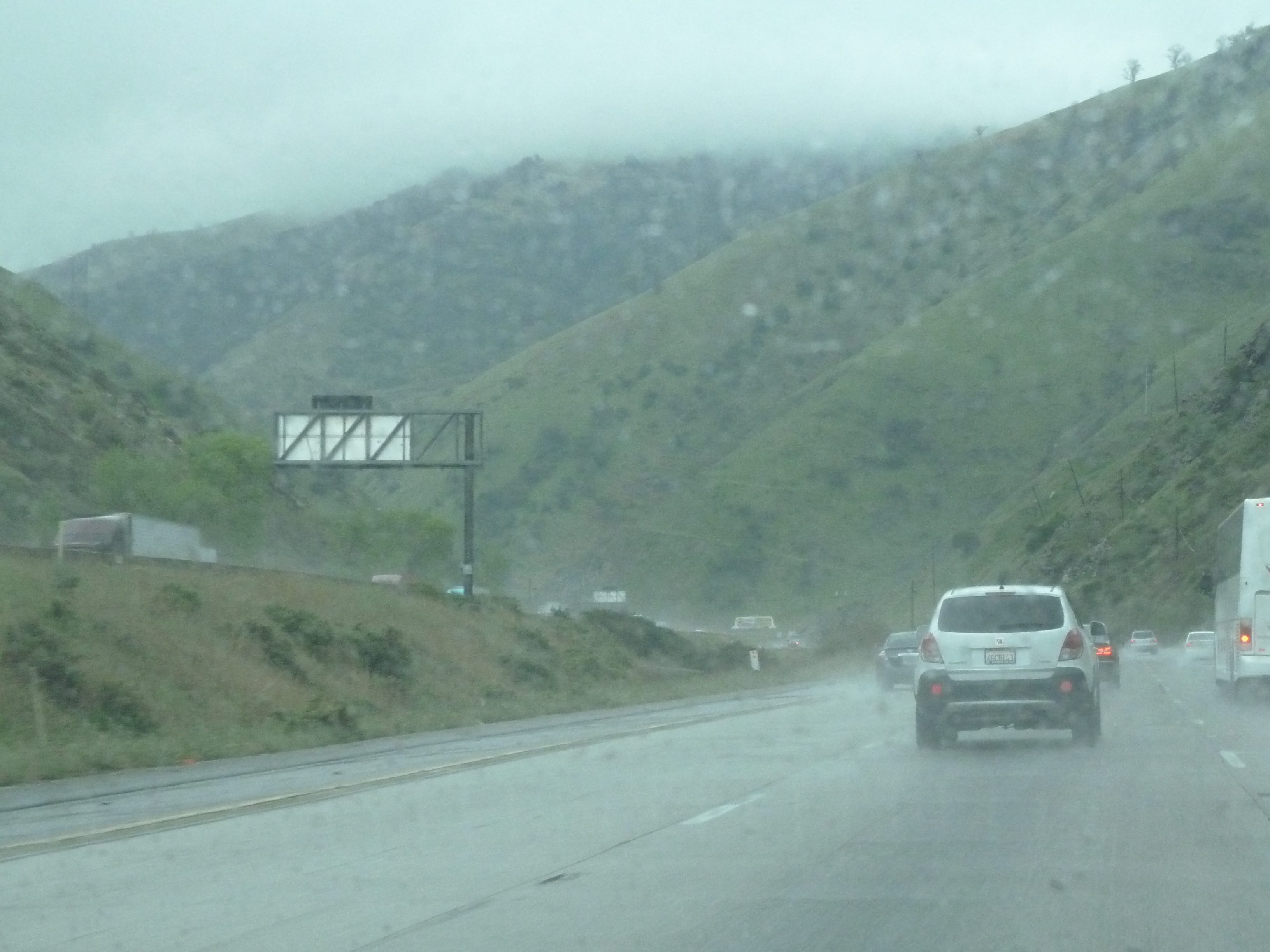
i5 views
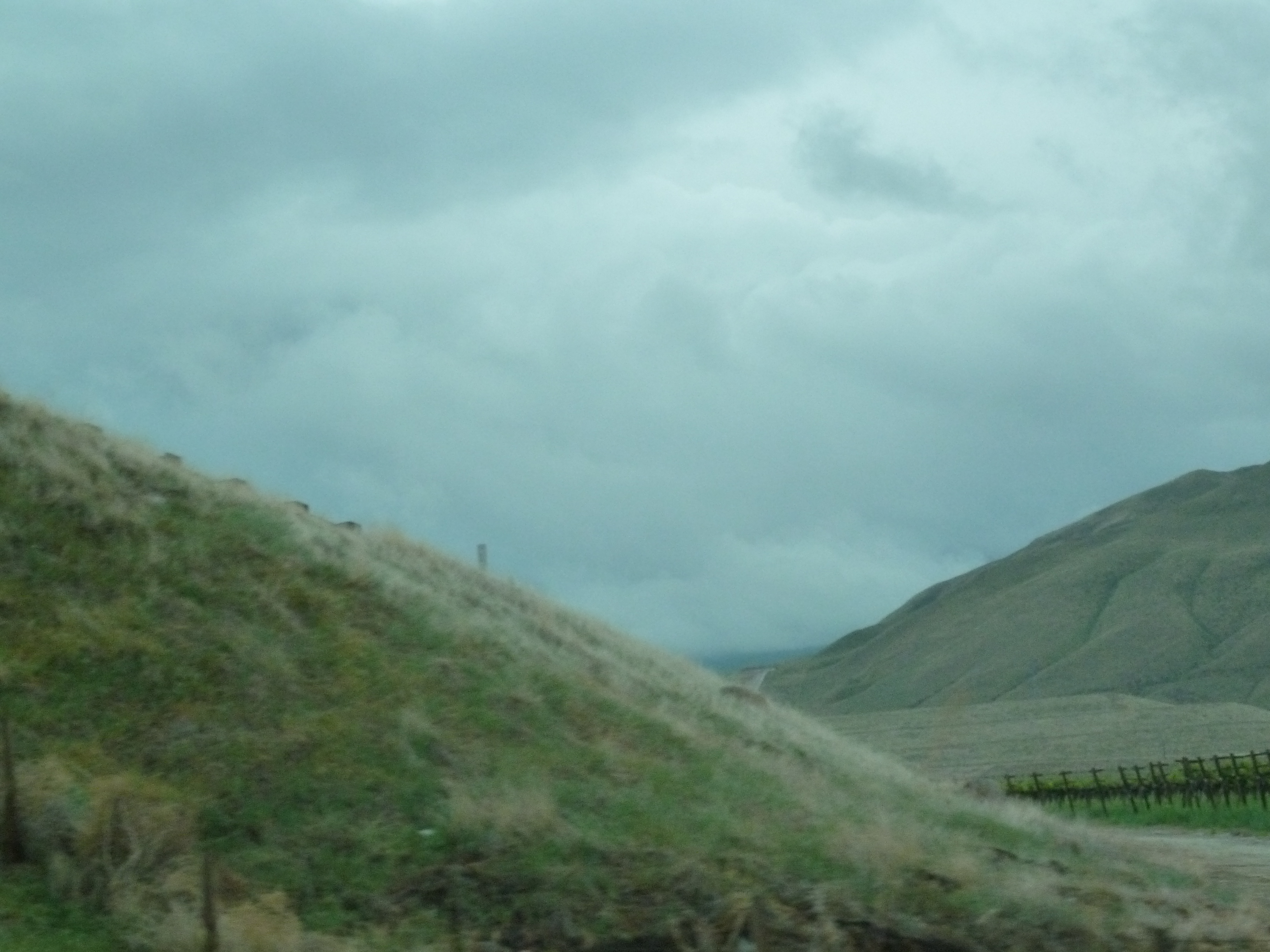
i5 views
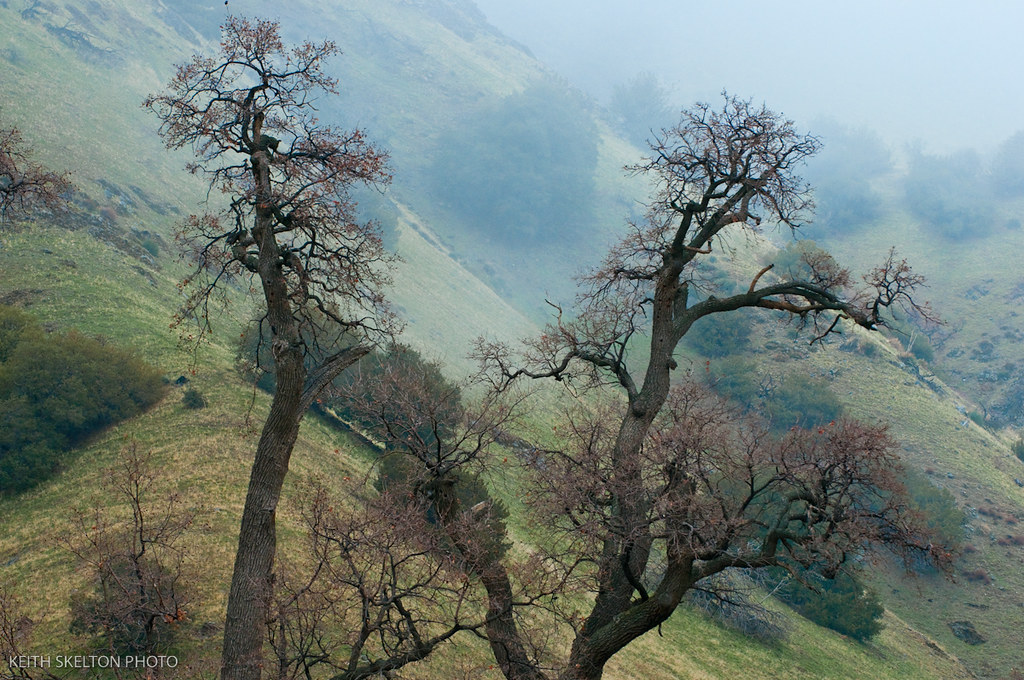
Winter in the Tejon Pass California
i5 views

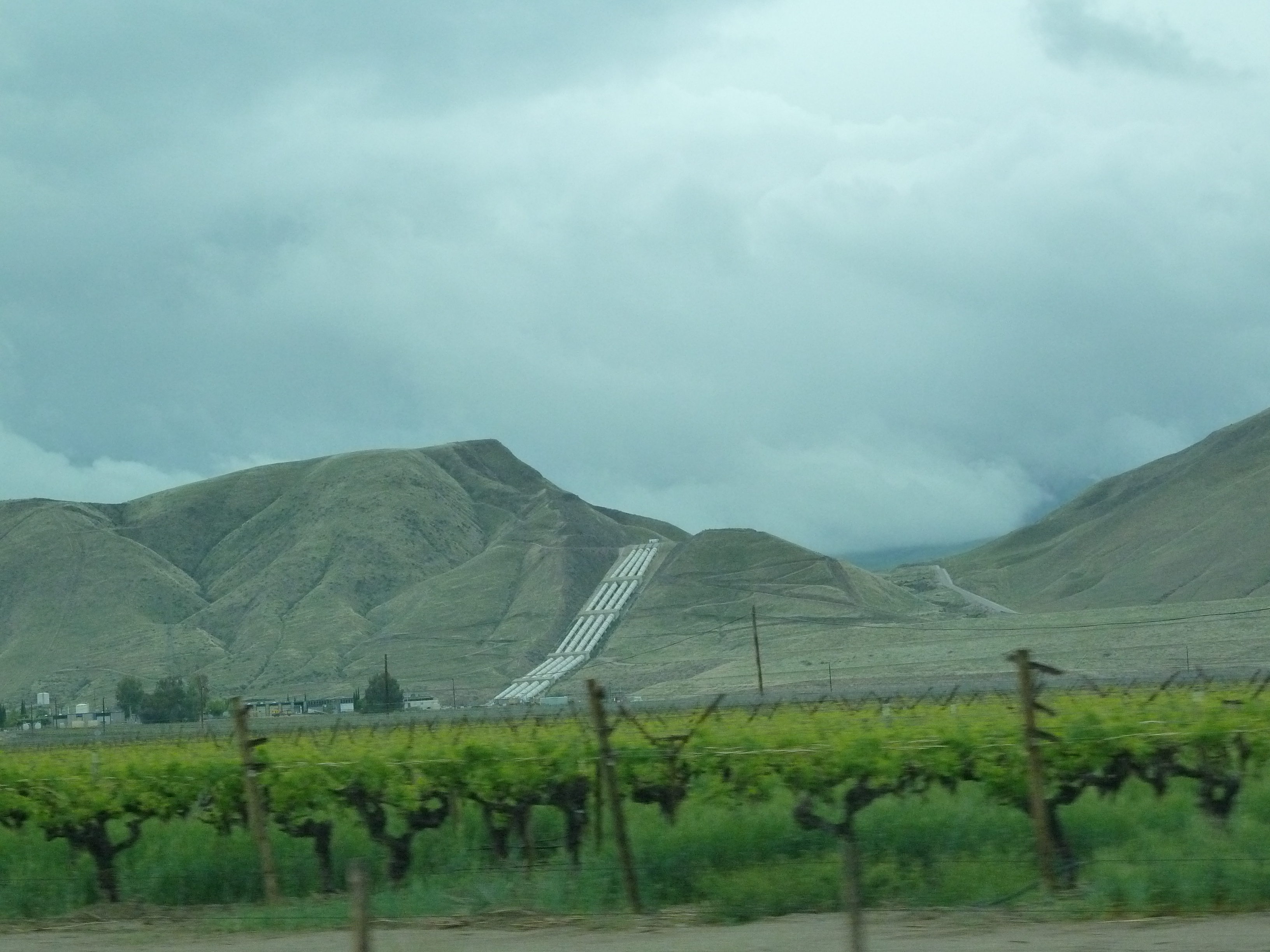
view from the road
i5 views
i5 views
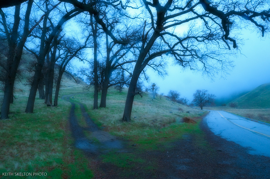
Winter in the Tejon Pass California

Winter in the Tejon Pass California

Winter in the Tejon Pass California
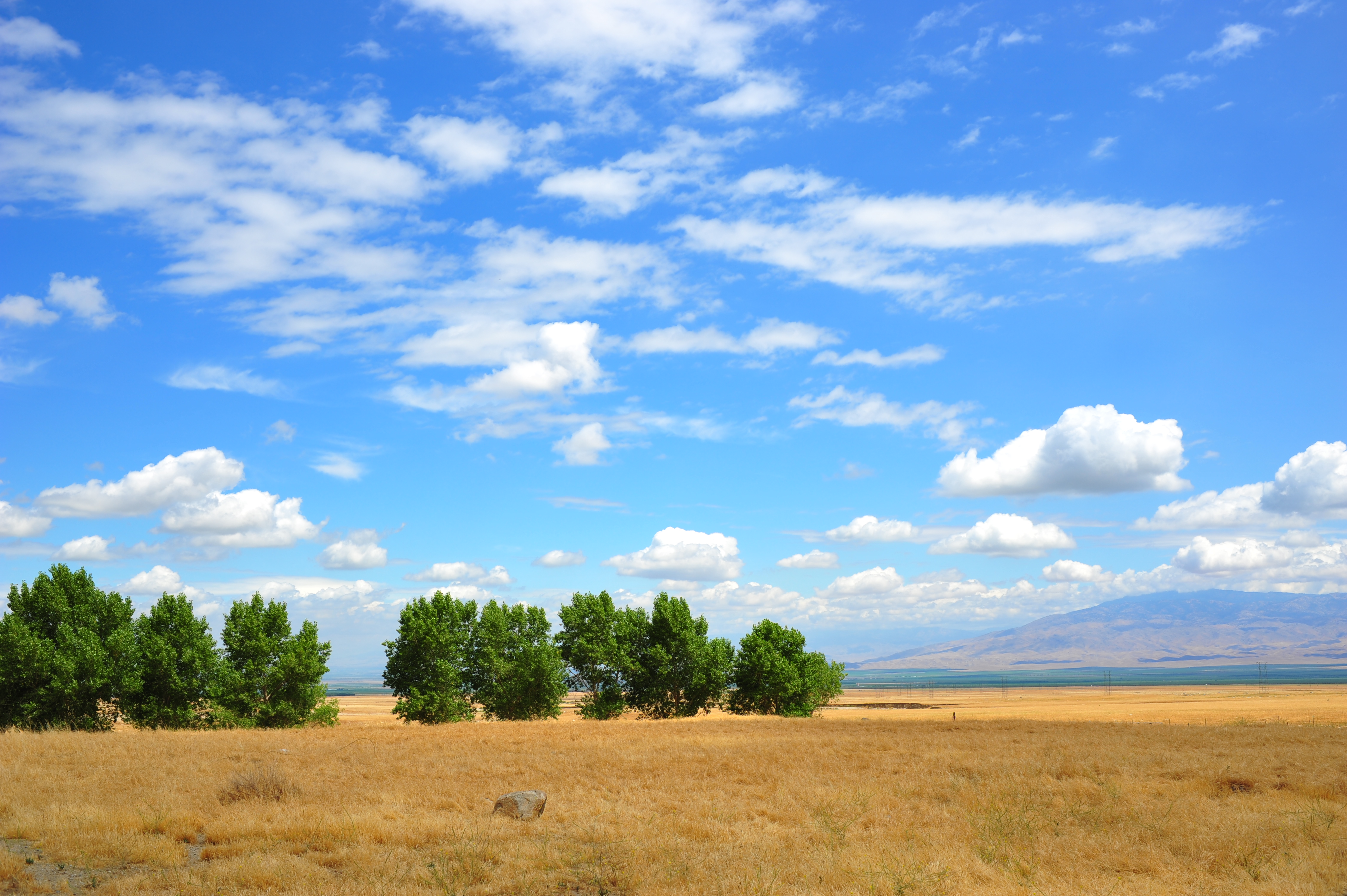
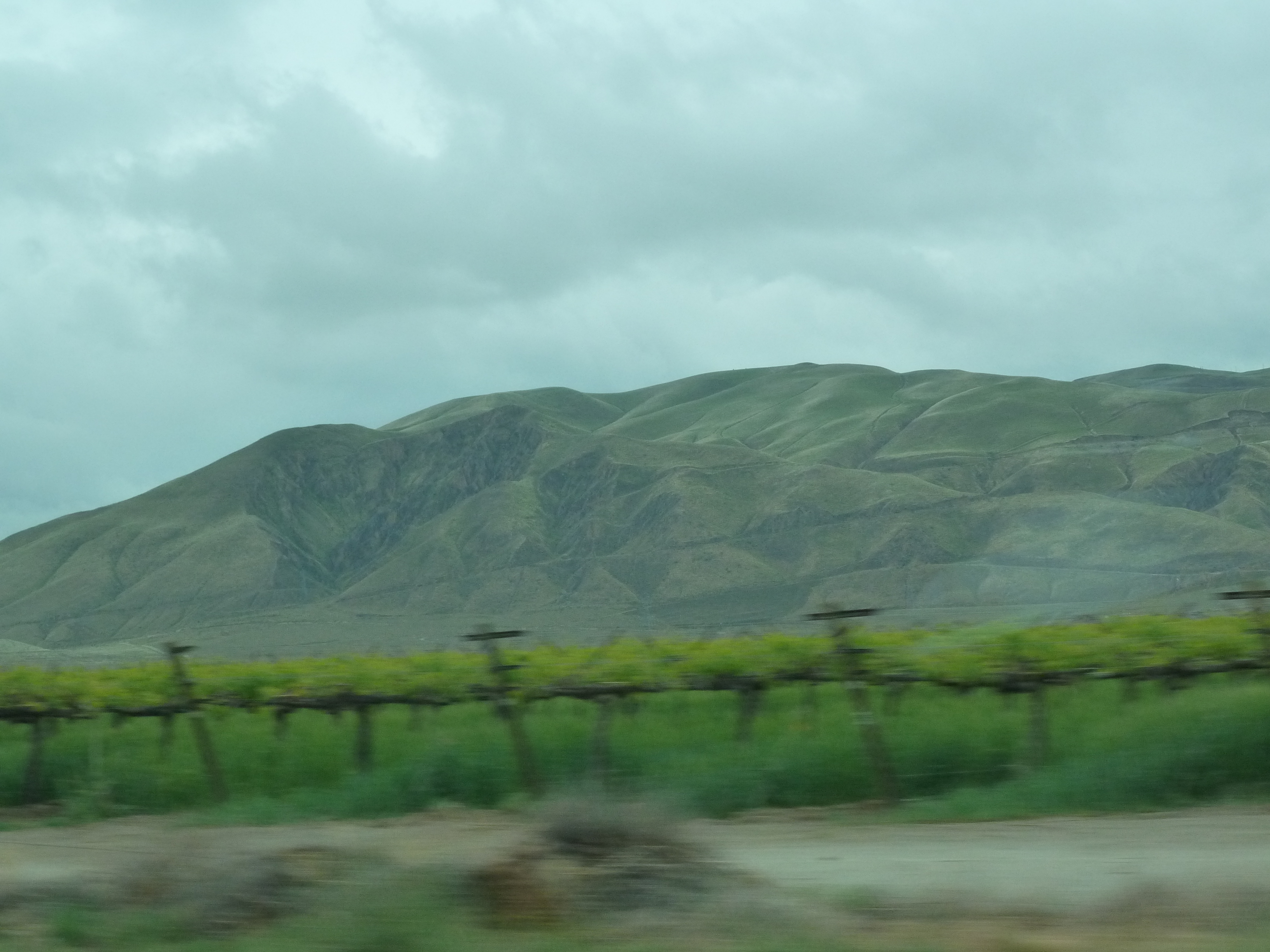
Open Plains
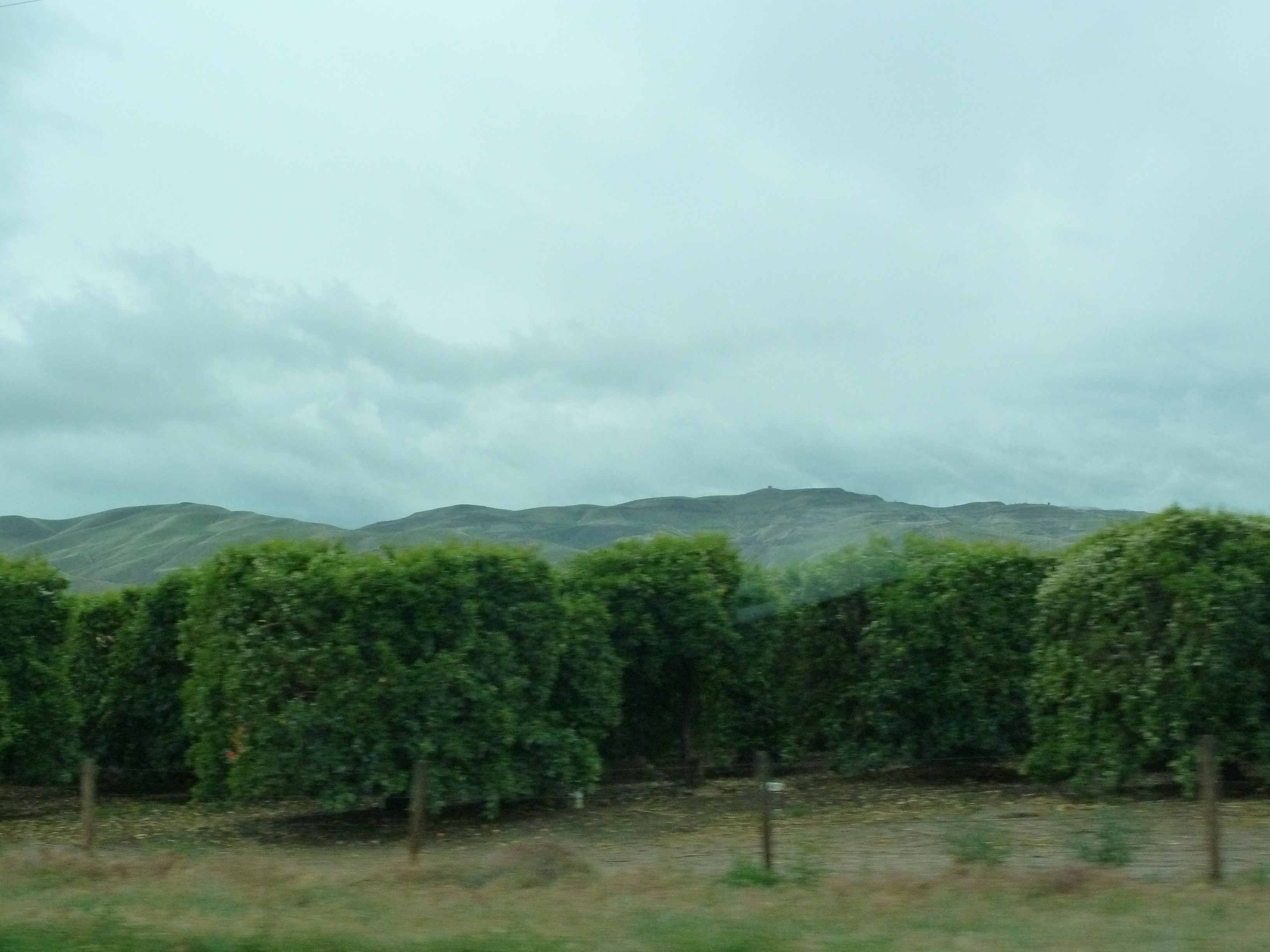
i5 views
i5 views
Topographic Map of Wheeler Ridge, CA, USA
Find elevation by address:

Places near Wheeler Ridge, CA, USA:
Dennis McCarthy Dr, Lebec, CA, USA
Grapevine
Grapevine Rd E, Lebec, CA, USA
Mettler Frontage Rd E, Bakersfield, CA, USA
8112 Copus Rd
Tejon Ranch
Fort Tejon State Historic Park
800 Canyon Dr
Tecuya Mountain
West End Drive
West End Drive
Willow Trail
Frazier Park
3341 Los Padres Dr
Lebec
Encino Trail
Interstate 5
Lake Of The Woods/frazier Mountain Park Rd.
55 Fir Dr, Frazier Park, CA, USA
Lake Of The Woods
Recent Searches:
- Elevation of Corso Fratelli Cairoli, 35, Macerata MC, Italy
- Elevation of Tallevast Rd, Sarasota, FL, USA
- Elevation of 4th St E, Sonoma, CA, USA
- Elevation of Black Hollow Rd, Pennsdale, PA, USA
- Elevation of Oakland Ave, Williamsport, PA, USA
- Elevation of Pedrógão Grande, Portugal
- Elevation of Klee Dr, Martinsburg, WV, USA
- Elevation of Via Roma, Pieranica CR, Italy
- Elevation of Tavkvetili Mountain, Georgia
- Elevation of Hartfords Bluff Cir, Mt Pleasant, SC, USA