Elevation of Grapevine, CA, USA
Location: United States > California > Kern County >
Longitude: -118.93144
Latitude: 34.9419271
Elevation: 457m / 1499feet
Barometric Pressure: 96KPa
Elevation Map:
Satellite Map:
Related Photos:
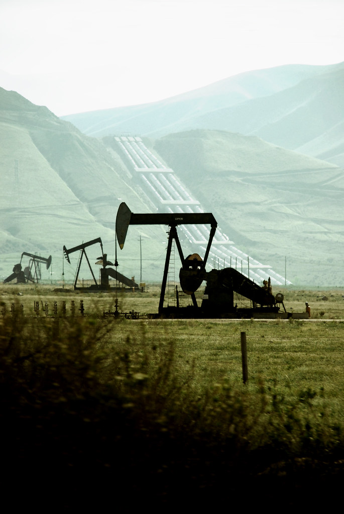
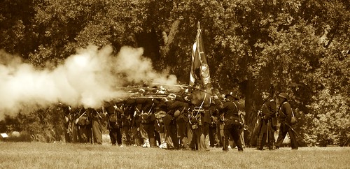
ballet of the toiling drones
Winter in the Tejon Pass California
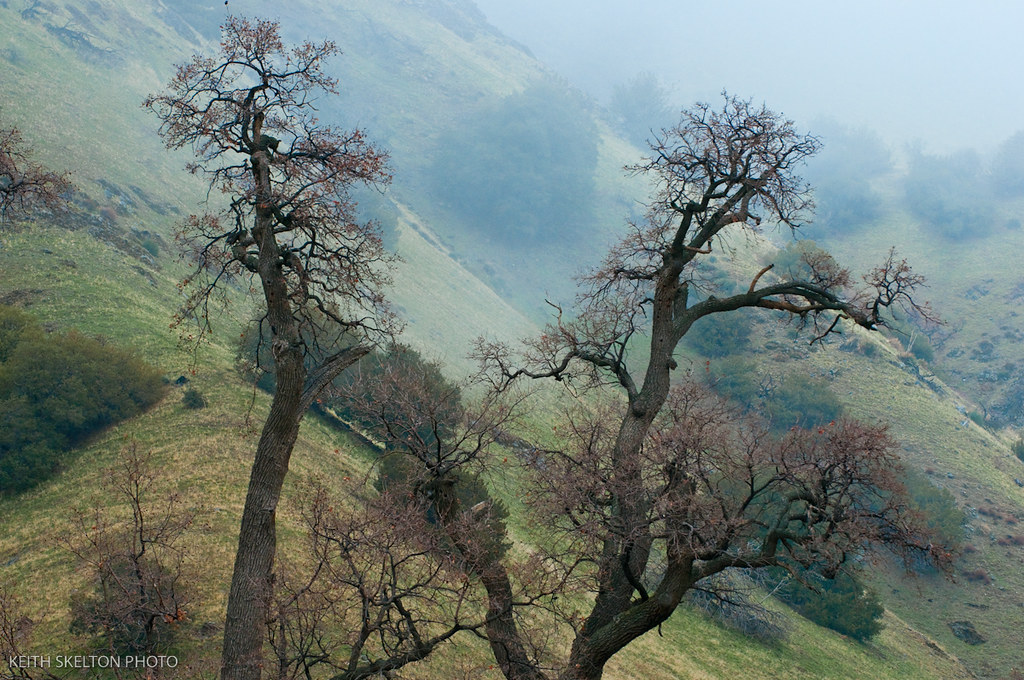
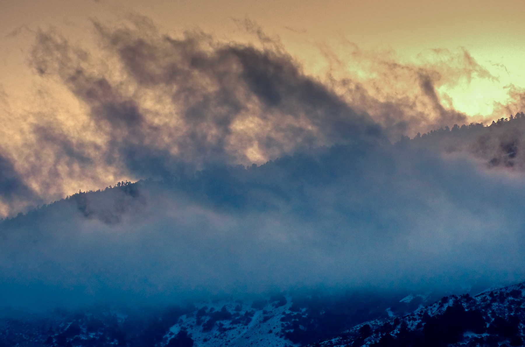
Above the San Andreas fault, Gorman, and Frazier Park
Tejon Pass

view from the road

What you can do - TRUST
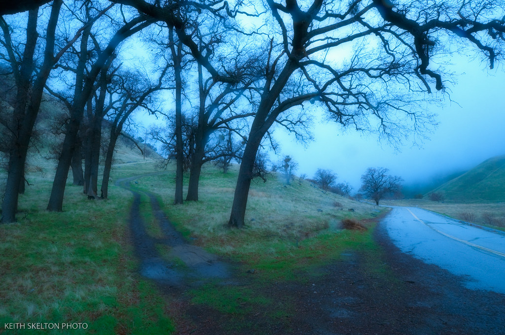
Winter in the Tejon Pass California
Tejon Pass, Southern California Winter

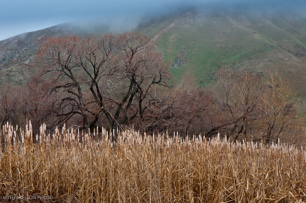
Winter in the Tejon Pass California

Interstate 5 Southbound Golden State Freeway approaching Exit 205 - Mount Pinos Recreation Area + skiing, hiking, camping, binocular viewing point next exit with this roadside sign located at Kern County - Lebec, California.
Winter in the Tejon Pass California

Low view.

Winter in the Tejon Pass California
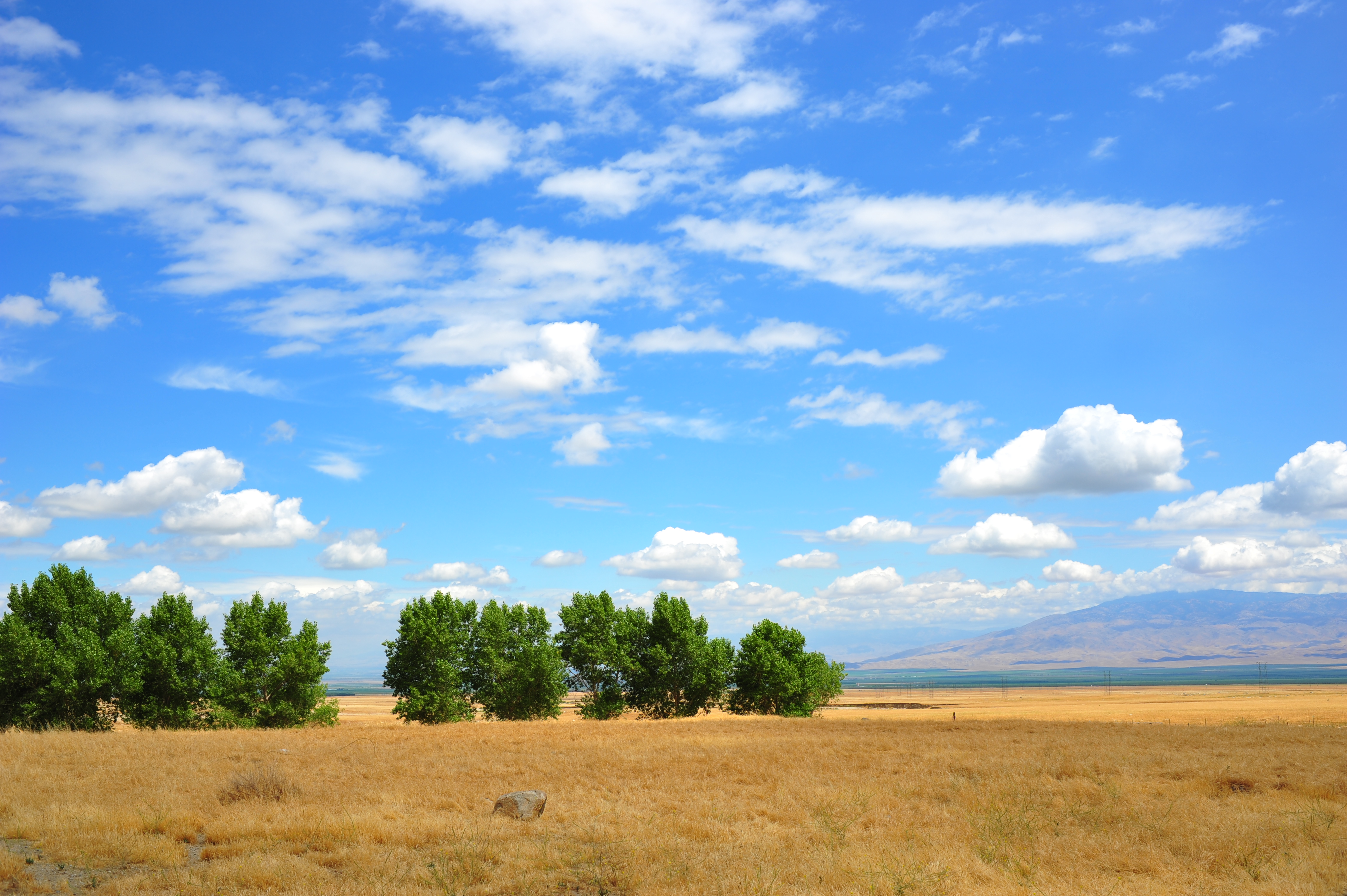
Open Plains

The View
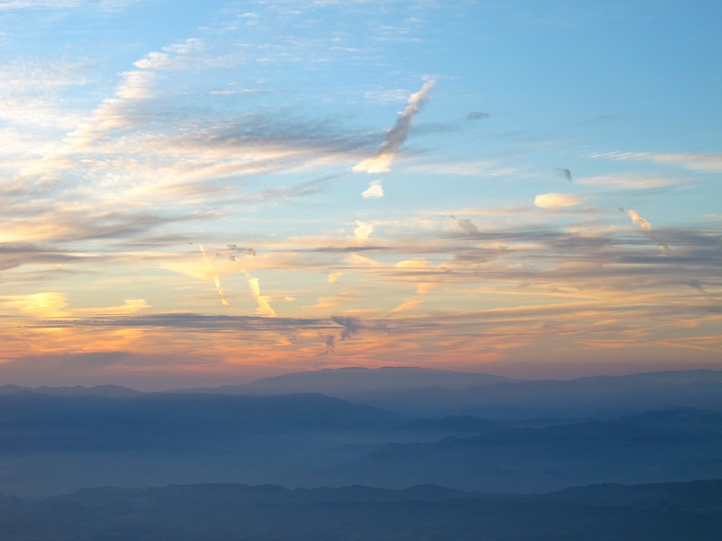
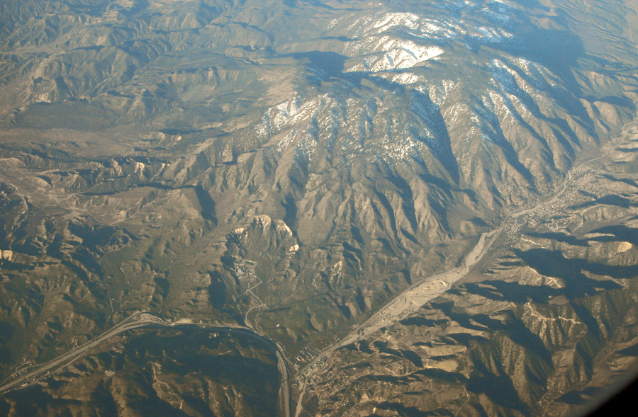
Contrails over California

Pay attention, and you won't miss I-5... - Tuesday, December 23, 2008, 1 of 3

Picture A Day #164 - Tejon Ranch
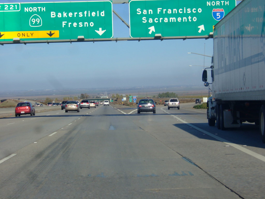
Pay attention, and you won't miss I-5... - Tuesday, December 23, 2008, 3 of 3

Pay attention, and you won't miss I-5... - Tuesday, December 23, 2008, 2 of 3

i5 views
DSC_0559.jpg
Almost in LA
Fire along I-5
DSC_0422.jpg

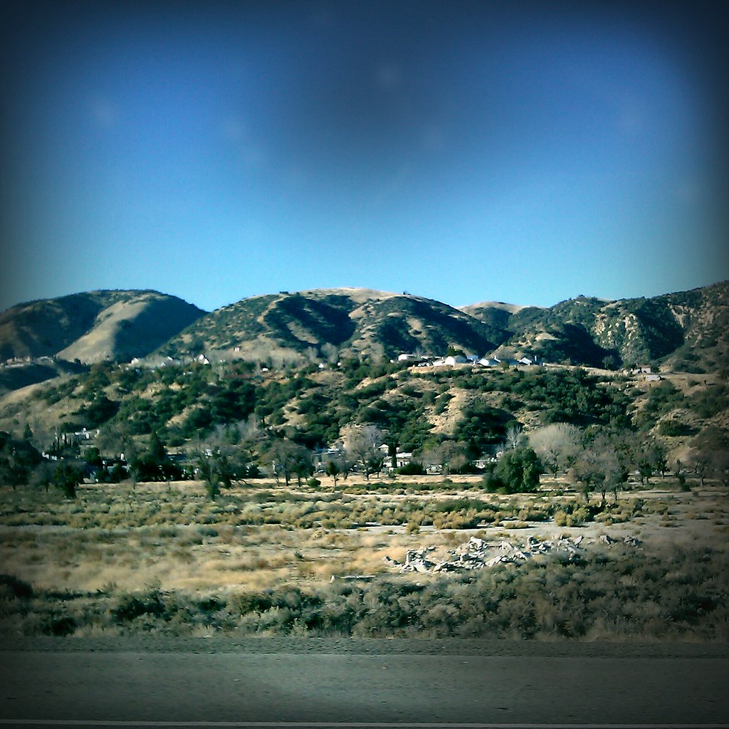
Grapevine, CA
Hazy day to go up the Grapevine. #california #landscape #mountains
ranch the cross: church in the sunset
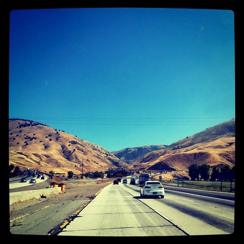
Approaching the summit
The Drive Home
ranch the cross: weeds
ranch the cross: sun
OTW to Yosemite
California gold. springtime in the mountains - gorgeous! wish I had time to run these today.. #california #spring #mountains #californiaigers #instagram #flowers #niceview #field #orange #iphoneonly #nature #grapevine #hills #springtime #gold

it's all turning brown in a month haha. #grapevine #hills #spring #niceview #flowers #sky #clouds #green #california #instagram #nature #outdoors #iphoneonly

ranch the cross: church
Before the Rains
ranch the cross
The Grapevine
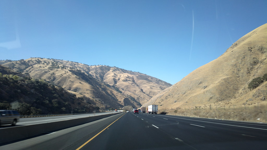
Descending the Grapevine
Yosemite weekend
Topographic Map of Grapevine, CA, USA
Find elevation by address:

Places in Grapevine, CA, USA:
Places near Grapevine, CA, USA:
Grapevine Rd E, Lebec, CA, USA
Tejon Ranch
Fort Tejon State Historic Park
800 Canyon Dr
Tecuya Mountain
West End Drive
West End Drive
Willow Trail
Frazier Park
Lebec
3341 Los Padres Dr
Encino Trail
Interstate 5
Lake Of The Woods/frazier Mountain Park Rd.
55 Fir Dr, Frazier Park, CA, USA
Lake Of The Woods
126 Pinon St
Cuddy Valley
Coldwater Dr, Frazier Park, CA, USA
11900 Frontier Rd
Recent Searches:
- Elevation of W Granada St, Tampa, FL, USA
- Elevation of Pykes Down, Ivybridge PL21 0BY, UK
- Elevation of Jalan Senandin, Lutong, Miri, Sarawak, Malaysia
- Elevation of Bilohirs'k
- Elevation of 30 Oak Lawn Dr, Barkhamsted, CT, USA
- Elevation of Luther Road, Luther Rd, Auburn, CA, USA
- Elevation of Unnamed Road, Respublika Severnaya Osetiya — Alaniya, Russia
- Elevation of Verkhny Fiagdon, North Ossetia–Alania Republic, Russia
- Elevation of F. Viola Hiway, San Rafael, Bulacan, Philippines
- Elevation of Herbage Dr, Gulfport, MS, USA