Elevation of Copper Hill, VA, USA
Location: United States > Virginia > Floyd County > Locust Grove >
Longitude: -80.134206
Latitude: 37.0818022
Elevation: 875m / 2871feet
Barometric Pressure: 91KPa
Elevation Map:
Satellite Map:
Related Photos:
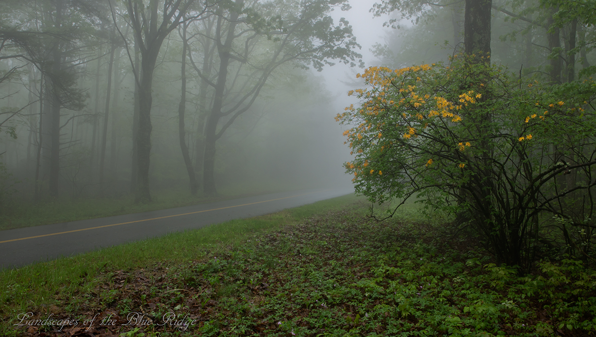
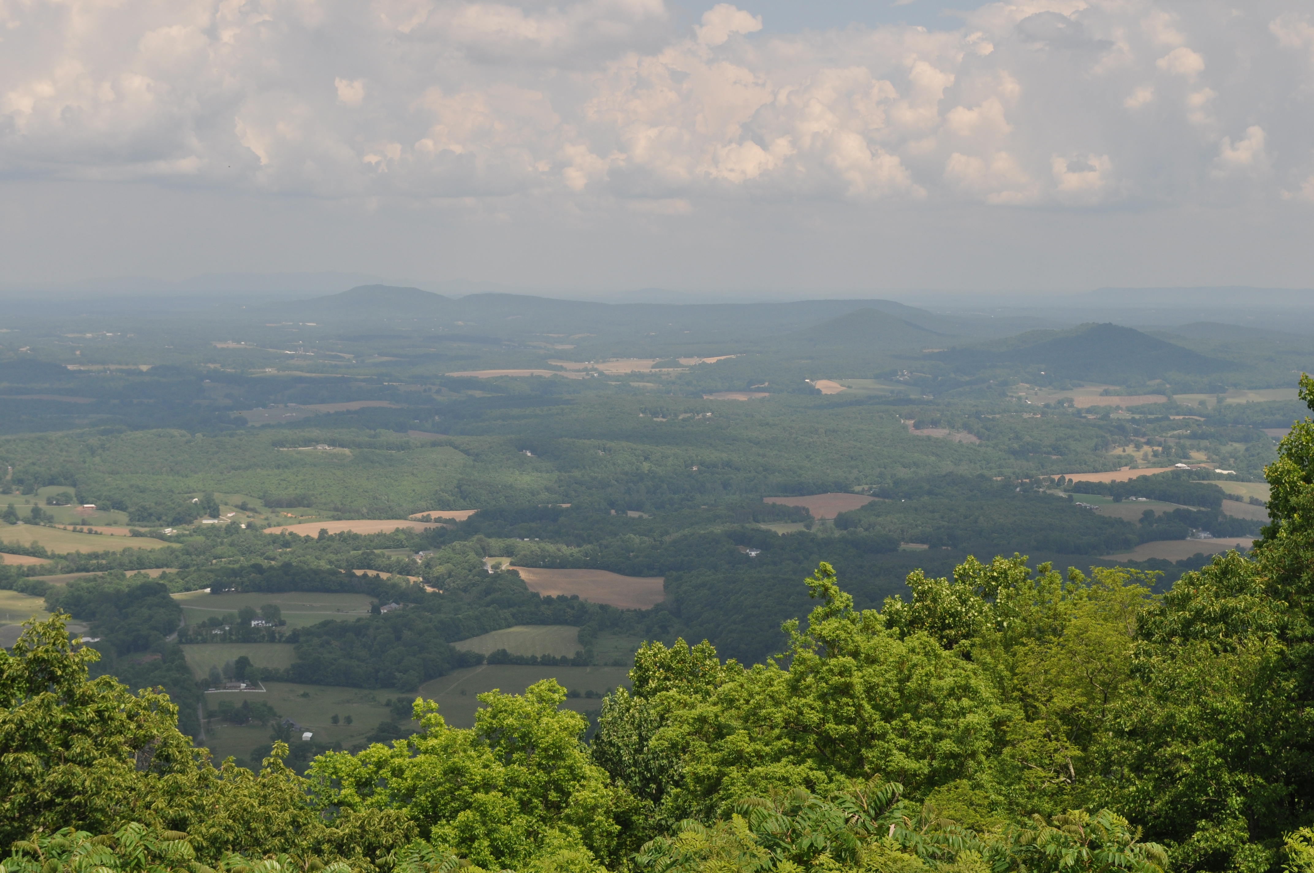
Flame in the Fog

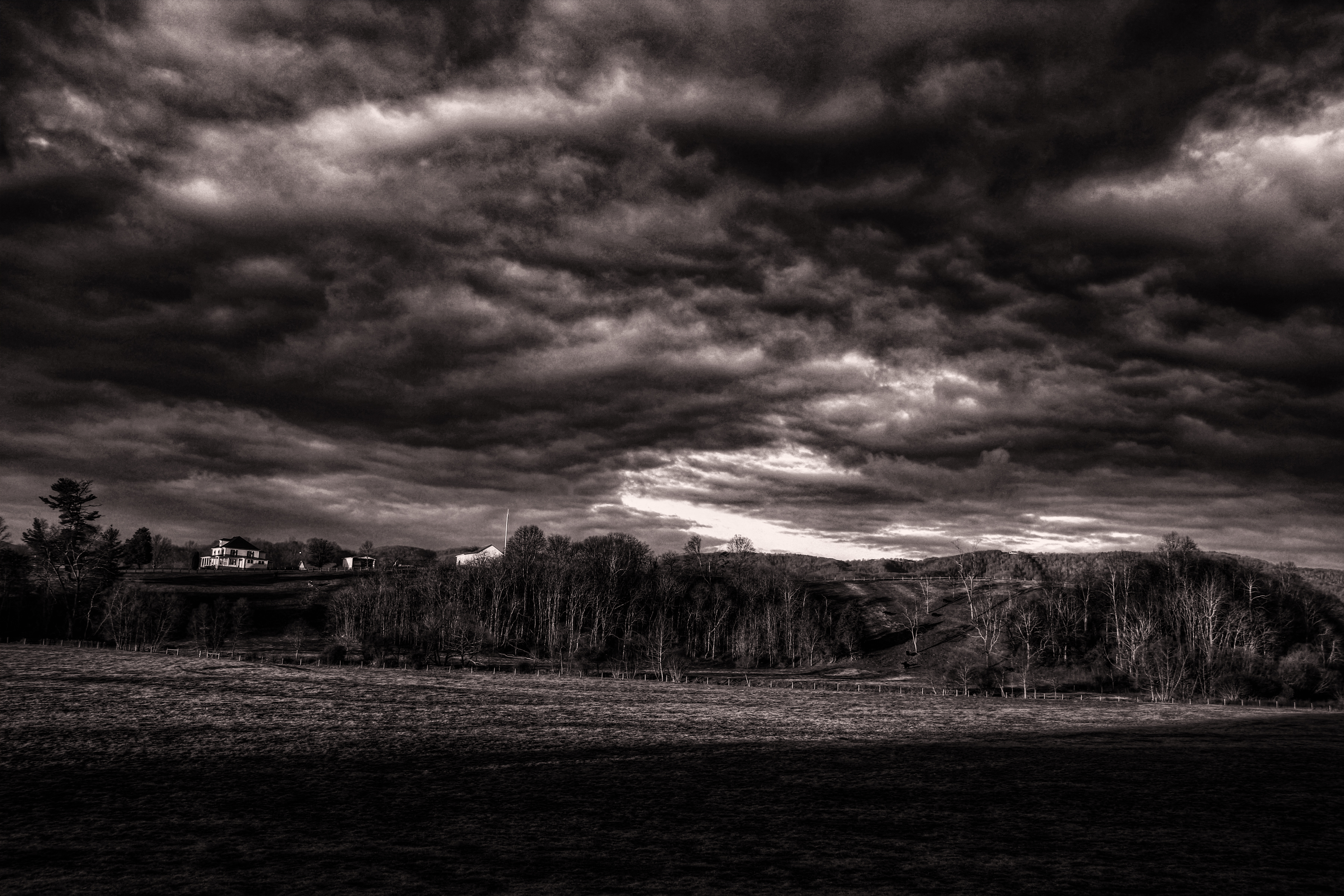
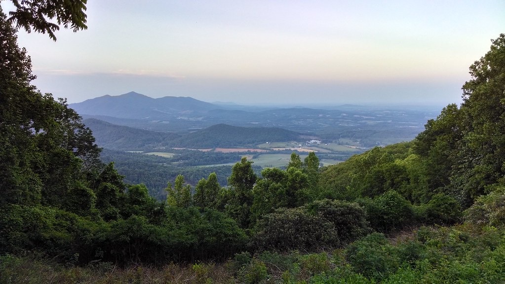
Two Roads Diverged in a Wood

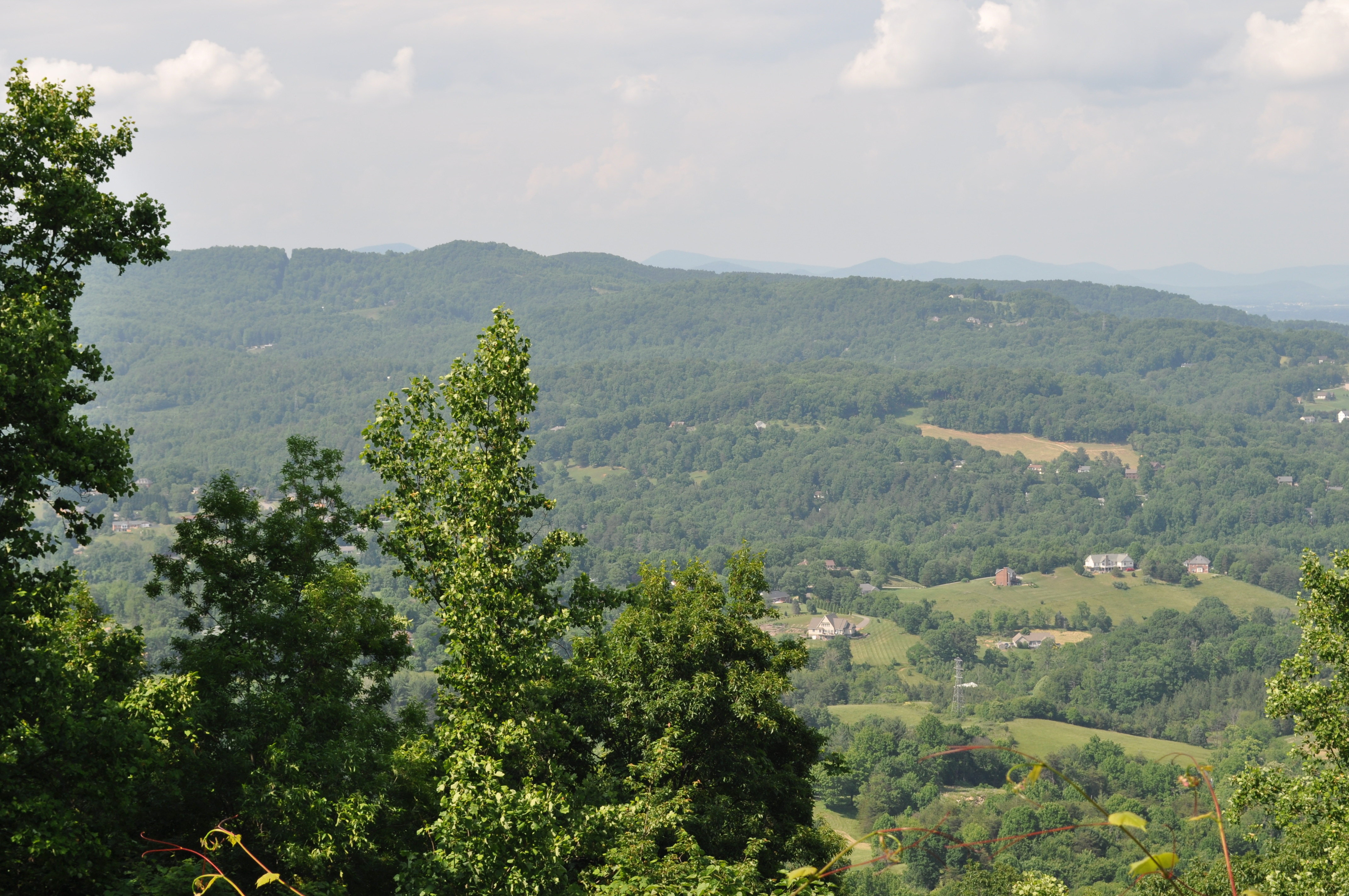
Summer Corn

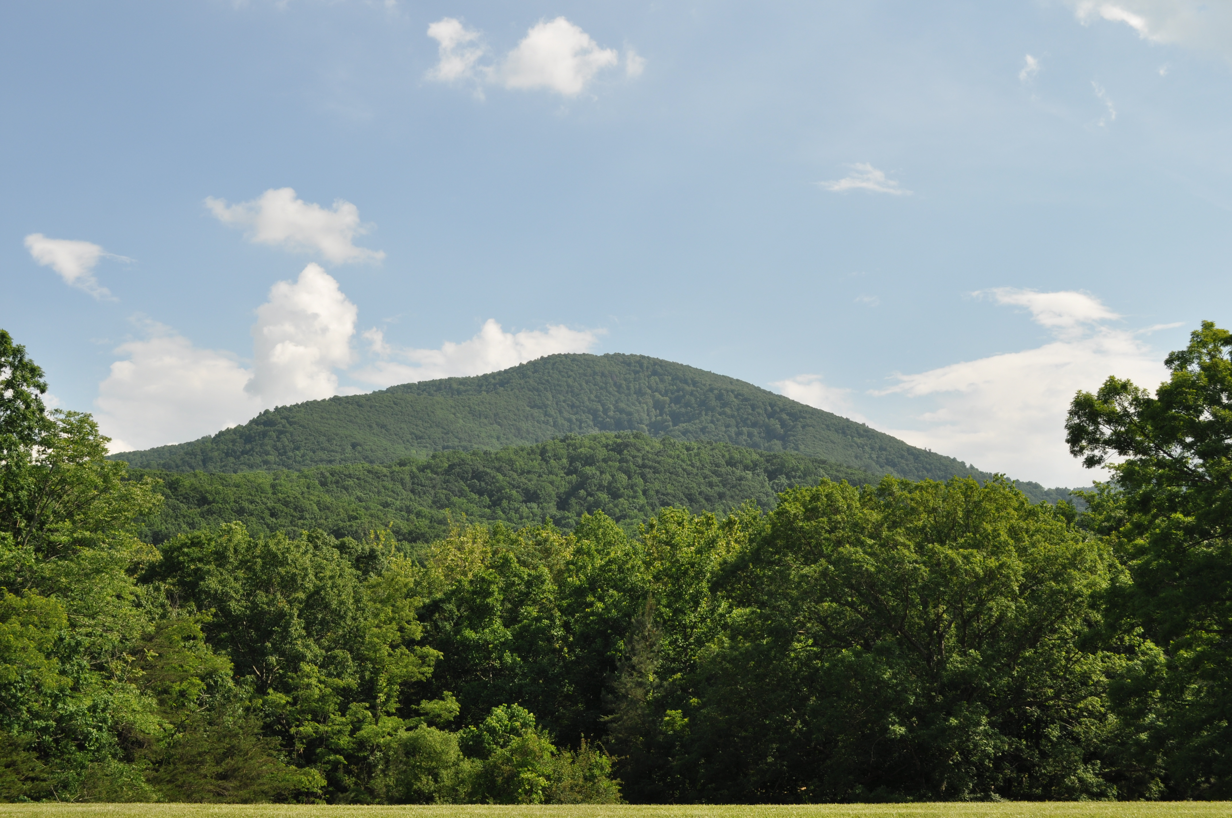
River's Edge
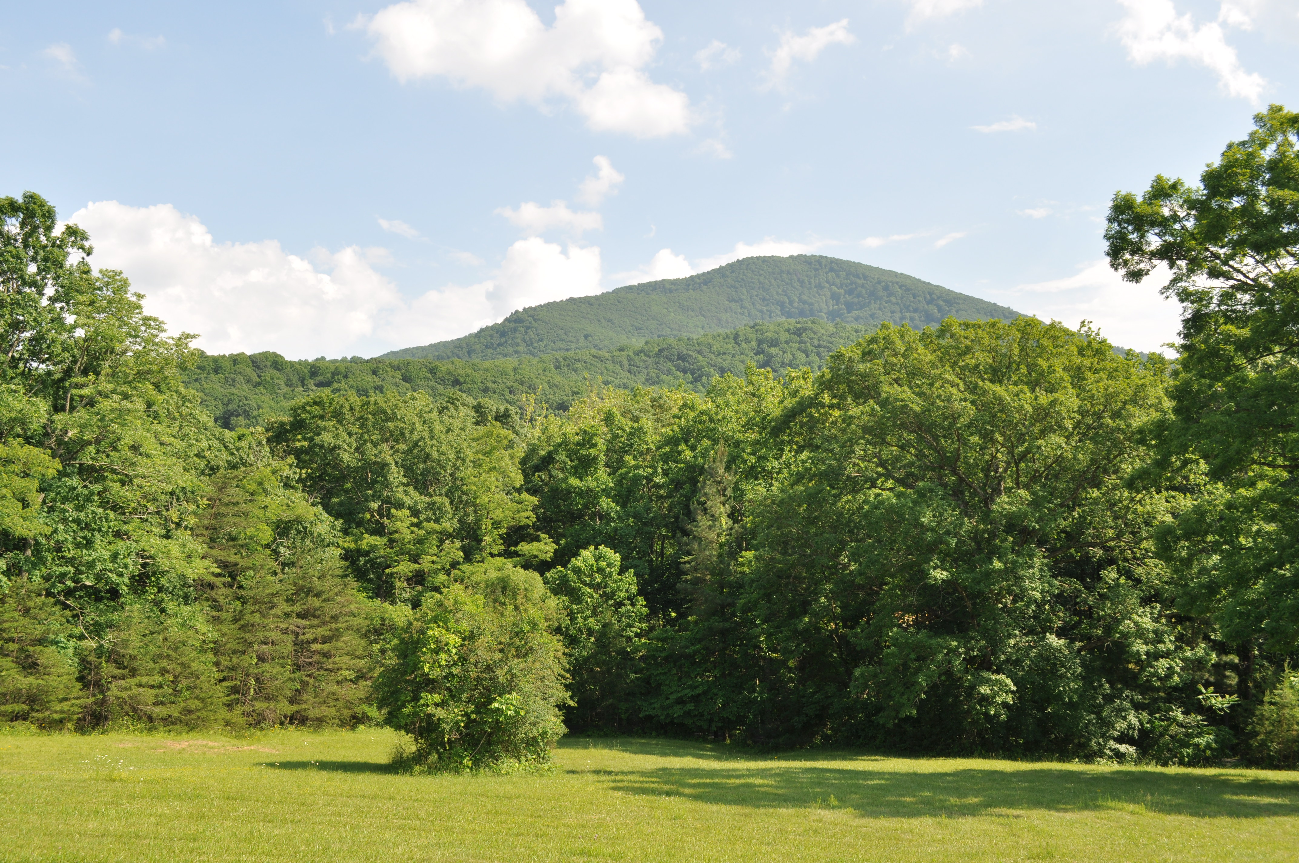
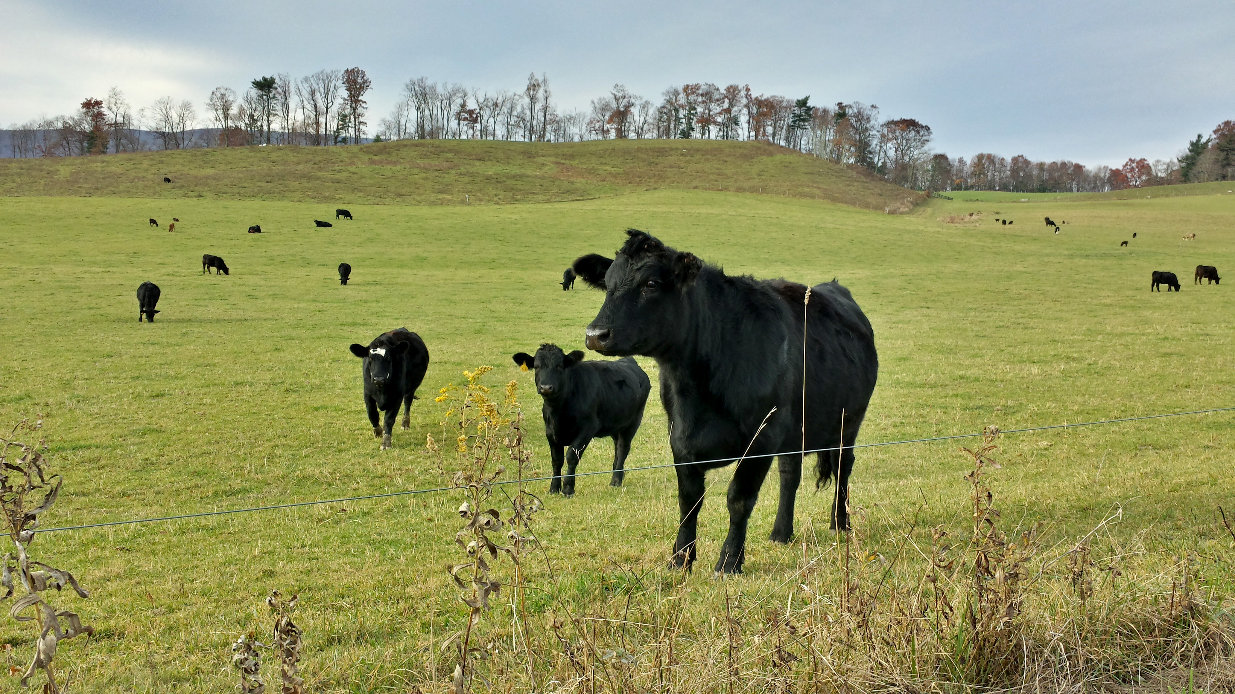
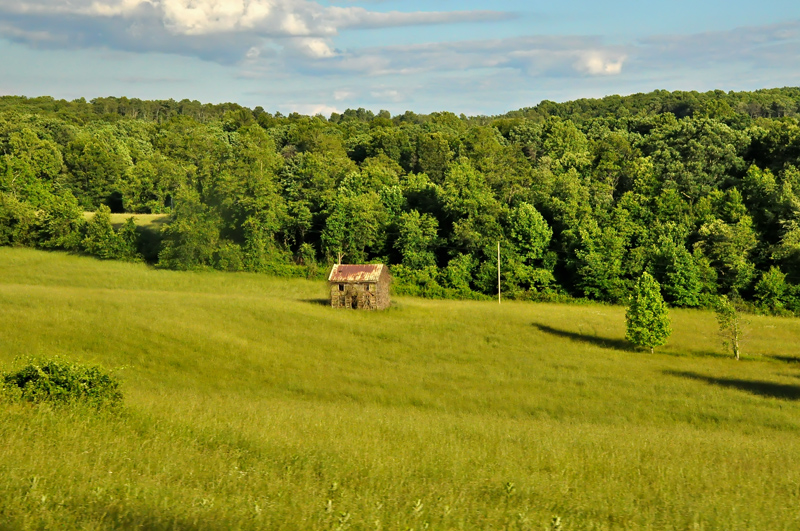
Franklin County Pasture
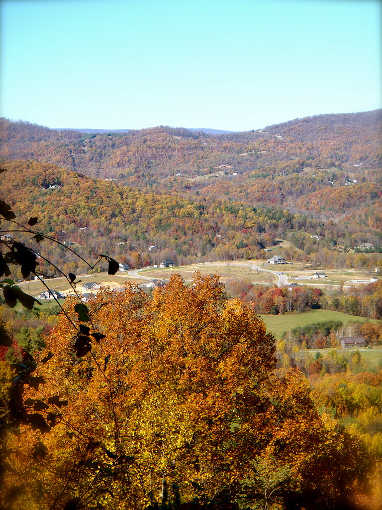
Going Home
Winter Road
3118 View Masons Knob Img_14279
Elliston Straight Stretch
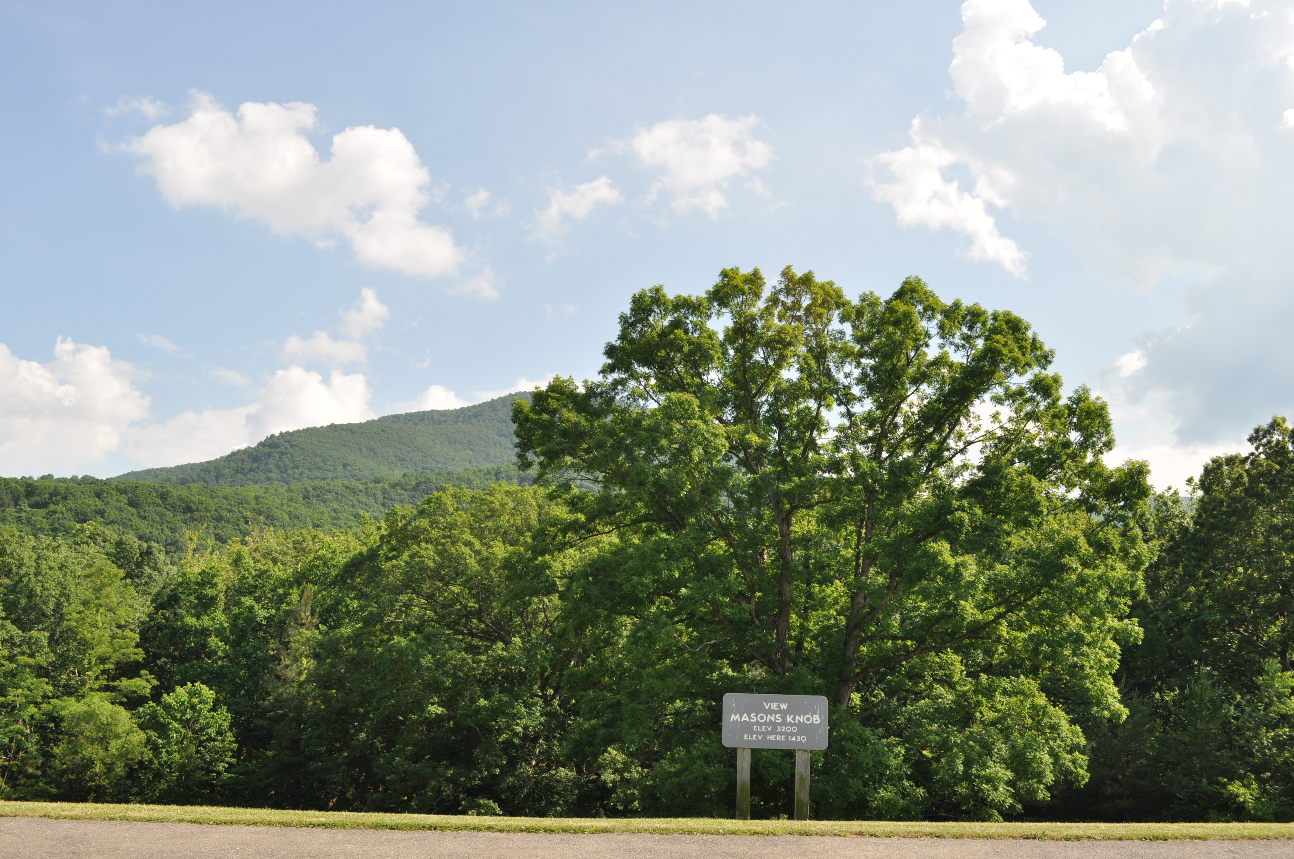
3117 View Masons Knob Img_14278
An Upward View

3100 View Roanoke Valley Img_14261
3059 View Devils Backbone Img_14220
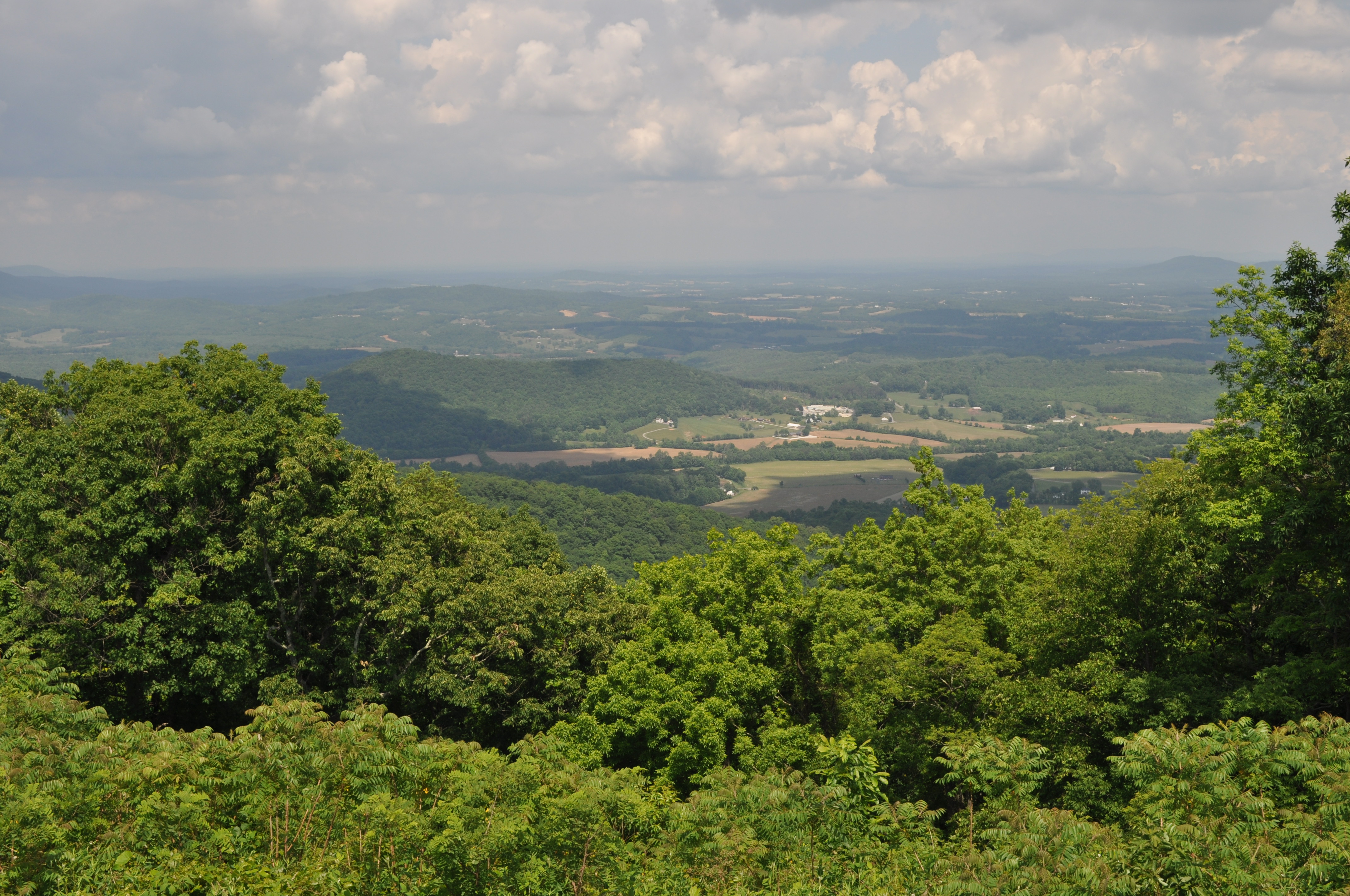
View from Pine Spur overlook

2014.03.18 155K Views
3103 View Roanoke Valley Img_14264
3121 View Masons Knob Img_14282
3058 View Devils Backbone Img_14219

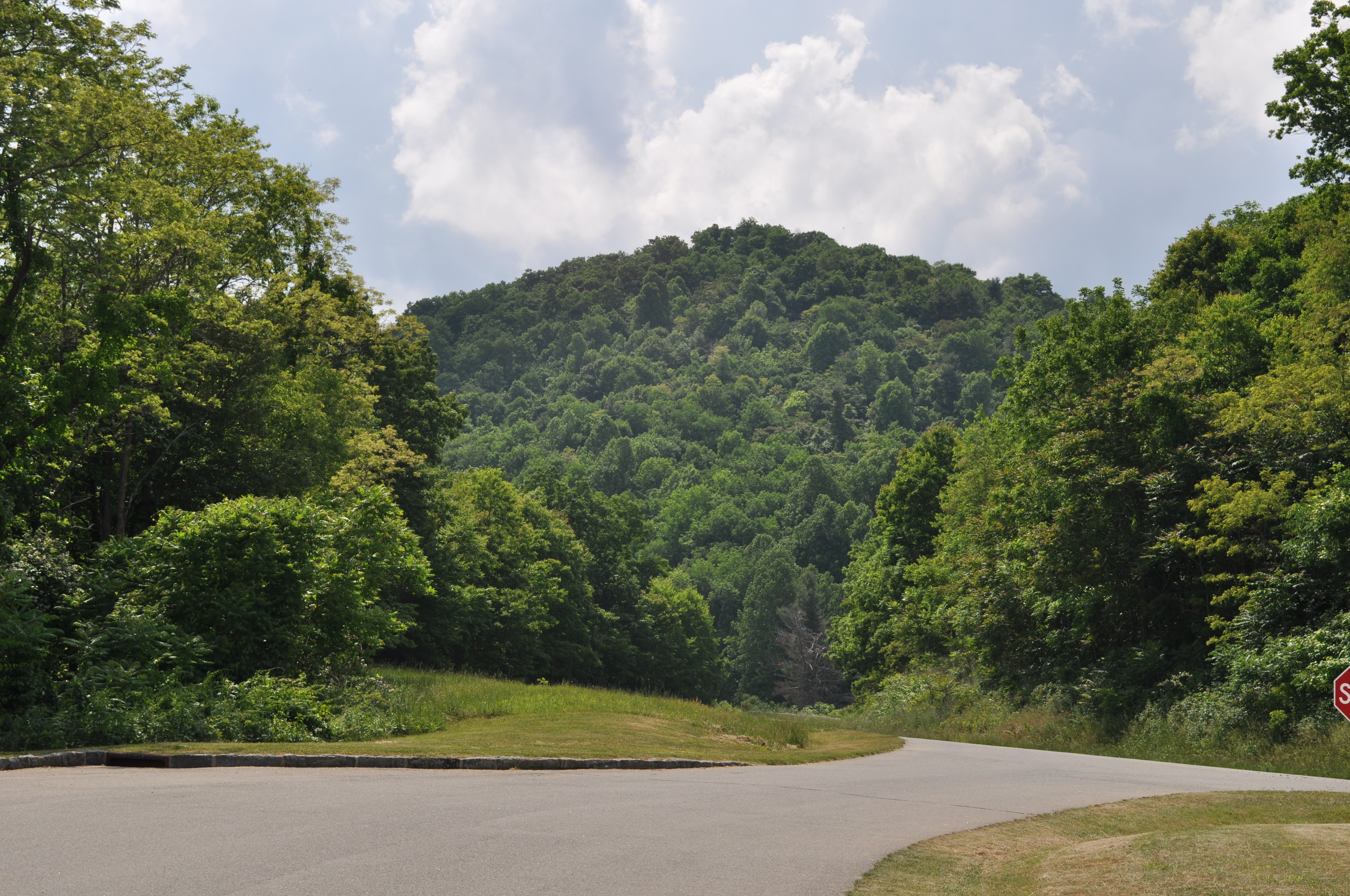
View from the Top
3077 View Bull Run Knob Img_14238
View!
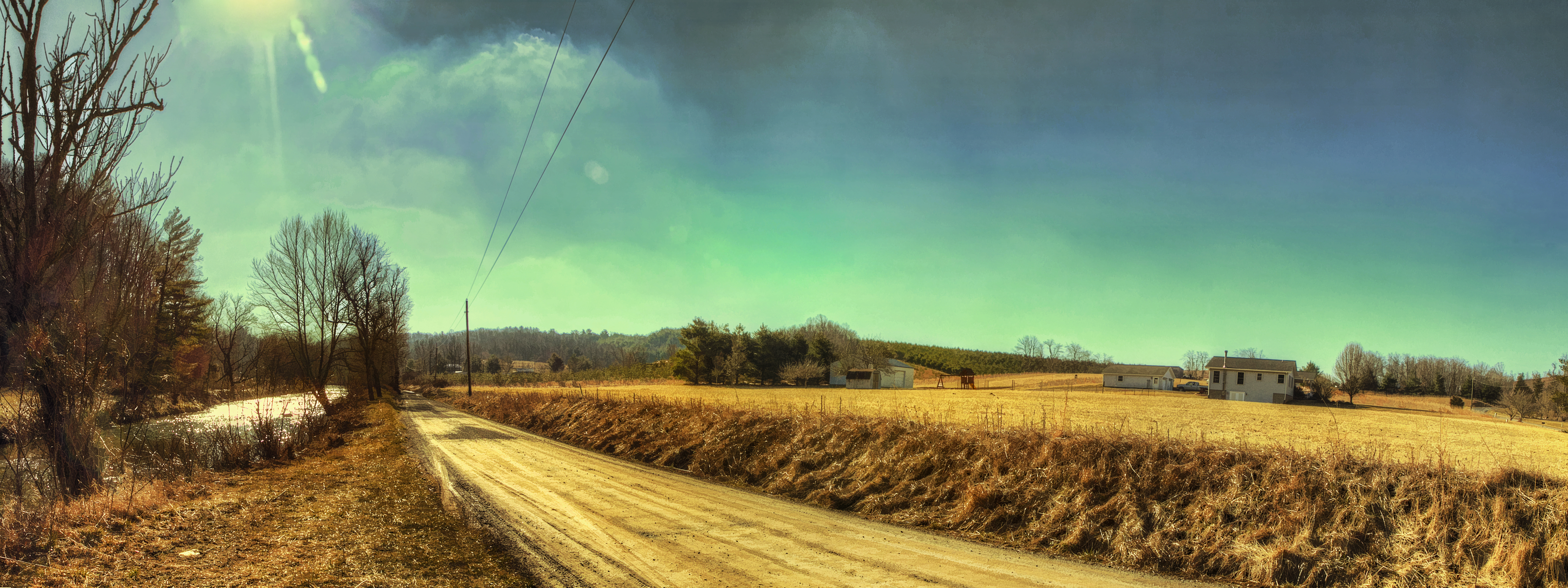
River Road
IMG_1664.jpg

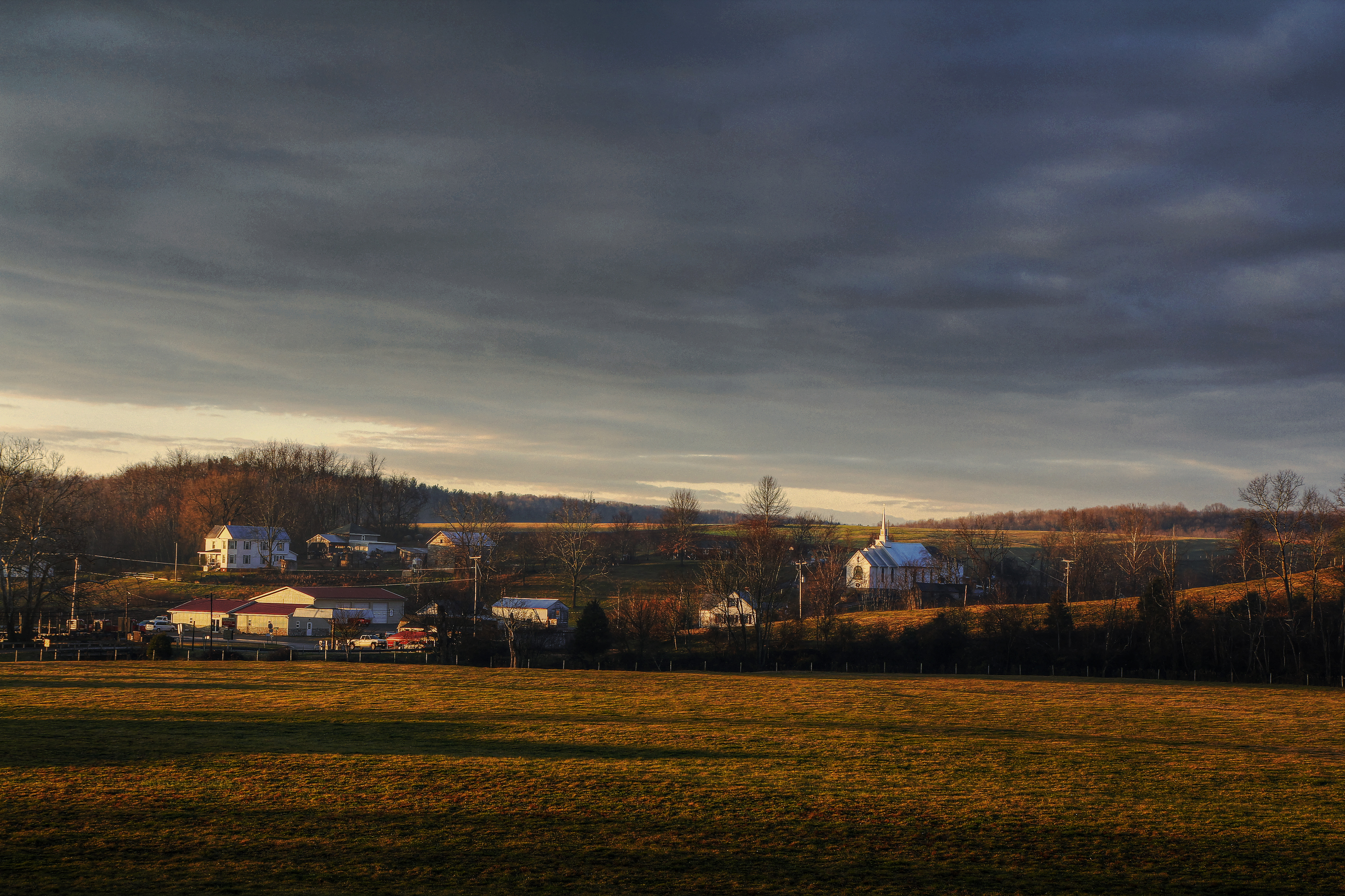
Farm House in December
Callaway Village
IMG_1660.jpg
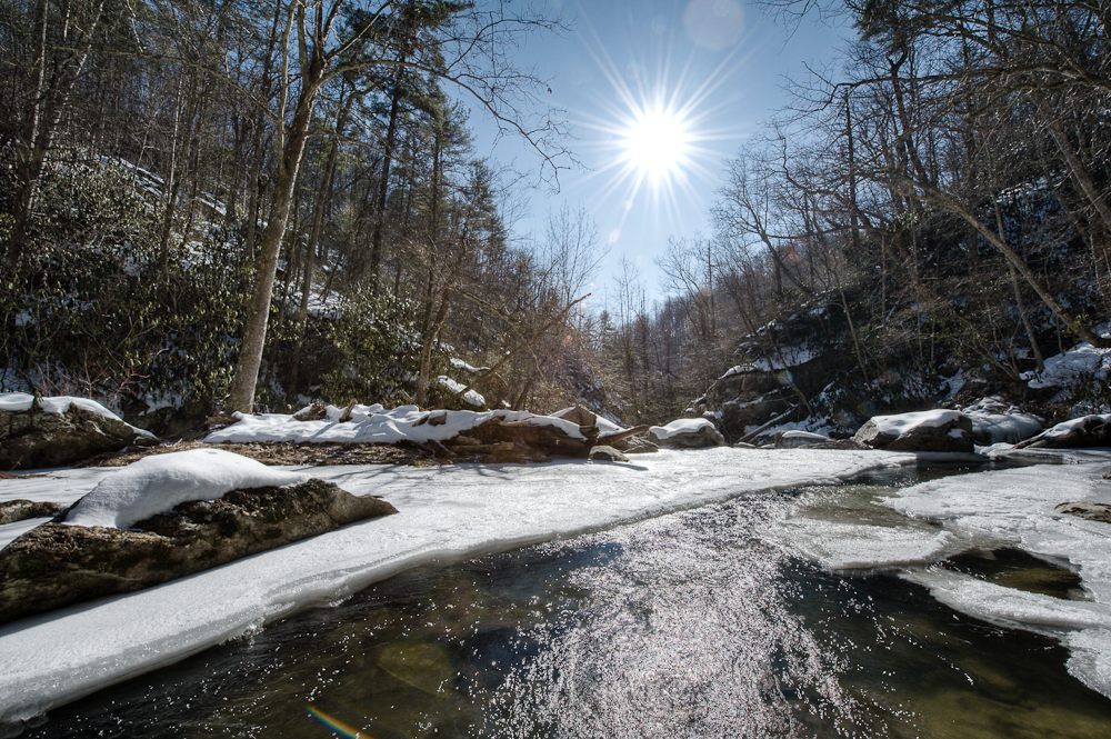
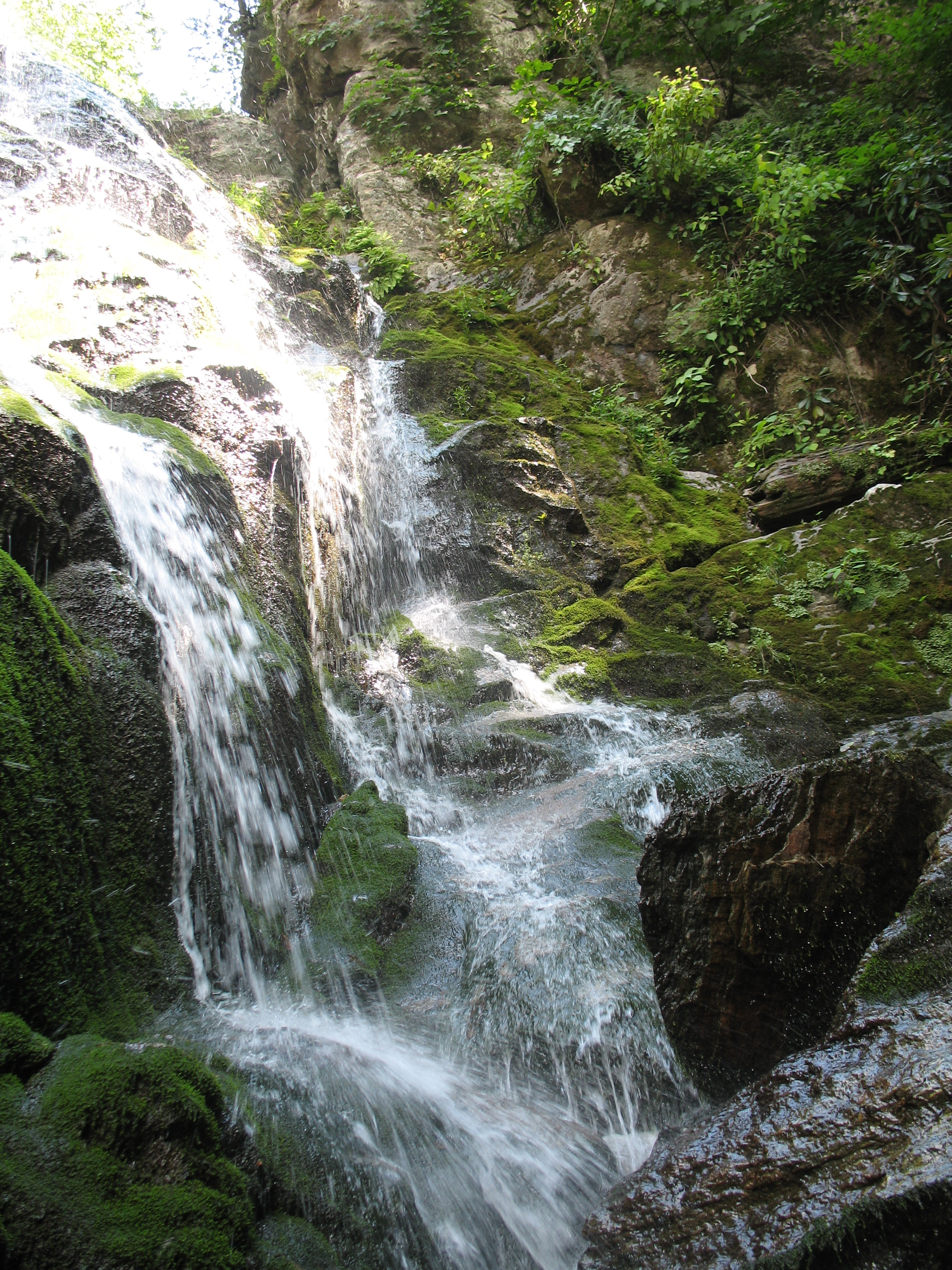
Bottom Creek Gorge

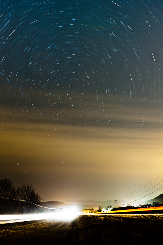
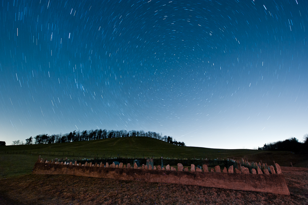
Milky Way Sonic Clear
2013.11.04_ZAD09

Blue Ridge Parkway Sky
Blue Ridge Parkway (77)
IMG_1663.jpg
Time in the Dark
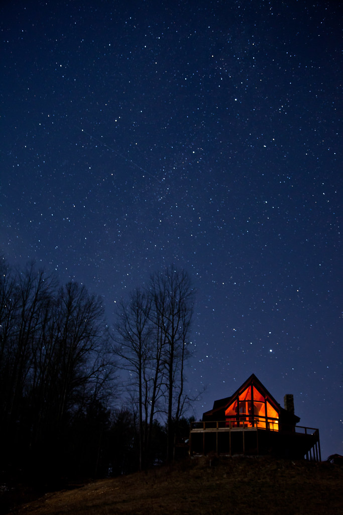
Warm Cabin in the Woods on a Cold Clear Starry Night
Blue Ridge Parkway

Blue Ridge Parkway near Roanoke

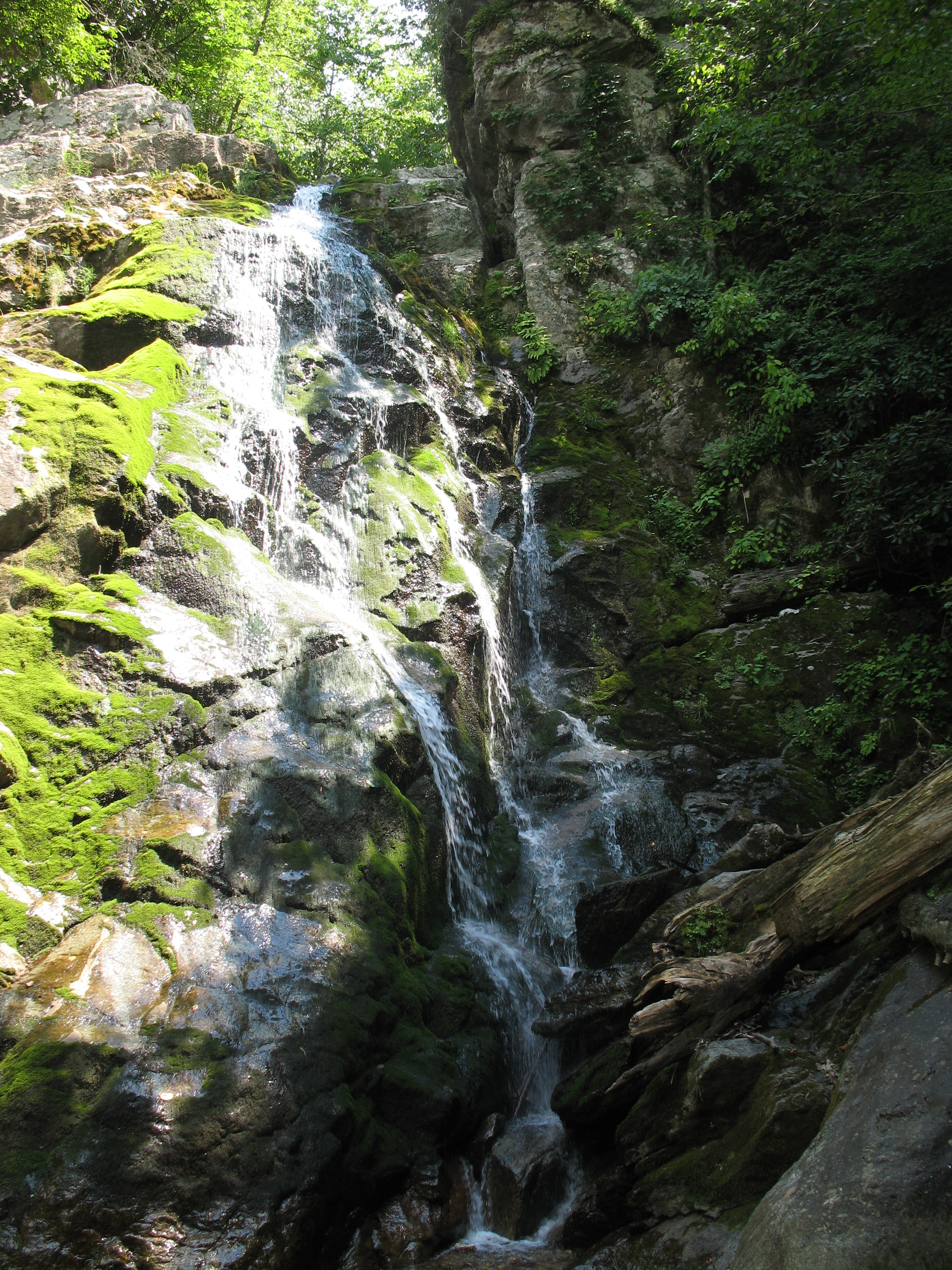
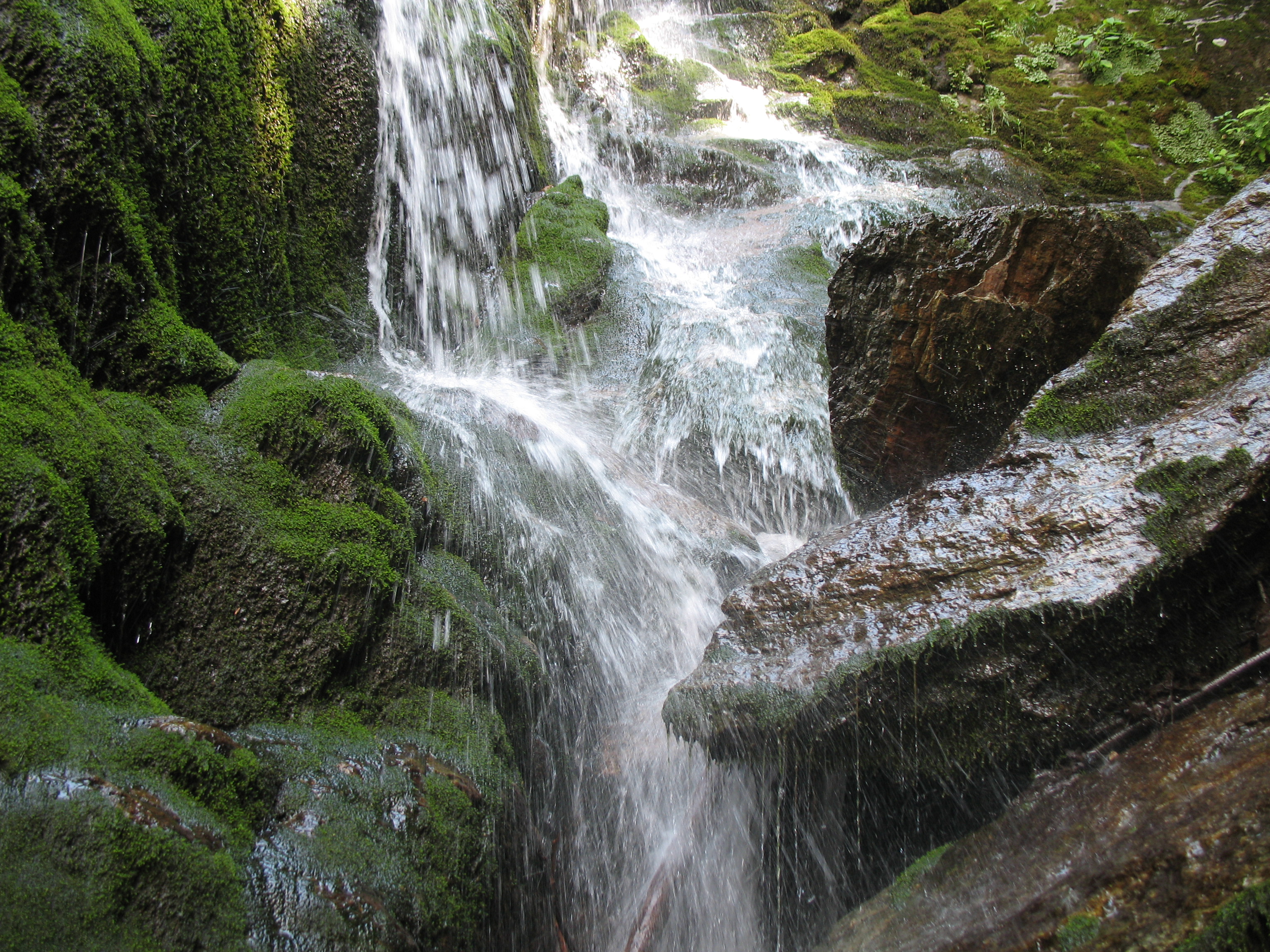
Small falls on Boners Run
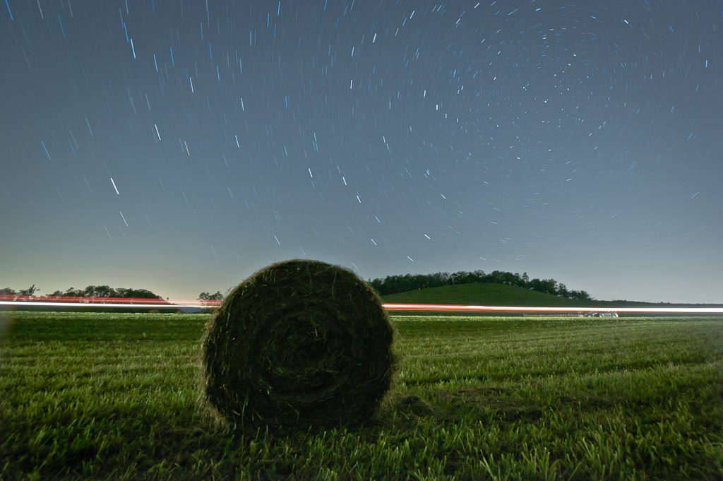
Circles all the way down.

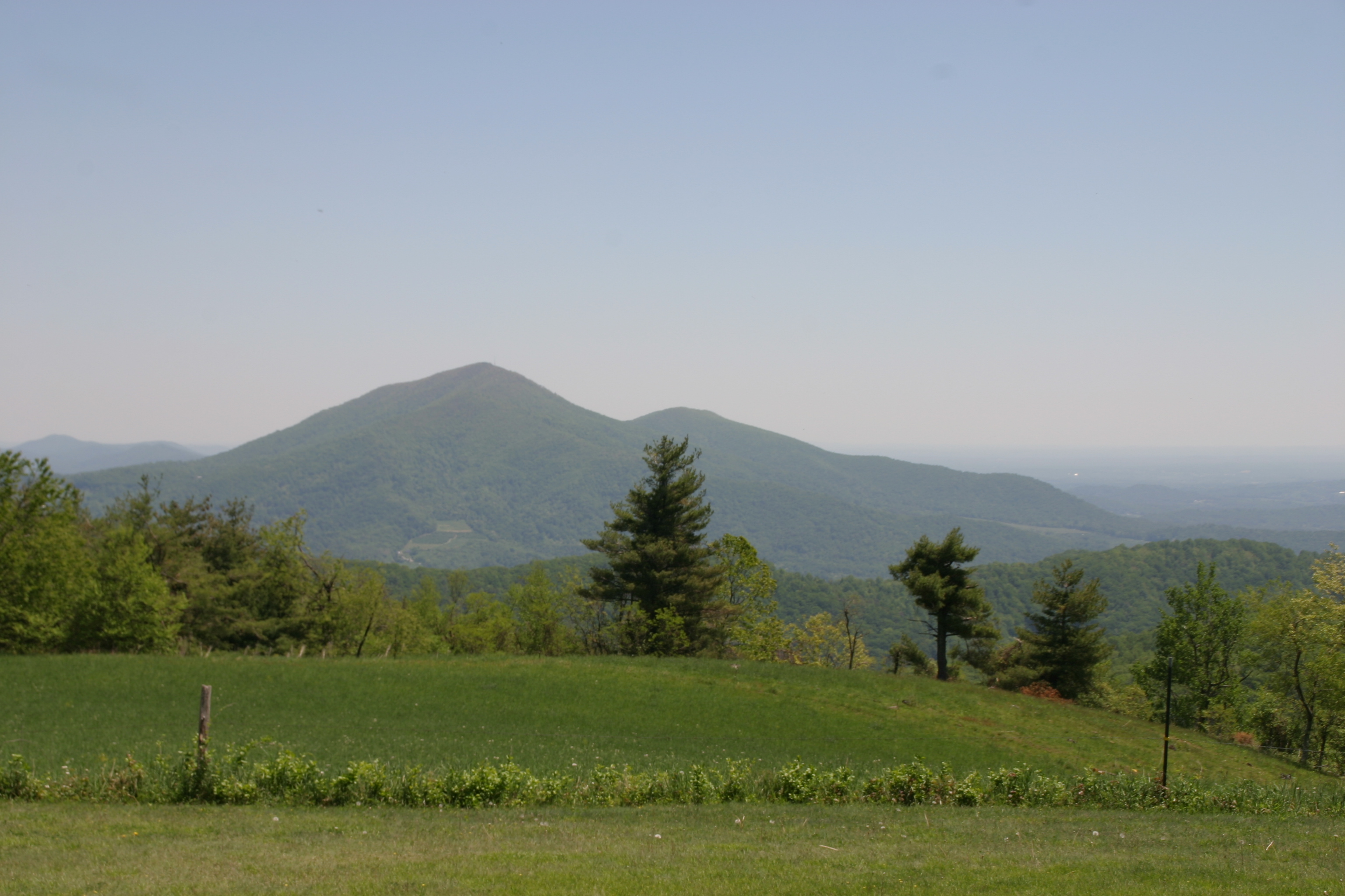
Cahas Mountain Overlook
Topographic Map of Copper Hill, VA, USA
Find elevation by address:

Places in Copper Hill, VA, USA:
Places near Copper Hill, VA, USA:
Hemlock Ridge Road Southeast
384 Hemlock Ridge Rd Se
13357 Callaway Rd
161 Greenwood Ln Se
161 Greenwood Ln Se
161 Greenwood Ln Se
164 White Pine Dr Se
Park Ridge Lane Southeast
297 Woodvale Drive Southeast
3457 5 Mile Mountain Rd
Callaway
778 Holland Rd
Blackwater
1764 Buffalo Ridge Rd
900 Bridgewater Ln
Hickman Rd, Rocky Mt, VA, USA
225 Ferrum Mountain Rd
2326 Callaway Rd
Blue Ridge
Callaway Rd, Rocky Mt, VA, USA
Recent Searches:
- Elevation of Corso Fratelli Cairoli, 35, Macerata MC, Italy
- Elevation of Tallevast Rd, Sarasota, FL, USA
- Elevation of 4th St E, Sonoma, CA, USA
- Elevation of Black Hollow Rd, Pennsdale, PA, USA
- Elevation of Oakland Ave, Williamsport, PA, USA
- Elevation of Pedrógão Grande, Portugal
- Elevation of Klee Dr, Martinsburg, WV, USA
- Elevation of Via Roma, Pieranica CR, Italy
- Elevation of Tavkvetili Mountain, Georgia
- Elevation of Hartfords Bluff Cir, Mt Pleasant, SC, USA