Elevation of Blue Ridge Parkway, Blue Ridge Pkwy, United States
Location: United States > Virginia > Floyd County > Locust Grove > Copper Hill >
Longitude: -80.129141
Latitude: 37.1199734
Elevation: 811m / 2661feet
Barometric Pressure: 92KPa
Elevation Map:
Satellite Map:
Related Photos:

River's Edge

Early Spring on the N&W

Early Spring on the N&W

Summer Corn
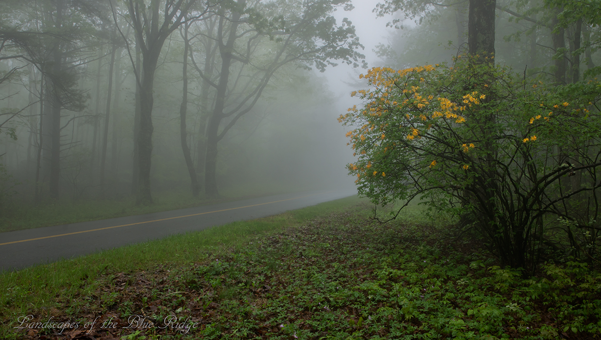
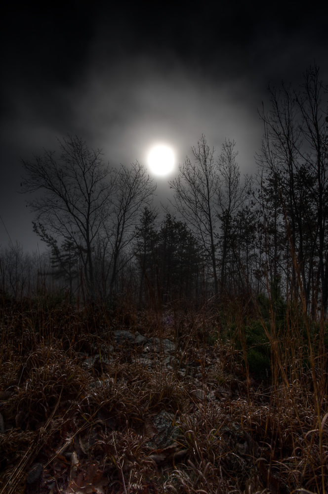
Flame in the Fog
Elliston Straight Stretch
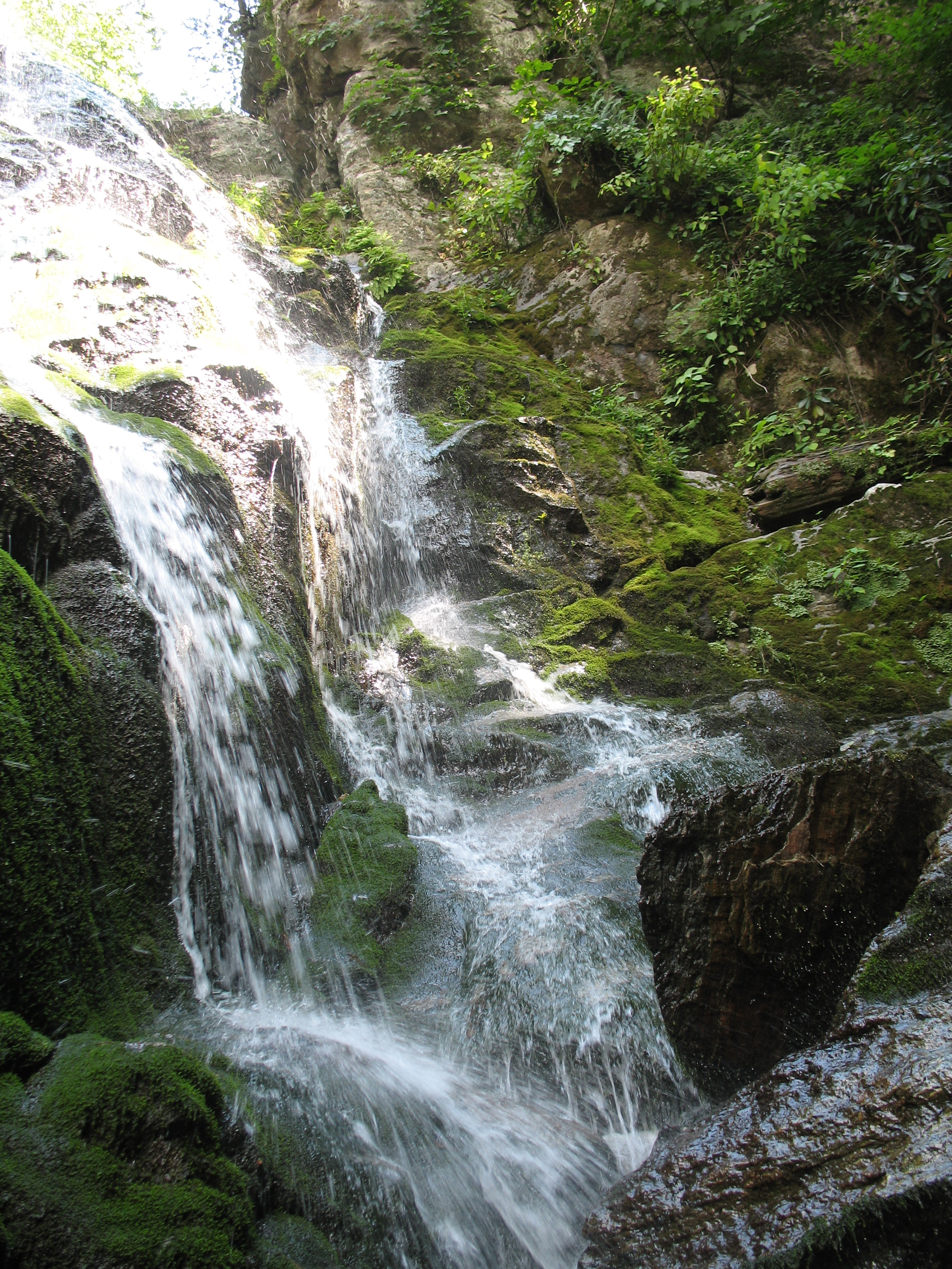
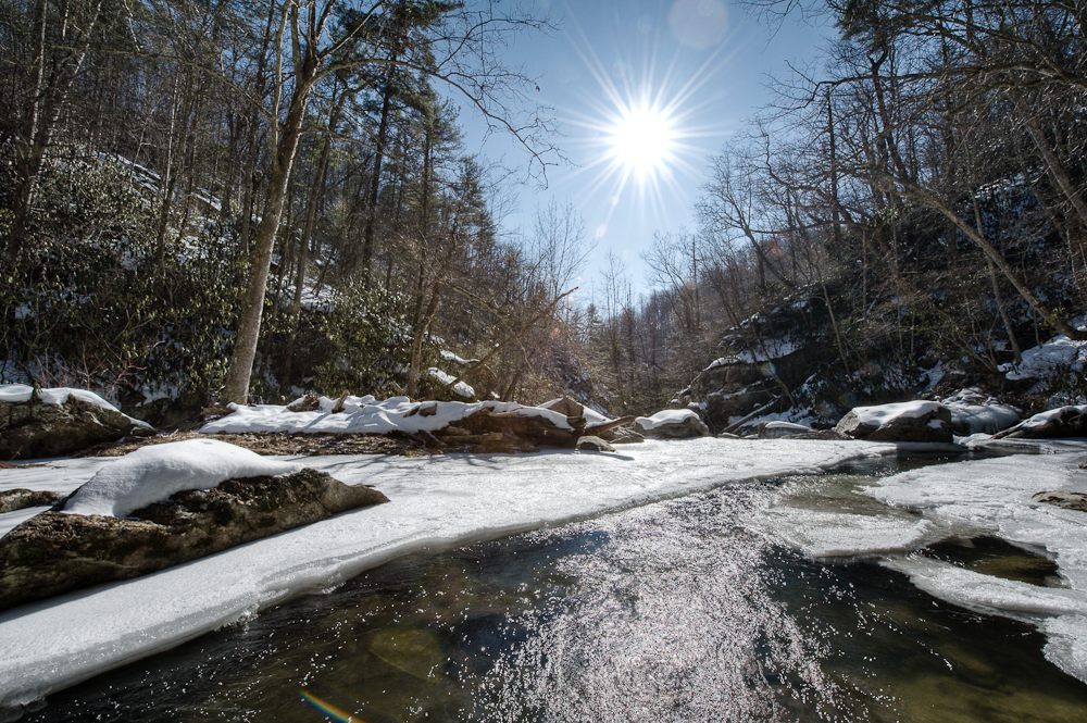
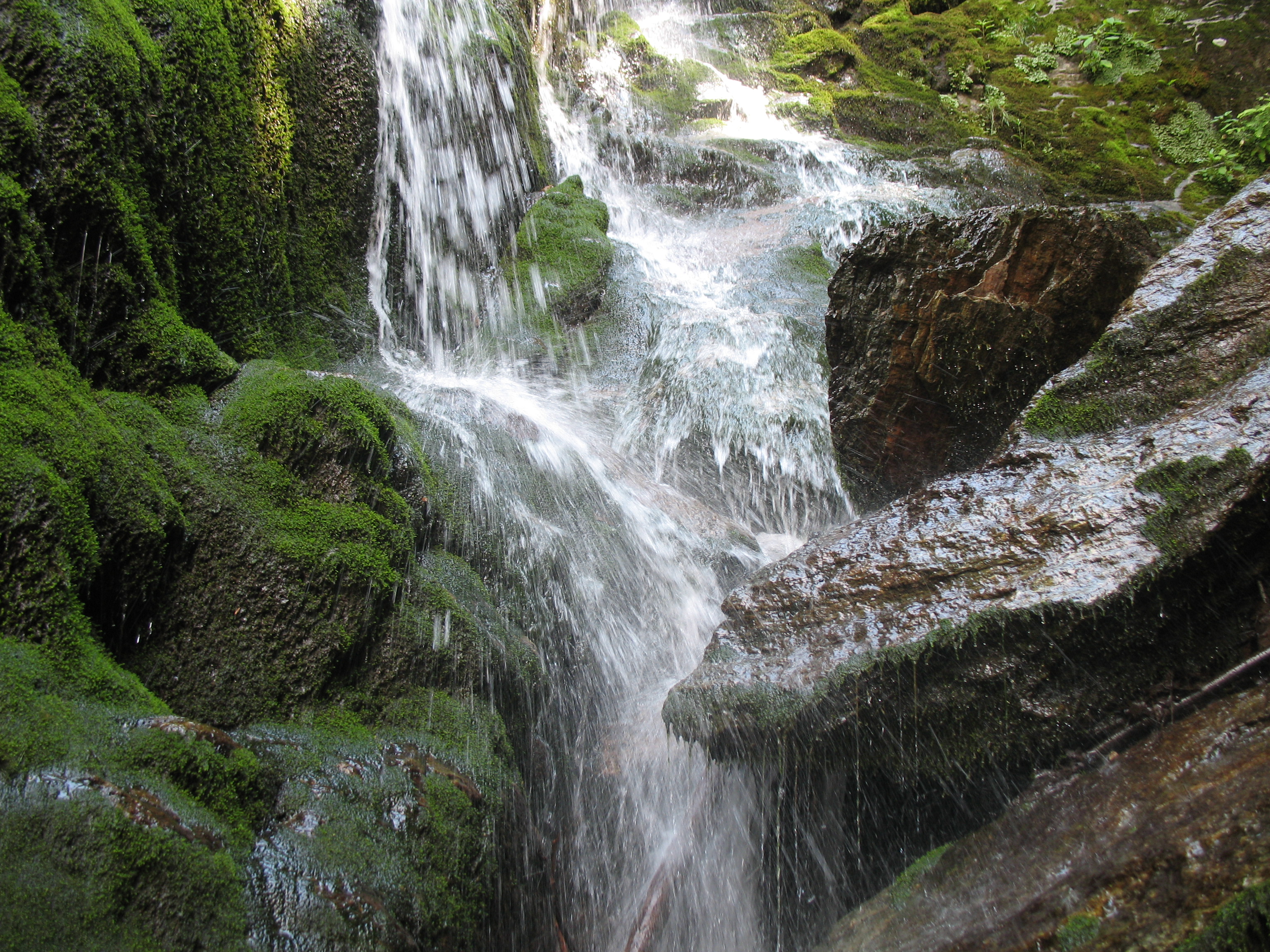
Splash Damage
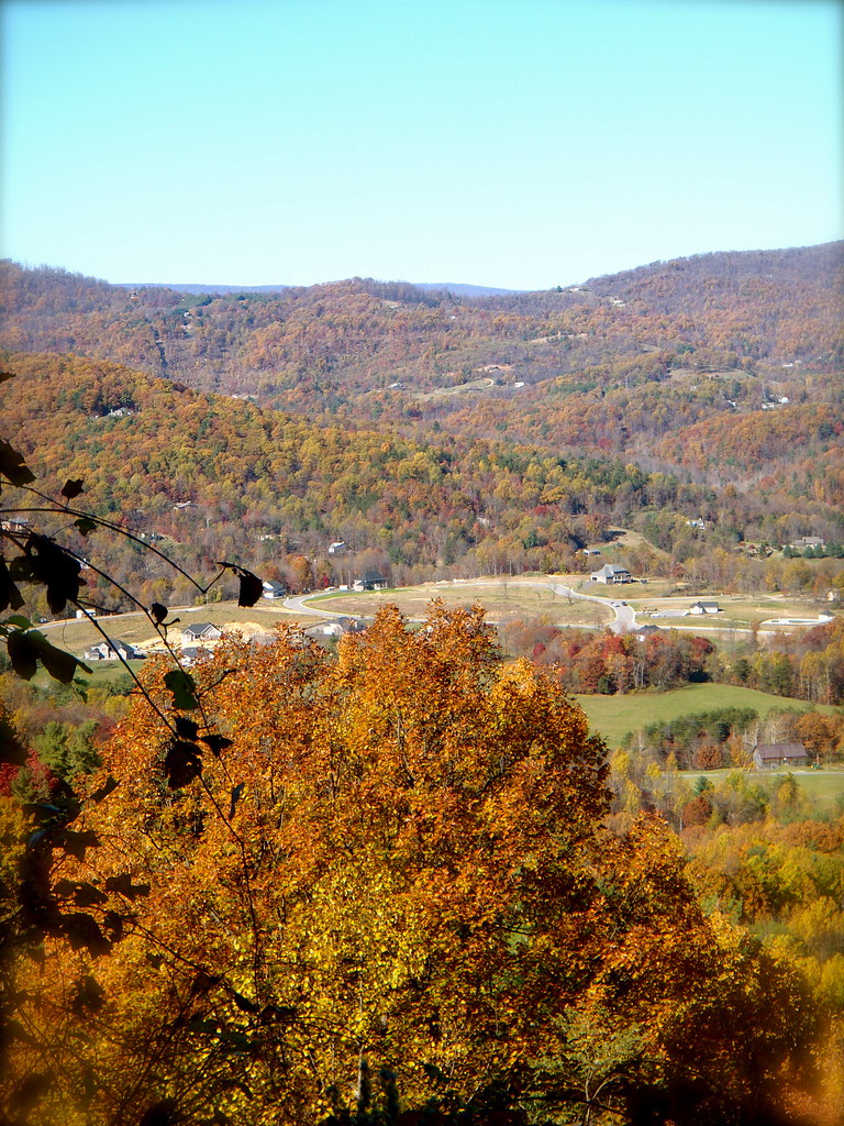
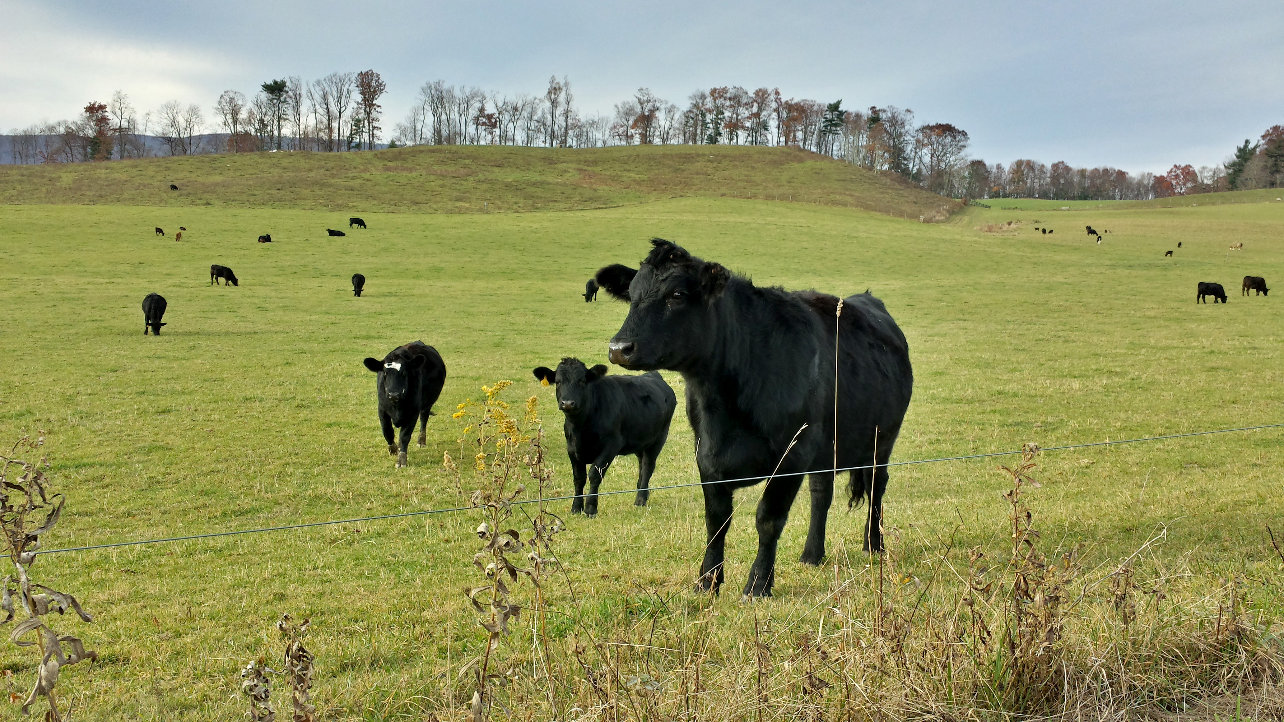
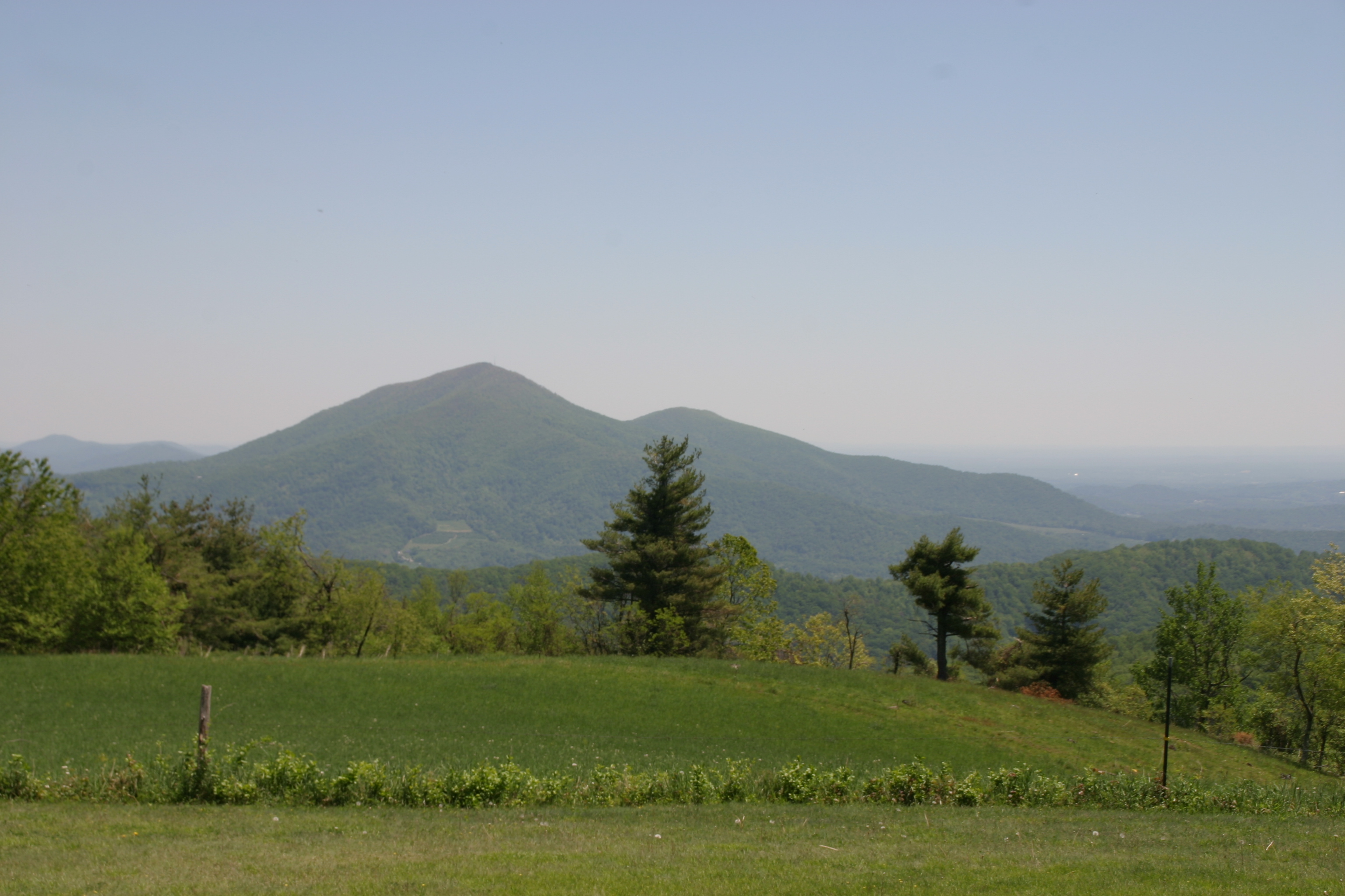
Franklin County Pasture
Long Ridge Morning
View!
An Upward View

First Light
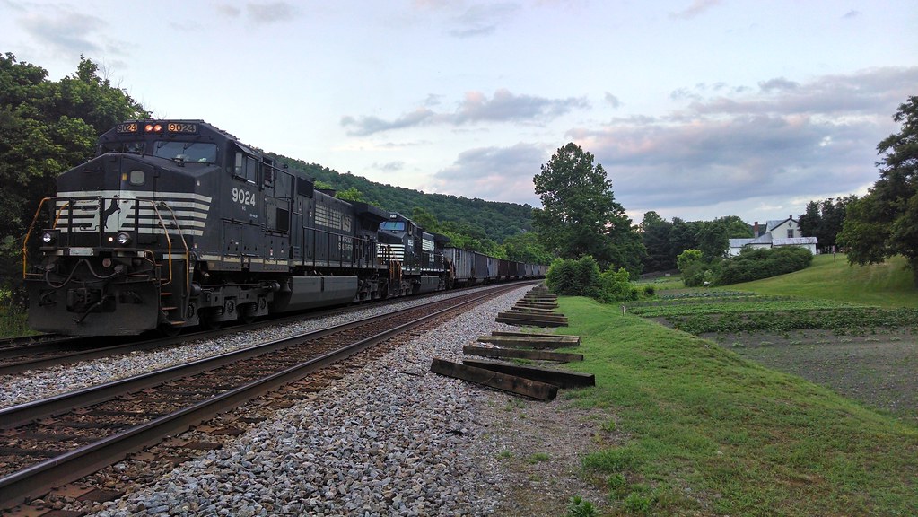
Train stopped near elliston
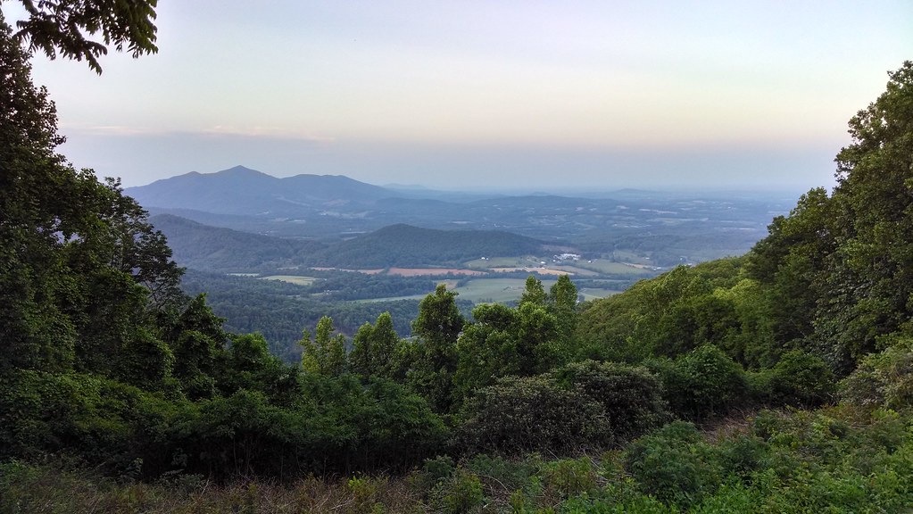
View from Pine Spur overlook

Valhalla Winery

View from the Top
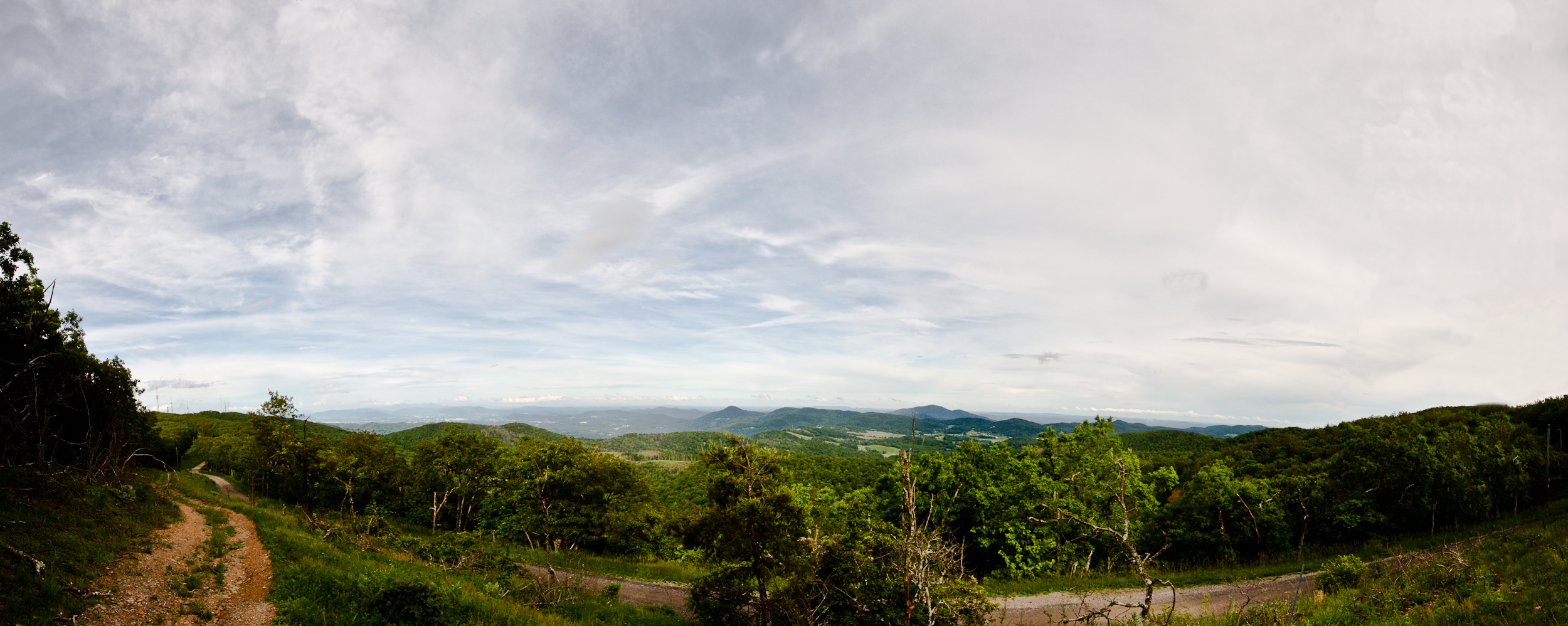
Roanoke Valley from SE side of Poor Mountain (poles and lines removed.)
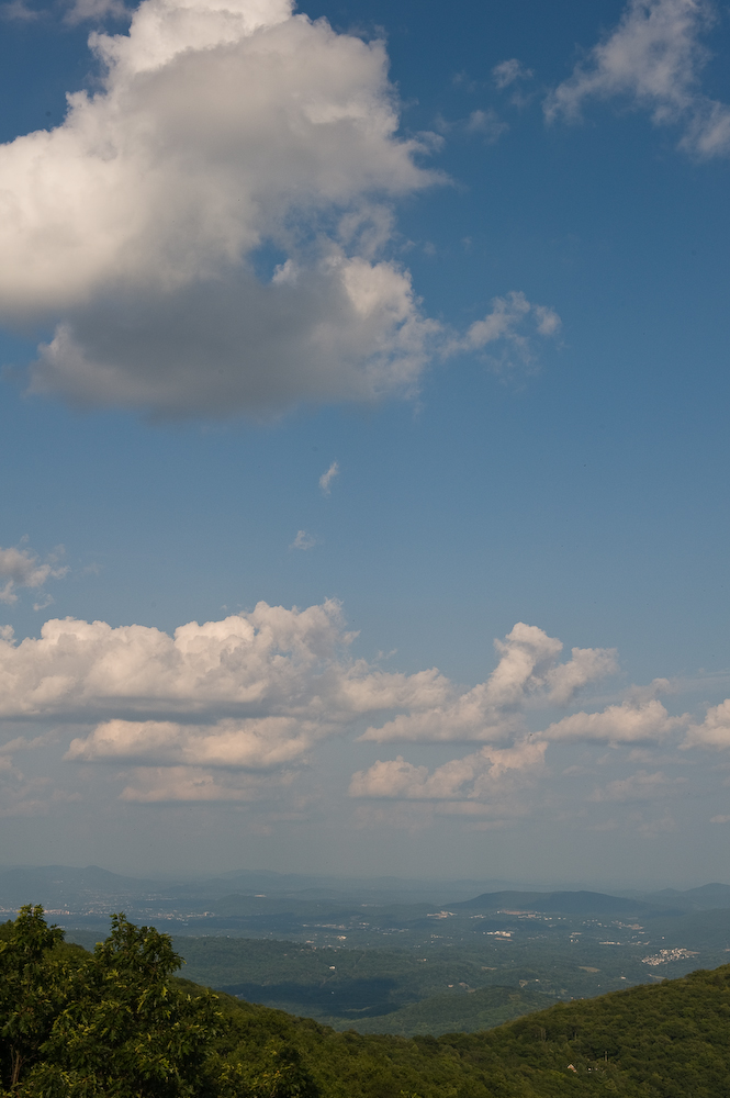
Roanoke from Blueridge Parkway
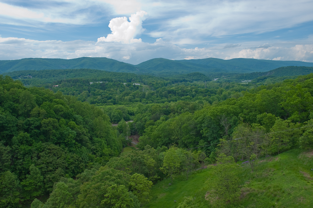
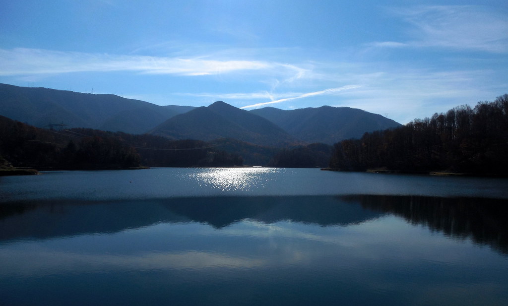
View from Spring Hollow Dam

ROCK STORE
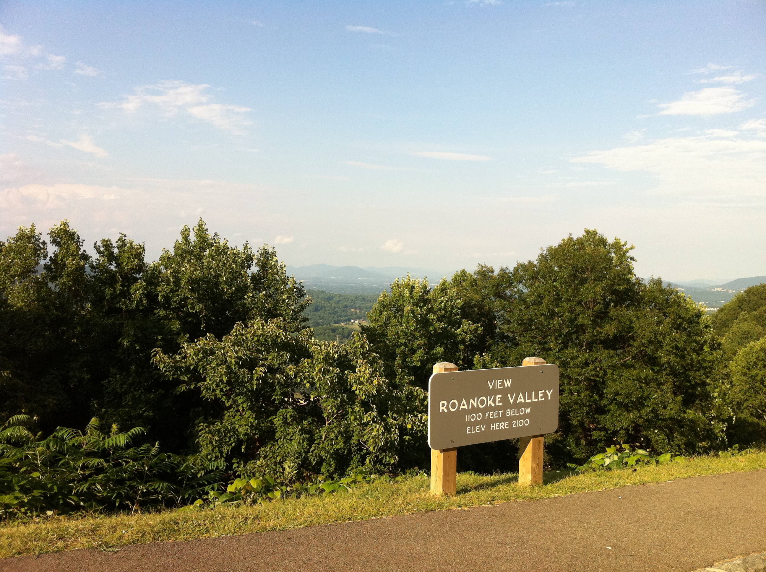
View of Roanoke from the Parkway
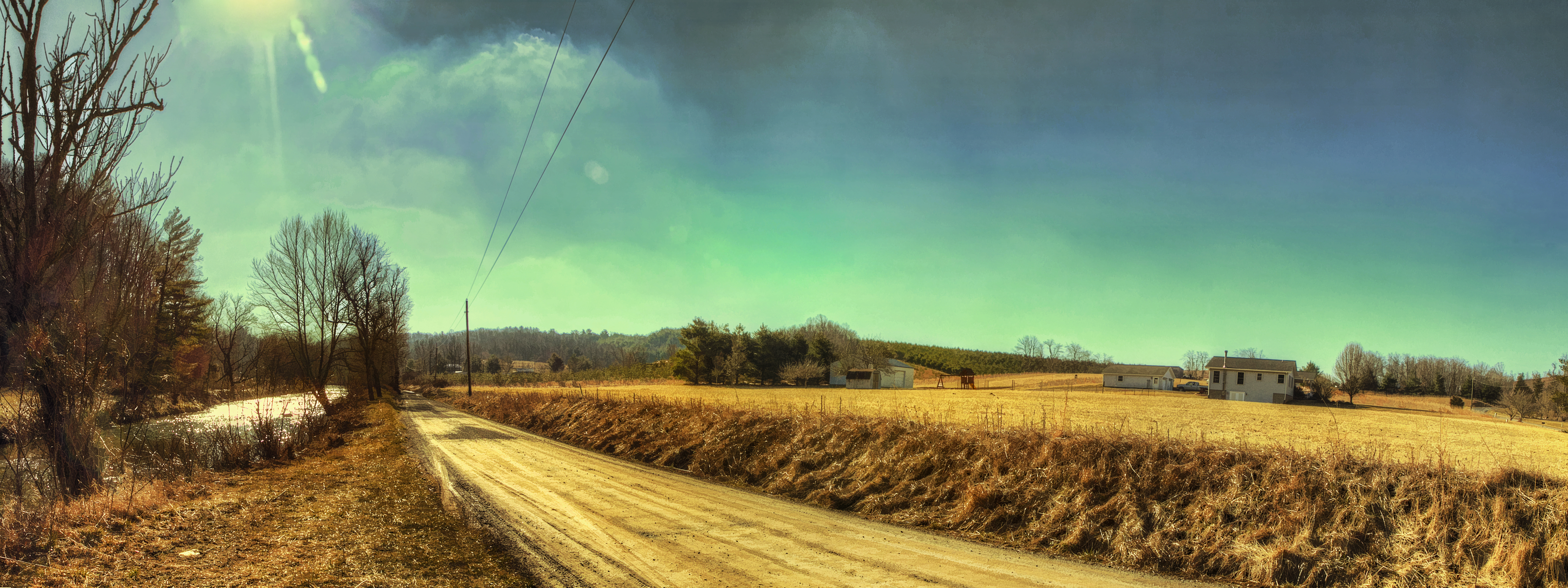
River Road

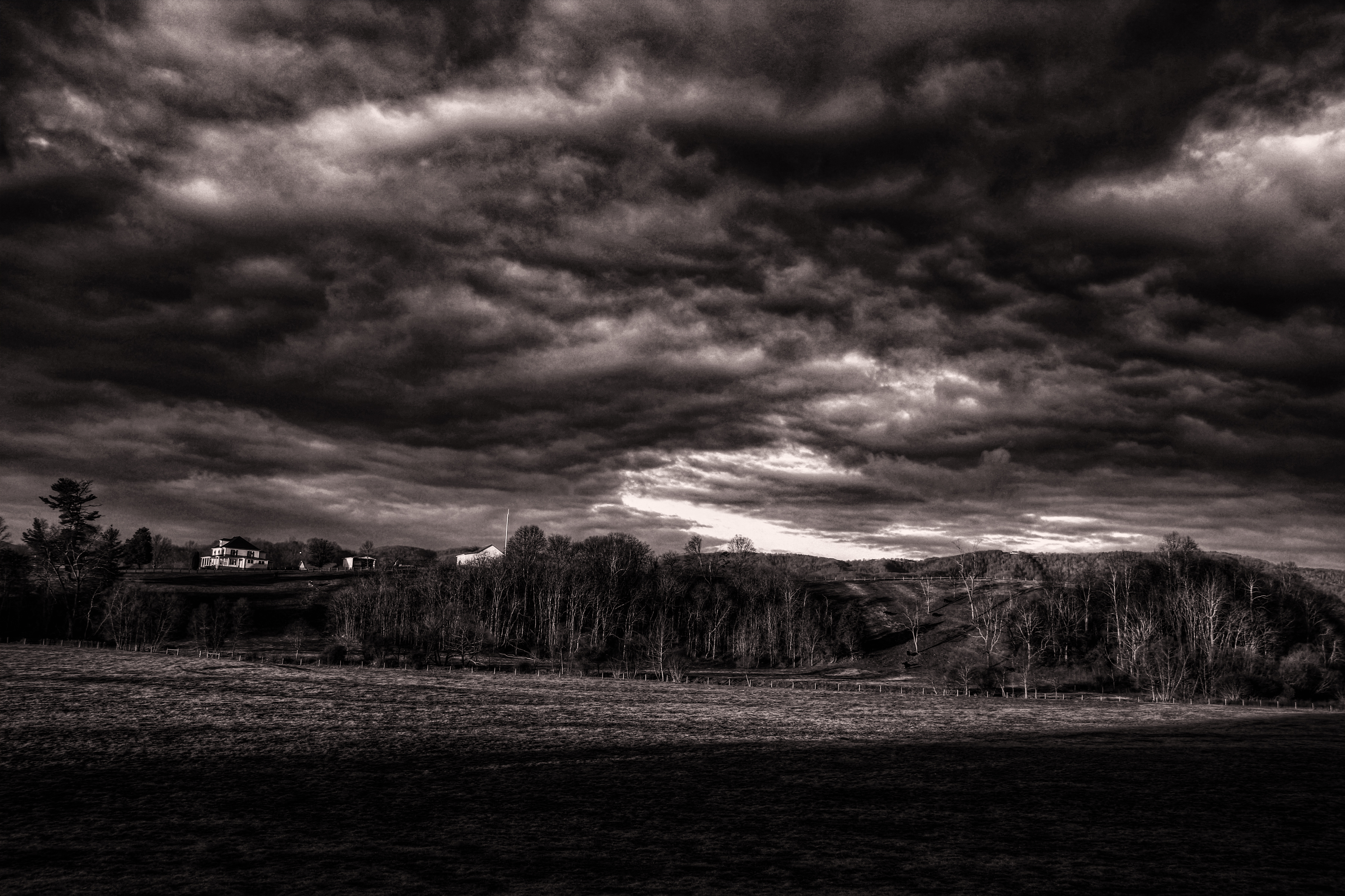
Blue Ridge Parkway Sky

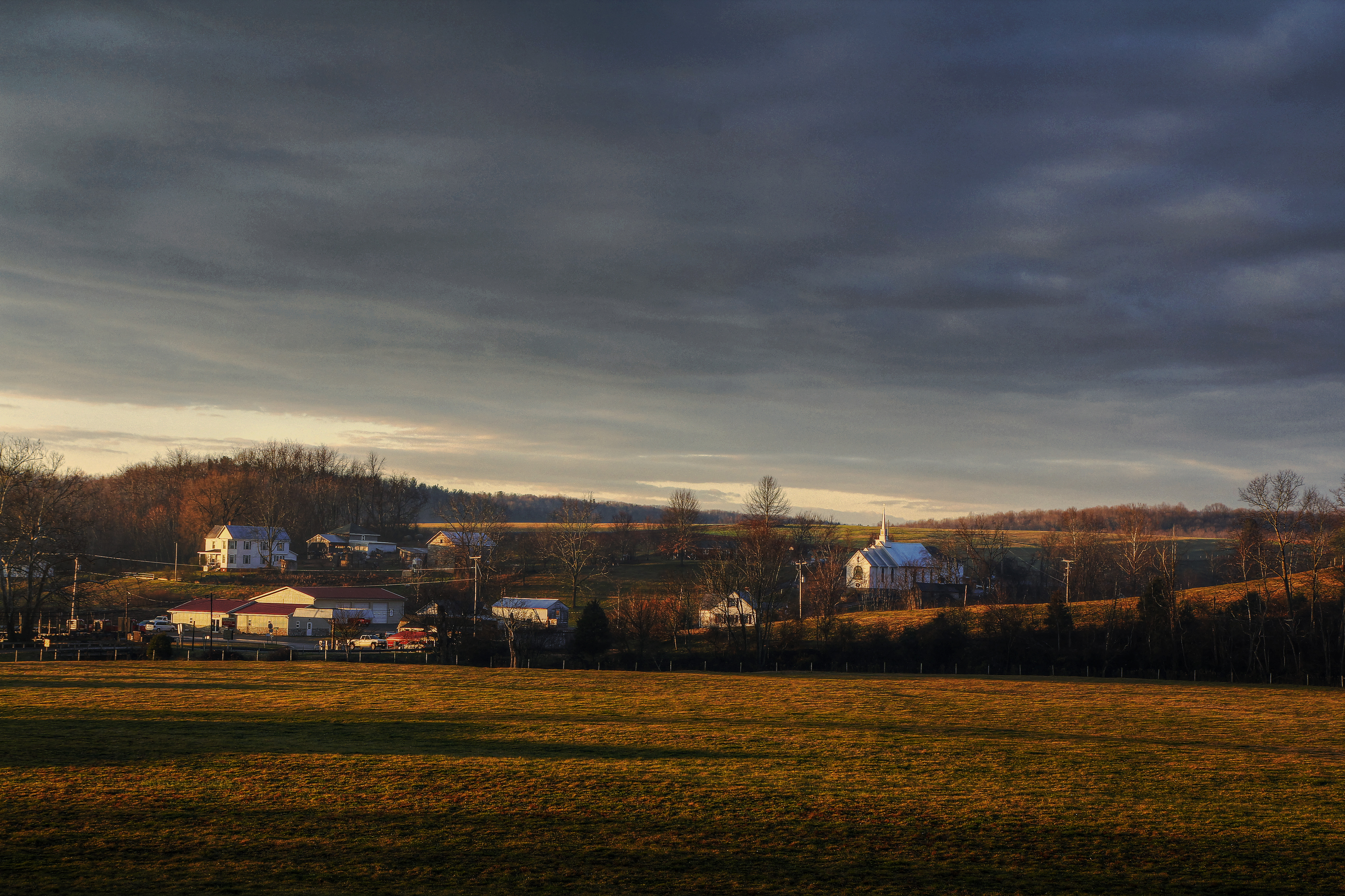
Farm House in December
Callaway Village
IMG_1664.jpg
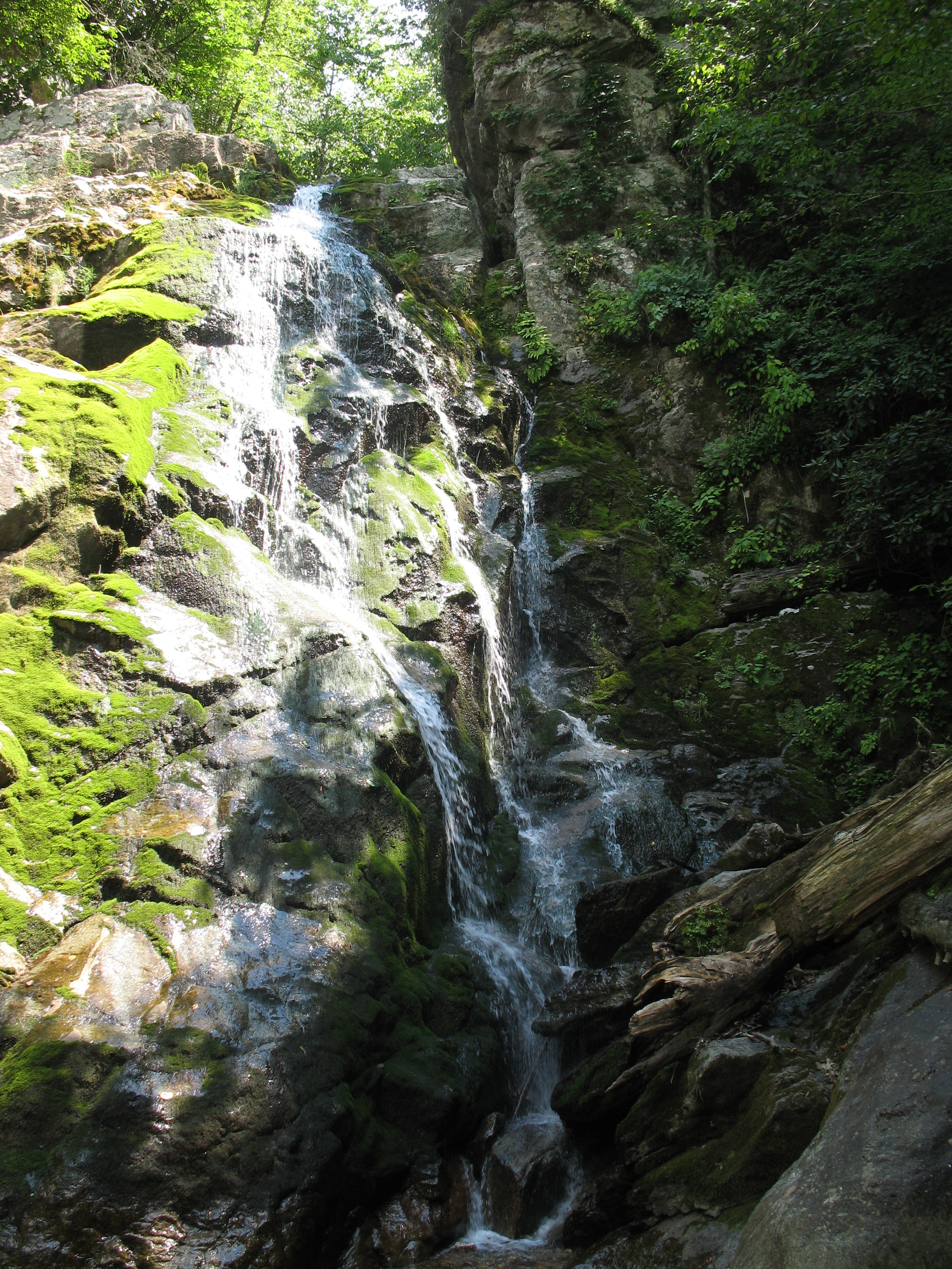
Bottom Creek Gorge
IMG_1660.jpg

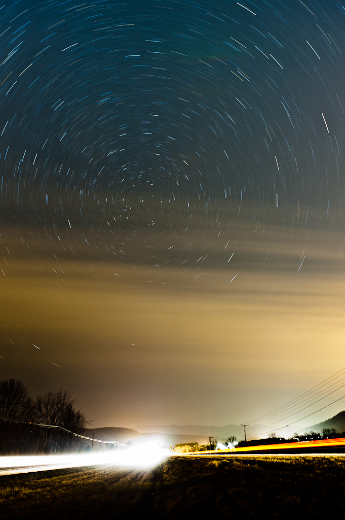
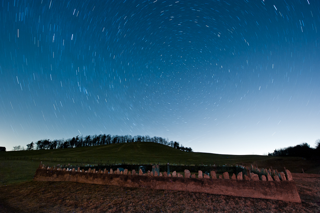
Milky Way Sonic Clear
2013.11.04_ZAD09

5-SpringHollowReservoir
2-SpringHollowReservoir

And this, our life
IMG_1663.jpg
Blue Ridge Parkway (77)
Time in the Dark

4-SpringHollowReservoir
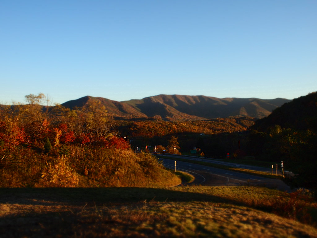
Fall by the roadside

Skate park

Just North of Blacksburg. Time for the jacket...
Topographic Map of Blue Ridge Parkway, Blue Ridge Pkwy, United States
Find elevation by address:

Places near Blue Ridge Parkway, Blue Ridge Pkwy, United States:
Blue Ridge Parkway
Blue Ridge Parkway
11272 Rocky Rd
Bent Mountain Road
9279 Floyd Hwy N
Bent Mountain
11578 Bottom Creek Rd
10609 Lancaster Rd
Bent Mountain Bistro
8993 Willett Ln
8459 Poor Mountain Rd
8459 Poor Mountain Rd
8714 Willett Ln
6294 Dillons Mill Rd
10569 Sugar Camp Creek Rd
Countrywood Drive
Windsor Hills
8021 Whistler Dr
Chaos Mountain Brewing
7985 Forest Creek Dr
Recent Searches:
- Elevation of Congressional Dr, Stevensville, MD, USA
- Elevation of Bellview Rd, McLean, VA, USA
- Elevation of Stage Island Rd, Chatham, MA, USA
- Elevation of Shibuya Scramble Crossing, 21 Udagawacho, Shibuya City, Tokyo -, Japan
- Elevation of Jadagoniai, Kaunas District Municipality, Lithuania
- Elevation of Pagonija rock, Kranto 7-oji g. 8"N, Kaunas, Lithuania
- Elevation of Co Rd 87, Jamestown, CO, USA
- Elevation of Tenjo, Cundinamarca, Colombia
- Elevation of Côte-des-Neiges, Montreal, QC H4A 3J6, Canada
- Elevation of Bobcat Dr, Helena, MT, USA