Elevation of Columbia Township, OH, USA
Location: United States > Ohio > Meigs County >
Longitude: -82.236598
Latitude: 39.1657376
Elevation: 191m / 627feet
Barometric Pressure: 99KPa
Elevation Map:
Satellite Map:
Related Photos:

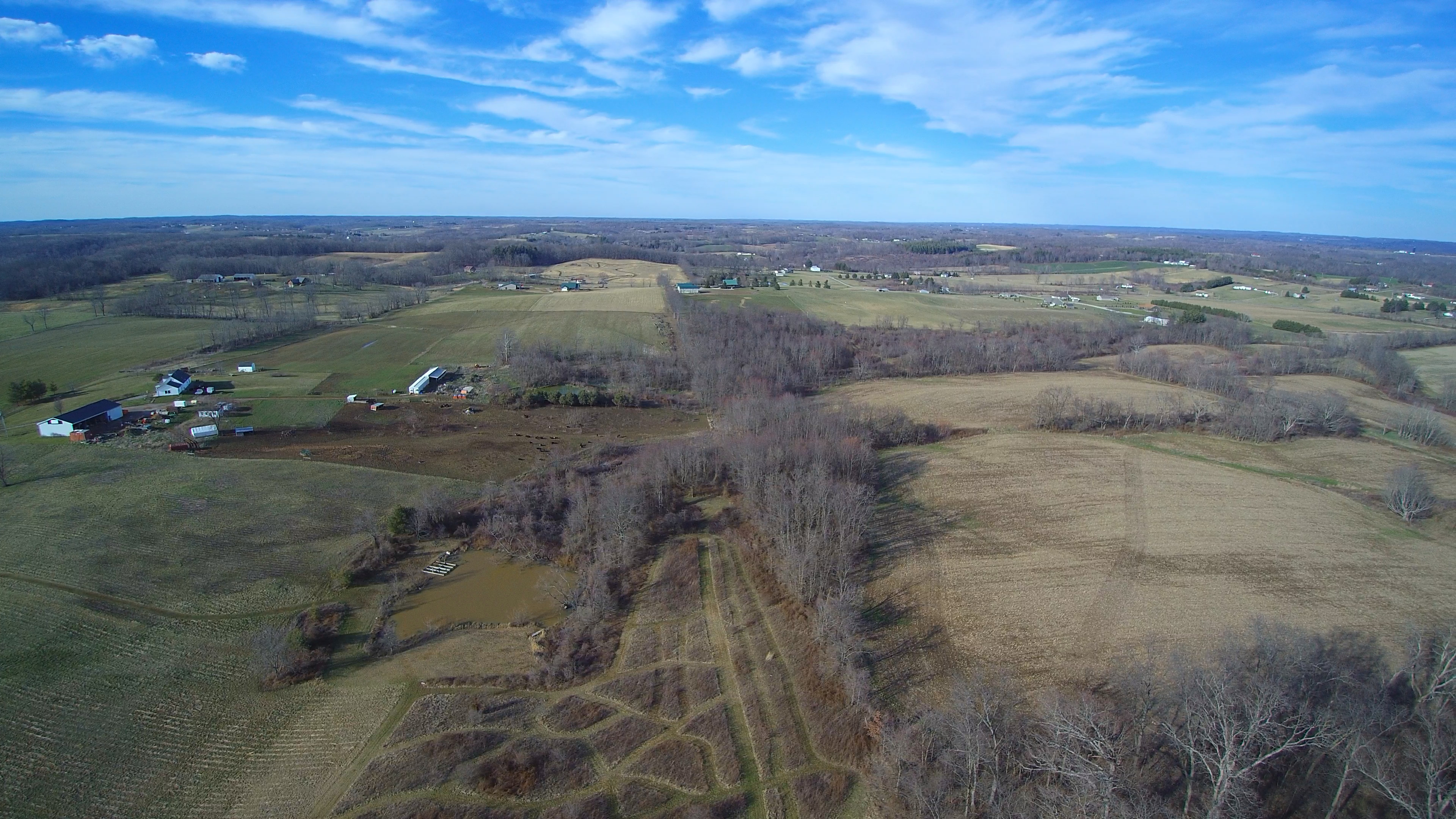
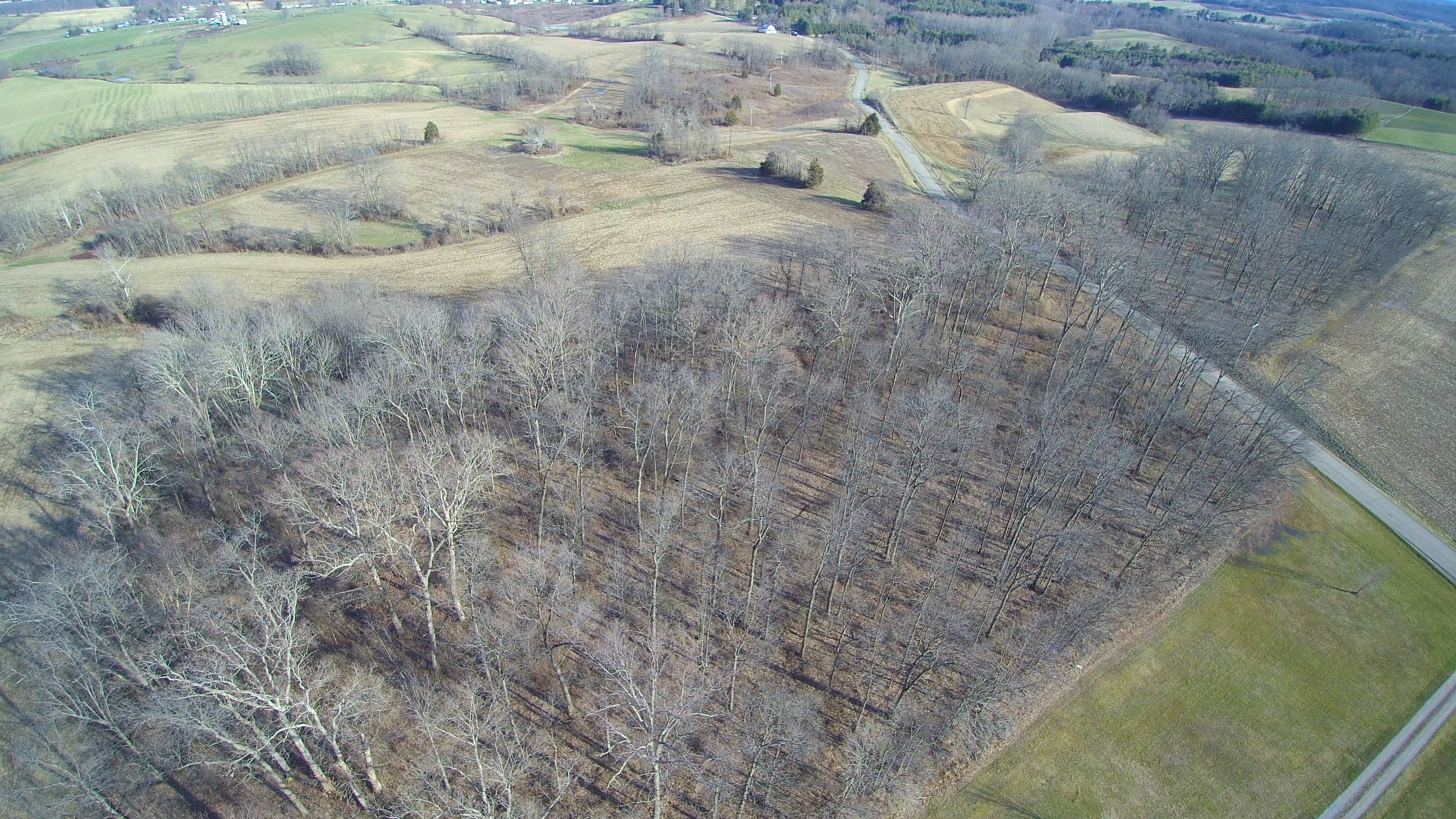
Yes it is still winter but not for much longer!

Campin'

Green man

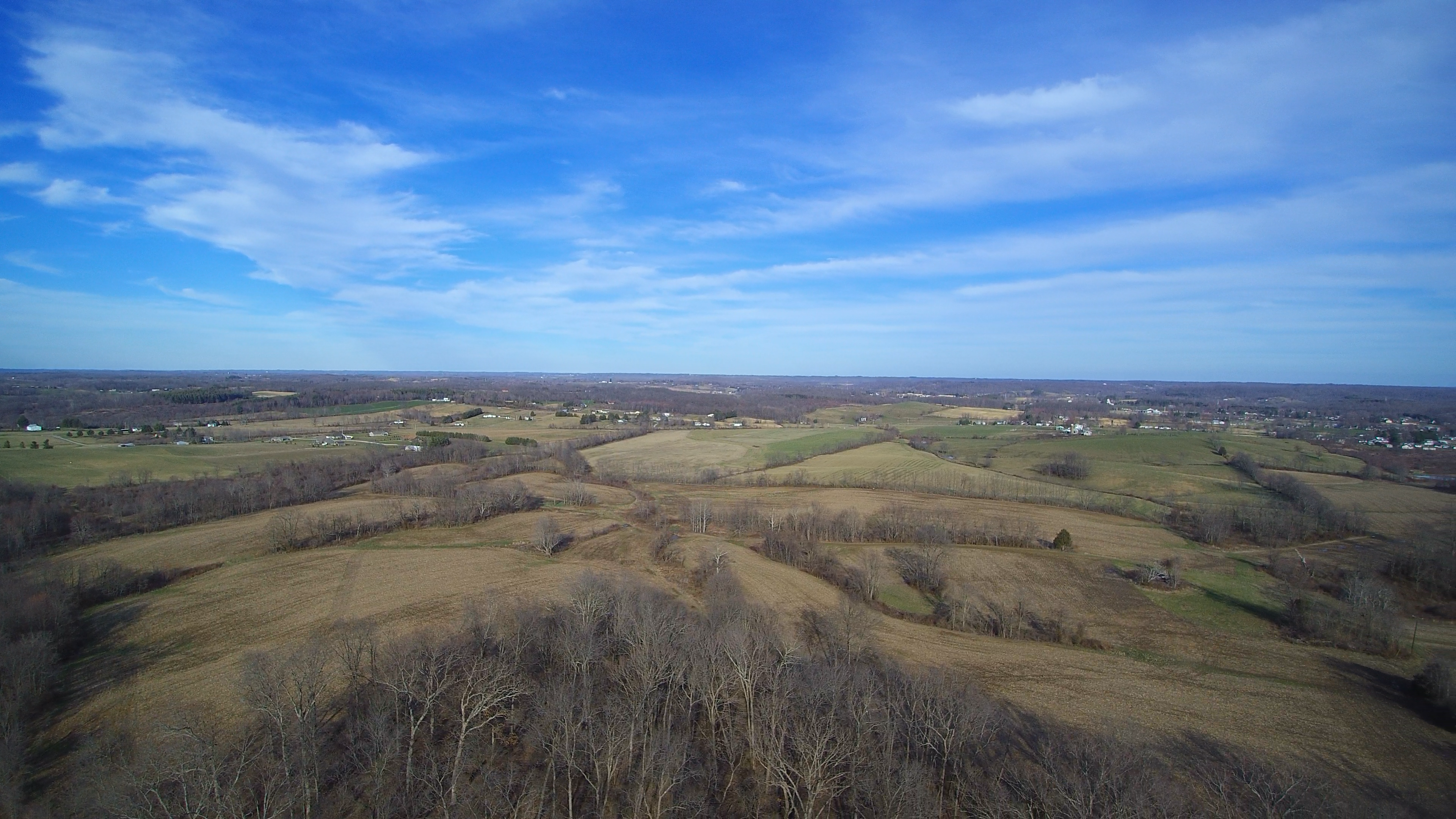
October Skies

October Skies

October Sunset

Yes it is still winter but not for much longer!
Nearly Spring!
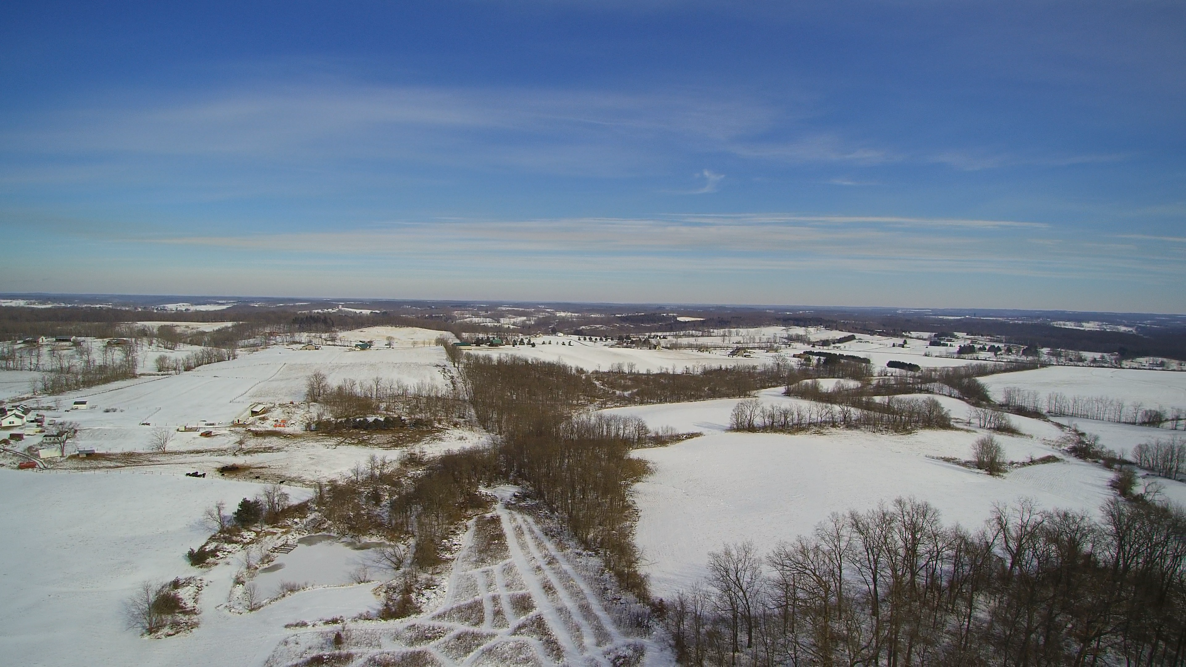
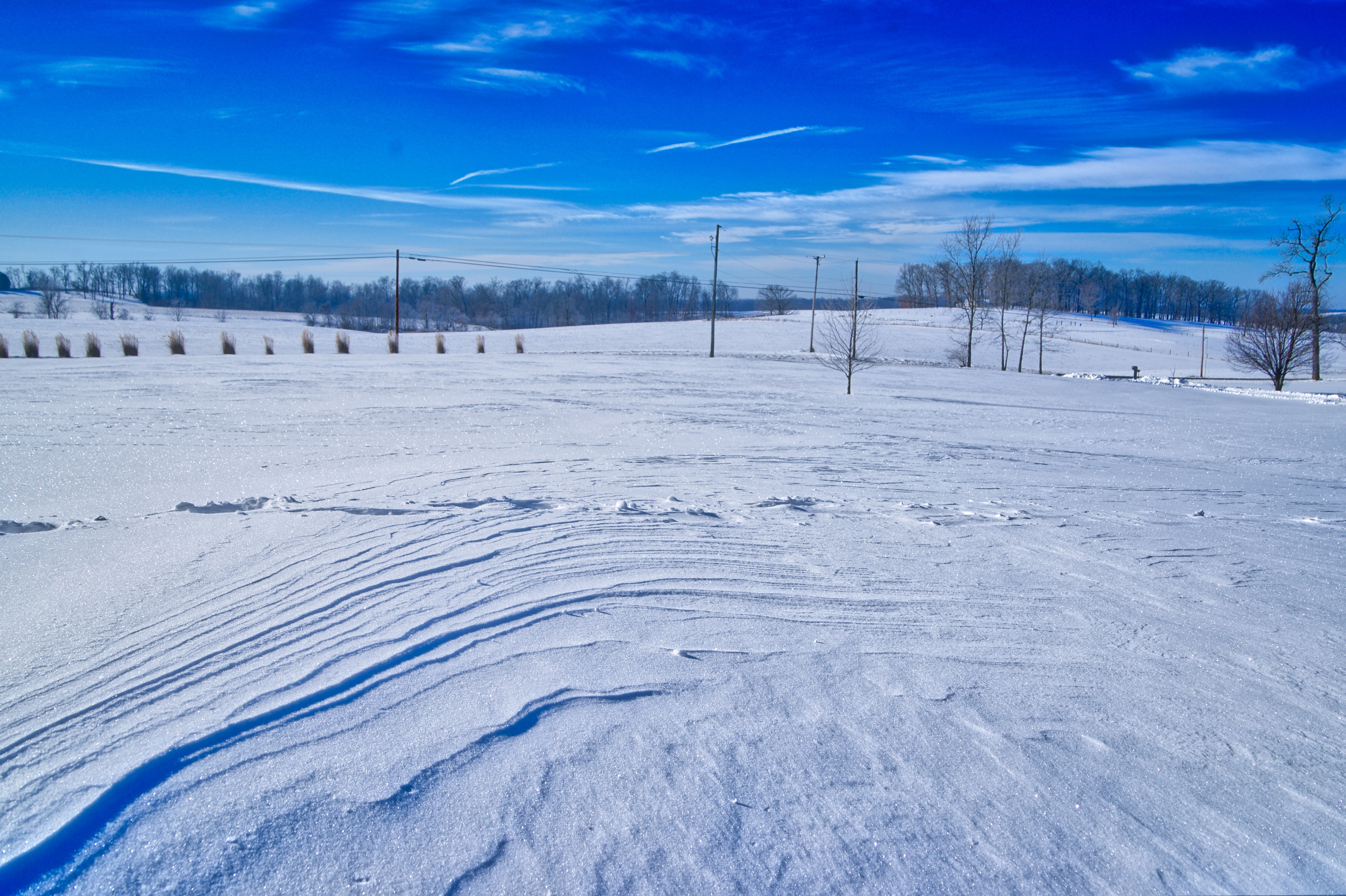
Snowy Landscapes
Snowy Landscapes

Another Day, Another Storm Passes
Nearly Spring!

Sunrise at KUNI

Beautiful Sky

4/29/13: A Million Wishes
Nearly Spring!

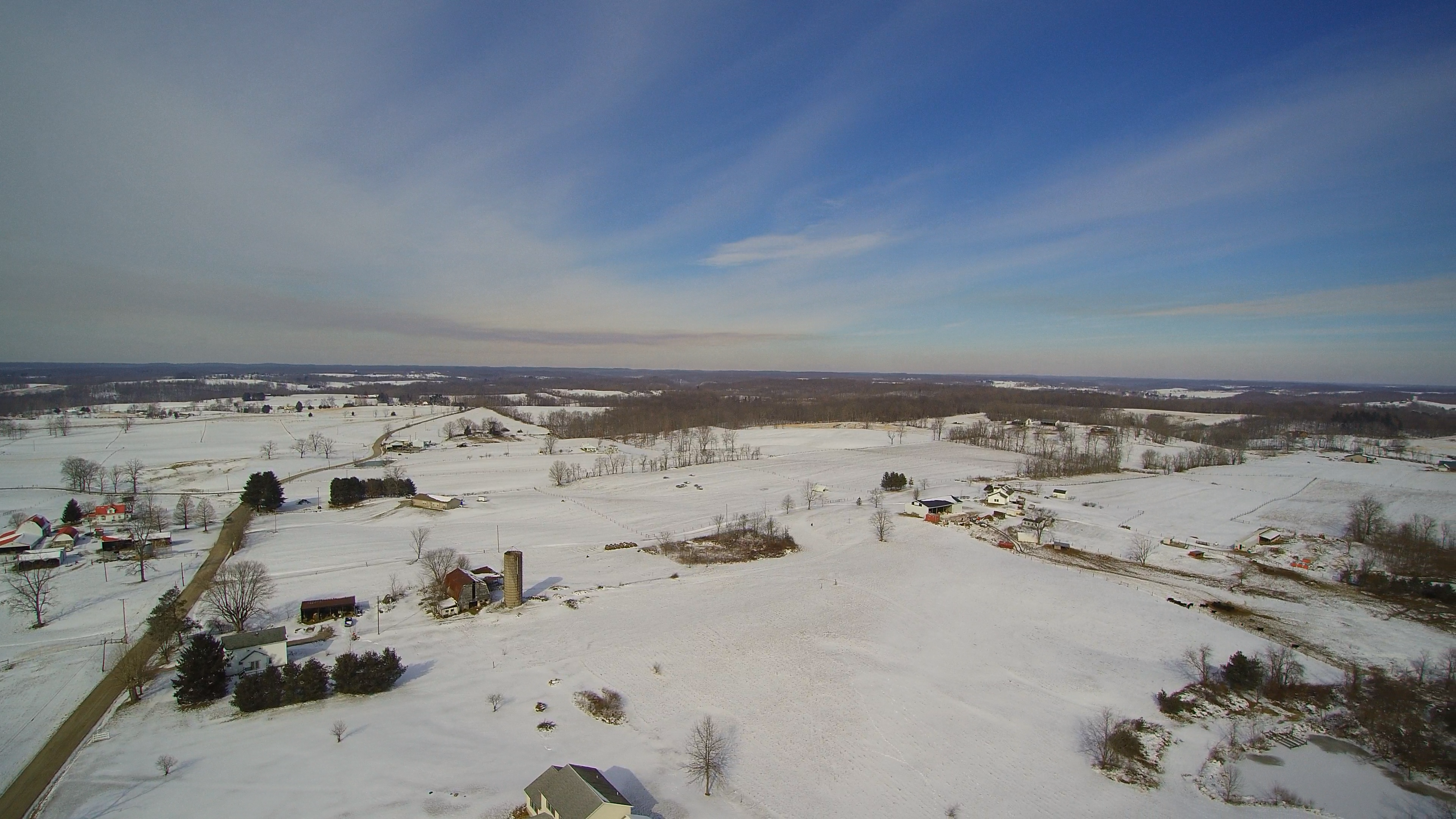
Snowy Morning in February
2016 Snow Event - January 22-23

That great morning light

Early Morning Fog

Early Morning Fog

Early Morning Fog

Evening Clouds

Cool July Sunrise!
Topographic Map of Columbia Township, OH, USA
Find elevation by address:

Places in Columbia Township, OH, USA:
Places near Columbia Township, OH, USA:
Carpenter
30095 Co Hwy 6
34453 Mccumber Hill Rd
34453 Mccumber Hill Rd
Rutland Township
Langsville
Co Hwy 2, Langsville, OH, USA
New Lima Rd, Rutland, OH, USA
Rutland
Hill St, Middleport, OH, USA
37012 Wolfpen Rd
Gold Ridge Road
40221 Township Hwy 130
Salisbury Township
Darwin
Bedford Township
306 Wetzgall St
34741 Rocksprings Rd
207 Butternut Ave
205 Butternut Ave
Recent Searches:
- Elevation of Leguwa, Nepal
- Elevation of County Rd, Enterprise, AL, USA
- Elevation of Kolchuginsky District, Vladimir Oblast, Russia
- Elevation of Shustino, Vladimir Oblast, Russia
- Elevation of Lampiasi St, Sarasota, FL, USA
- Elevation of Elwyn Dr, Roanoke Rapids, NC, USA
- Elevation of Congressional Dr, Stevensville, MD, USA
- Elevation of Bellview Rd, McLean, VA, USA
- Elevation of Stage Island Rd, Chatham, MA, USA
- Elevation of Shibuya Scramble Crossing, 21 Udagawacho, Shibuya City, Tokyo -, Japan