Elevation of McCumber Hill Rd, Rutland, OH, USA
Location: United States > Ohio > Meigs County >
Longitude: -82.157094
Latitude: 39.081702
Elevation: 218m / 715feet
Barometric Pressure: 99KPa
Elevation Map:
Satellite Map:
Related Photos:
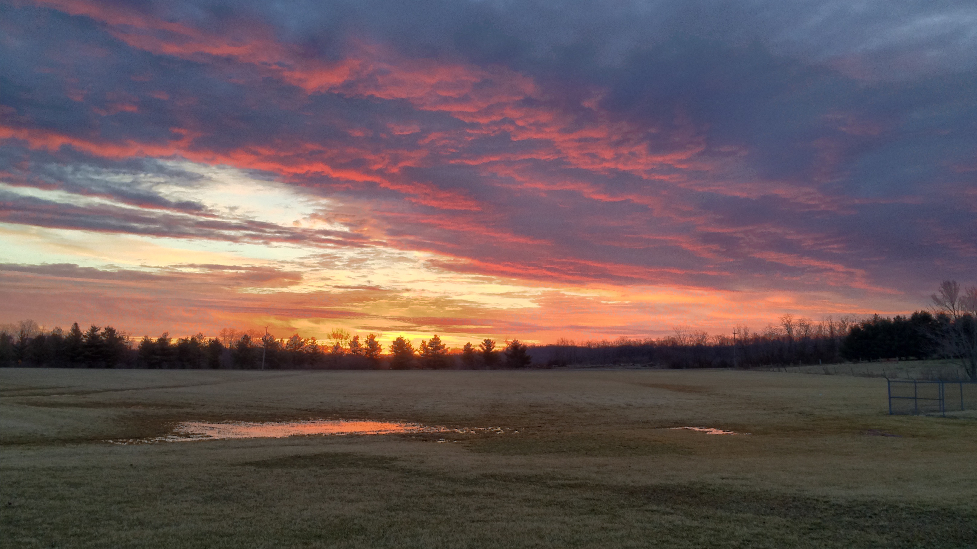
Yes it is still winter but not for much longer!
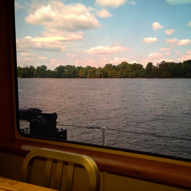
Had lunch with a view! #galley #boat #lovemyjob
Green man
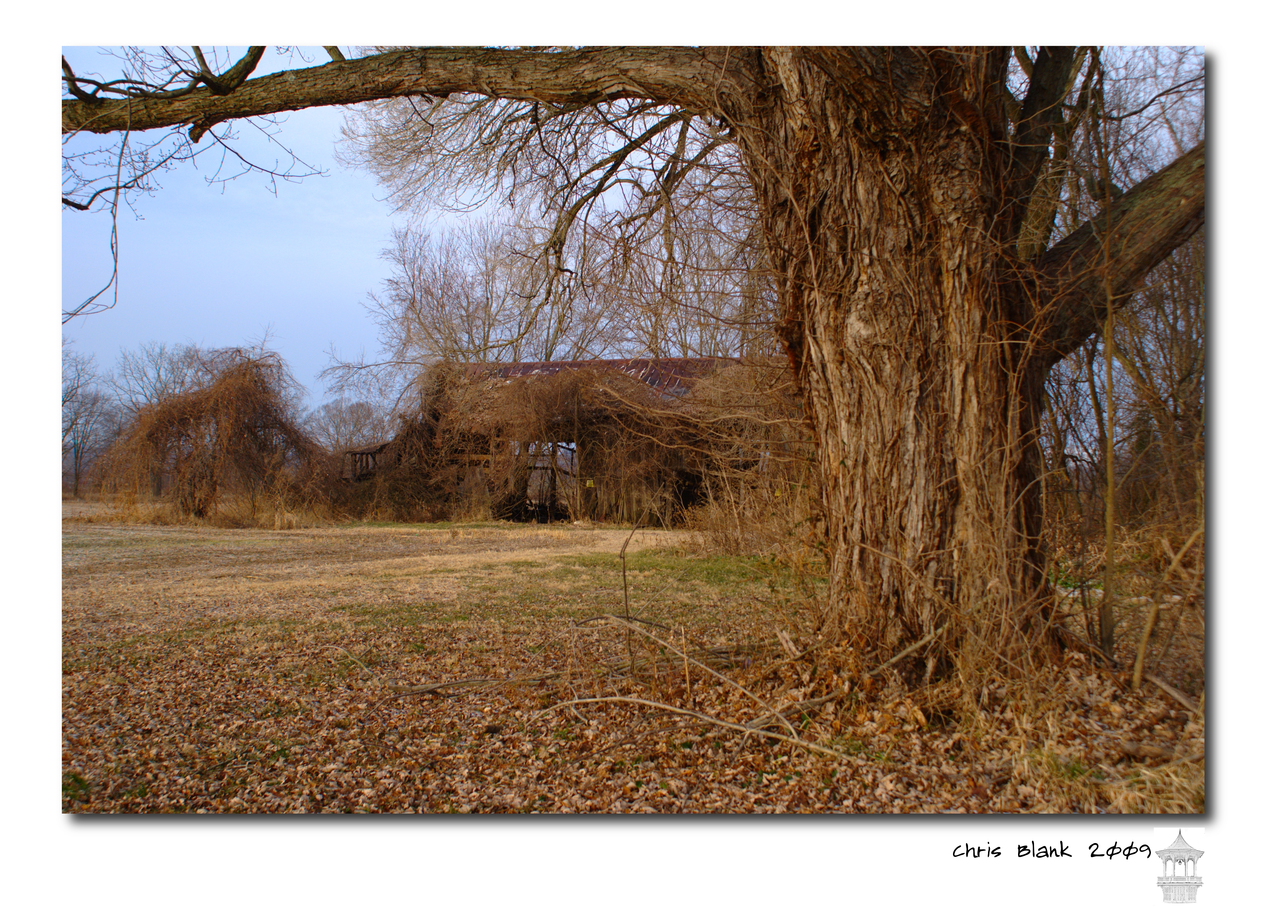
An old barn in Cheshire Ohio
Pomeroy, OH 5
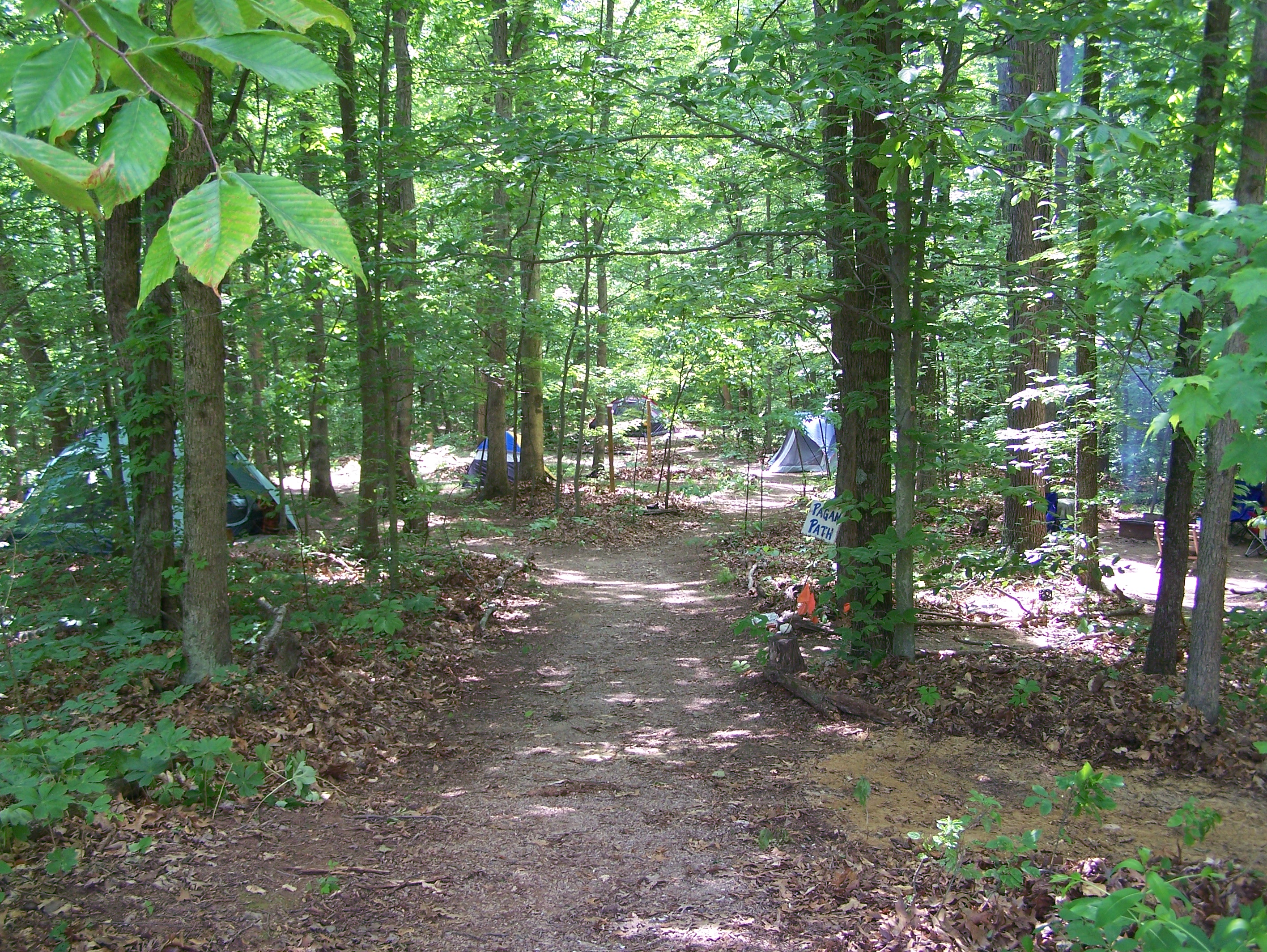
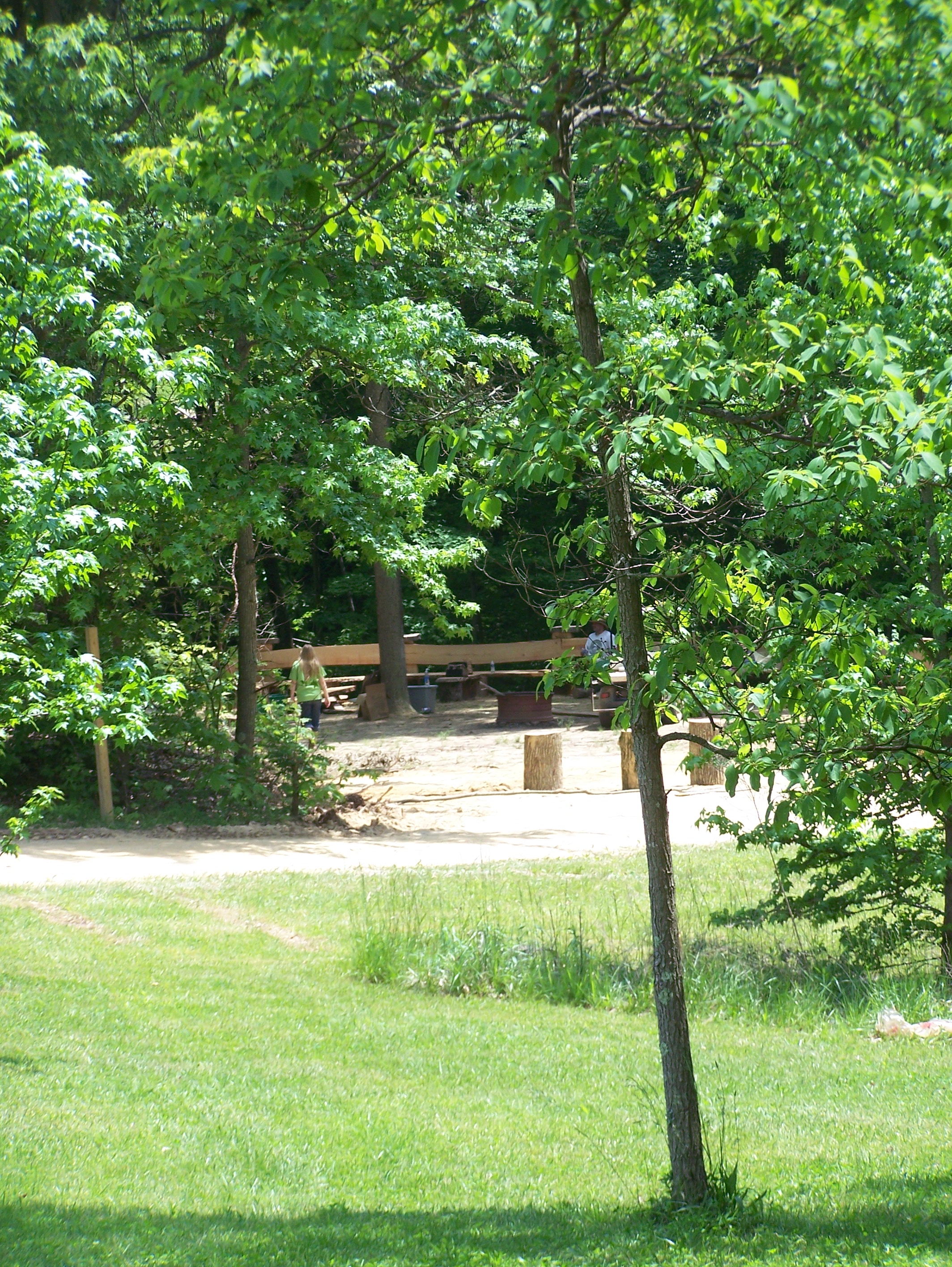
Campin'
Views like this makes #exercise a little easier. #healthy #run #walk #justdoit

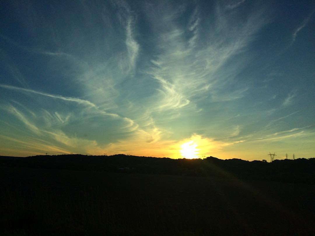
October Skies
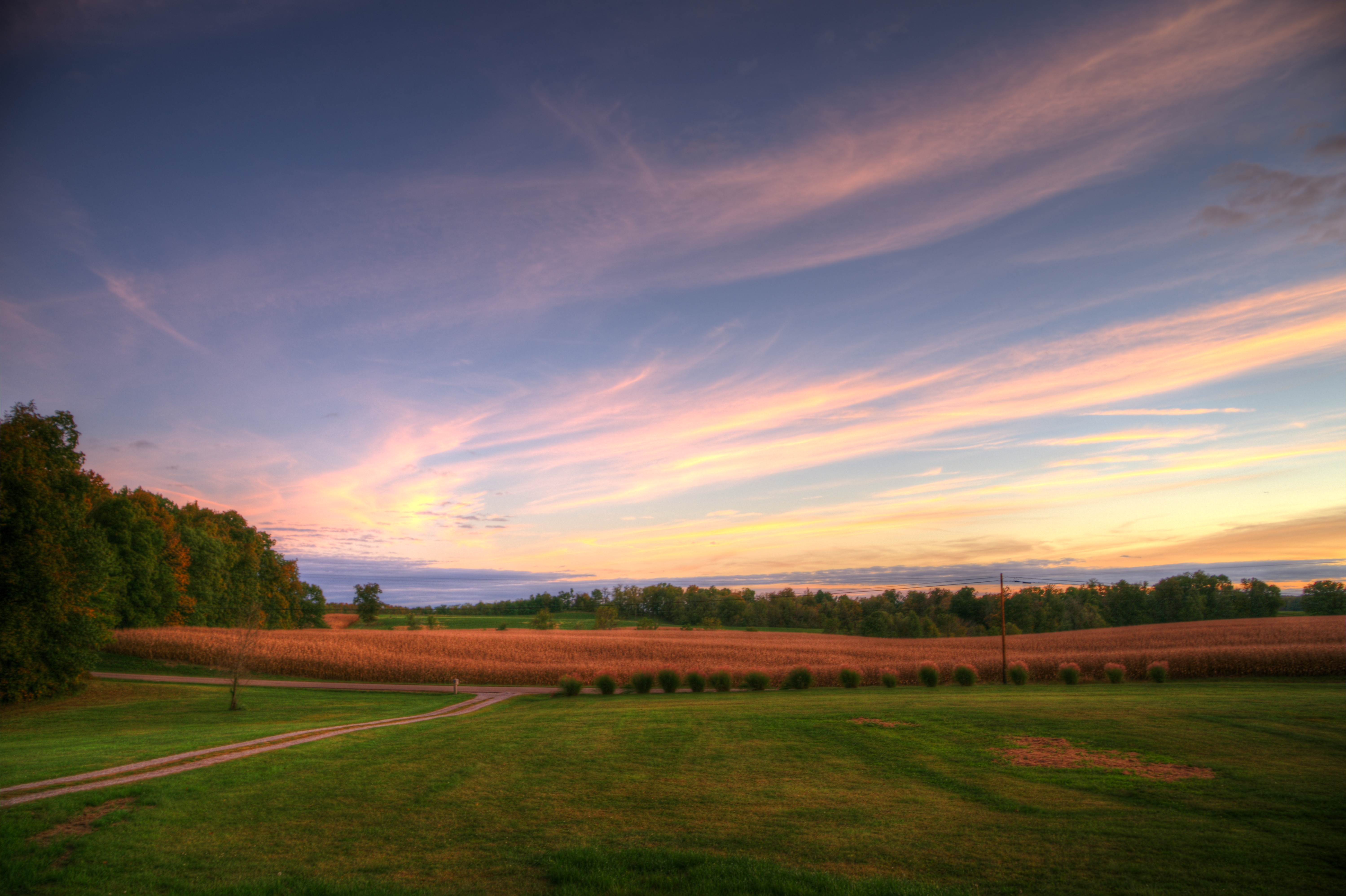
October Skies

October Sunset
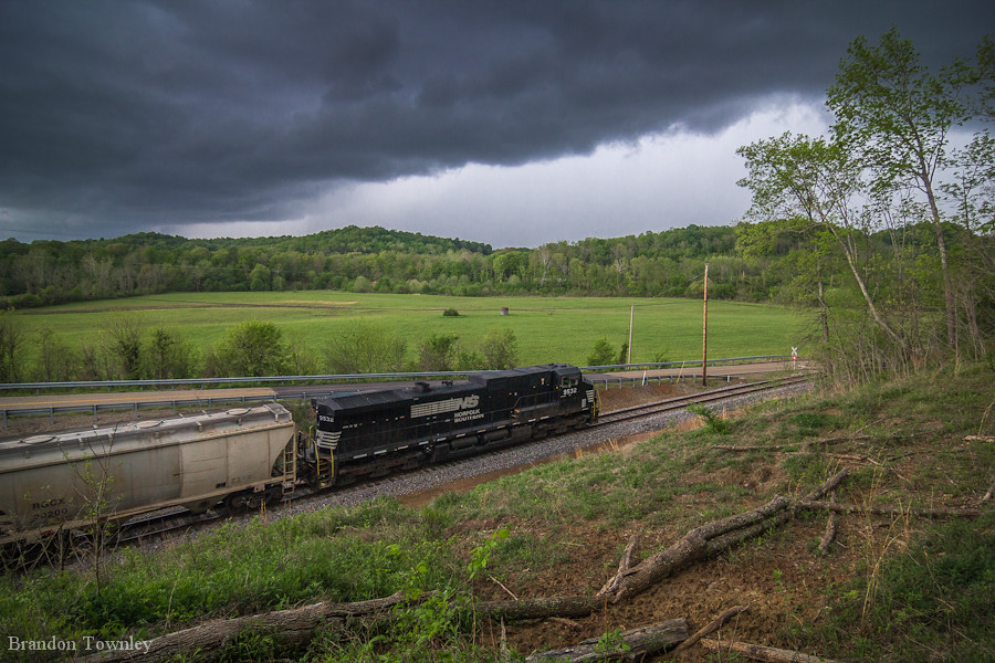
Norfolk Southern Into the Storm
From last night's ride. First #vette ride of the "summer". #corvette #sunset #sun

Tonight's #sunset
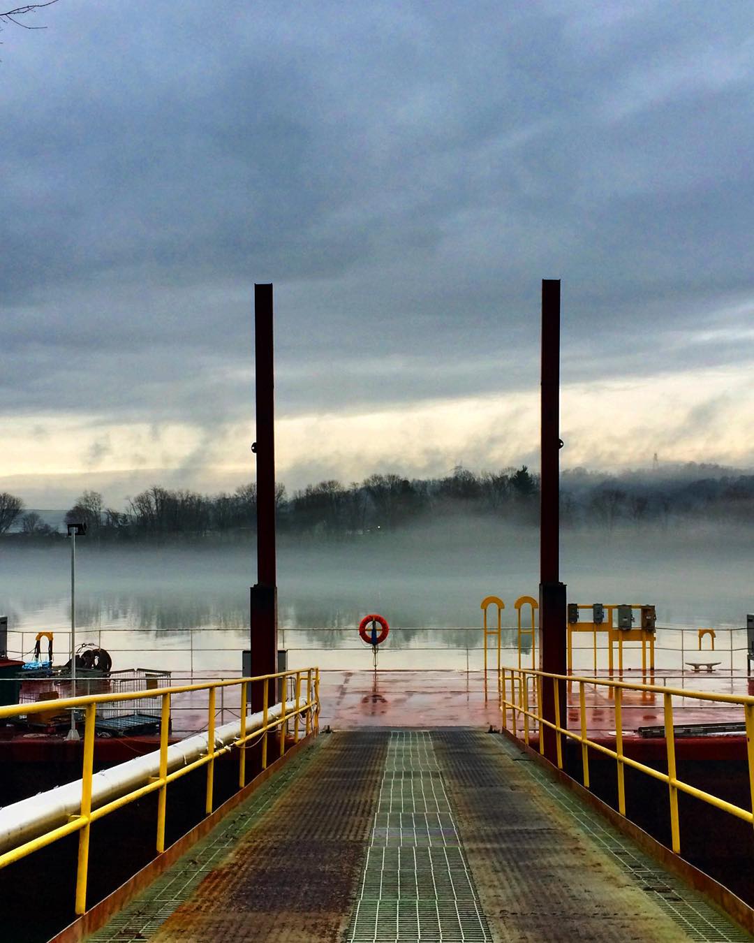
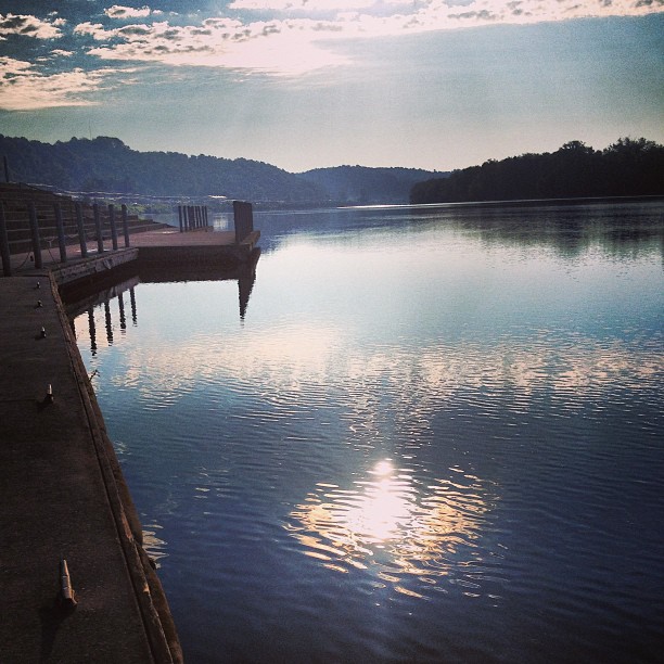
#fog #Ohio #river #OhioRiver

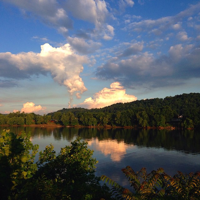
Natural and man made clouds
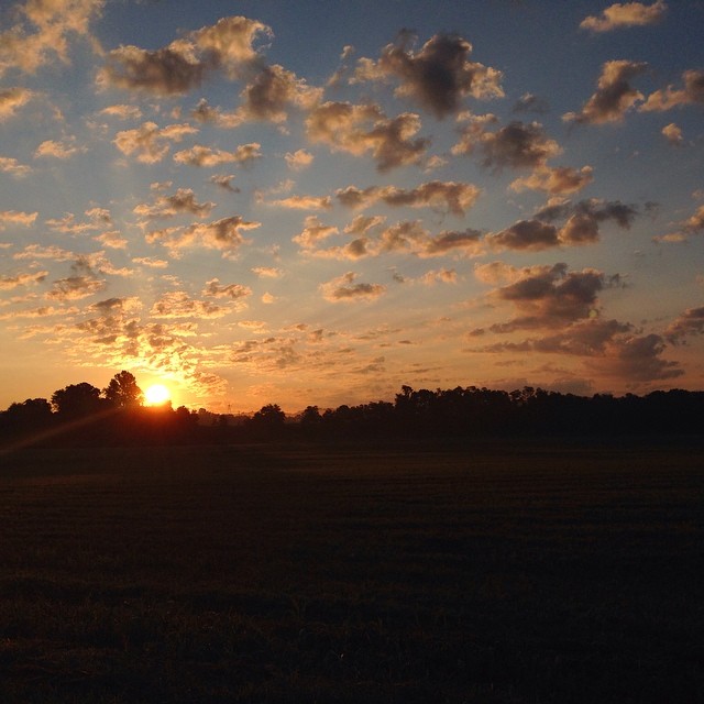
What a beautiful #sunrise
Sitting here waiting for my oil to be changed and drinking my coffee...
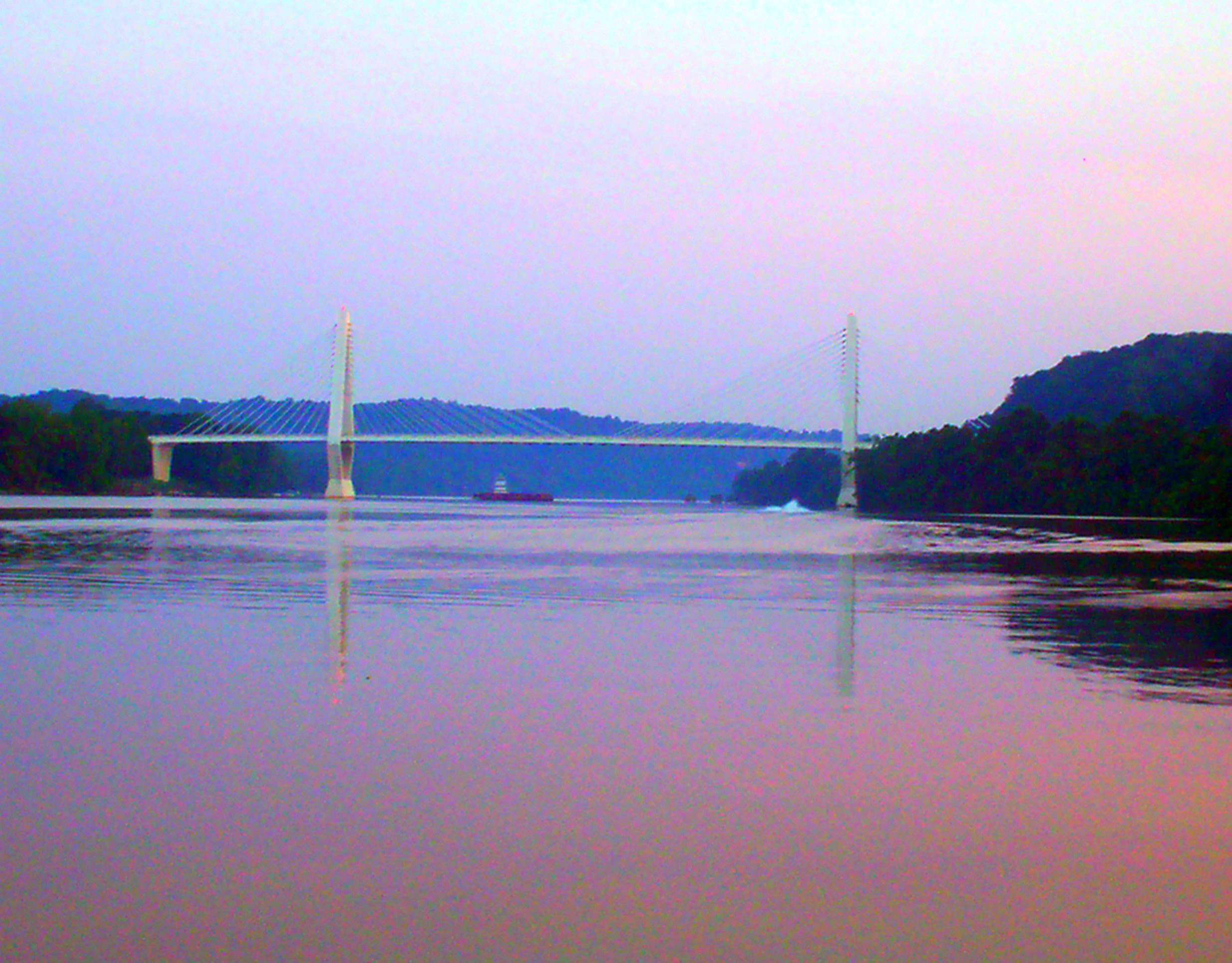
Pomeroy-Mason Bridge

Another Day, Another Storm Passes
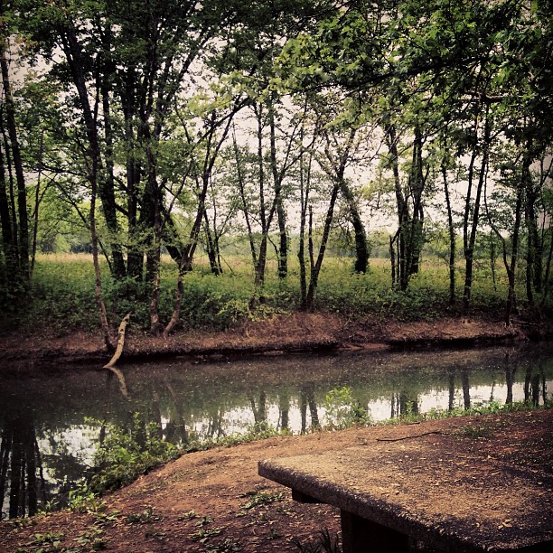
Leading Creek Water Trail
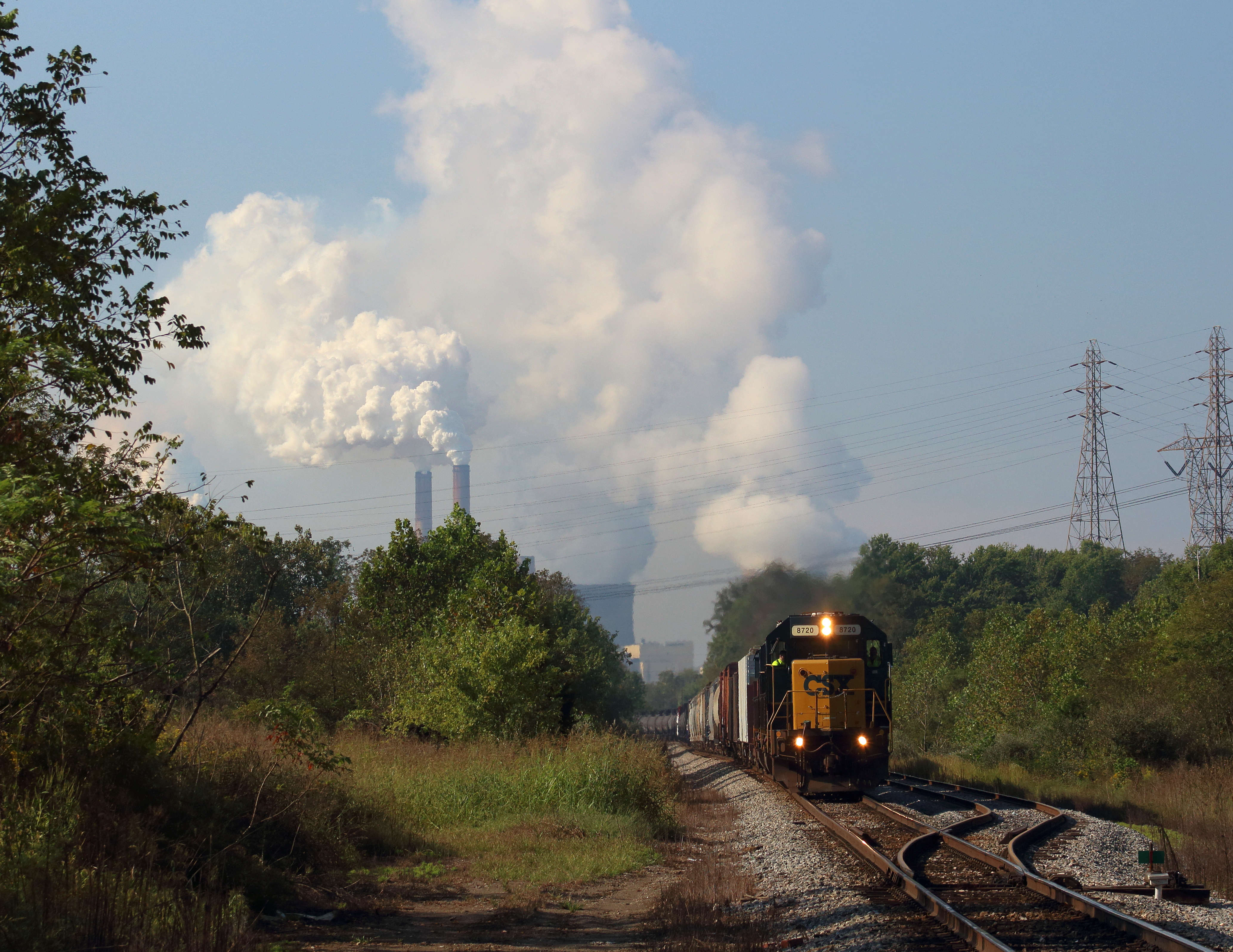
Steam over Diesel
Pomeroy, Ohio

Daddy and I are having a cup of coffee and watching the river flow by.

#fog #Ohio #river #OhioRiver
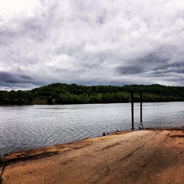
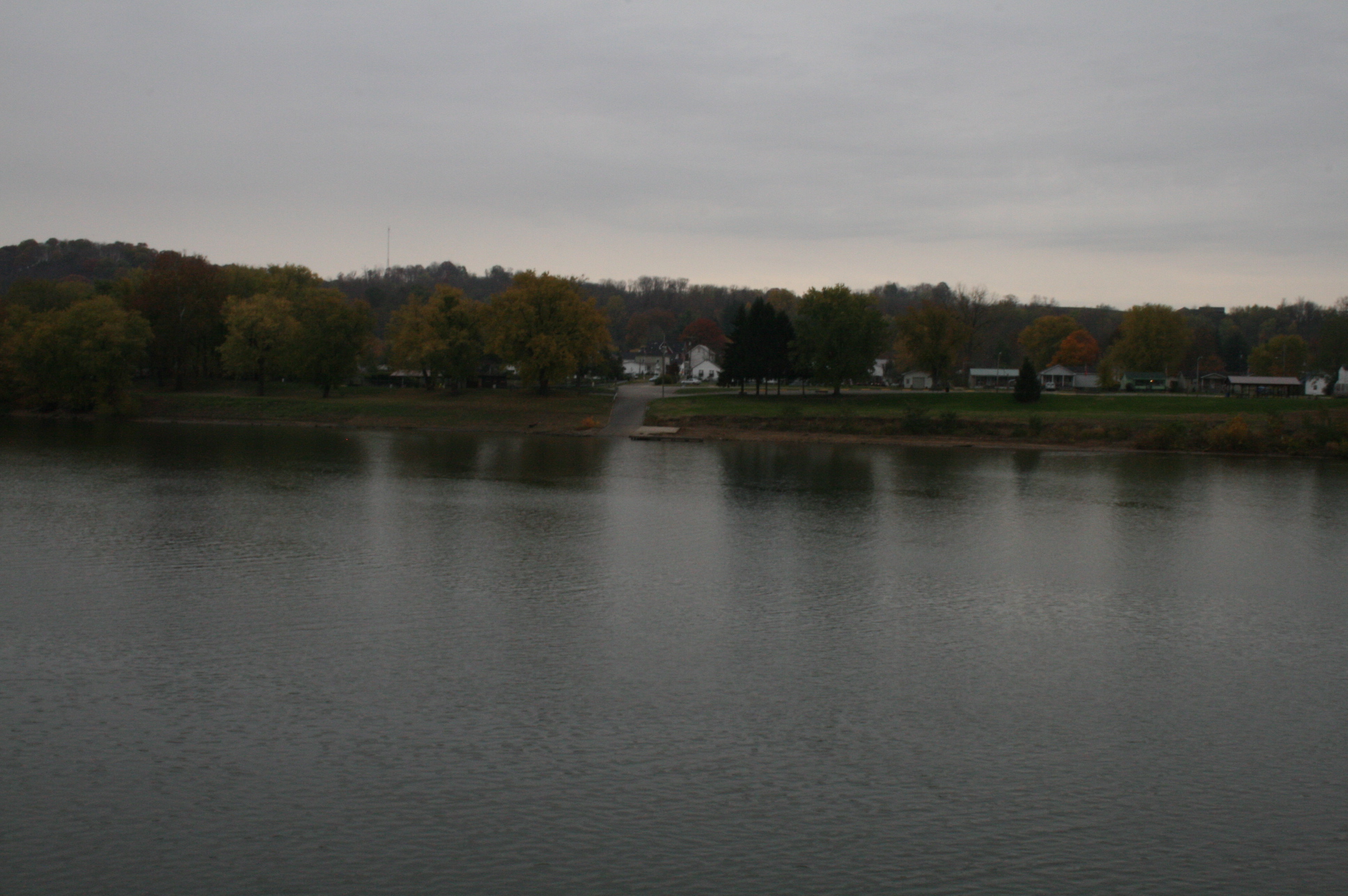
Middleport Boat Access #OhioRiver

Sacred Heart Catholic Church - Pomeroy, Ohio
Aunt Velma's backyard
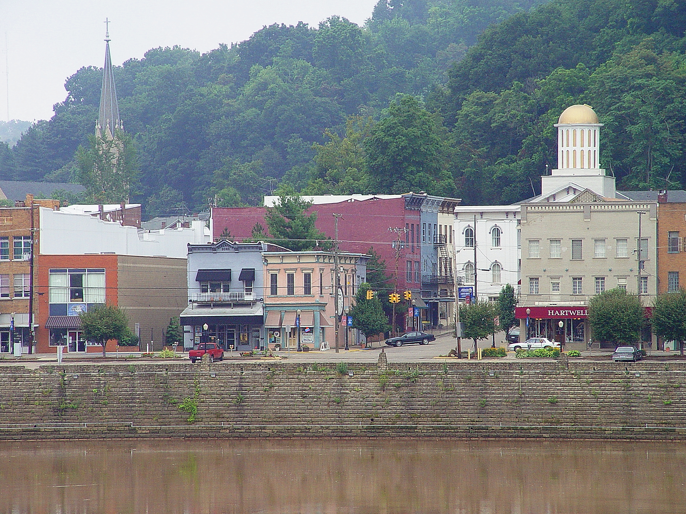
Pomeroy, Ohio 3
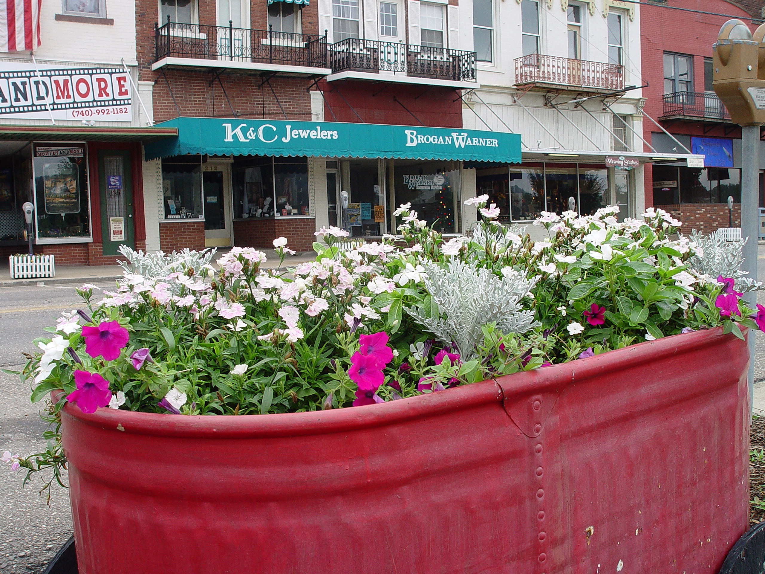
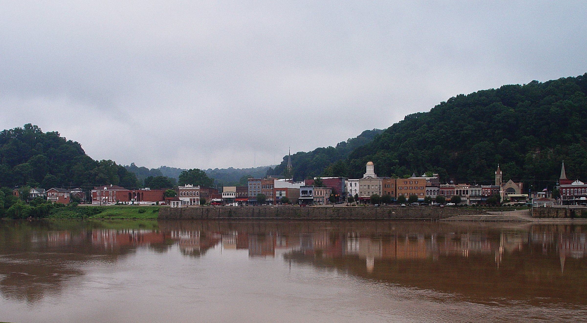
Main Street - Pomeroy Ohio
Topographic Map of McCumber Hill Rd, Rutland, OH, USA
Find elevation by address:

Places near McCumber Hill Rd, Rutland, OH, USA:
34453 Mccumber Hill Rd
Rutland Township
Langsville
New Lima Rd, Rutland, OH, USA
Rutland
Hill St, Middleport, OH, USA
Co Hwy 2, Langsville, OH, USA
37012 Wolfpen Rd
30095 Co Hwy 6
Salisbury Township
Carpenter
Columbia Township
Gold Ridge Road
306 Wetzgall St
207 Butternut Ave
205 Butternut Ave
40221 Township Hwy 130
203 Butternut Ave
20 Butternut Ave
Pomeroy
Recent Searches:
- Elevation of 15th Ave SE, St. Petersburg, FL, USA
- Elevation of Beall Road, Beall Rd, Florida, USA
- Elevation of Leguwa, Nepal
- Elevation of County Rd, Enterprise, AL, USA
- Elevation of Kolchuginsky District, Vladimir Oblast, Russia
- Elevation of Shustino, Vladimir Oblast, Russia
- Elevation of Lampiasi St, Sarasota, FL, USA
- Elevation of Elwyn Dr, Roanoke Rapids, NC, USA
- Elevation of Congressional Dr, Stevensville, MD, USA
- Elevation of Bellview Rd, McLean, VA, USA