Elevation of Rutland Township, OH, USA
Location: United States > Ohio > Meigs County >
Longitude: -82.149604
Latitude: 39.0771169
Elevation: 245m / 804feet
Barometric Pressure: 98KPa
Elevation Map:
Satellite Map:
Related Photos:

Had lunch with a view! #galley #boat #lovemyjob

Malaysian Serama
Green man
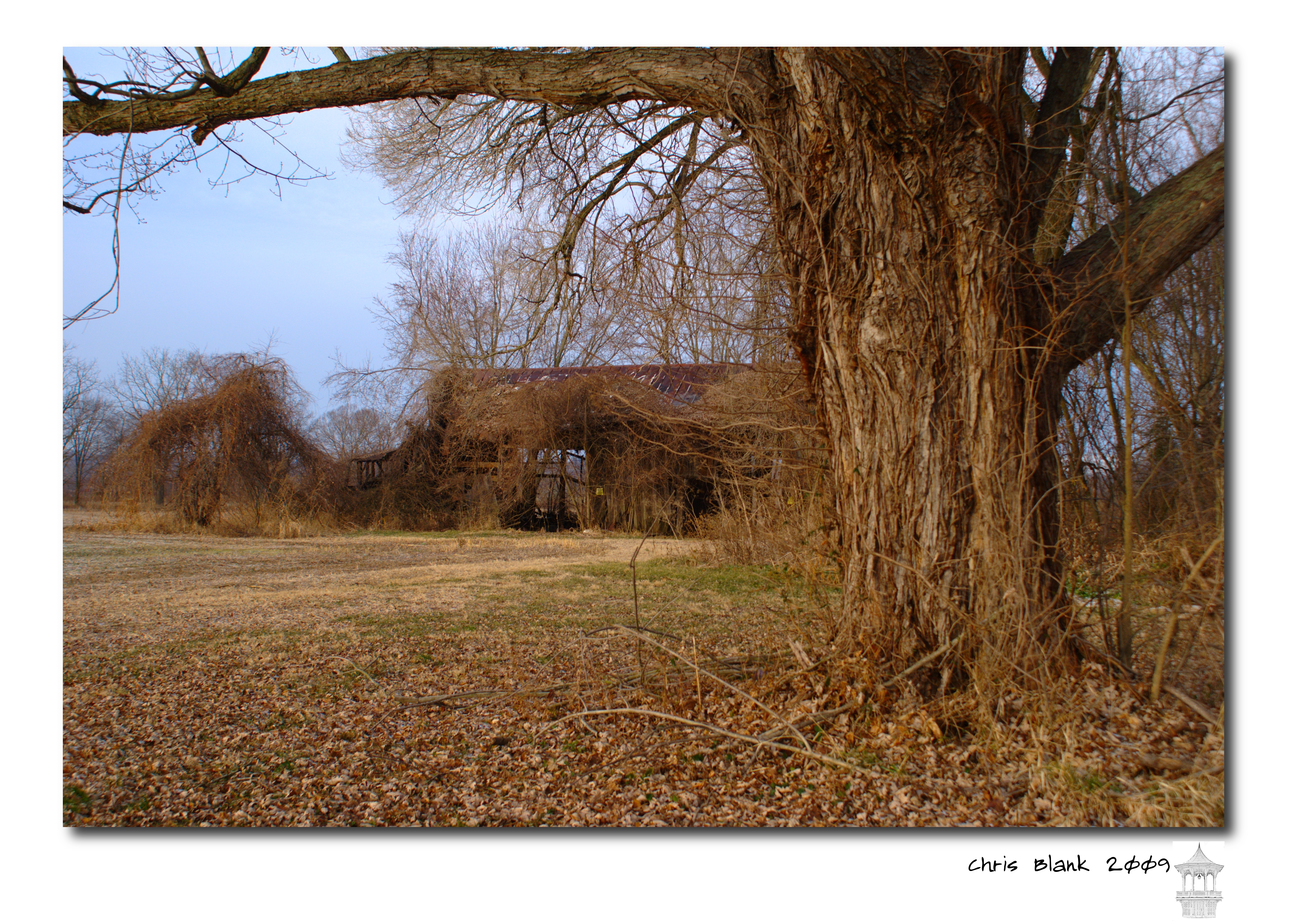
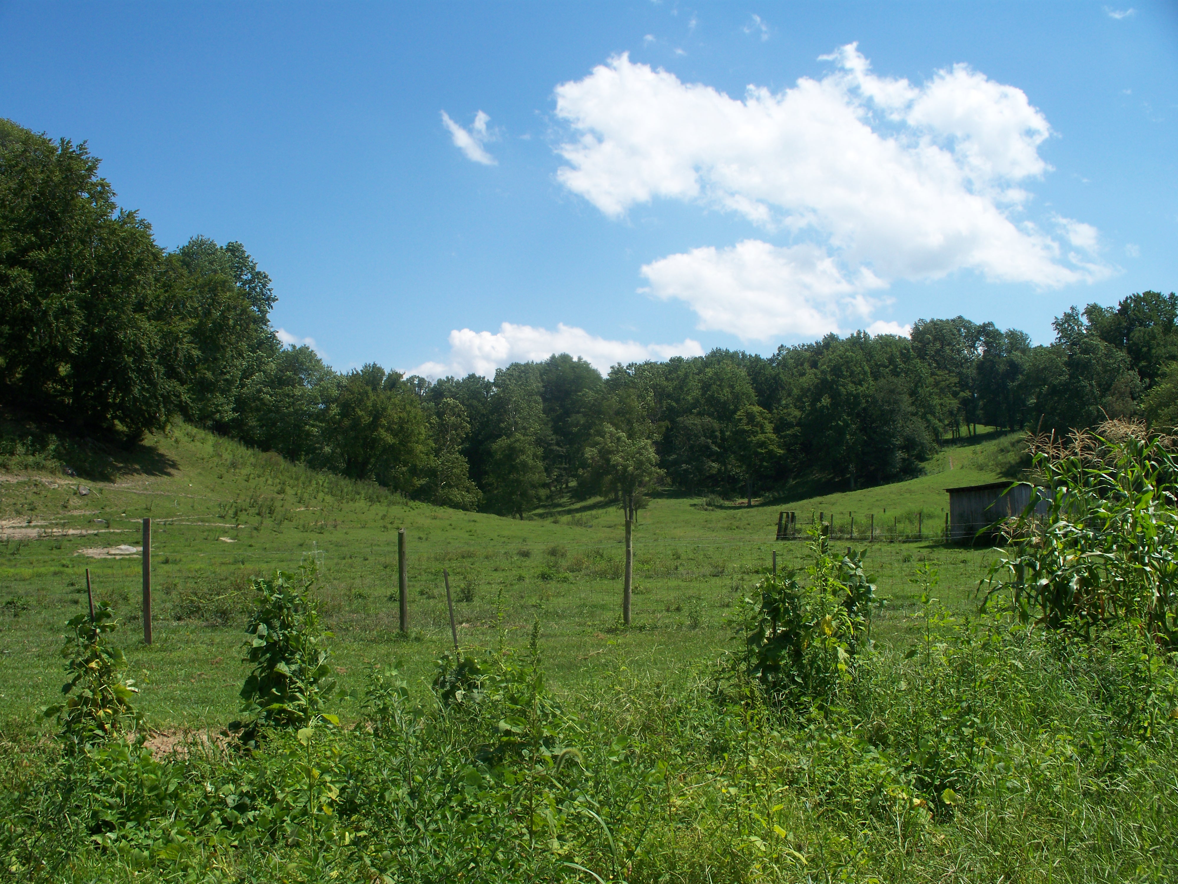
An old barn in Cheshire Ohio
Pomeroy, OH 5
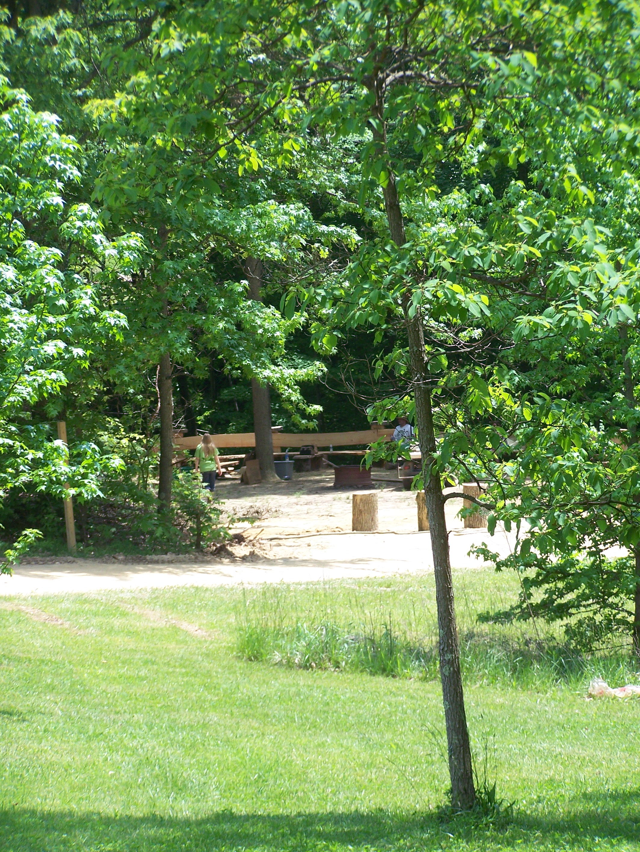
Campin'

Views like this makes #exercise a little easier. #healthy #run #walk #justdoit

Norfolk Southern Into the Storm

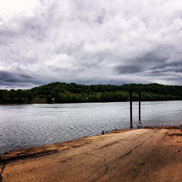
#fog #Ohio #river #OhioRiver

Tonight's #sunset

What a beautiful #sunrise

Sitting here waiting for my oil to be changed and drinking my coffee...

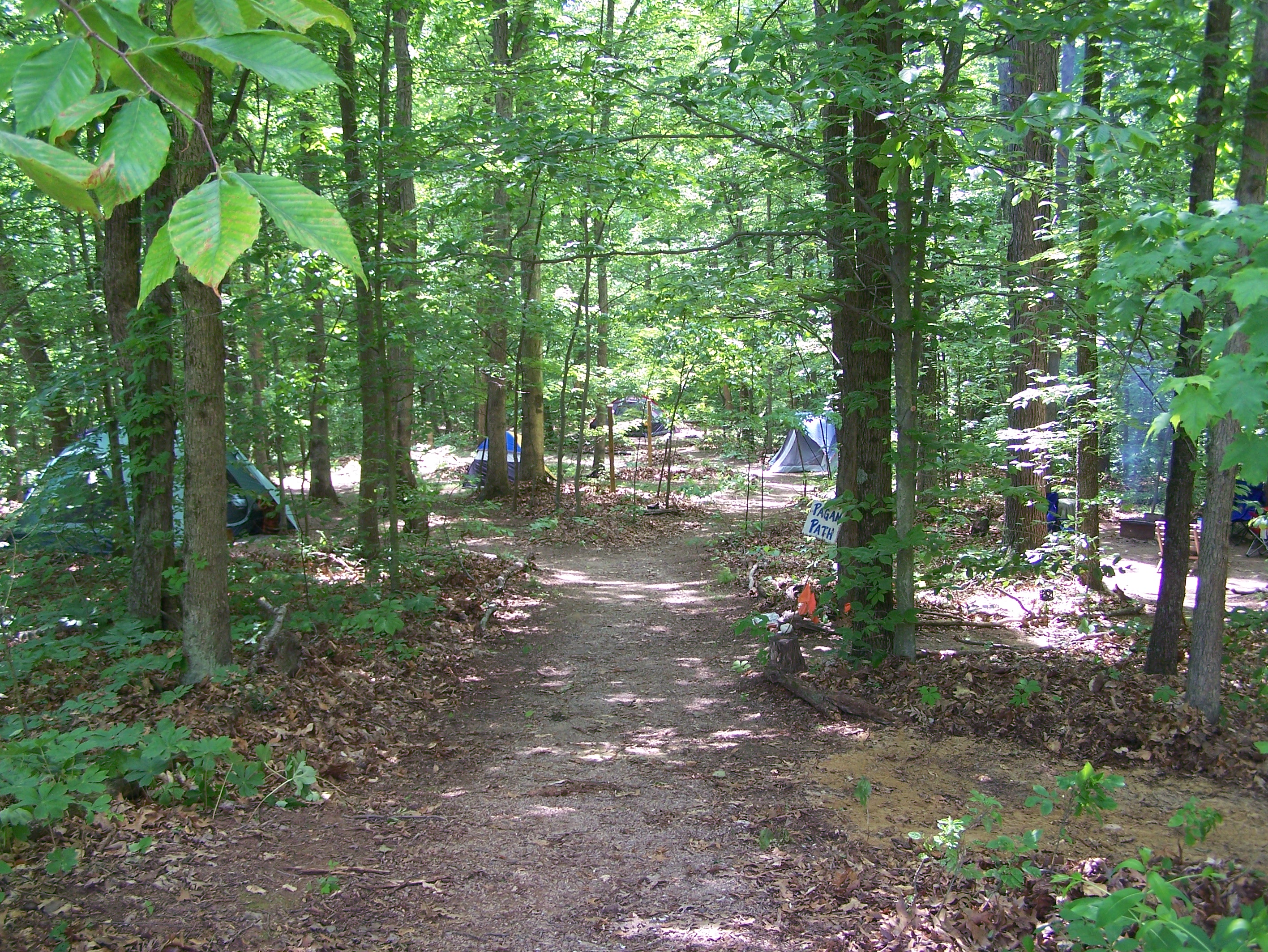
Leading Creek Water Trail

Evening walk with Daddy

Pomeroy-Mason Bridge

Daddy and I are having a cup of coffee and watching the river flow by.

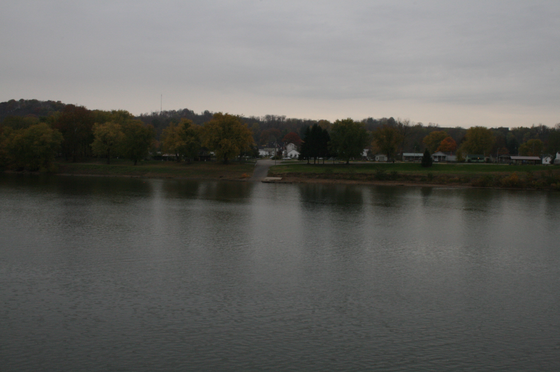
Pomeroy, Ohio

Natural and man made clouds

#fog #Ohio #river #OhioRiver
Middleport Boat Access #OhioRiver
Aunt Velma's backyard

Sacred Heart Catholic Church - Pomeroy, Ohio

Pomeroy, Ohio 3
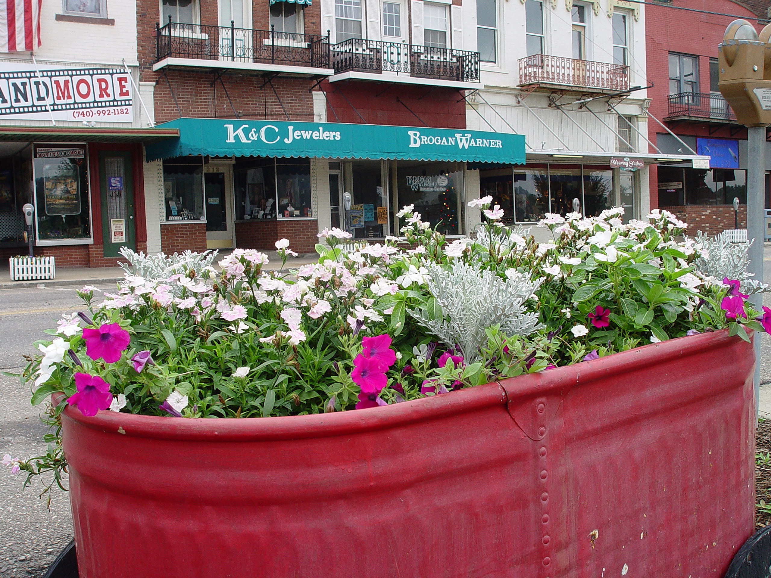
Main Street - Pomeroy Ohio
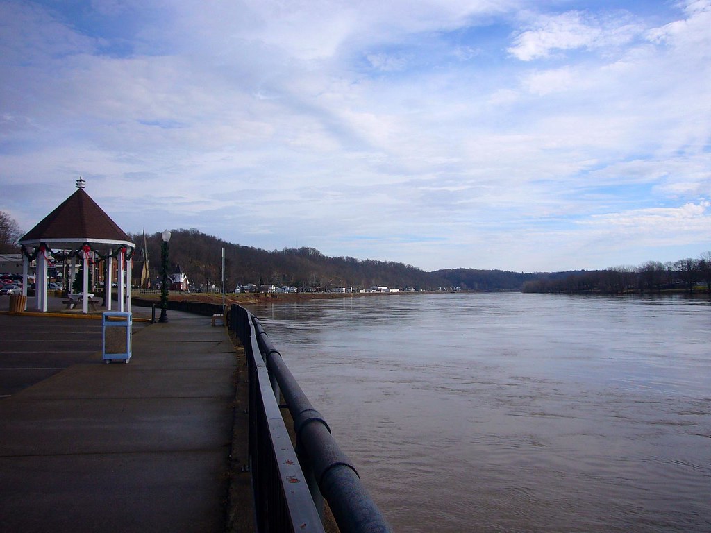
Pomeroy, OH

"The #sky is an infinite movie to me. I never get tired of looking at what's happening up there." #KDLang
Topographic Map of Rutland Township, OH, USA
Find elevation by address:

Places in Rutland Township, OH, USA:
Places near Rutland Township, OH, USA:
34453 Mccumber Hill Rd
34453 Mccumber Hill Rd
New Lima Rd, Rutland, OH, USA
Rutland
Hill St, Middleport, OH, USA
Langsville
37012 Wolfpen Rd
Co Hwy 2, Langsville, OH, USA
Salisbury Township
30095 Co Hwy 6
Carpenter
306 Wetzgall St
207 Butternut Ave
205 Butternut Ave
203 Butternut Ave
Gold Ridge Road
20 Butternut Ave
40221 Township Hwy 130
Columbia Township
Pomeroy
Recent Searches:
- Elevation of Corso Fratelli Cairoli, 35, Macerata MC, Italy
- Elevation of Tallevast Rd, Sarasota, FL, USA
- Elevation of 4th St E, Sonoma, CA, USA
- Elevation of Black Hollow Rd, Pennsdale, PA, USA
- Elevation of Oakland Ave, Williamsport, PA, USA
- Elevation of Pedrógão Grande, Portugal
- Elevation of Klee Dr, Martinsburg, WV, USA
- Elevation of Via Roma, Pieranica CR, Italy
- Elevation of Tavkvetili Mountain, Georgia
- Elevation of Hartfords Bluff Cir, Mt Pleasant, SC, USA