Elevation of Darwin, Bedford Township, OH, USA
Location: United States > Ohio > Shade >
Longitude: -82.023474
Latitude: 39.1461875
Elevation: 206m / 676feet
Barometric Pressure: 99KPa
Elevation Map:
Satellite Map:
Related Photos:
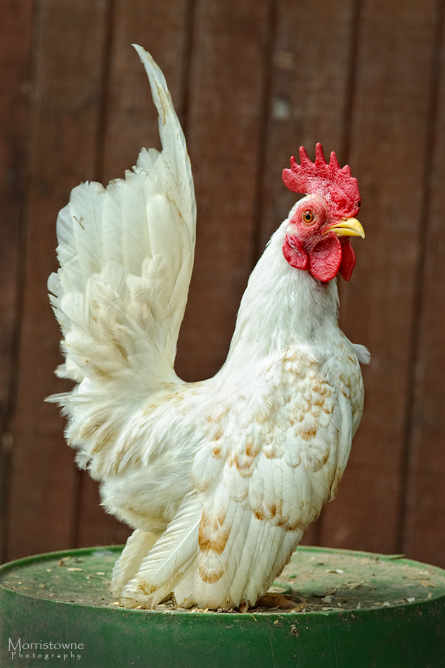
Malaysian Serama
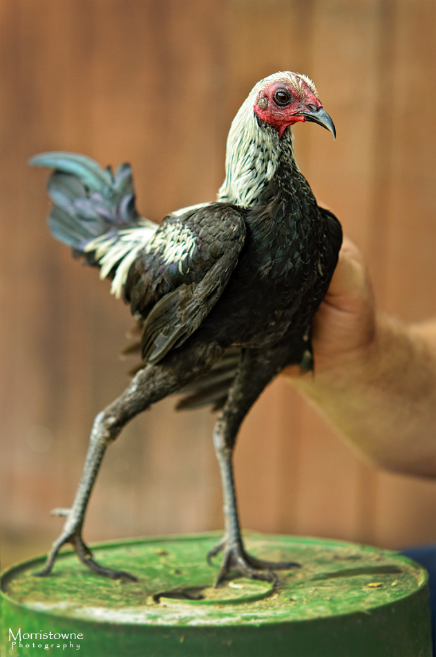
Modern Game Bantam
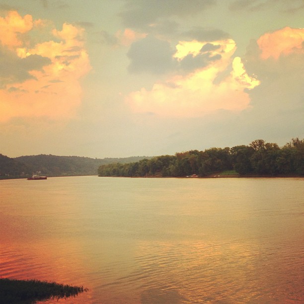
Pomeroy, OH 5
Colorful Time of Year
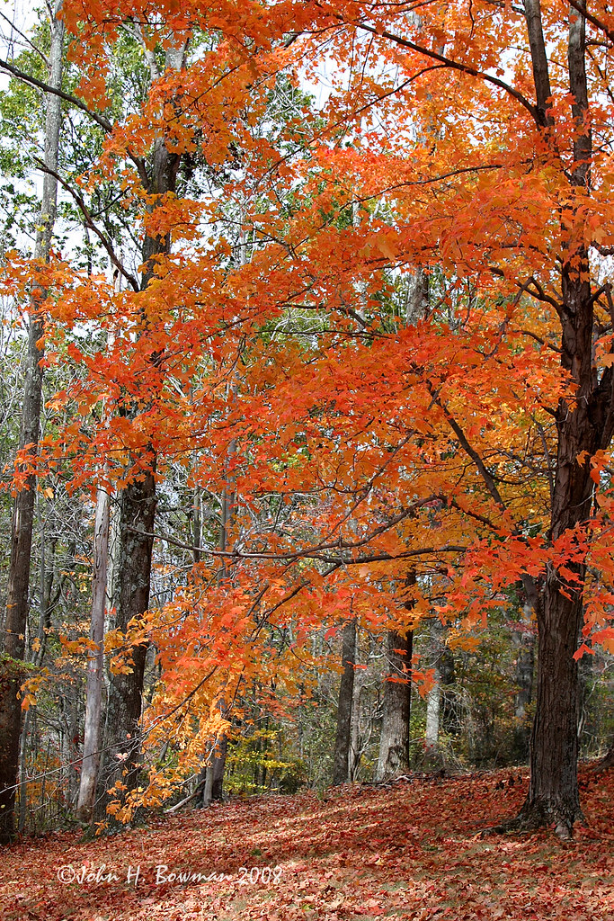
Halloween orange
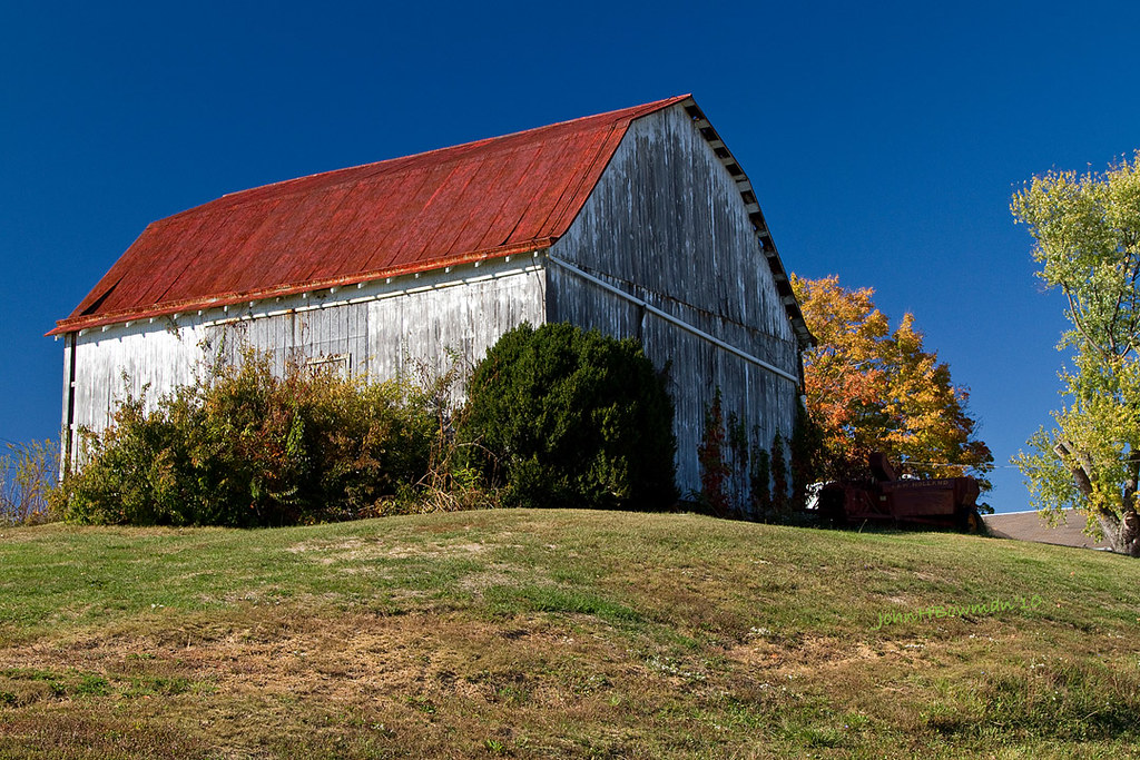
Hilltop Barn
View from the Sun Toward the Planets
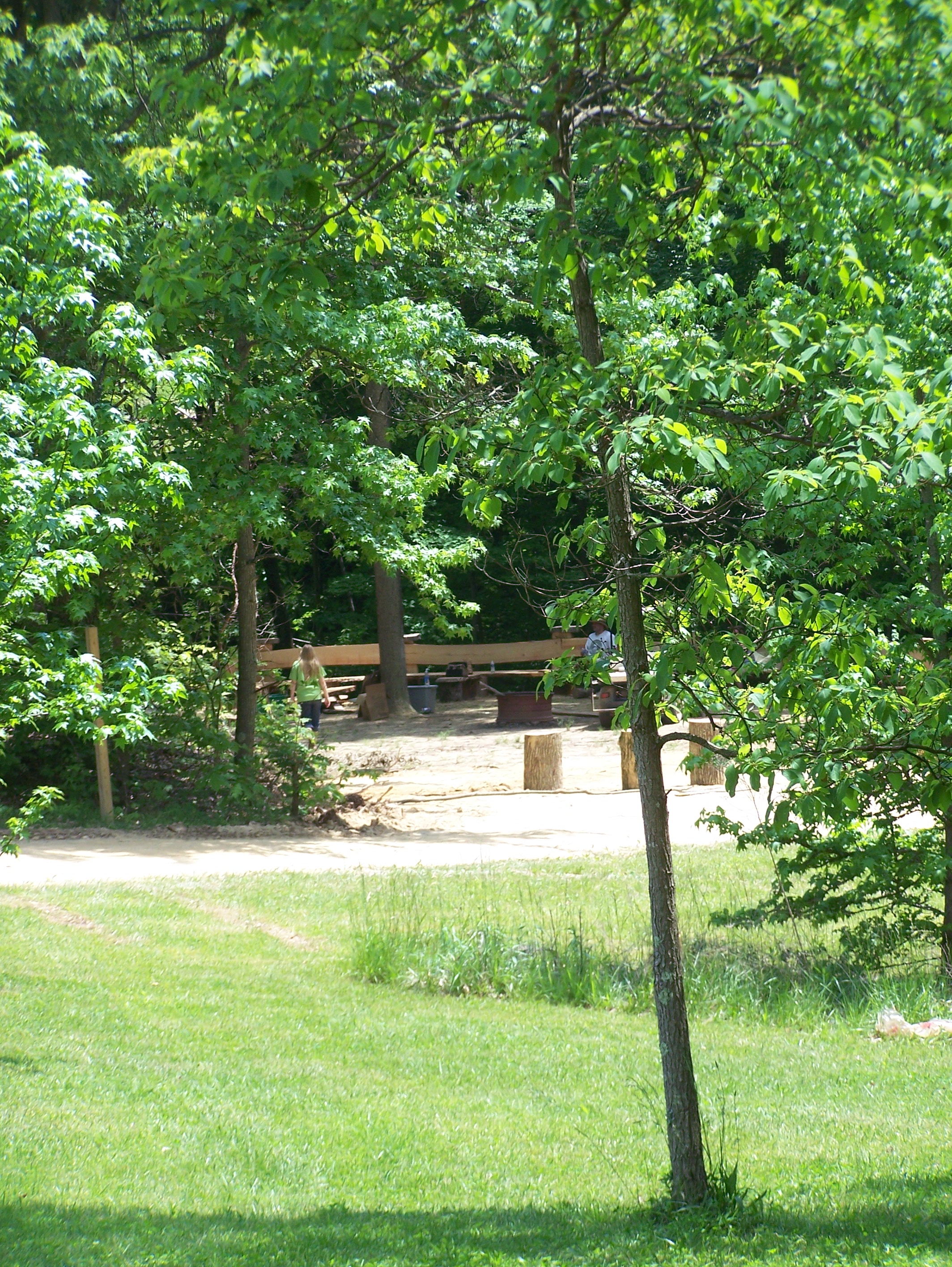
Campin'
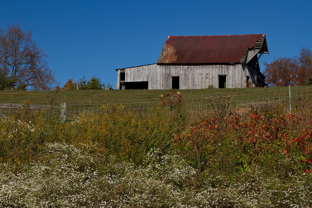
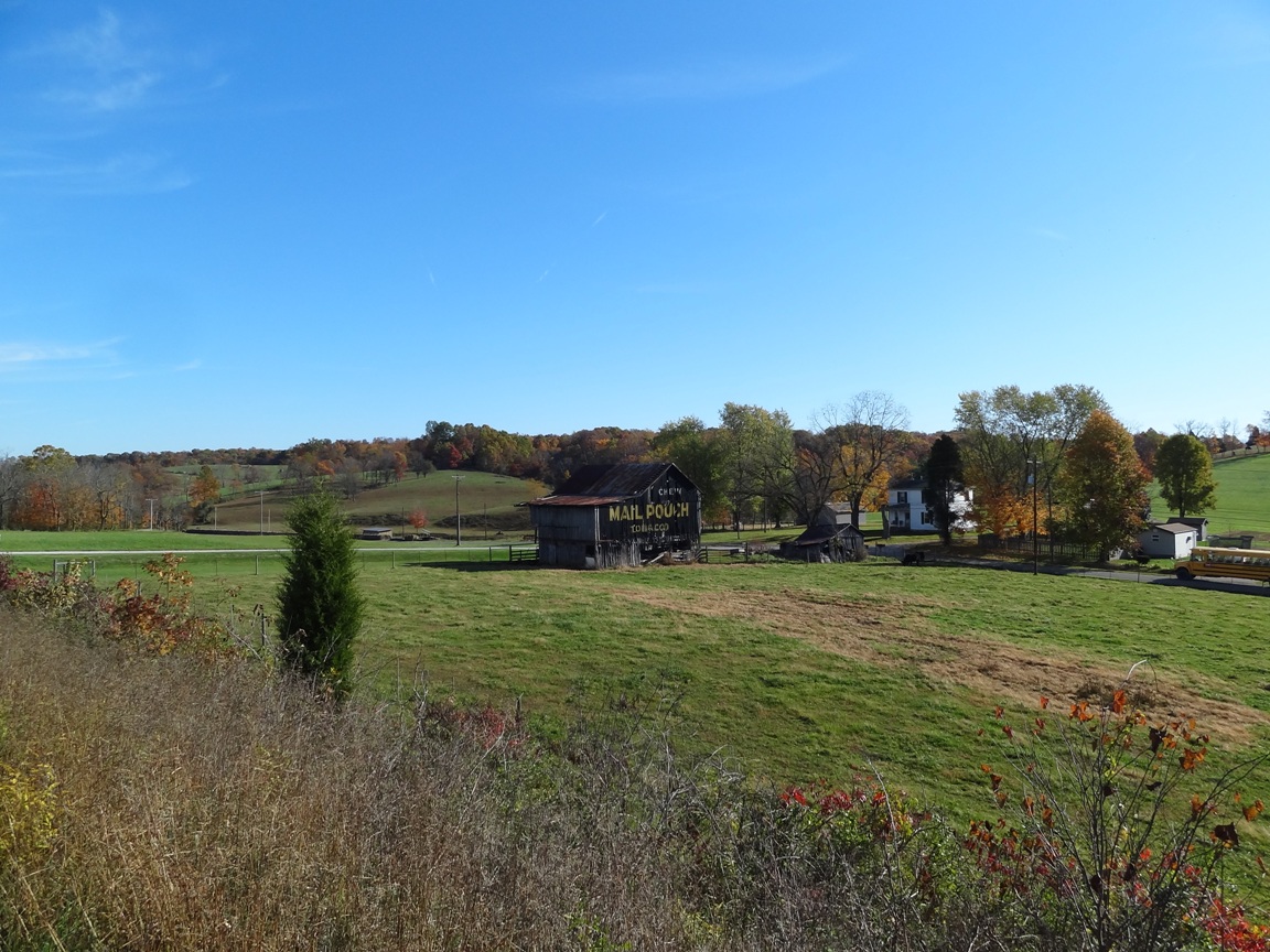
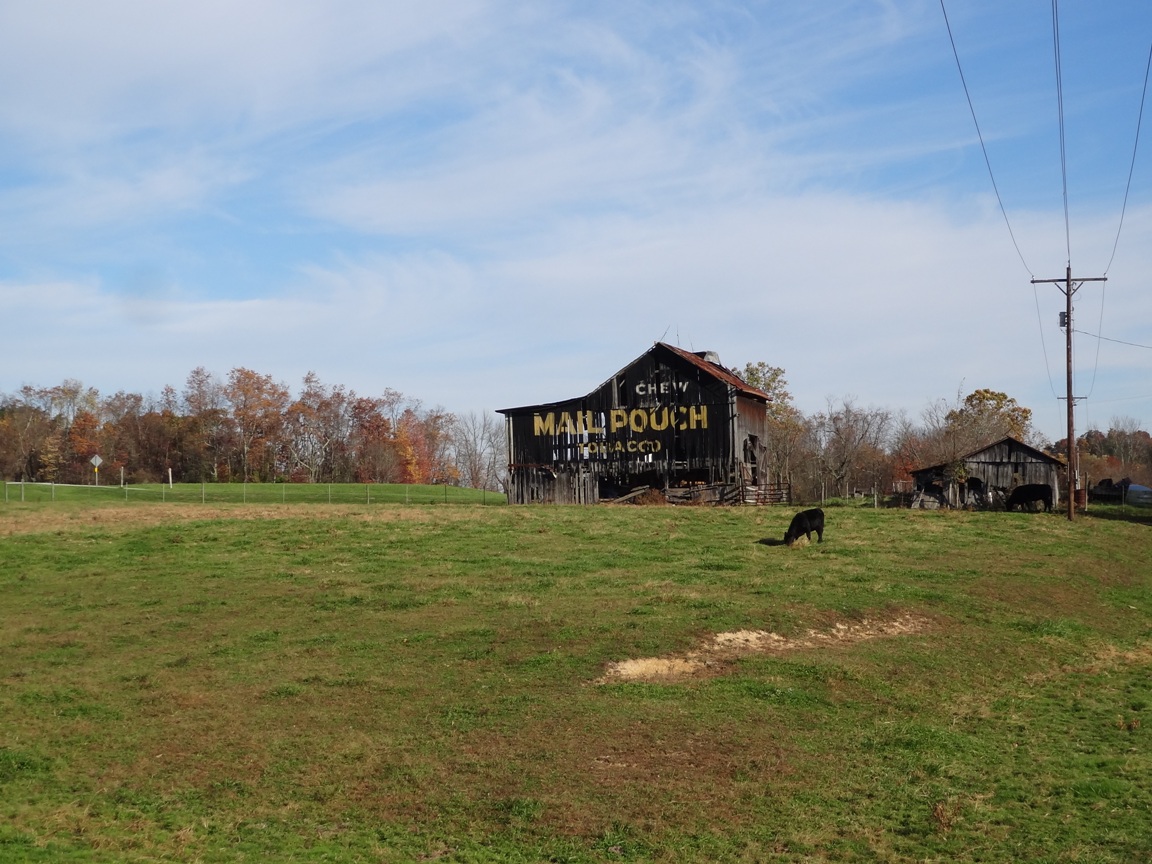
Weathered Ohio Barn
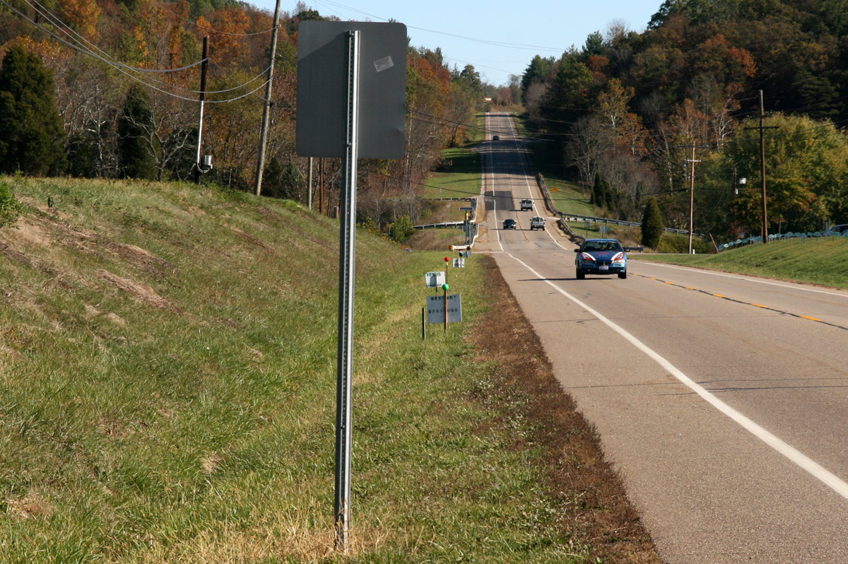
Views like this makes #exercise a little easier. #healthy #run #walk #justdoit
Green man

Tonight's #sunset
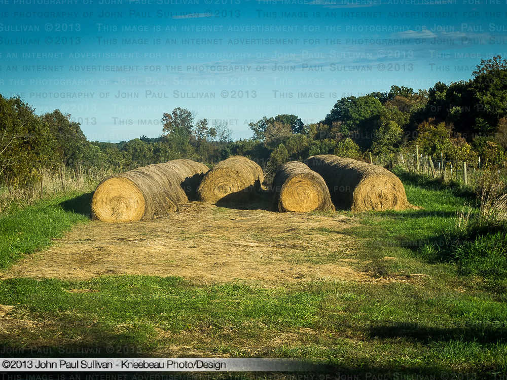
Rolled up Hay in the fall on Angel Ridge
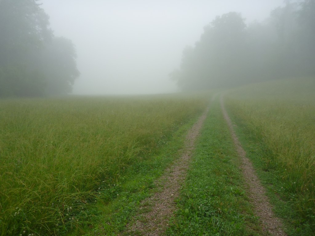
Foggy Field
Sitting here waiting for my oil to be changed and drinking my coffee...
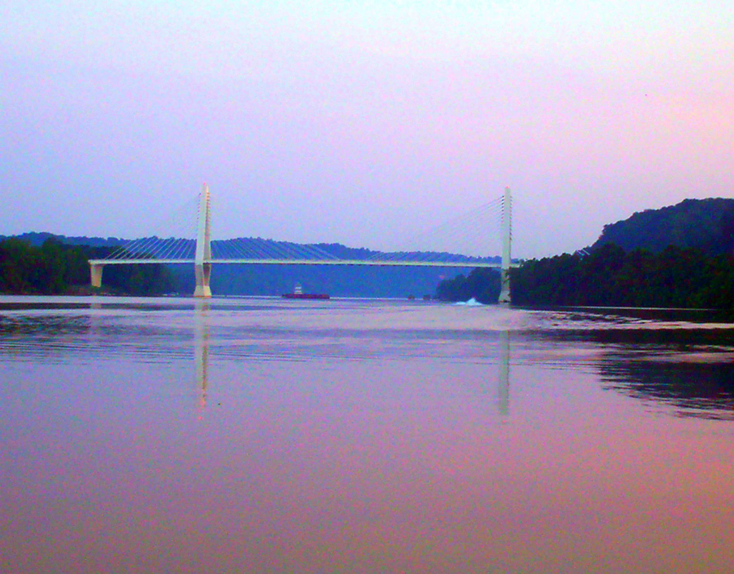
Pomeroy-Mason Bridge
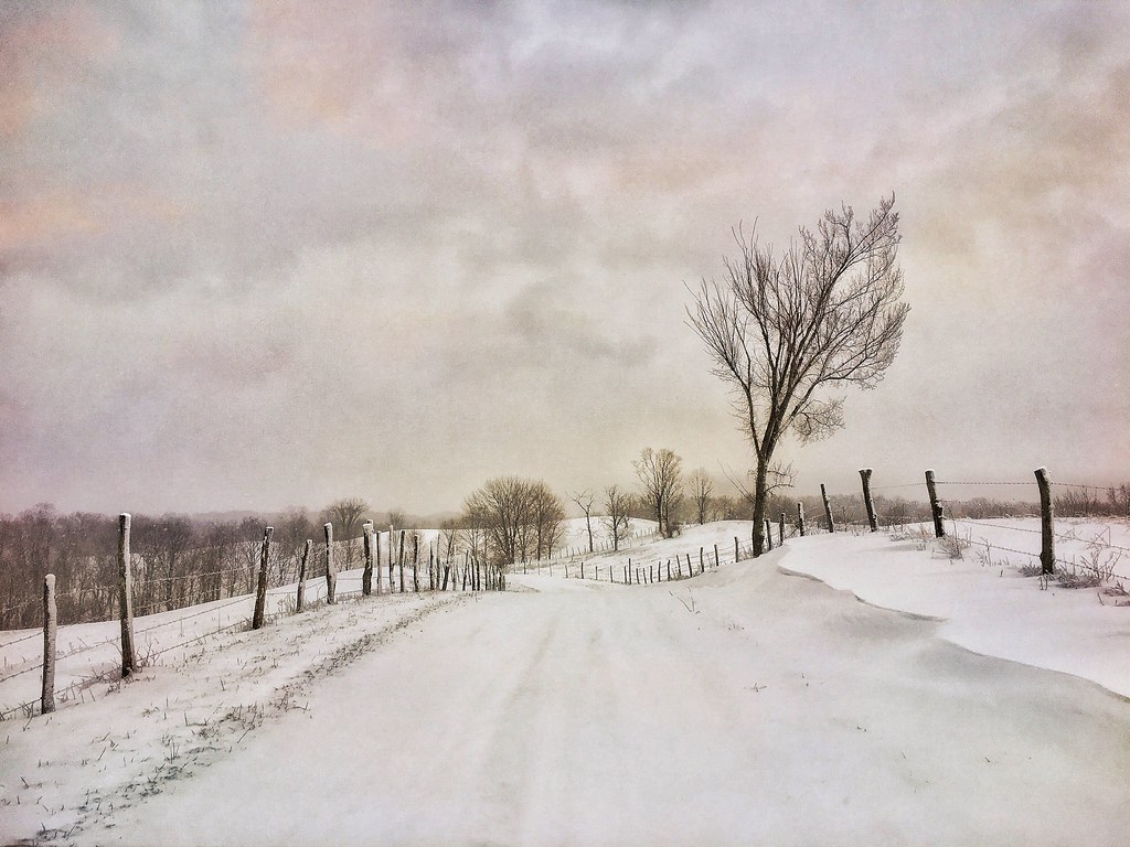
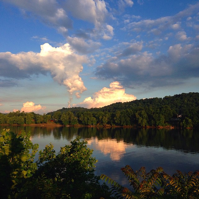
An Athens Ohio winter landscape
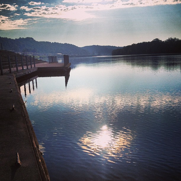
Daddy and I are having a cup of coffee and watching the river flow by.
Leading Creek Water Trail
Pond at #RacineDam #WV side. Scouting photo sites for a couple of projects I'm working on...
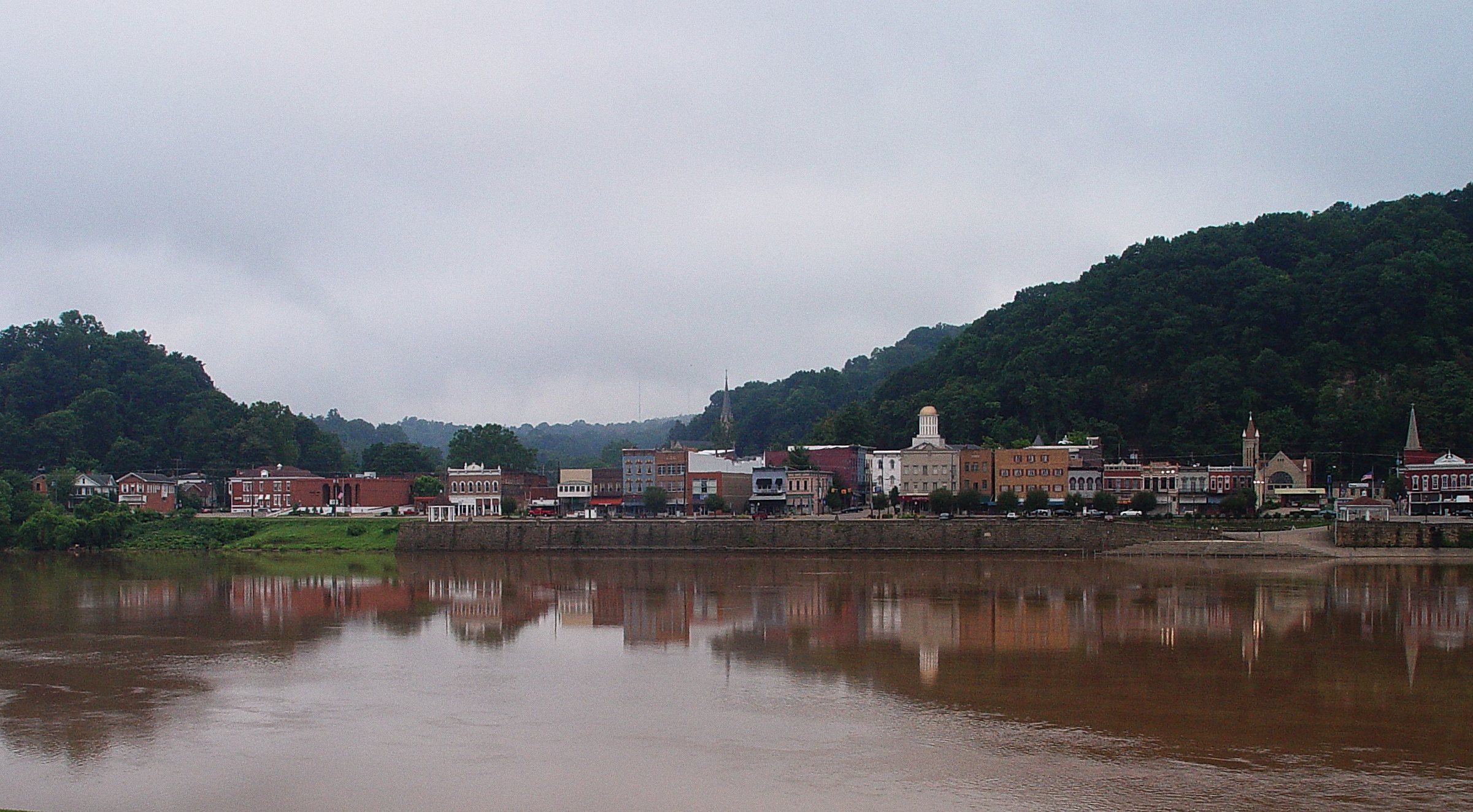
Pomeroy, Ohio
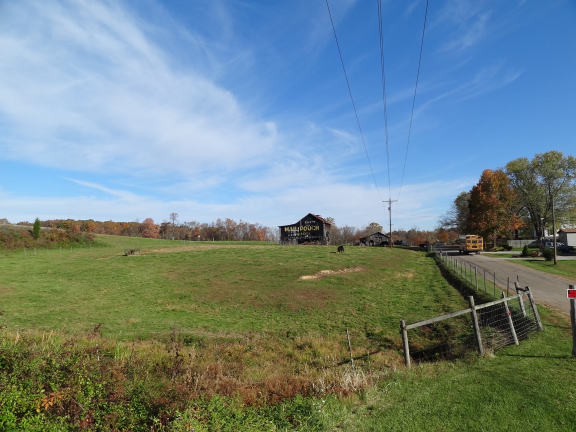
MPB 35-53-03, Meigs County, Ohio
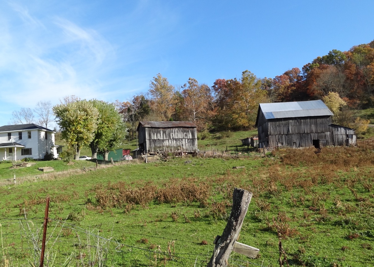
MPB 35-53-02, Meigs County, Ohio
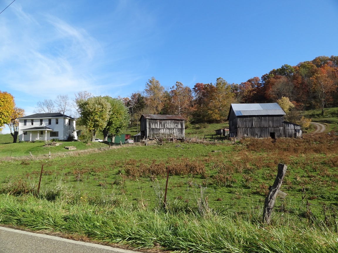
MPB 35-53-02, Meigs County, Ohio
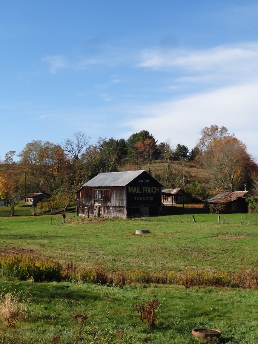
MPB 35-53-01, Meigs County, Ohio
MPB 35-53-03, Meigs County, Ohio
Aunt Velma's backyard
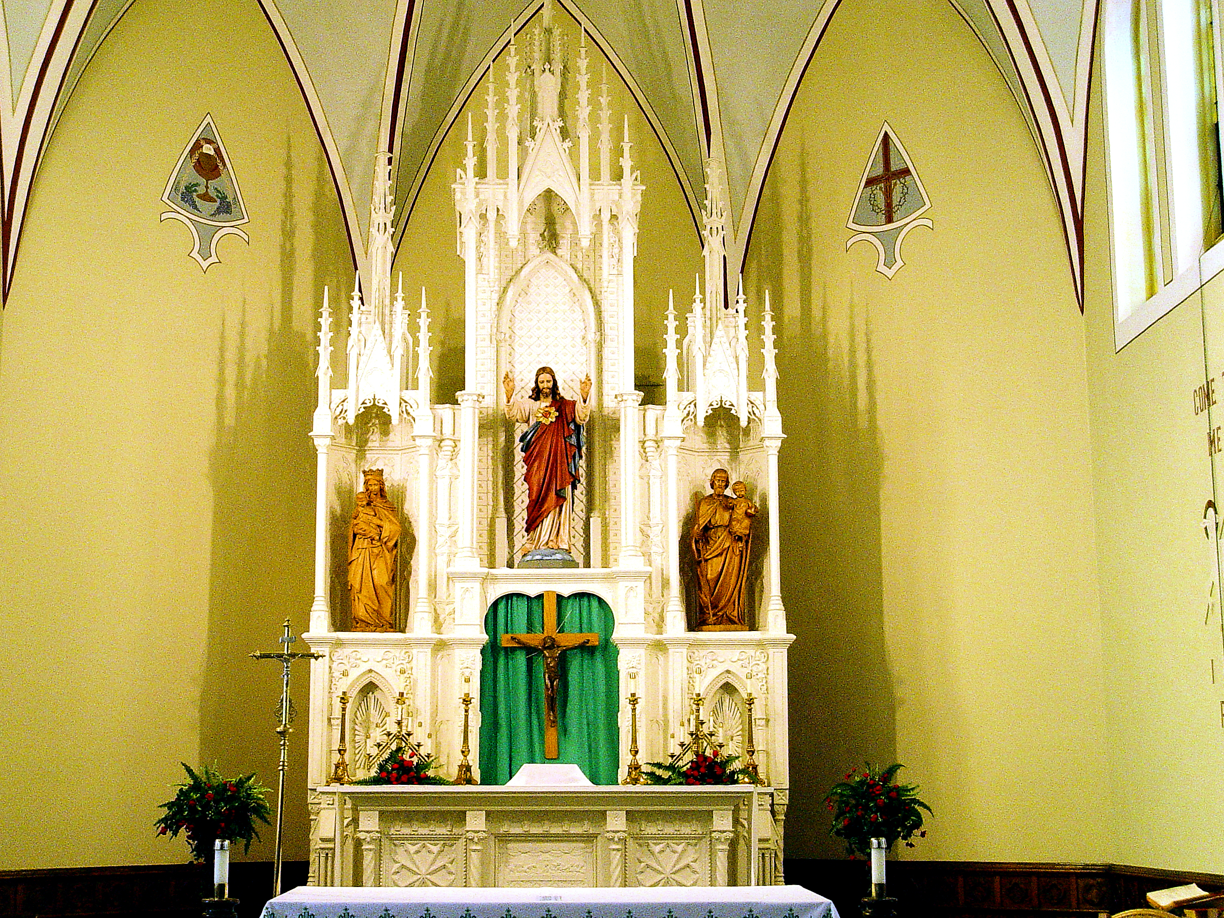
Sacred Heart Catholic Church - Pomeroy, Ohio
MPB 35-53-03, Meigs County, Ohio
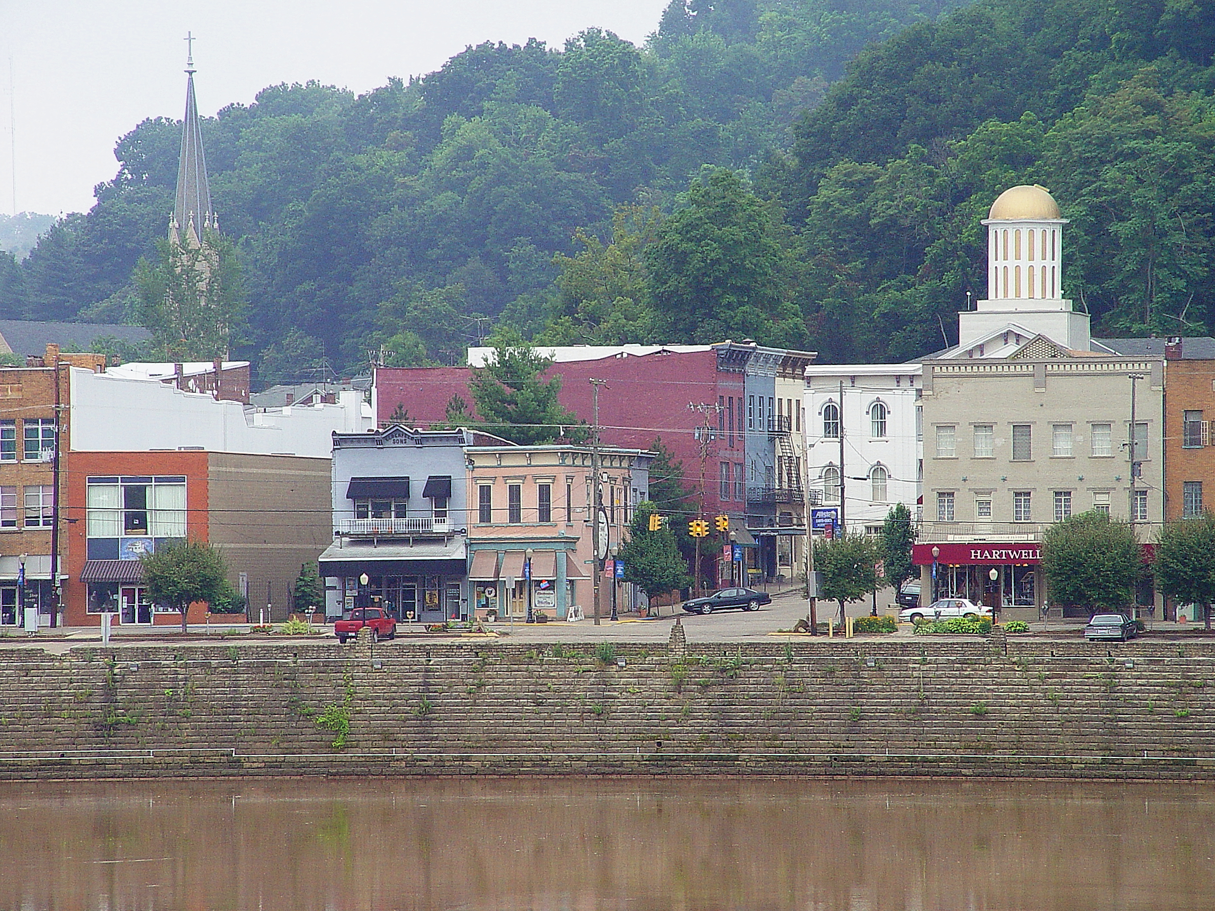
Pomeroy, Ohio 3
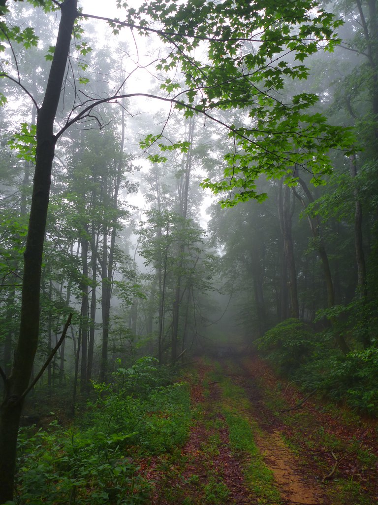
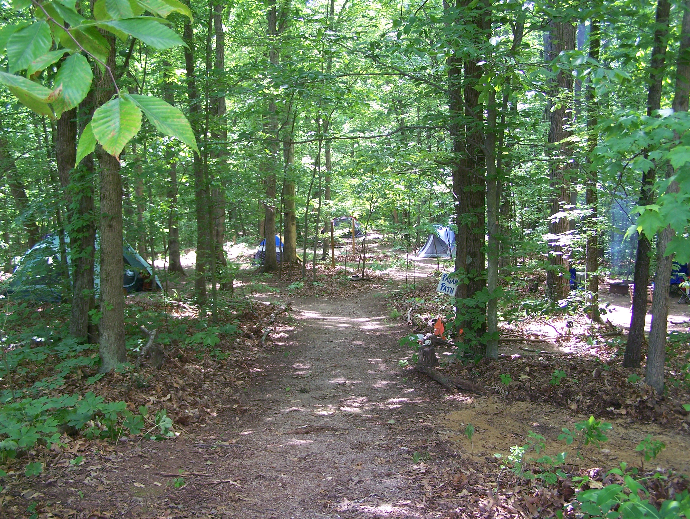
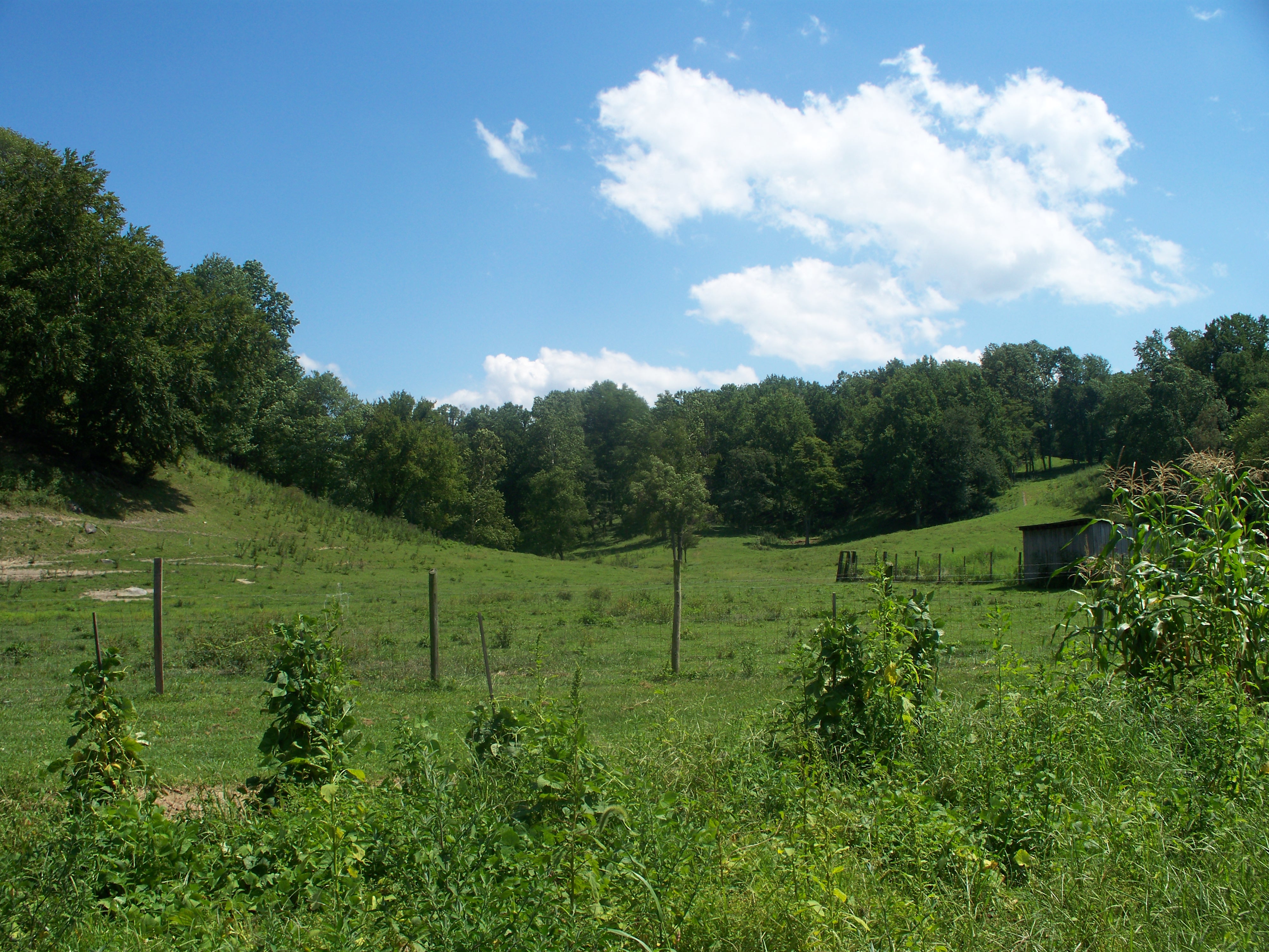
Forest Path
Topographic Map of Darwin, Bedford Township, OH, USA
Find elevation by address:

Places near Darwin, Bedford Township, OH, USA:
Bedford Township
40221 Township Hwy 130
Gold Ridge Road
Meigs County
37012 Wolfpen Rd
34741 Rocksprings Rd
Salisbury Township
35190 Flatwoods Rd
Flatwoods
OH-, Pomeroy, OH, USA
East Main Street
203 Butternut Ave
205 Butternut Ave
207 Butternut Ave
306 Wetzgall St
Pomeroy
20 Butternut Ave
New Lima Rd, Rutland, OH, USA
Rutland Township
Rutland
Recent Searches:
- Elevation of Woodland Oak Pl, Thousand Oaks, CA, USA
- Elevation of Brownsdale Rd, Renfrew, PA, USA
- Elevation of Corcoran Ln, Suffolk, VA, USA
- Elevation of Mamala II, Sariaya, Quezon, Philippines
- Elevation of Sarangdanda, Nepal
- Elevation of 7 Waterfall Way, Tomball, TX, USA
- Elevation of SW 57th Ave, Portland, OR, USA
- Elevation of Crocker Dr, Vacaville, CA, USA
- Elevation of Pu Ngaol Community Meeting Hall, HWHM+3X7, Krong Saen Monourom, Cambodia
- Elevation of Royal Ontario Museum, Queens Park, Toronto, ON M5S 2C6, Canada