Elevation of Collins, IA, USA
Location: United States > Iowa > Story County > Collins >
Longitude: -93.306317
Latitude: 41.9027657
Elevation: 305m / 1001feet
Barometric Pressure: 98KPa
Elevation Map:
Satellite Map:
Related Photos:
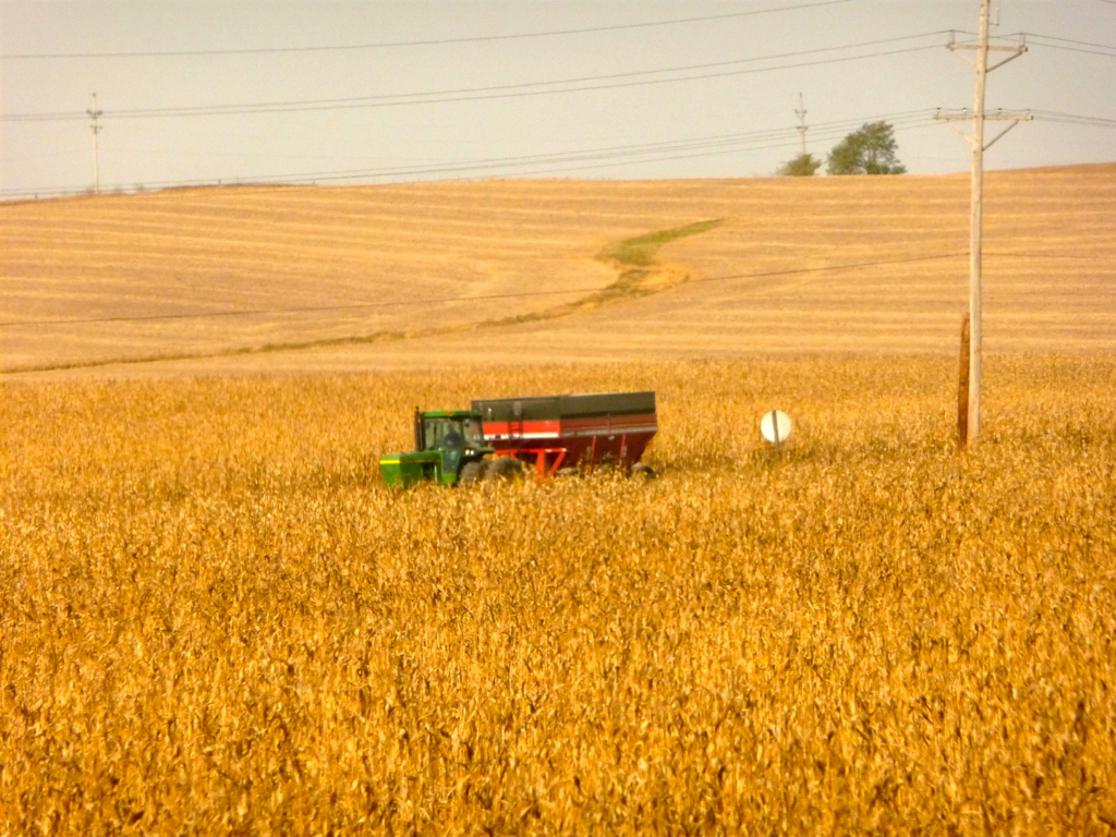
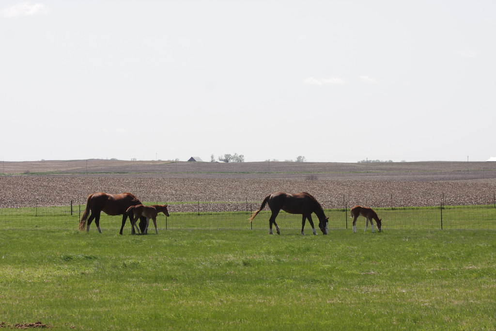
Iowa: Corn Harvest Time
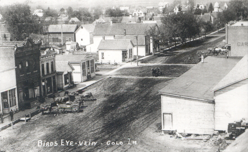
Colo, Iowa, Aerial View

The L&J Station in monochrome (2 of 3)
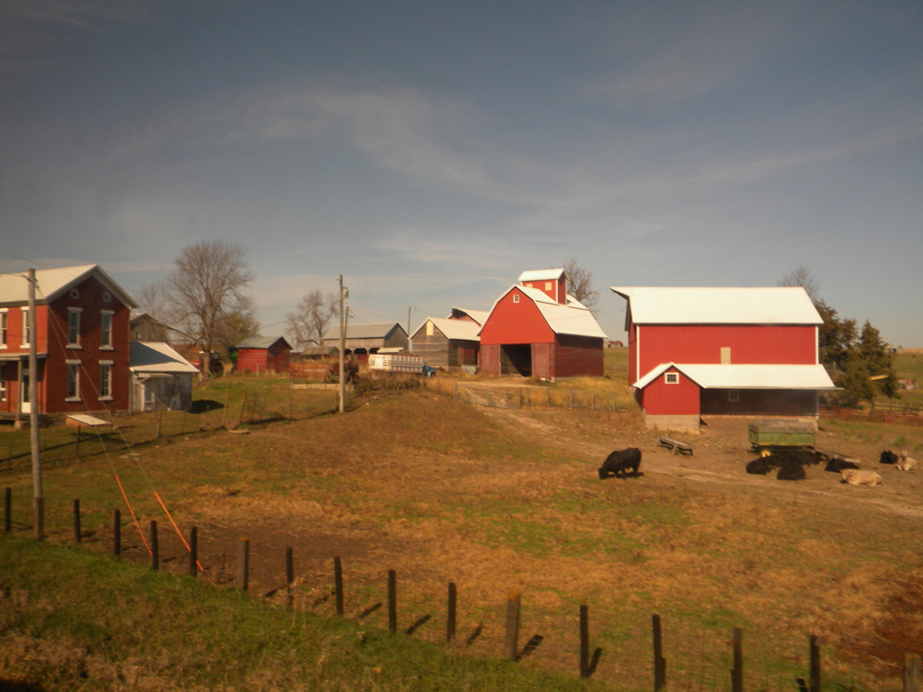
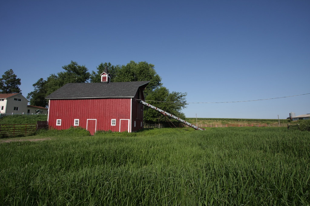
Iowa: Homestead
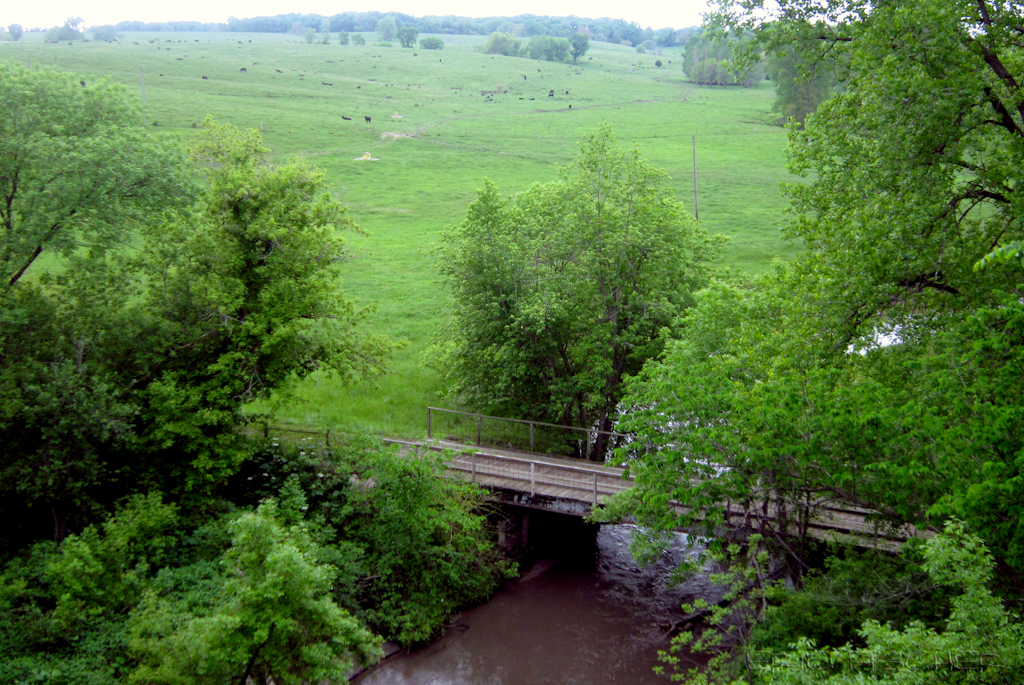
view from Hoy Bridge
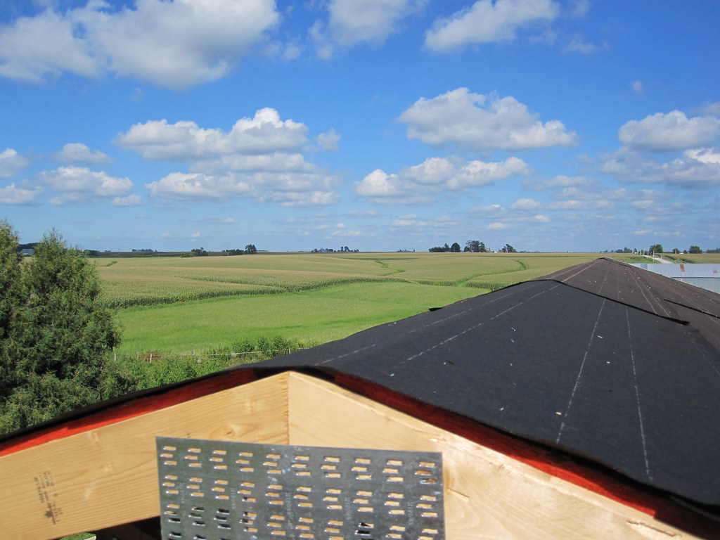
MD 181 (2010-Aug-14): View From the Top
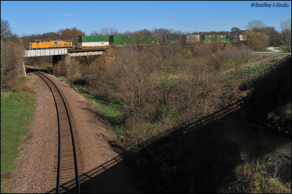
UP 6716 - Devils Hollow - Nevada IA
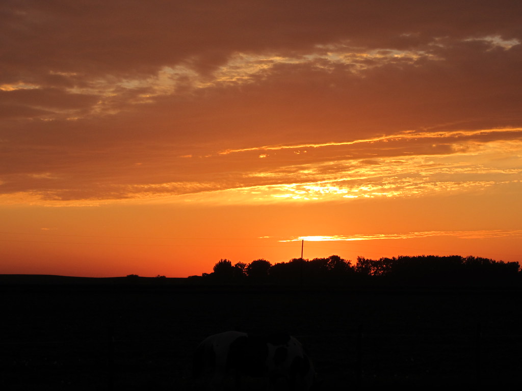
Iowa Sunset
IMG_19028.JPG
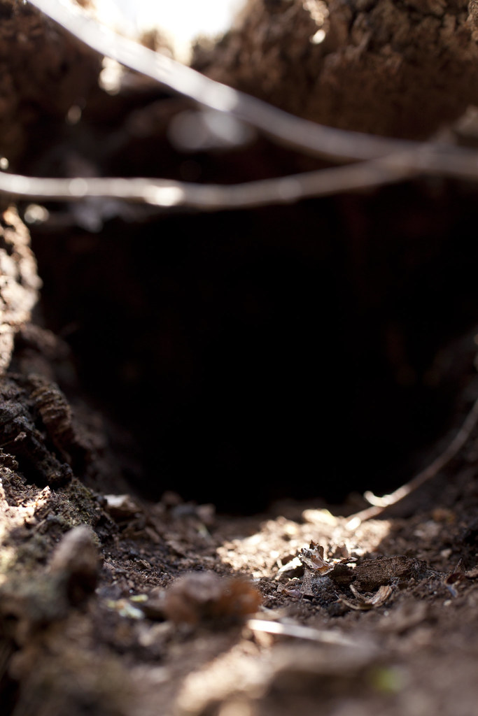
the cave
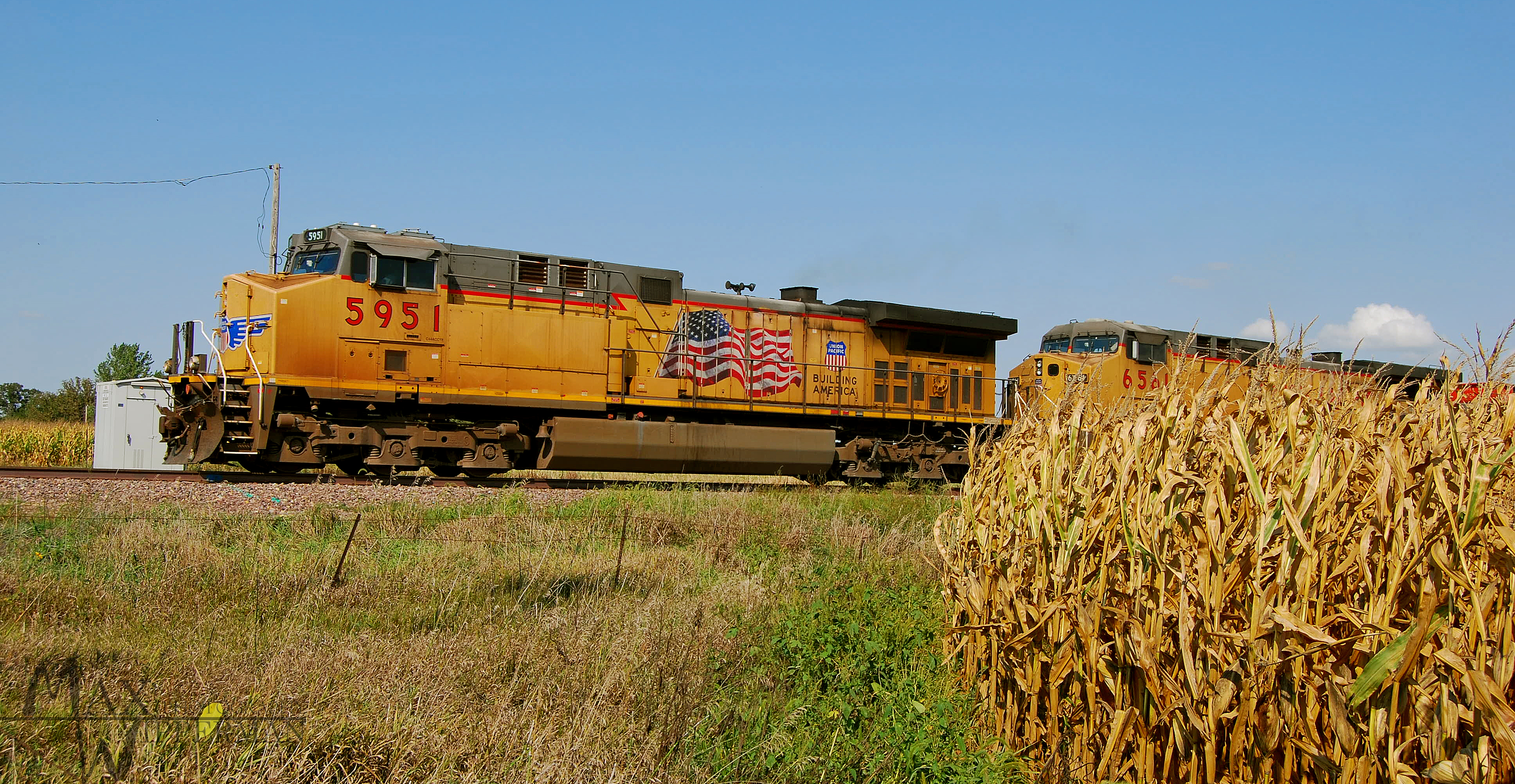
UP 4987
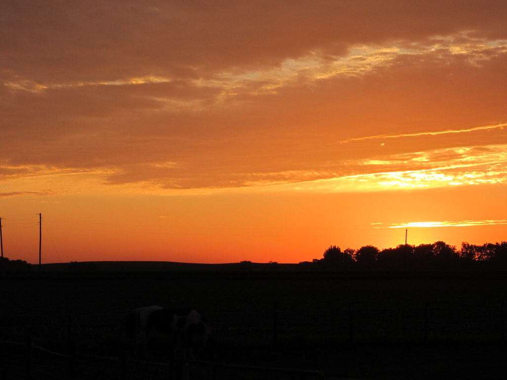
Iowa Sunset

IMG_03224.JPG
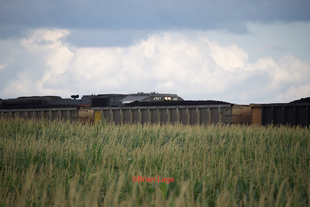
Coal and Corn

Ashton Wildwood Praire

September 7 2012
IMG_03223.JPG
IMG_19013.JPG
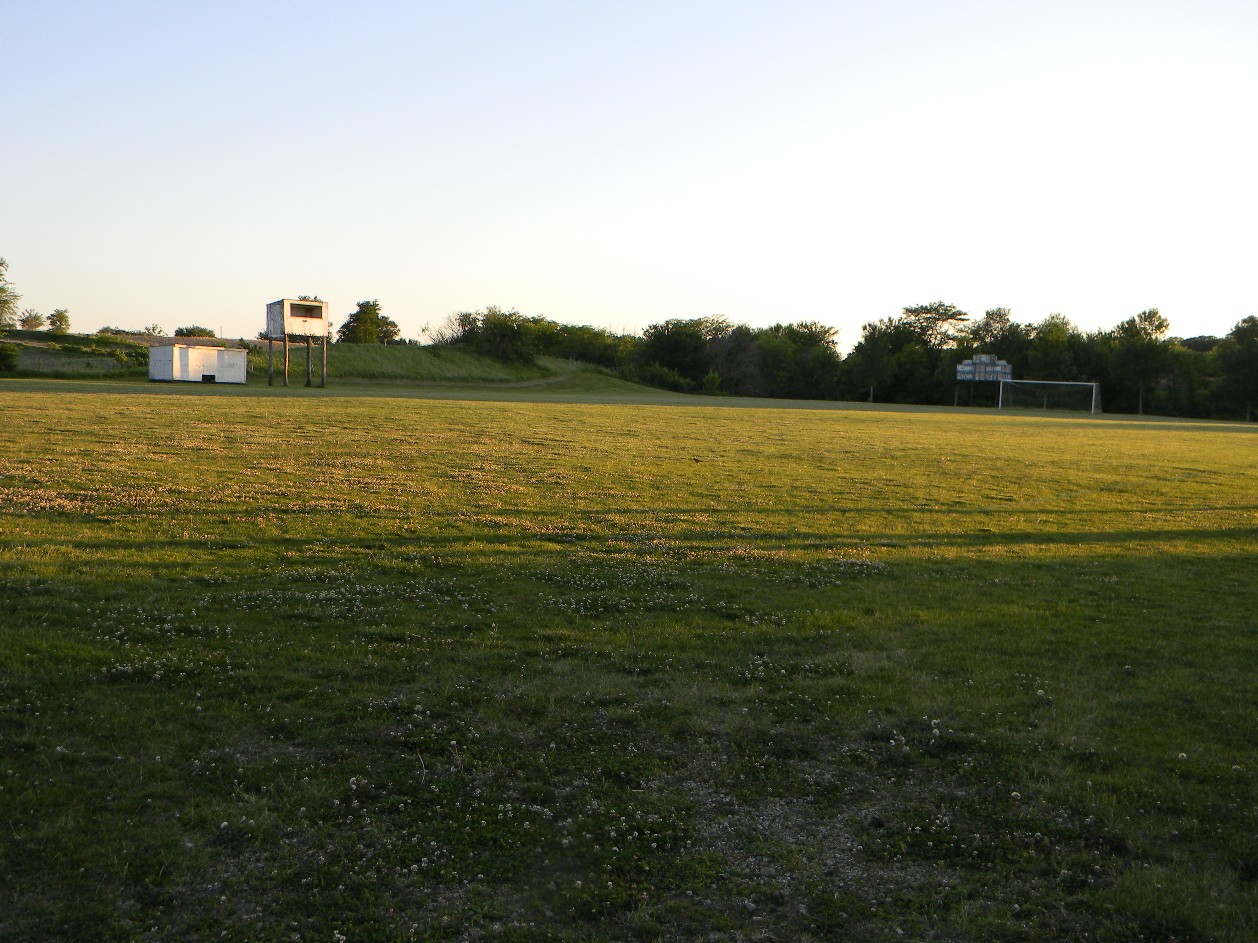
Abandoned High School Football Field, Mingo, Iowa
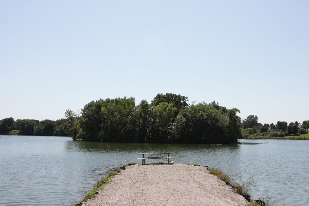
Jetty on Hickory Grove Lake
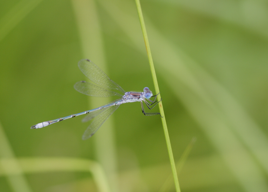
unidentified spreadwing (Lestes sp.)

Nevada, far from Vegas

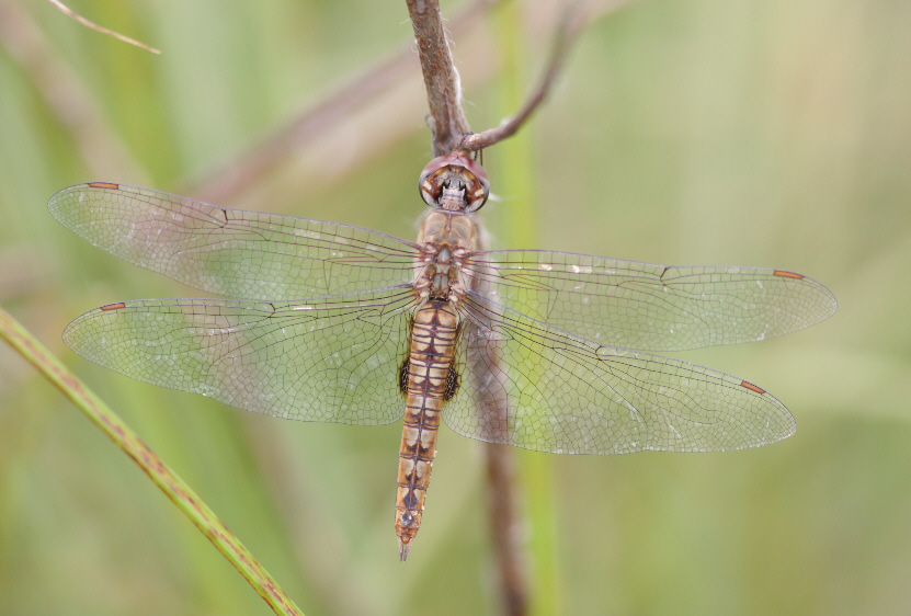
Dot-tailed Whiteface (Leucorrhinia intacta)

Ashton Cemetery
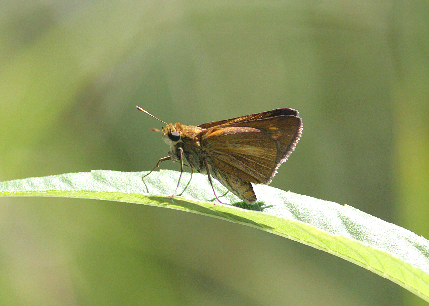
Dion Skipper (Euphyes dion)
Spot-winged Glider (Pantala hymenaea)
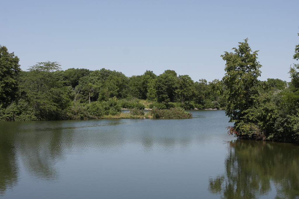
Hickory Grove Lake
Topographic Map of Collins, IA, USA
Find elevation by address:

Places in Collins, IA, USA:
Places near Collins, IA, USA:
3rd St, Collins, IA, USA
Collins
N rd Ave W, Collins, IA, USA
New Albany
Clear Creek
Co Rd S27, Maxwell, IA, USA
Maxwell
Indian Creek
Colo
4th St, Colo, IA, USA
NE th Ave, Maxwell, IA, USA
101 Collins St
th Ave, Maxwell, IA, USA
Washington
Station St, Mingo, IA, USA
Mingo
Nevada
15975 Ne 80th St
State Center
Poweshiek
Recent Searches:
- Elevation of Tenjo, Cundinamarca, Colombia
- Elevation of Côte-des-Neiges, Montreal, QC H4A 3J6, Canada
- Elevation of Bobcat Dr, Helena, MT, USA
- Elevation of Zu den Ihlowbergen, Althüttendorf, Germany
- Elevation of Badaber, Peshawar, Khyber Pakhtunkhwa, Pakistan
- Elevation of SE Heron Loop, Lincoln City, OR, USA
- Elevation of Slanický ostrov, 01 Námestovo, Slovakia
- Elevation of Spaceport America, Co Rd A, Truth or Consequences, NM, USA
- Elevation of Warwick, RI, USA
- Elevation of Fern Rd, Whitmore, CA, USA