Elevation of Co Rd S27, Maxwell, IA, USA
Location: United States > Iowa > Story County > Indian Creek > Maxwell >
Longitude: -93.399393
Latitude: 41.8919164
Elevation: 270m / 886feet
Barometric Pressure: 98KPa
Elevation Map:
Satellite Map:
Related Photos:
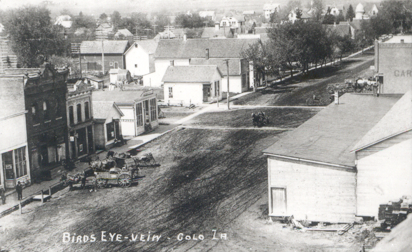
Colo, Iowa, Aerial View
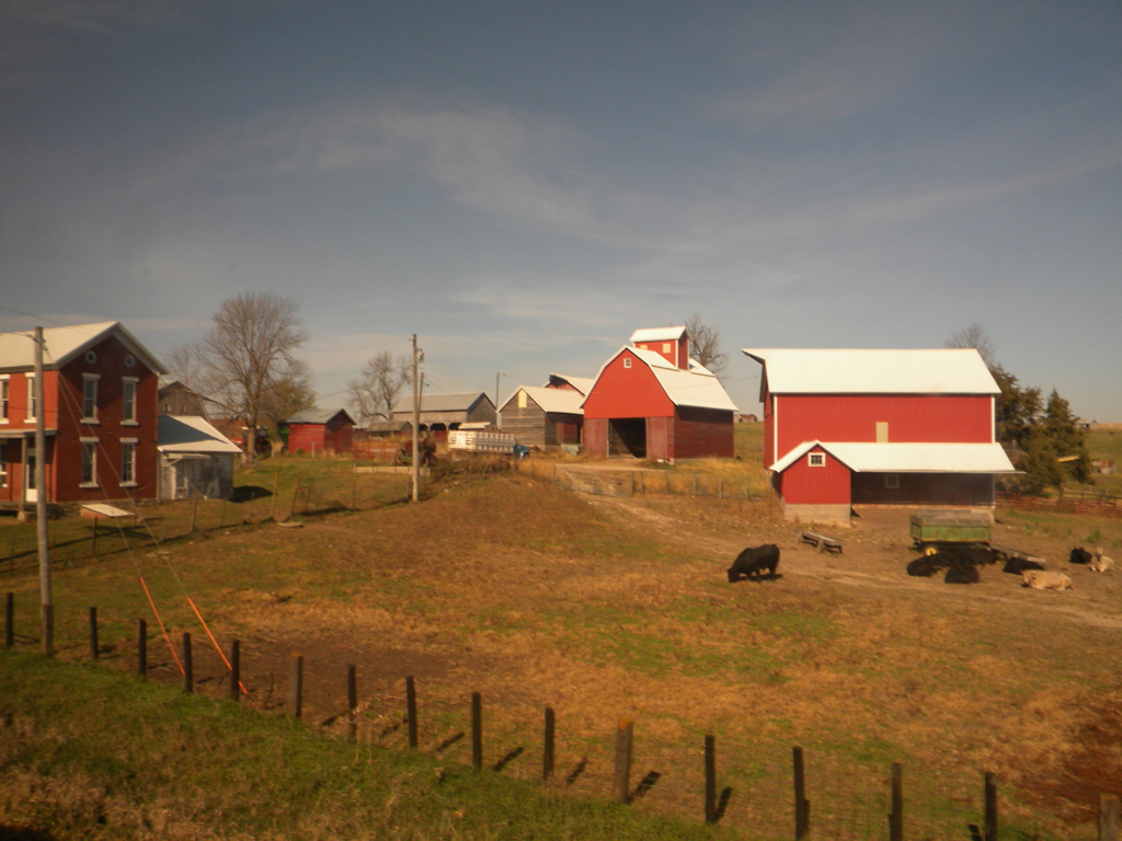
Iowa: Homestead
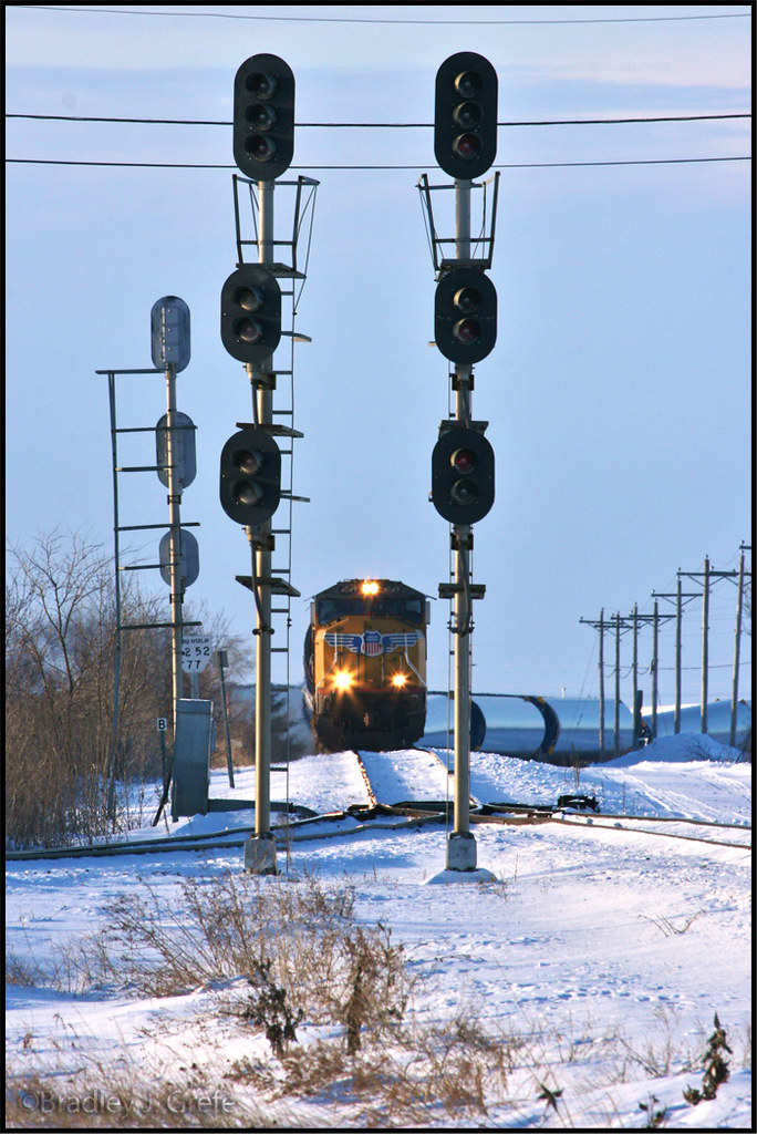
UP 4049 - Nevada IA
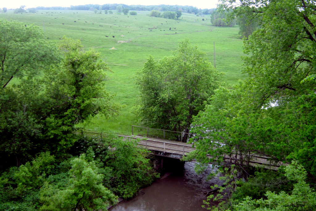
view from Hoy Bridge
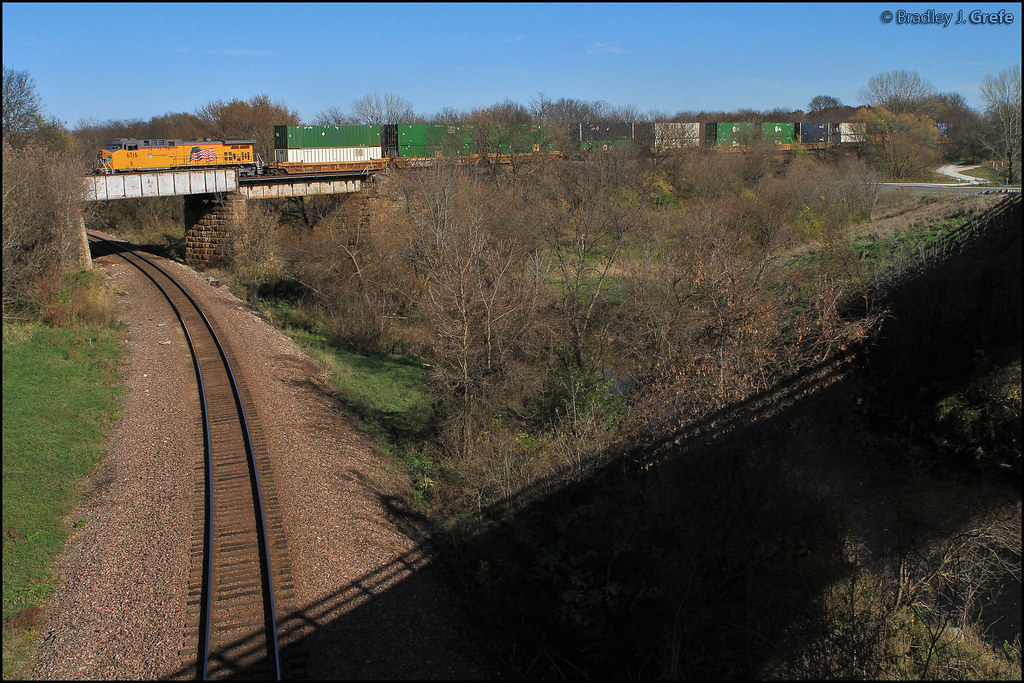
UP 6716 - Devils Hollow - Nevada IA
New Year's Eve in Iowa
the cave
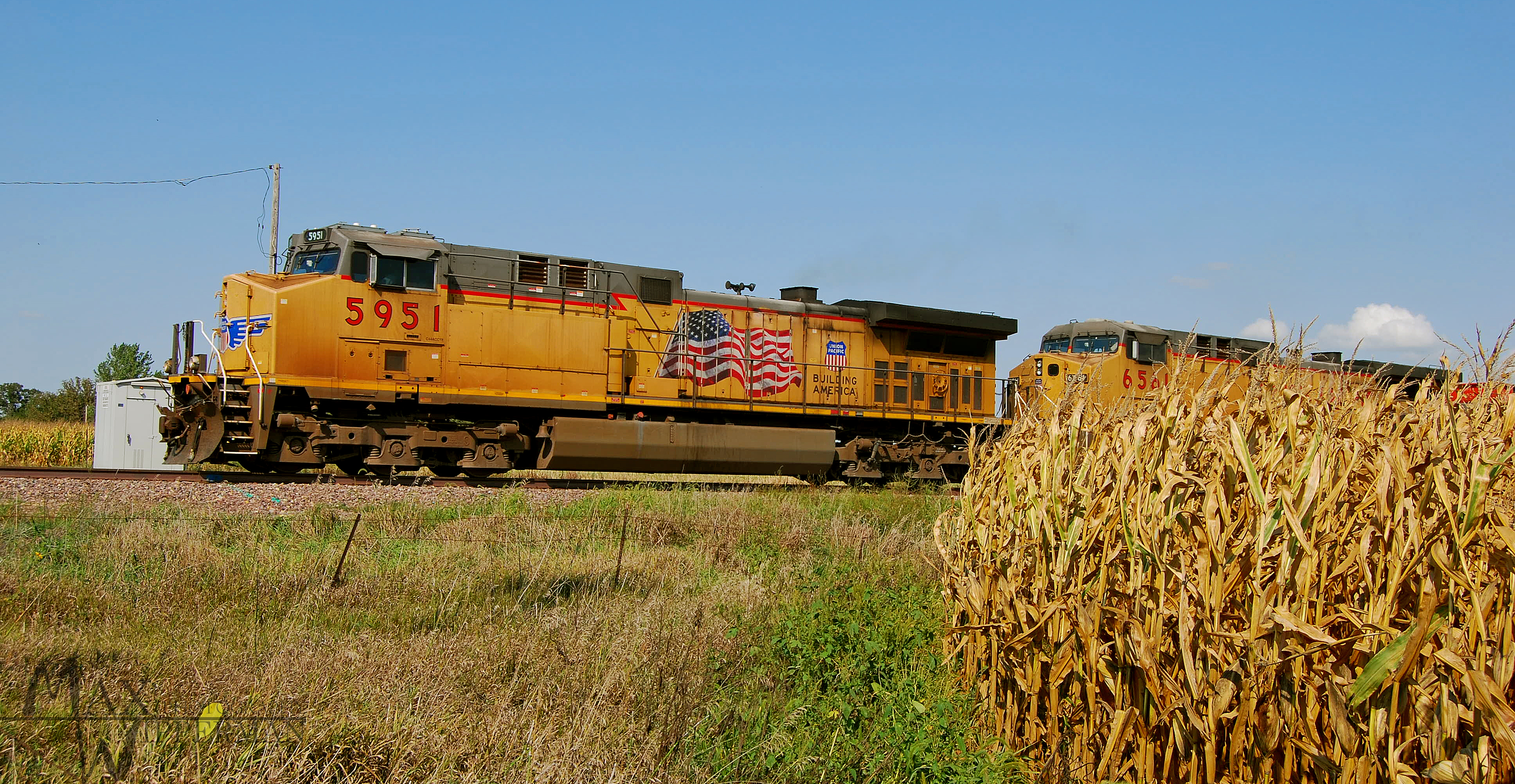
Coal and Corn

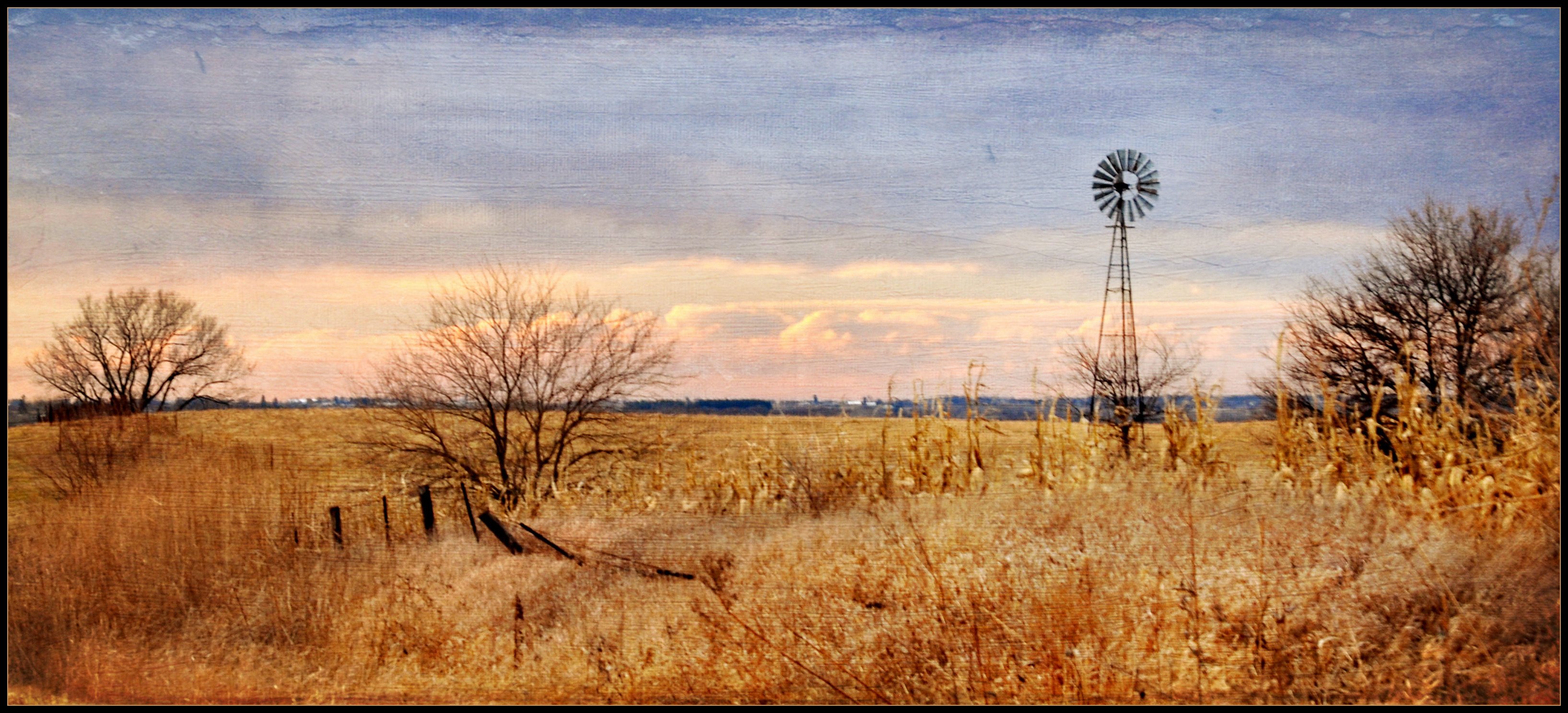
Ashton Wildwood Praire

September 7 2012
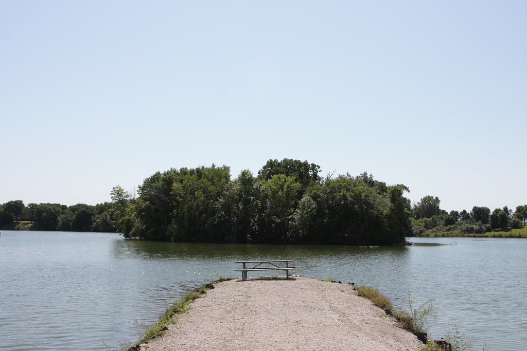
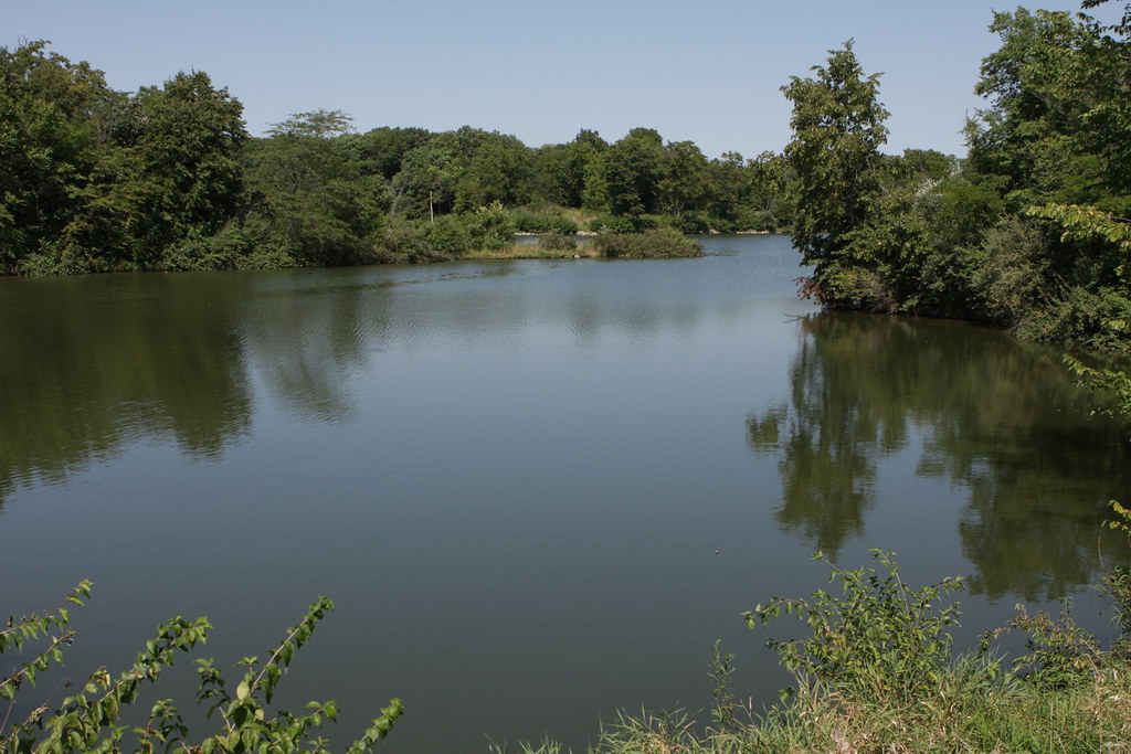
Jetty on Hickory Grove Lake
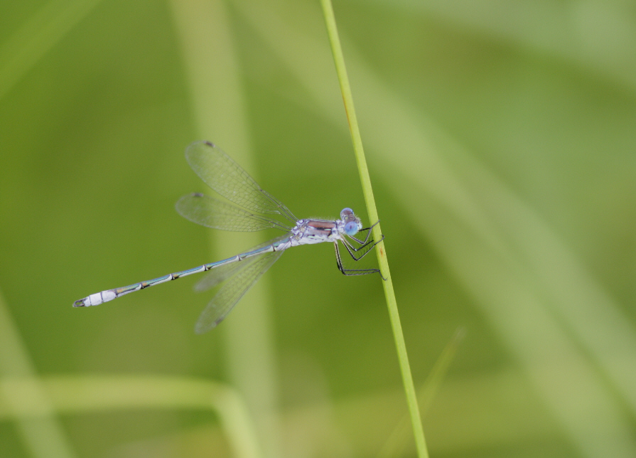
unidentified spreadwing (Lestes sp.)

Nevada, far from Vegas

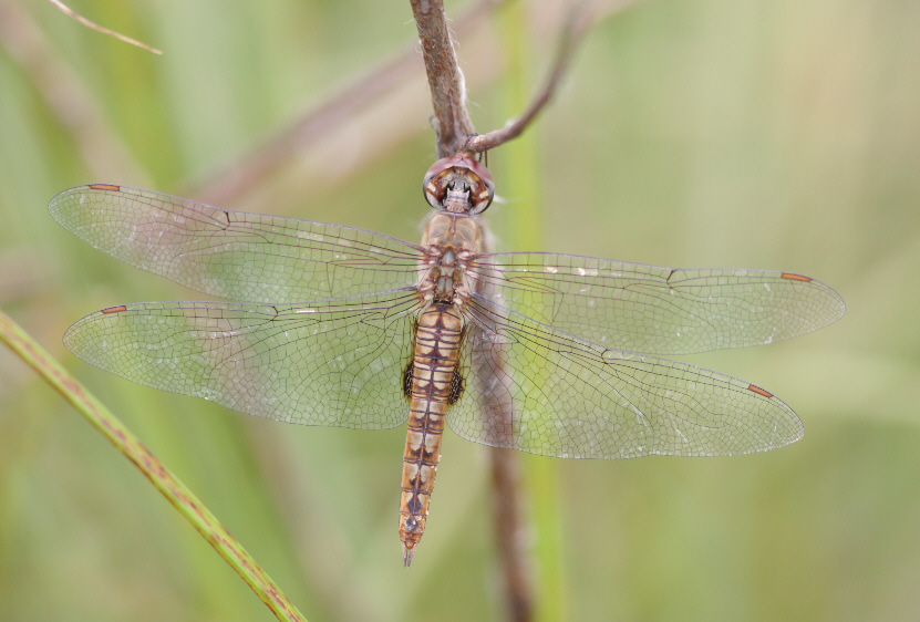
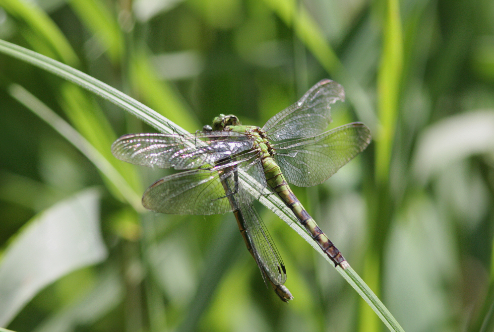
Dot-tailed Whiteface (Leucorrhinia intacta)
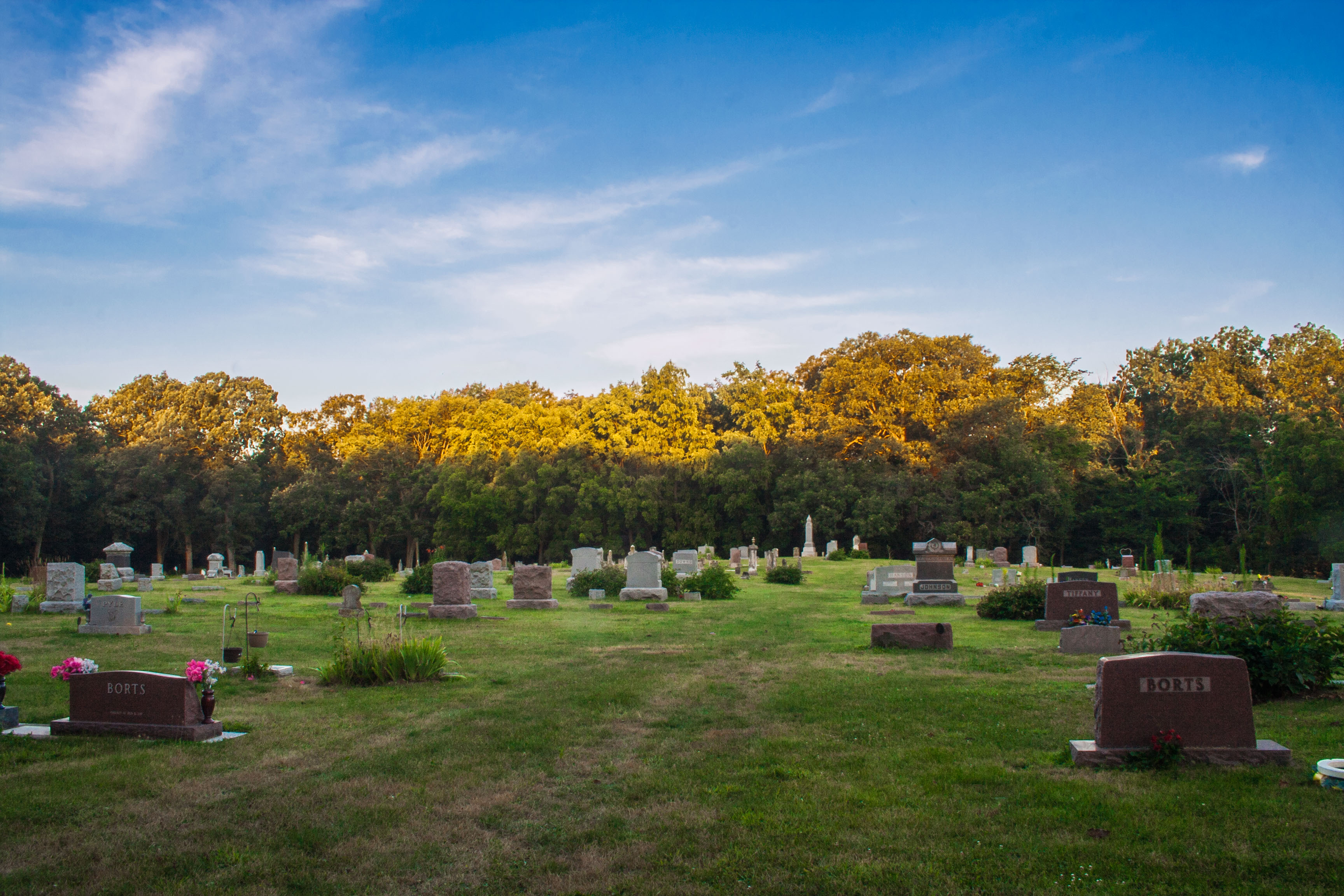
Ashton Cemetery
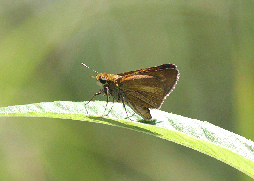
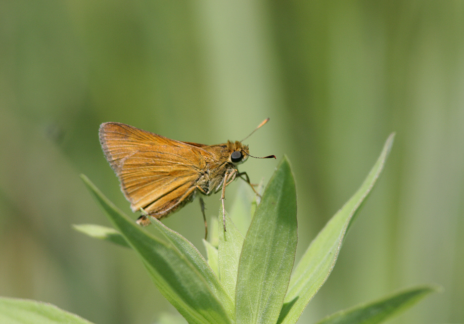
Dion Skipper (Euphyes dion)
Spot-winged Glider (Pantala hymenaea)
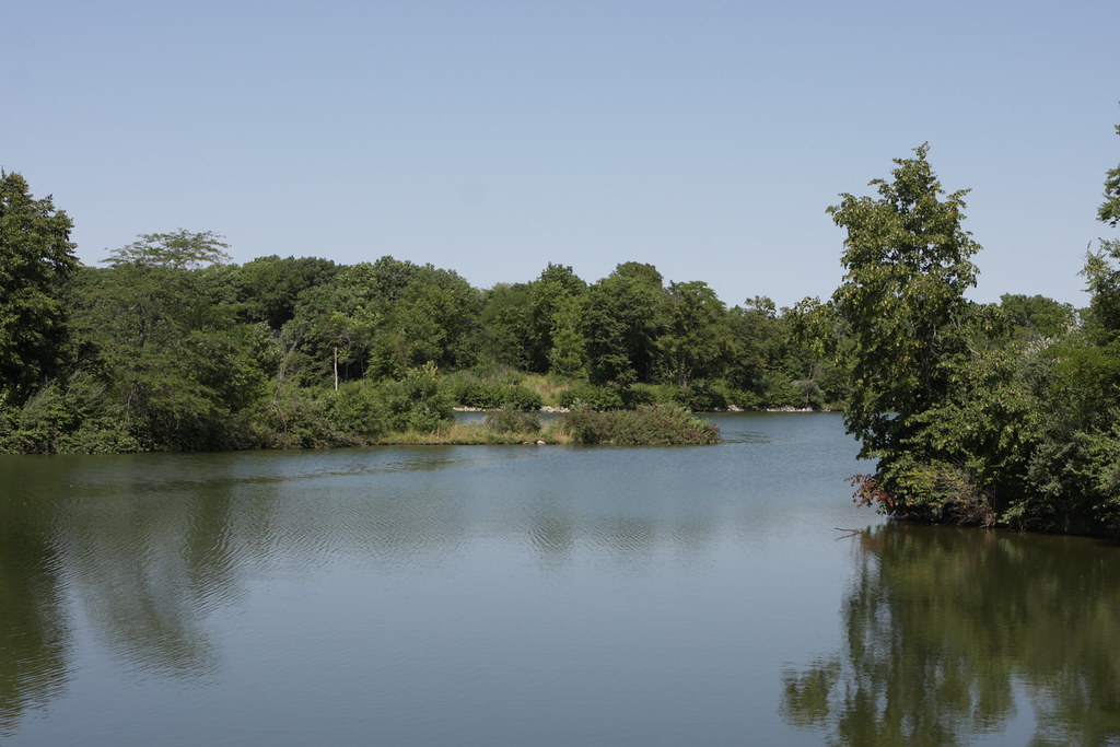
Hickory Grove Lake
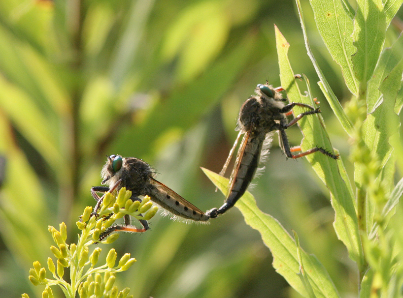
Promachus vertebratus
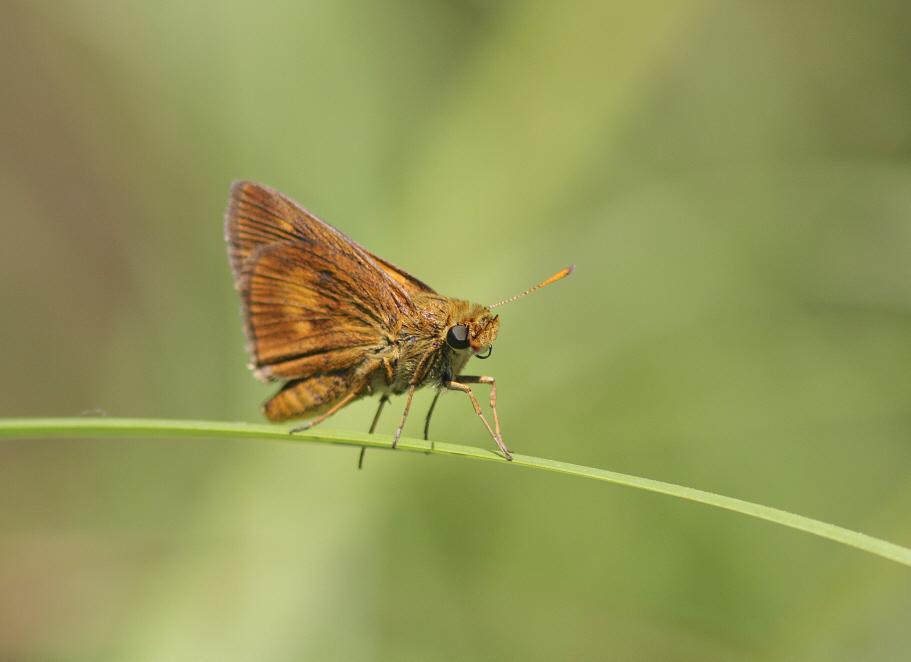
Black Dash (Euphyes conspicua)
Eastern Pondhawk (Erythemis simplicicollis)
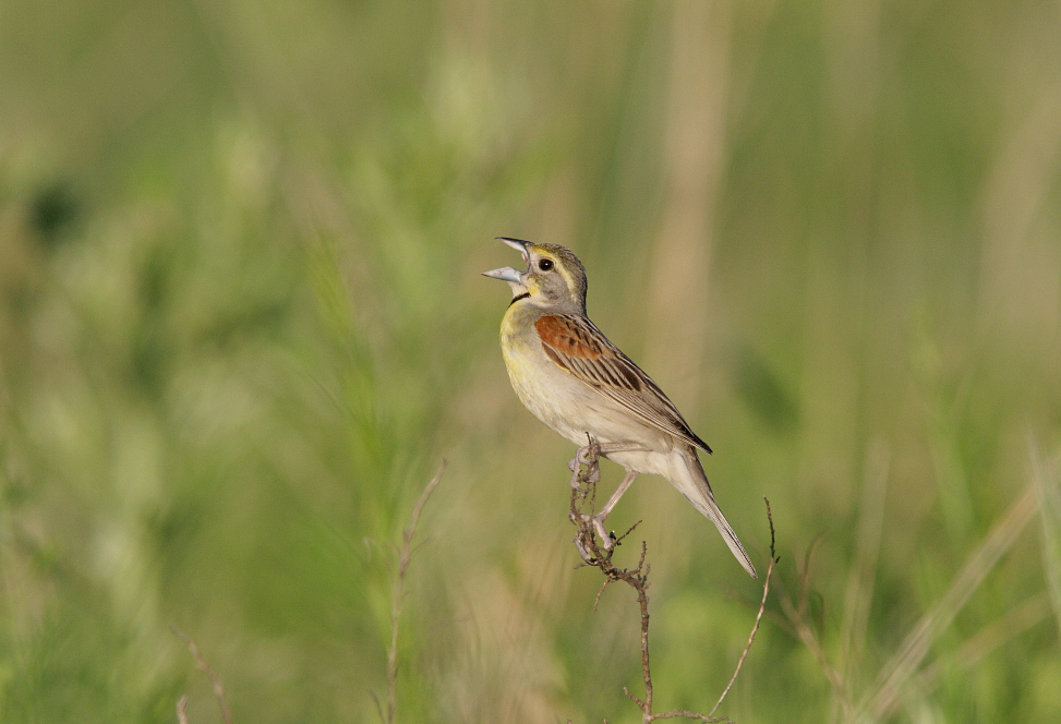
Dickcissel (Spiza americana)
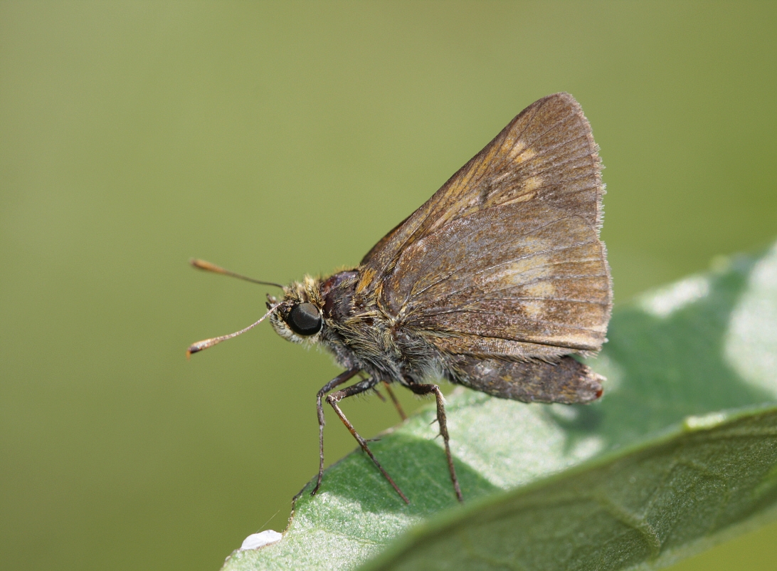
Byssus Skipper (Problema byssus kumskaka) ?
Hickory Grove Lake
Black Dash (Euphyes conspicua)

IMG_18664.JPG
Topographic Map of Co Rd S27, Maxwell, IA, USA
Find elevation by address:

Places near Co Rd S27, Maxwell, IA, USA:
Maxwell
Indian Creek
th Ave, Maxwell, IA, USA
15975 Ne 80th St
Washington
NE th Ave, Maxwell, IA, USA
Collins
3rd St, Collins, IA, USA
Nevada
Collins
Cambridge, IA, USA
Union Township
Cambridge
Water St, Cambridge, IA, USA
307 4th St
26350 595th Ave
731 Lincoln Hwy
Nevada
N rd Ave W, Collins, IA, USA
New Albany
Recent Searches:
- Elevation of Groblershoop, South Africa
- Elevation of Power Generation Enterprises | Industrial Diesel Generators, Oak Ave, Canyon Country, CA, USA
- Elevation of Chesaw Rd, Oroville, WA, USA
- Elevation of N, Mt Pleasant, UT, USA
- Elevation of 6 Rue Jules Ferry, Beausoleil, France
- Elevation of Sattva Horizon, 4JC6+G9P, Vinayak Nagar, Kattigenahalli, Bengaluru, Karnataka, India
- Elevation of Great Brook Sports, Gold Star Hwy, Groton, CT, USA
- Elevation of 10 Mountain Laurels Dr, Nashua, NH, USA
- Elevation of 16 Gilboa Ln, Nashua, NH, USA
- Elevation of Laurel Rd, Townsend, TN, USA