Elevation of New Albany, IA, USA
Location: United States > Iowa > Story County >
Longitude: -93.298610
Latitude: 41.9913452
Elevation: 320m / 1050feet
Barometric Pressure: 98KPa
Elevation Map:
Satellite Map:
Related Photos:
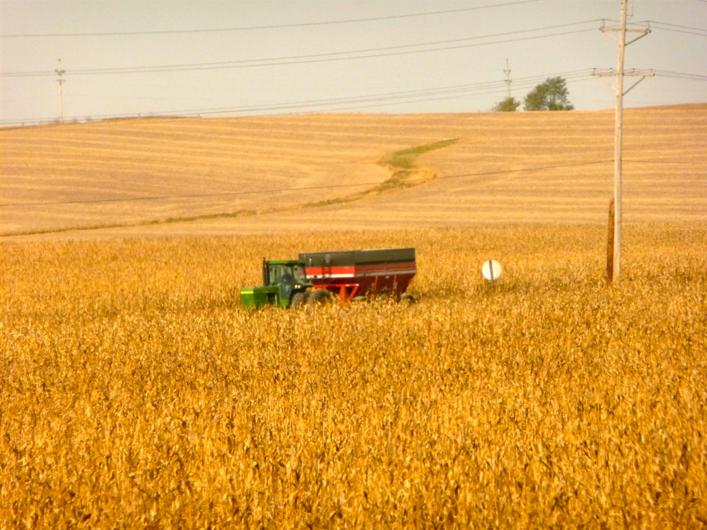
Iowa: Corn Harvest Time
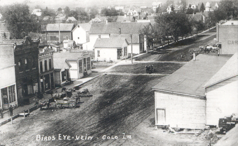
Colo, Iowa, Aerial View

The L&J Station in monochrome (2 of 3)
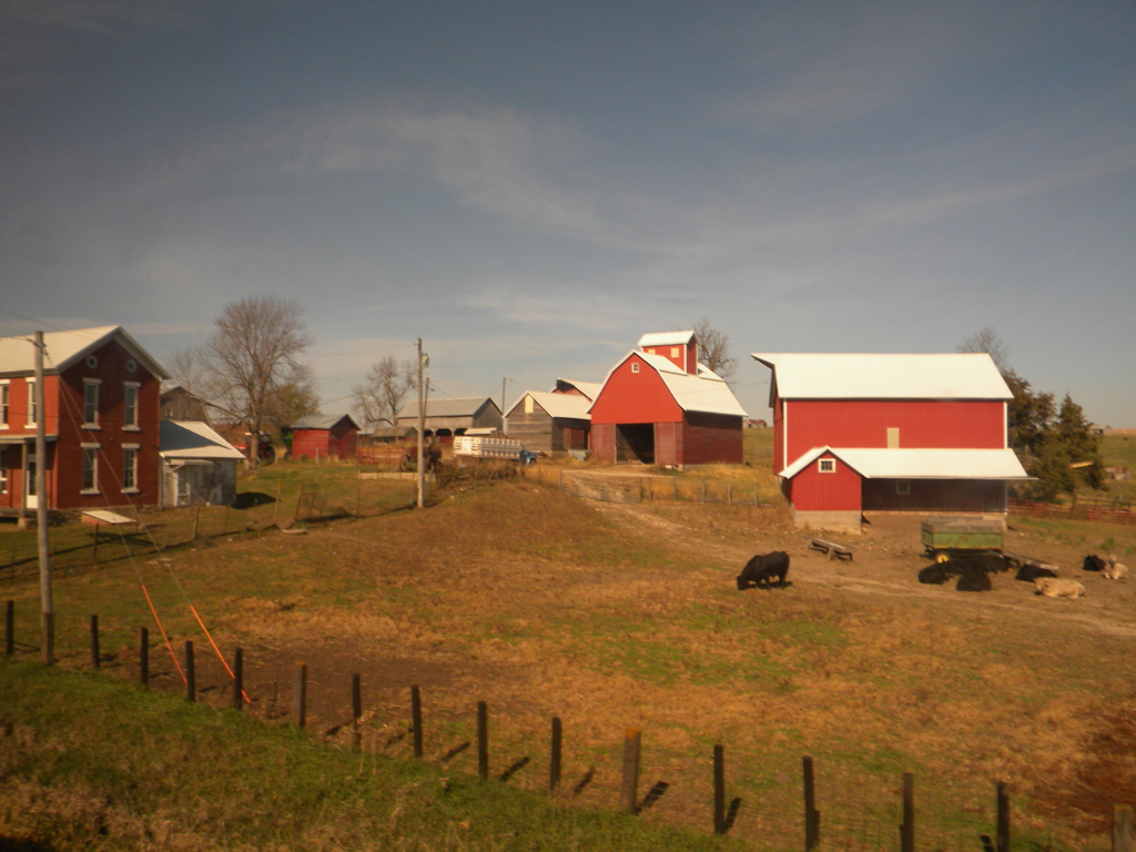
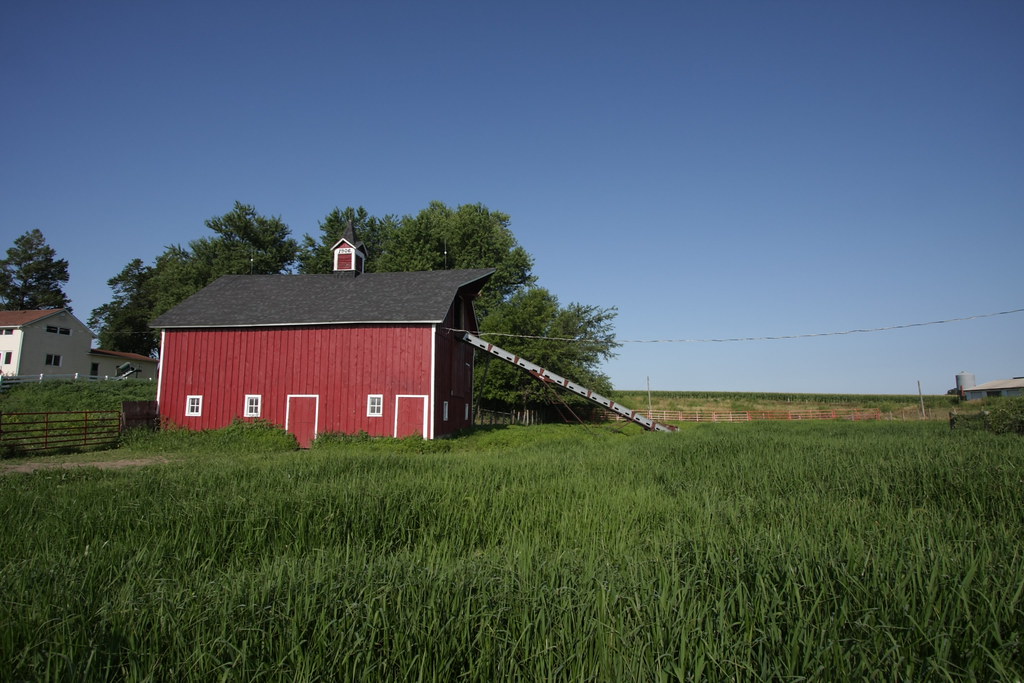
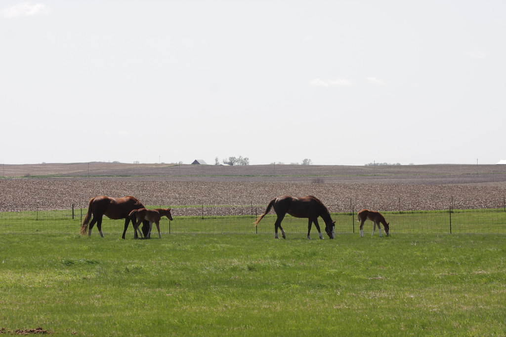
Iowa: Homestead
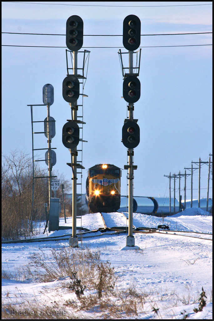
UP 4049 - Nevada IA
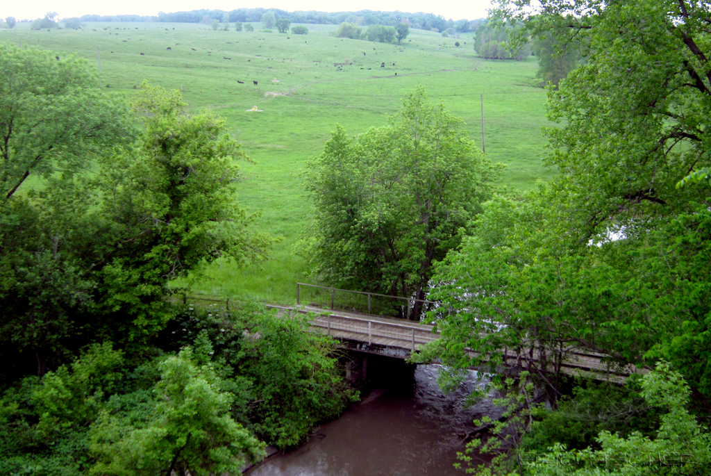
view from Hoy Bridge
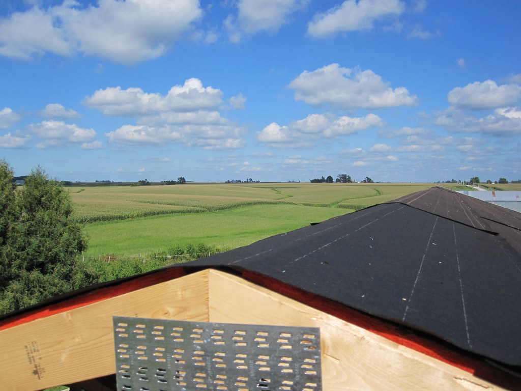
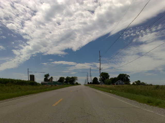
MD 181 (2010-Aug-14): View From the Top
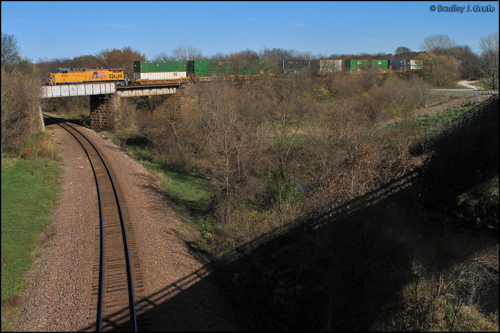
UP 6716 - Devils Hollow - Nevada IA
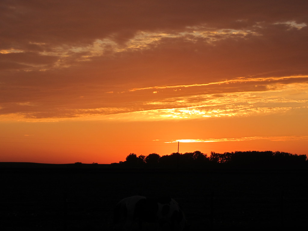
Iowa Sunset
IMG_19028.JPG

the cave
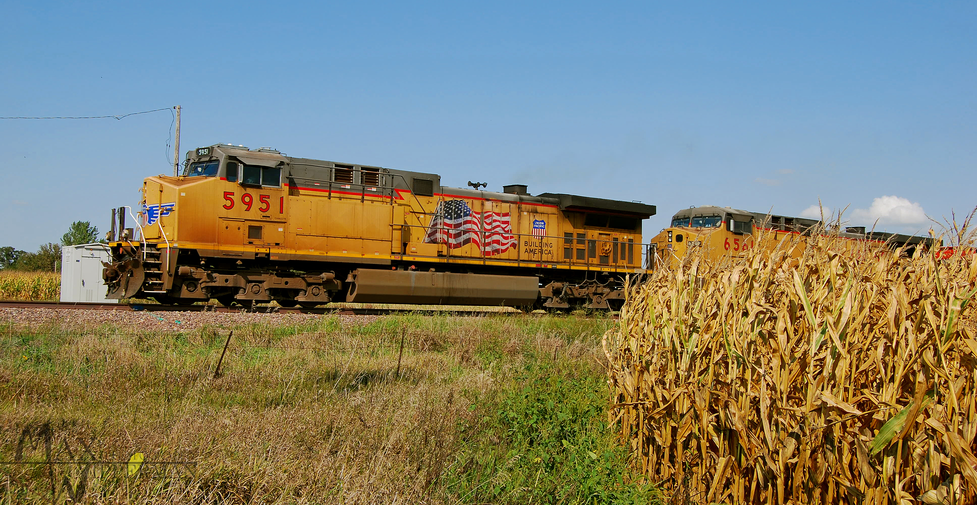
UP 4987
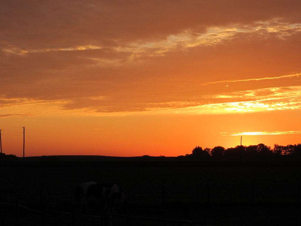
Iowa Sunset

IMG_03224.JPG
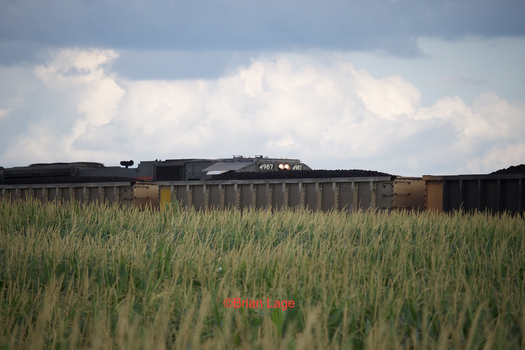
Coal and Corn
IMG_03223.JPG

UP 6073 at Fernald
Blue Steel took a picture!

Blue Steel took a picture!
IMG_19013.JPG

State Center, Iowa, Union Pacific Railroad, Siding, Abandoned
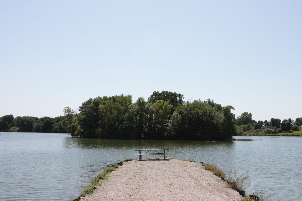
Jetty on Hickory Grove Lake

Nevada, far from Vegas
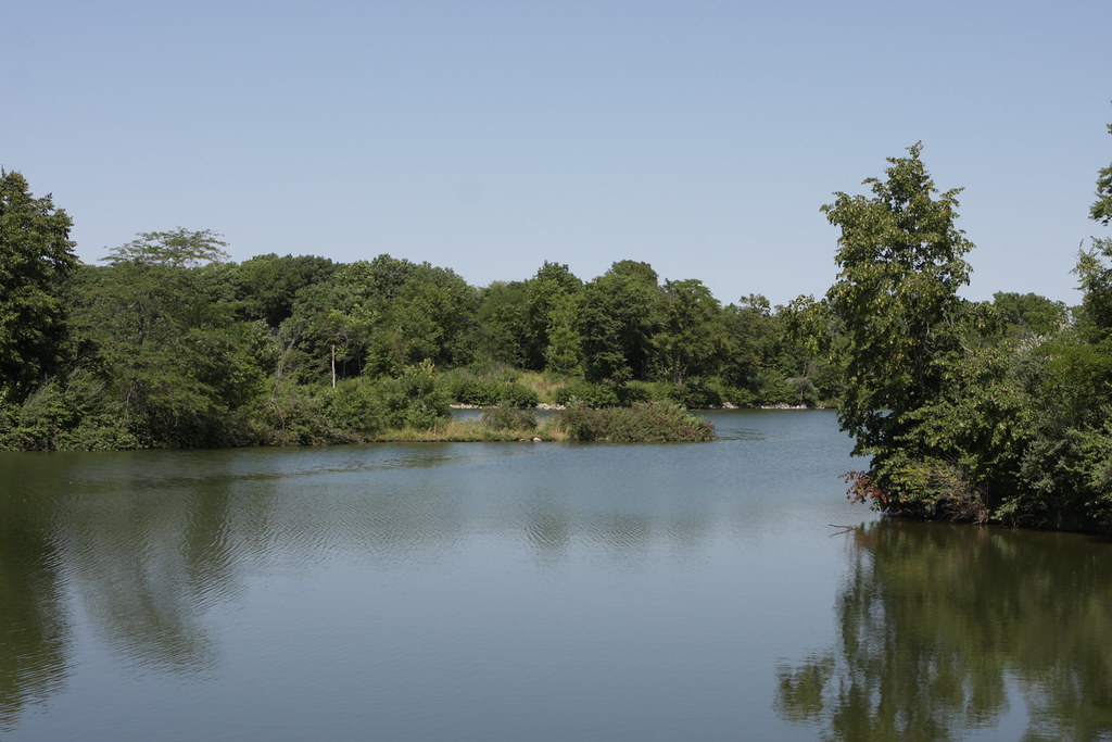
Hickory Grove Lake
IMG_19019.JPG
IMG_19018.JPG
IMG_19020.JPG

Blue Steel took a picture!
Topographic Map of New Albany, IA, USA
Find elevation by address:

Places in New Albany, IA, USA:
Places near New Albany, IA, USA:
4th St, Colo, IA, USA
Colo
101 Collins St
3rd St, Collins, IA, USA
Collins
Collins
Nevada
2170 Canfield Ave
Richland St, Nevada, IA, USA
State Center
E Main St, State Center, IA, USA
Richland
Co Rd S27, Maxwell, IA, USA
State Center
Maxwell
Indian Creek
N rd Ave W, Collins, IA, USA
th Ave, Maxwell, IA, USA
731 Lincoln Hwy
Nevada
Recent Searches:
- Elevation of Lagasgasan, X+CQH, Tiaong, Quezon, Philippines
- Elevation of Rojo Ct, Atascadero, CA, USA
- Elevation of Flagstaff Drive, Flagstaff Dr, North Carolina, USA
- Elevation of Avery Ln, Lakeland, FL, USA
- Elevation of Woolwine, VA, USA
- Elevation of Lumagwas Diversified Farmers Multi-Purpose Cooperative, Lumagwas, Adtuyon, RV32+MH7, Pangantucan, Bukidnon, Philippines
- Elevation of Homestead Ridge, New Braunfels, TX, USA
- Elevation of Orchard Road, Orchard Rd, Marlborough, NY, USA
- Elevation of 12 Hutchinson Woods Dr, Fletcher, NC, USA
- Elevation of Holloway Ave, San Francisco, CA, USA