Elevation of Mingo, IA, USA
Location: United States > Iowa > Jasper County > Poweshiek >
Longitude: -93.283539
Latitude: 41.7674881
Elevation: 254m / 833feet
Barometric Pressure: 98KPa
Elevation Map:
Satellite Map:
Related Photos:

Ashton Wildwood Praire

September 7 2012
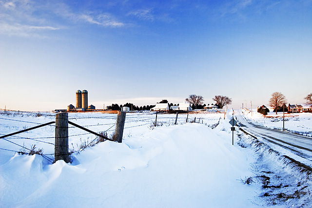
Iowa rest area
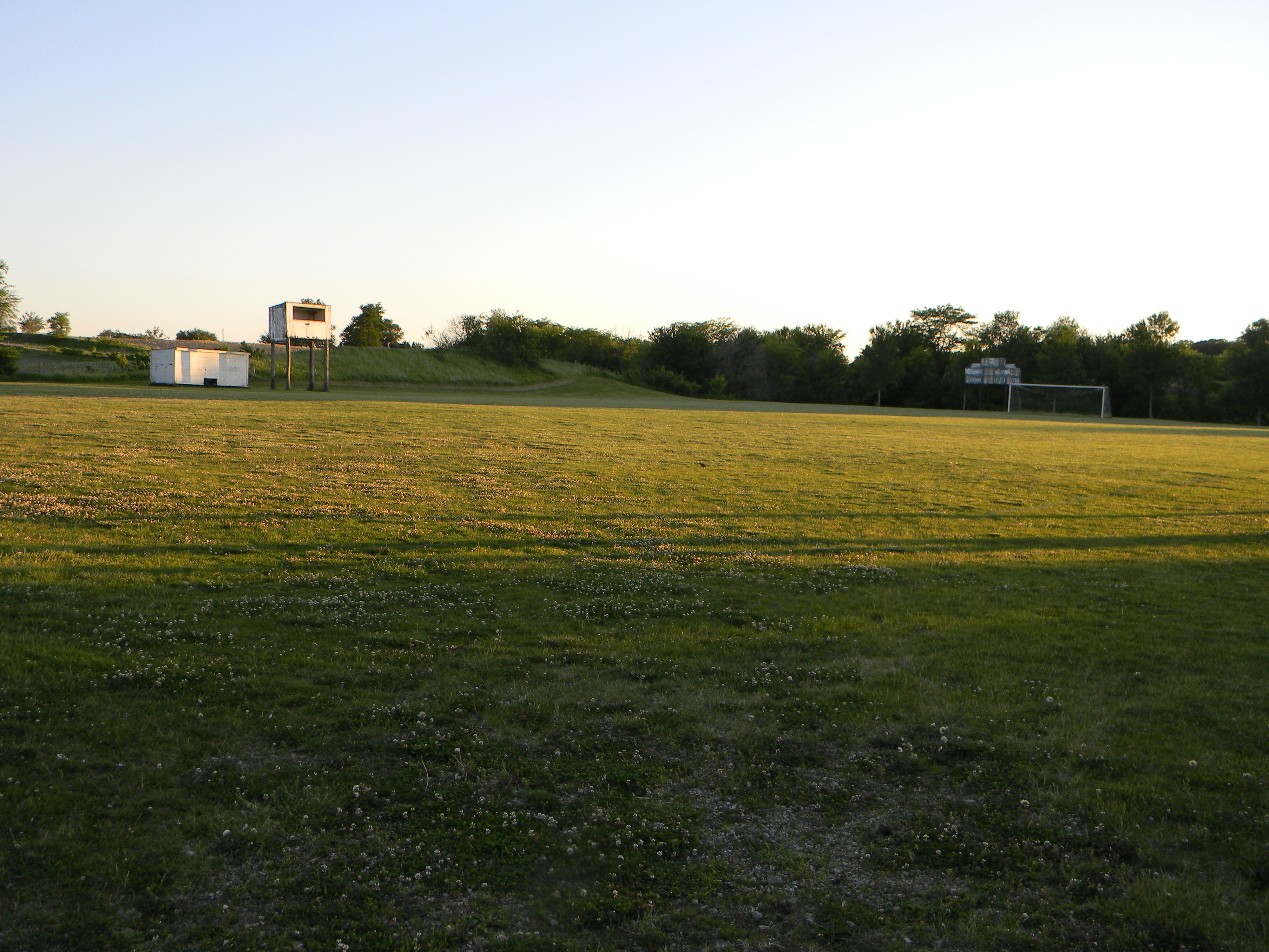
Abandoned High School Football Field, Mingo, Iowa
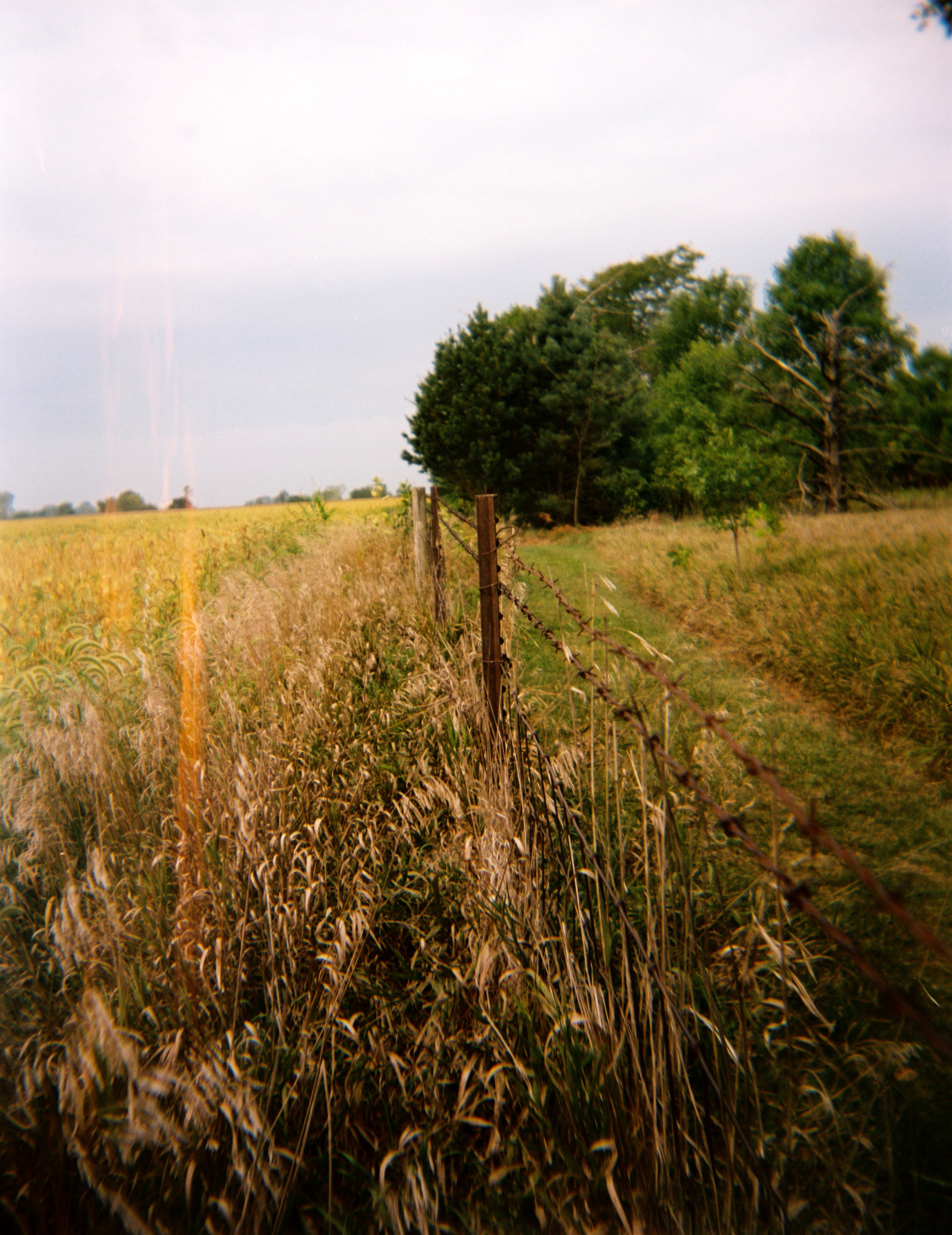
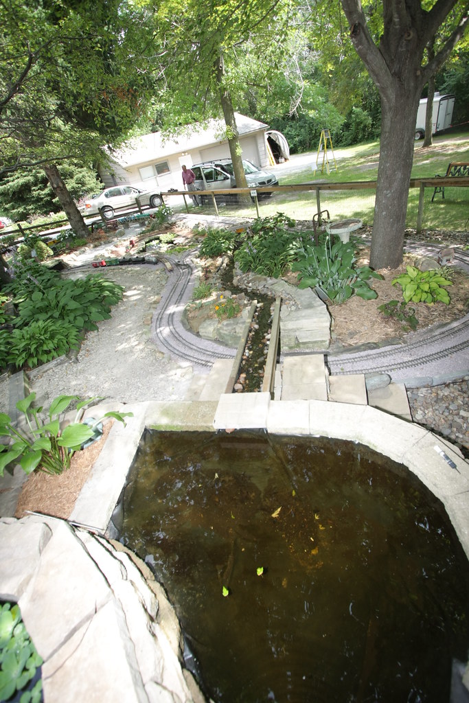
Day 47: Drifted Farm
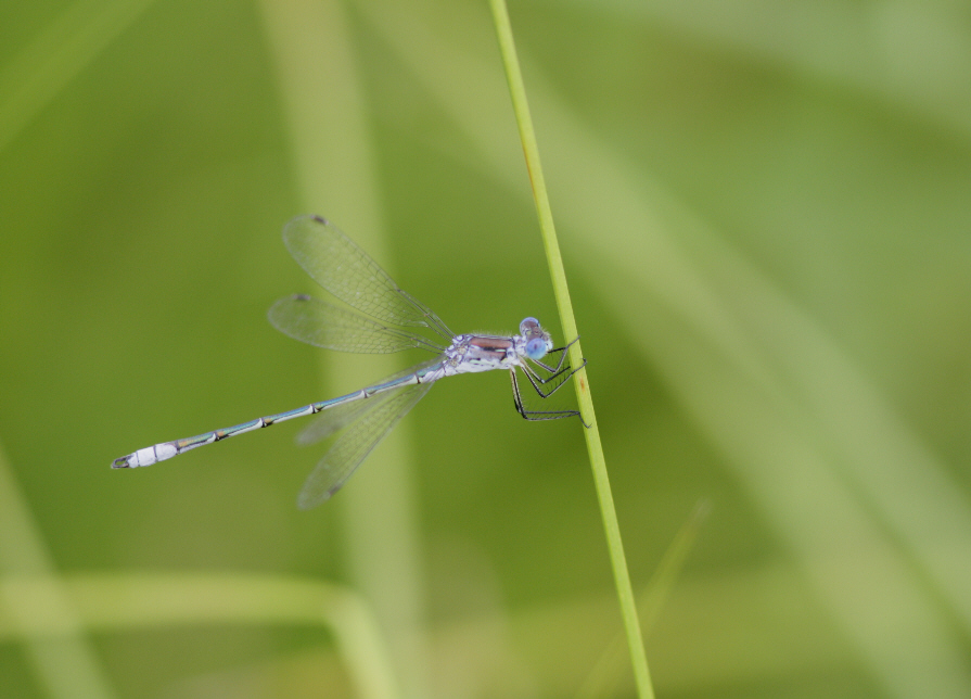
unidentified spreadwing (Lestes sp.)
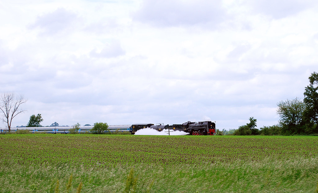
QJ 7081

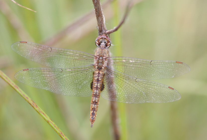
Dot-tailed Whiteface (Leucorrhinia intacta)
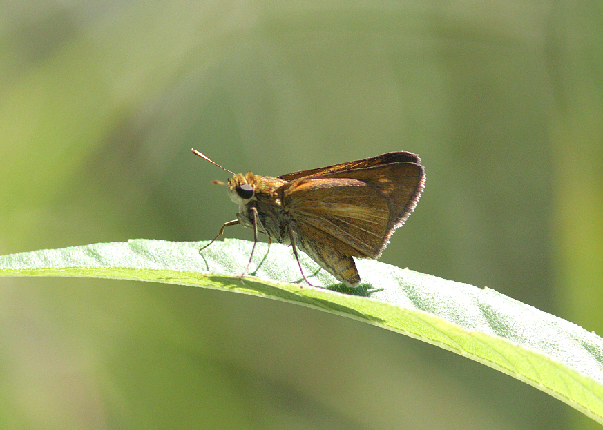
Dion Skipper (Euphyes dion)
Spot-winged Glider (Pantala hymenaea)
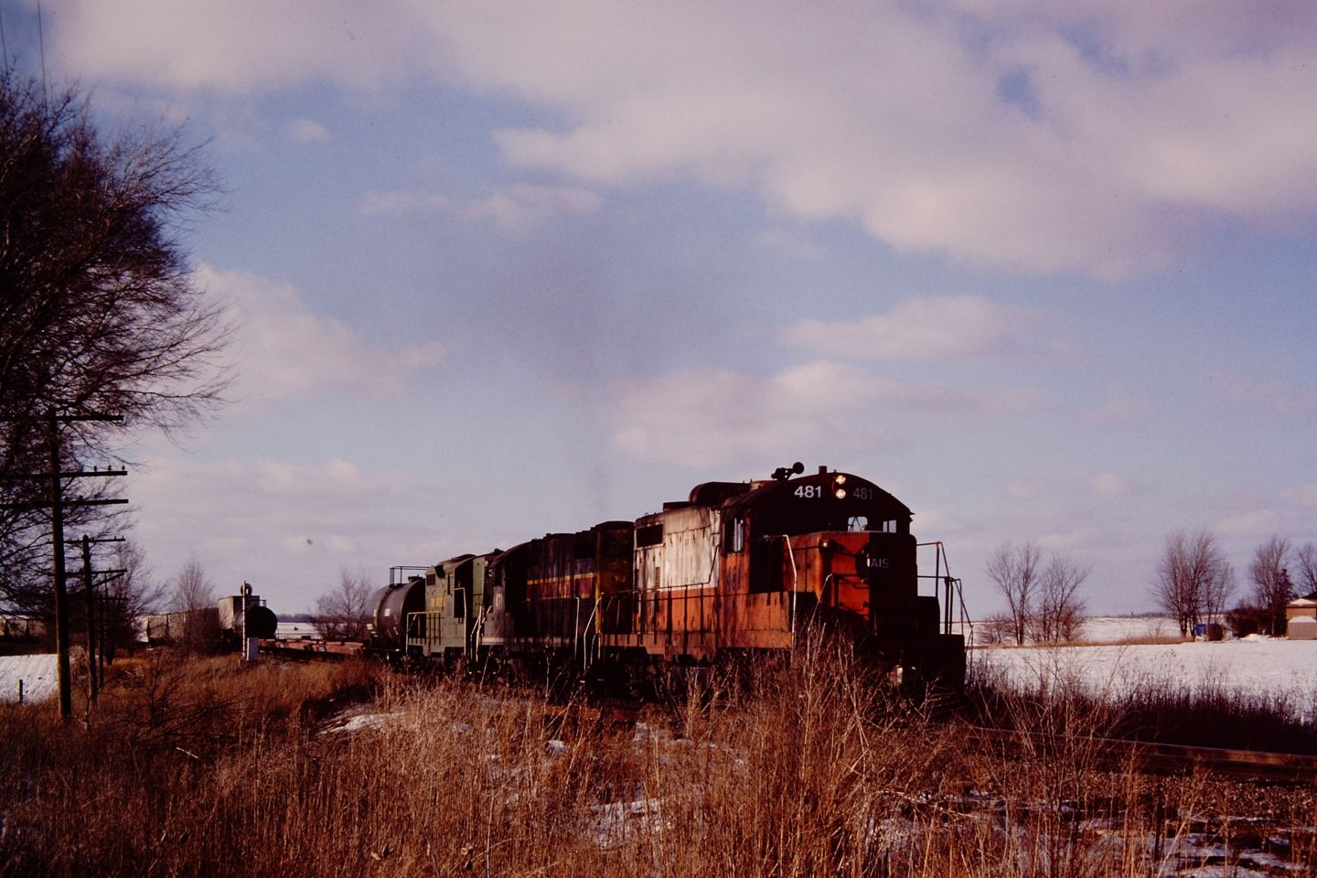
IAIS 481E

Promachus vertebratus

Black Dash (Euphyes conspicua)

Corn on the Way Back to Iowa City
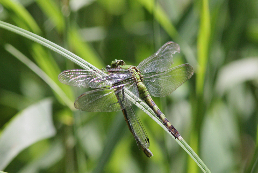
Eastern Pondhawk (Erythemis simplicicollis)

Dickcissel (Spiza americana)

Byssus Skipper (Problema byssus kumskaka) ?

Black Dash (Euphyes conspicua)

IMG_18664.JPG

Raod into the Campground
IMG_18643.JPG
Topographic Map of Mingo, IA, USA
Find elevation by address:

Places in Mingo, IA, USA:
Places near Mingo, IA, USA:
Station St, Mingo, IA, USA
Poweshiek
Clear Creek
Center St, Colfax, IA, USA
Valeria
N rd Ave W, Collins, IA, USA
NE th Ave, Maxwell, IA, USA
11 E Howard St, Colfax, IA, USA
Colfax
122 E Division St
130 E Washington St
Washington
Franklin
2nd St NE, Mitchellville, IA, USA
Washington
Mitchellville
Collins
Independence
W 92nd St S, Colfax, IA, USA
Collins
Recent Searches:
- Elevation of Fernwood, Bradenton, FL, USA
- Elevation of Felindre, Swansea SA5 7LU, UK
- Elevation of Leyte Industrial Development Estate, Isabel, Leyte, Philippines
- Elevation of W Granada St, Tampa, FL, USA
- Elevation of Pykes Down, Ivybridge PL21 0BY, UK
- Elevation of Jalan Senandin, Lutong, Miri, Sarawak, Malaysia
- Elevation of Bilohirs'k
- Elevation of 30 Oak Lawn Dr, Barkhamsted, CT, USA
- Elevation of Luther Road, Luther Rd, Auburn, CA, USA
- Elevation of Unnamed Road, Respublika Severnaya Osetiya — Alaniya, Russia