Elevation of Co Rd, Ozark, AR, USA
Location: United States > Arkansas > Johnson County > Dickerson-hill Township >
Longitude: -93.697851
Latitude: 35.677491
Elevation: 271m / 889feet
Barometric Pressure: 98KPa
Elevation Map:
Satellite Map:
Related Photos:
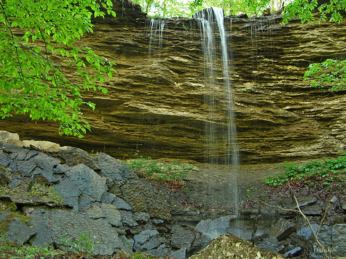
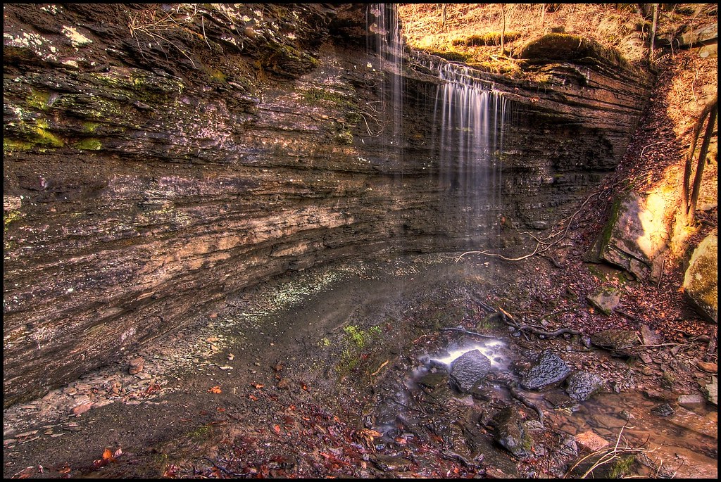
"Flickr, Meet Senyard Falls."
Beautiful view #ozarkmountains #mulberrymountain #byrdsadventurecenter

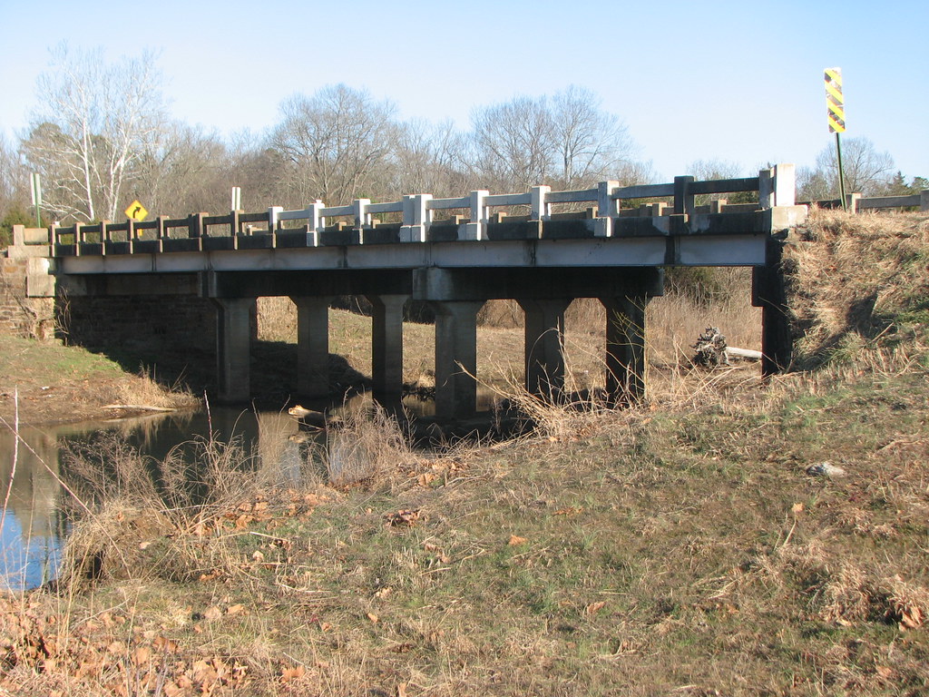
North End: Low Bridge Rd @Mulberry River
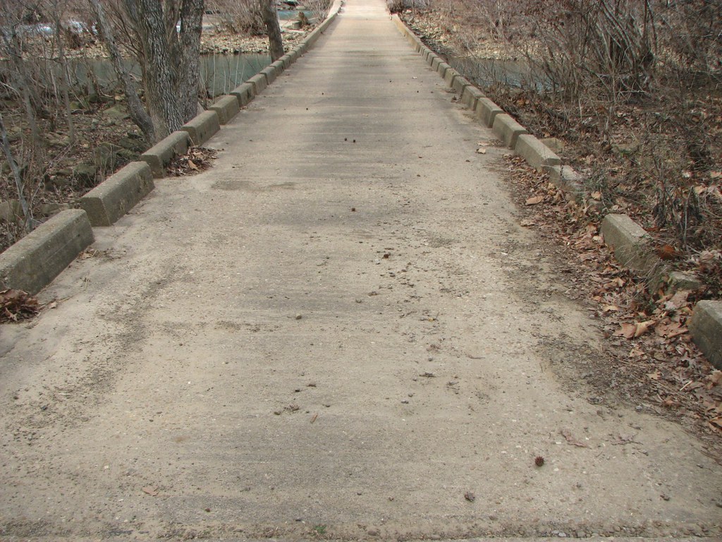
Deck View: Low Bridge Rd @Mulberry River
Side View-Horsehead Creek

Pig Trail Falls
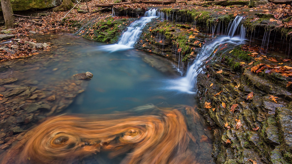
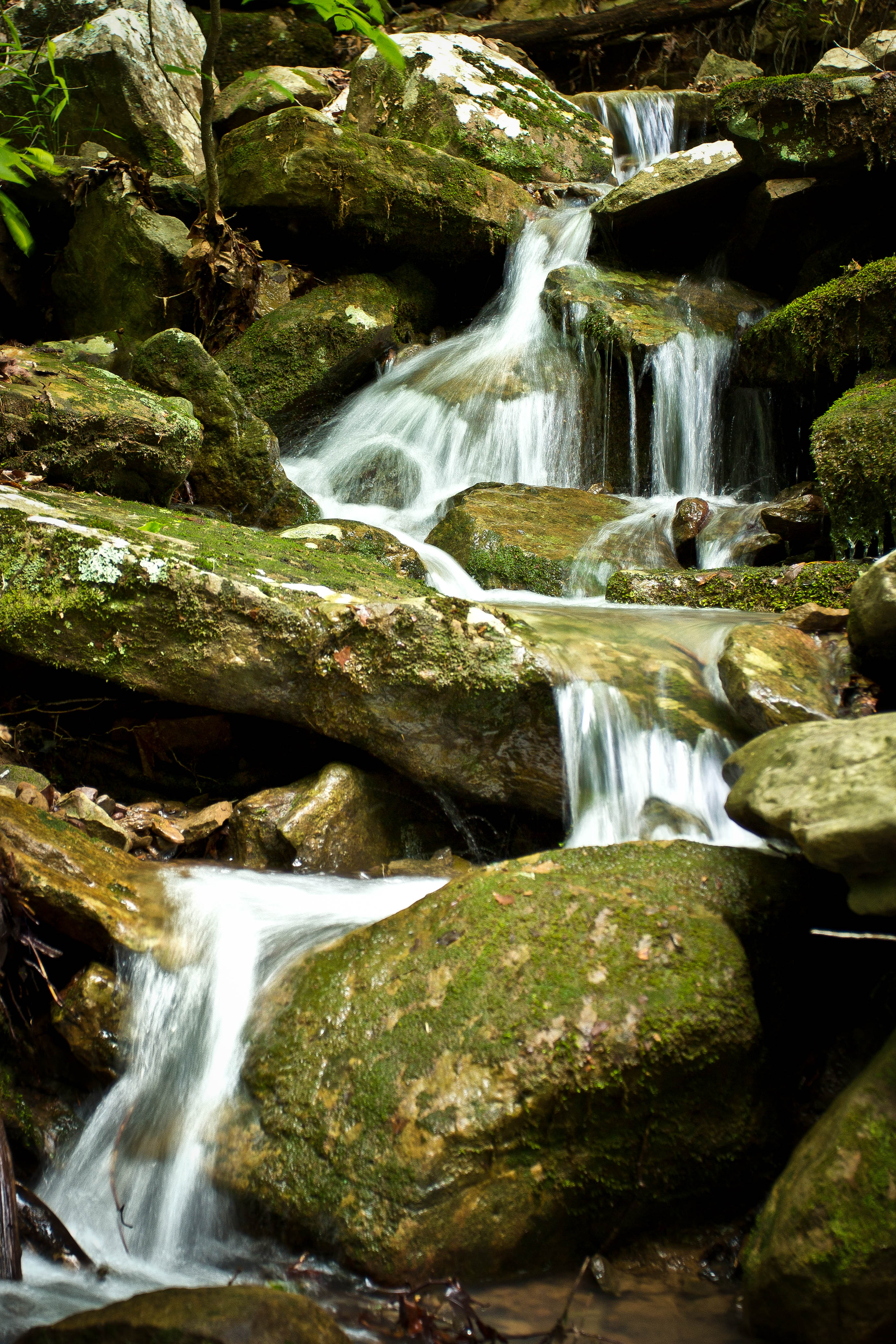
Double Waterfall with a double leaf swirly on an unnamed creek somewhere in the Ozarks
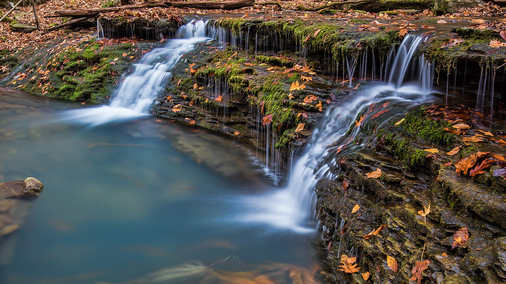
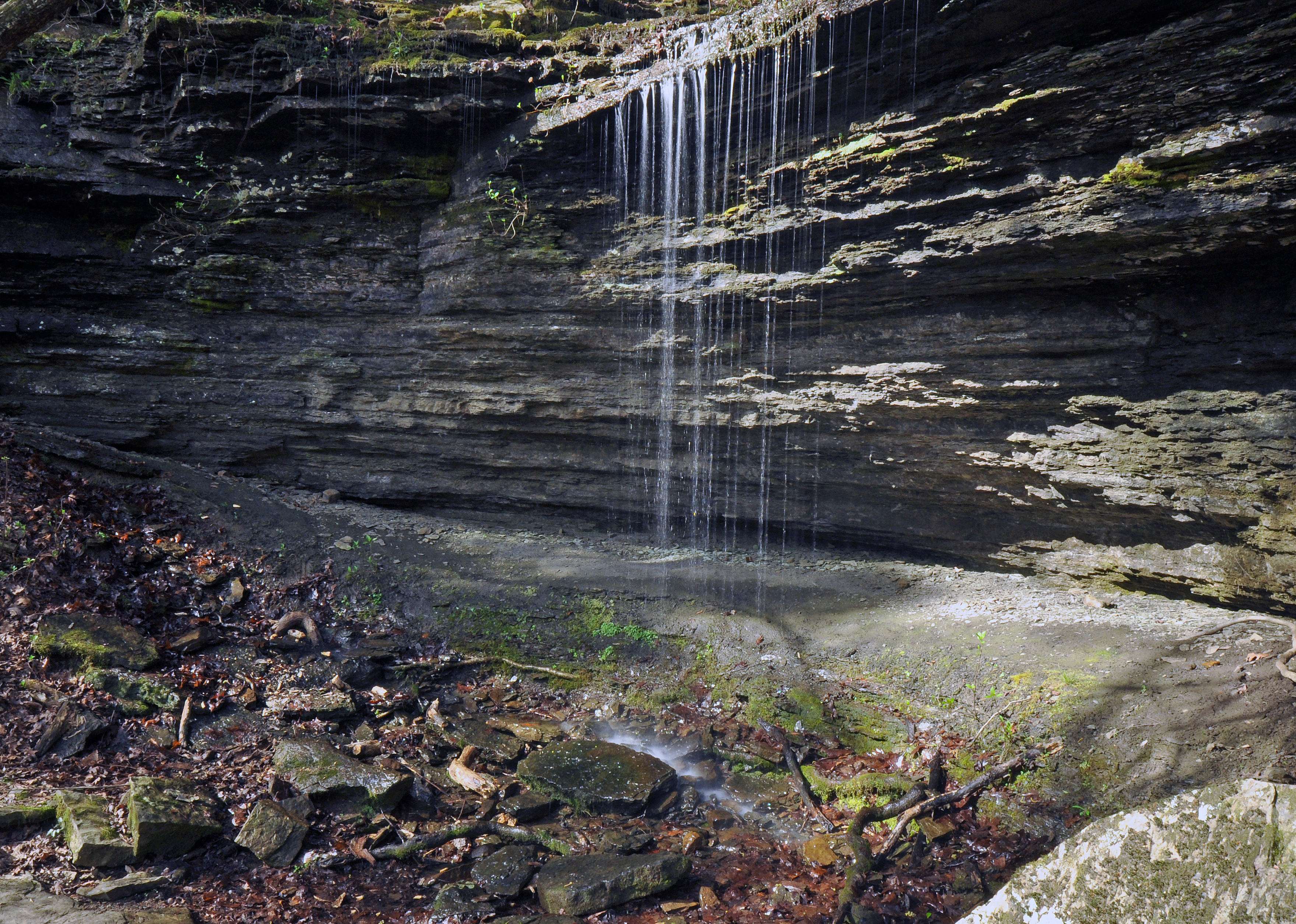
Unnamed falls on an unnamed creek
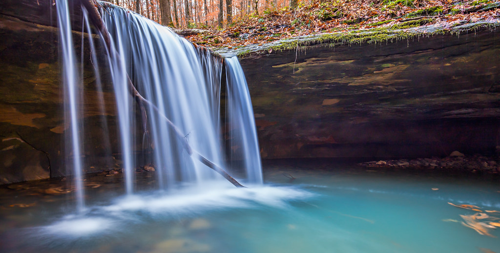
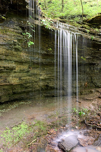
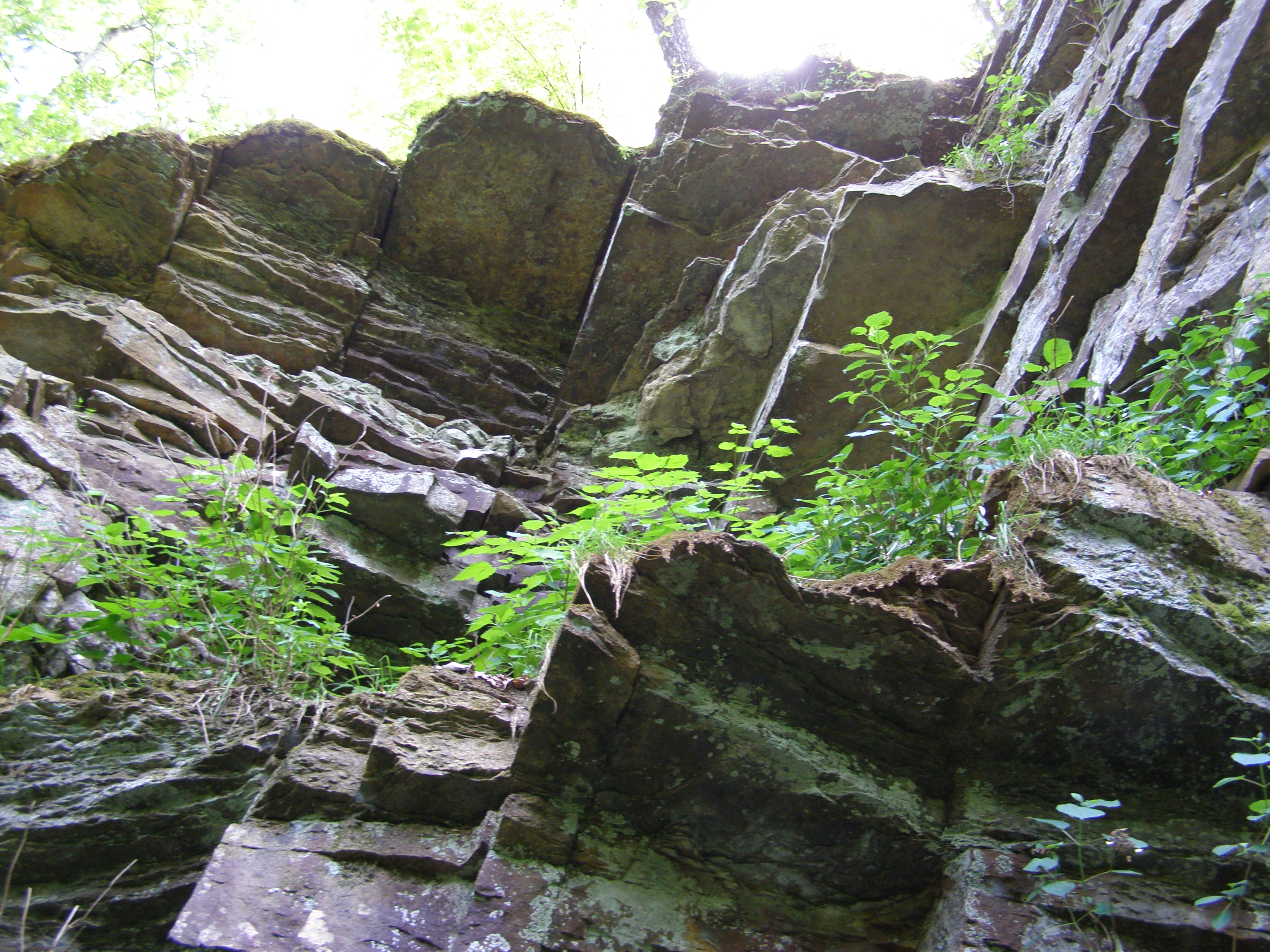
Short Grotto Falls
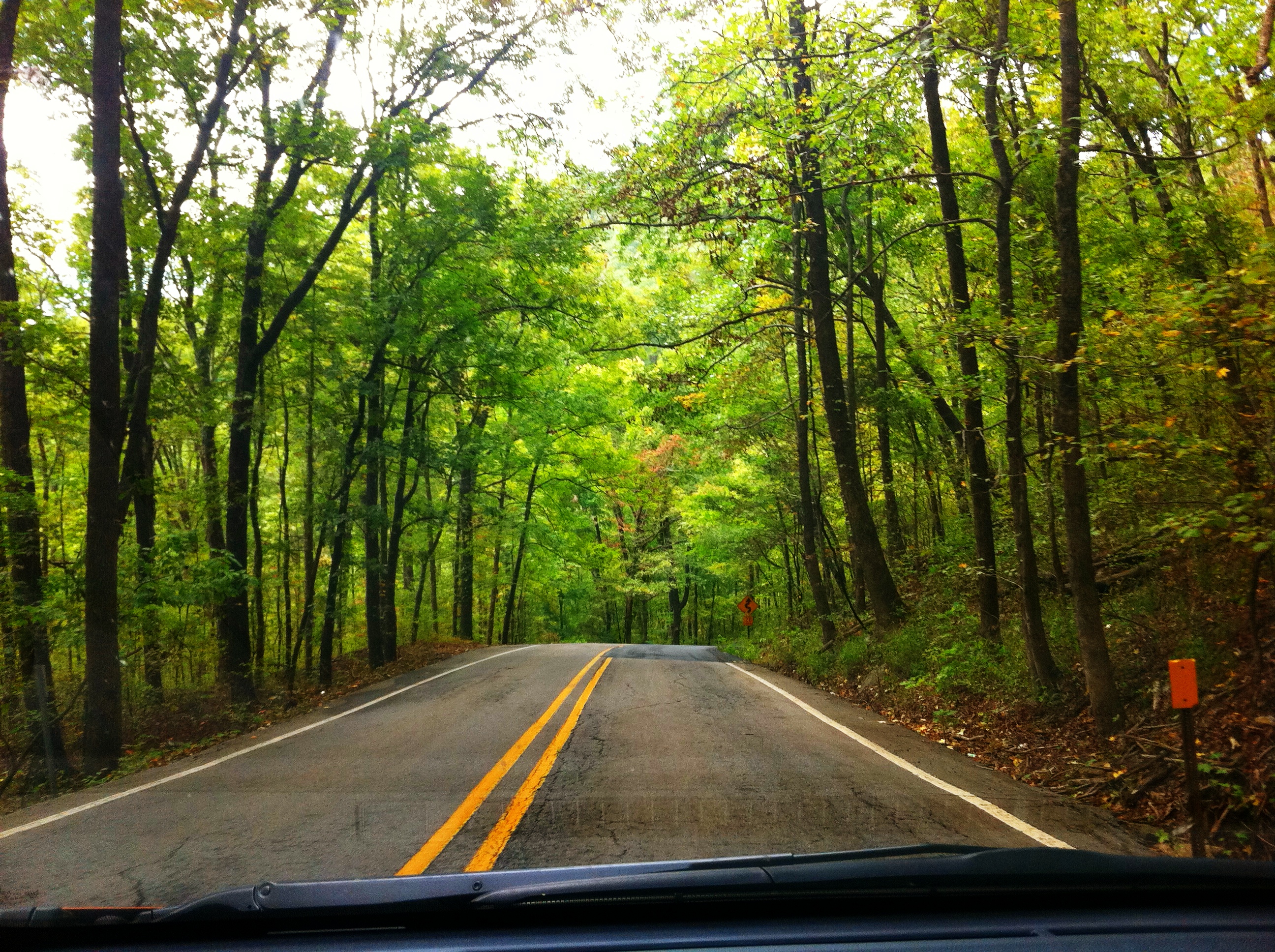
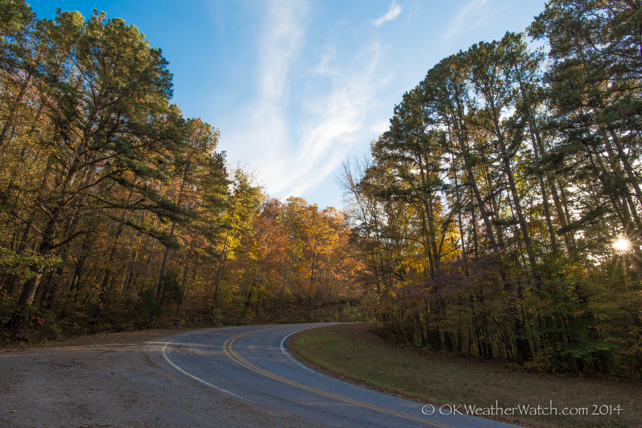
Highway 23 through Ozark National Forest
Pig Trail Falls
More Big Rocks

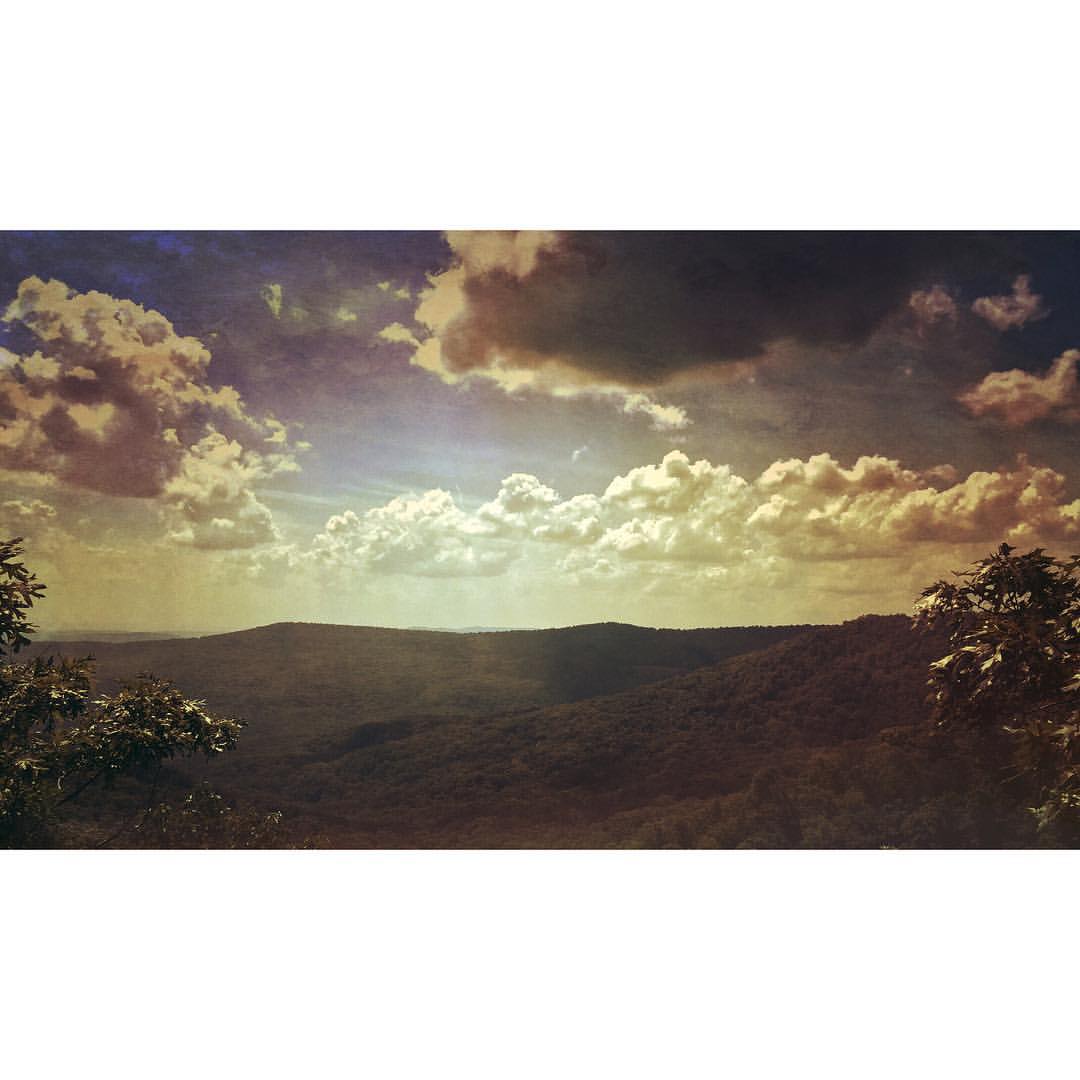
White Rock Mountain Sunset
Pig Trail Falls
Dare you to climb this
Dare you to climb this too

Creek under Highway 103
High Bank Twins creek
Pig Trail Falls
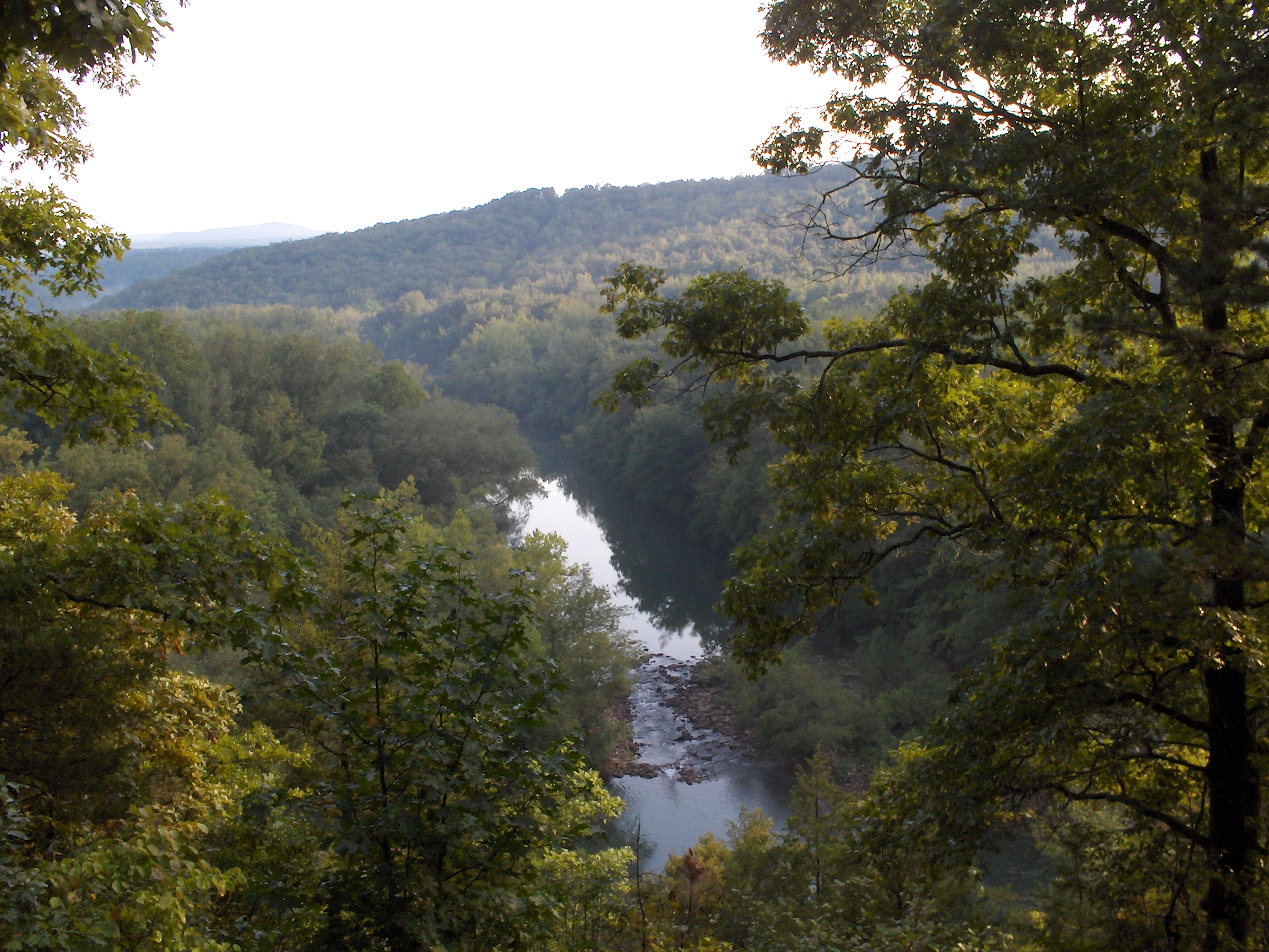
Mulberry River North of Cass, AR
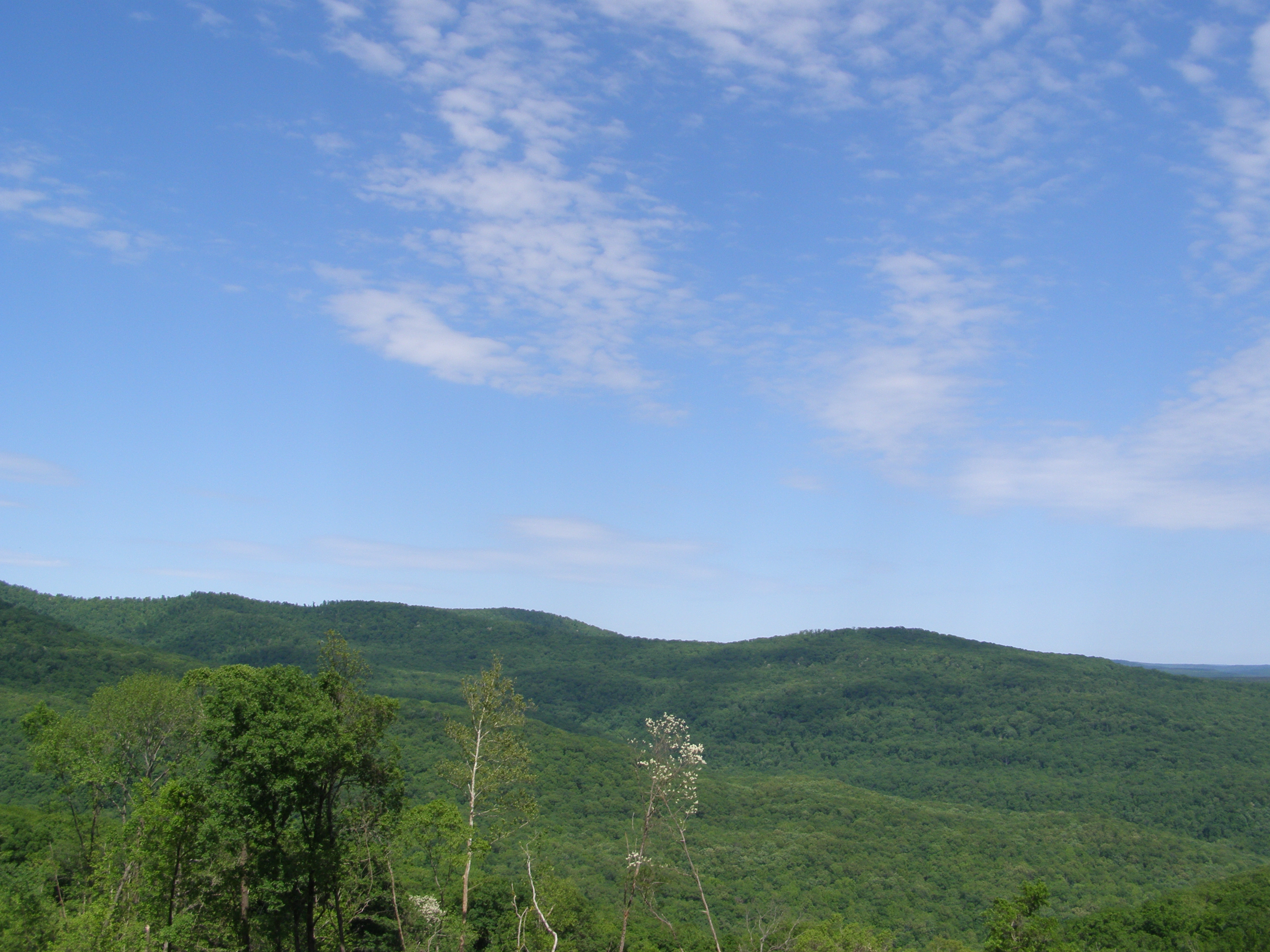
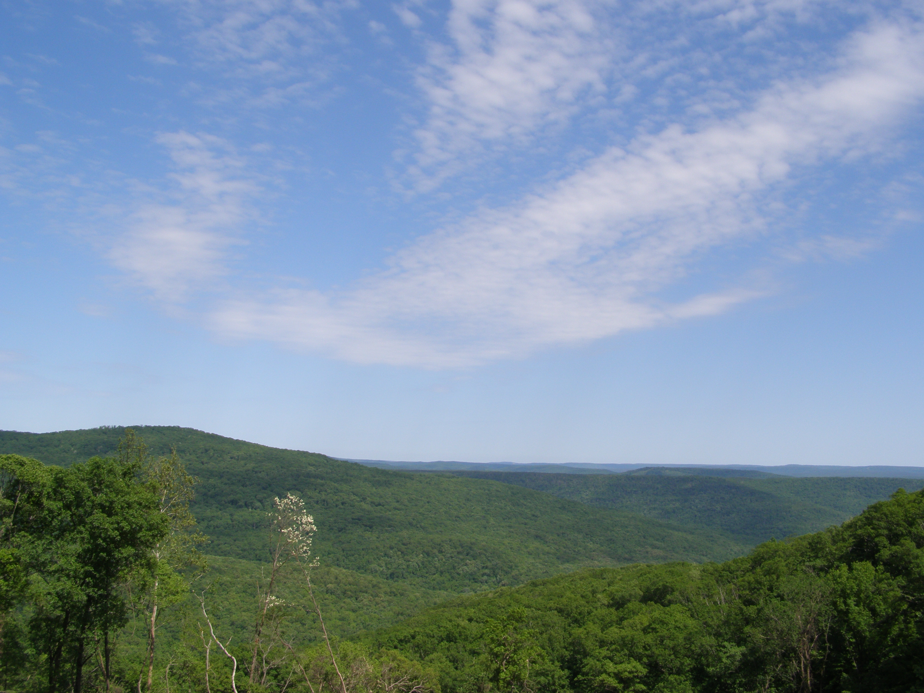
More Sky

Under The Bluff
Highway 103
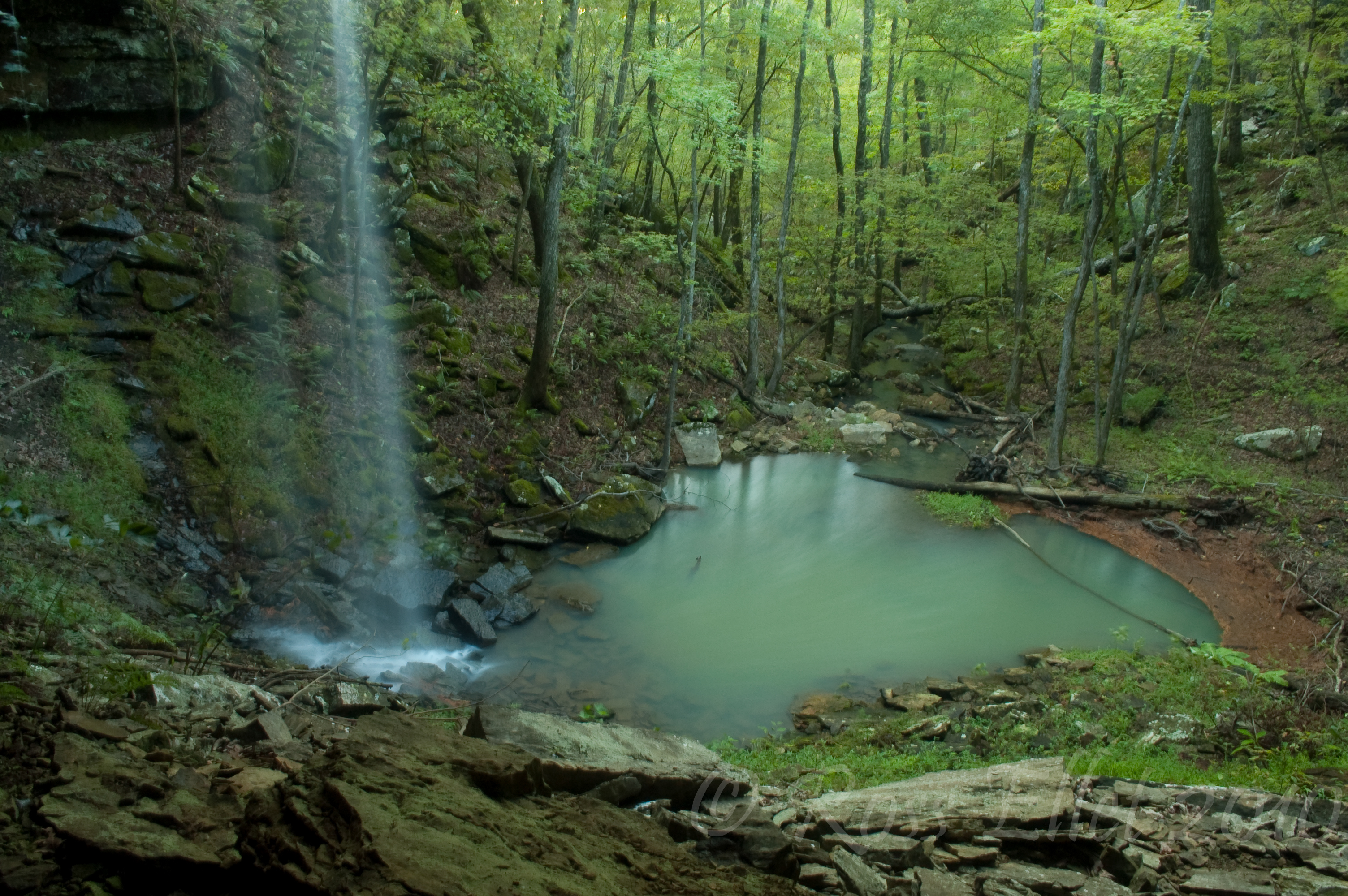
Emerald Pool
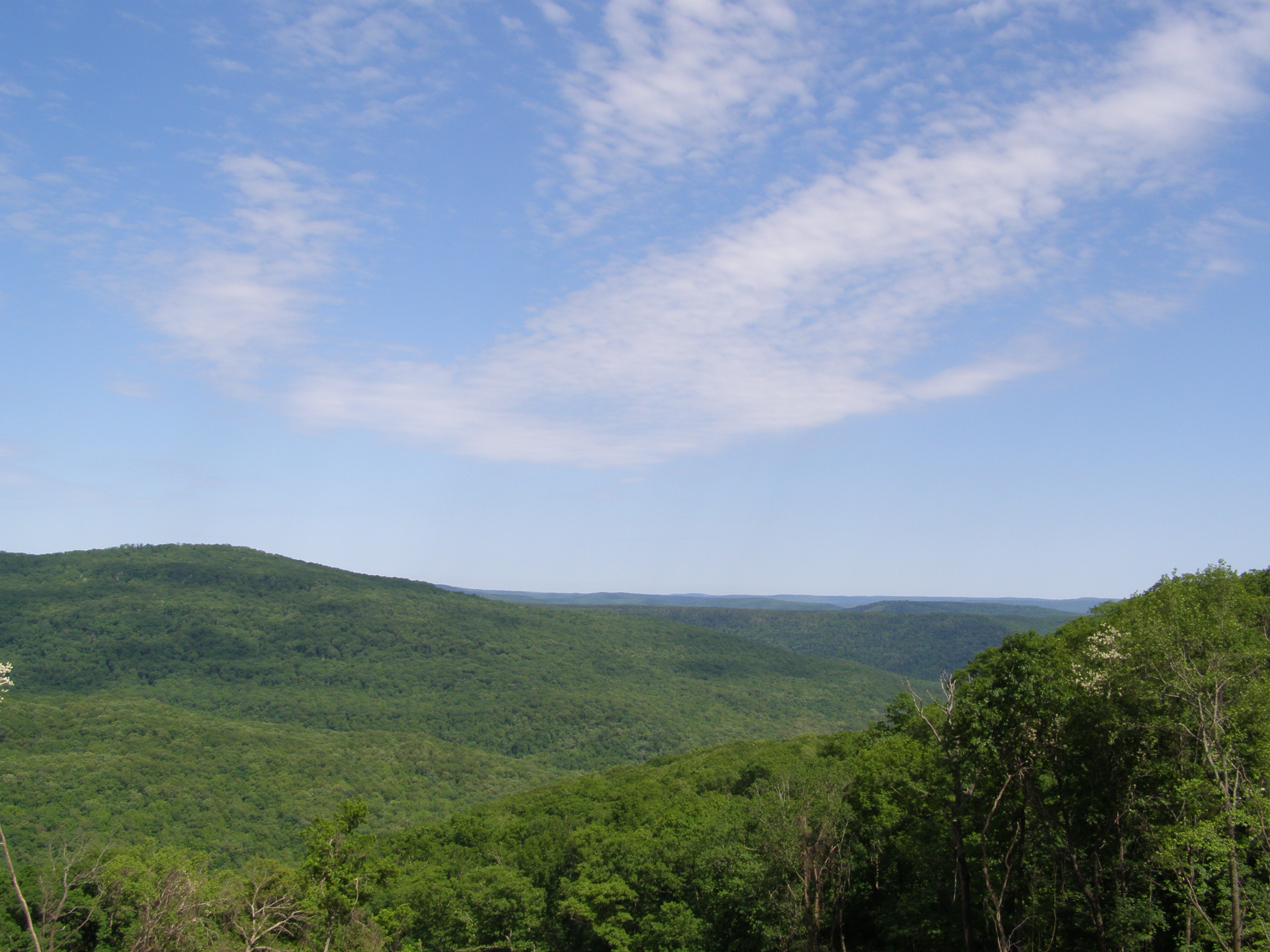
Even More Sky
Guess what, more sky
Topographic Map of Co Rd, Ozark, AR, USA
Find elevation by address:

Places near Co Rd, Ozark, AR, USA:
1047 Co Rd 5099
1047 Co Rd 5099
Dickerson-hill Township
West Cobb
Oark, AR, USA
Batson Township
County Road 4160
Co Rd, Pettigrew, AR, USA
Oark
Cat Holler Road
1444 Madison 4685
Garrett Mountain
1591 Co Rd 3080
Boston Township
Pvt Rd, Clarksville, AR, USA
Madison, St Paul, AR, USA
Stonewall Township
AR-23, Ozark, AR, USA
Hilburn Township
Pettigrew
Recent Searches:
- Elevation of Corso Fratelli Cairoli, 35, Macerata MC, Italy
- Elevation of Tallevast Rd, Sarasota, FL, USA
- Elevation of 4th St E, Sonoma, CA, USA
- Elevation of Black Hollow Rd, Pennsdale, PA, USA
- Elevation of Oakland Ave, Williamsport, PA, USA
- Elevation of Pedrógão Grande, Portugal
- Elevation of Klee Dr, Martinsburg, WV, USA
- Elevation of Via Roma, Pieranica CR, Italy
- Elevation of Tavkvetili Mountain, Georgia
- Elevation of Hartfords Bluff Cir, Mt Pleasant, SC, USA