Elevation of Co Rd, Pettigrew, AR, USA
Location: United States > Arkansas > Johnson County > Dickerson-hill Township >
Longitude: -93.626587
Latitude: 35.729946
Elevation: 320m / 1050feet
Barometric Pressure: 98KPa
Elevation Map:
Satellite Map:
Related Photos:
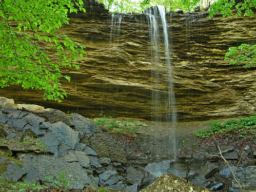
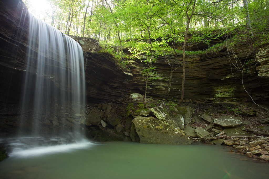
"Flickr, Meet Senyard Falls."

North End: Low Bridge Rd @Mulberry River
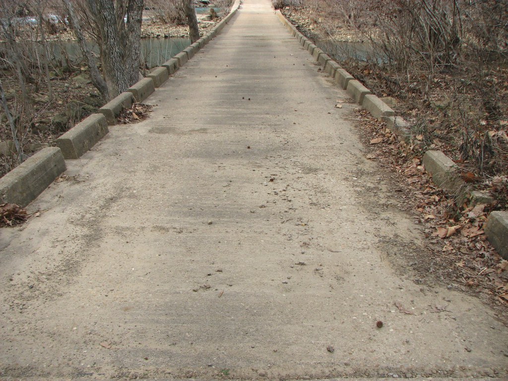
Deck View: Low Bridge Rd @Mulberry River
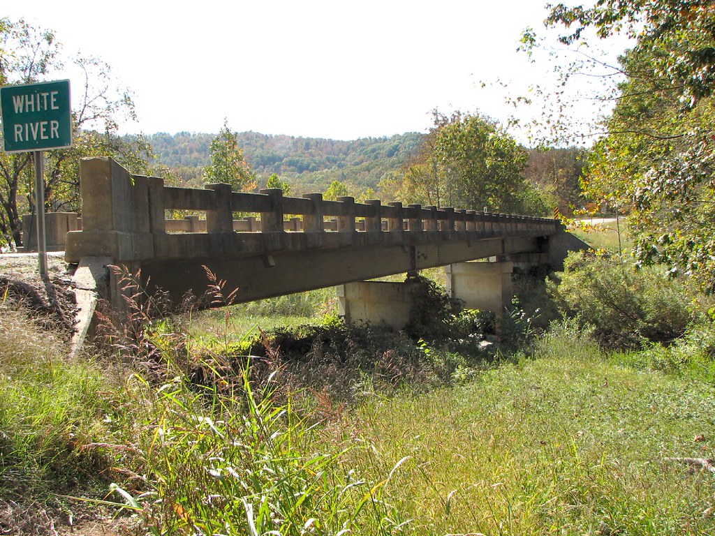
Side View-White River Bridge
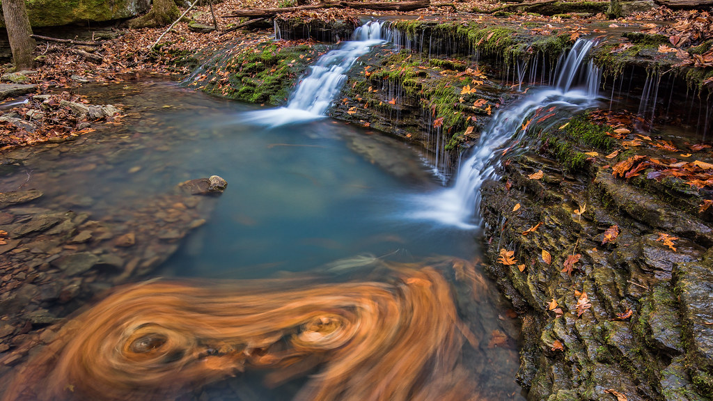
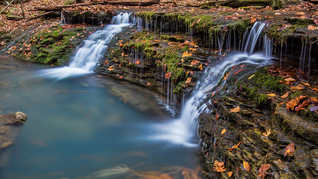
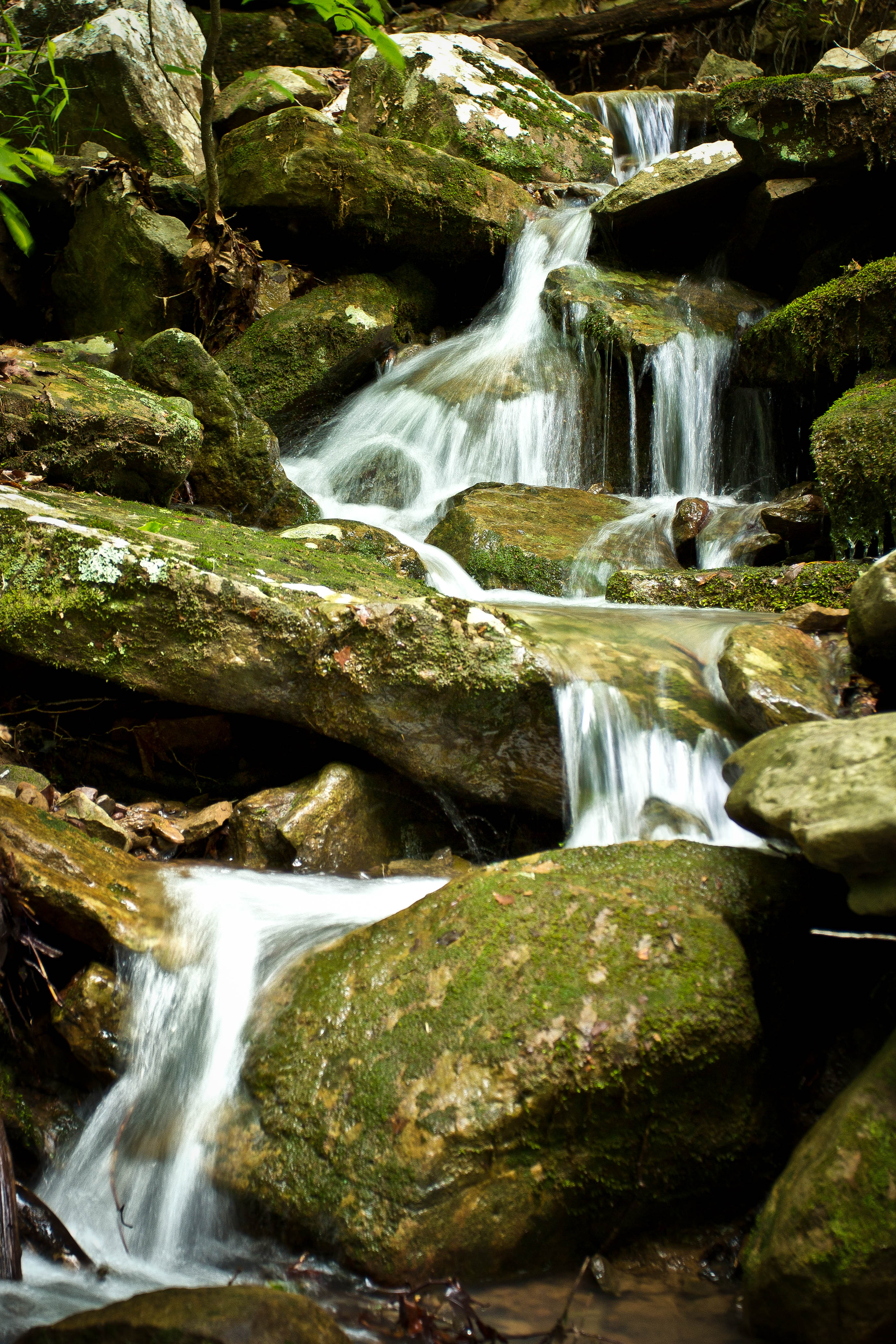
Double Waterfall with a double leaf swirly on an unnamed creek somewhere in the Ozarks
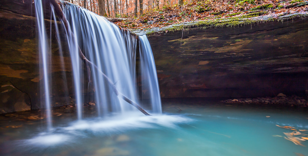
Unnamed falls on an unnamed creek
Short Grotto Falls
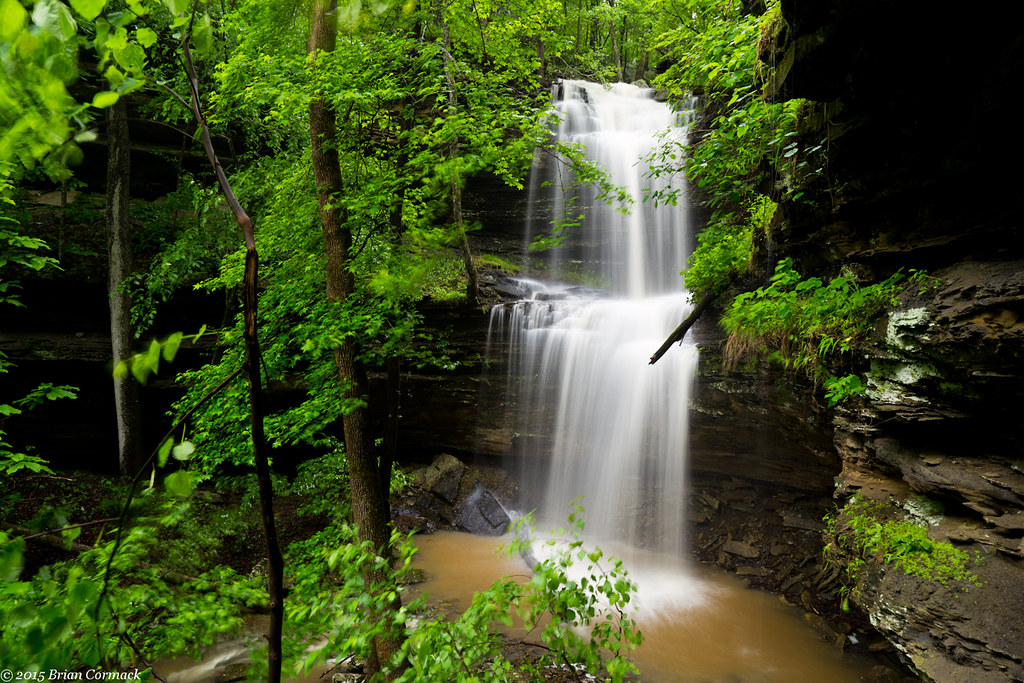
Acord Hollow Falls
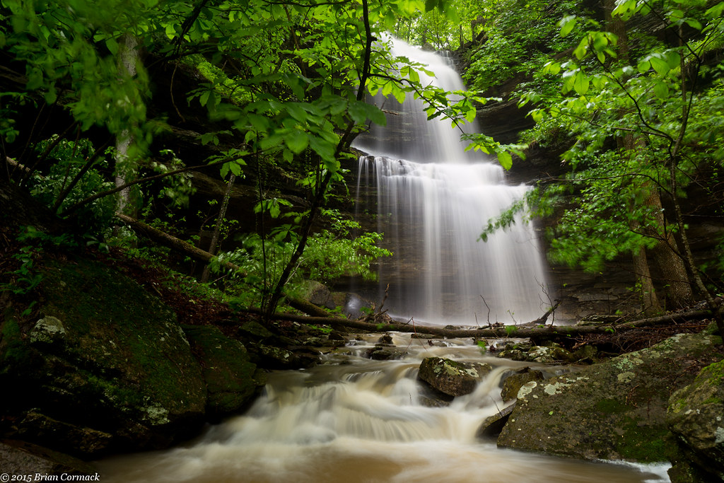
Acord Hollow Falls
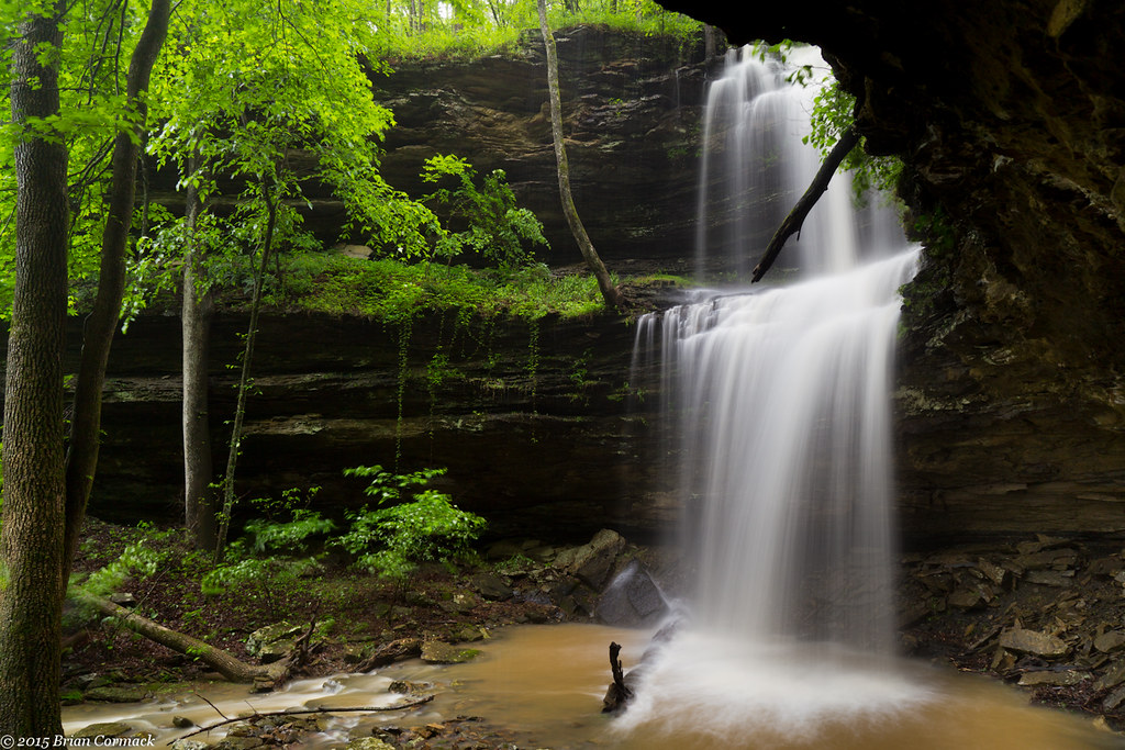
Acord Hollow Falls
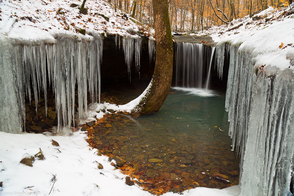
Short Grotto Falls
Acord Hollow
Mulberry River North of Cass, AR

Blue over green

Creek under Highway 103
High Bank Twins creek

Under The Bluff
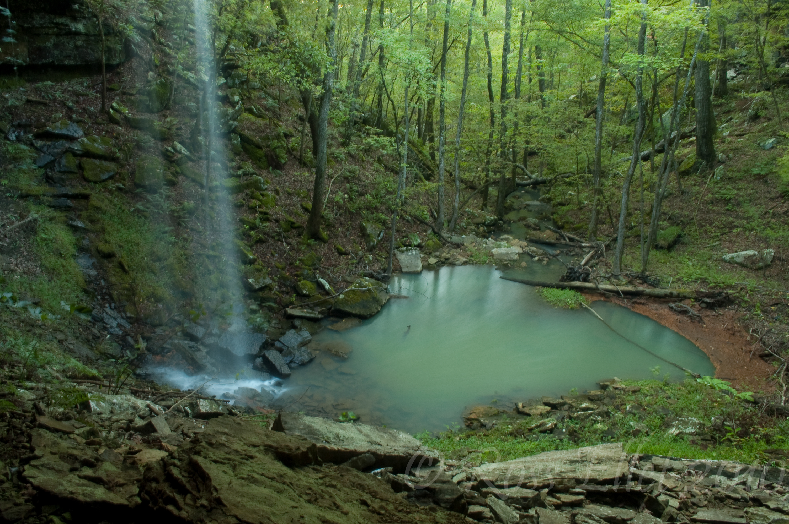
Emerald Pool
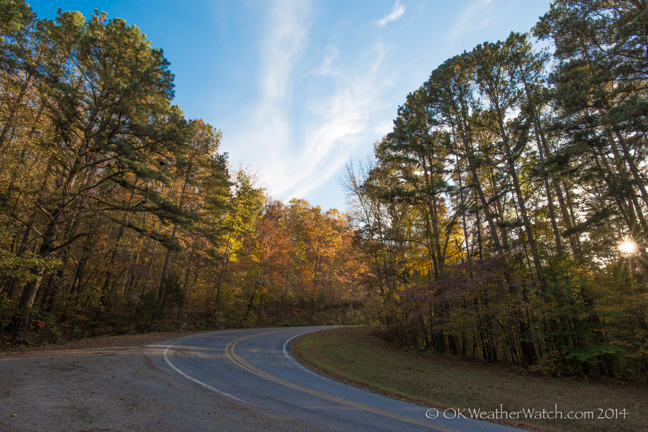
Highway 103

Gated Bingham Hollow Falls

Bingham Hollow
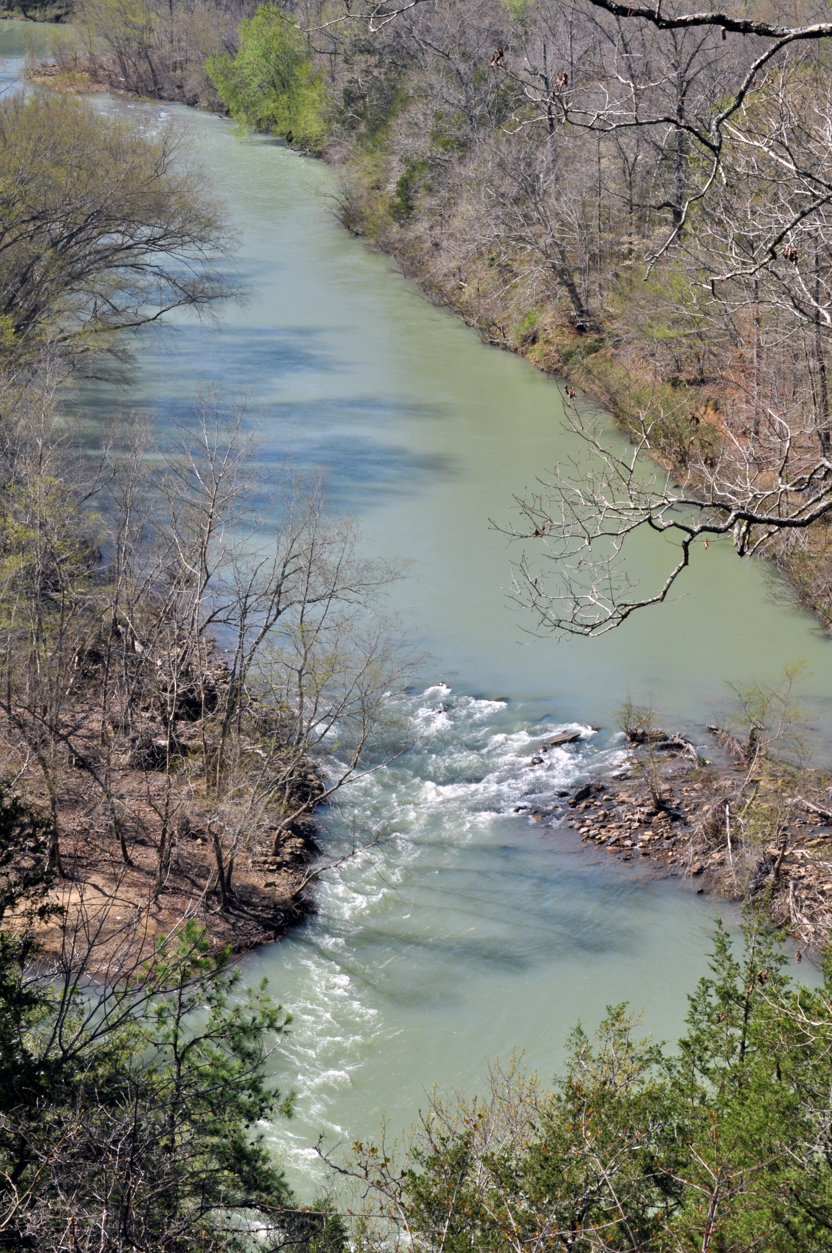
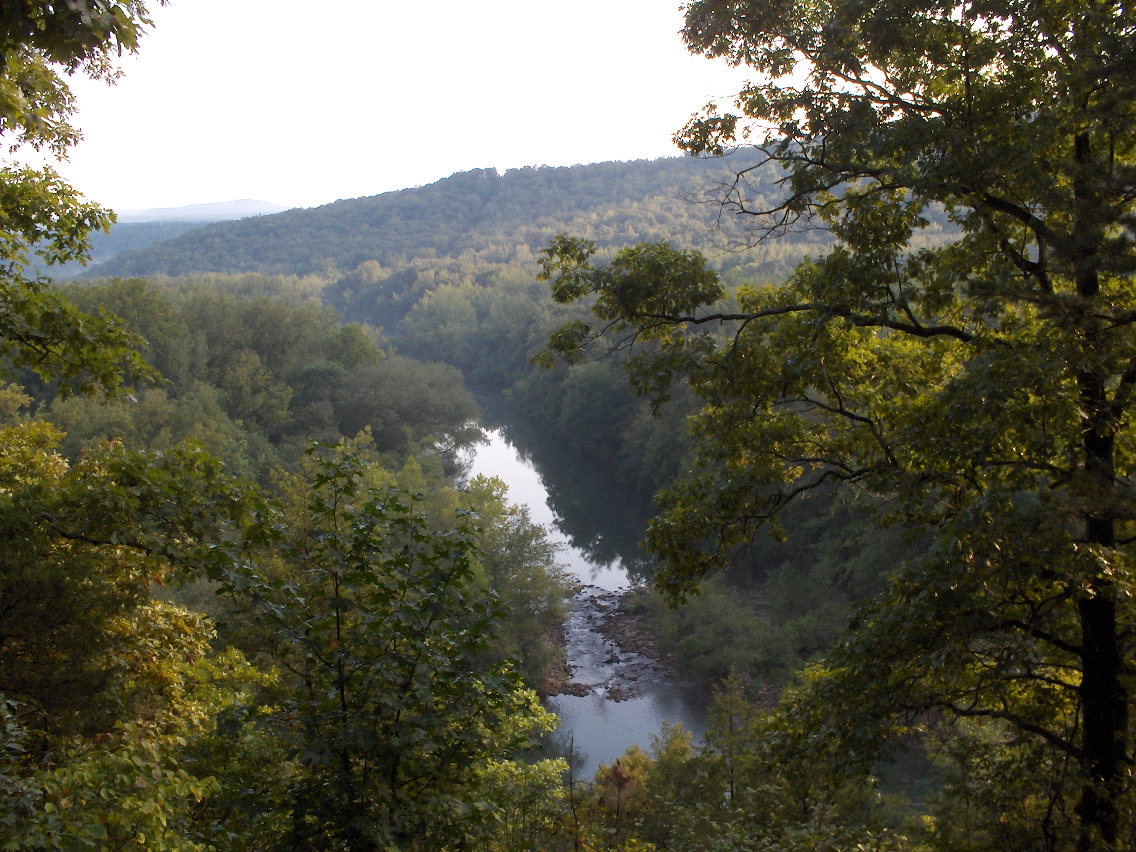
Mulberry River
Waterfalls // Grilled Cheese
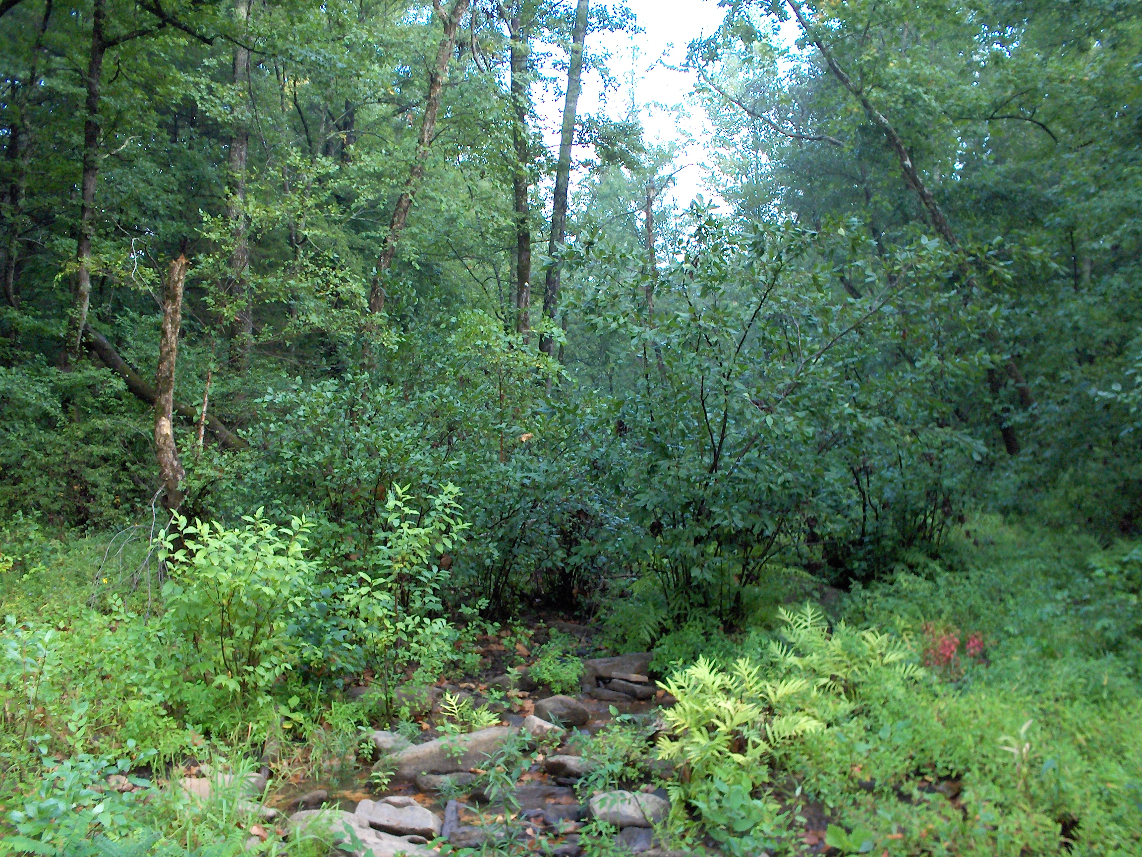
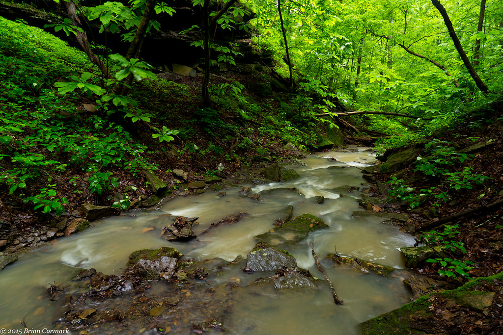
Overgrown Creek

Spy Rock Overlook
Topographic Map of Co Rd, Pettigrew, AR, USA
Find elevation by address:

Places near Co Rd, Pettigrew, AR, USA:
Dickerson-hill Township
1047 Co Rd 5099
1047 Co Rd 5099
Oark
1444 Madison 4685
299 Madison 4310
2162 Madison 4845
Garrett Mountain
Pettigrew
AR-16, Pettigrew, AR, USA
Co Rd, Ozone, AR, USA
970 Madison 3700
Madison, St Paul, AR, USA
Boston
26504 Ar-16
Kentucky Township
100 Co Rd 3259
Boston Township
West Cobb
Hilburn Township
Recent Searches:
- Elevation of Warwick, RI, USA
- Elevation of Fern Rd, Whitmore, CA, USA
- Elevation of 62 Abbey St, Marshfield, MA, USA
- Elevation of Fernwood, Bradenton, FL, USA
- Elevation of Felindre, Swansea SA5 7LU, UK
- Elevation of Leyte Industrial Development Estate, Isabel, Leyte, Philippines
- Elevation of W Granada St, Tampa, FL, USA
- Elevation of Pykes Down, Ivybridge PL21 0BY, UK
- Elevation of Jalan Senandin, Lutong, Miri, Sarawak, Malaysia
- Elevation of Bilohirs'k