Elevation of Co Rd, Hull, TX, USA
Location: United States > Texas > Liberty County > Hull >
Longitude: -94.703599
Latitude: 30.262697
Elevation: 30m / 98feet
Barometric Pressure: 101KPa
Elevation Map:
Satellite Map:
Related Photos:

Point Bar on the Trinity River

Wrapping our commercial shoot at The Preserve of Texas @zenfilm #filmlife #filmtexas

Morning light

Spiny orb weaver

The Dark Knight of bugs
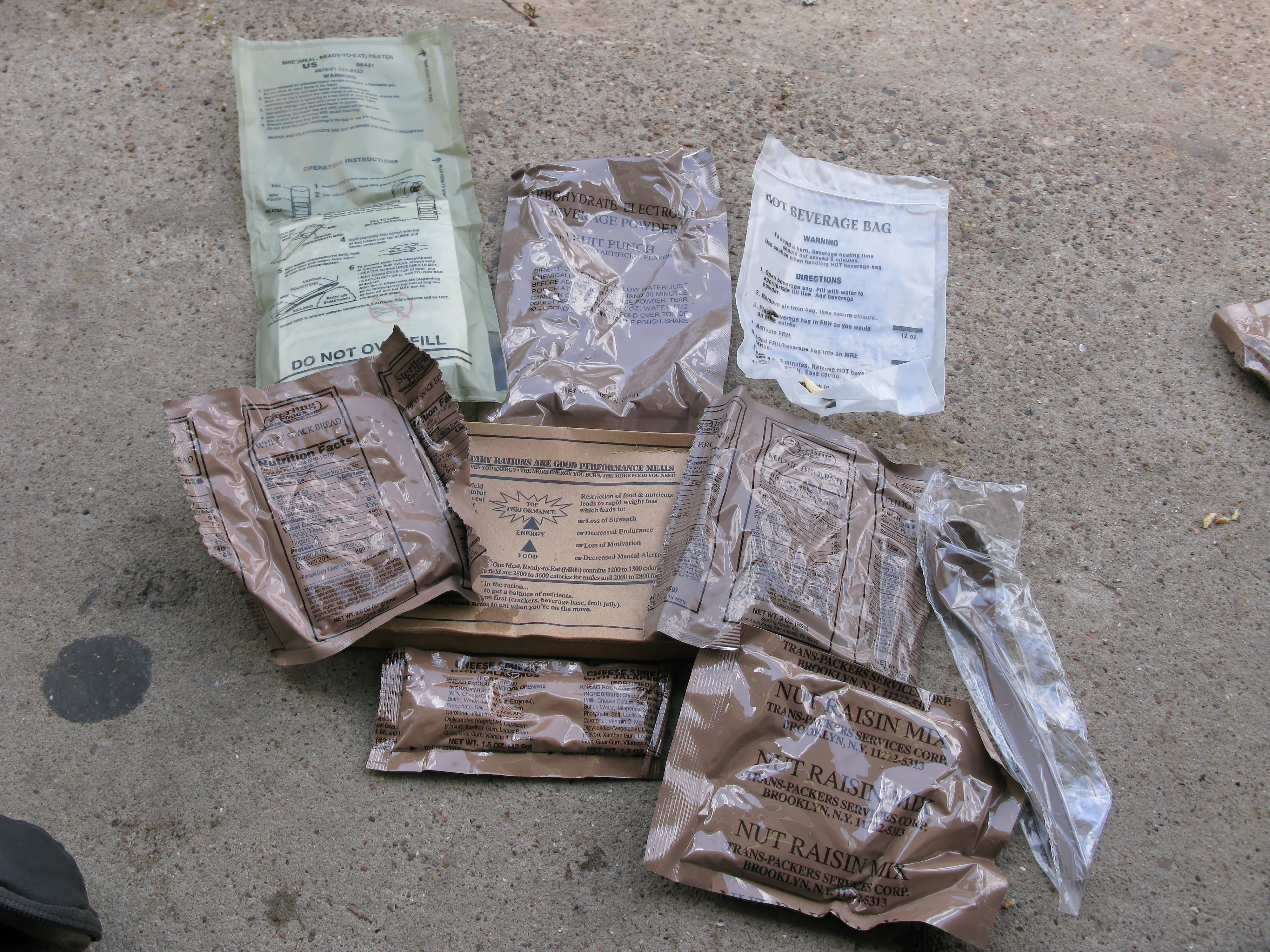
More army Rations!

My high school host parents :-)

My high school host parents

After Hurricane Ike

After Hurricane Ike
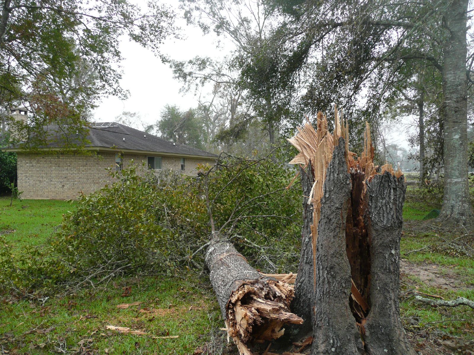
After Hurricane Ike
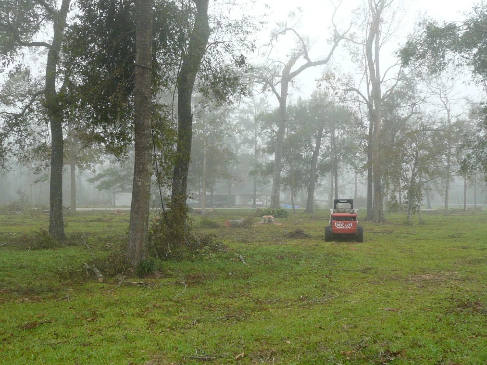
After Hurricane Ike

After Hurricane Ike
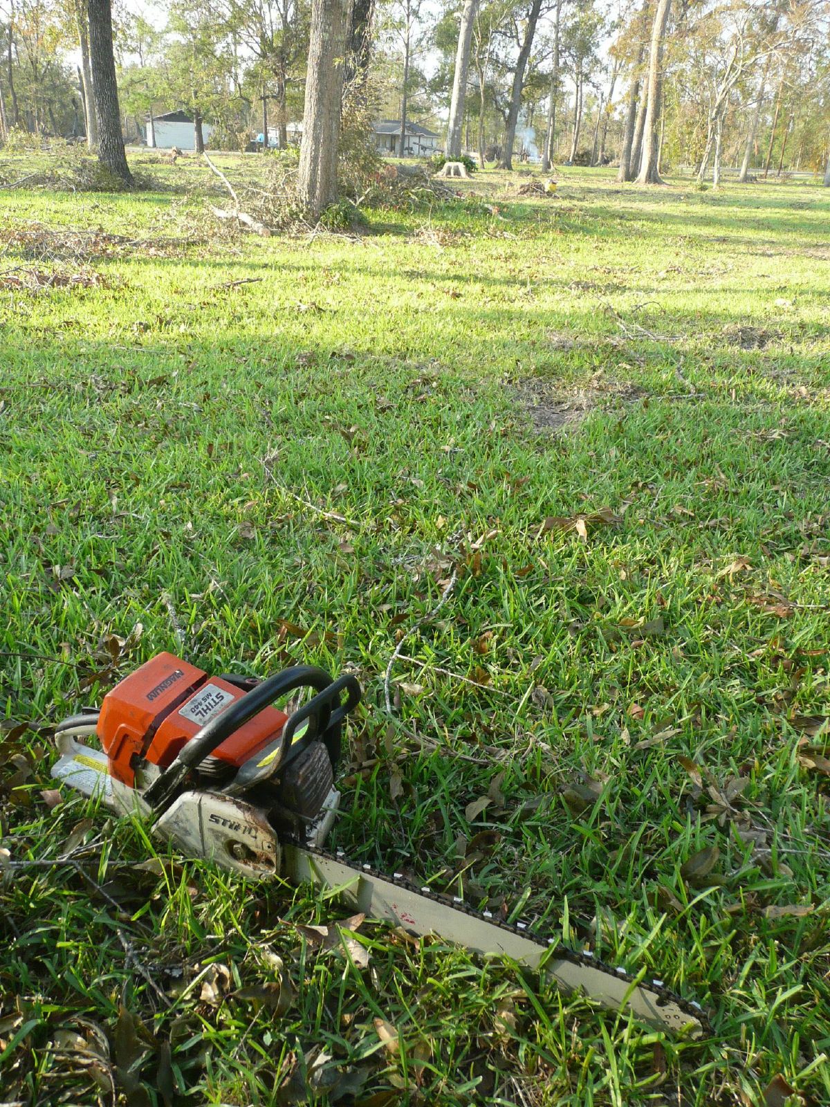
After Hurricane Ike
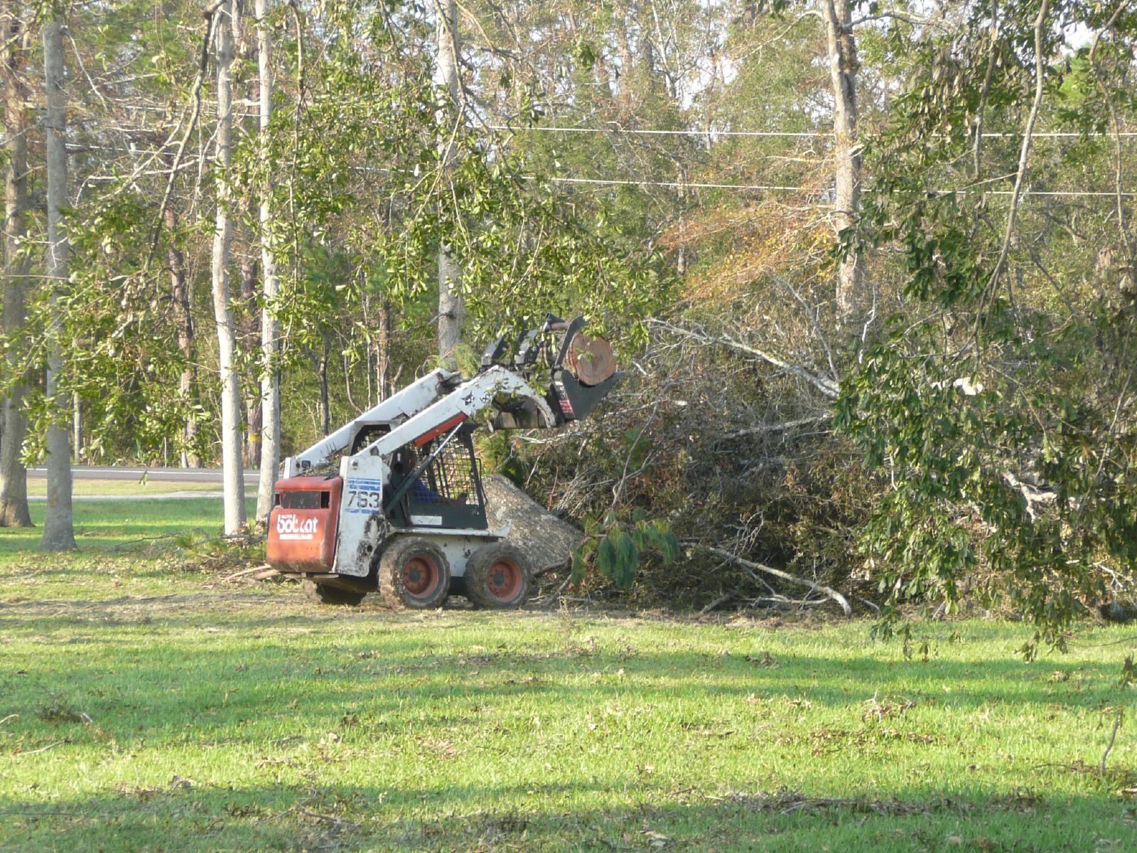
After Hurricane Ike

Marcus in the air

Burette, Paul, and Chris
Off The Back Porch

She read her Bible every day.
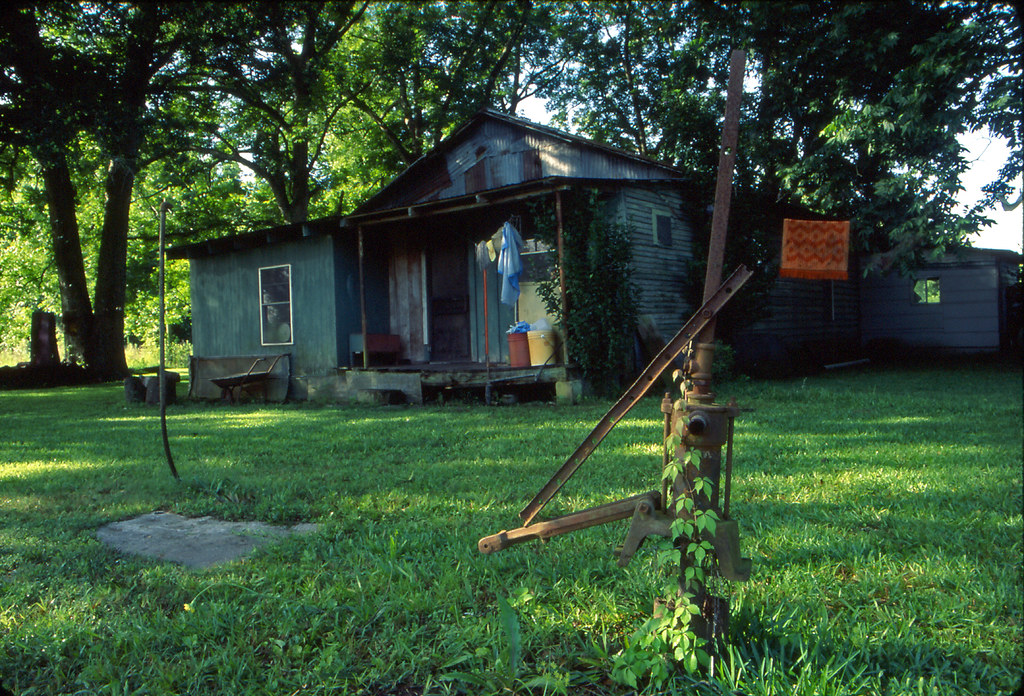
The West House in Batson, Texas
Topographic Map of Co Rd, Hull, TX, USA
Find elevation by address:

Places near Co Rd, Hull, TX, USA:
19333 Tx-146
Co Rd, Hull, TX, USA
County Road 2058
Co Rd, Liberty, TX, USA
Co Rd, Liberty, TX, USA
Co Rd, Hull, TX, USA
553 Co Rd 2106
Co Rd, Liberty, TX, USA
1116 Co Rd 2016
County Road 2500
Hardin
Hull
Liberty County
Co Rd, Liberty, TX, USA
West Oak
West Oak
Daisetta
Texas, Daisetta, TX, USA
TX-, Cleveland, TX, USA
4017 Hillcrest St
Recent Searches:
- Elevation of 4 Vale Rd, Sheffield S3 9QX, UK
- Elevation of Keene Point Drive, Keene Point Dr, Grant, AL, USA
- Elevation of State St, Zanesville, OH, USA
- Elevation of Austin Stone Dr, Haslet, TX, USA
- Elevation of Bydgoszcz, Poland
- Elevation of Bydgoszcz, Poland
- Elevation of Calais Dr, Del Mar, CA, USA
- Elevation of Placer Mine Ln, West Jordan, UT, USA
- Elevation of E 63rd St, New York, NY, USA
- Elevation of Elk City, OK, USA