Elevation of Co Hwy S27, Radcliffe, IA, USA
Location: United States > Iowa > Hardin County > Concord >
Longitude: -93.395843
Latitude: 42.24516
Elevation: 368m / 1207feet
Barometric Pressure: 97KPa
Elevation Map:
Satellite Map:
Related Photos:
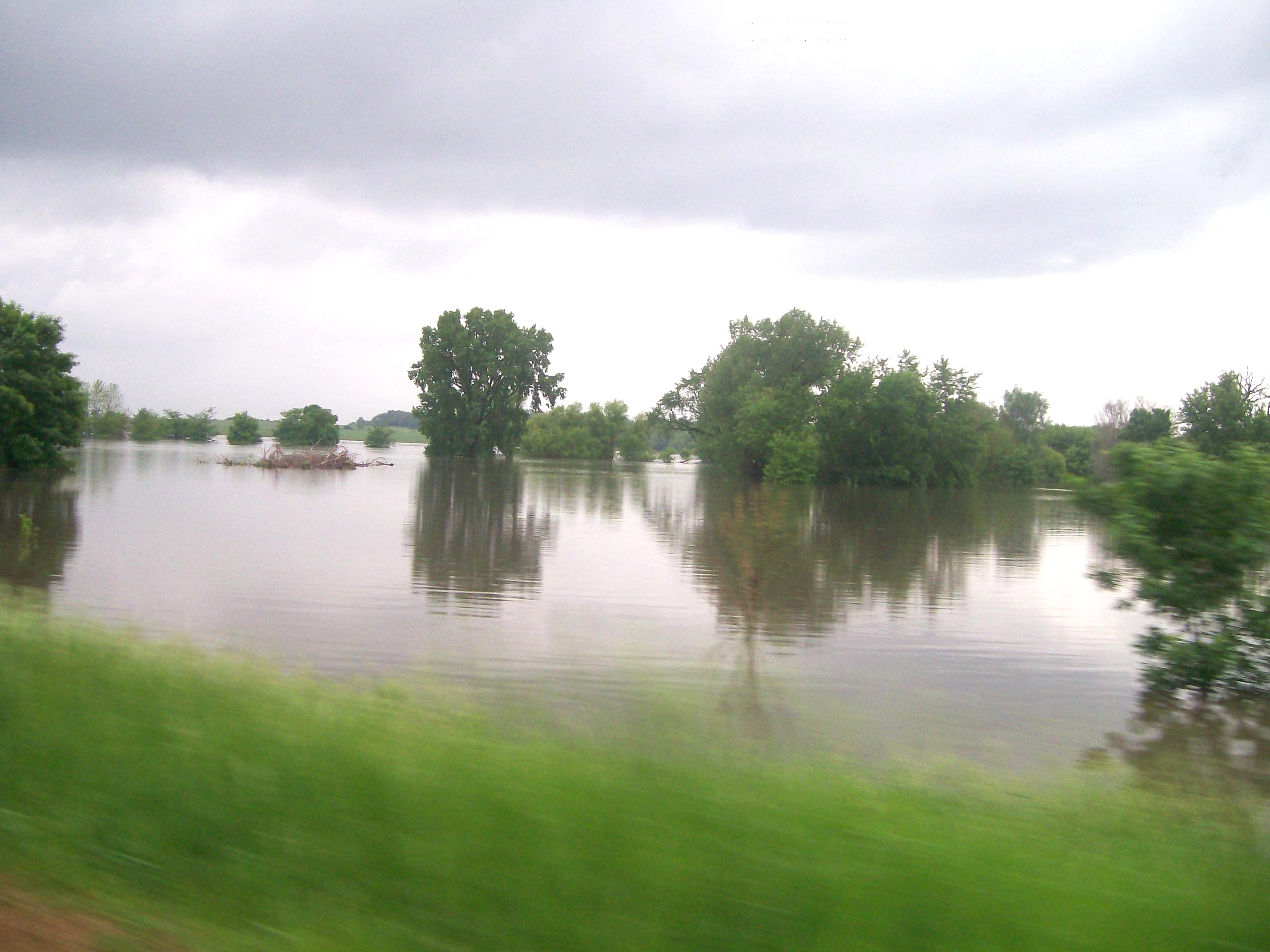
Skunk River Flooding Randall, IA
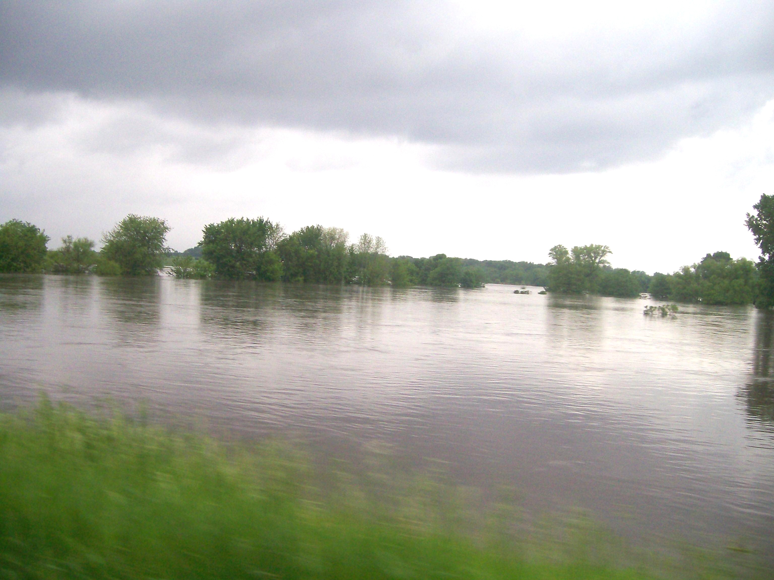
Skunk River Flooding near Randall, IA
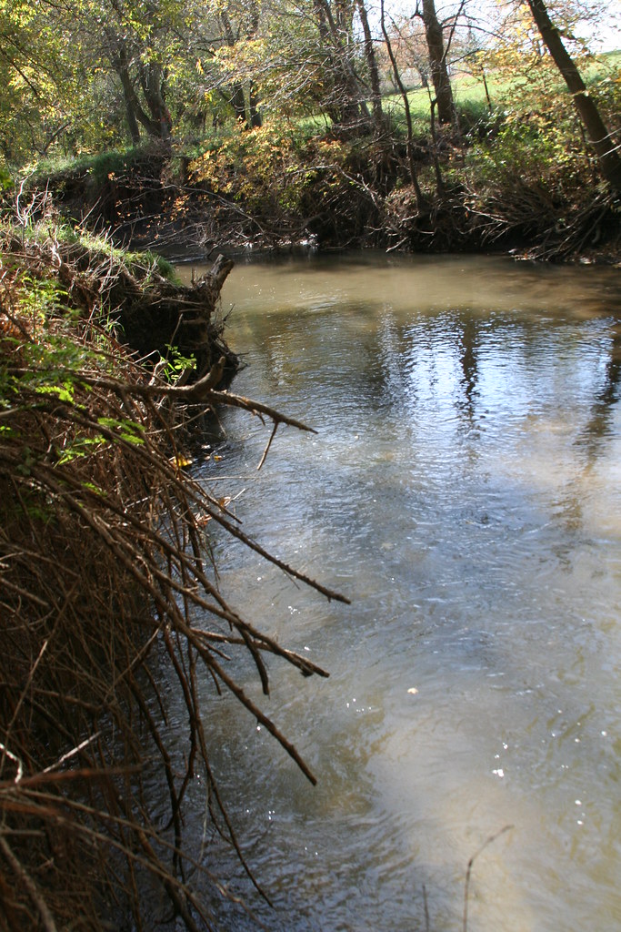
Roland, Iowa

Garden City
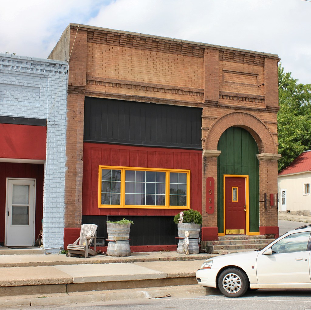
Downtown Building - Zearing, IA
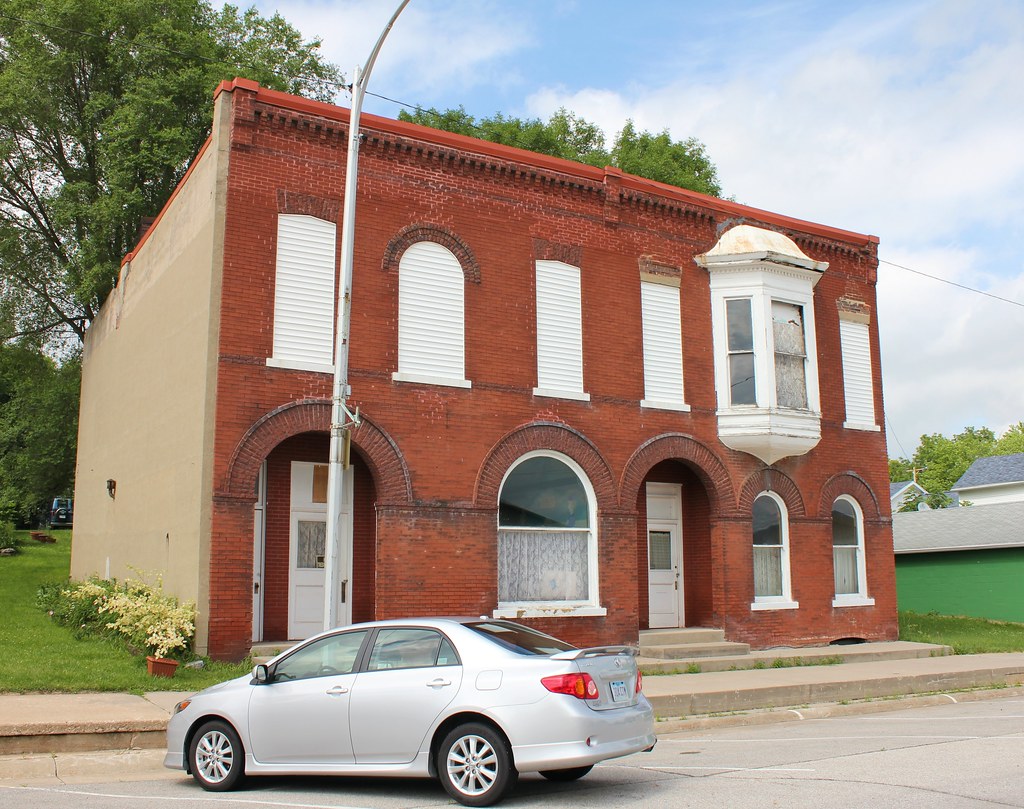
Downtown Building - Zearing, IA
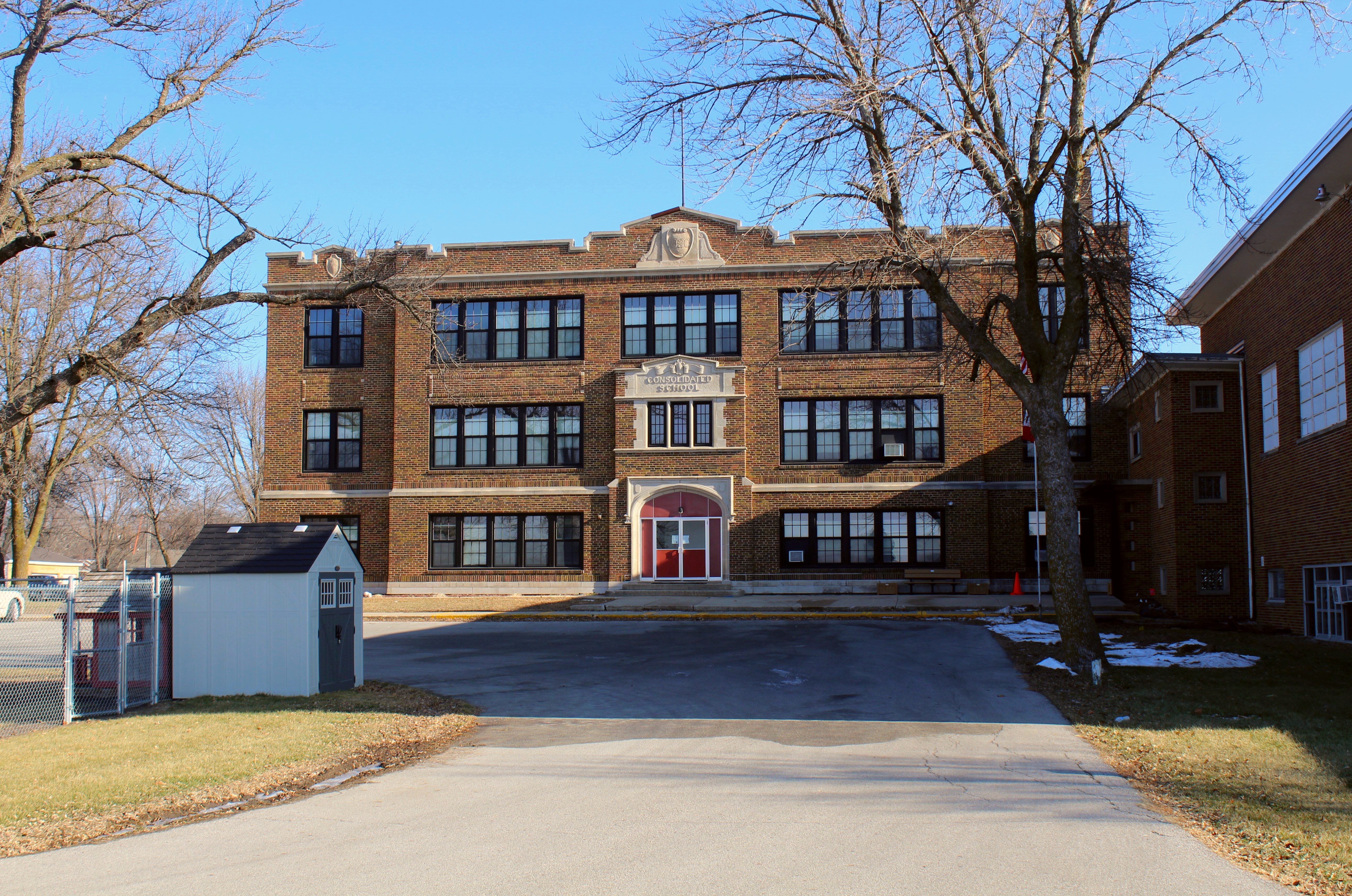
McCallsburg, Iowa, School

My Biocube 14 Marine Aquarium
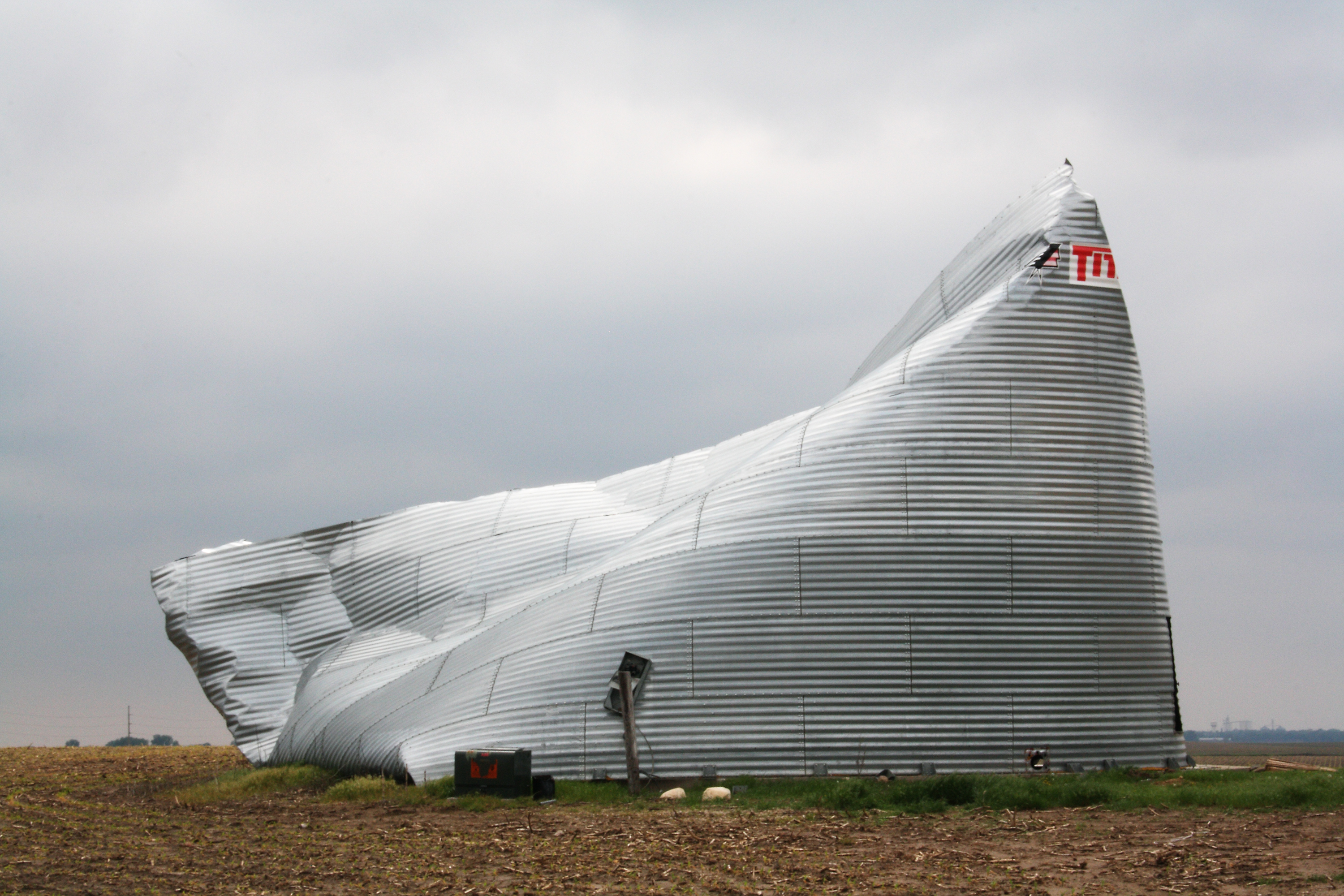
Crushed Bin
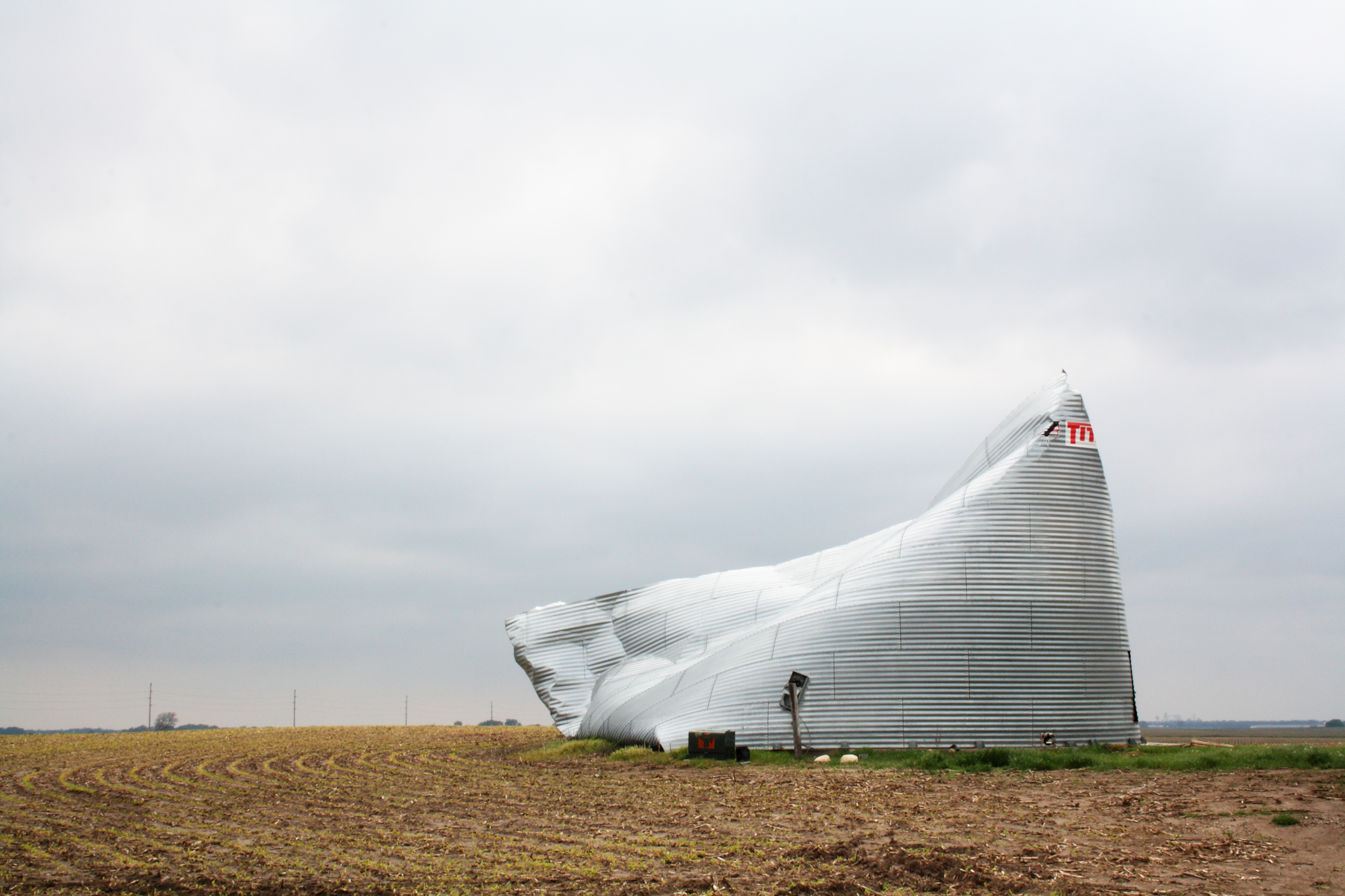
Crushed Bin
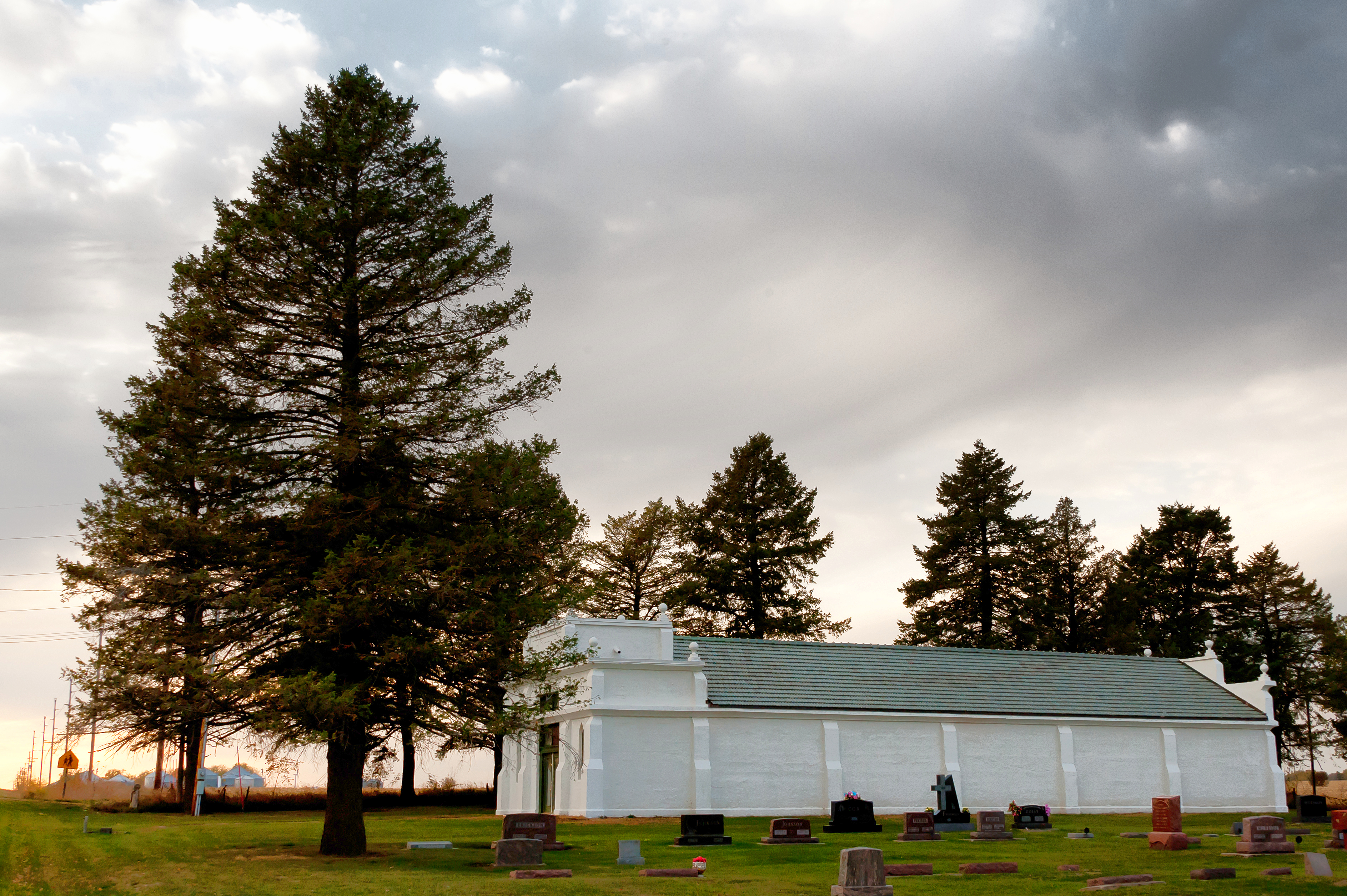
Lincoln Township Mausoleum, Zearing, Iowa
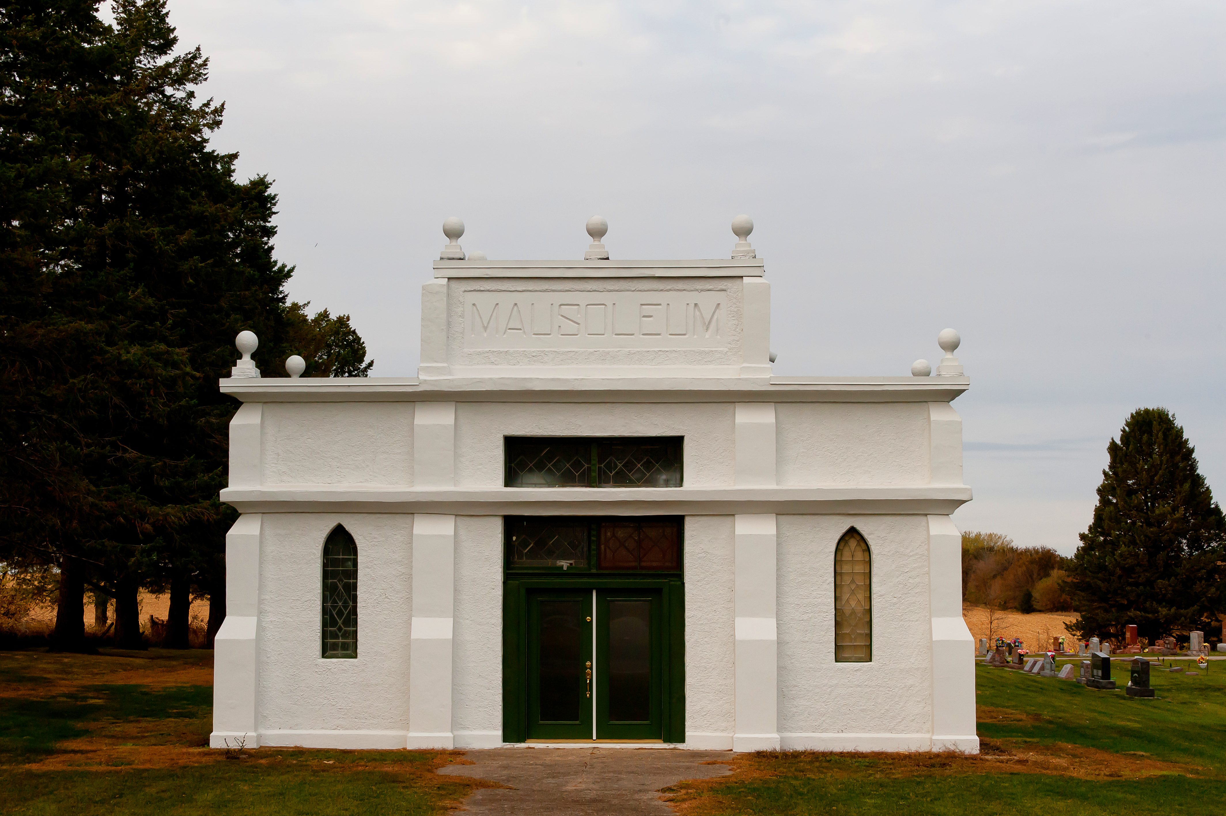
Lincoln Township Mausoleum, Zearing, Iowa
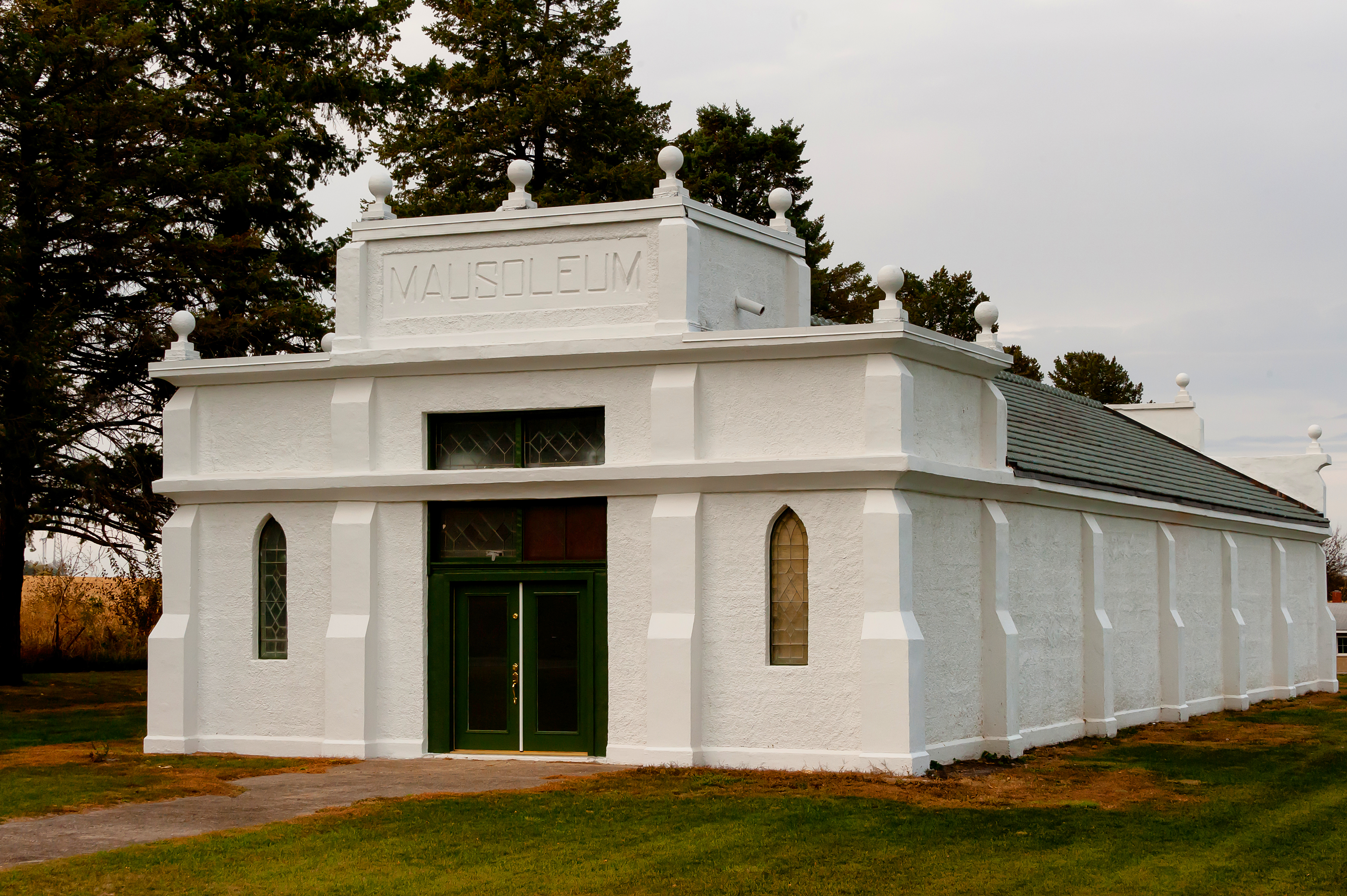
Lincoln Township Mausoleum, Zearing, Iowa
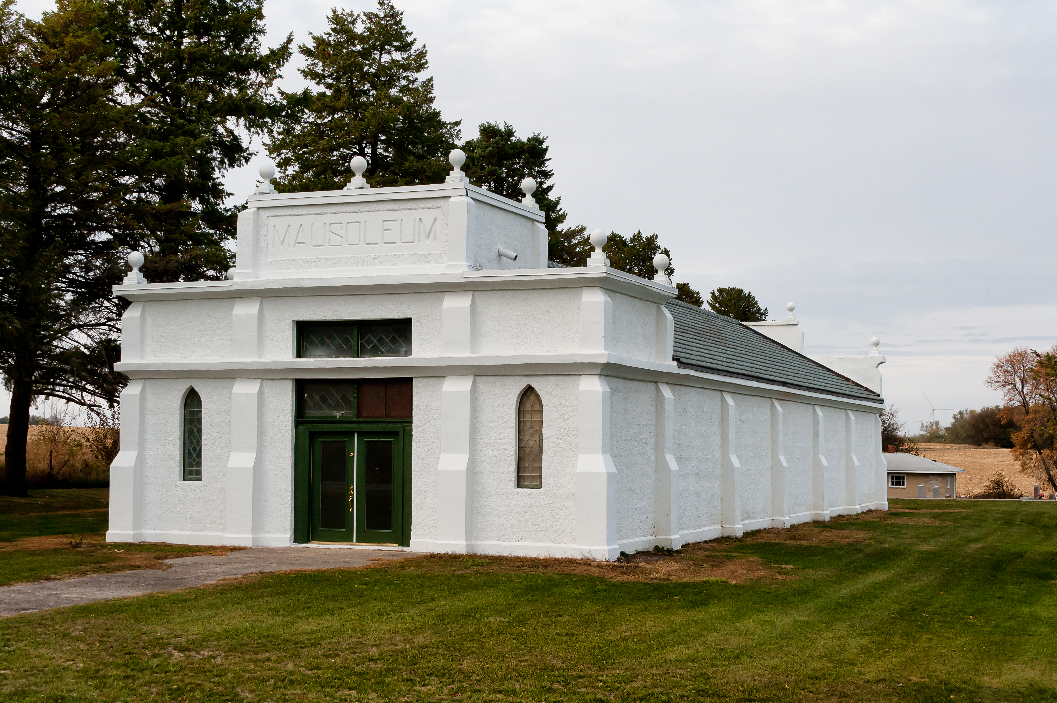
Lincoln Township Mausoleum, Zearing, Iowa
McCallsburg, IA
up s 3356garden

prairie landsw1b
Prairie Land Co-Op

Deb and sky
UP 2189 Gardan City
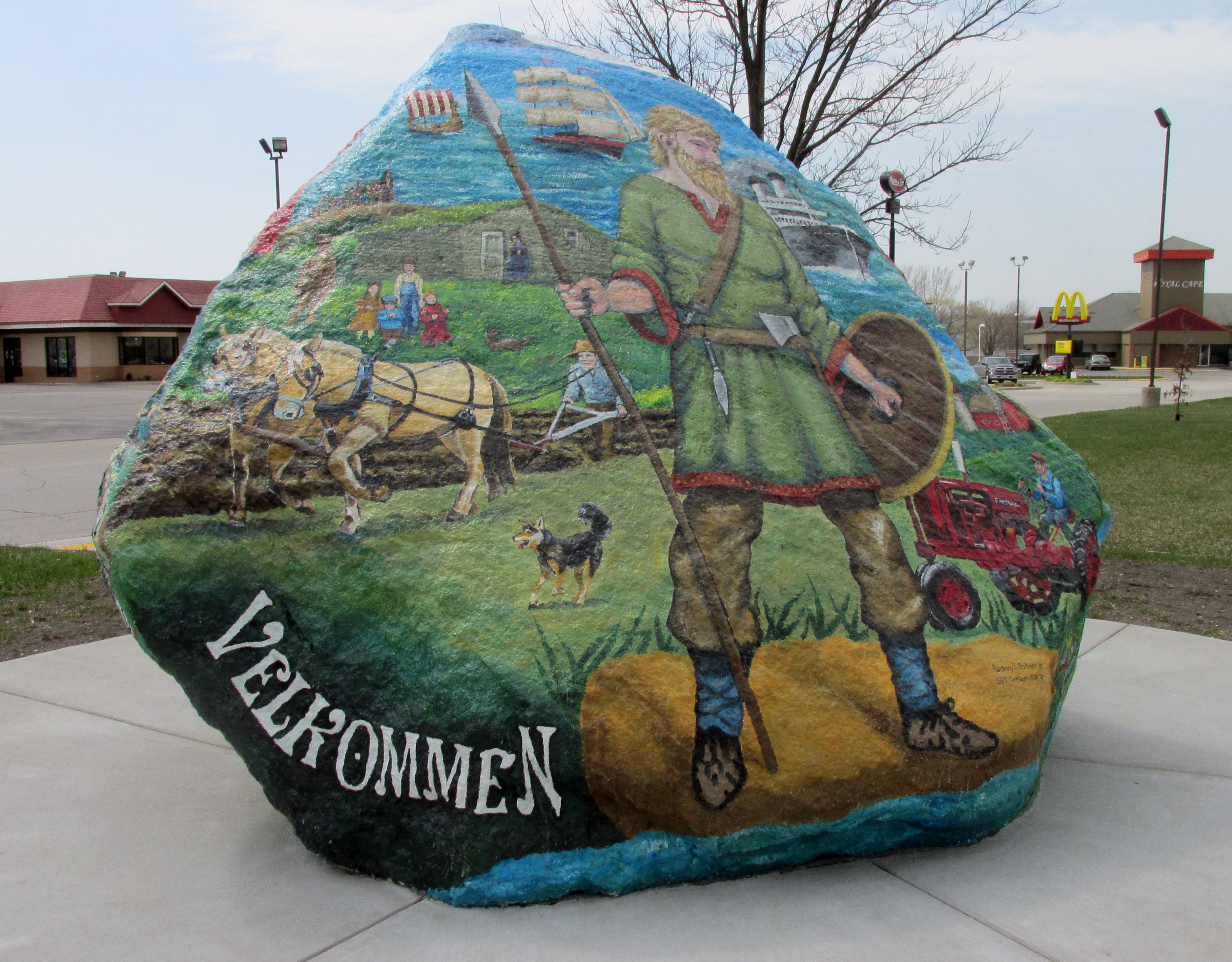
Story City, Iowa Rock

Corn Inspection
John Karras
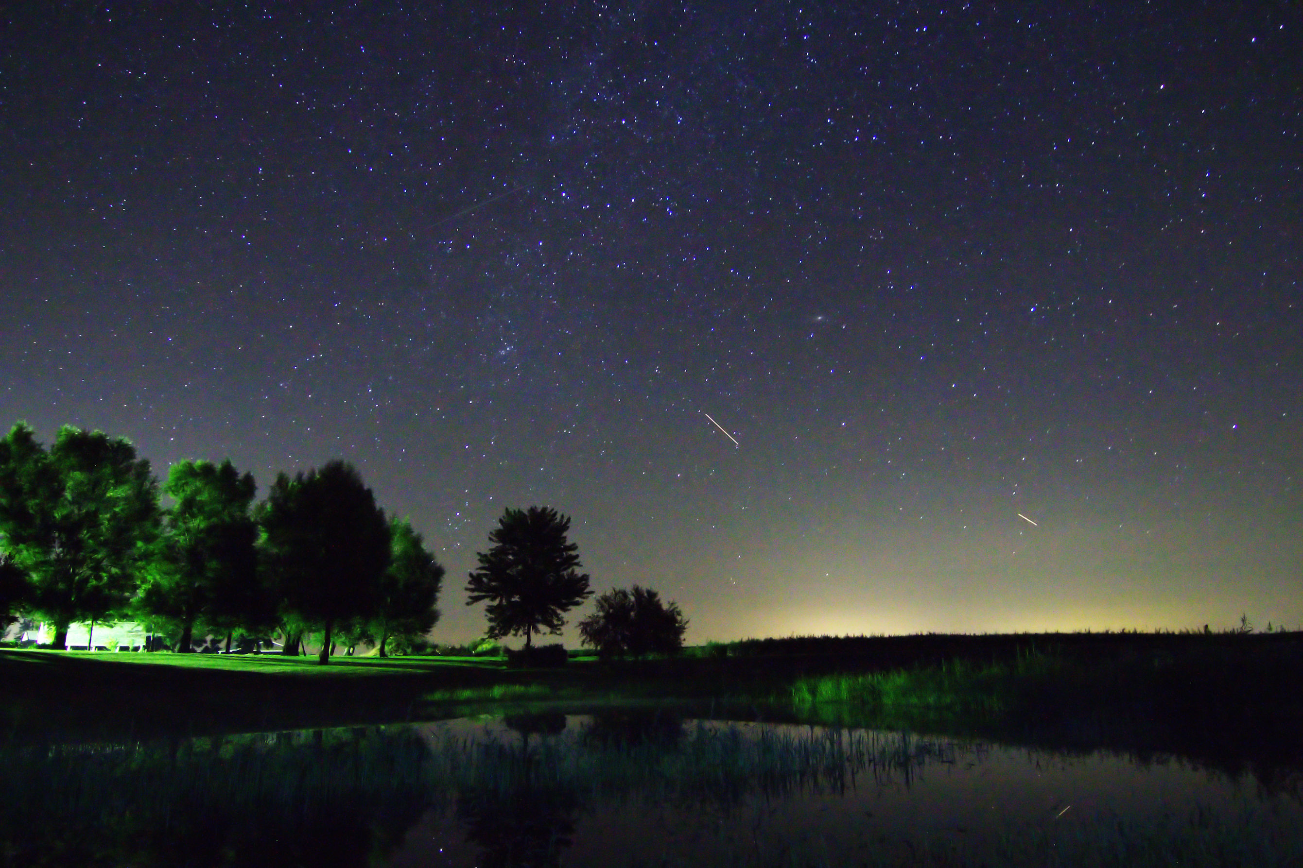
Starry Night Sky
Topographic Map of Co Hwy S27, Radcliffe, IA, USA
Find elevation by address:

Places near Co Hwy S27, Radcliffe, IA, USA:
Concord
W Maple St, Hubbard, IA, USA
Hubbard
Tipton
Ellsworth
2nd St, Randall, IA, USA
3501 Tollman Ave
Oo Ave, Eldora, IA, USA
Ellis
th St, Iowa Falls, IA, USA
Ellsworth
Jewell
Little Wall Lake Rd, Jewell, IA, USA
Pleasant
Buckeye, IA, USA
Alden
Alden
Water St, Alden, IA, USA
Main St, Williams, IA, USA
Hardin County
Recent Searches:
- Elevation of 高尾山口駅, Takaomachi, Hachioji, Tokyo -, Japan
- Elevation of 15 Victory Ave, Greenville, SC, USA
- Elevation of Kota Ternate Utara, Ternate City, North Maluku, Indonesia
- Elevation of Allon St, Oceanside, NY, USA
- Elevation of Carroll Creek Rd, Custer, SD, USA
- Elevation of Lust Road, Lust Rd, Florida, USA
- Elevation of Pleasant Valley Rd NW, Adairsville, GA, USA
- Elevation of Općina Šodolovci, Croatia
- Elevation of Šodolovci, Croatia
- Elevation of Old Clairton Rd, Jefferson Hills, PA, USA