Elevation of Little Wall Lake Rd, Jewell, IA, USA
Location: United States > Iowa > Jewell >
Longitude: -93.639868
Latitude: 42.3079025
Elevation: 325m / 1066feet
Barometric Pressure: 97KPa
Elevation Map:
Satellite Map:
Related Photos:
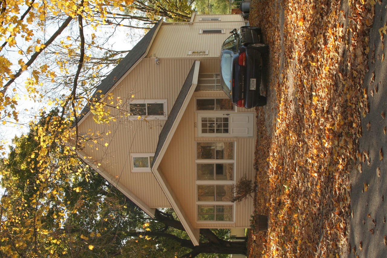
Front view of our home with the new siding and soffits
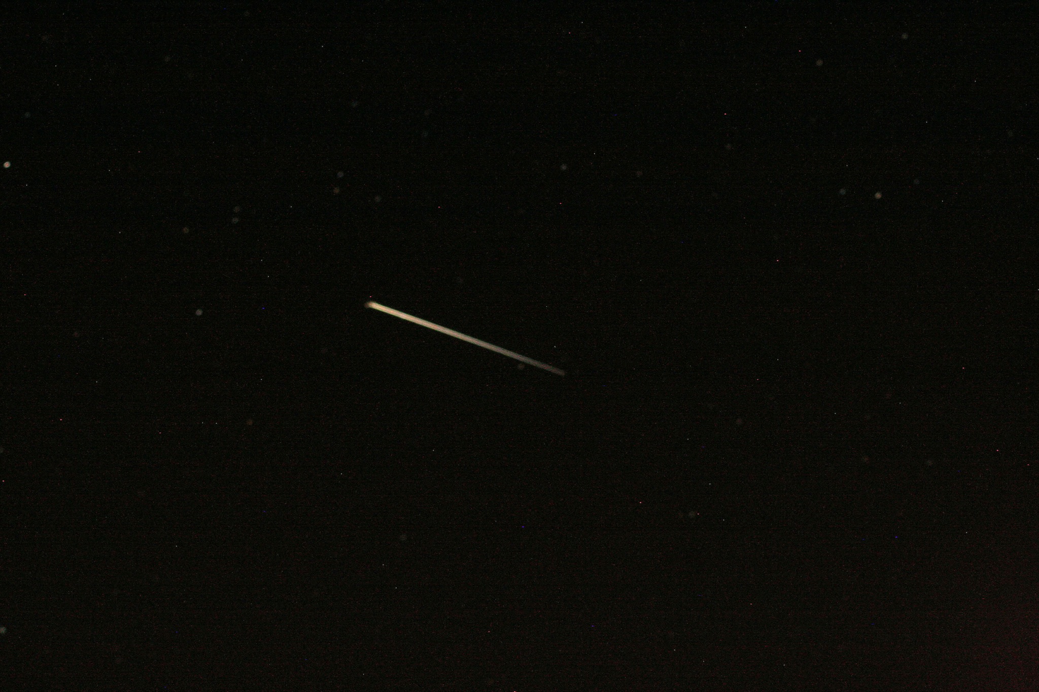
International Space Station
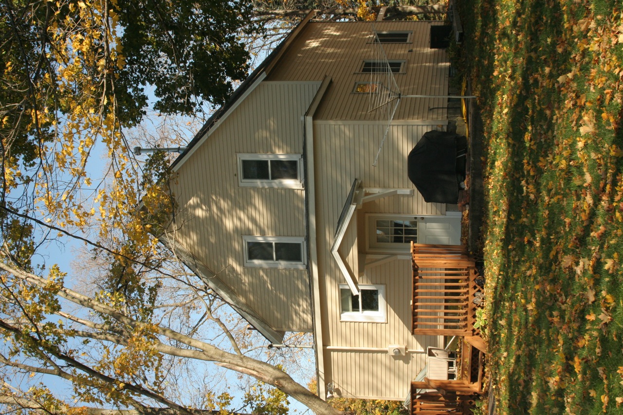
Back view of our home with the new siding and soffits
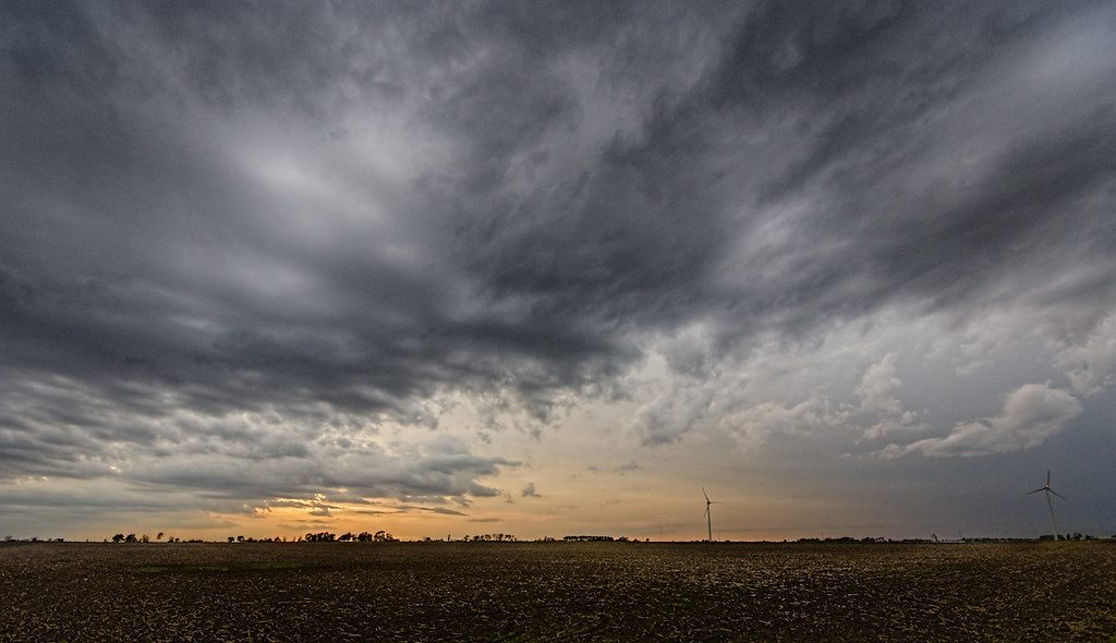
Sunset on the Prairie
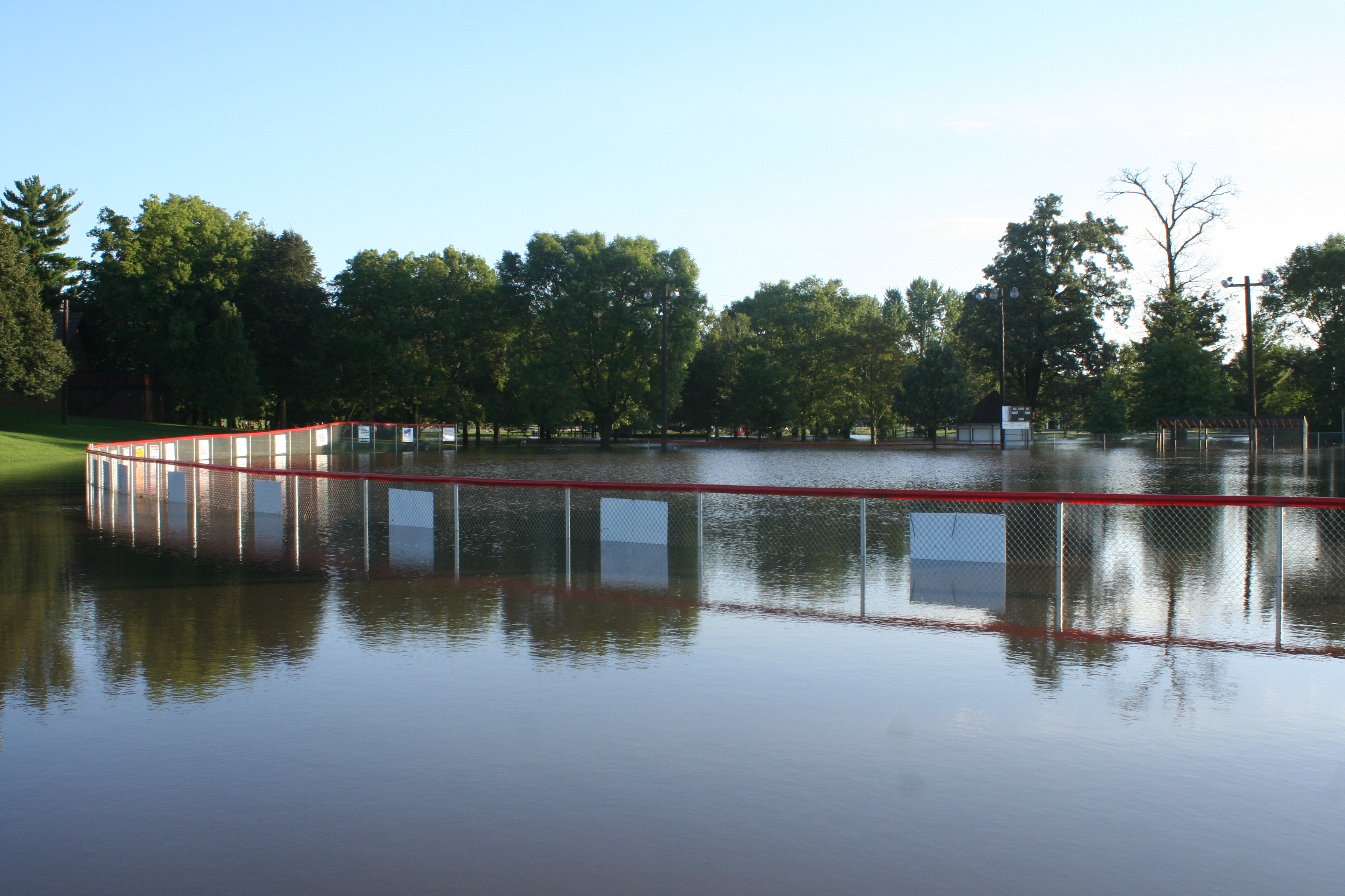
River Bend 9th Hole Flooded
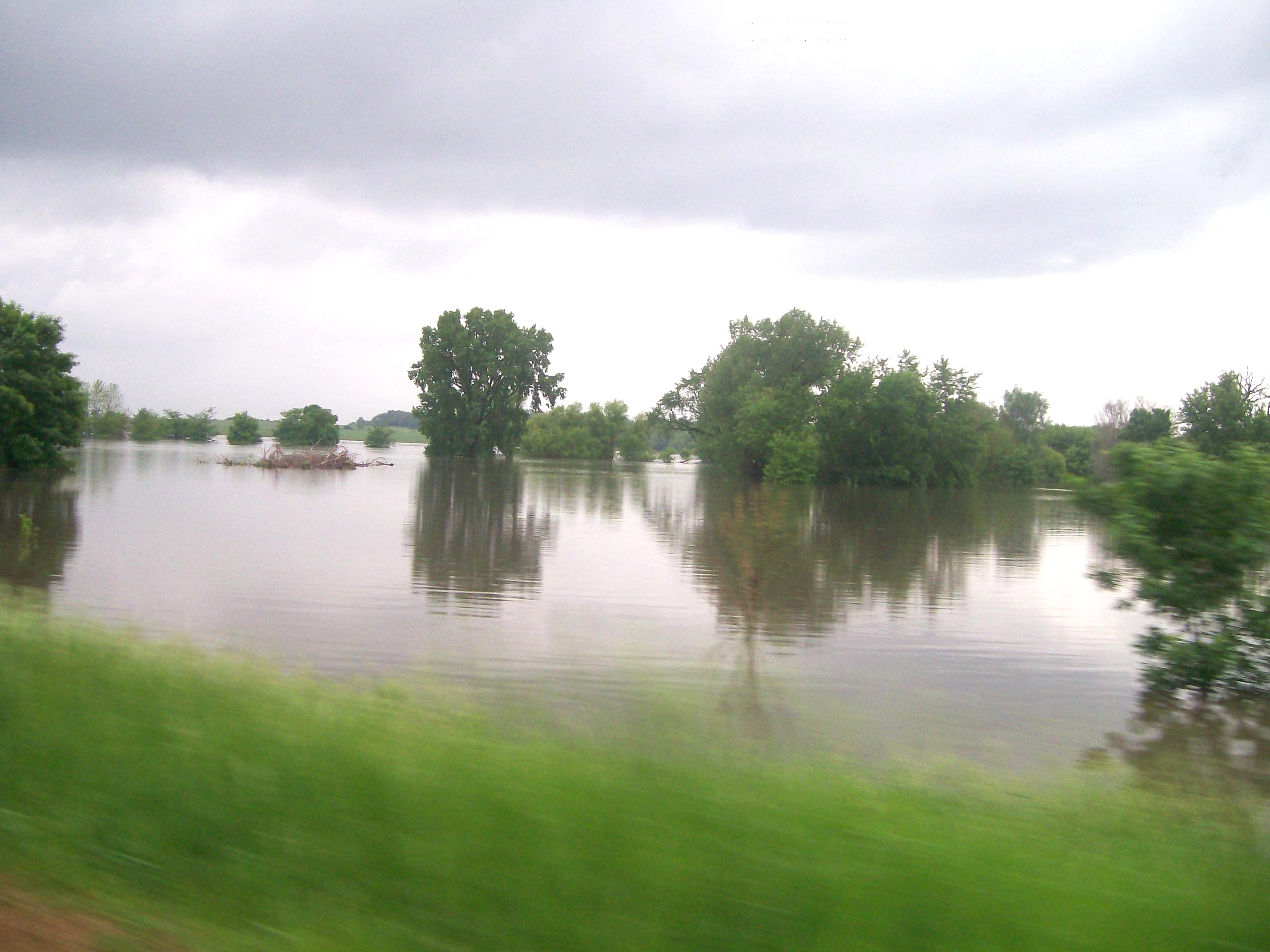
Skunk River Flooding Randall, IA
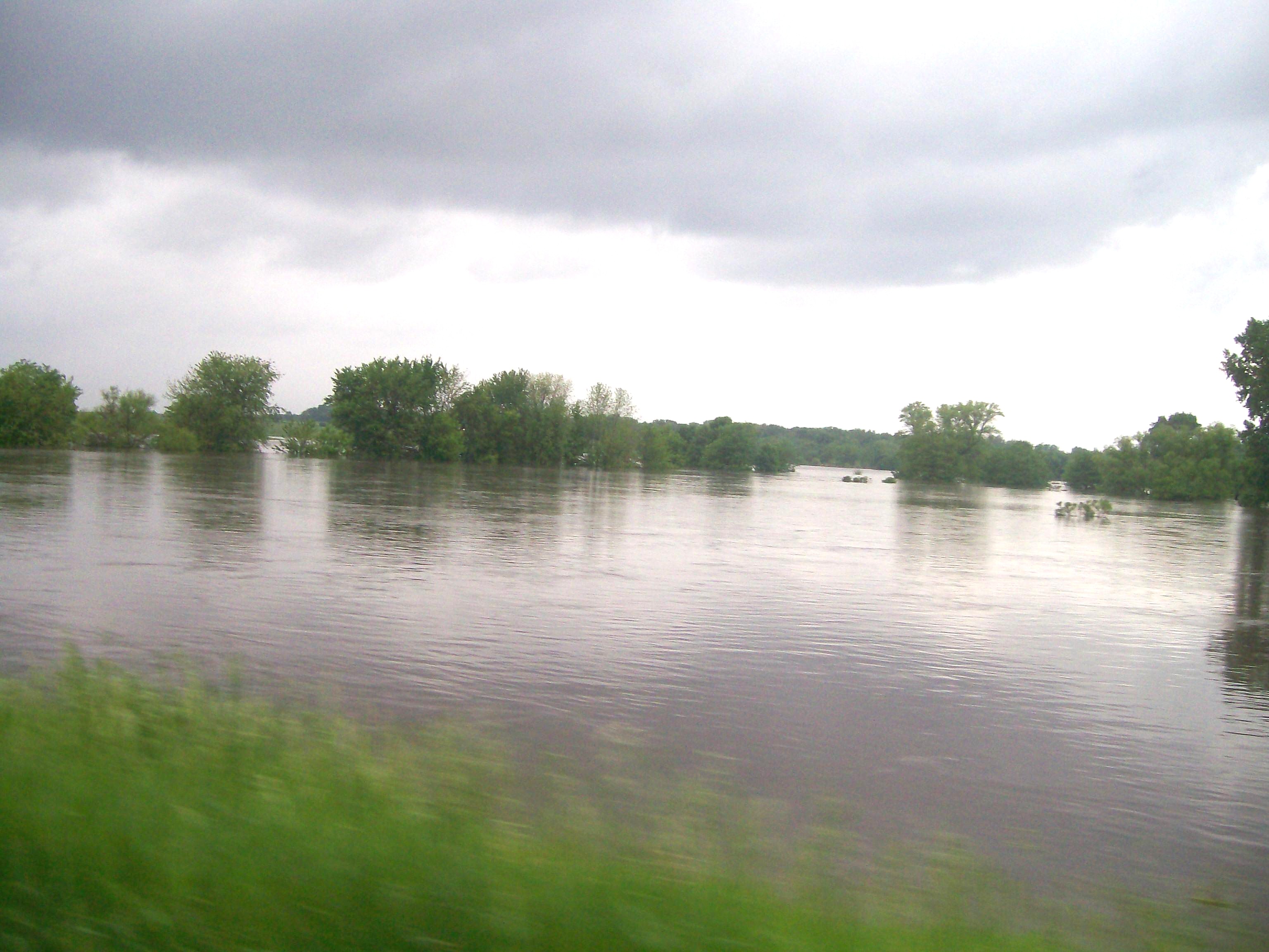
Skunk River Flooding near Randall, IA
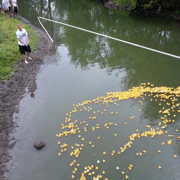
Go Six Quack Go!
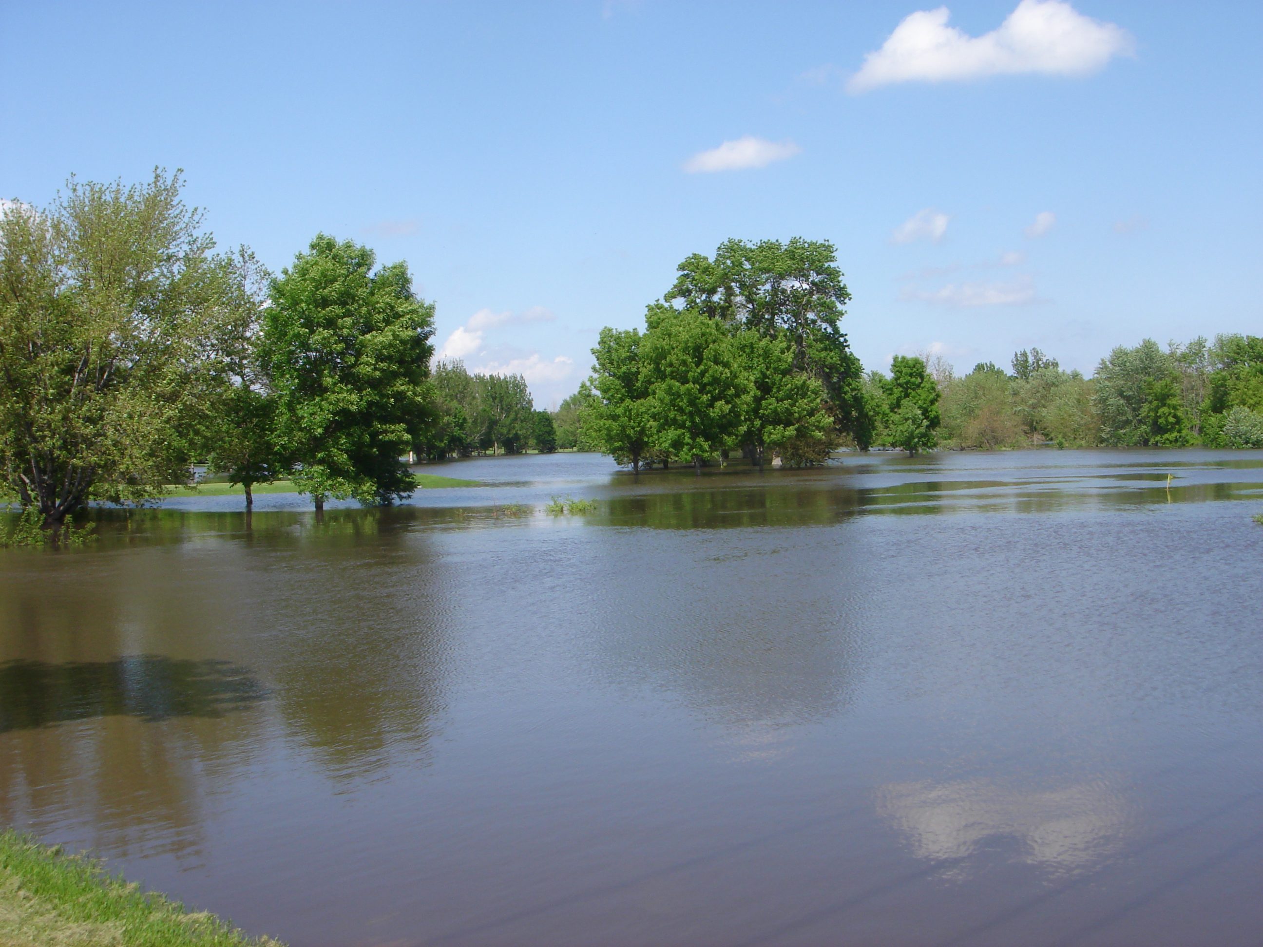
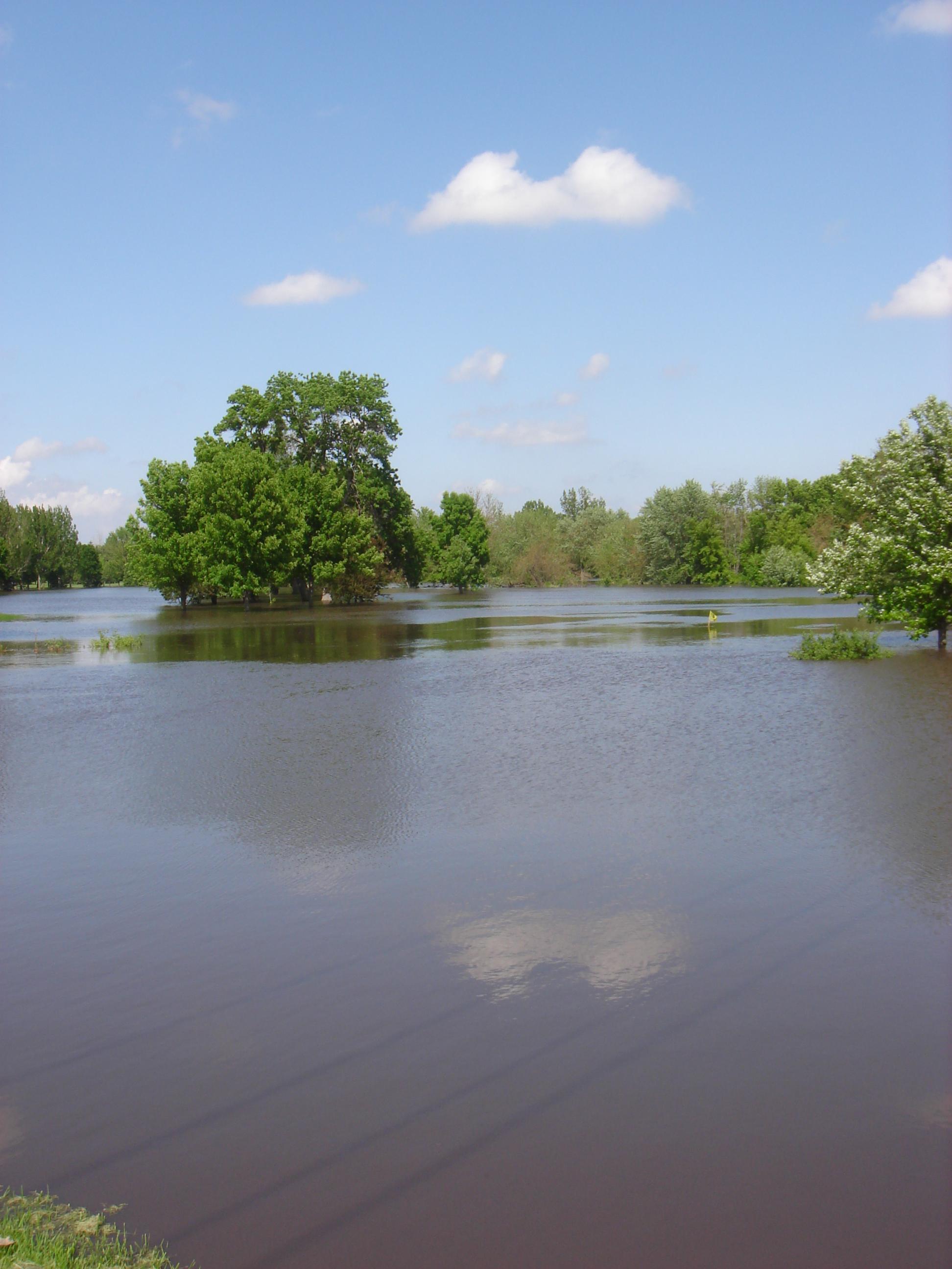
River Bend Golf Course Flooded
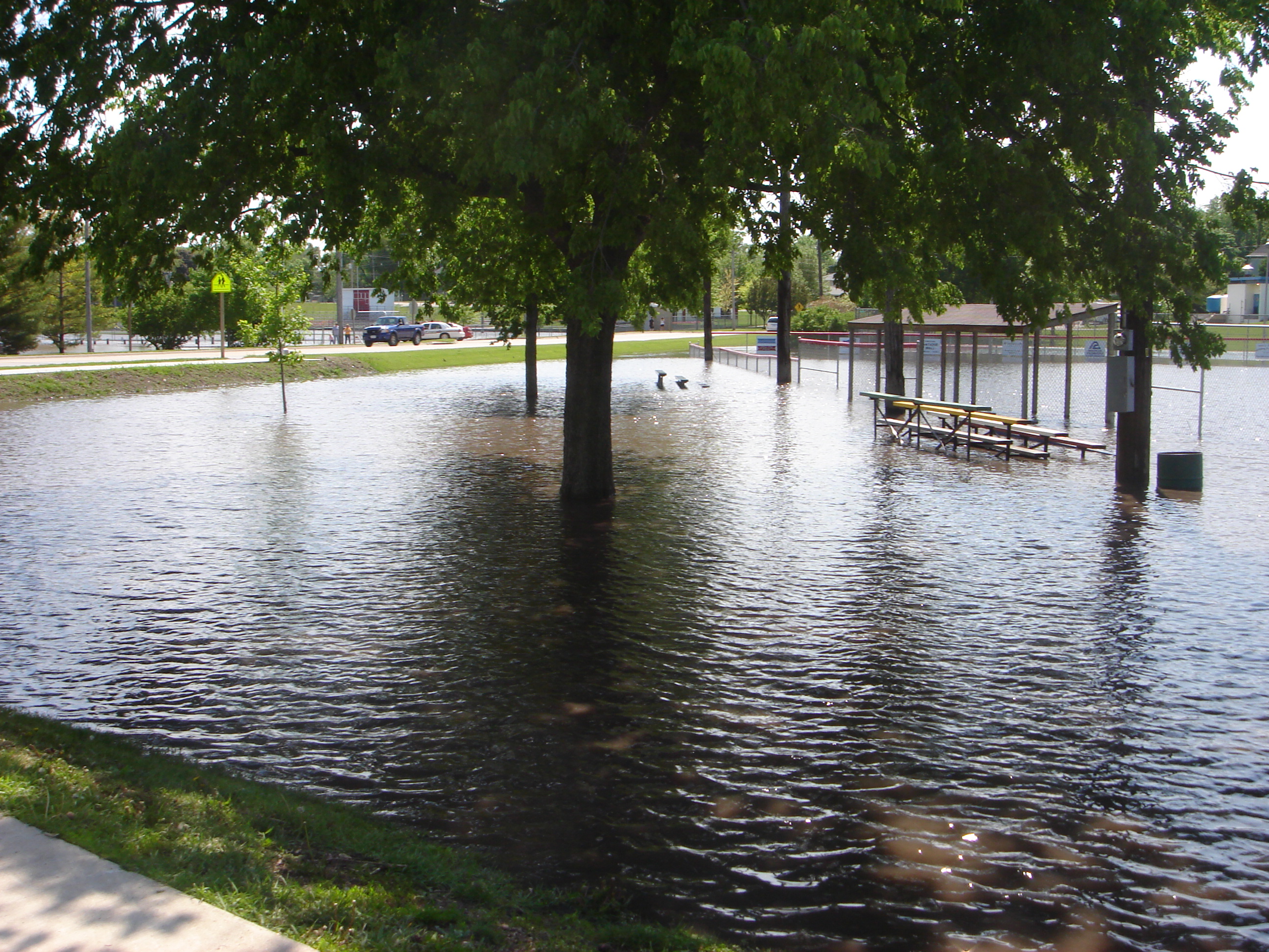
Flooded baseball field in Story City

Broad Street Bridge
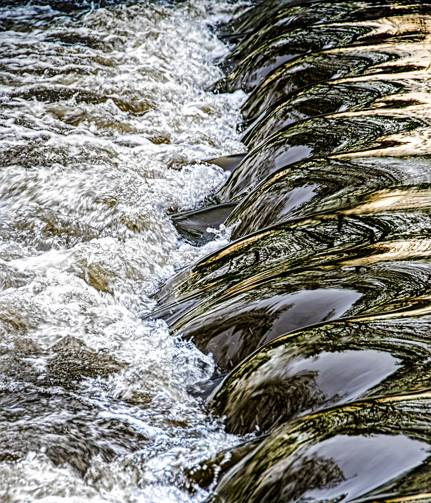
Waterfall Abstract
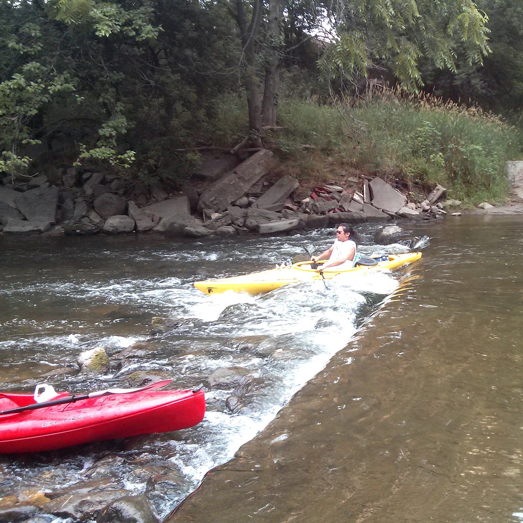
Nathan rolls over the road dam
Ball Diamond
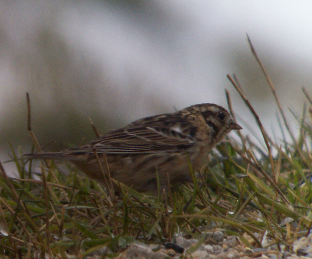
Smith's Longspur (Calcarius pictus)
Chuck nails it
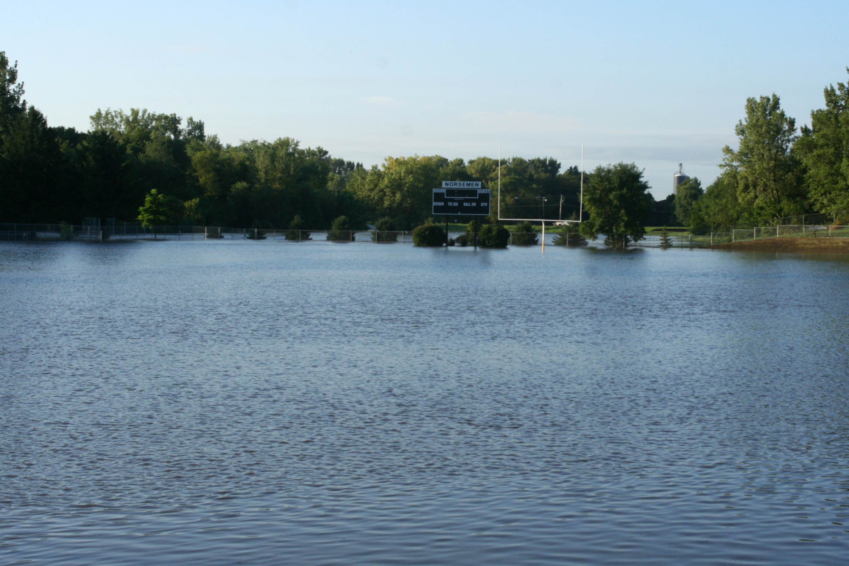
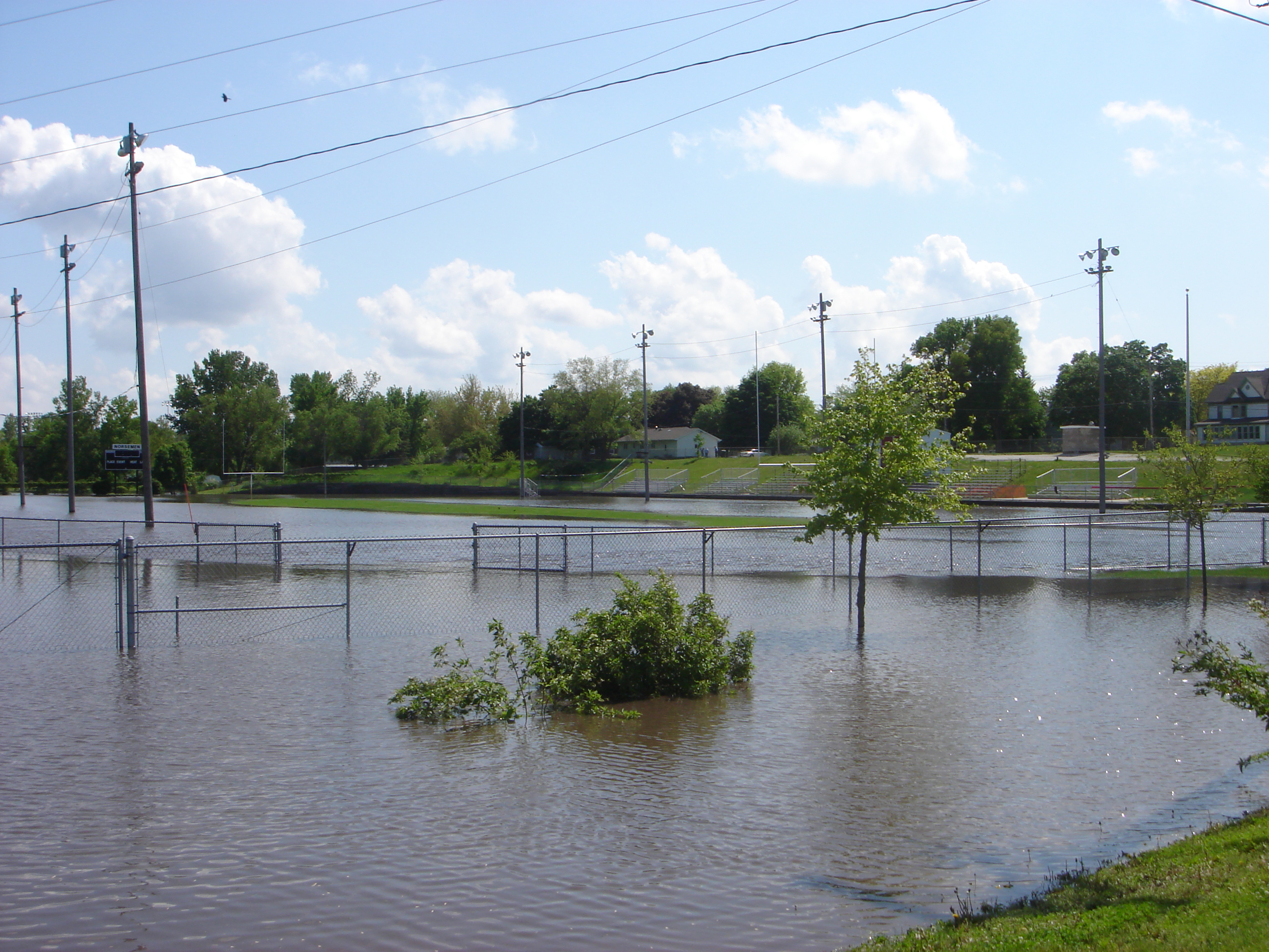
Flooded Roland-Story football field
Swinging Bridge under water

StanhopeHouse20151101-92-HDR.jpg
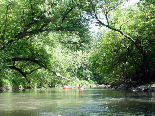
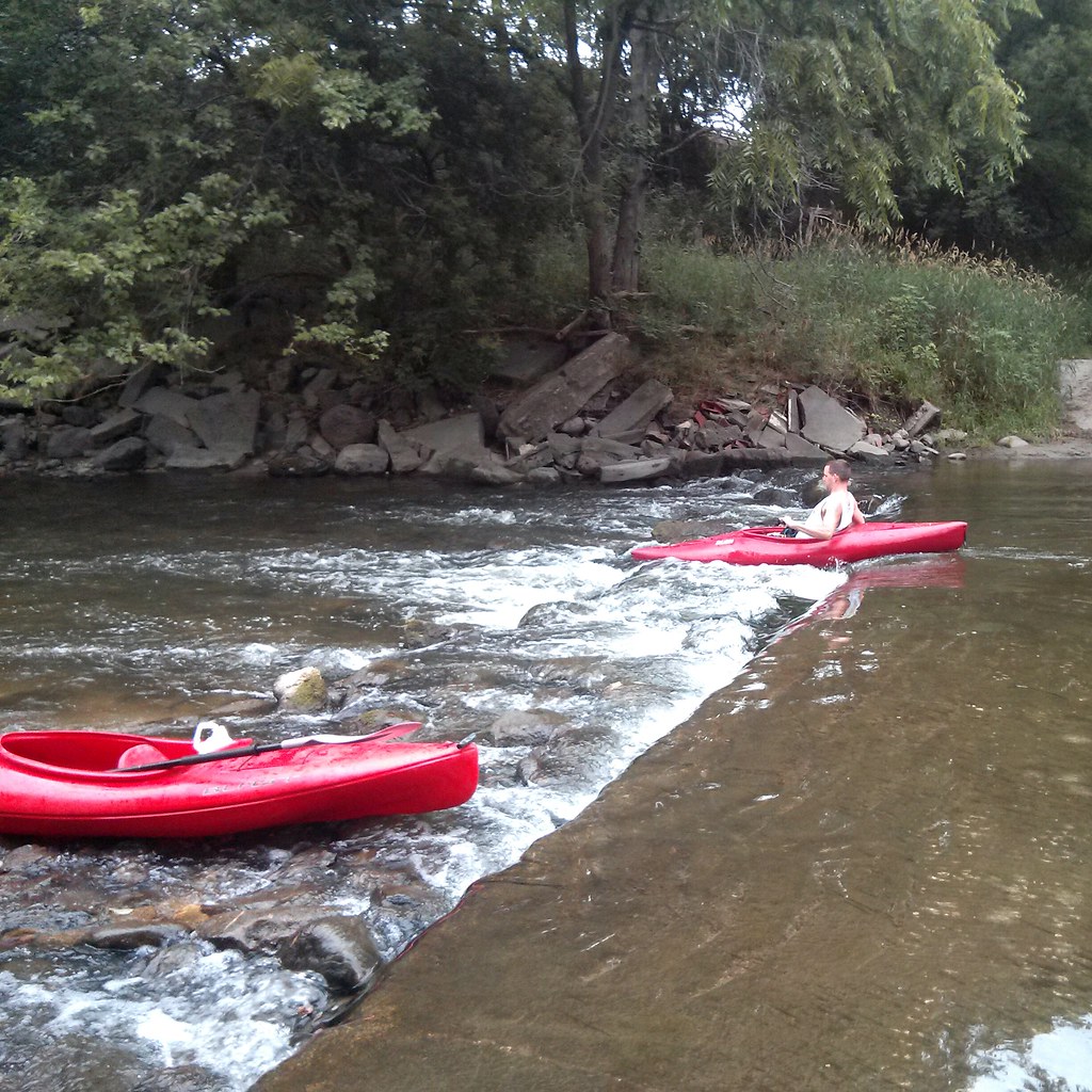
Floating down the South Skunk
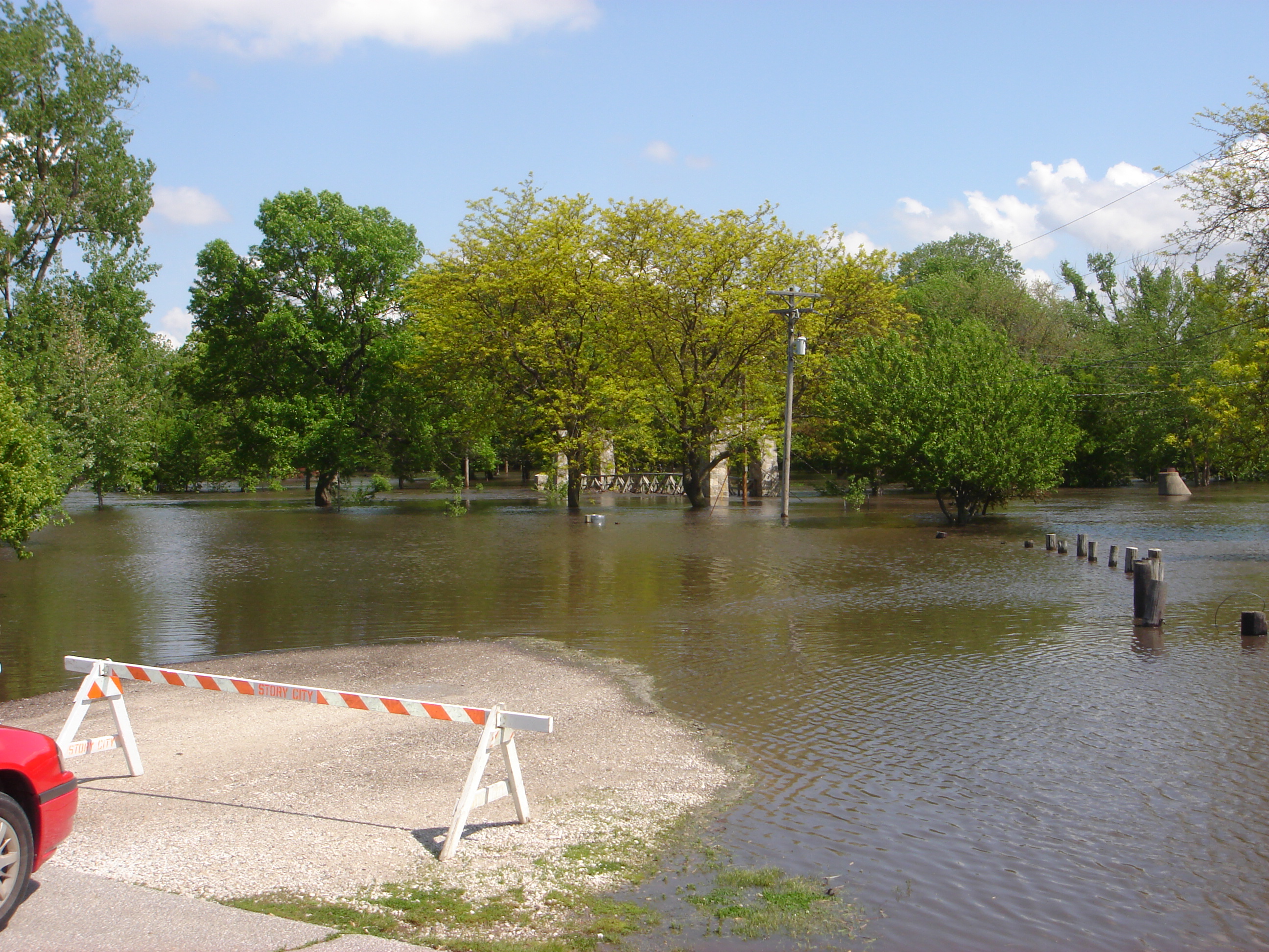
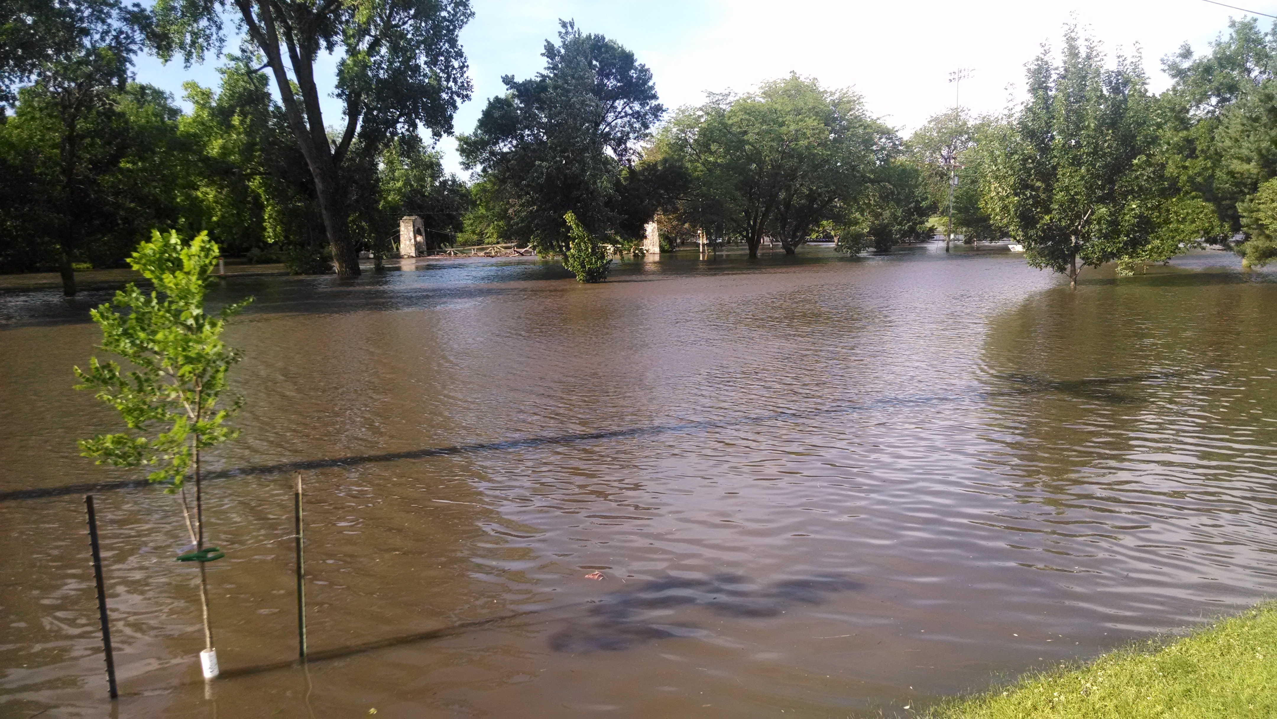
WPA Bridge / Flooded City Park
Roland - Story Field Flooded
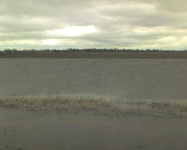
Flooded cornfield.
Topographic Map of Little Wall Lake Rd, Jewell, IA, USA
Find elevation by address:

Places near Little Wall Lake Rd, Jewell, IA, USA:
Jewell
3501 Tollman Ave
Ellsworth
Ellsworth
2nd St, Randall, IA, USA
Hamilton County
Kamrar
Main St, Kamrar, IA, USA
Independence
Main St, Williams, IA, USA
Williams
2485 Virginia Pkwy
Williams
1625 River St
Webster City
Concord
Marion
1116 3rd St
Co Hwy S27, Radcliffe, IA, USA
Tennyson Ave, Stratford, IA, USA
Recent Searches:
- Elevation of 72-31 Metropolitan Ave, Middle Village, NY, USA
- Elevation of 76 Metropolitan Ave, Brooklyn, NY, USA
- Elevation of Alisal Rd, Solvang, CA, USA
- Elevation of Vista Blvd, Sparks, NV, USA
- Elevation of 15th Ave SE, St. Petersburg, FL, USA
- Elevation of Beall Road, Beall Rd, Florida, USA
- Elevation of Leguwa, Nepal
- Elevation of County Rd, Enterprise, AL, USA
- Elevation of Kolchuginsky District, Vladimir Oblast, Russia
- Elevation of Shustino, Vladimir Oblast, Russia