Elevation of Main St, Williams, IA, USA
Location: United States > Iowa > Hamilton County > Williams > Williams >
Longitude: -93.5445101
Latitude: 42.4878603
Elevation: 372m / 1220feet
Barometric Pressure: 0KPa
Related Photos:

I-35 northbound at US 20
Iverson Homestead

Iverson Homestead

Sub-Saharan Cornfield
Driving North for thanksgiving with a dirty windshield.

Hoar Frost and old barn, Rt 20, Iowa
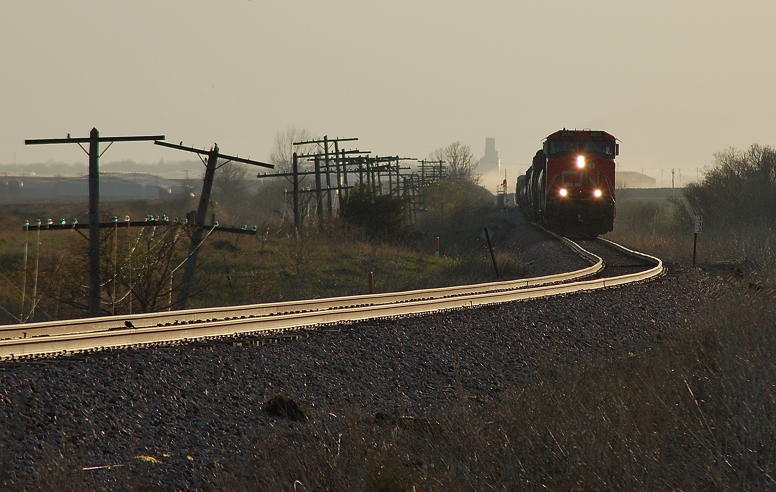
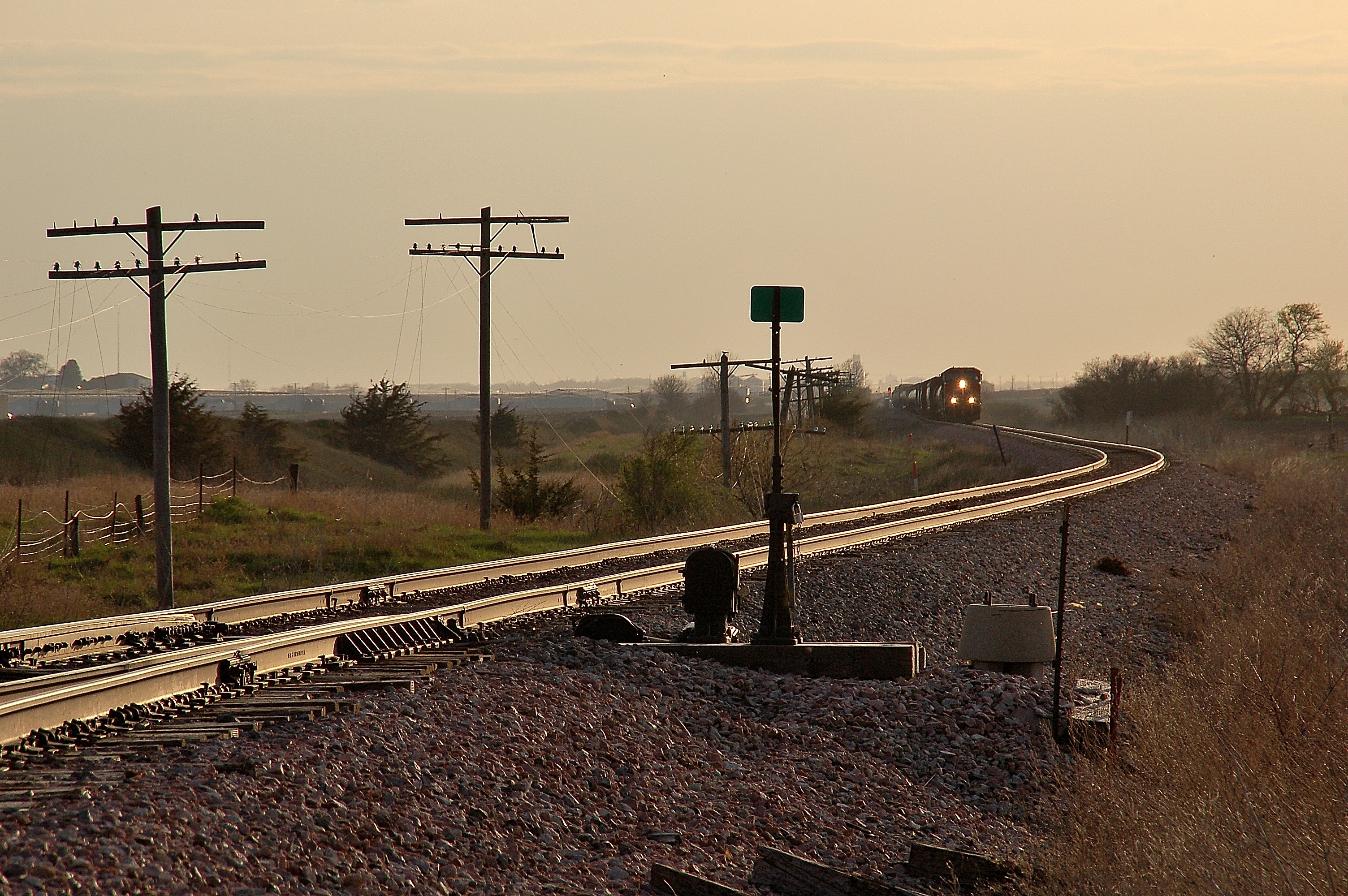
RAGBRAI 2015
RAGBRAI 2015

Thurmond-Adams Barn

Slugbug!
Springtime backlite
Work at Alden
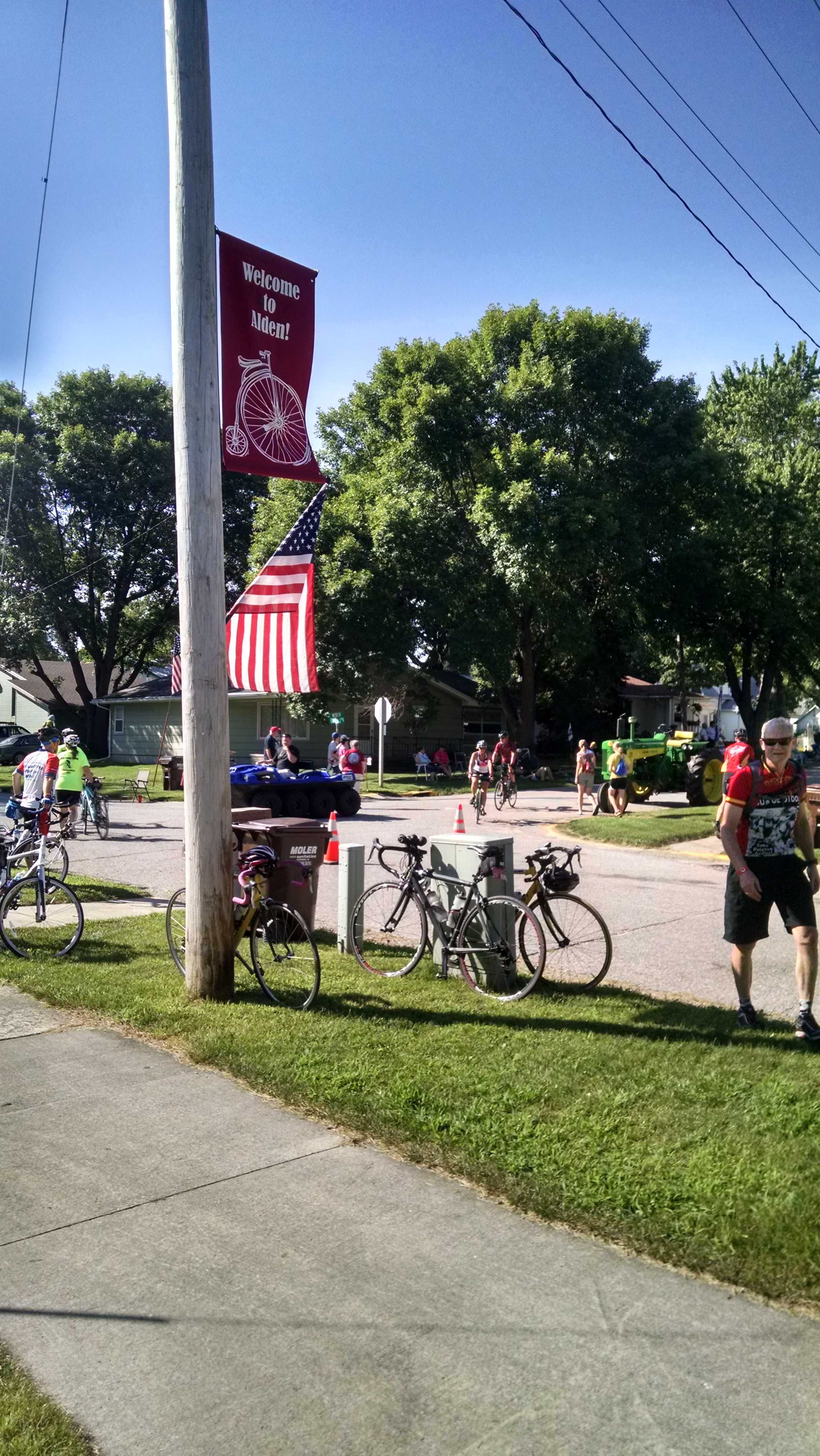
Welcome to Alden

RAGBRAI 2015

RAGBRAI 2015

RAGBRAI 2015

RAGBRAI 2015

RAGBRAI 2015

RAGBRAI 2015

RAGBRAI 2015

RAGBRAI 2015
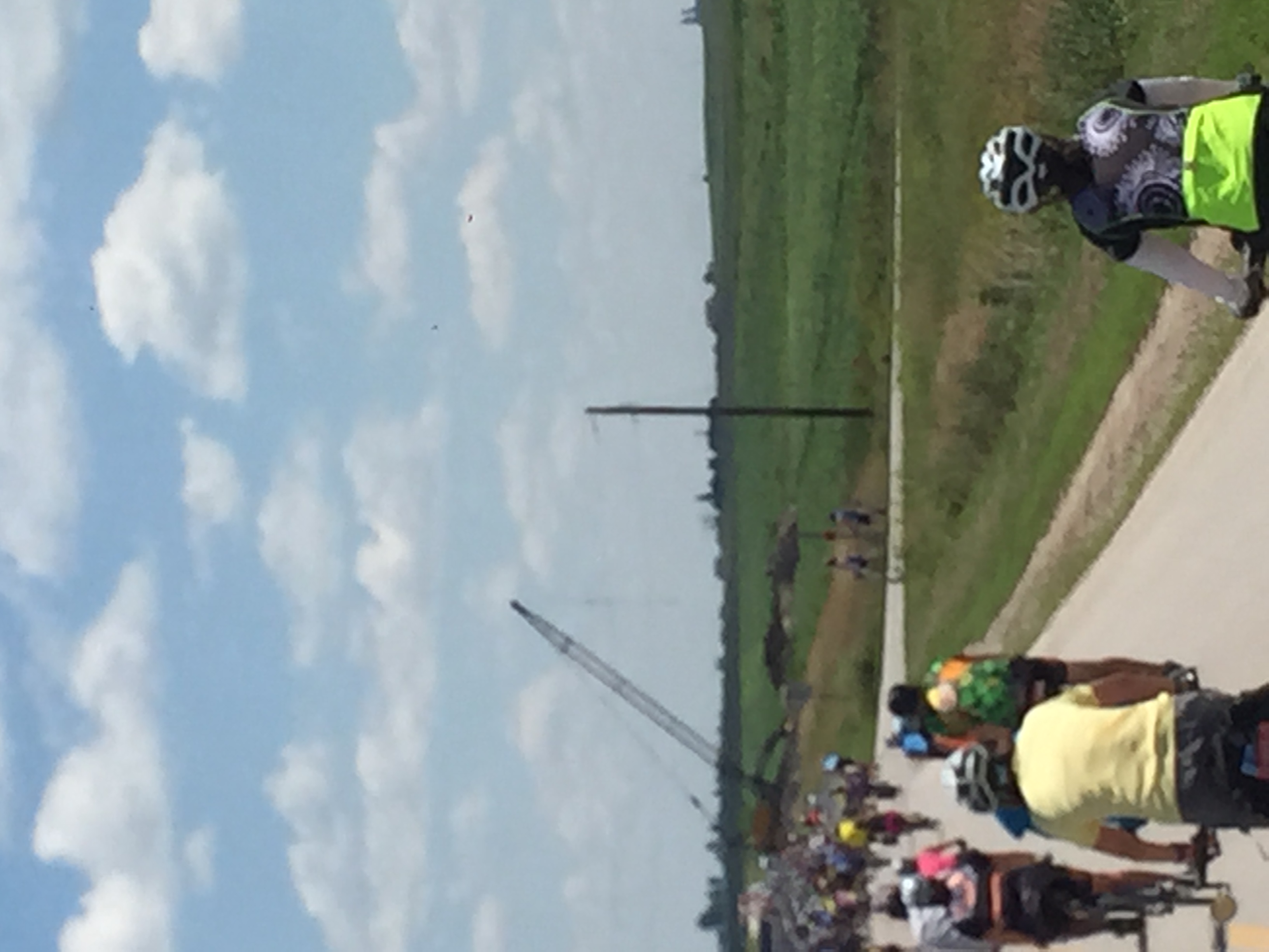
RAGBRAI 2015

RAGBRAI 2015
RAGBRAI 2015
Topographic Map of Main St, Williams, IA, USA
Find elevation by address:

Places near Main St, Williams, IA, USA:
Williams
Williams
Hamilton County
Buckeye, IA, USA
Alden
Alden
Water St, Alden, IA, USA
Dows
Ellsworth
Blaine
Little Wall Lake Rd, Jewell, IA, USA
30th St, Alden, IA, USA
Jewell
Main St, Kamrar, IA, USA
Kamrar
2nd St, Galt, IA, USA
Galt
3501 Tollman Ave
th St, Iowa Falls, IA, USA
Independence
Recent Searches:
- Elevation map of Greenland, Greenland
- Elevation of Sullivan Hill, New York, New York, 10002, USA
- Elevation of Morehead Road, Withrow Downs, Charlotte, Mecklenburg County, North Carolina, 28262, USA
- Elevation of 2800, Morehead Road, Withrow Downs, Charlotte, Mecklenburg County, North Carolina, 28262, USA
- Elevation of Yangbi Yi Autonomous County, Yunnan, China
- Elevation of Pingpo, Yangbi Yi Autonomous County, Yunnan, China
- Elevation of Mount Malong, Pingpo, Yangbi Yi Autonomous County, Yunnan, China
- Elevation map of Yongping County, Yunnan, China
- Elevation of North 8th Street, Palatka, Putnam County, Florida, 32177, USA
- Elevation of 107, Big Apple Road, East Palatka, Putnam County, Florida, 32131, USA
- Elevation of Jiezi, Chongzhou City, Sichuan, China
- Elevation of Chongzhou City, Sichuan, China
- Elevation of Huaiyuan, Chongzhou City, Sichuan, China
- Elevation of Qingxia, Chengdu, Sichuan, China
- Elevation of Corso Fratelli Cairoli, 35, Macerata MC, Italy
- Elevation of Tallevast Rd, Sarasota, FL, USA
- Elevation of 4th St E, Sonoma, CA, USA
- Elevation of Black Hollow Rd, Pennsdale, PA, USA
- Elevation of Oakland Ave, Williamsport, PA, USA
- Elevation of Pedrógão Grande, Portugal