Elevation of Water St, Alden, IA, USA
Location: United States > Iowa > Hardin County > Alden > Alden >
Longitude: -93.375692
Latitude: 42.520332
Elevation: 340m / 1115feet
Barometric Pressure: 97KPa
Elevation Map:
Satellite Map:
Related Photos:
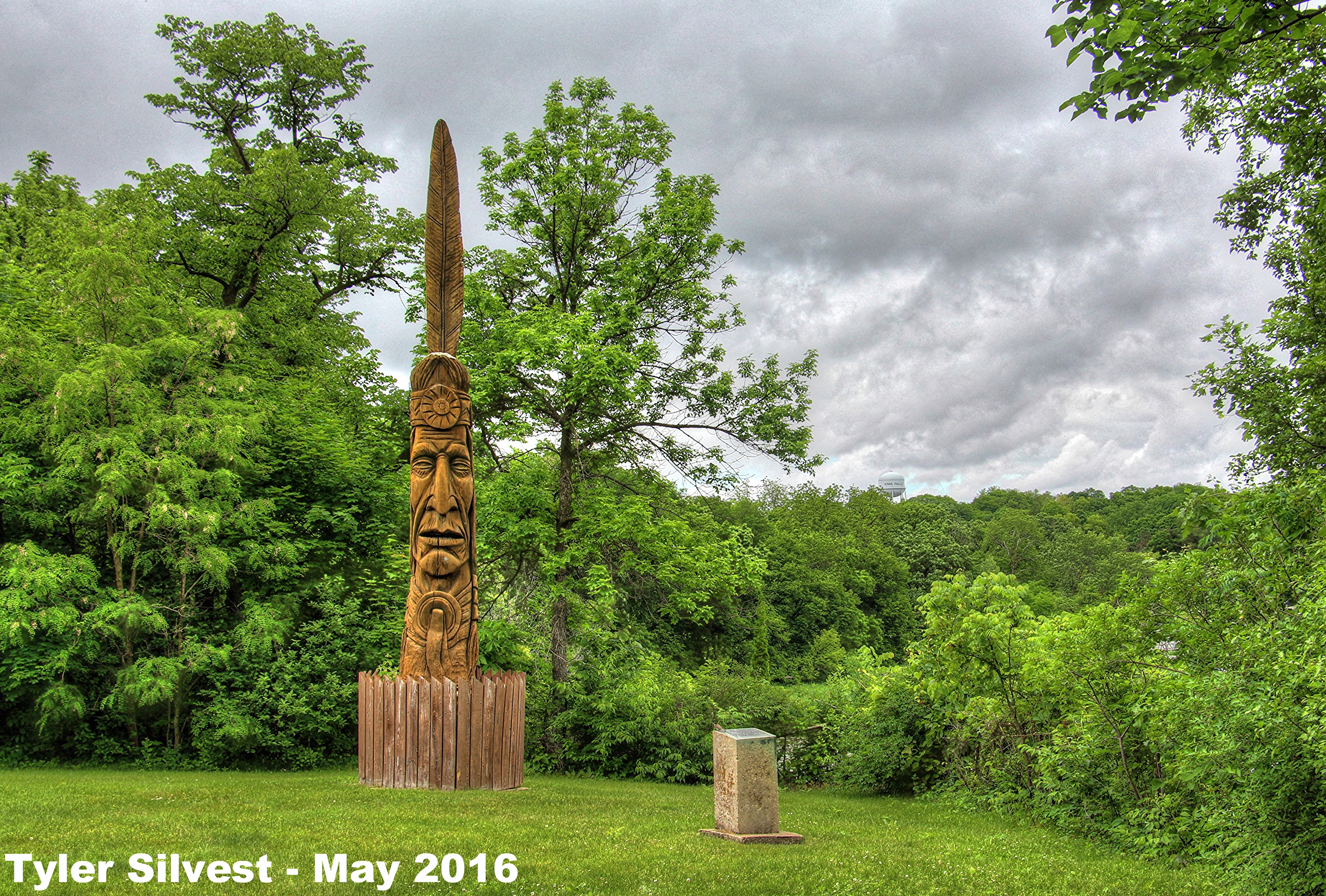
Indian Monument
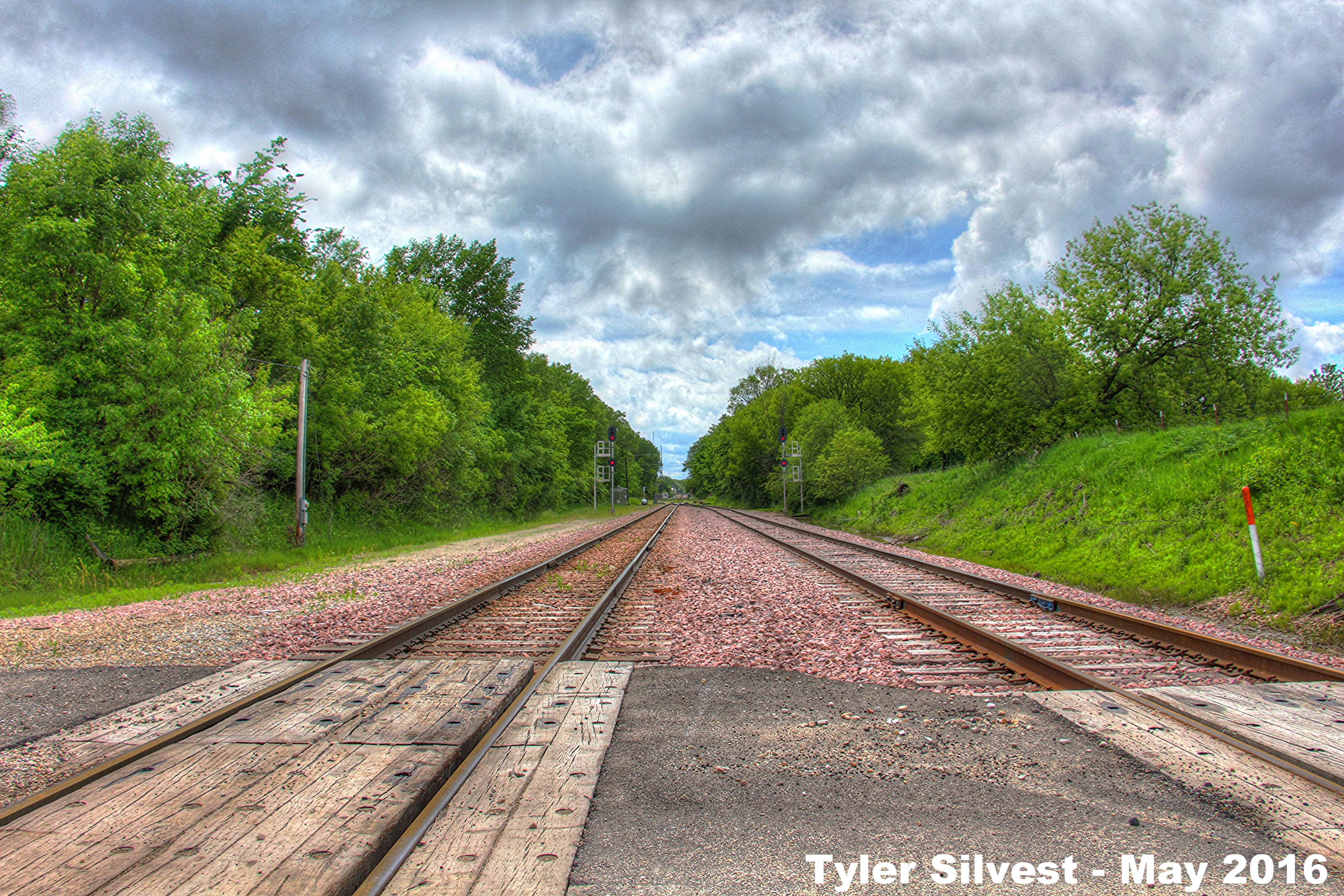
1/2 Looking West on the CN Rail Line
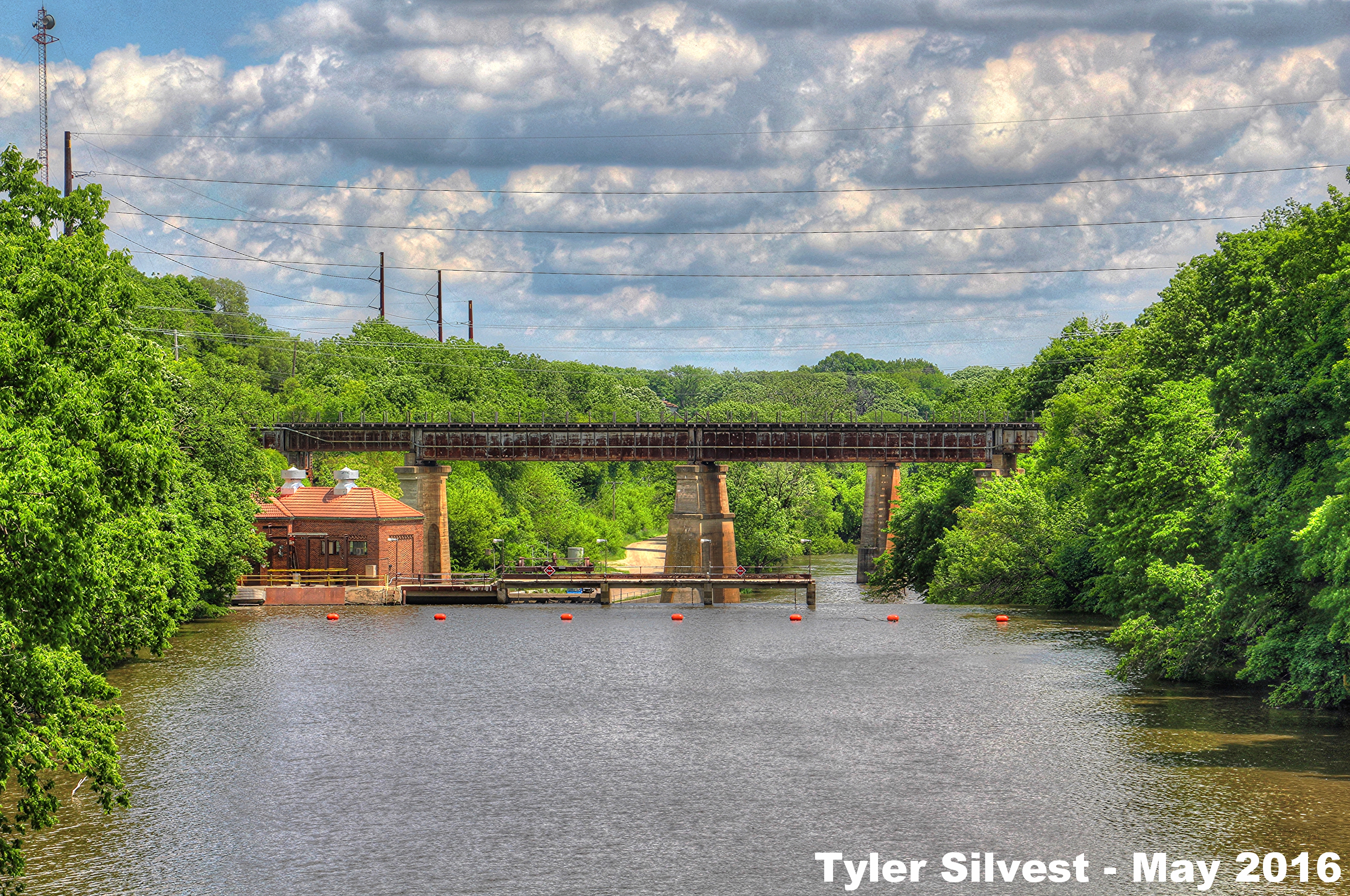
Iowa River Dam

Iowa Falls Post Office

Summer Sunset over Western Hardin County, IA 6-30-16

Summer Sunset over Northwestern Hardin County, IA 6-29-16
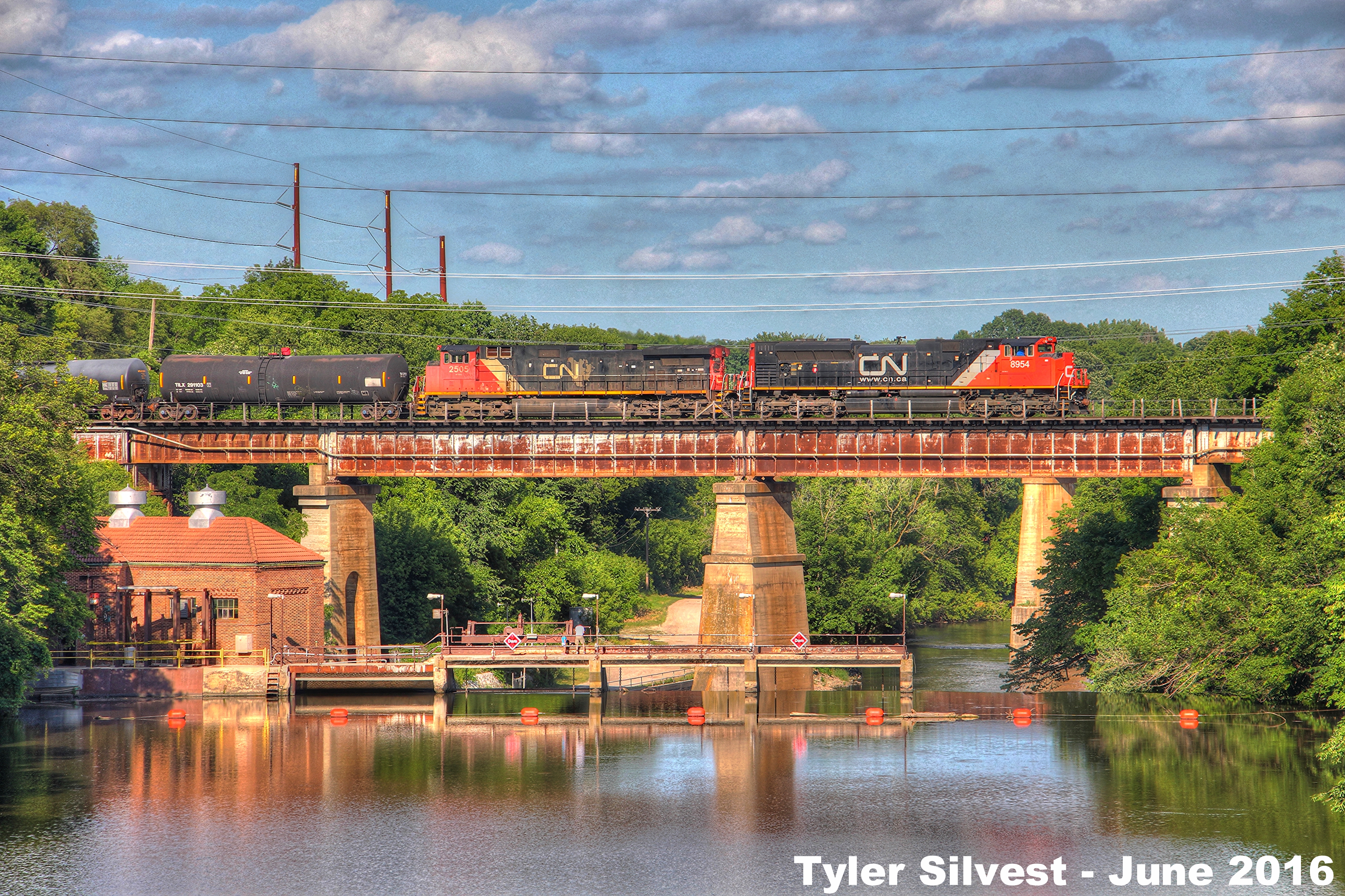
CN 8954 Leads WB Manifest over the Iowa River 6-28-16
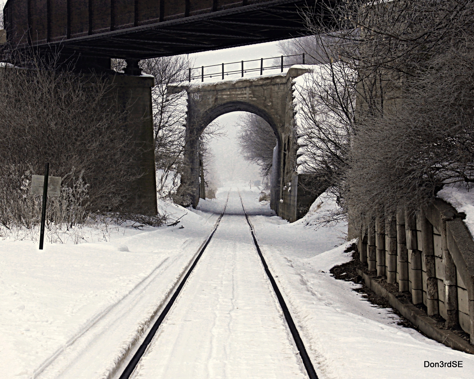
Tracks in the Snow
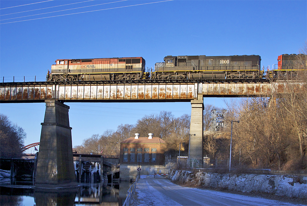
bcrail s 4614IF

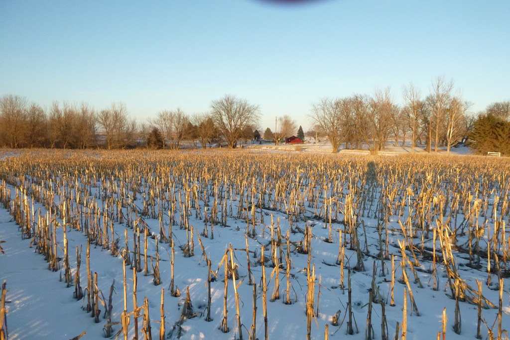
Sub-Saharan Cornfield
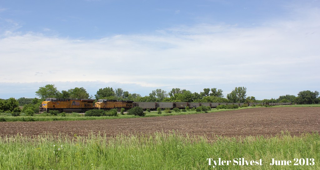
UP 7945 & UP 7097

cn s 2410IF
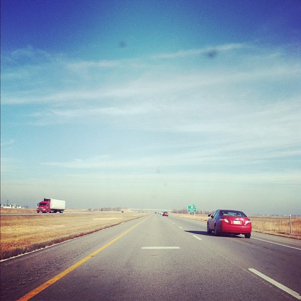
Driving North for thanksgiving with a dirty windshield.

Hoar Frost and old barn, Rt 20, Iowa
Iverson Homestead

Iverson Homestead

Iowa Falls
Iowa Falls
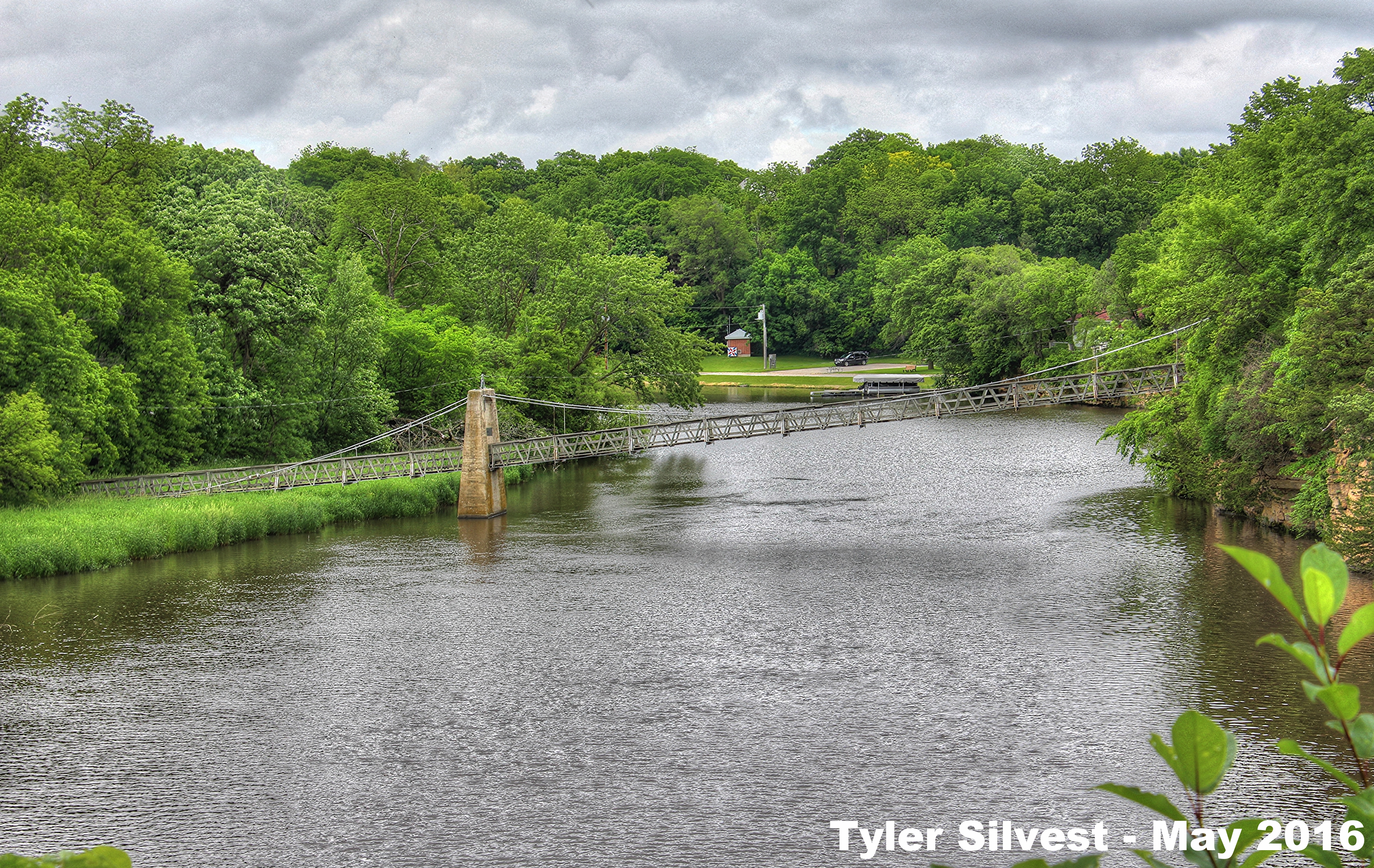
The Swinging Bridge
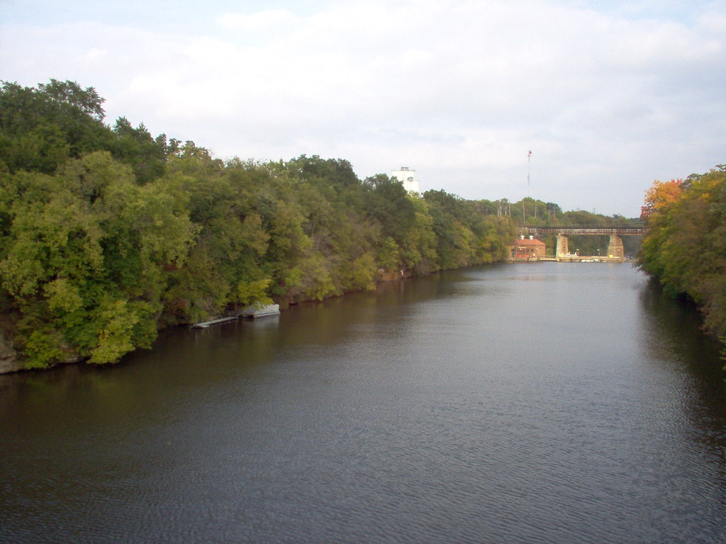
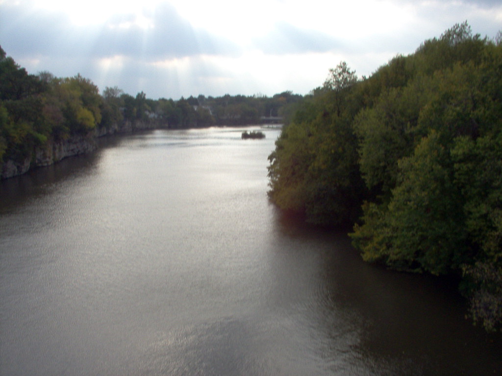
Iowa River
4/4 Iowa River Dam in Iowa Falls, IA Long Exposure
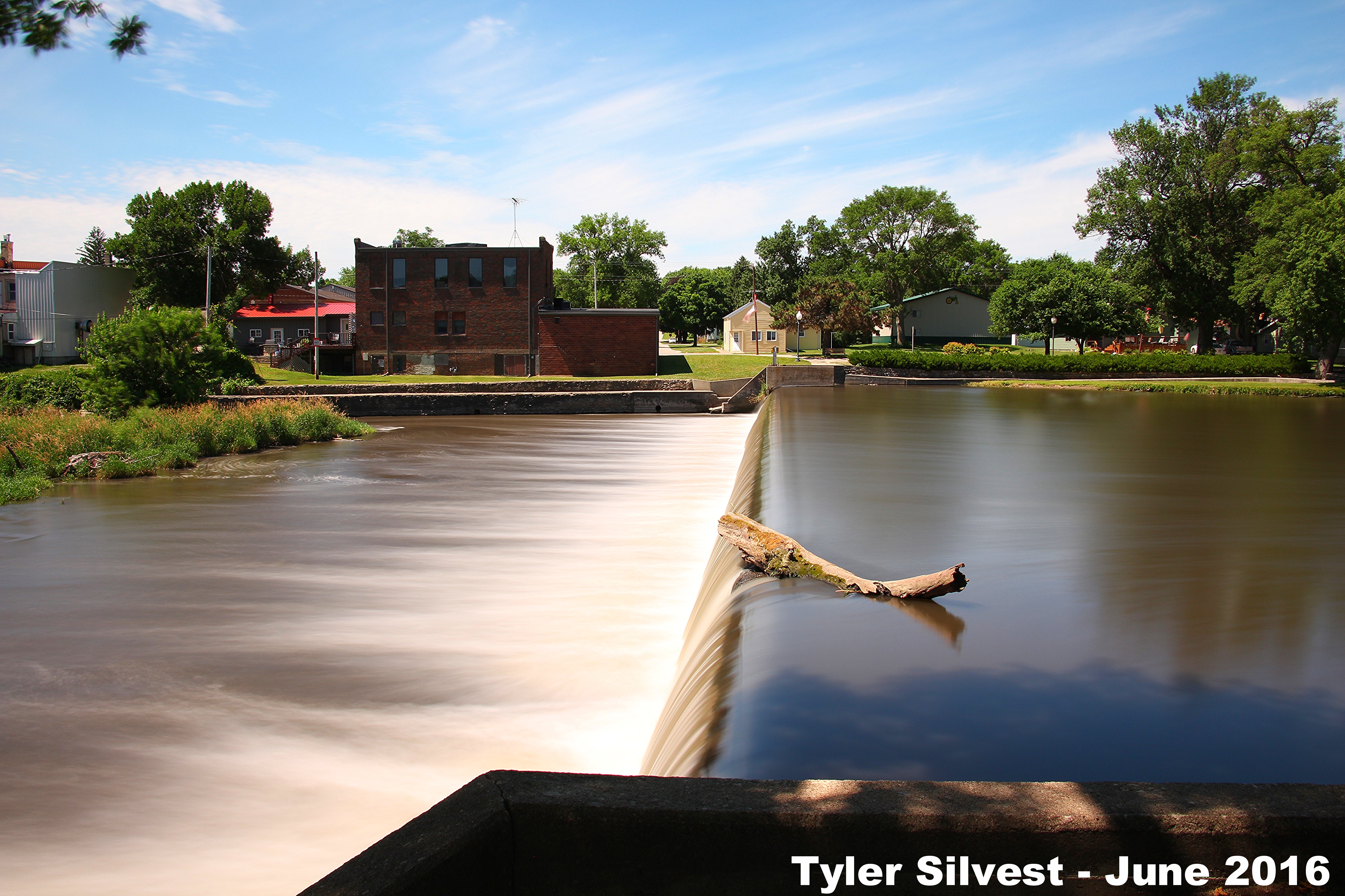
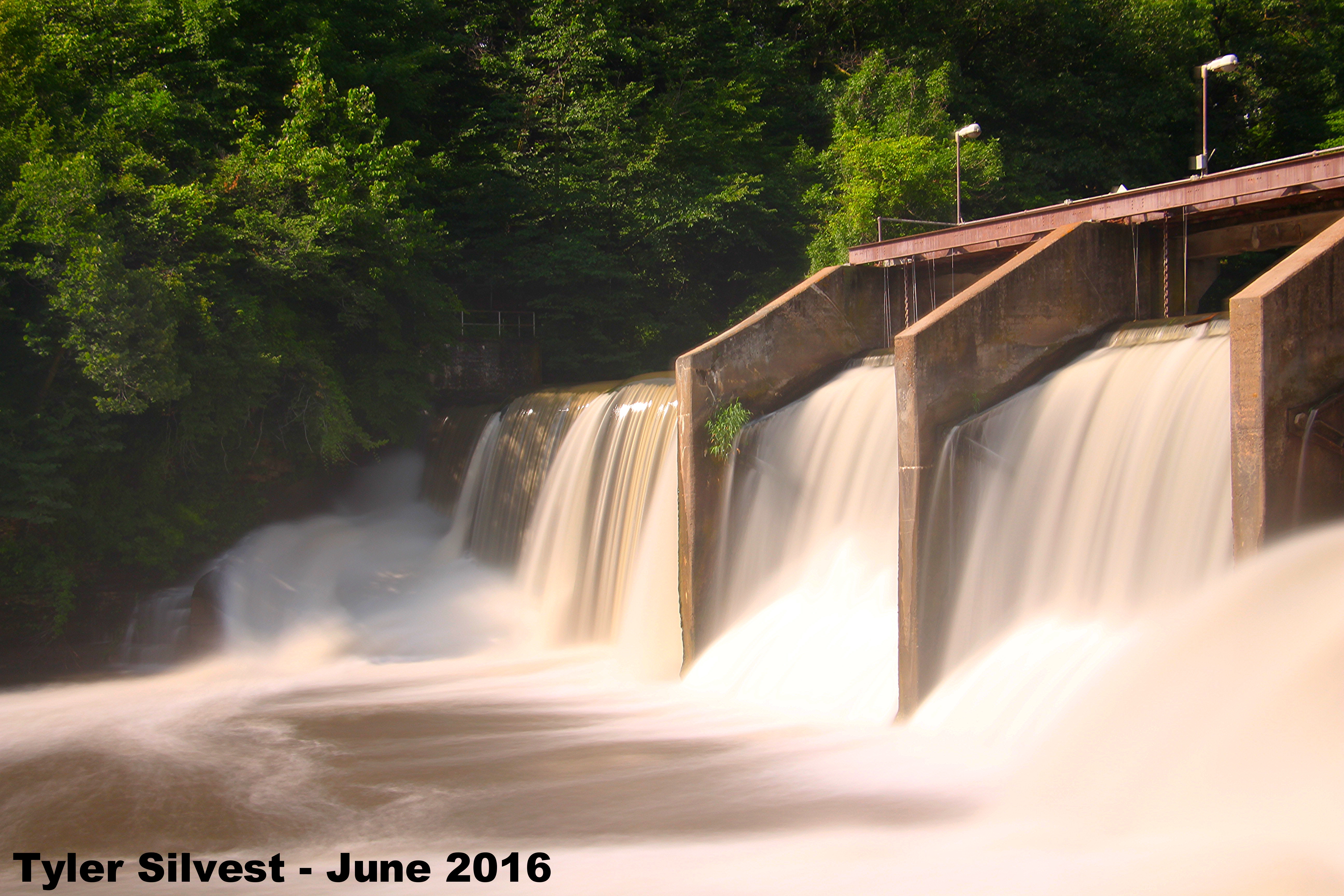
3/3 Iowa River Dam in Alden, IA Long Exposure
Topographic Map of Water St, Alden, IA, USA
Find elevation by address:

Places near Water St, Alden, IA, USA:
Alden
Buckeye, IA, USA
Alden
30th St, Alden, IA, USA
th St, Iowa Falls, IA, USA
Iowa Falls
Ellis
Henderson St, Iowa Falls, IA, USA
Hardin
Williams
Main St, Williams, IA, USA
Webber St, Iowa Falls, IA, USA
Dows
Williams
Coulter
Tipton
34 Main, Latimer, IA, USA
Hardin County
Franklin County
W Maple St, Hubbard, IA, USA
Recent Searches:
- Elevation of E 63rd St, New York, NY, USA
- Elevation of Elk City, OK, USA
- Elevation of Erika Dr, Windsor, CA, USA
- Elevation of Village Ln, Finleyville, PA, USA
- Elevation of 24 Oakland Rd #, Scotland, ON N0E 1R0, Canada
- Elevation of Deep Gap Farm Rd E, Mill Spring, NC, USA
- Elevation of Dog Leg Dr, Minden, NV, USA
- Elevation of Dog Leg Dr, Minden, NV, USA
- Elevation of Kambingan Sa Pansol Atbp., Purok 7 Pansol, Candaba, Pampanga, Philippines
- Elevation of Pinewood Dr, New Bern, NC, USA