Elevation of CO-10, Fowler, CO, USA
Location: United States > Colorado > Pueblo County > Fowler >
Longitude: -104.29944
Latitude: 37.806879
Elevation: 1673m / 5489feet
Barometric Pressure: 83KPa
Elevation Map:
Satellite Map:
Related Photos:
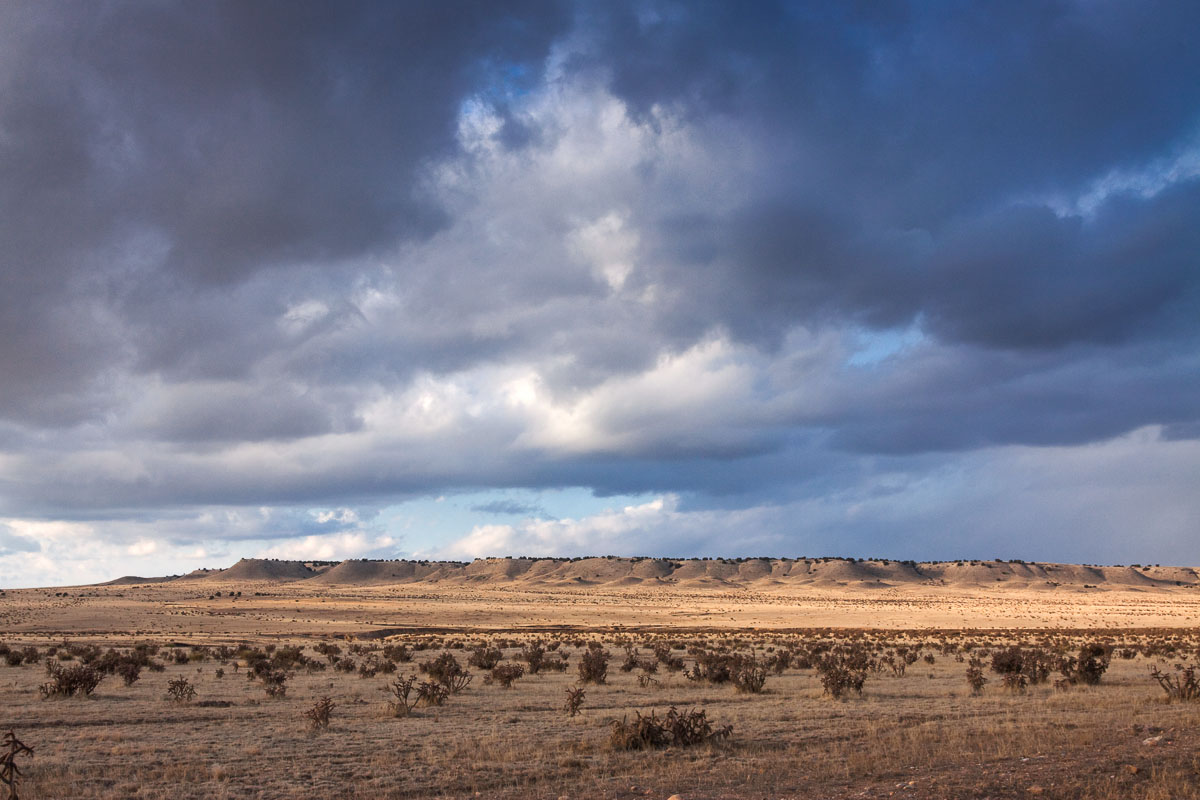
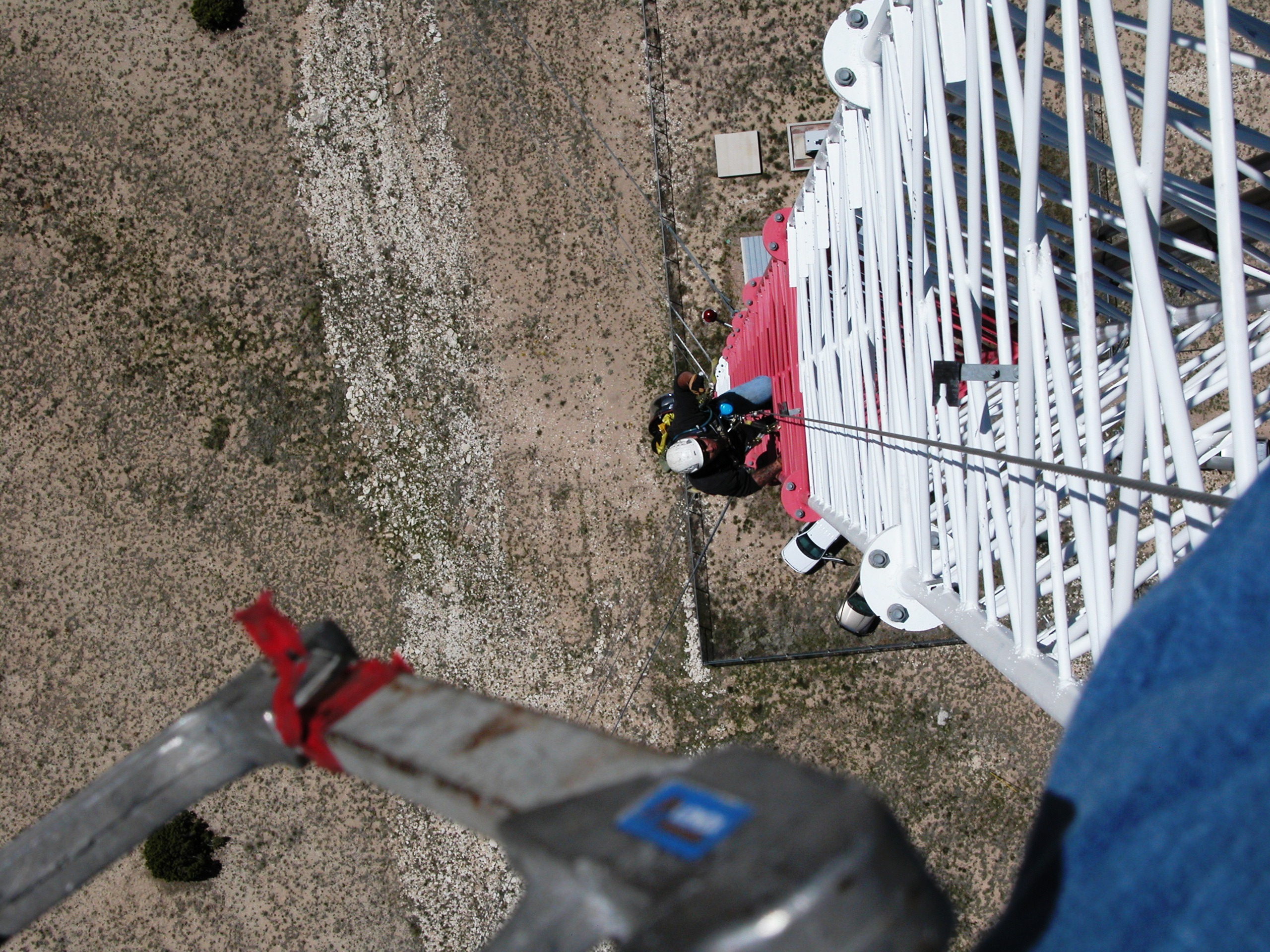
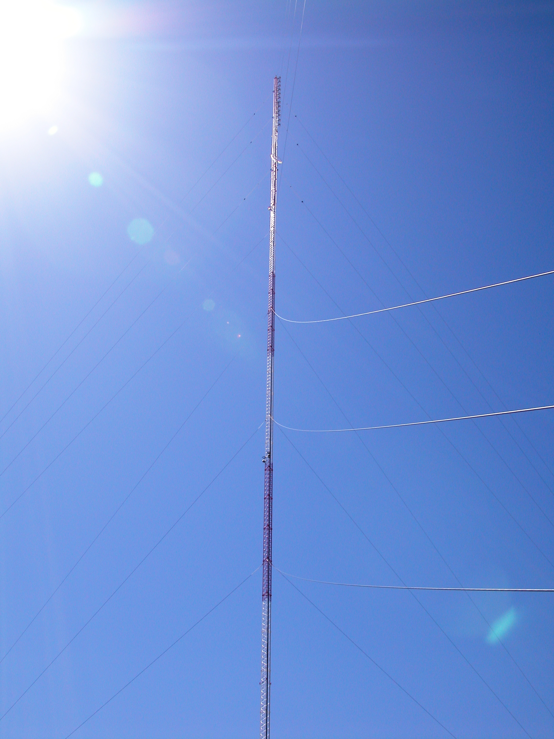
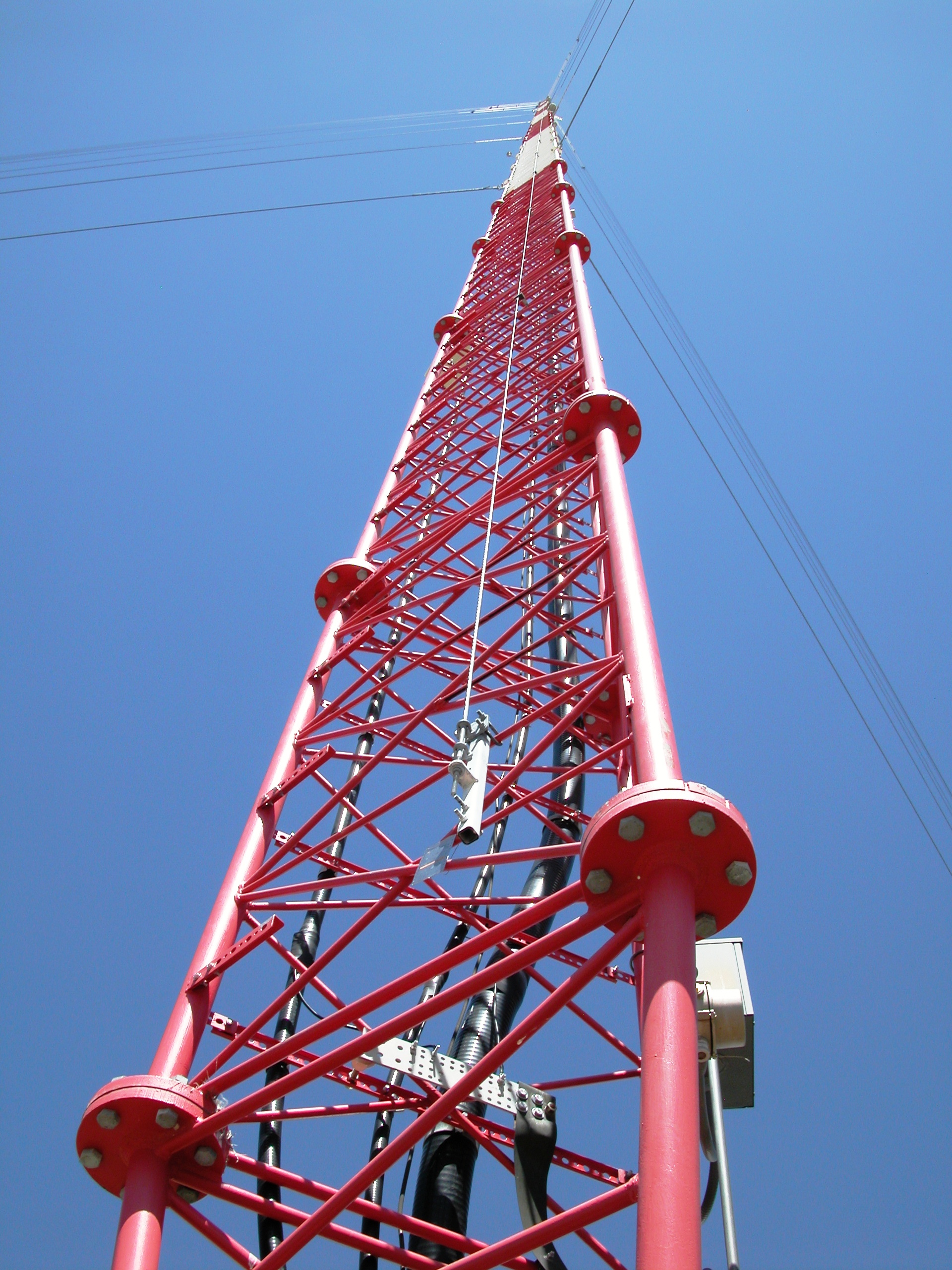
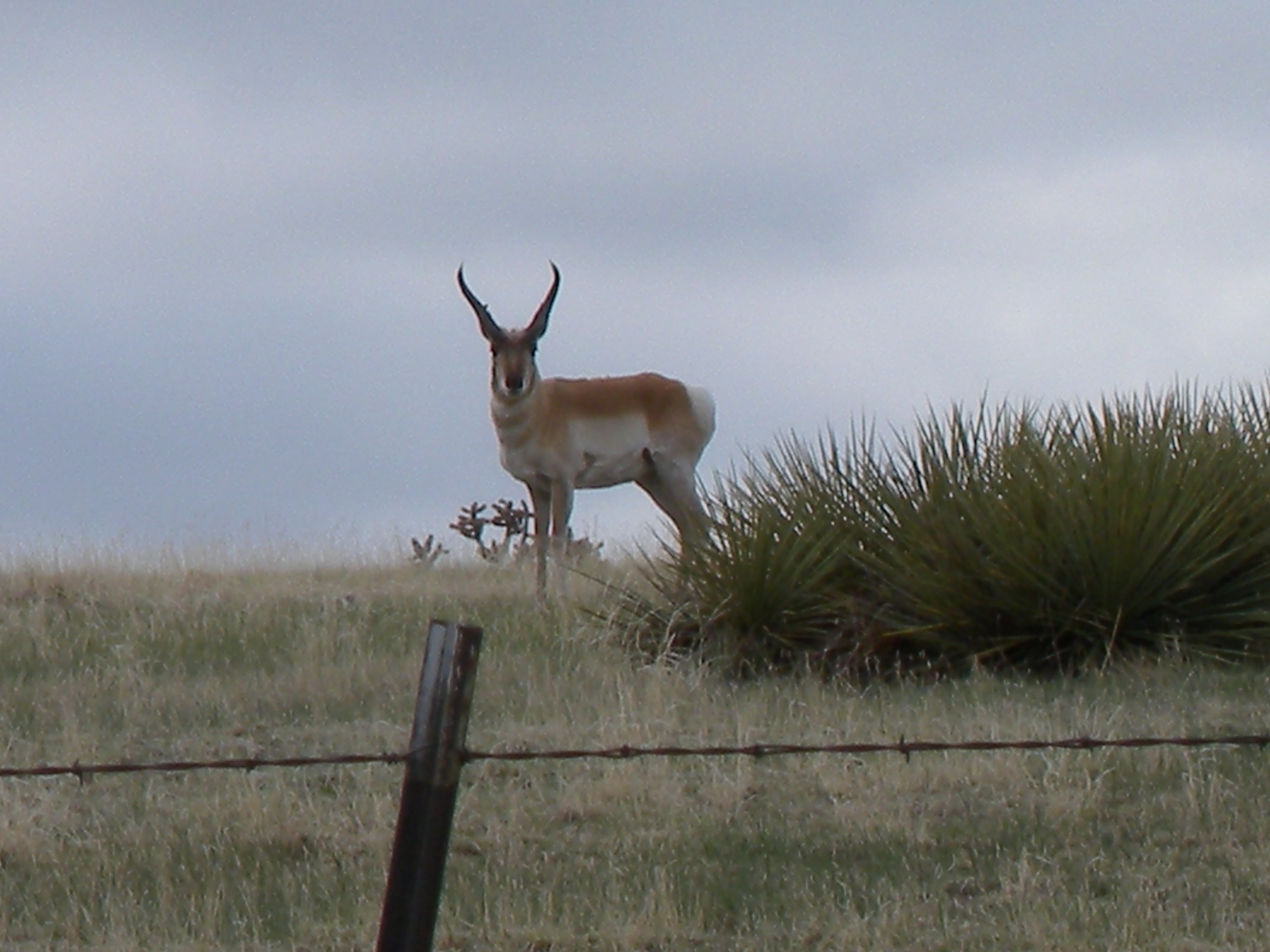
Pueblo County Life
.
.
.
.

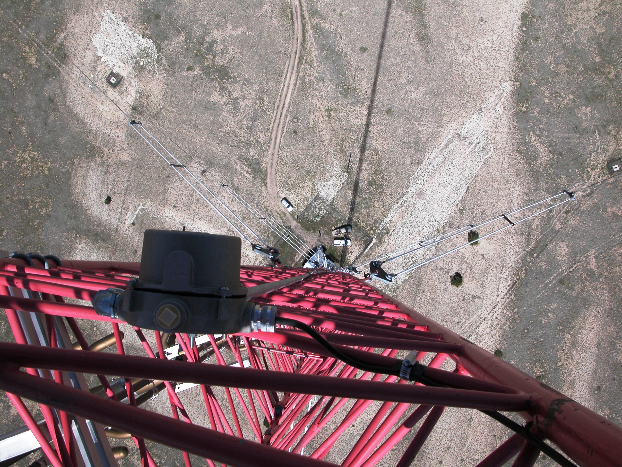
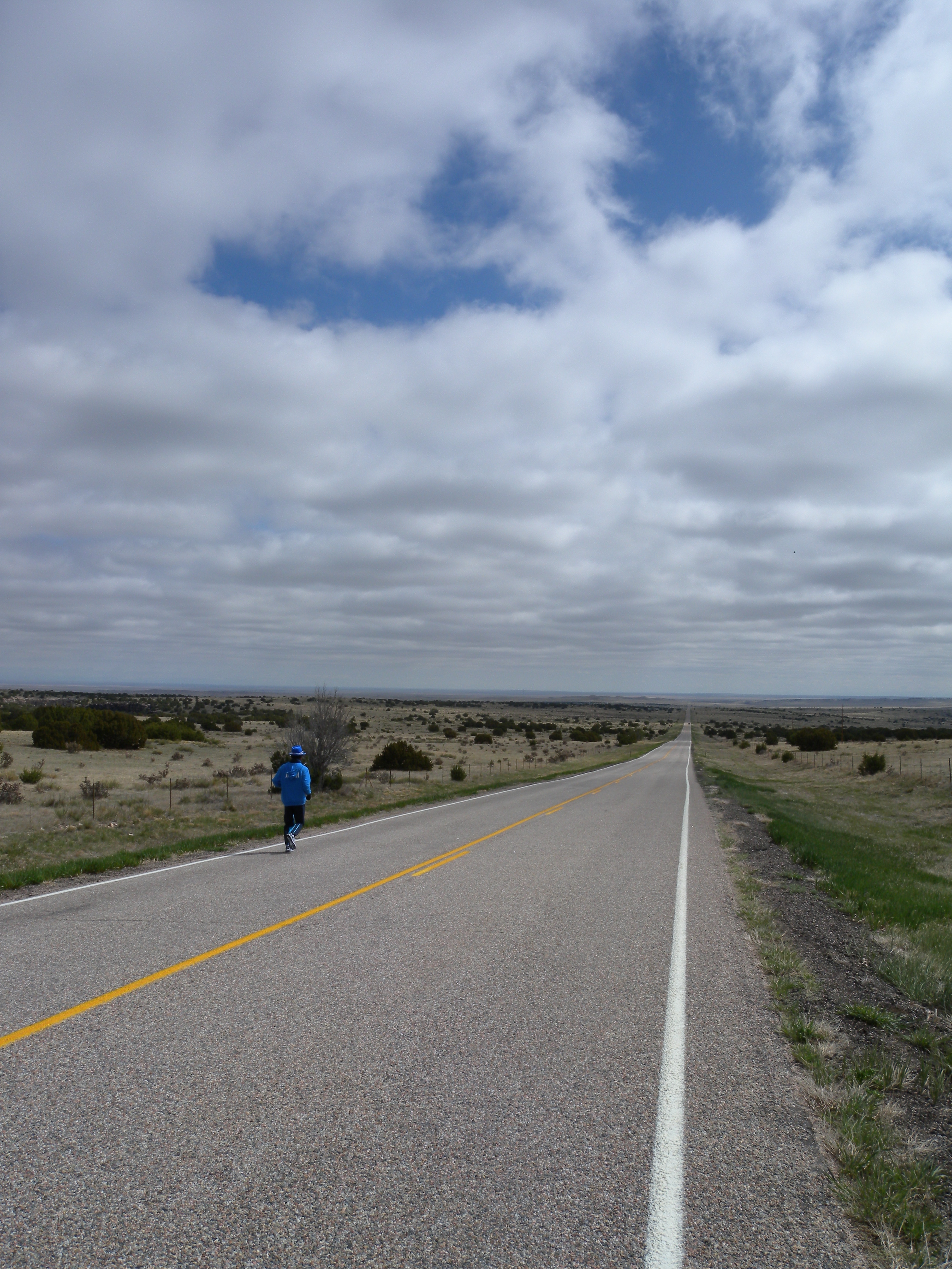
Long way down
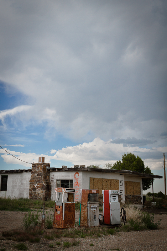
Cafe with Gas
[earth-marathon-blog:00936] ブーム?
[earth-marathon-blog:00935] 続いては…。

[earth-marathon-blog:00934] 何もないのに…。
[earth-marathon-blog:00933] こんな道。
[earth-marathon-blog:00932] 完璧!
IMG_4776.JPG
Topographic Map of CO-10, Fowler, CO, USA
Find elevation by address:

Places near CO-10, Fowler, CO, USA:
Unnamed Road
Vigil Canyon
Cedarwood Rd, Rye, CO, USA
Co Rd 64, Model, CO, USA
9776 Elk Ridge Ranch Rd
33120 Mountain View
CO-10, Walsenburg, CO, USA
County Road 113
Model
US-, Model, CO, USA
504 Lonesome Whistle Rd
2405 Co Rd 110
1671 Co Rd 110
Walsenburg, CO, USA
Pickney Road
9640 Canyon Point Dr
1016 Rolling Hills Ln
Lynn
Co Rd, Walsenburg, CO, USA
107 N Harrison Ave
Recent Searches:
- Elevation of AMELIA CT HSE, VA, USA
- Elevation of Abbey Dr, Virginia Beach, VA, USA
- Elevation of Brooks Lp, Spearfish, SD, USA
- Elevation of Panther Dr, Maggie Valley, NC, USA
- Elevation of Jais St - Wadi Shehah - Ras al Khaimah - United Arab Emirates
- Elevation of Shawnee Avenue, Shawnee Ave, Easton, PA, USA
- Elevation of Scenic Shore Dr, Kingwood Area, TX, USA
- Elevation of W Prive Cir, Delray Beach, FL, USA
- Elevation of S Layton Cir W, Layton, UT, USA
- Elevation of F36W+3M, Mussoorie, Uttarakhand, India