Elevation map of Walsenburg, CO, USA
Location: United States > Colorado > Huerfano County > Walsenburg >
Longitude: -104.75209
Latitude: 37.6365381
Elevation: 1853m / 6079feet
Barometric Pressure: 81KPa
Elevation Map:
Satellite Map:
Related Photos:
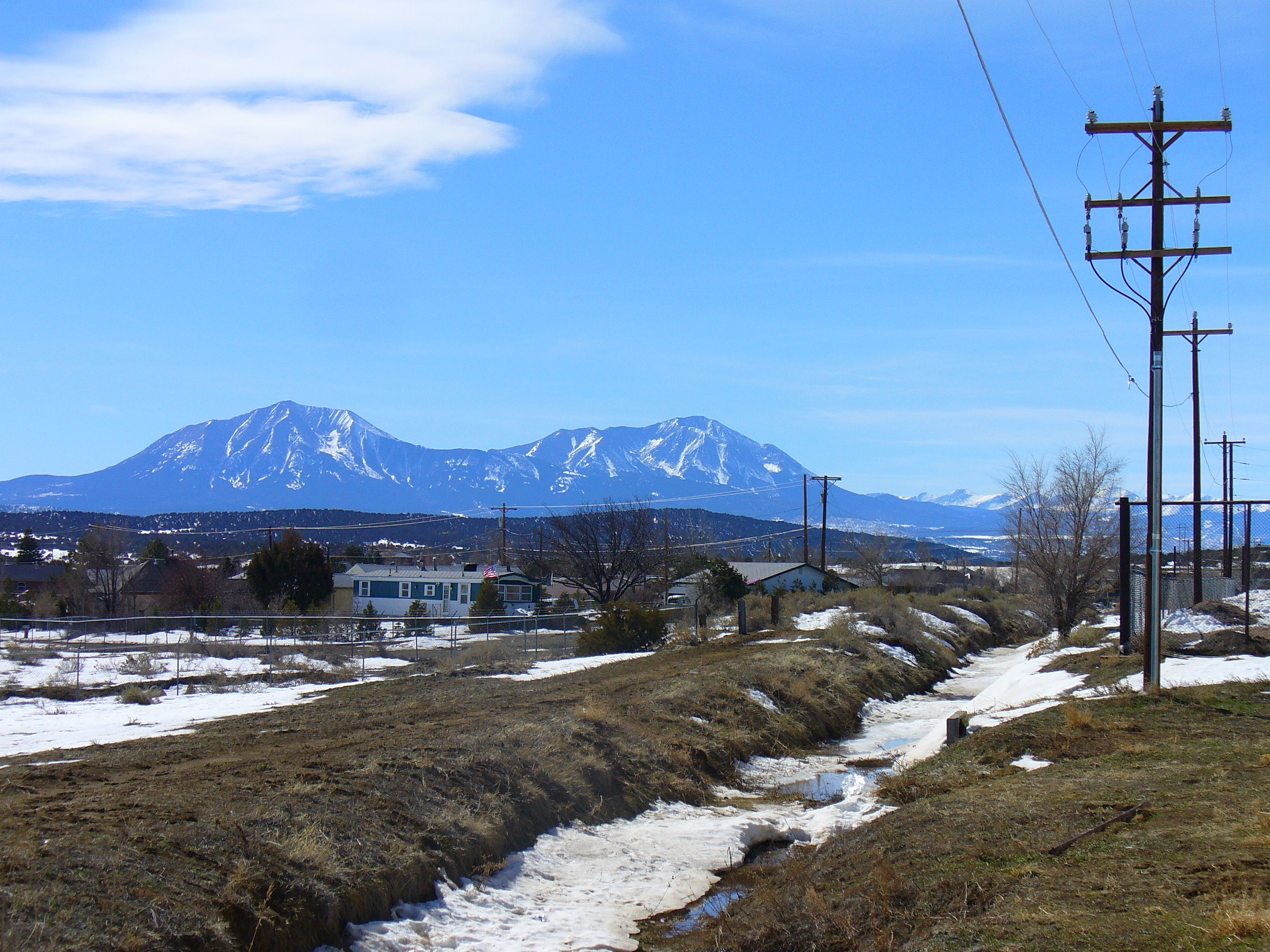
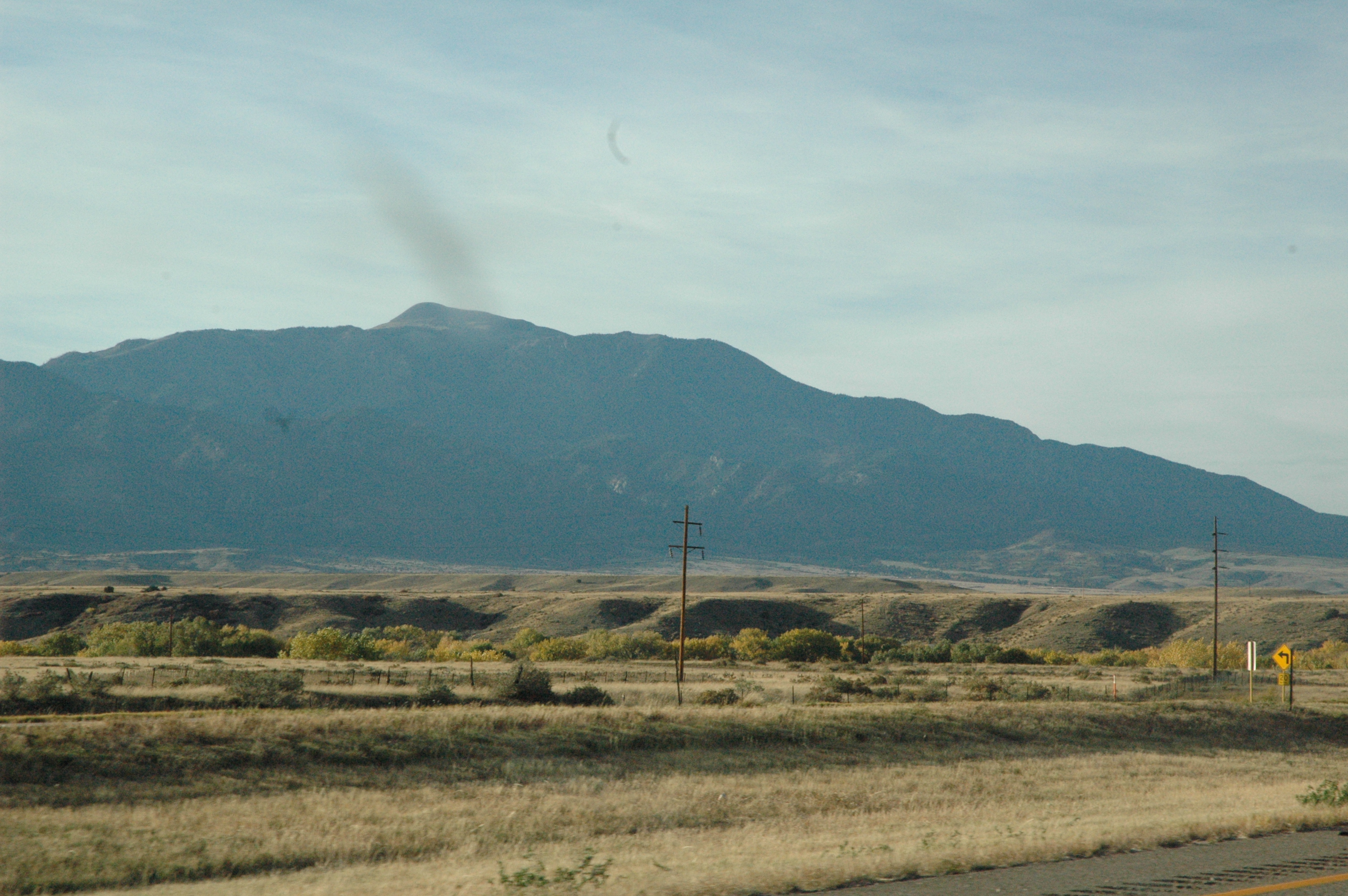
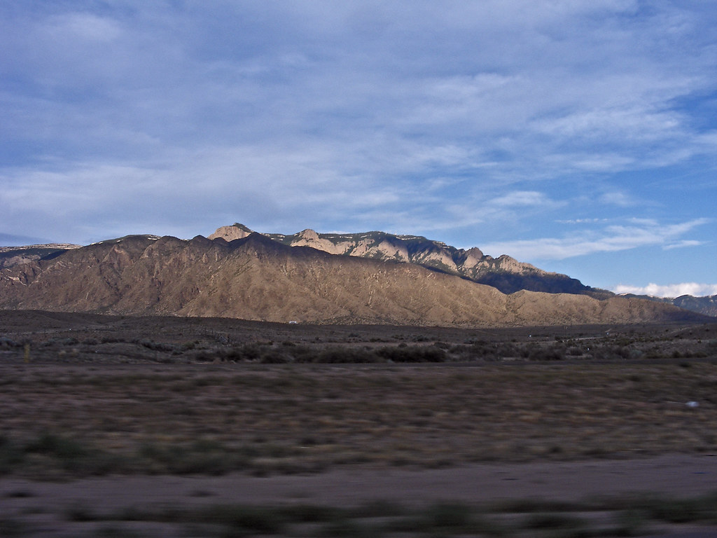
A View of the Greenhorn Mountain

Miner in the Storm
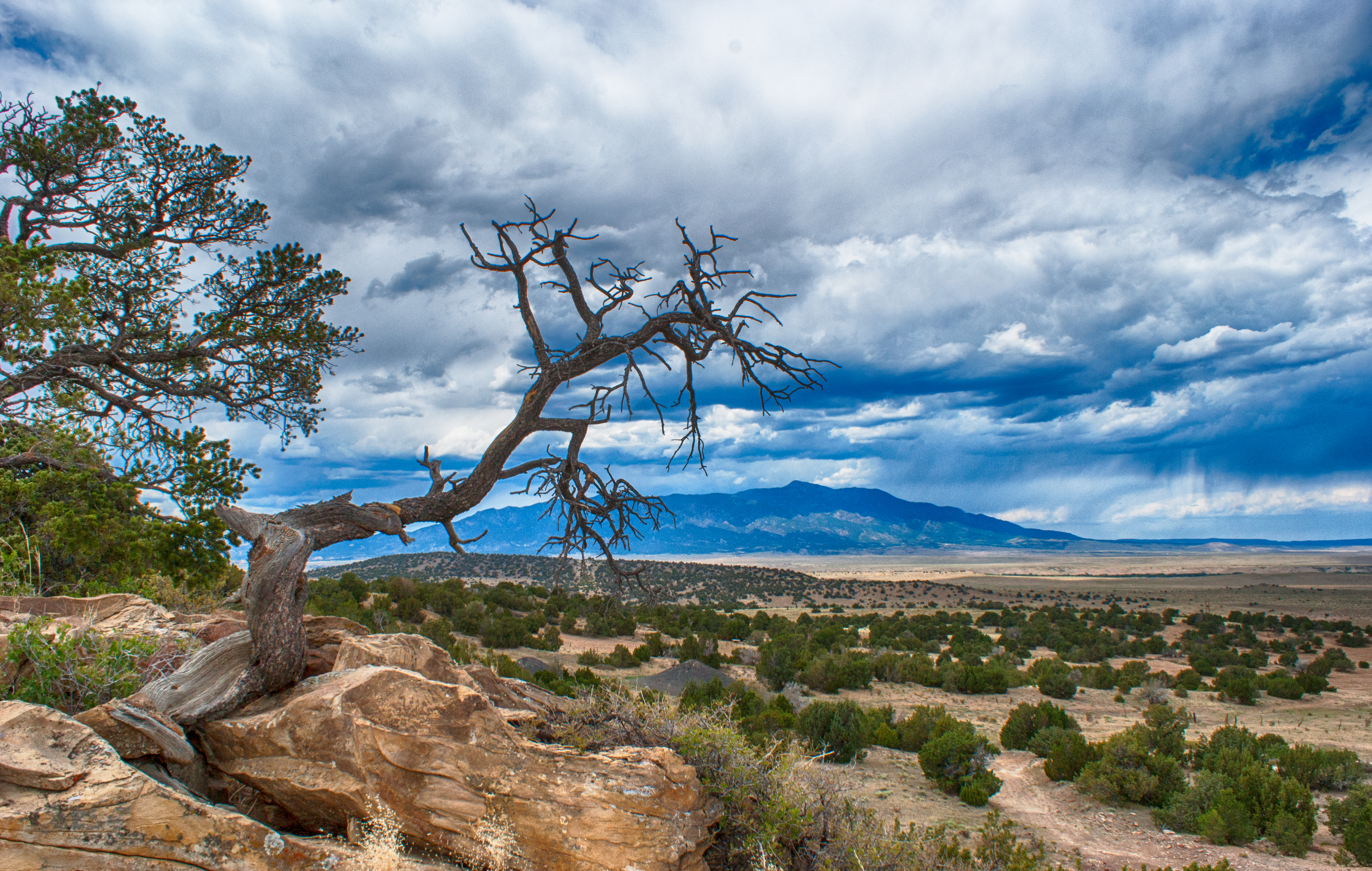
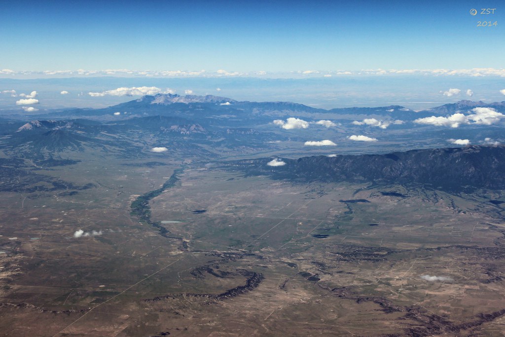
Southern Rockies

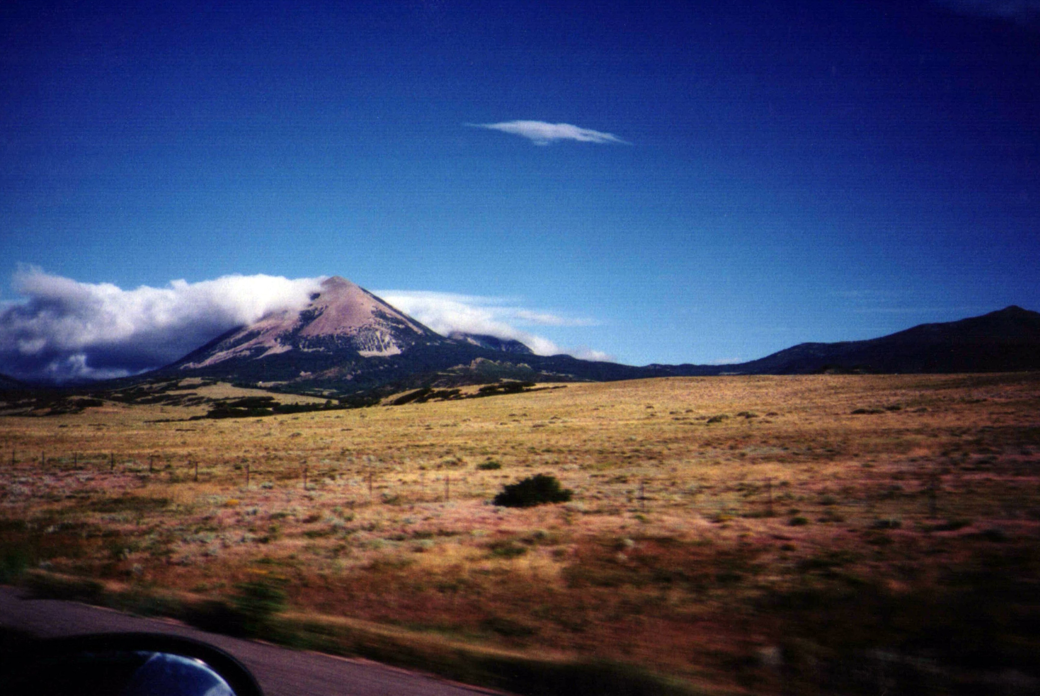
Spanish Peaks

16 Dec 12 North of Walsenburg
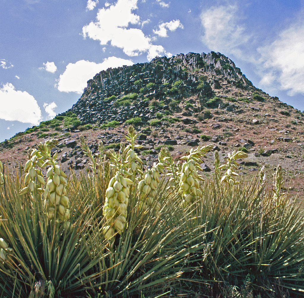
Huerfano Butte & Yuccas: Colorado (CO)

Hey, Where'd You Park The Truck?
Day 1 A - Fort Garland
Spanish Peaks
Blanca Peak & Mount Lindsey
Cumulus Build Up over Southern Colorado
Sunbeams Near Walsenburg
Interstate 25 in southern Colorado
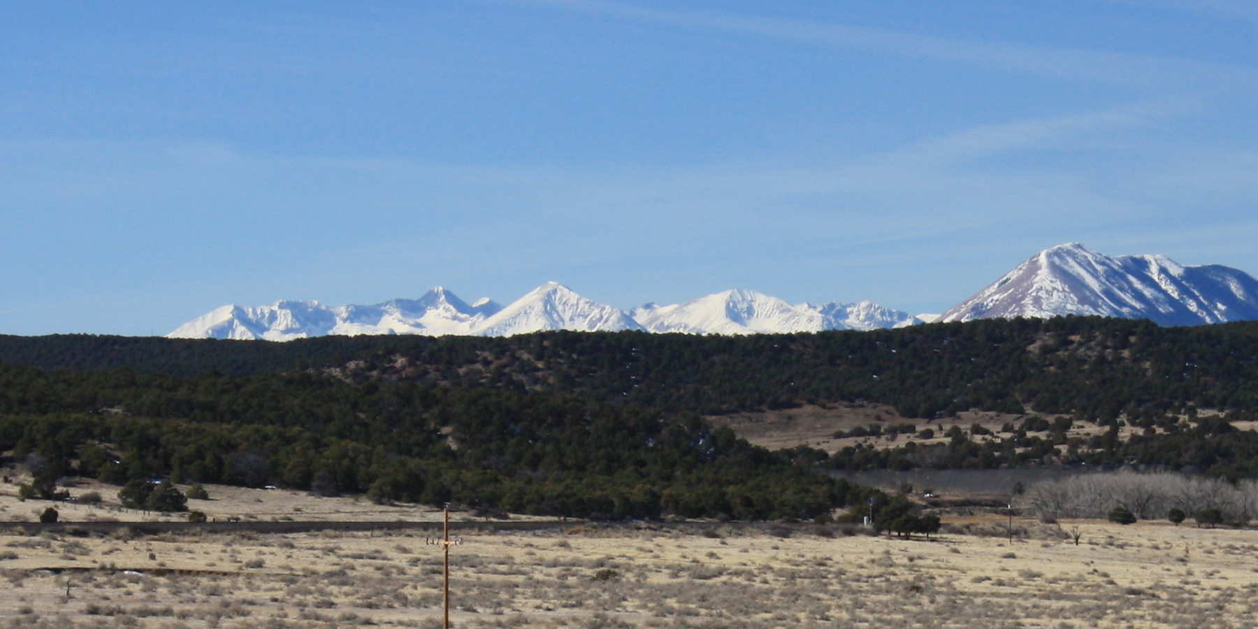
Blanca Peak group from I-25

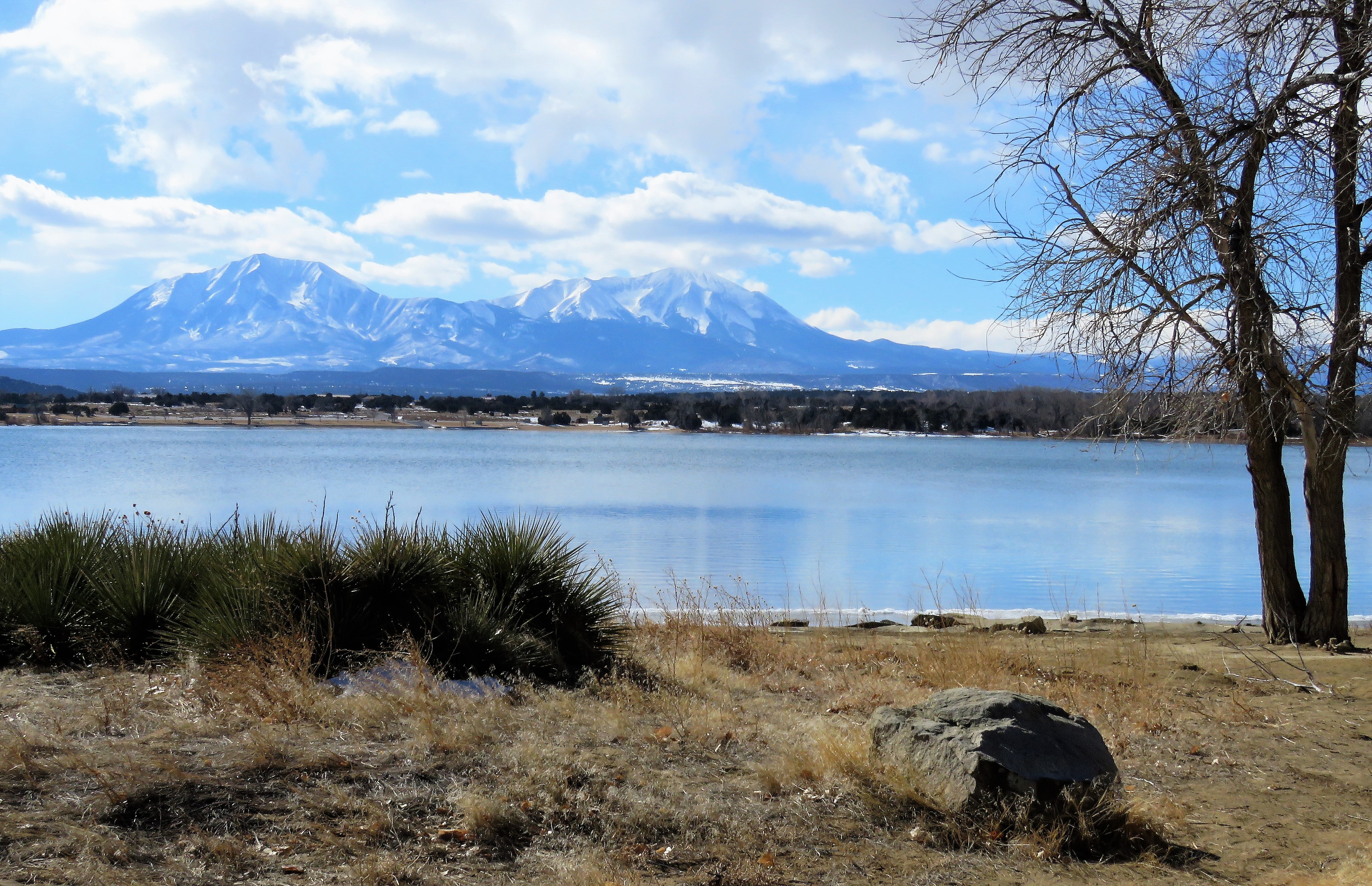
Icing on the Lake
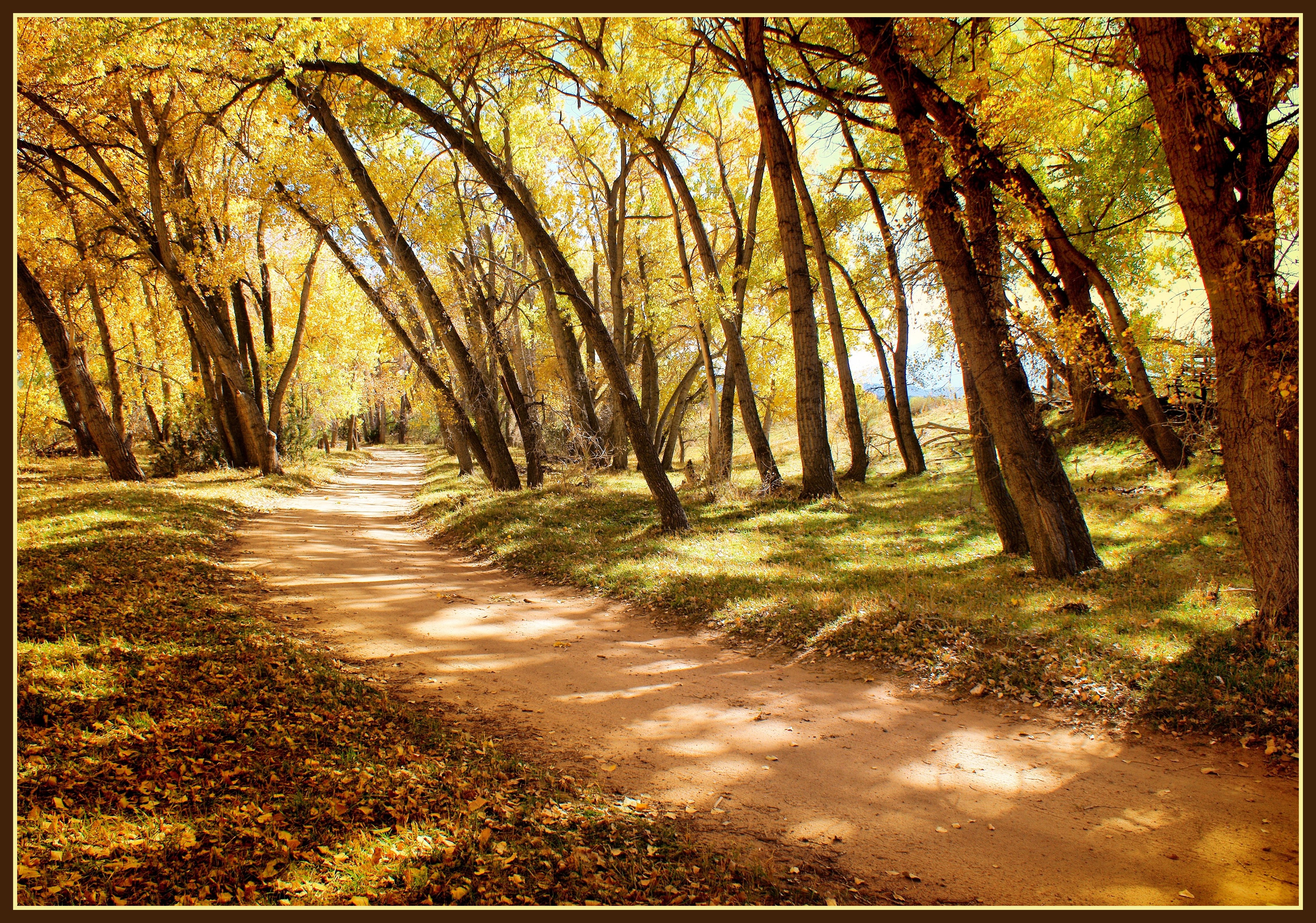
All Roads
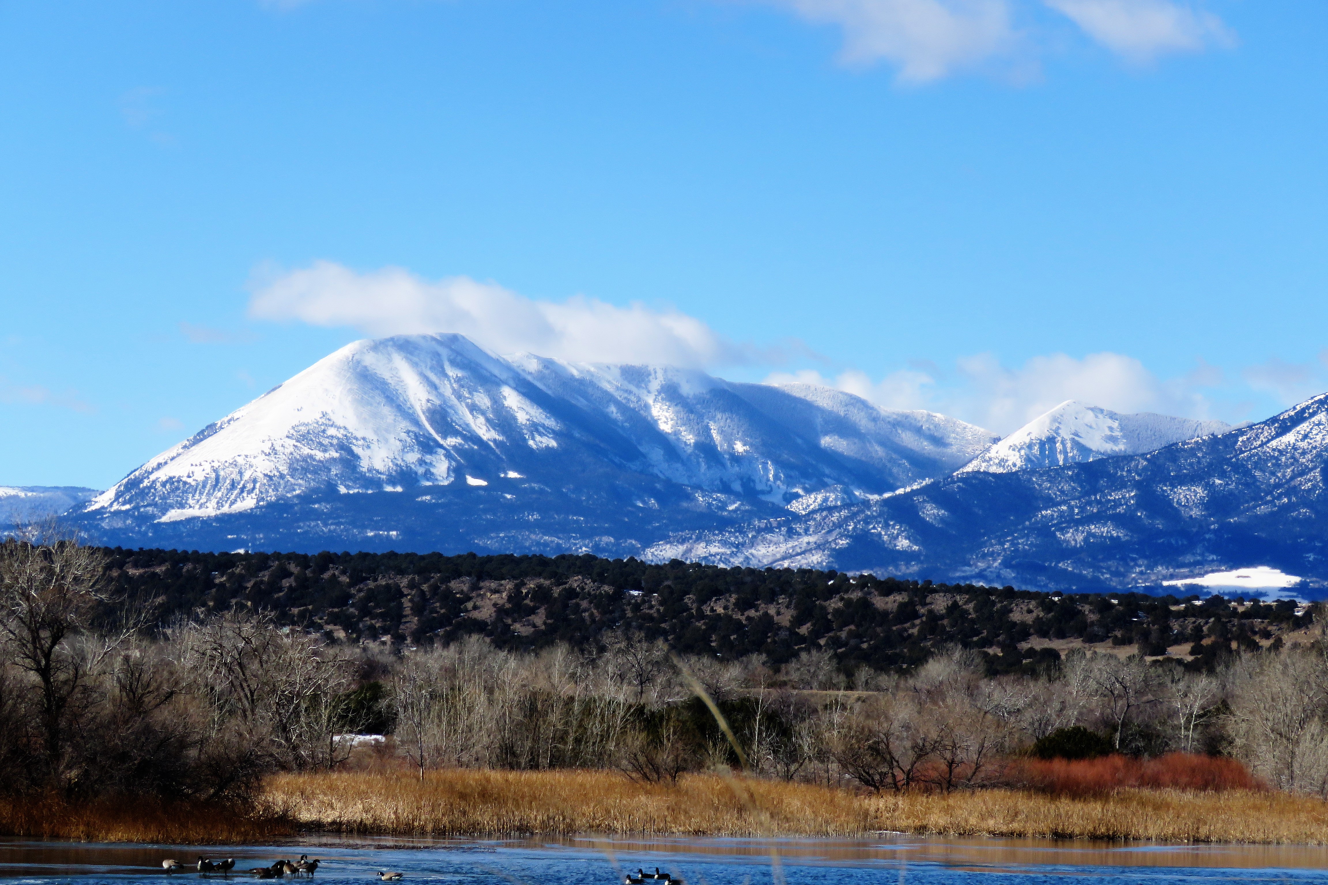
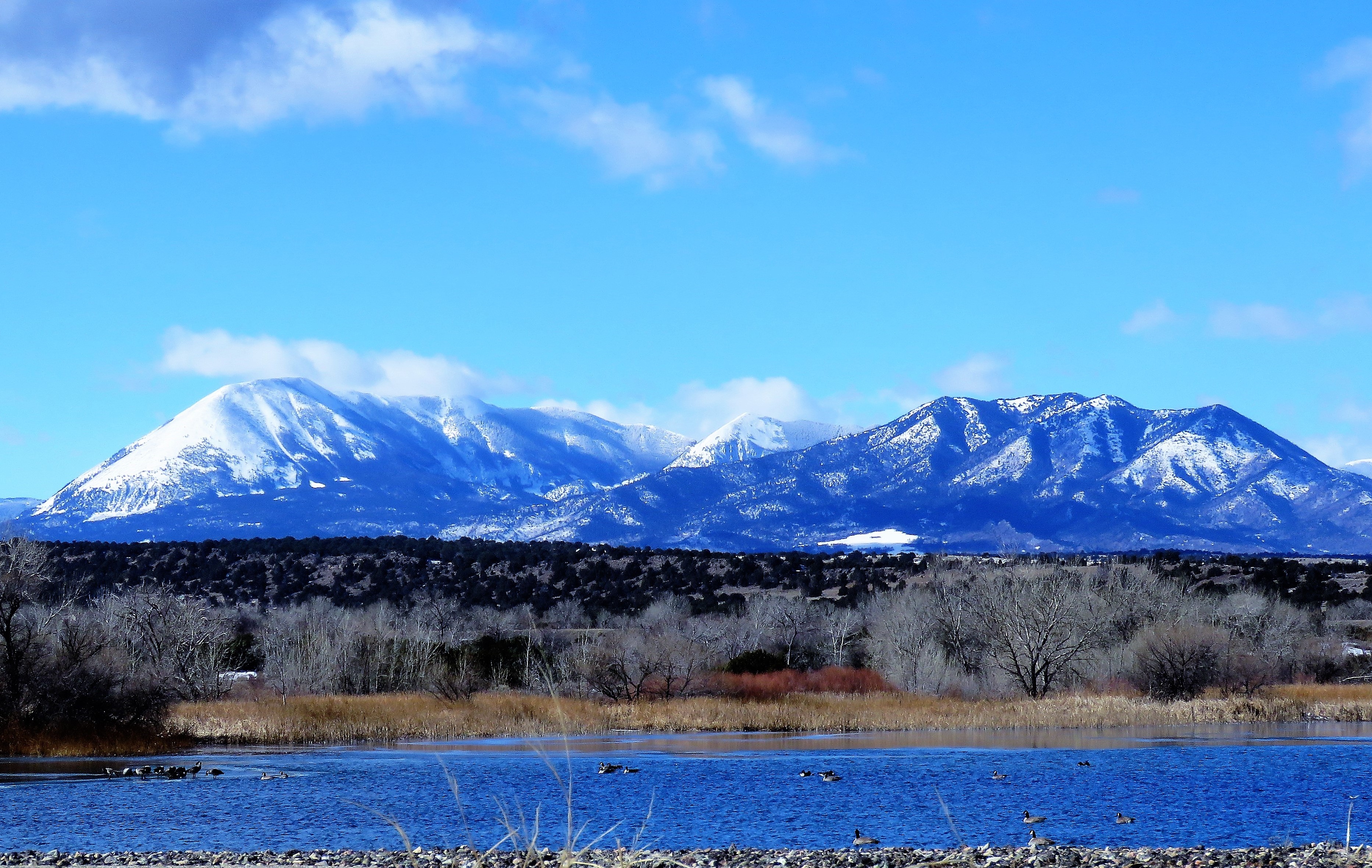
Winter Wetland
Spanish Peaks Country
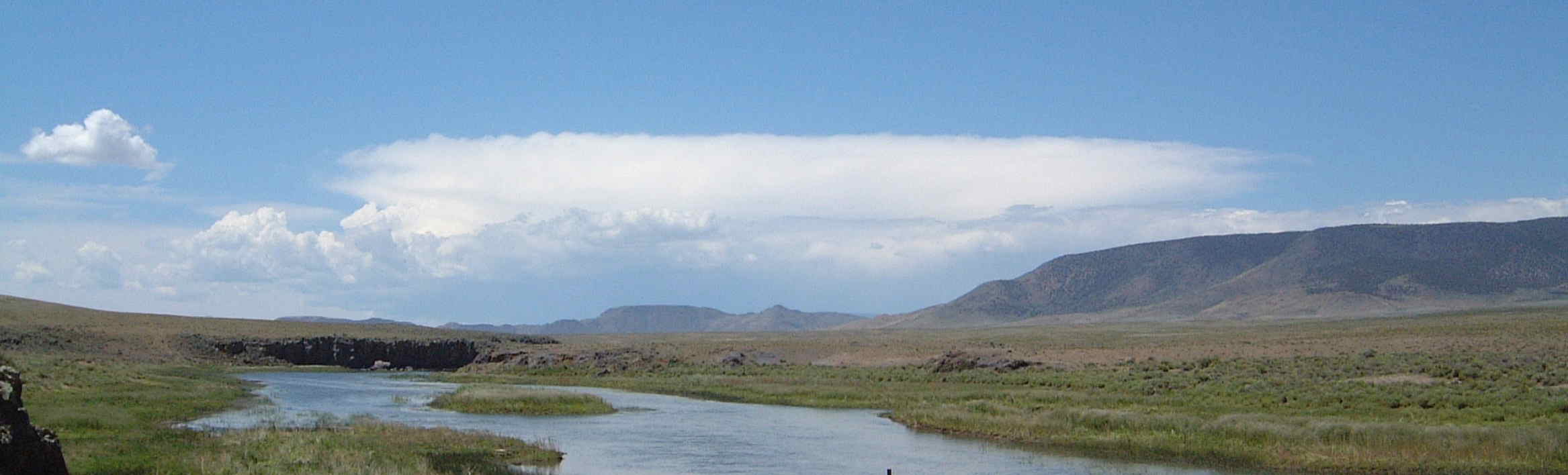
Open Waters

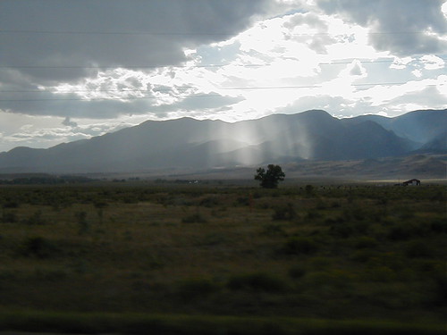
Drama on the Way

Storm Approaching

Snowy Day in Walsenburg, CO

Spanish Peaks

The Start of a Summer Storm Over Walsenburg
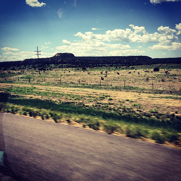
Desert.... As seen through ks

Narcisist (Hipstamatic Contest Entry)
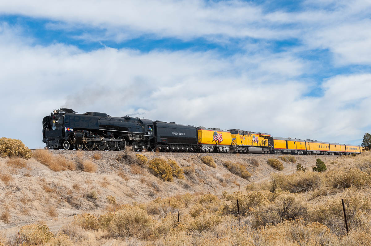
RR-20121104-TwinPeaksSub-227.jpg
Passing By
Topographic Map of Walsenburg, CO, USA
Find elevation by address:

Places near Walsenburg, CO, USA:
107 N Harrison Ave
Walsenburg
330 W Cedar St
Farista
Bear Ridge Ranch
Co Rd, Walsenburg, CO, USA
CO-10, Walsenburg, CO, USA
Black Diamond Park
105 Los Vaqueros Cir
1434 Rowell Rd
Lathrop State Park
381 Rowell Rd
581 Rowell Rd
840 Calle La Sierra Blanca Dr
687 Bear Ridge Rd
334 Pico Del Esta
934 Boot Ct
4114 Co Rd 504
4114 Co Rd 504
4158 Co Rd 504
Recent Searches:
- Elevation of Côte-des-Neiges, Montreal, QC H4A 3J6, Canada
- Elevation of Bobcat Dr, Helena, MT, USA
- Elevation of Zu den Ihlowbergen, Althüttendorf, Germany
- Elevation of Badaber, Peshawar, Khyber Pakhtunkhwa, Pakistan
- Elevation of SE Heron Loop, Lincoln City, OR, USA
- Elevation of Slanický ostrov, 01 Námestovo, Slovakia
- Elevation of Spaceport America, Co Rd A, Truth or Consequences, NM, USA
- Elevation of Warwick, RI, USA
- Elevation of Fern Rd, Whitmore, CA, USA
- Elevation of 62 Abbey St, Marshfield, MA, USA