Elevation of Rolling Hills Ln, Walsenburg, CO, USA
Location: United States > Colorado > Huerfano County > Walsenburg >
Longitude: -104.69639
Latitude: 37.4879323
Elevation: 2075m / 6808feet
Barometric Pressure: 79KPa
Elevation Map:
Satellite Map:
Related Photos:

Spanish Peaks

RR-20121104-TwinPeaksSub-227.jpg

Passing By

Blanca Peak group from I-25
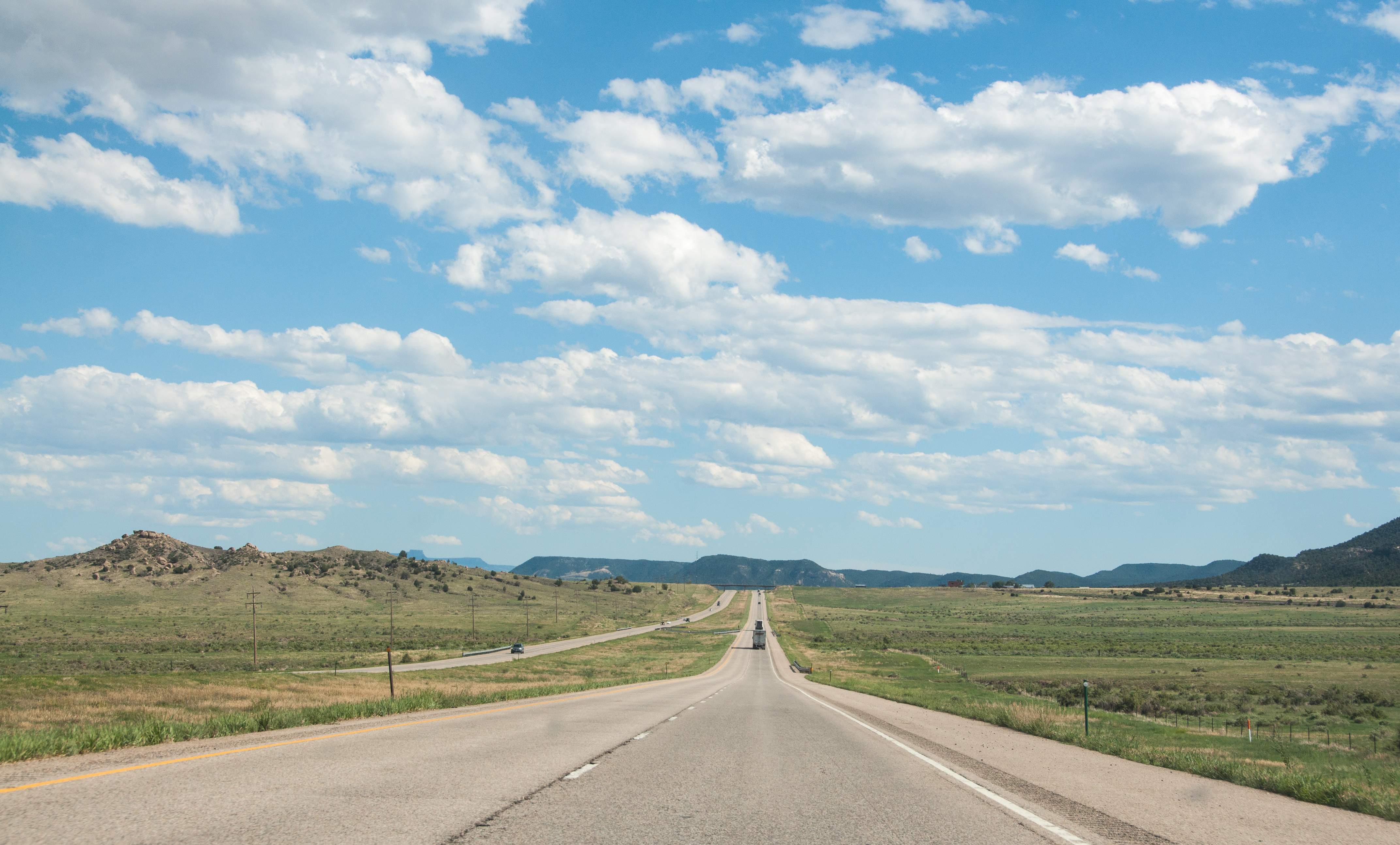
On the road in southeast Colorado

Spanish peaks with a fresh dusting of snow. #cowx #mountains #colorado #photooftheday #weatherchannel #weatherlive #travelgram #travel #traveling #photographyislifee

Southern Colorado
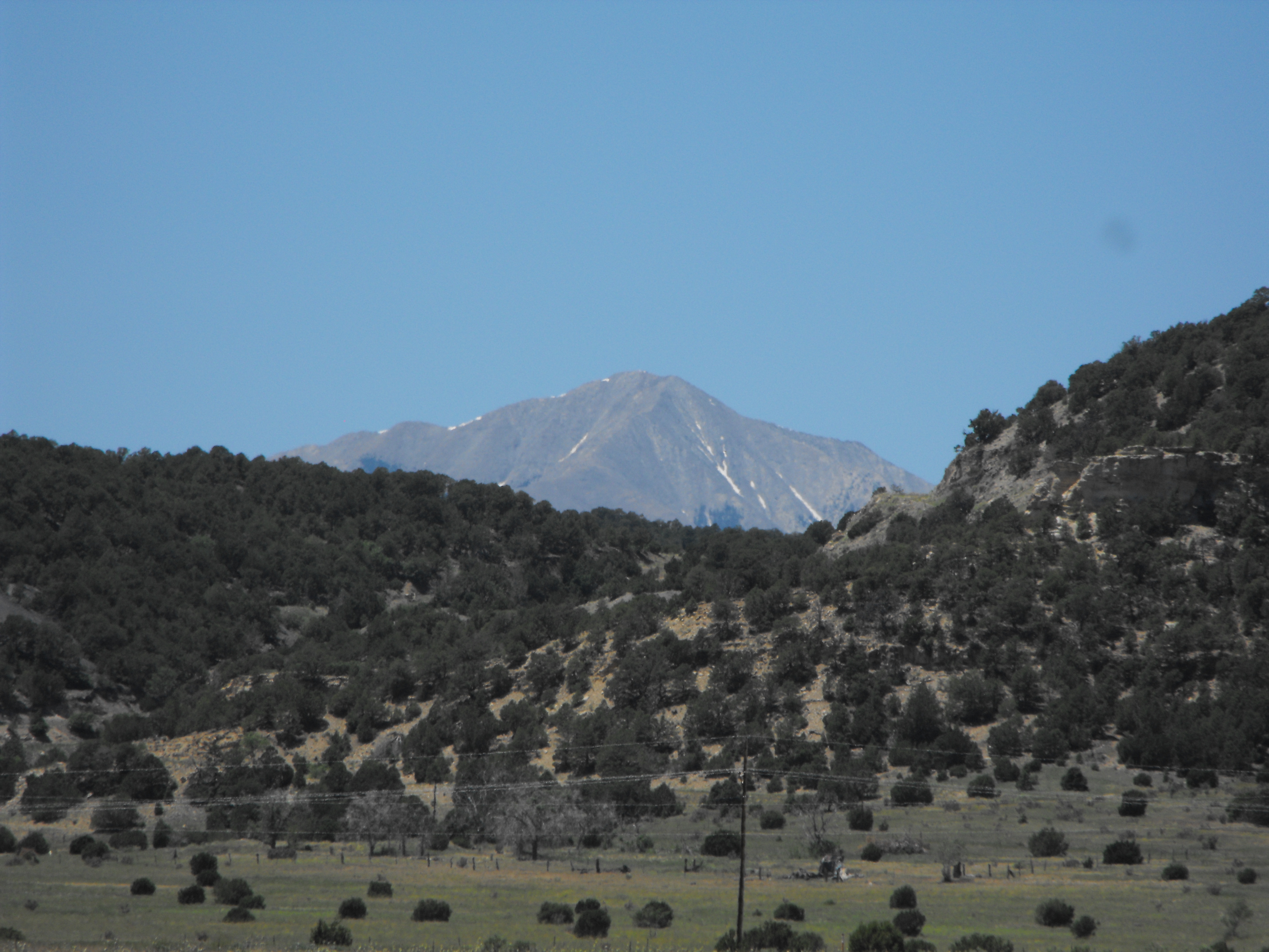
The Rockies from Aguilar, CO

day6-16
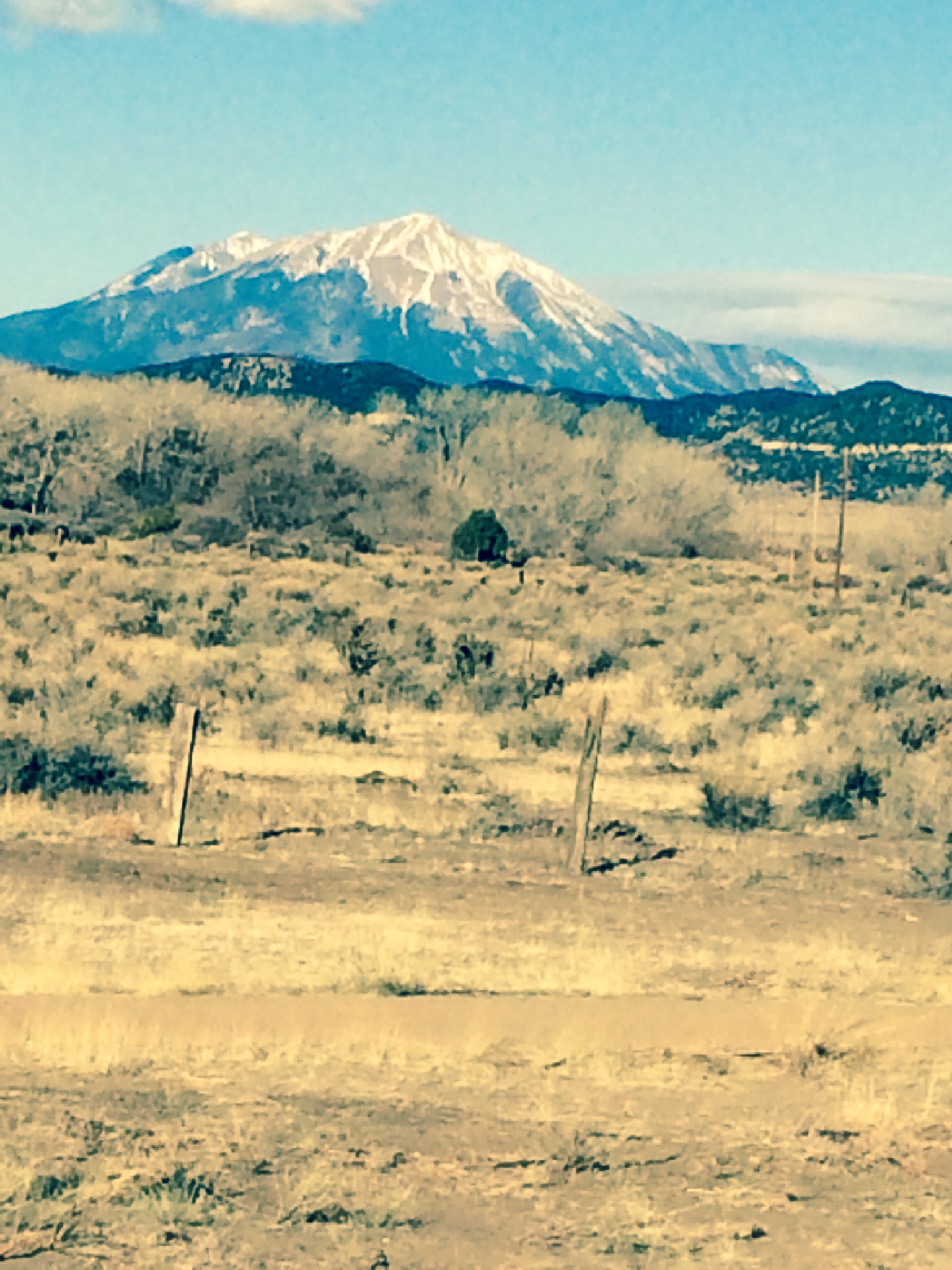
Spanish Peaks, Colorado

IMG_1070-adj
Topographic Map of Rolling Hills Ln, Walsenburg, CO, USA
Find elevation by address:

Places near Rolling Hills Ln, Walsenburg, CO, USA:
1035 Spanish Peaks Dr
Co Rd, Walsenburg, CO, USA
2601 Sunrise Rd
500 Leather Dr
2308 Silver Spurs Rd
7427 Four Mile Canyon Rd
381 Rowell Rd
581 Rowell Rd
1434 Rowell Rd
338 Rope Ct
Lynn
934 Boot Ct
Aguilar
County Rd 56.3, Aguilar, CO, USA
26350 County Rd 43.7
25453 Overlook Dr
County Road 43.7
24215 Trujillo Creek Rd
24251 Wildcat Rd
Bear Ridge Ranch
Recent Searches:
- Elevation of 72-31 Metropolitan Ave, Middle Village, NY, USA
- Elevation of 76 Metropolitan Ave, Brooklyn, NY, USA
- Elevation of Alisal Rd, Solvang, CA, USA
- Elevation of Vista Blvd, Sparks, NV, USA
- Elevation of 15th Ave SE, St. Petersburg, FL, USA
- Elevation of Beall Road, Beall Rd, Florida, USA
- Elevation of Leguwa, Nepal
- Elevation of County Rd, Enterprise, AL, USA
- Elevation of Kolchuginsky District, Vladimir Oblast, Russia
- Elevation of Shustino, Vladimir Oblast, Russia