Elevation of Wildcat Rd, Aguilar, CO, USA
Location: United States > Colorado > Las Animas County > Aguilar >
Longitude: -104.70218
Latitude: 37.3427059
Elevation: 2092m / 6863feet
Barometric Pressure: 79KPa
Elevation Map:
Satellite Map:
Related Photos:
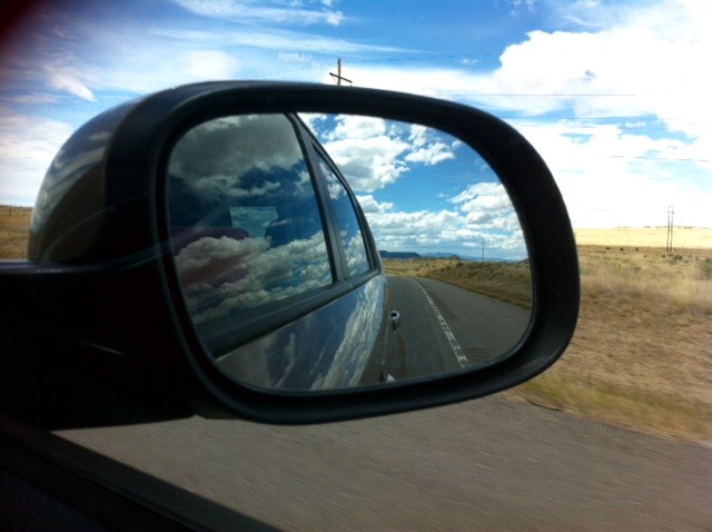
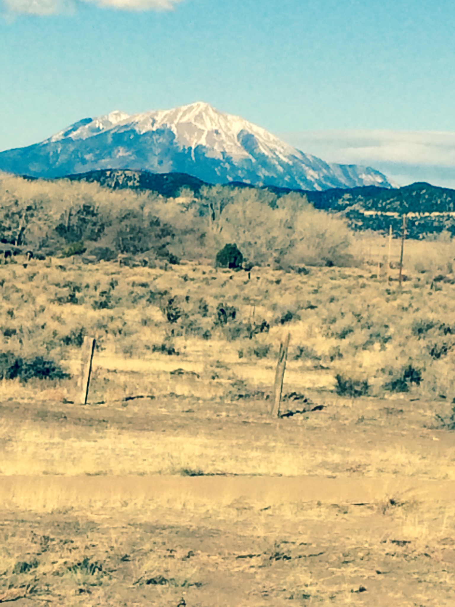
Mountains in the rear view.
IMG_1070-adj
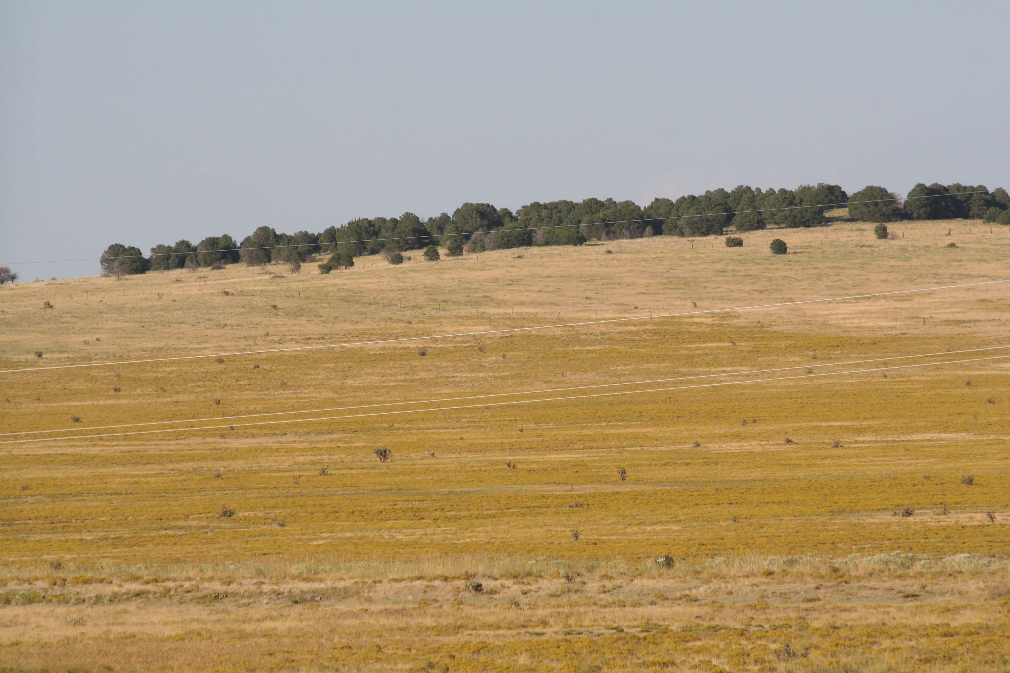
Fields of Gold
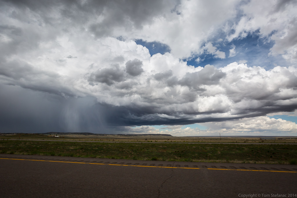
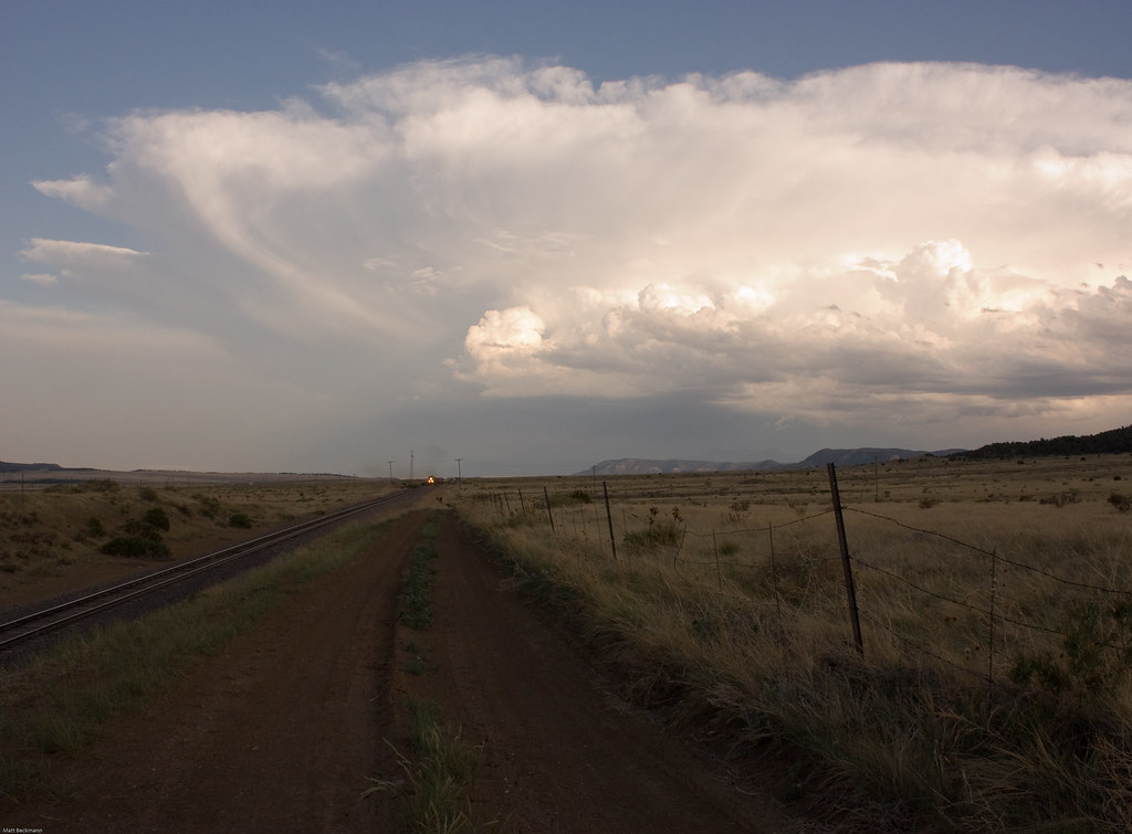
Clouds and Rain

Interstate 25 in southern Colorado
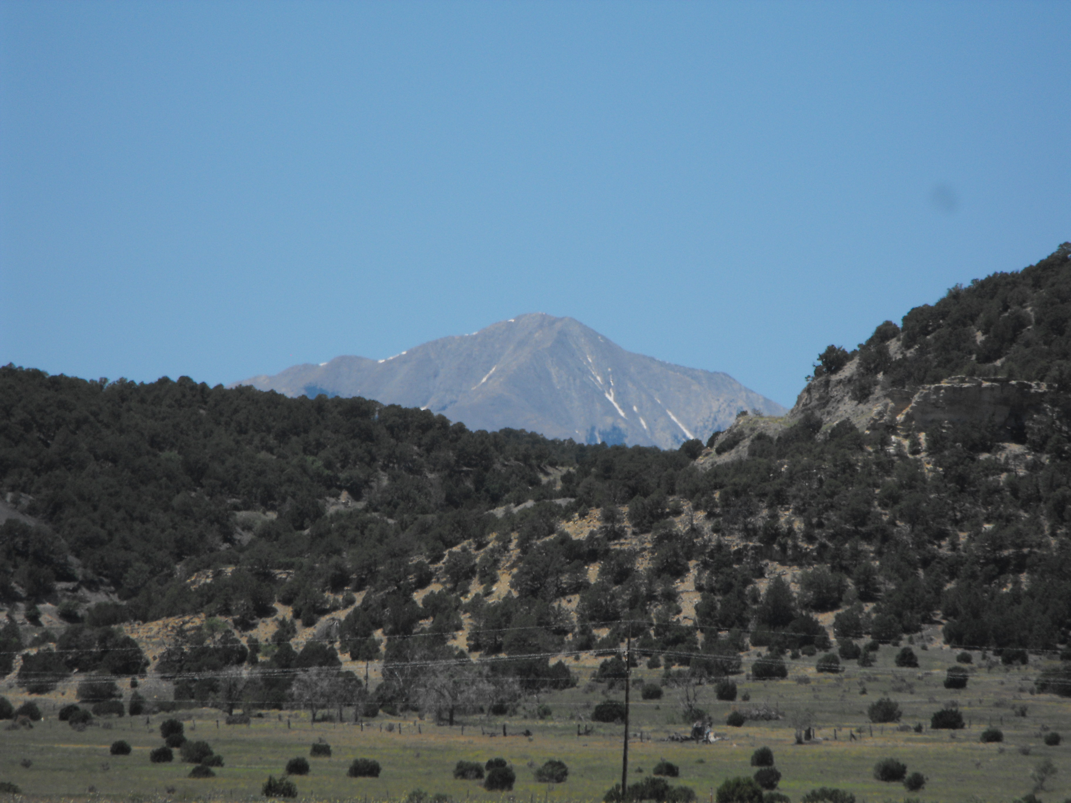
Spanish peaks with a fresh dusting of snow. #cowx #mountains #colorado #photooftheday #weatherchannel #weatherlive #travelgram #travel #traveling #photographyislifee
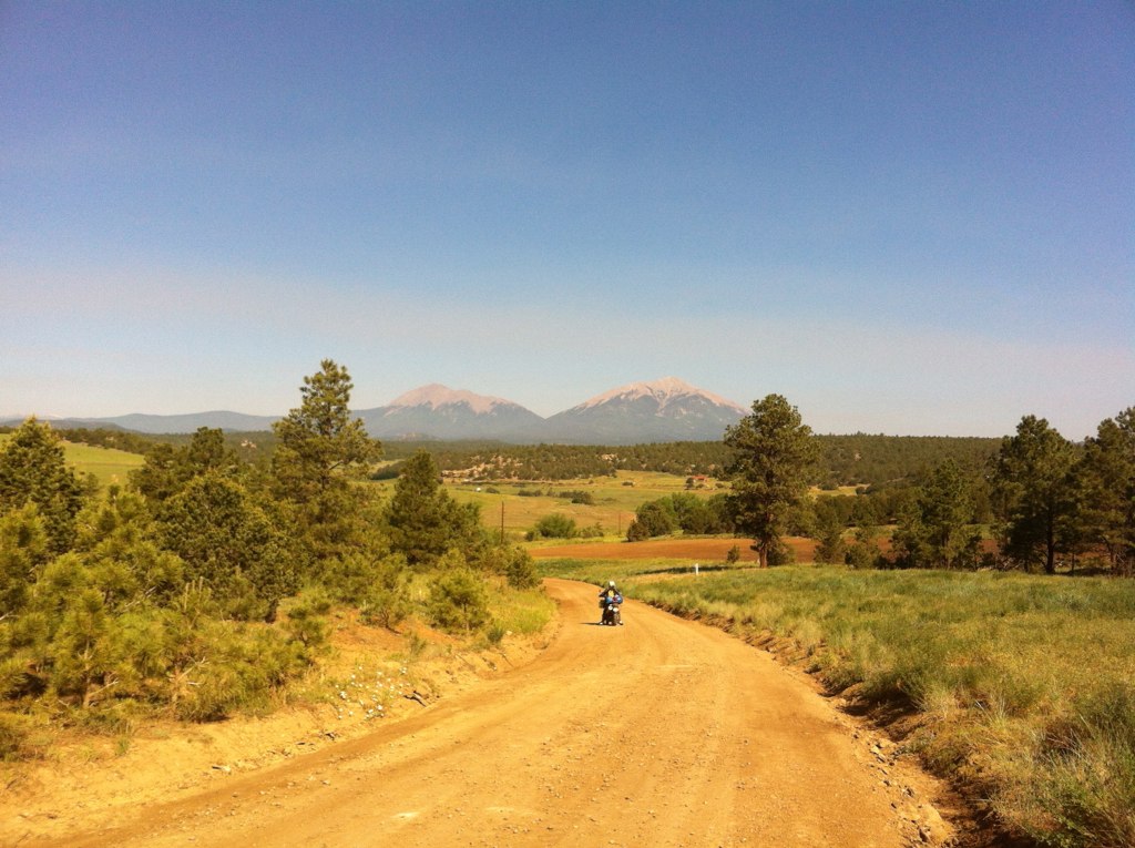
trans am trail CO
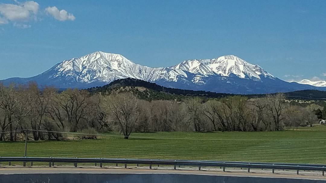
Spanish Peaks, Colorado
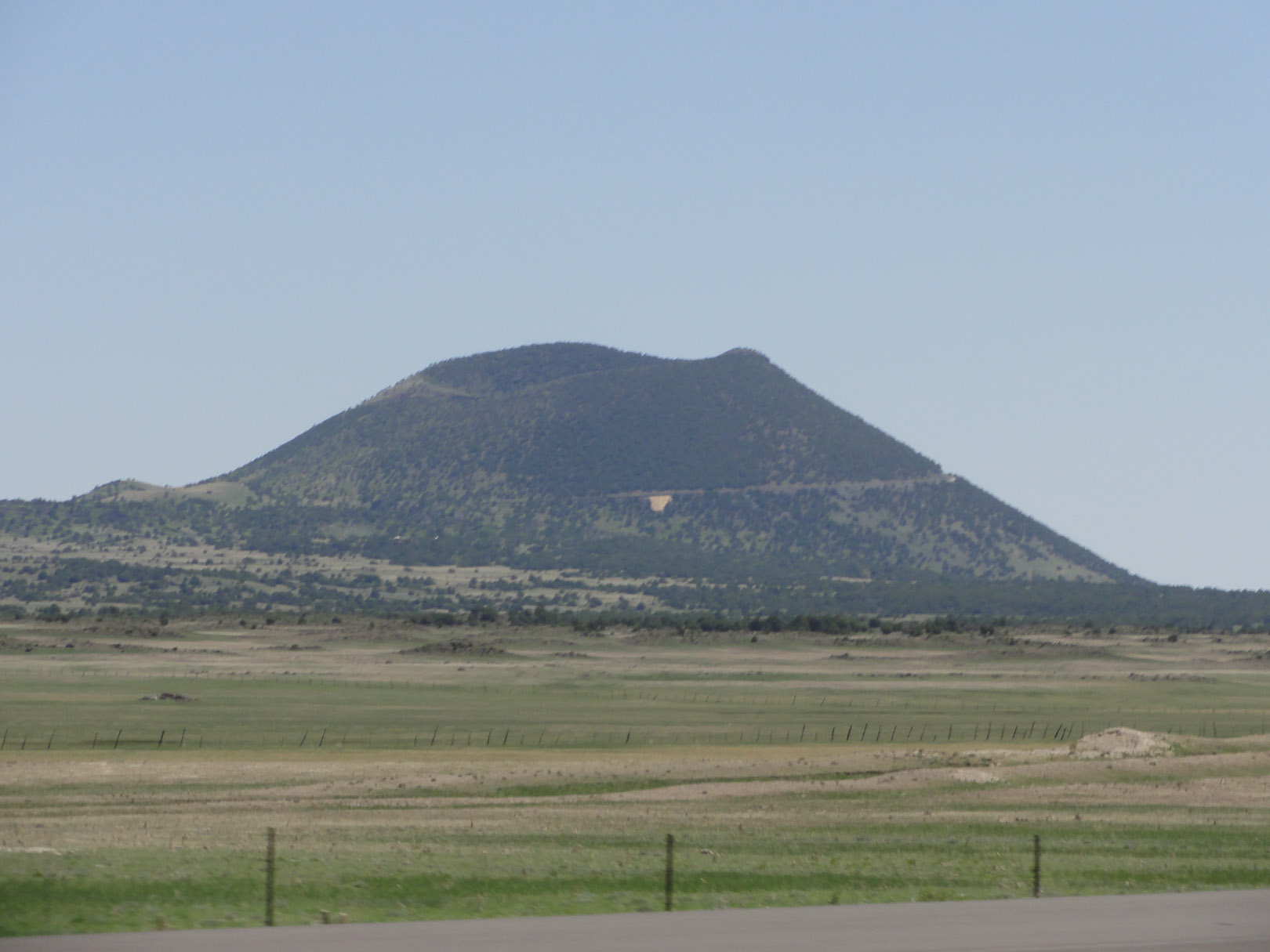
The Rockies from Aguilar, CO
DSC03672.jpg
Topographic Map of Wildcat Rd, Aguilar, CO, USA
Find elevation by address:

Places near Wildcat Rd, Aguilar, CO, USA:
County Road 43.7
25453 Overlook Dr
24215 Trujillo Creek Rd
26350 County Rd 43.7
24215 Trujillo Creek Ranch Rd
25520 Ridgeline Dr
Ridgeline Drive
21540 Ridgeline Dr
20401 County Rd 40.2
20401 County Rd 40.2
County Rd 56.3, Aguilar, CO, USA
Aguilar
17890 Co Rd 51
17890 Co Rd 51
7427 Four Mile Canyon Rd
Lynn
20560 Timber Ln
20722 Tollerburg Rd
31300 Timber Canyon Rd
32017 Big View Dr
Recent Searches:
- Elevation of Steadfast Ct, Daphne, AL, USA
- Elevation of Lagasgasan, X+CQH, Tiaong, Quezon, Philippines
- Elevation of Rojo Ct, Atascadero, CA, USA
- Elevation of Flagstaff Drive, Flagstaff Dr, North Carolina, USA
- Elevation of Avery Ln, Lakeland, FL, USA
- Elevation of Woolwine, VA, USA
- Elevation of Lumagwas Diversified Farmers Multi-Purpose Cooperative, Lumagwas, Adtuyon, RV32+MH7, Pangantucan, Bukidnon, Philippines
- Elevation of Homestead Ridge, New Braunfels, TX, USA
- Elevation of Orchard Road, Orchard Rd, Marlborough, NY, USA
- Elevation of 12 Hutchinson Woods Dr, Fletcher, NC, USA